

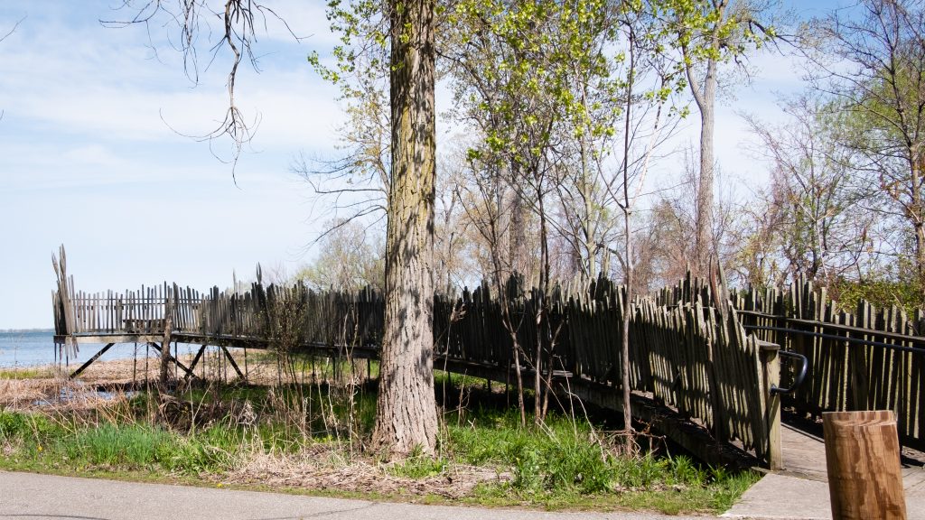
Presque Isle State Park is a 3,200-acre sandy peninsula that extends into Lake Erie and is the state’s only “seashore.” It offers a beautiful coastline and many year round recreational activities, including swimming, boating, fishing, hiking, bicycling, and in-line skating. It is a significant birding hotspot. The Tom Ridge Environmental Center is near the entrance to the park.
The neck of the peninsula is attached to the mainland four miles west of downtown Erie. The peninsula creates Presque Isle Bay, a wide and deep harbor for the city of Erie. The bay attracts many pleasure boats and worldwide freight traffic, making Erie an important Great Lakes shipping port.
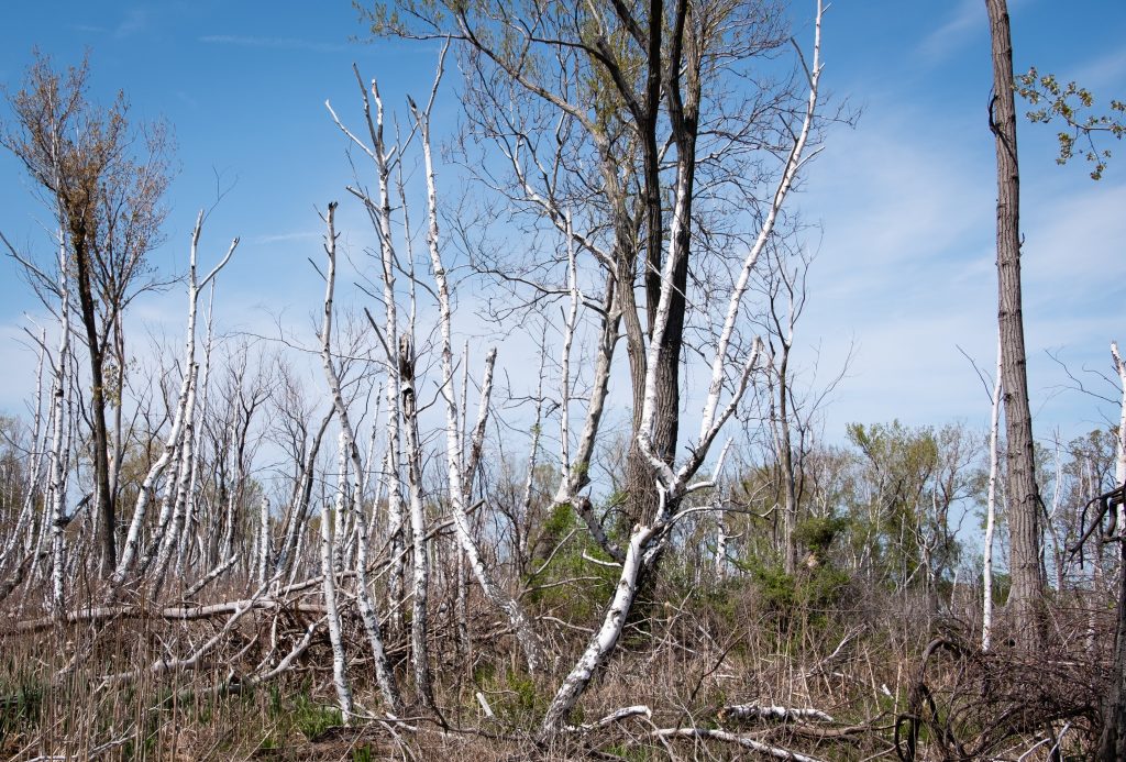
A National Natural Landmark, Presque Isle is a favorite spot for migrating birds. Because of the many unique habitats, Presque Isle contains a greater number of the state’s endangered, threatened, and rare species than any other area of comparable size in Pennsylvania.


West along the shores of Lake Erie is the 587-acre Erie Bluffs State Park. The park offers one mile of shoreline, 90-foot bluffs overlooking Lake Erie, and access to Elk Creek, a shallow stream steelhead fishery. Significant natural features include several plant species of conservation concern, uncommon black oak woodland/savannah habitat, Great Lakes region sand barren ecosystems, and forested wetlands.


