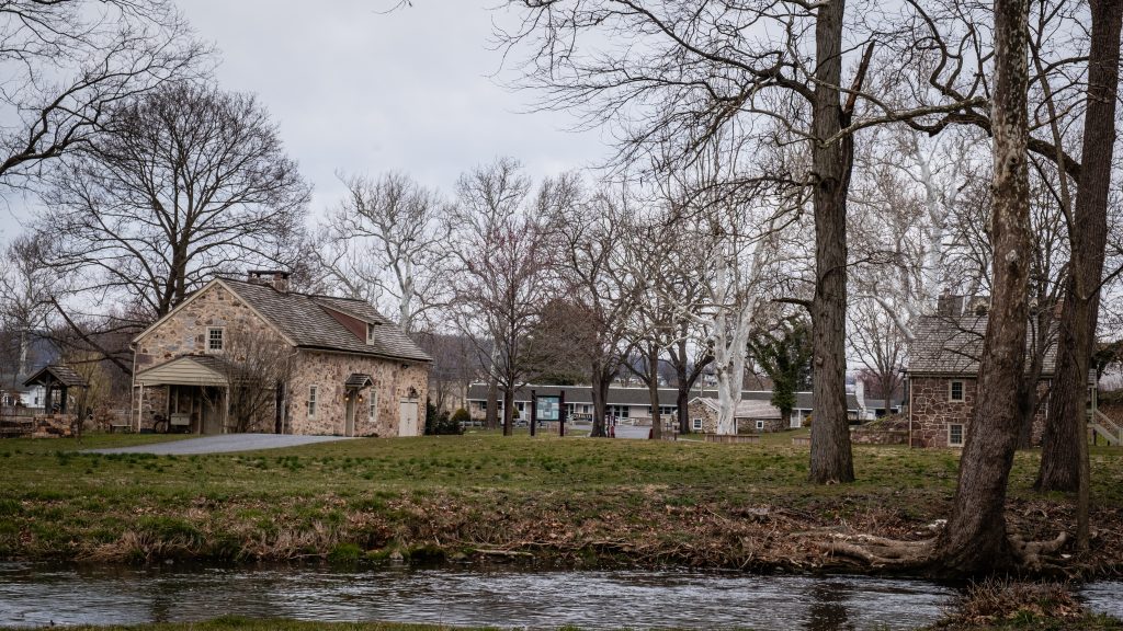
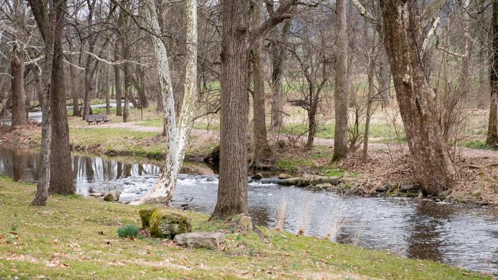
It’s not that often that one comes across a covered bridge with an associated historic site. Poole Forge, in Eastern Lancaster County, is just such a place. The 26-acre site also has a preserved historic Ironmaster’s mansion, children’s playground, picnic pavilion, ball field, Nature Trail, Riparian Buffers, wildflower meadows, and many beautiful gardens along the Conestoga River. It is a national historic district and was listed on the National Register of Historic Places in 1993.
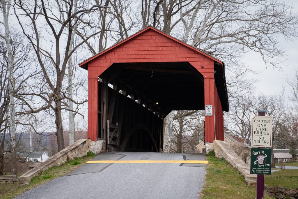
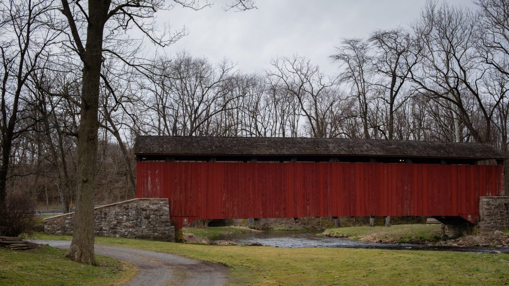
Poole Forge was part of the iron industry in Lancaster and nearby counties. James Old, a Welshman and iron master, purchased the property in 1775. He established and operated a forge here for twenty years. The pig iron was obtained from nearby furnaces such as Hopewell, Joanna, Elizabeth, and Cornwall. Poole Forge refined the iron, then sold it to blacksmiths, or sent it to markets in Philadelphia, where it was used to make armaments for the Revolutionary War. In 1795, he sold the forge to his son, Davis Old, and over the next half century, it continued operation through many changes of hands. In 1852, iron production was ended. The covered bridge dates to 1859.
First up are views of the covered bridge:


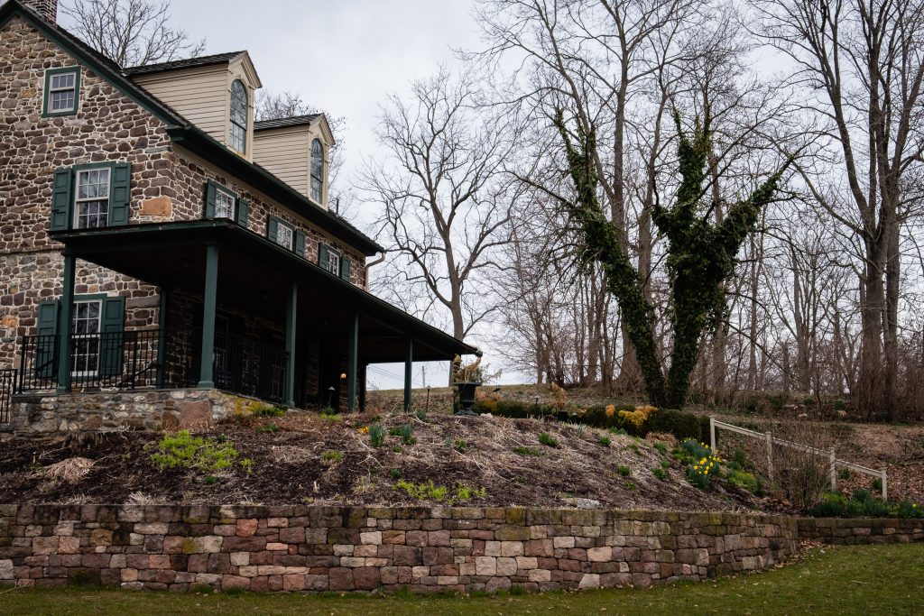
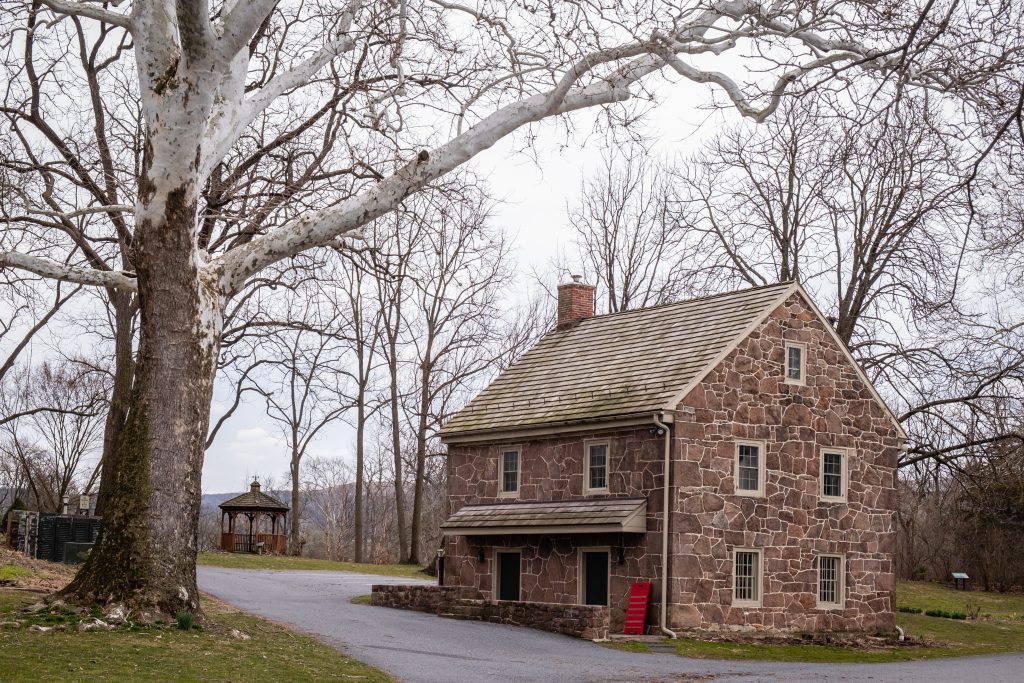
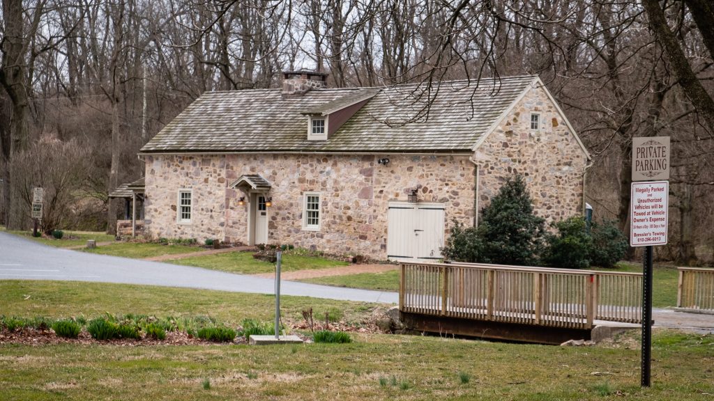
There are multiple fine Federal style buildings at this site.