I ended my visit to northeastern Pennsylvania in Scranton. The Steamtown National Historic Site is a railroad museum and heritage railroad located in downtown Scranton, Pennsylvania, at the site of the former Scranton yards of the Delaware, Lackawanna and Western Railroad (DL&W). Not all parts of the site were open to the public due to maintenance activities during my visit.
The museum is built around a working turntable and a roundhouse that are largely replications of the original DL&W facilities; the roundhouse, for example, was reconstructed from remnants of a 1932 structure. The site also features several original outbuildings dated between 1899 and 1902. All the buildings on the site are listed with the National Register of Historic Places as part of the Delaware, Lackawanna and Western Railroad Yard-Dickson Manufacturing Co. Site.
One of the steam locomotive around the parking area.…, and some more.Display locomotives around the turntable.
A lot of looks at the turntable.
Locomotives on display inside the Roundhouse.
A look inside the museum at some of the exhibits.
This is a working rail yard and train rides are available.A steam locomotive in action.
Vosburg Neck State Park has some lovely natural areas, in addition to the park facilities. Below are some more scenes from my visit. The birding was also very good here, and I had over 50 species during my trip here.
This flock of Turkeys was an unexpected surprise. Spring wild flowers.Finally, some farms along Vosburg Road.
Vosburg Neck State Park lies five miles west of Tunkhannock in Wyoming County. The park’s 669 acres feature historic buildings from the 1700 and 1800s, a canal bed and rail bed,, and a 1700s-era cemetery. Recreational activities include eight miles of trails, non-motorized boating access, and picnic areas.
The park is one of Pennsylvania’s three new state parks, and the most developed to date. The park was formerly the Howland Preserve. It is located in an oxbow on the north branch of the Susquehanna River known as the Vosburg Neck and features a diverse range of habitat.
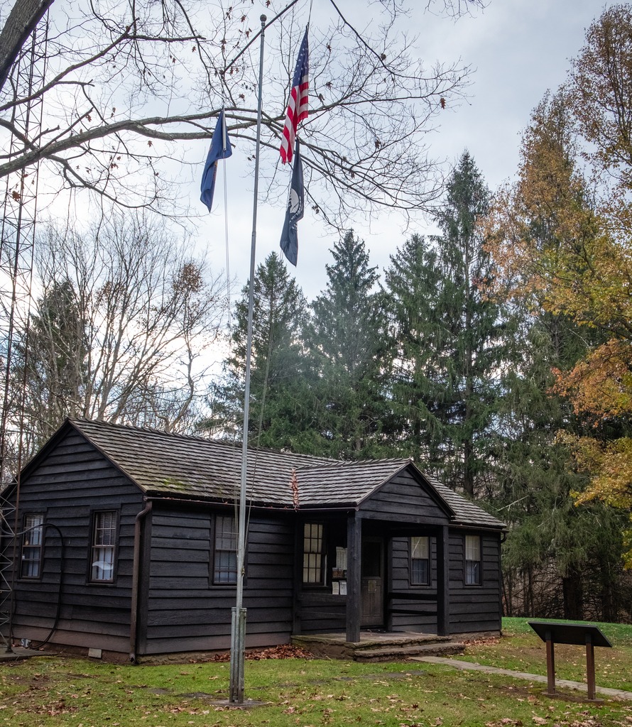
The park office.The Riverside Barn seemed to have been in use for a private function before I arrived.Private residences dot the area. I also lust after one of these trailersThe boat launch.A lovely private home.The cemetery.
I recently started watching the “Franklin” TV series on Apple TV+ which mentions the injury to the Marquis de Lafayette during the Battle of Brandywine. Coincidentally, I had visited part of the battlefield site a few weeks before.
The Brandywine Battlefield Historic Site is a National Historical Landmark which is owned and operated by the Pennsylvania Historical and Museum Commission, on 52 acres (210,000 m2), near Chadds Ford, Delaware County. This area is a partial site of the Battle of Brandywine, which was fought on September 11, 1777. The battle was a decisive victory for the British and cleared a path directly to the capital in Philadelphia.
Brandywine Battlefield Park became a Pennsylvania State Park in 1949 and a National Historic Landmark in 1961. Although the battle area covered more than ten square miles, or 35,000 acres, the modern park only covers the fifty acres that served primarily as the Continental encampment during the two days prior to the battle. To the north, another part of the battlefield is maintained by Birmingham Township, Chester County as “Battlefield of the Brandywine Park,” or “Sandy Hollow Heritage Park.” Much of the afternoon’s fighting took place between Birmingham Friends Meetinghouse and the William Brinton 1704 House near Dilworthtown. A subsequent engagement occurred during the Battle of Paoli. The Paoli Battlefield Historical Park and Paoli Memorial Grounds are located in Malvern.
The site is operated under an agreement between the PHMC and Chadds Ford Township with the Brandywine Battlefield Associates, or “Friends of Brandywine Battlefield” who now operate the site with staff and volunteers. If you wish to visit this site, please check hours before going. I have frequently passed by the gates here, and they have been closed. This was a brief visit, as I was stopping by after a visit to the Brandywine River Museum, and I plan to return in the future.
Some views of the Gideon Gilpin Homestead. The home here is believed to have been used by Lafayette.The Benjamin Ring House, said to haven been used a headquarters by George Washington.Brandywine Baptist Church sites at the edge of the site.One of many United States flags on the site.
The Gosheville Blacksmith Shop lies on Route 352 just south of Paoli Pike in Chester County. It is owned by East Goshen Township and is open Wednesday and Saturday from 10 am to 4 pm for viewing of the interior and and a working blacksmith. It is part of the Goshenville Historic District. While I was there, a young woman was working the forge and making small iron objects. She was also available to provide information about the site. Two rooms on the lower floor are available for viewing.
The Blacksmith Shop is described on the East Goshen Township website thusly:
The Goshenville Blacksmith Shop was built in 1740 by Arron Ashbridge (1712 – 1776) for rental as a wheelwright shop. The hearth room section was built first. Around 1750 Aaron’s son Joshua completed his apprenticeship at the Willistown Forge and opened his own blacksmithing business in this shop. At that time a one and half story addition was erected on the south side of the original building to house the wheelwright shop. Around 1800 the addition was reconstructed with a full second floor to be used as a room for painting wagons and carriages. Sometime in the 1800s the field stone building was covered with stucco (patches of the original stucco remain). It is interesting to point out that iron ore is mixed in with the field stones in the walls of the building…. In addition to horse shoeing, the blacksmith along with the wheelwright, repaired single and double trees for wagons, tightened and re-rimmed wagon wheels, built new hay wagon bodies on farmers running gear. The smith would also repair and sharpen farm tools, replaced wooden handles on shovels and forks and make fireplace andirons and household and farm tools. Often broken tools required welding by heating the parts in the forge then hammering the pieces together at the anvil.
Arriving at Hibernia County Park, I approached the main park area via Lyons Head Drive, a route I had never used before. There are some interesting older cottage style houses along this road, most of which are either off limits due to disrepair or privately occupied. At the top of the hill, I reached the Hibernia Mansion. The mansion is the former abode of local iron masters and a wealthy Philadelphia lawyer. It has expanded in the over the 200 years of its existence to meet the needs of its occupants.
Blue Knob State Park offers year-round wilderness adventures on 6,128 acres of woodland. The park is best know for the ski area of the same name, which is on the tallest mountain used for skiing in the state. The park is in the northwestern tip of Bedford County, west of I-99. The elevation of the park can cause air temperatures to be several degrees cooler than the surrounding cities. The annual snowfall averages about 12 feet. One of the unique features of the park is the solitude it provides the visitor. There are many opportunities to enjoy the quiet and refreshing serenity of the mountains and streams. There is camping, hunting, and fishing here (along with the skiing). There is also a golf course at the base of the ski resort.
The park office.I wasn’t expecting to find a swimming pool here.An old barn that looks like it is now being used for storage.Blue Knob is actually a massif with subsidiary peaks.The ski lodge.More views of the ski area.
Just west of Altoona, the Horseshoe Curve is a three-track railroad curve on Norfolk Southern Railway’s Pittsburgh Line in Blair County, Pennsylvania. The curve is roughly 2,375 feet (700 m) long and 1,300 feet (400 m) in diameter. Completed in 1854 by the Pennsylvania Railroad as a way to reduce the westbound grade to the summit of the Allegheny Mountains, it replaced the time-consuming Allegheny Portage Railroad, which was the only other route across the mountains for large vehicles. The curve was later owned and used by three Pennsylvania Railroad successors: Penn Central, Conrail, and Norfolk Southern.
Horseshoe Curve has long been a tourist attraction. A trackside observation park was completed in 1879. The park was renovated and a visitor center built in the early 1990s. The Railroaders Memorial Museum in Altoona manages the center, which has exhibits pertaining to the curve. The Horseshoe Curve was added to the National Register of Historic Places and designated as a National Historic Landmark in 1966. It became a National Historic Civil Engineering Landmark in 2004.
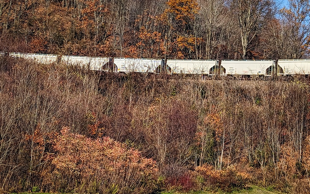
When I visited the curve, I was lucky to have a train passing. The building at the top of the funicular can be seen in front of the train.The Visitor Center complex.
Heading north from the Altoona area, Prince Gallitzin State Park sits in the forested hills of the Allegheny Plateau surrounding sprawling Glendale Lake. Vistas offer scenic views of the 1,635-acre lake with its 26 miles of shoreline, which is a favorite of anglers and boaters. Campers flock to the large campground and also enjoy hiking and other outdoor activities. The varied habitats of the park make it a home for many types of wildlife, and a rest stop in the spring and fall migrations. One of the more developed parks, it boasts a marina along with its other facilities. A state game lands is adjacent. Here I saw two clueless ring necked pheasants just standing there and enjoying the view of the traffic on Beaver Valley Road.
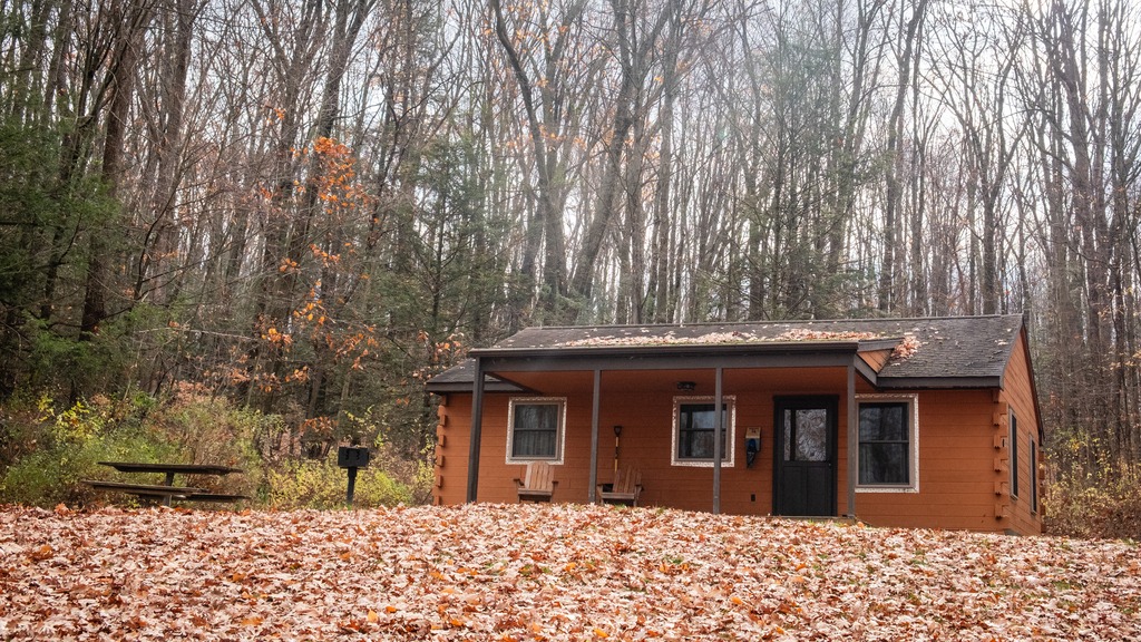
Some of the camping cottages.
The 2,981-acre Yellow Creek State Park is in Indiana County along one of the first “highways” in the state, the Kittanning Path. This trail was used by the Delaware and Shawnee nations and by early settlers. Today, visitors enjoy the sand beach, picnicking, and educational and recreational programs. The 720-acre Yellow Creek Lake is a destination for boaters and anglers. The lake and park are an important rest stop for migrating birds. The park is named for Yellow and Little Yellow creeks, which flow into the lake. Both creeks contain yellow clay in their banks and bottoms.
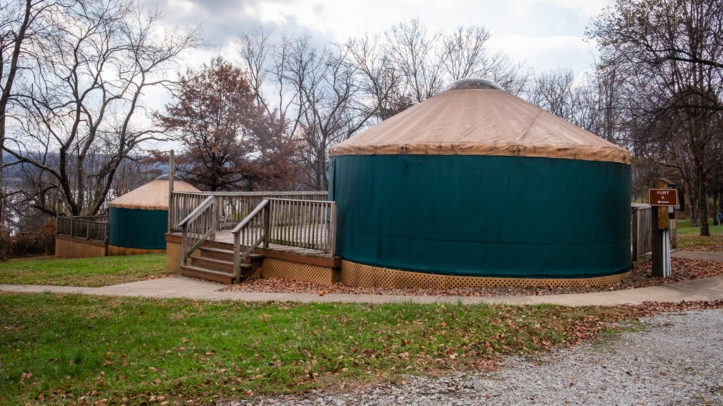
A great group of horses chilling after a ride.One of the state park yurts.
Another westward trip in late fall gave me the opportunity to just about finish off my visits to Pennsylvania’s state parks. I headed north to Altoona from the Fort Littleton area and made a few stops along the way.
The first stop was actually a covered bridge – Hall’s Mill Covered Bridge. It is a wooden covered bridge which is located in Hopewell Township in Bedford County. It was listed on the National Register of Historic Places in 1980. The structure is a 91-foot-long (28 m), Burr Truss bridge with a medium pitched gable roof, and was built in 1872. It crosses Yellow Creek, and is one of fifteen historic covered bridges in Bedford County. It is one of several bridges that I saw in this area with open sides, except for the support beams.
After viewing the bridge, I made my way to Warrior’s Path State Park. This park is one of two near Raystown Lake that I visited. The 349-acre park lies very near the famous path used by the Iroquois in raids and wars with the Cherokees and other American Indians in southern Pennsylvania.
The park is a seasonal, day-use area open from mid-April through the end of October that is fairly small and undeveloped. At other times of the year, visitors must park near the main gate and walk into the park. The park provided opportunities for hiking, boating, fishing and picnicking, wildlife viewing and volleyball. This finger of land is bounded on three sides by the Raystown Branch of the Juniata River, which empties into Raystown Lake approximately one mile downstream. The unique shape of the park was formed as a result of river meandering. This section of the river exhibits some of the best examples of natural stream meandering in the state.
The Raystown branch of the Juniata.
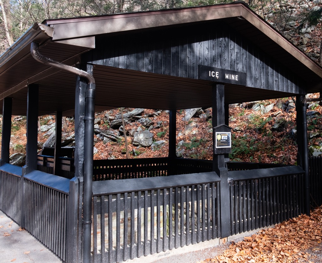
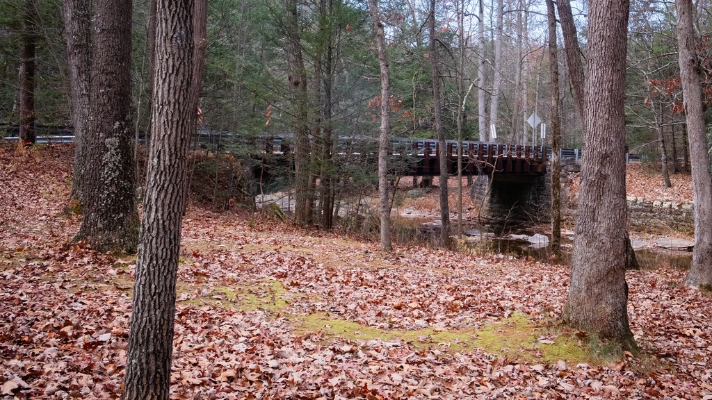
Trough Creek State Park in one of the loveliest in the Commonwealth. The 541-acre park is a scenic gorge formed as Great Trough Creek cuts through Terrace Mountain before emptying into Raystown Lake. Rugged hiking trails lead to wonders like Balanced Rock and Rainbow Falls. Rothrock State Forest and Raystown Lake border the park, making a large, contiguous area of public land for recreation. The park has a lovely campground and the usual state park activities.
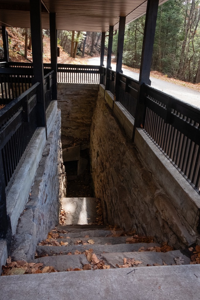
The Balanced Rock is one of Trough Creek’s best know sites.Trough CreekThe Ice MineThis park is full of interesting rock formations.
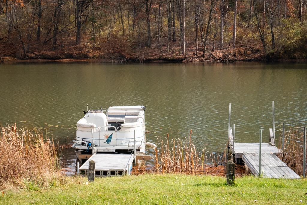
I finished my day with a brief visit to Raystown Lake, an Army Corp of Engineers facility. Raystown Lake is a reservoir in Huntingdon County, Pennsylvania. It is the largest lake that is entirely within Pennsylvania. The original lake was built by the Simpson family of Huntingdon as a hydroelectric project. The current 8,300-acre, 27 mile long Raystown Lake was completed in 1973 by the Army Corps of Engineers. The popular lake offers opportunities for boating, fishing, camping, hiking, swimming, and scenic beauty.
Pennsylvania recently announced the designation of three new state parks. As facilities at these parks are still under development, we will take a brief look at two of them here.
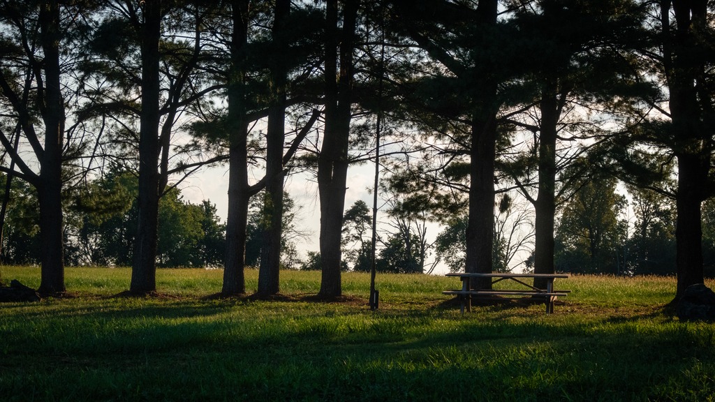
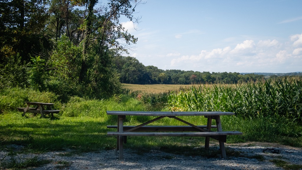
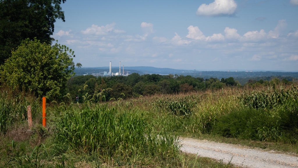
The 1,700-acre Big Elk Creek State Park in southern Chester County. The majority of the park consists of lovely farmlands and forest. The park acts as a wildlife corridor and provides refuge for an array of threatened and endangered species. The park’s namesake, Big Elk Creek, traverses the park and is a high-quality stream. Visitors currently may access passive recreational activities, including trail hiking, bird watching, horseback riding, fishing, and hunting.
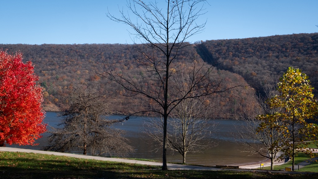
The 1,044-acres of Susquehanna Riverlands State Park lie in York County, along the confluence of Codorus Creek with the beautiful Susquehanna River. It is nearly six miles northwest of Wrightsville, Pennsylvania. The park features multiple rock outcrop vistas over the river and nearly a mile of riverfront along the Susquehanna with 1.5 miles along Codorus Creek. An approximately 2.75-mile-long portion of the Mason-Dixon Trail traverses the park. This 200-mile-long trail connects the Appalachian Trail at Whiskey Springs in Cumberland County with Chadds Ford along the Brandywine River. The cliffs overlooking the river are also popular for rock climbing.
Codorus Furnace is a reconstructed iron furnace that is very close to Susquehanna Riverlands State Park and makes a nice stop if you are visiting the park. Erected in 1765, the Codorus Furnace was once owned by James Smith of York, a signer of the Declaration of Independence. Cannon balls were cast in the original furnace during the Revolutionary War and the War of 1812. In 1837, iron was floated downstream to Philadelphia and Baltimore to service early manufacturing. The furnace ceased operations in 1850. The Codorus Furnace is currently owned and maintained by the Conservation Society of York County.