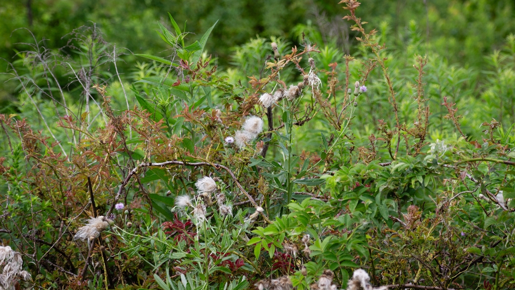
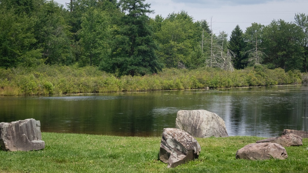
Located in Somerset County, Lake Somerset is a 253-acre impoundment owned by the Commonwealth of Pennsylvania and managed by the Fish and Boat Commission for public fishing and boating. The lake historically has stocked the lake with Channel Catfish, Muskellunge and Walleye fingerling. Fish habitat structures have been placed in the lake over the years a fish habitat improvement program. Boating is limited to boats powered by electric motors and un-powered boats. Two launch ramps are available along with associated parking facilities. Un-powered boats may be moored at the lake in accordance with Commission property regulations. The lake was extensively renovated beginning in 2017. The county has created a nature park around the lake. It seems like a lovely amenity for the region for birding and walking as well a boating and fishing.
There was a small boat concession operating at the lake.This fishing pier seemed quite popular.
Harveys Lake, one of Pennsylvania’s few natural lakes, is found in Luzerne County. It has a surface area of approximately 621.5 acres, or nearly a square mile, and it is situated entirely within the borough of Harveys Lake. By volume, it is the largest natural lake in Pennsylvania, and by surface area, is the second-largest lake. It is a glacial lake surrounded by hills and is the source of Harveys Creek, a tributary of the Susquehanna River. Despite being a natural lake, it has a stone masonry dam. The lake’s watershed has an area of approximately 3600 acres. Nearly all of the developed land in the area is close to the lake itself, and the lake is surrounded entirely by a paved road. As you can see from the below photographs, the area around the lake is heavily developed with homes and other buildings built right up to the lakeshore around nearly the entire perimeter.
It is sad that few of Pennsylvania’s natural glacier lakes have been preserved in their natural, undammed state, with limited development. Few Pennsylvania residents will ever get an opportunity to experience a natural lake or learn about and appreciate their ecological importance. What has happened to Harveys Lake is, unfortunately, fairly typical of these lakes.
The day I visited, there was intermittent rain and heavily overcast skies, which do not make for the prettiest pictures.
On my way to visit Hibernia County Park in Chester County, I was finally able to photograph this barn and the adjacent house near Coatesville that I had long wanted to get a picture of.
I also finally made a trip to the Coatesville Reservoir, another place I had never visited before.
Here are some other interesting sights in the area of Wagontown, Chester County.
Just west of Altoona, the Horseshoe Curve is a three-track railroad curve on Norfolk Southern Railway’s Pittsburgh Line in Blair County, Pennsylvania. The curve is roughly 2,375 feet (700 m) long and 1,300 feet (400 m) in diameter. Completed in 1854 by the Pennsylvania Railroad as a way to reduce the westbound grade to the summit of the Allegheny Mountains, it replaced the time-consuming Allegheny Portage Railroad, which was the only other route across the mountains for large vehicles. The curve was later owned and used by three Pennsylvania Railroad successors: Penn Central, Conrail, and Norfolk Southern.
Horseshoe Curve has long been a tourist attraction. A trackside observation park was completed in 1879. The park was renovated and a visitor center built in the early 1990s. The Railroaders Memorial Museum in Altoona manages the center, which has exhibits pertaining to the curve. The Horseshoe Curve was added to the National Register of Historic Places and designated as a National Historic Landmark in 1966. It became a National Historic Civil Engineering Landmark in 2004.
When I visited the curve, I was lucky to have a train passing. The building at the top of the funicular can be seen in front of the train.The Visitor Center complex.
Heading north from the Altoona area, Prince Gallitzin State Park sits in the forested hills of the Allegheny Plateau surrounding sprawling Glendale Lake. Vistas offer scenic views of the 1,635-acre lake with its 26 miles of shoreline, which is a favorite of anglers and boaters. Campers flock to the large campground and also enjoy hiking and other outdoor activities. The varied habitats of the park make it a home for many types of wildlife, and a rest stop in the spring and fall migrations. One of the more developed parks, it boasts a marina along with its other facilities. A state game lands is adjacent. Here I saw two clueless ring necked pheasants just standing there and enjoying the view of the traffic on Beaver Valley Road.
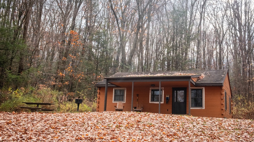
Some of the camping cottages.
The 2,981-acre Yellow Creek State Park is in Indiana County along one of the first “highways” in the state, the Kittanning Path. This trail was used by the Delaware and Shawnee nations and by early settlers. Today, visitors enjoy the sand beach, picnicking, and educational and recreational programs. The 720-acre Yellow Creek Lake is a destination for boaters and anglers. The lake and park are an important rest stop for migrating birds. The park is named for Yellow and Little Yellow creeks, which flow into the lake. Both creeks contain yellow clay in their banks and bottoms.
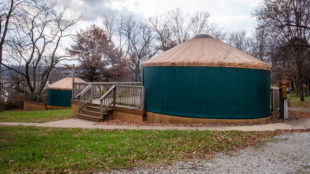
A great group of horses chilling after a ride.One of the state park yurts.
Another westward trip in late fall gave me the opportunity to just about finish off my visits to Pennsylvania’s state parks. I headed north to Altoona from the Fort Littleton area and made a few stops along the way.
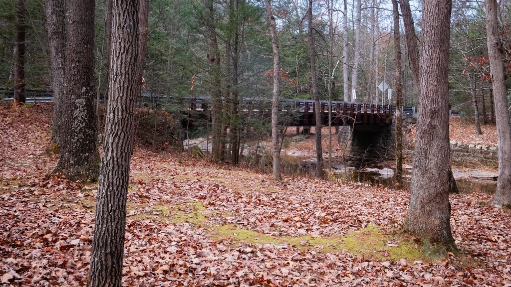
The first stop was actually a covered bridge – Hall’s Mill Covered Bridge. It is a wooden covered bridge which is located in Hopewell Township in Bedford County. It was listed on the National Register of Historic Places in 1980. The structure is a 91-foot-long (28 m), Burr Truss bridge with a medium pitched gable roof, and was built in 1872. It crosses Yellow Creek, and is one of fifteen historic covered bridges in Bedford County. It is one of several bridges that I saw in this area with open sides, except for the support beams.
After viewing the bridge, I made my way to Warrior’s Path State Park. This park is one of two near Raystown Lake that I visited. The 349-acre park lies very near the famous path used by the Iroquois in raids and wars with the Cherokees and other American Indians in southern Pennsylvania.
The park is a seasonal, day-use area open from mid-April through the end of October that is fairly small and undeveloped. At other times of the year, visitors must park near the main gate and walk into the park. The park provided opportunities for hiking, boating, fishing and picnicking, wildlife viewing and volleyball. This finger of land is bounded on three sides by the Raystown Branch of the Juniata River, which empties into Raystown Lake approximately one mile downstream. The unique shape of the park was formed as a result of river meandering. This section of the river exhibits some of the best examples of natural stream meandering in the state.
The Raystown branch of the Juniata.
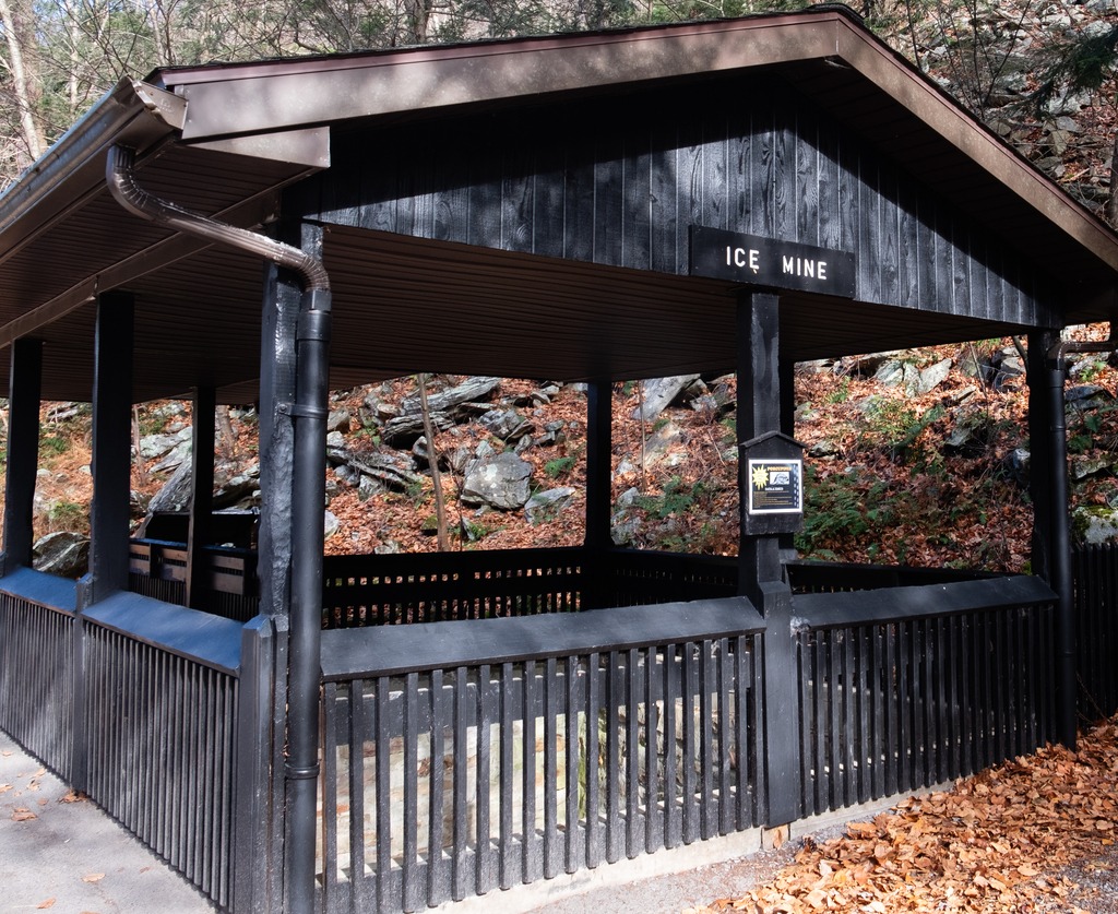
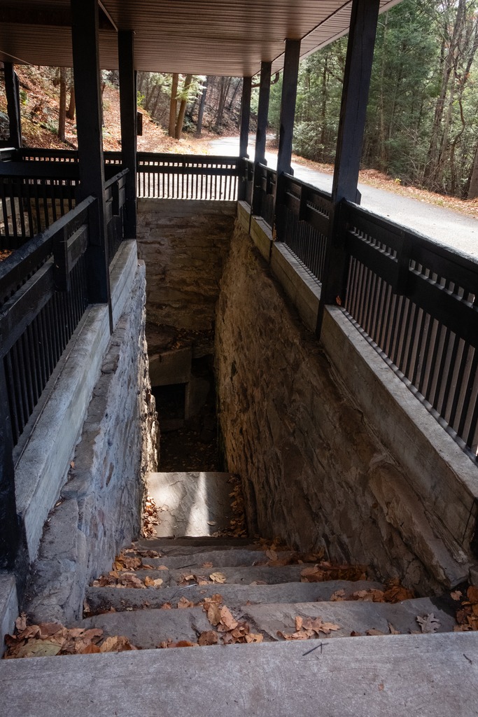
Trough Creek State Park in one of the loveliest in the Commonwealth. The 541-acre park is a scenic gorge formed as Great Trough Creek cuts through Terrace Mountain before emptying into Raystown Lake. Rugged hiking trails lead to wonders like Balanced Rock and Rainbow Falls. Rothrock State Forest and Raystown Lake border the park, making a large, contiguous area of public land for recreation. The park has a lovely campground and the usual state park activities.
The Balanced Rock is one of Trough Creek’s best know sites.Trough CreekThe Ice MineThis park is full of interesting rock formations.
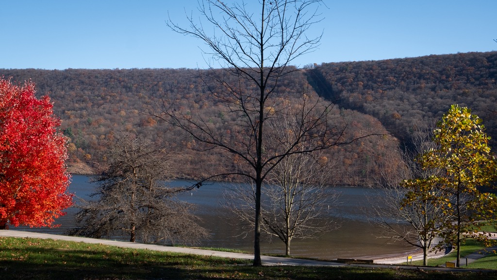
I finished my day with a brief visit to Raystown Lake, an Army Corp of Engineers facility. Raystown Lake is a reservoir in Huntingdon County, Pennsylvania. It is the largest lake that is entirely within Pennsylvania. The original lake was built by the Simpson family of Huntingdon as a hydroelectric project. The current 8,300-acre, 27 mile long Raystown Lake was completed in 1973 by the Army Corps of Engineers. The popular lake offers opportunities for boating, fishing, camping, hiking, swimming, and scenic beauty.
A trip to Middle Creek in late summer led to some unexpected viewing. I went in search of a Hudsonian Godwit, but found something else entirely. First up was this group of horses, hitched to a fence with no riders in sight:
I then spied this wedding party (perhaps Mennonite?) near the visitors center.
An finally, that Hudsonian Godwit and some Canada Geese with an interloper Great Egret.
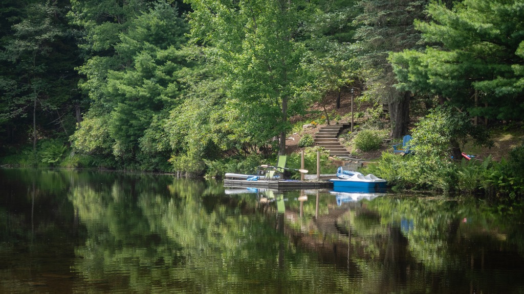
My annual trip to Lake Naomi in the Poconos with some friends occurred back in August. I took the opportunity to stop at a few locations along the way.
My first stop was the Little Gap Covered Bridge. The bridge was built around 1860, and the structure is a seventy-three-foot, Burr truss-span that crosses the Aquashicola Creek. The bridge incorporated elements of the Howe truss in its construction. A nearby restaurant, the “Covered Bridge Inn,” takes its name from the bridge. In 2011, the bridge was damaged by a hit and run driver.
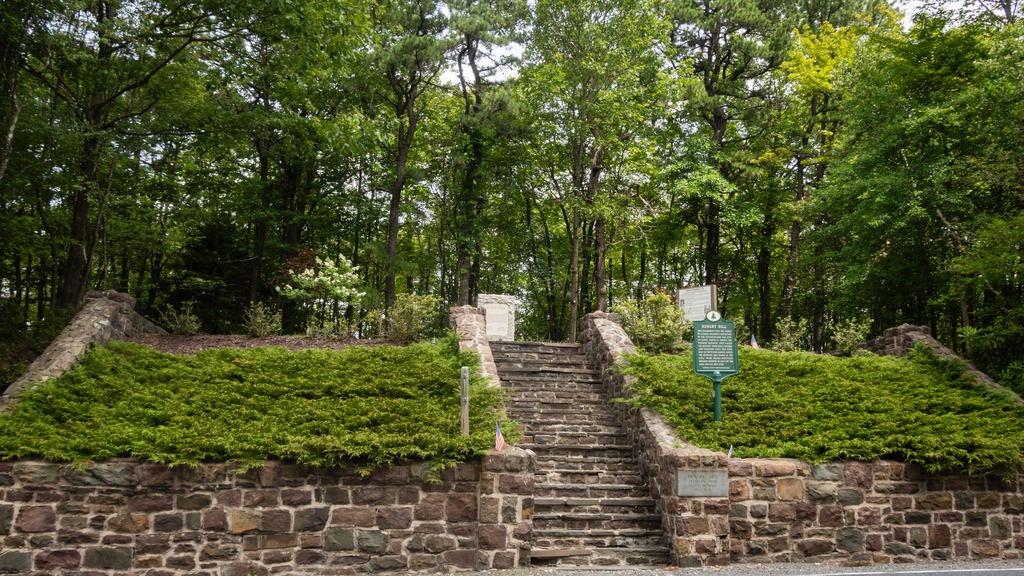
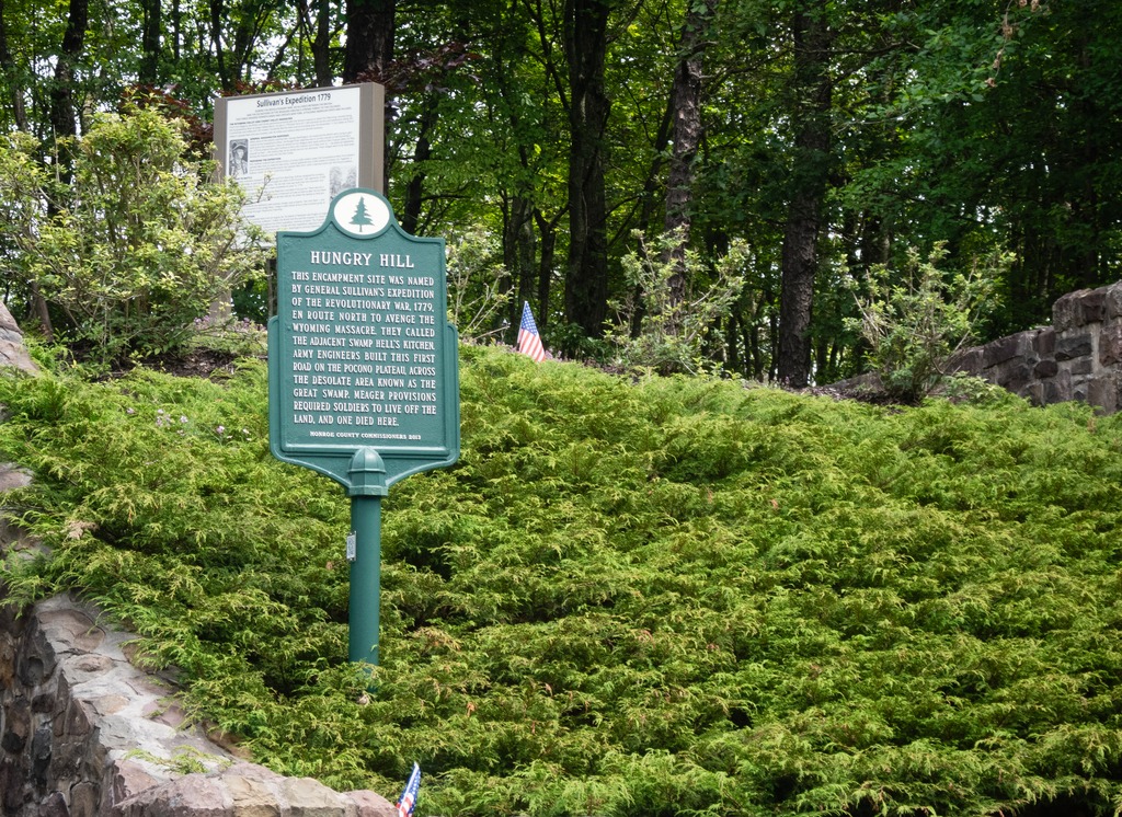
A second stop, very close to Lake Naomi, is the Hungry Hill historic site on the Sullivan Trail. The site is a Revolutionary War memorial and gravesite of an unknown soldier of the Revolutionary War.
The inscription on the plaque reads: “This encampment site was named by General Sullivan’s expedition of the Revolutionary War, 1779, en route north to avenge the Wyoming Massacre. They called the adjacent swamp Hell’s Kitchen. Army engineers built this first road on the Pocono Plateau, across the desolate area known as the Great Swamp. Meager provisions required the soldiers to live off the land, and one died here.”
Mount Davis (3,213 ft or 979 m) is the highest point in Pennsylvania. Located in the 5,685-acre (2,301 ha) Forbes State Forest near the hamlet of Markleton in Elk Lick Township, Somerset County, it lies on a gentle crest of a 30-mile (50 km) ridge line extending from central Somerset County southward into Garrett County, Maryland. The high point was named for John Nelson Davis, an early settler, American Civil War veteran, surveyor, and naturalist known for his studies of the mountain’s flora and fauna. During the Civil War, Davis served in Company E, 102nd Pennsylvania Infantry.
The summit of Mt. Davis may be ascended by car or a number of hiking trails. Its surroundings are noted for their patterns of unusual circular stone formed by periglacial action. A metal observation tower with a relief map of the region stands near the true high point.
I found this location surprising. It was not what I was picturing in my mind for many years. The area immediately surrounding the summit is state forest, however you can be a five minute drive from the summit and still be going through farmland, which doesn’t make the peak seem that prominent or that high. I guess the surrounding area is at a pretty high elevation.
Mt. Davis lake from the summit.This is actually the best view, rather than the fire tower.This state forest facility is near the remnants of an old CCC camp.Looks like an old CCC cabin.This young man waved hello as he passed. I found quite a few Amish farms in the area.
Ryerson Station State Park is in Greene County in the southwestern corner of Pennsylvania, near the West Virginia border. It seems to sit off by itself down in that corner. It is near Moundsville, WV, a place I have been to, but that is a story for another day. The 1,164-acre park features the fanciest state park swimming pool I have ever seen, campground, hiking, fishing, picnicking, and winter activities.
A lovely nearby home.And an interesting old barn.Here’s that swimming pool.
Next we have an interesting feature – the remains of an old reservoir. I don’t think I’ve ever seen one quite like this. You can see where the hole was created in the dam to allow the stream to run again. The lake appears to have been fairly shallow.
Near the Pittsburgh metro area, Raccoon Creek State Park is one of Pennsylvania’s largest and most visited state parks. It began as a Recreational Demonstration Area operated by the National Park Service in the 1930s during the Civilian Conservation Corps (CCC) era. The park encompasses 7,572 acres and features the beautiful 101-acre Raccoon Lake. Facilities are a mix of modern and rustic with group camps from the CCC era.
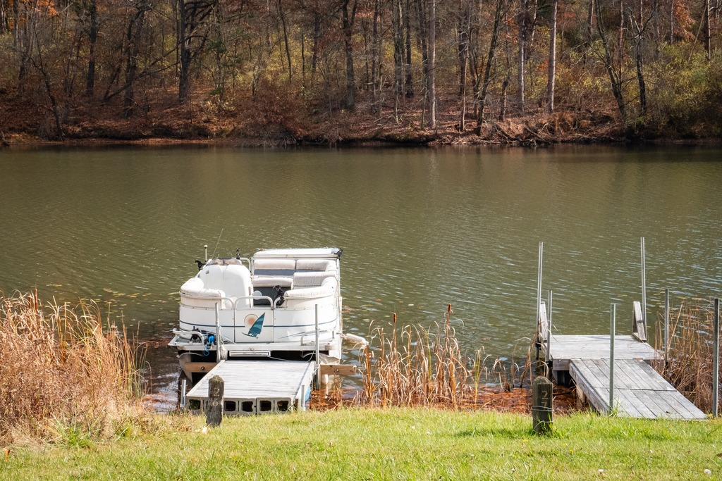
I wonder if this guy will have better luck fishing.Some of the park cabins …
The nearby Hillman State Park is managed for hunting by the Pennsylvania Game Commission. Hiking trails are open to the public. Horseback riding, cycling and other activities are also available. The park also has a model airplane field, an unusual feature. I actually screwed up when visiting here. It looks like one of the main features of the park is a covered bridge, and I managed to miss it.