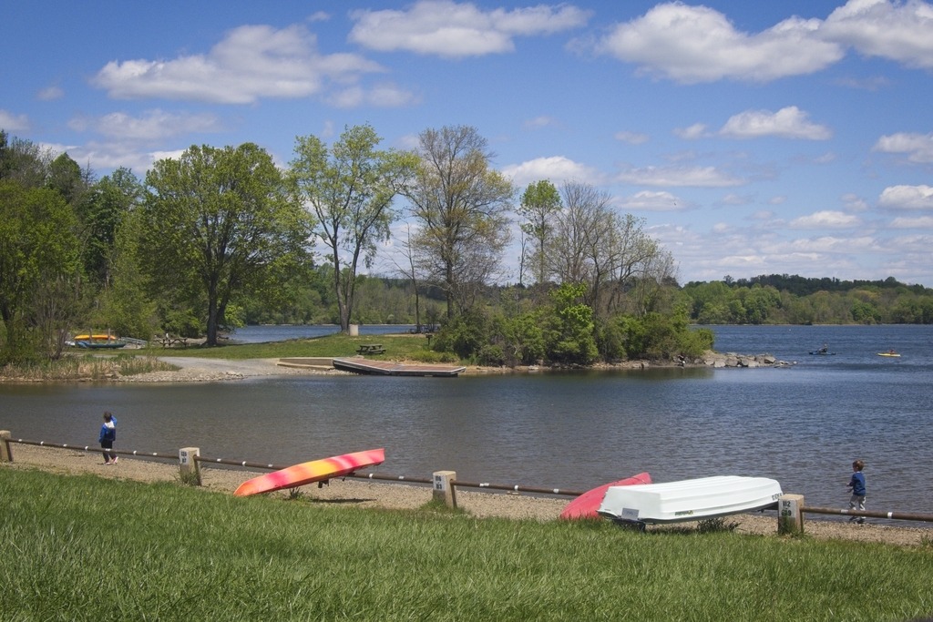
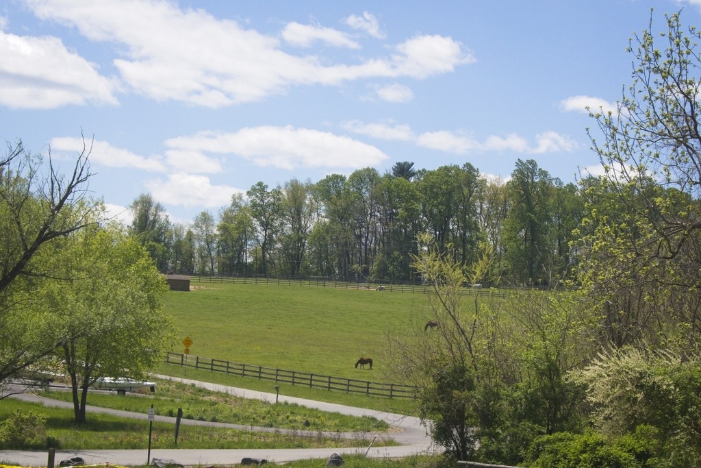
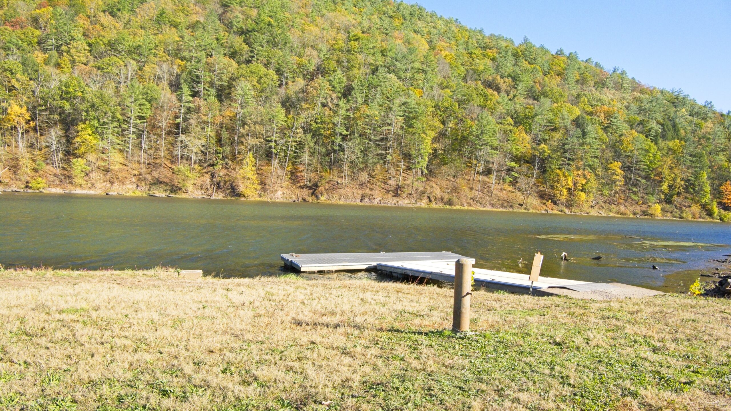
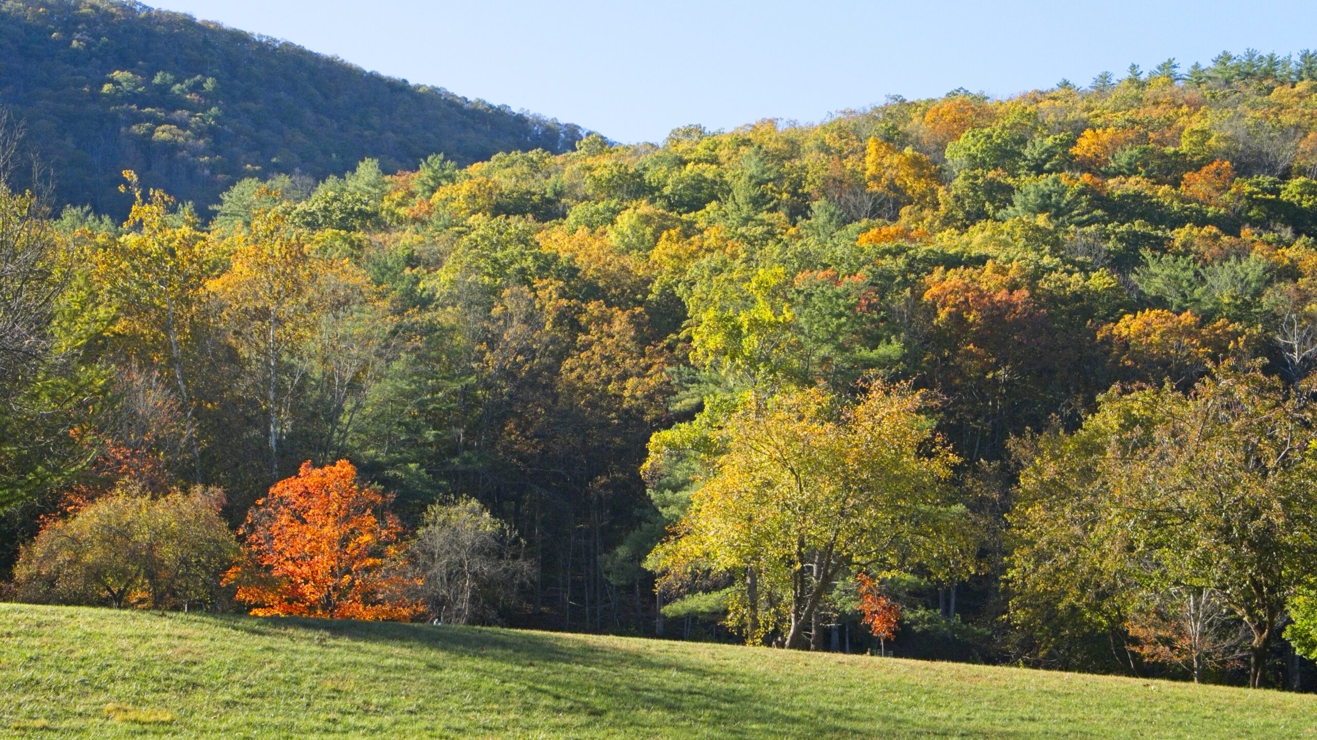
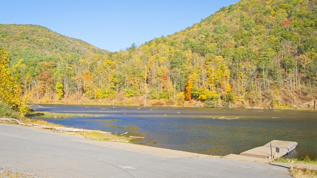
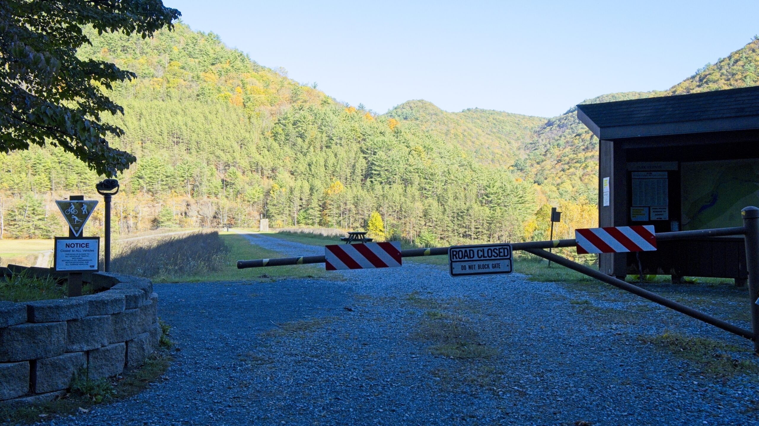
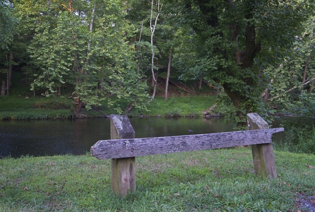
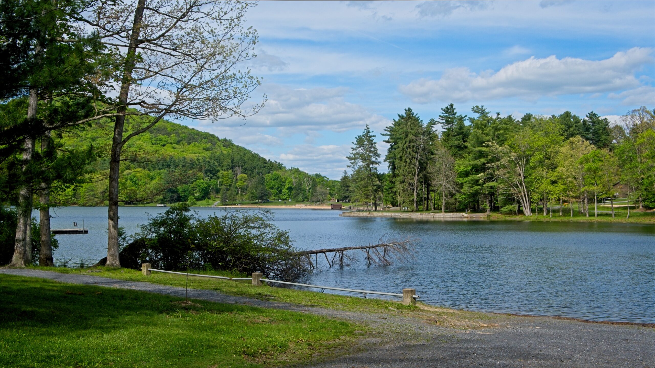
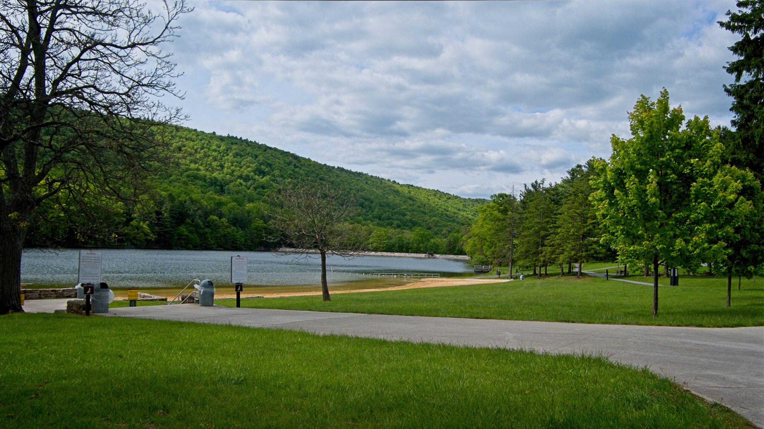
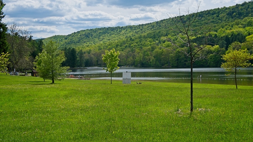
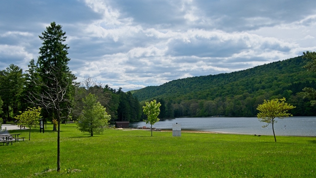
Cowans Gap State Park is a 1,085-acre (439 ha) Pennsylvania state park in Fulton County. The park is largely surrounded by Buchanan State Forest in Allens Valley just off Pennsylvania Route 75 near Fort Loudon. The park is lovely, and although I have visited before, I was happy to be back.
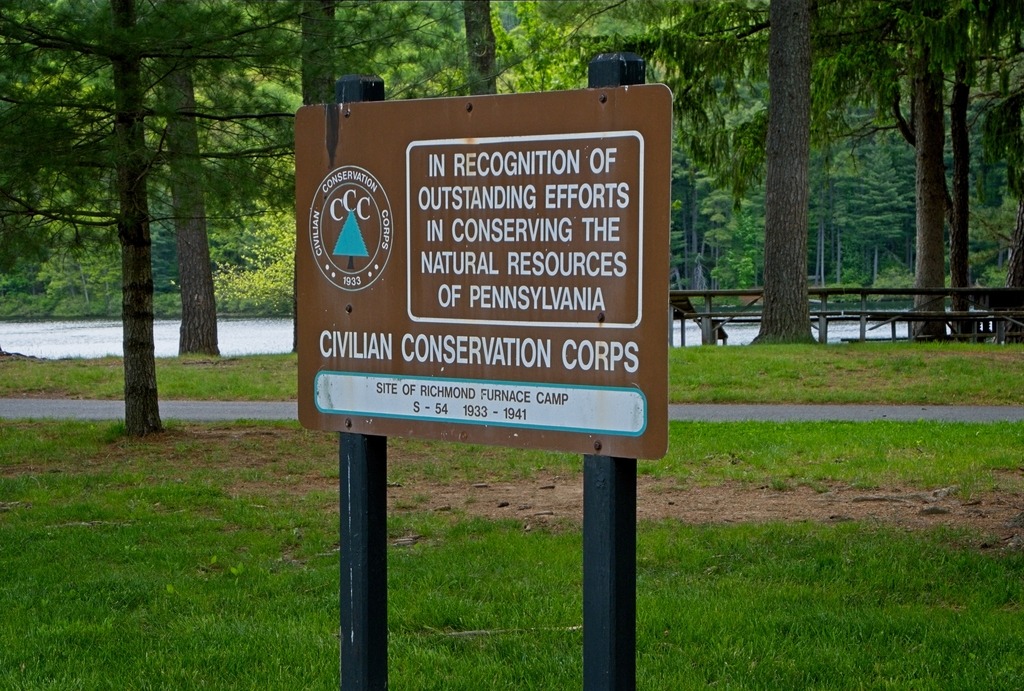
The Civilian Conservation Corps provided work for the unemployed from throughout the United States. A CCC camp, Richmond Furnace Camp PA-SP-54, was built at the site of Cowans Gap State Park. At first the young men lived in tents, but they soon built cabins (which are still in use at the park). The young men of the CCC also planted thousands of acres of new trees, built four bridges, 30 miles (48 km) of state roads, 32 miles (51 km) of fire trails, and 11 miles (18 km) of telephone lines. In addition, the CCC also cleared the forests and streams of brush, built pavilions, and constructed the dam that created Cowans Gap Lake. The park opened to the public in 1937.
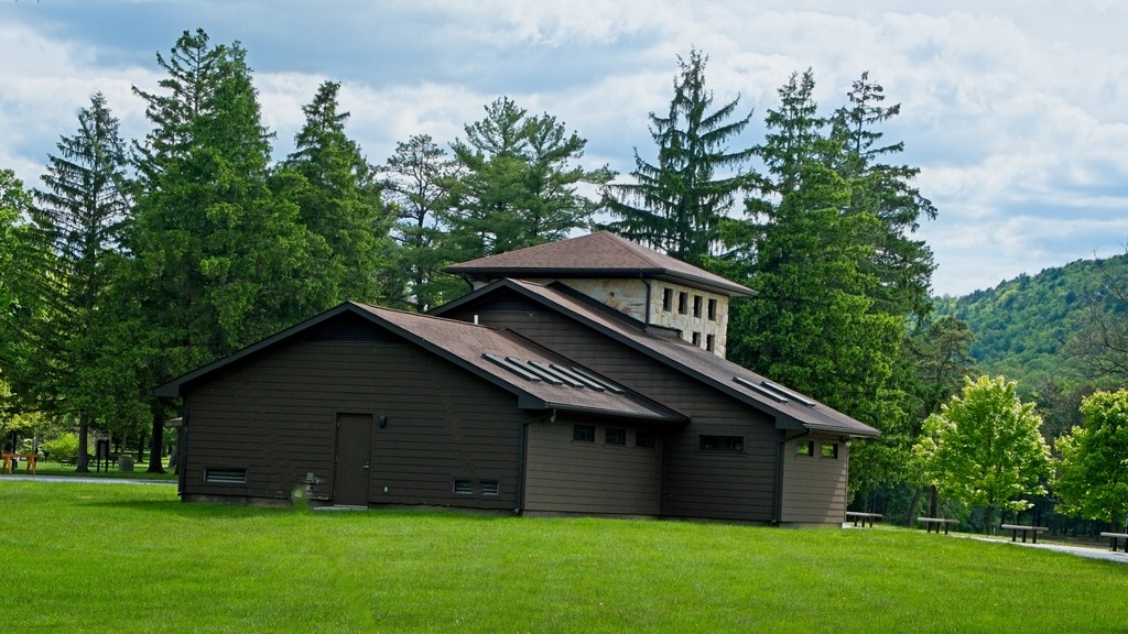
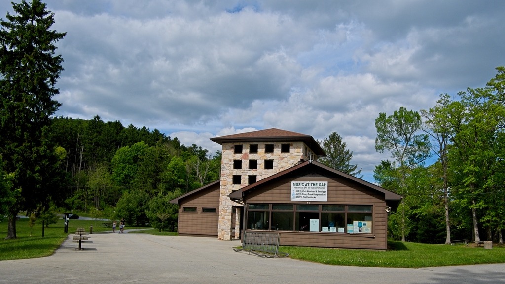
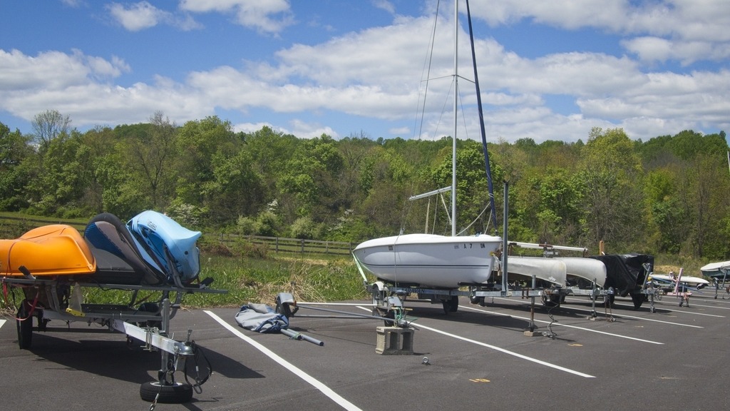
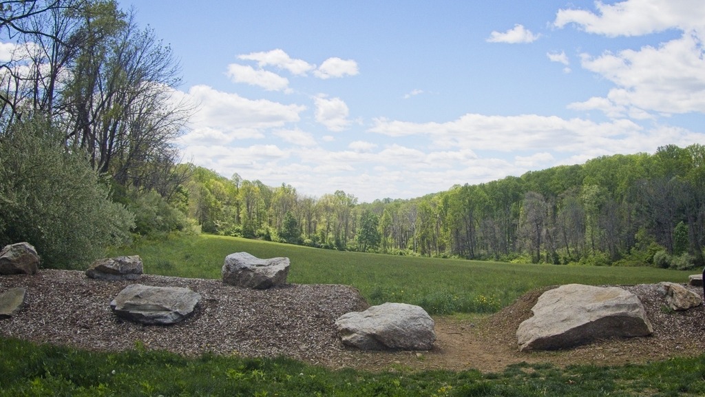
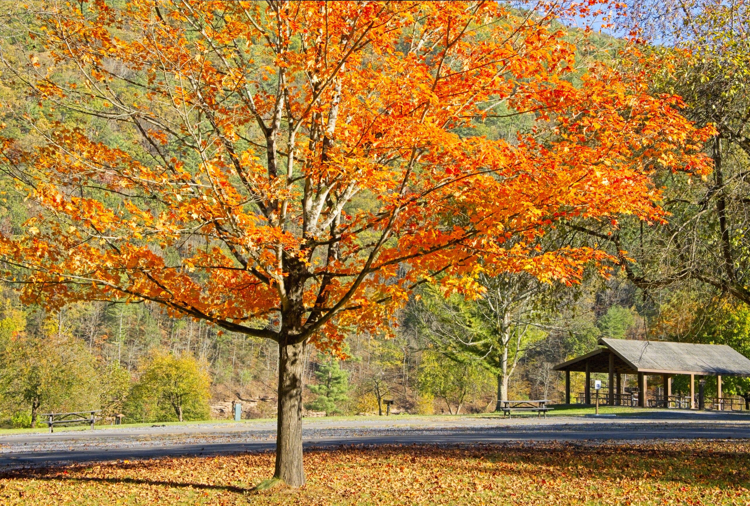
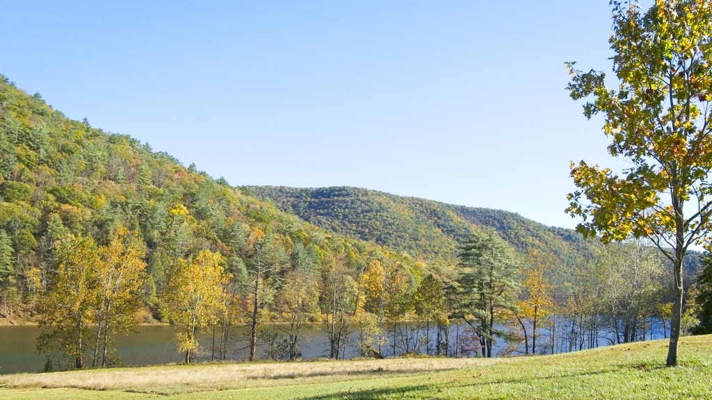
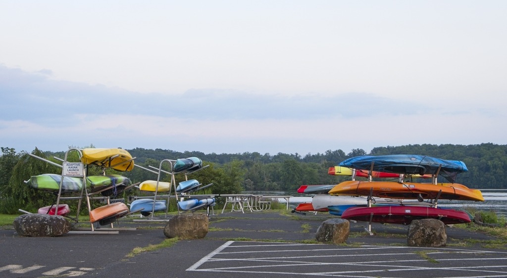
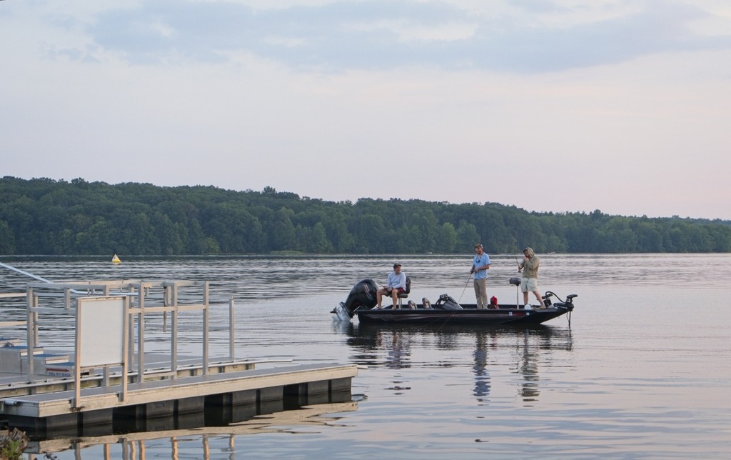
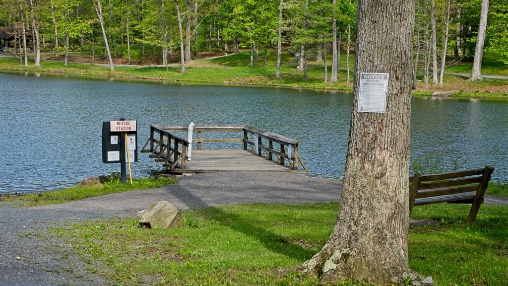
More of the day use area.