My recently untimely absence has been due to a short vacation and an adjustment to a new job situation. After a fairly mild winter, Spring is making an appearance here in eastern Chester County.


My recently untimely absence has been due to a short vacation and an adjustment to a new job situation. After a fairly mild winter, Spring is making an appearance here in eastern Chester County.


The presence of a snowy owl in the area causes great excitement. Even the local news take notice. A bird in eastern Lancaster County recently created the expected onslaught of birders. I set out one Saturday to have a look as well. Note to self: don’t go looking for an owl without your “good” camera.
The bird was close to the road but not in front of the most photogenic backdrop. The online consensus is that it is a “she,” but I’m not sure how you tell juveniles from females.


I will be taking a break for a couple weeks to celebrate Christmas and my birthday. Here is a look back at some Christmas pasts.


Here is a look at some of the Christmas season scenes around my neck of the woods.


Historic Sugartown in Chester County has been featured on my blog before if you would like more information about this location. They usually do seasonal decorations. This Christmas did not disappoint.
.


The Autumn color seemed to arrive late this year, even extending well into November in the southern tier of Pennsylvania. Valley Forge National Historical Park was still wearing its Autumn color when I visited. The Park had recently cut back some its extensive meadows. Valley Forge has one of the most extensive meadow habitats along the Northeast Corridor. In additional to occasional mowing, the Park also uses prescribed burns to rejuvenate the habitat from time to time. Let’s let Christmas wait a few more weeks.


Big Mountain Overlook, a short distance from the historic Lincoln Highway (US Route 30), is on the border of Franklin and Fulton Counties in Buchanan State Forest. On the ridge of Tuscarora Mountain near its summit, there are breathtaking views of the surrounding ridges to the east, and western views as you head up to the overlook. The overlook is at an elevation of 2458 feet. The lowest points in Path Valley are around 700 feet in elevation, giving views of roughly 1700 feet down into the valley, making this one of the biggest, if not the biggest, elevation differences between a summit overlook and the valley below within the state. On clear days, you can see about 100 miles out to Maryland, West Virginia, and Northern Virginia since this is gives a view beyond the end of the next ridges. The 252 mile long Tuscarora Trail, a spur route off of the Appalachian Trail, goes along the ridge.
I believe the outcropping provides a better view, but I had difficulty finding it when I visited, as it is not well marked.


On my travels, I came across some interesting barns in the nearby valleys. The first, and another like it not pictured here, is a brick construction with some beautiful detailing. I don’t remember coming barns like this in other parts of the state that I have visited.


Cowans Gap State Park is a 1,085-acre park in the beautiful Allens Valley of Fulton County. A 42-acre lake, large campground, rustic cabins, and many hiking trails are prime attractions. The Buchanan State Forest surrounds the park, providing additional options for recreation and natural beauty in all seasons. The park features a full range of other activities such a fishing, boating, hunting, picnicking and swimming.
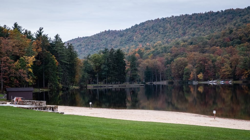
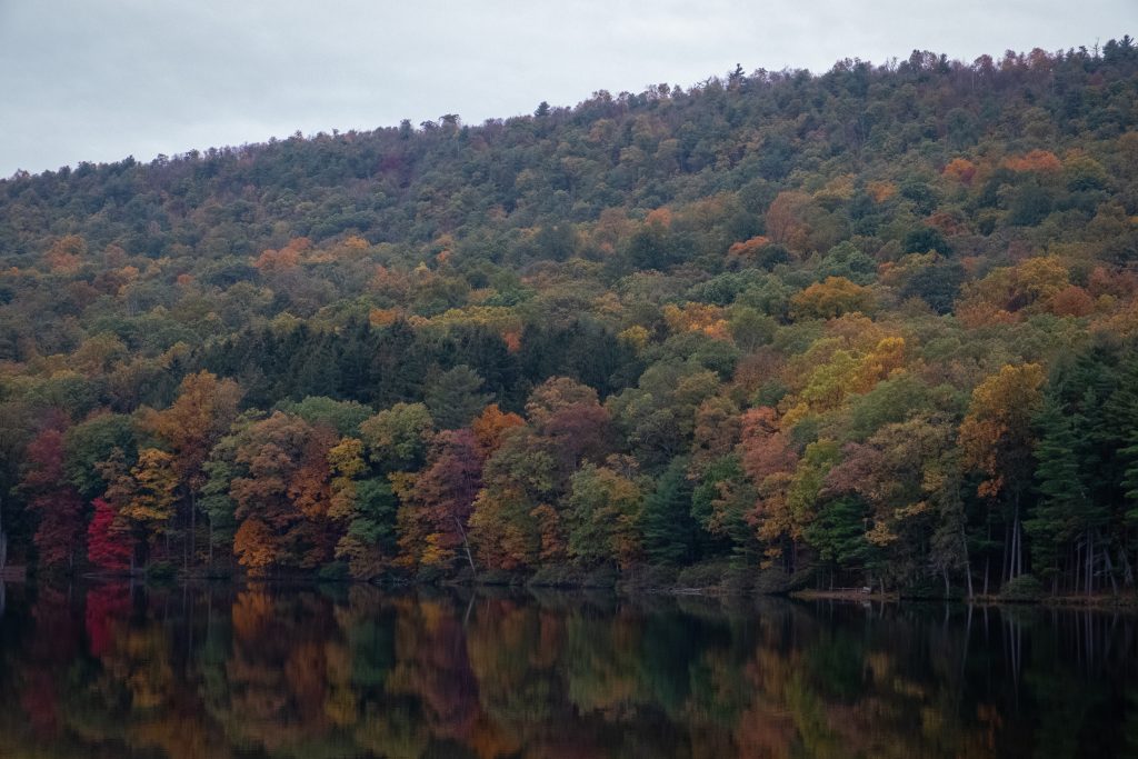
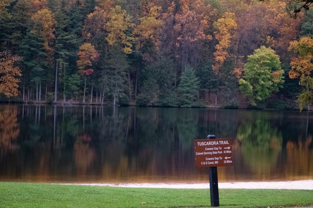

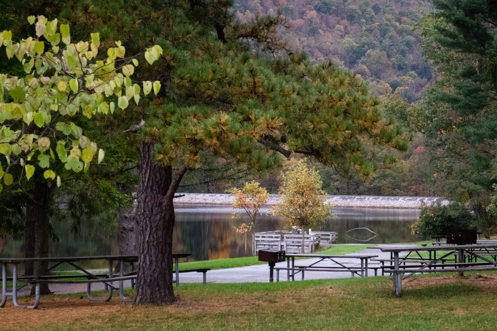
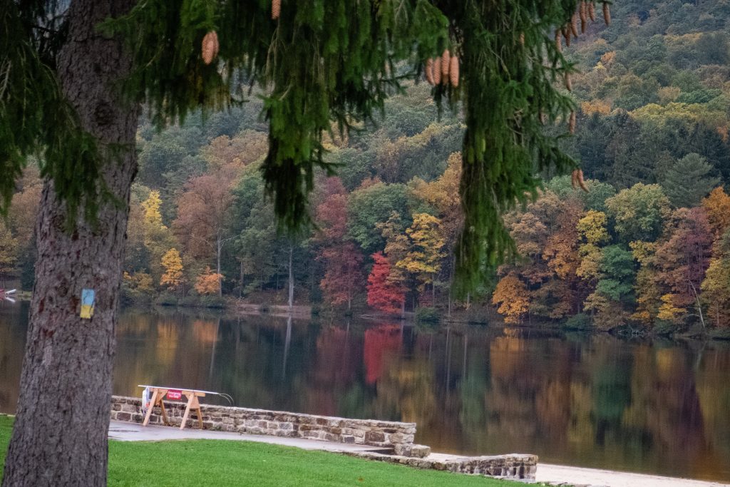
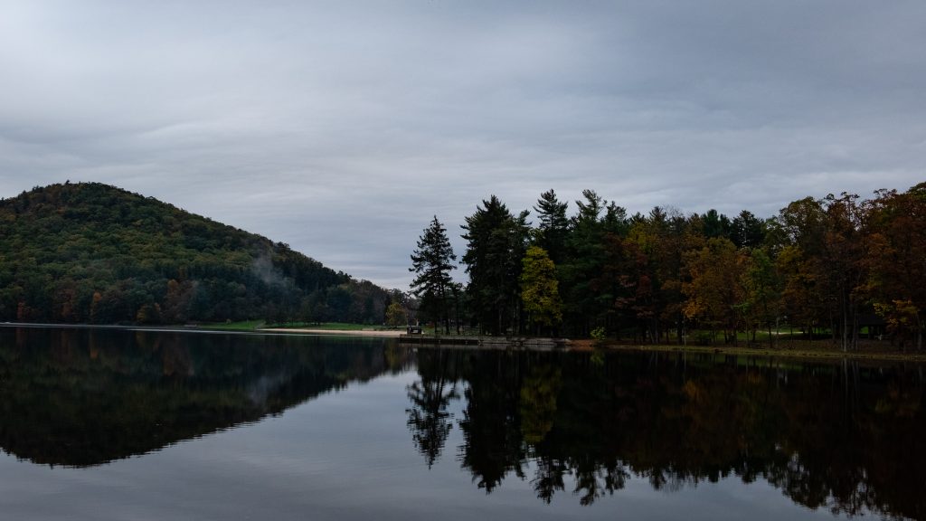
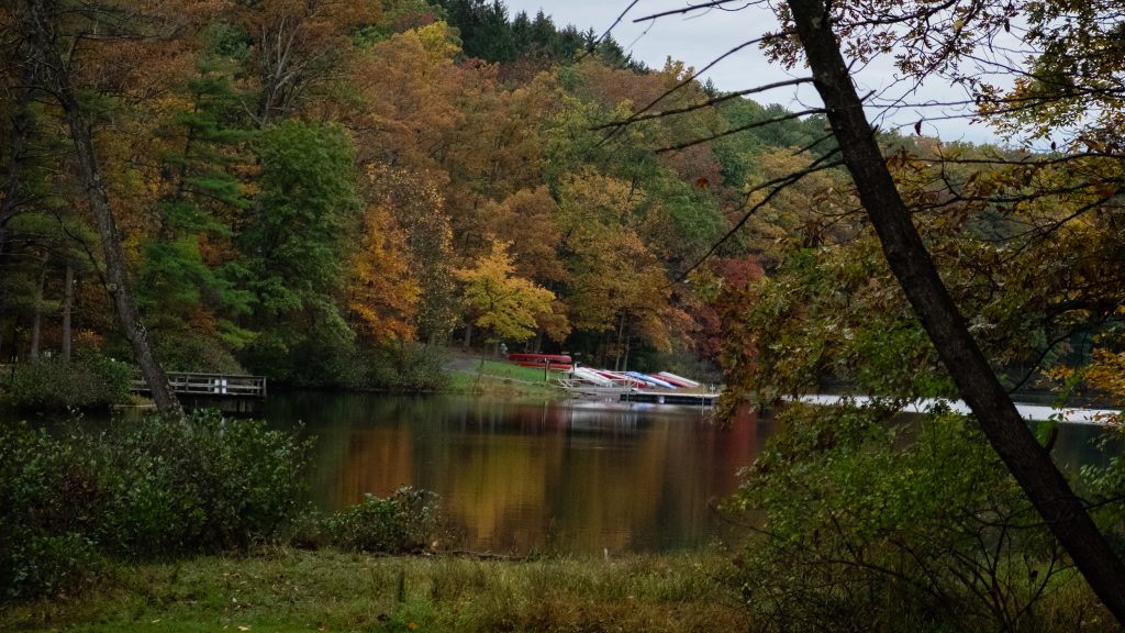
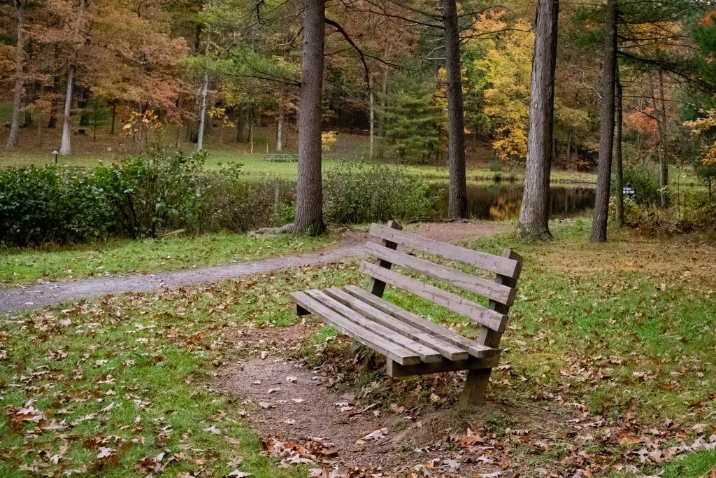
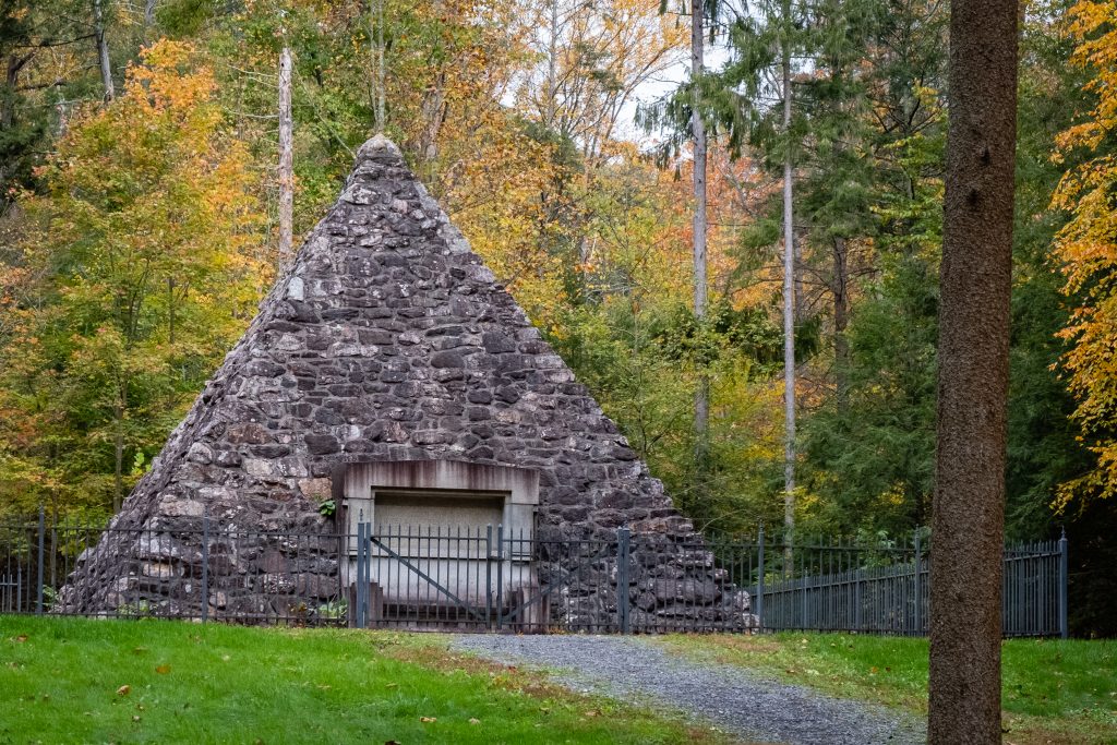
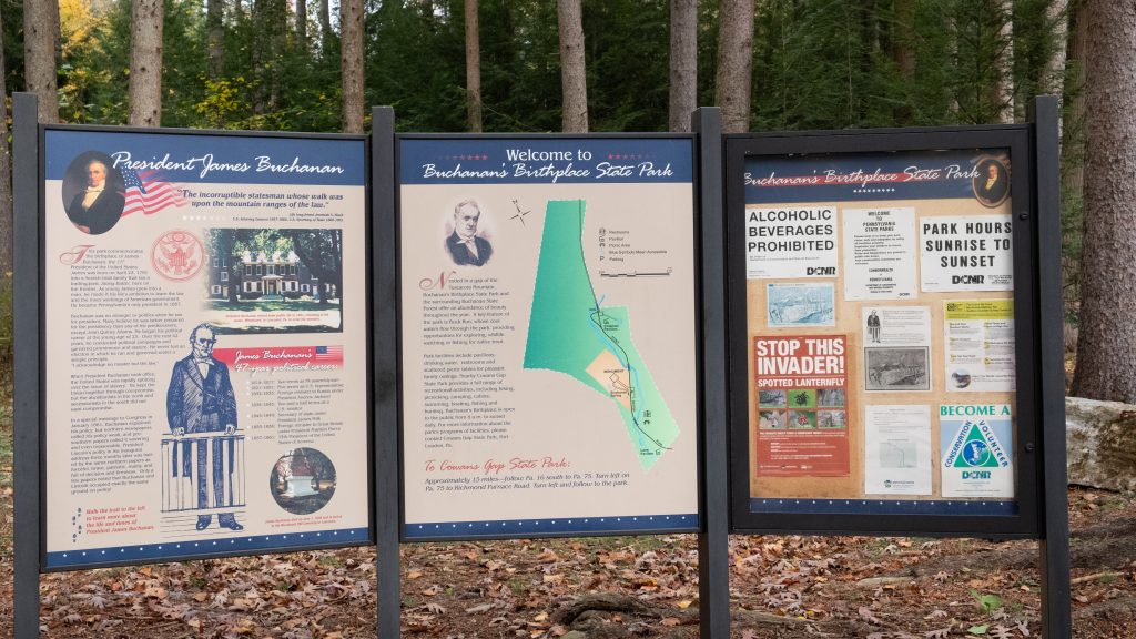
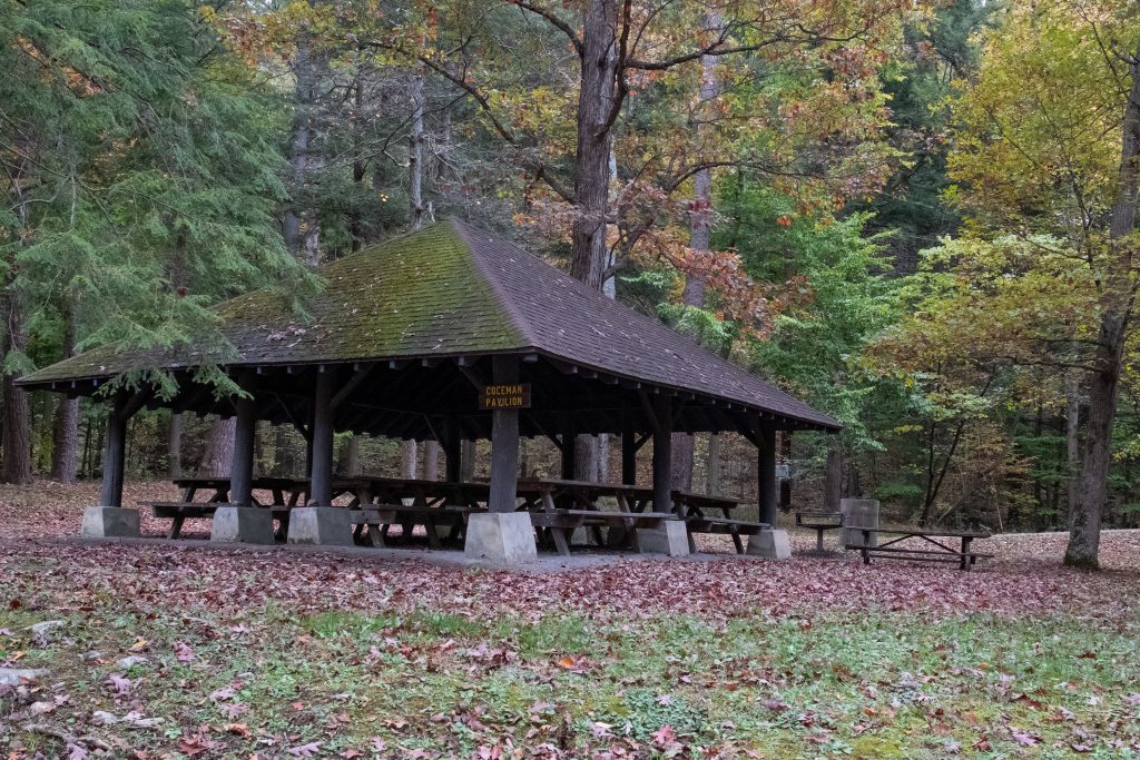
Buchanan’s Birthplace State Park is an 18.5-acre park nestled in a gap of Tuscarora Mountain in Franklin County. The park and the surrounding forested mountains offer an abundance of beauty throughout the year. In addition to President Buchanan’s memorial, there are picnic pavilions and picnic tables. Buck Run flows through the park and hosts a population of native trout.
James Buchanan Jr. was a lawyer and politician who served as the 15th president of the United States from 1857 to 1861. He previously served as secretary of state from 1845 to 1849 and represented Pennsylvania in both houses of the U.S. Congress.
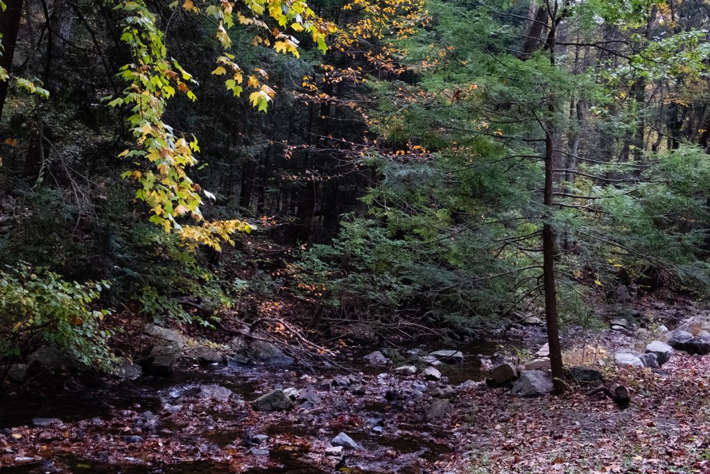
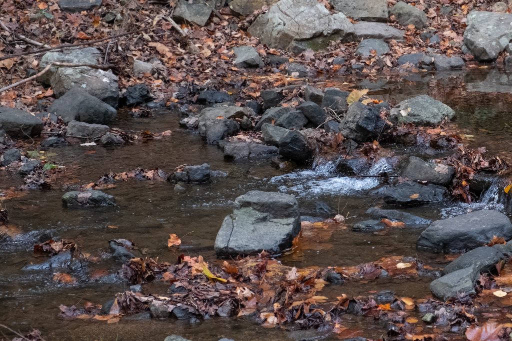
Adams County is home to four covered bridges. A visit to the bridges provides a focus for a drive outside Gettysburg for visitors to the area. As usual, covered bridges look best to me in Autumn.
The first up the Anderson Farm Covered Bridge. The builder of this bridge is unknown, the length is 79 ft., and the width is 14 ft. The bridge appears to be in very good shape and closed to all traffic. The bridge is used for storage by the present owners of the property This structure originally spanned Mud creek. It was moved to the point where it is today by a farmer named Anderson.

Heikes Covered Bridge is located approximately 2.5 miles north of Heidlersburg, between Tyrone and Huntington Township. The structure was built in 1892 and uses the Burr truss, and the builder is unknown. The bridge crosses Bermudian Creek and is 67 ft. long and 14 ft. wide. The bridge is not open to any traffic and is located on private land.

Jack’s Mountain Bridge is located on State Route 3021, Jack’s Mountain Rd., approximately 1.5 miles south west of Fairfield in Hamiltonban Township. The bridge was built in 1890 by Joseph Smith using the Burr truss. The structure is 75 ft. long and 14 ft. wide and crosses Tom’s Creek. The state owns this bridge, and it is open to all traffic. This is the only bridge in Adams County that is opened to vehicular traffic. The bridge has a red light at each end to control the traffic flow on this one lane structure.

Finally, the Sachs Covered Bridge is very near Gettysburg National Military Park. It is located on Twp. Route 405, Pumping Station Road, in Freedom Township, just south of State Route 305 and west of the Eisenhauer National Historic site and and Gettysburg National Military Park. The bridge was built in 1854 by David Spooner using the Town truss and and utilizing one span. The structure is 100 ft. long and 15 ft. wide, and it is only open to foot traffic. The bridge crosses Marsh Creek and is owned by Gettysburg Battlefield Preservation Association.
The bridge was known as Sauck’s during the Civil War, it was built using oak and pine. The bridge was repaired in 1997 after heavy rains washed the bridge from it’s foundation and carried it approximately one hundred yards downstream.
On July 3rd and 4th, 1863 , the bridge was used by a portion of the Confederate army, in retreat out of Gettysburg, but is said to have been used by both armies during the time of the Gettysburg conflict. Robert E. Lee had split his army into 2 sections, with one headed to Northwest toward Cashtown, while the other crossed Sauck’s Bridge and headed Southwest. The bridge is known to have been the site of a triple hanging at one end, and in close proximity to a crude post battle field hospital, the Sauck’s Covered Bridge is a favorite of ghost hunters.


A bonus location is the historic Round Barn and Farmer’s Market on Cashtown Road, which I have featured on this blog before. While at the market, I picked up some delicious apple cider, cider donuts, and fresh apples. The market features many kinds of apples which are difficult to find.


Latest Posts
Search
Feels like: 50°F
Wind: 9mph WSW
Humidity: 49%
Pressure: 29.87"Hg
UV index: 0