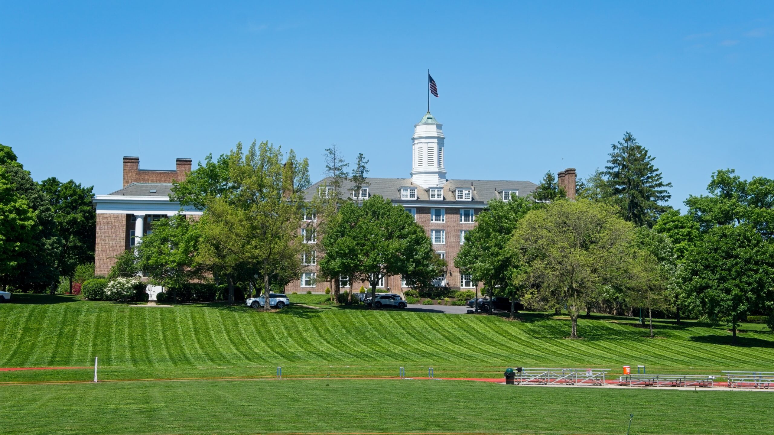
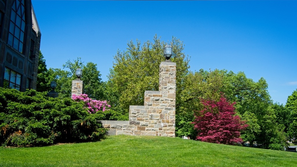
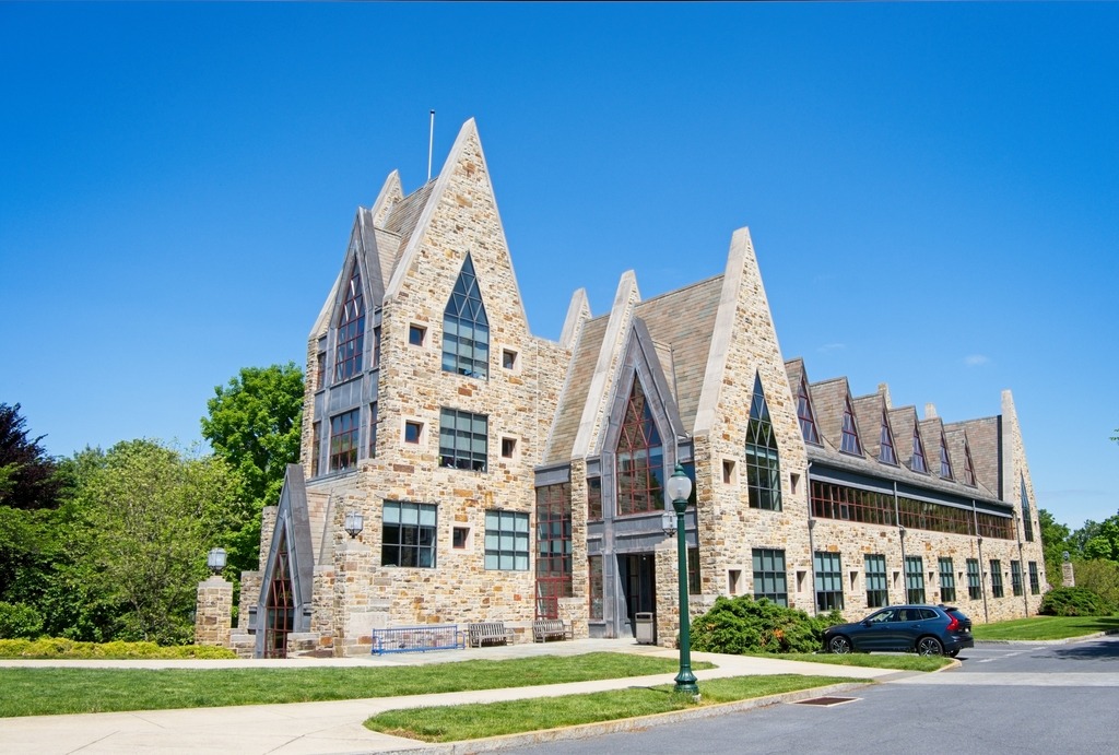
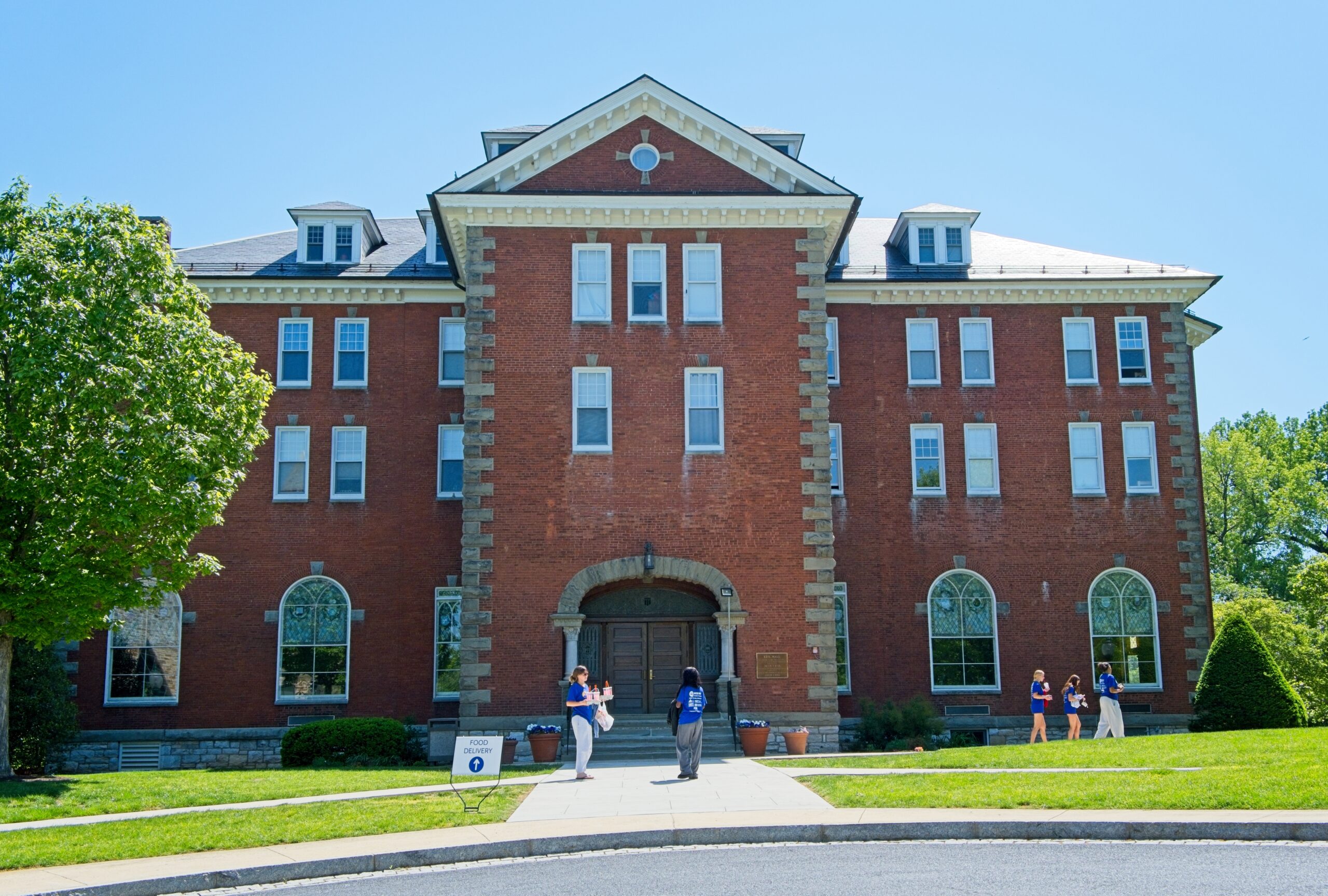
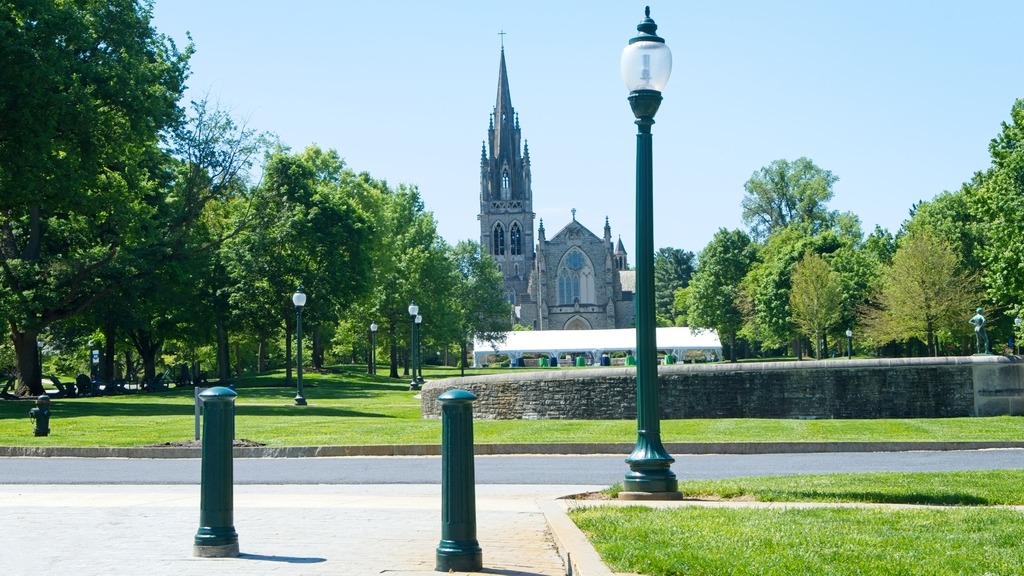
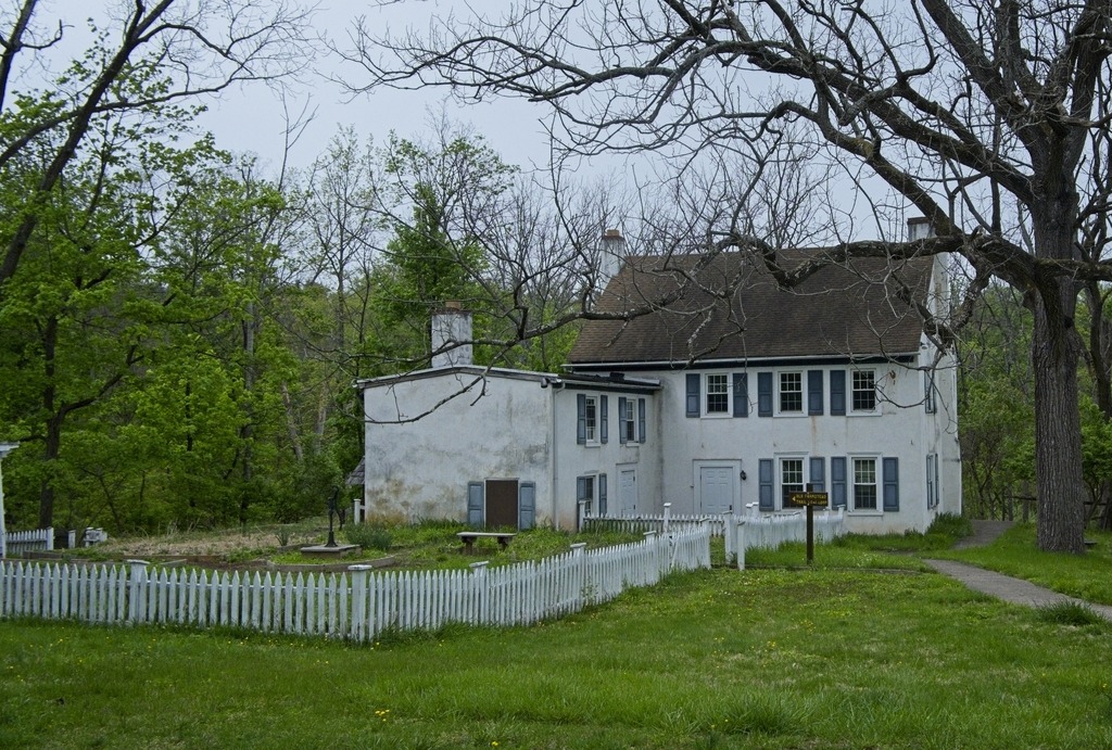
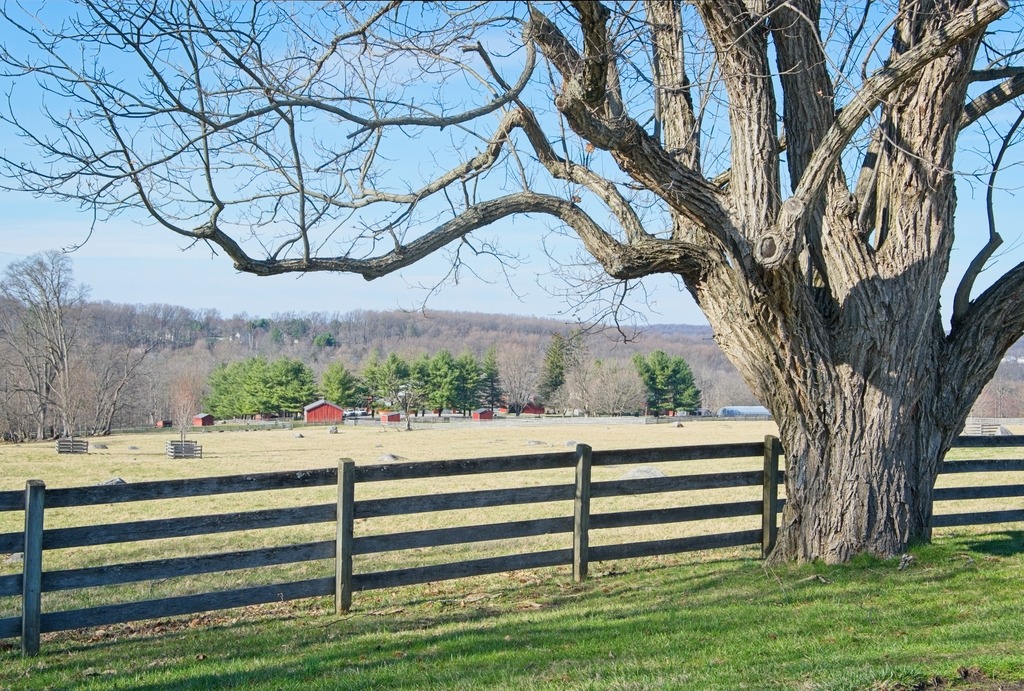
Mercersburg Academy (formerly Marshall College and Mercersburg College) is an independent college-preparatory boarding and day high school. Founded in 1893, the school enrolls approximately 447 students in grades 9 through 12, including postgraduates. Among its illustrious alumni are James Stewart anb Benicio del Toro. It has a lovely and impressive campus.
Mercersburg is a borough in Franklin County that is 72 miles (116 km) southwest of Harrisburg. As of the 2020 census, Mercersburg had a population of 1,507. The land currently known as Mercersburg was previously territory of the Massawomeck people who were part of the Iroquois Nation.
Due to its location in a rural area, it had a relatively large percentage of African-American workers who had been enslaved from the Revolution. It was called “Black Town” in the early 19th century before incorporation under its current name. Refugee African Americans escaping from slavery in the South also settled here, and the area was known as “Little Africa”.
Mercersburg was platted in 1780. The borough was named after Hugh Mercer, a general and hero in the American Revolutionary War. A post office has been in operation at Mercersburg since 1812.
Located near the southern border of Pennsylvania, the rural community became a place of refuge during the antebellum years for escaped African Americans who had been enslaved in the South. Some came to the area via the Underground Railroad. After the American Revolution, Pennsylvania had abolished slavery. In this area were communities of free African Americans who had worked in agriculture. It was relatively easy for refugees to join their communities after passing over the border of Maryland. In later years, black people moved away from here as they were at risk from slavecatchers, especially after passage of the Fugitive Slave Act in 1850, which had more stringent rules against free states. Many African Americans moved to Philadelphia, which had a large and free black community, which helped new arrivals get settled.
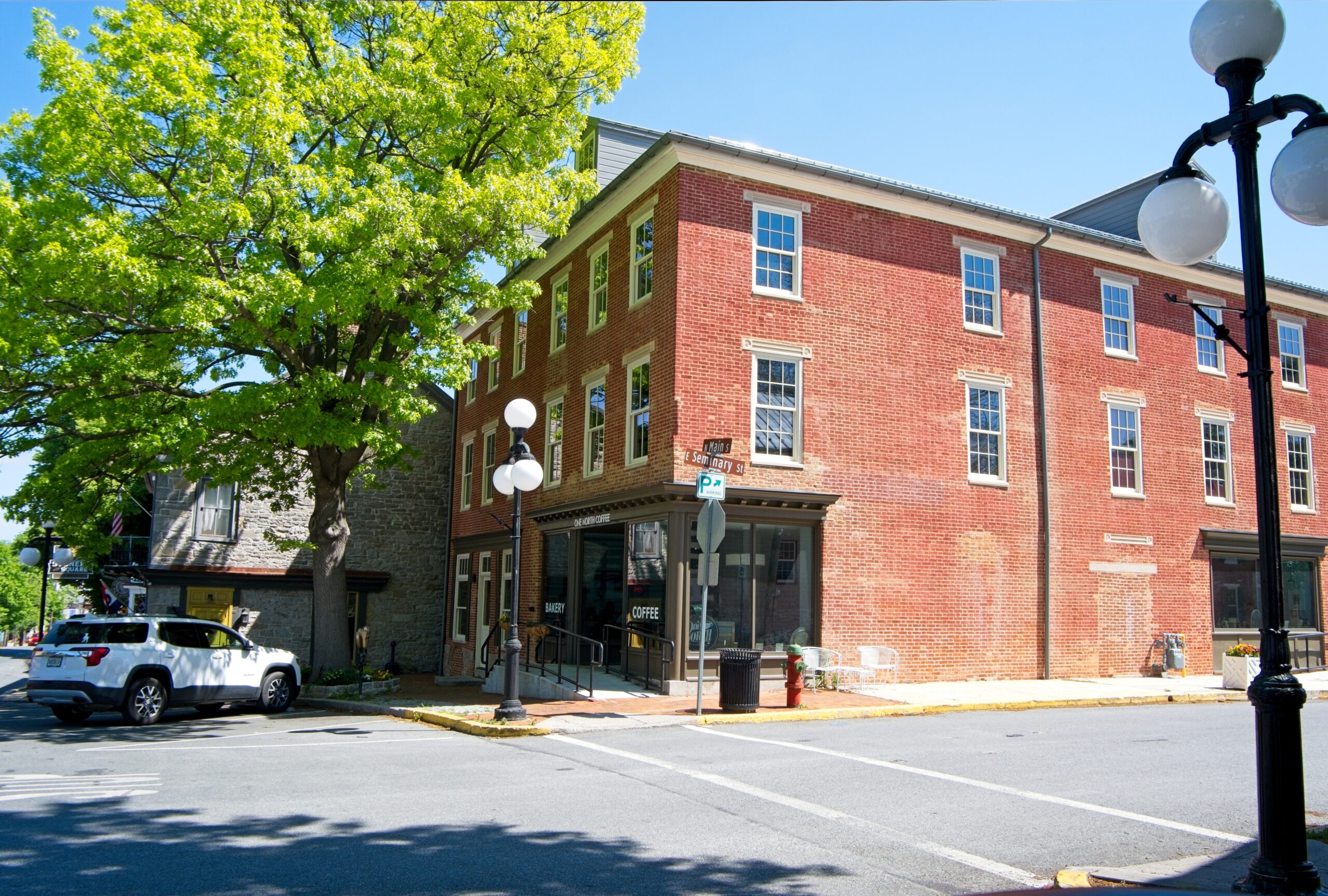
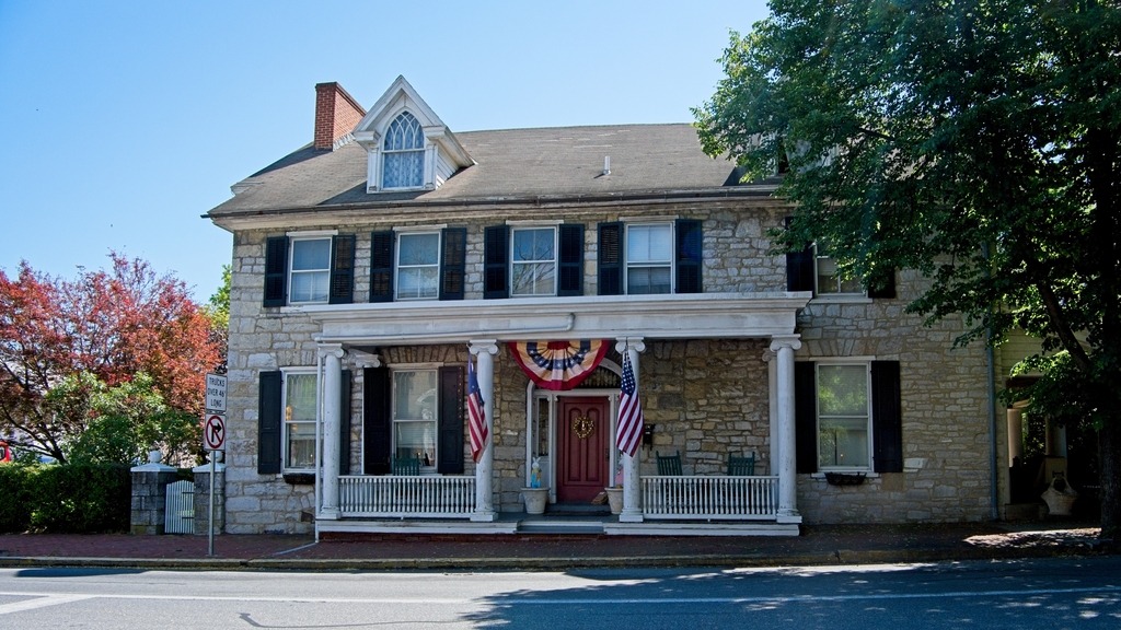
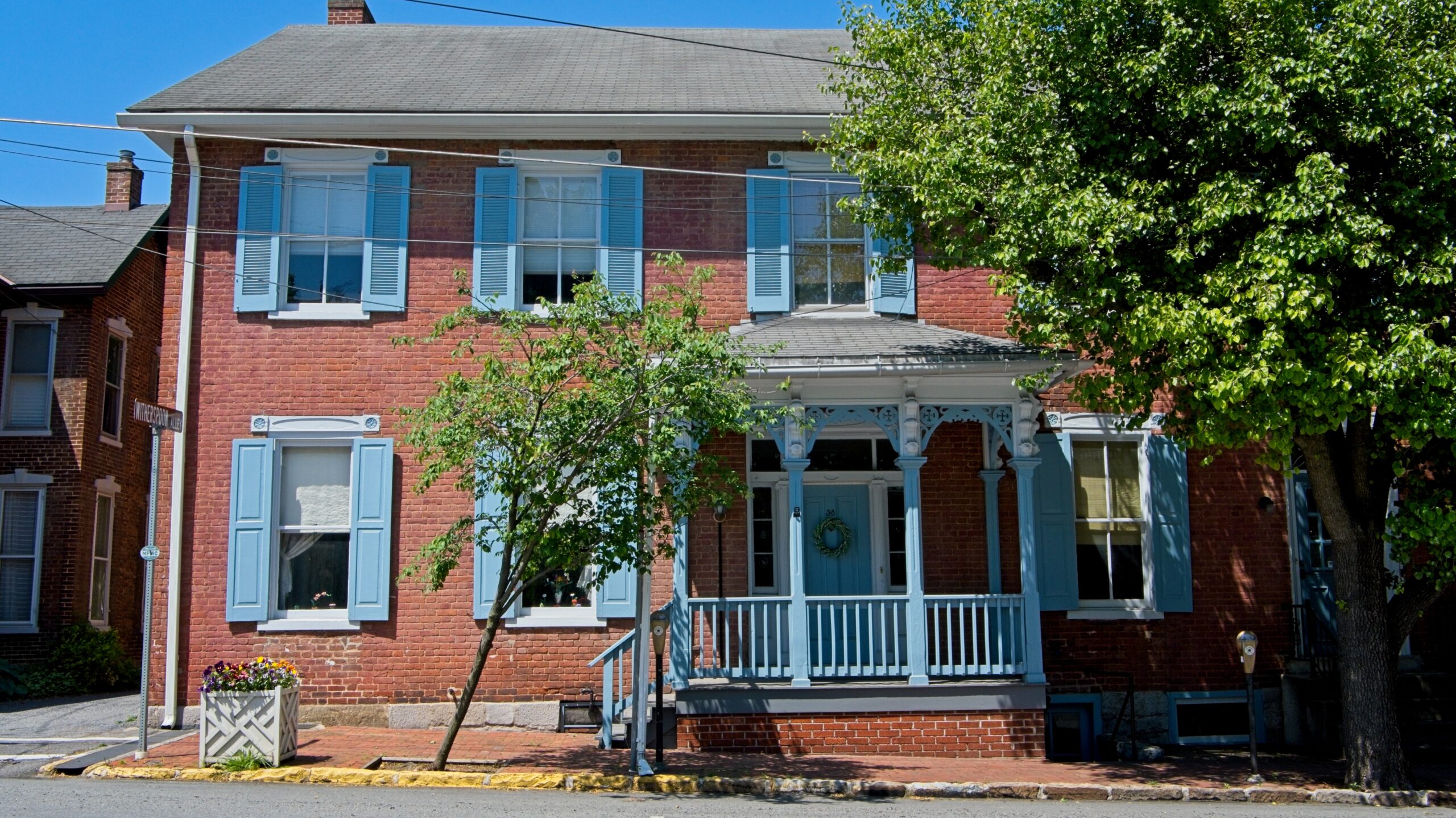
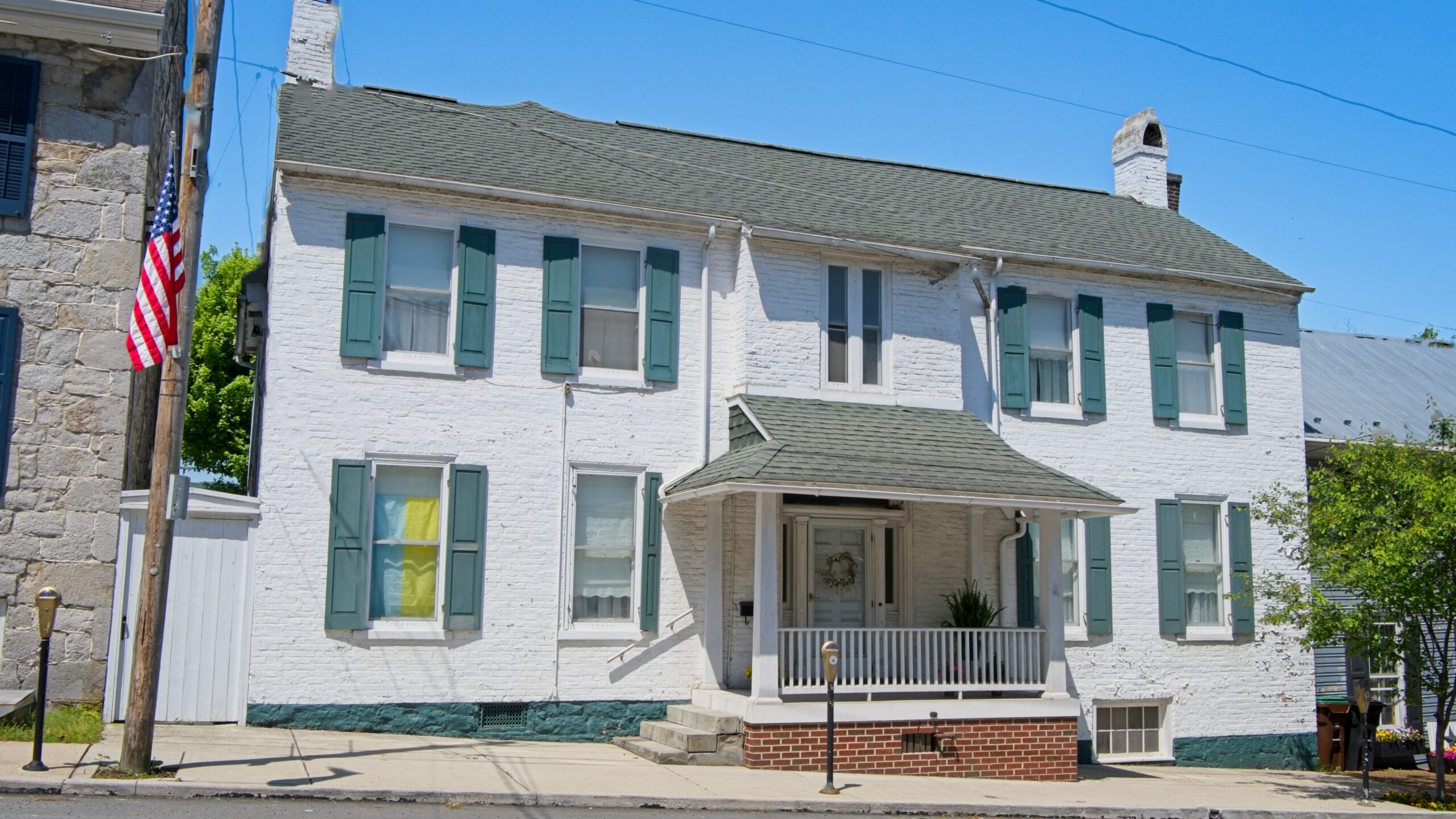
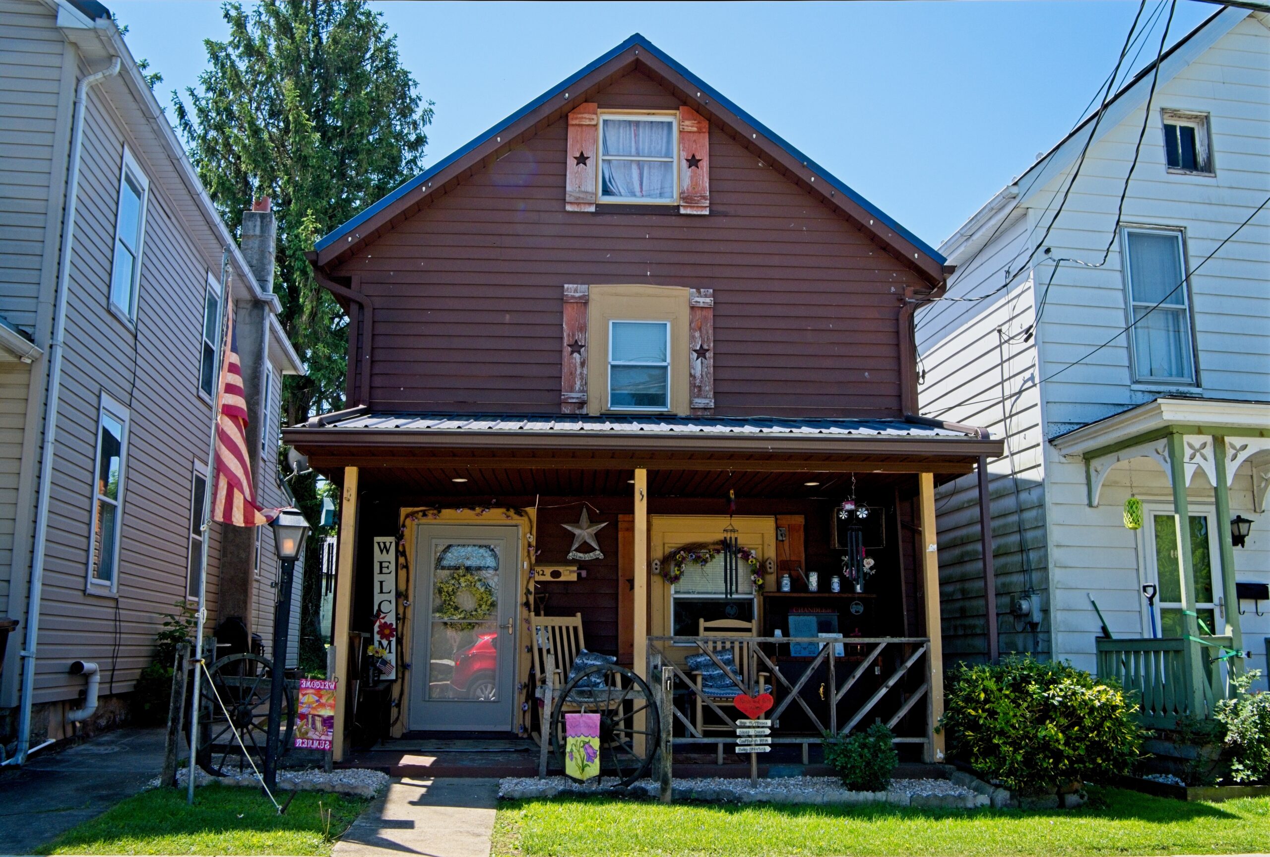
The Mercersburg Historic District, Lane House, and Mercersburg Academy are listed on the National Register of Historic Places.
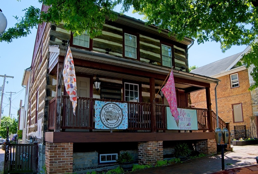
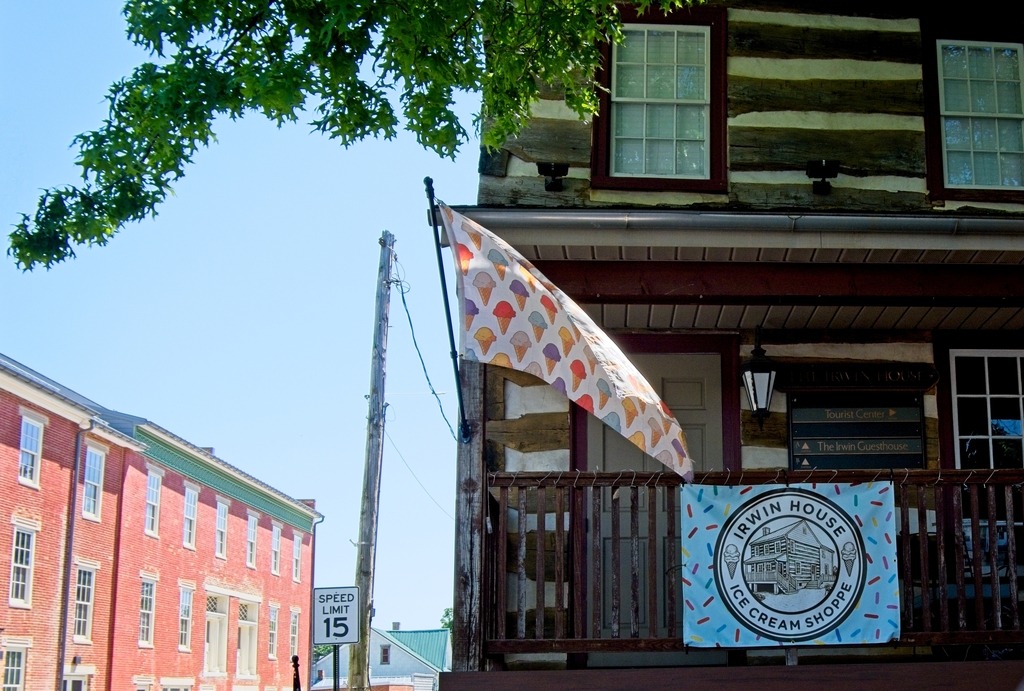
The Irwin House
On September 26, 2003, this corner property was destroyed by fire exposing this log house built in 1791-1792 by Archibald Irwin. Irwin’s granddaughter Jane married William Henry Harrison, Jr., and served as First Lady when her father-in-law, William Henry Harrison, Sr., was elected 9th President of the United States. Irwin’s granddaughter Elizabeth married John Scott Harrison and became the mother of Benjamin Harrison, who served as 23rd President of the United States.
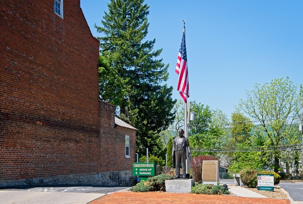
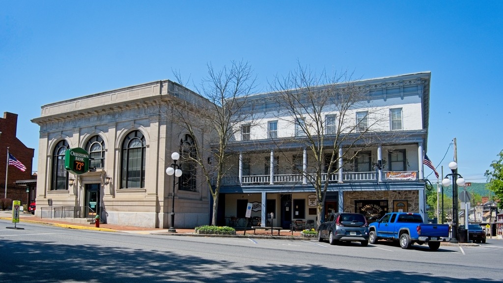
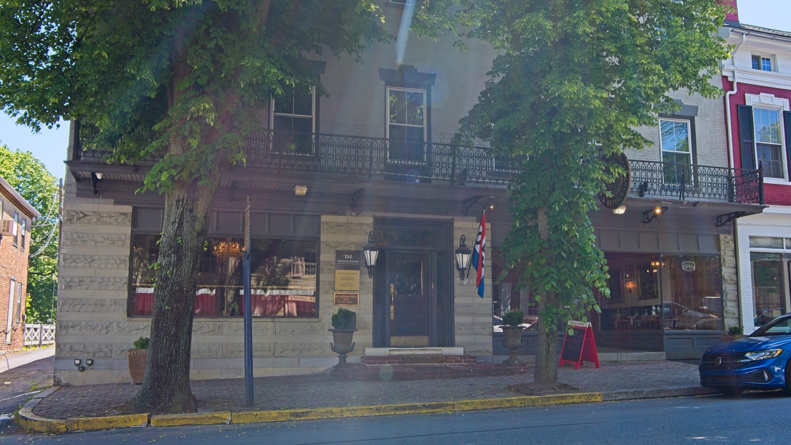
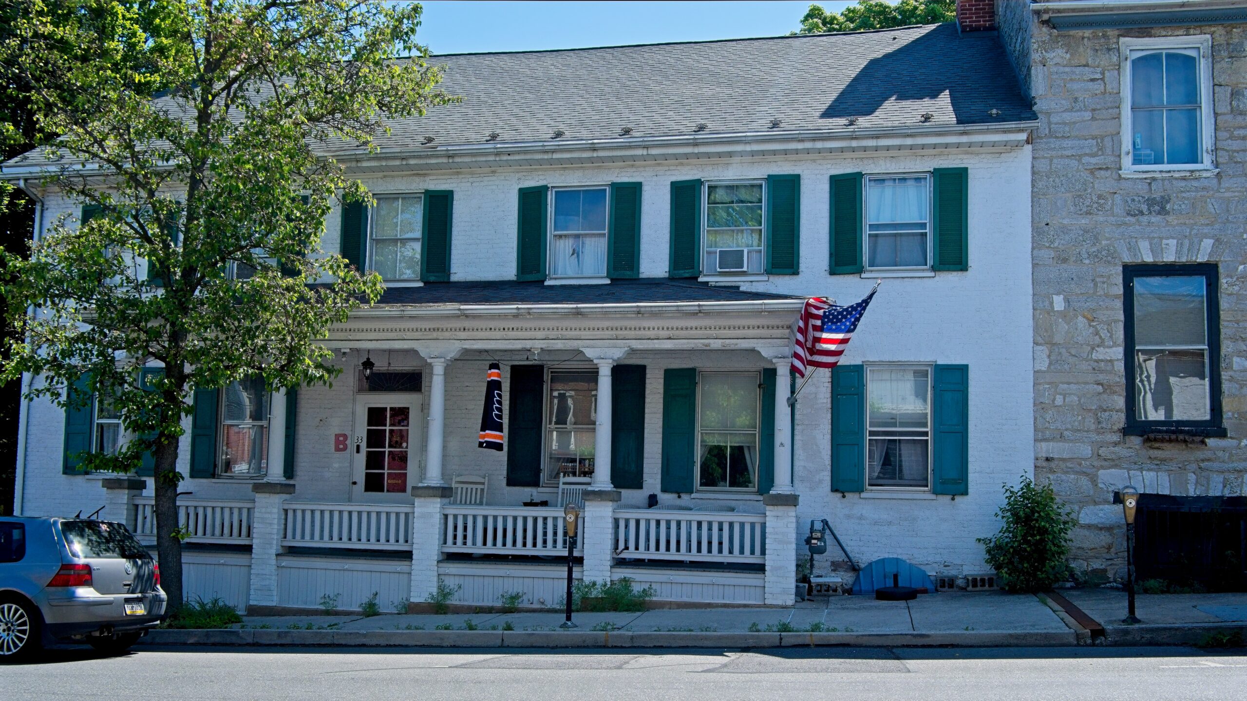
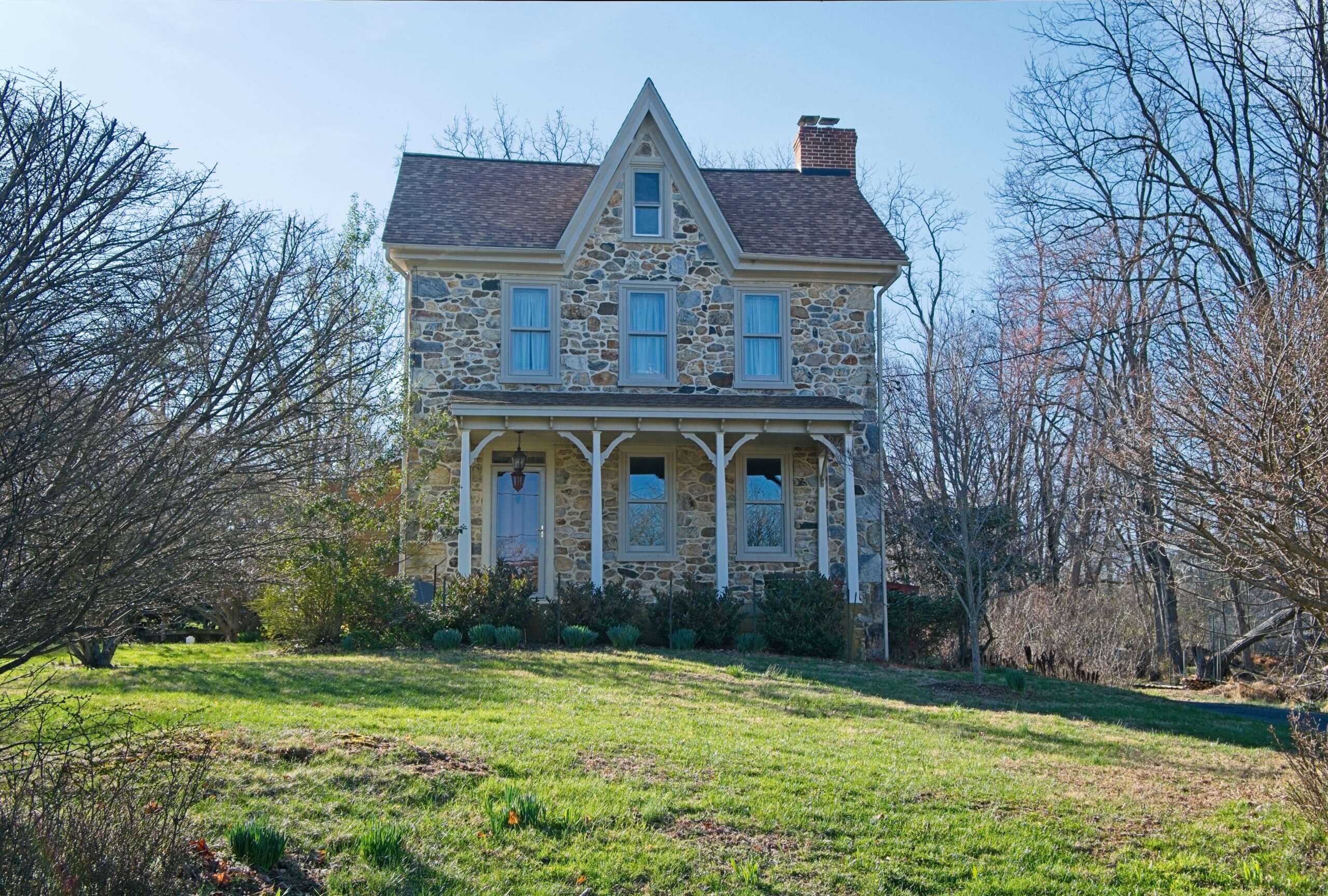
The statue if James Buchanan.Stoner’s Mansion HouseMany beautiful older properties around town.
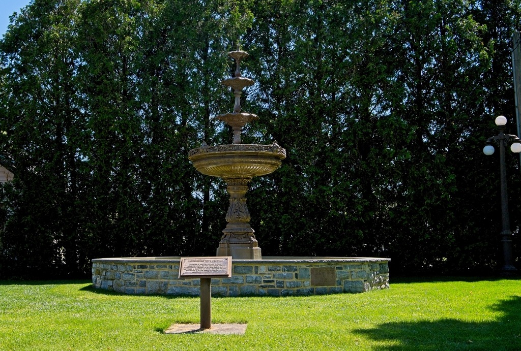
The Mercersburg Fountain is a beloved historical icon, originally placed in Center Square (The Diamond) in 1916. In 1915, the Woman’s Club of Mercersburg (now the Women’s Club) successfully raised money to install a fountain instead of a grass plot. The fountain stood in the Square until it was removed in 1959. After being lost for decades, it was purchased from an antique collector in 1991, restored, and rededicated to the Borough in 1994, finding a new home on North Fayette Street.
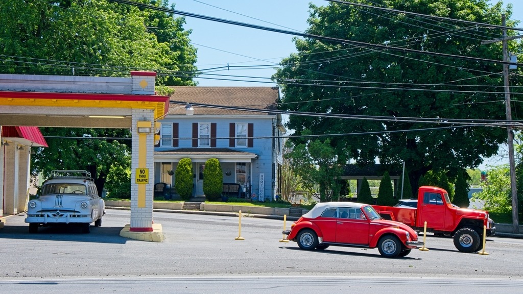
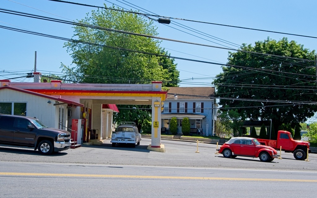
Probably the most interesting used car dealer I’ve ever seen.
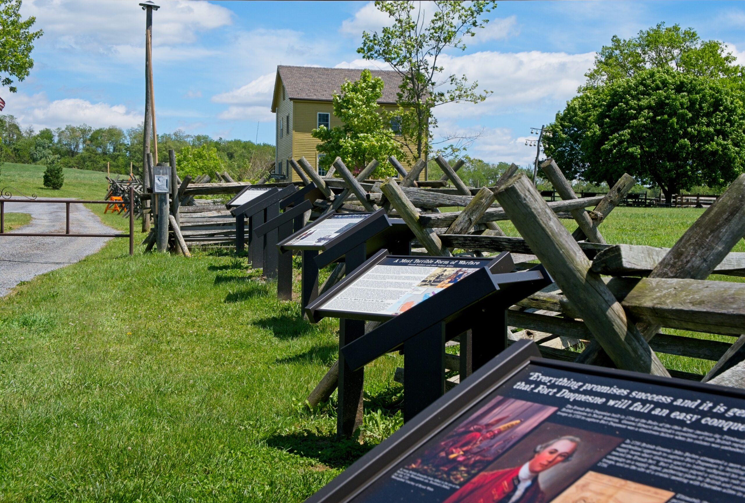
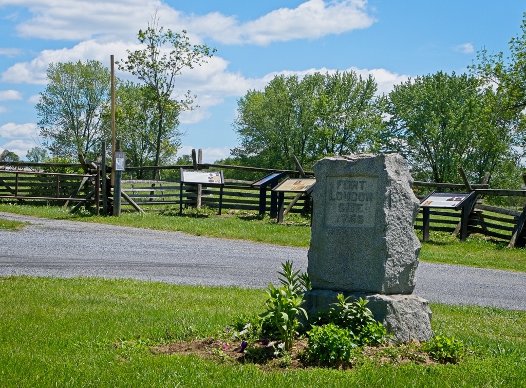
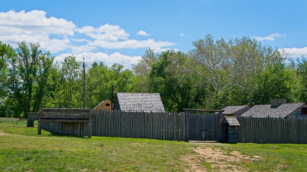
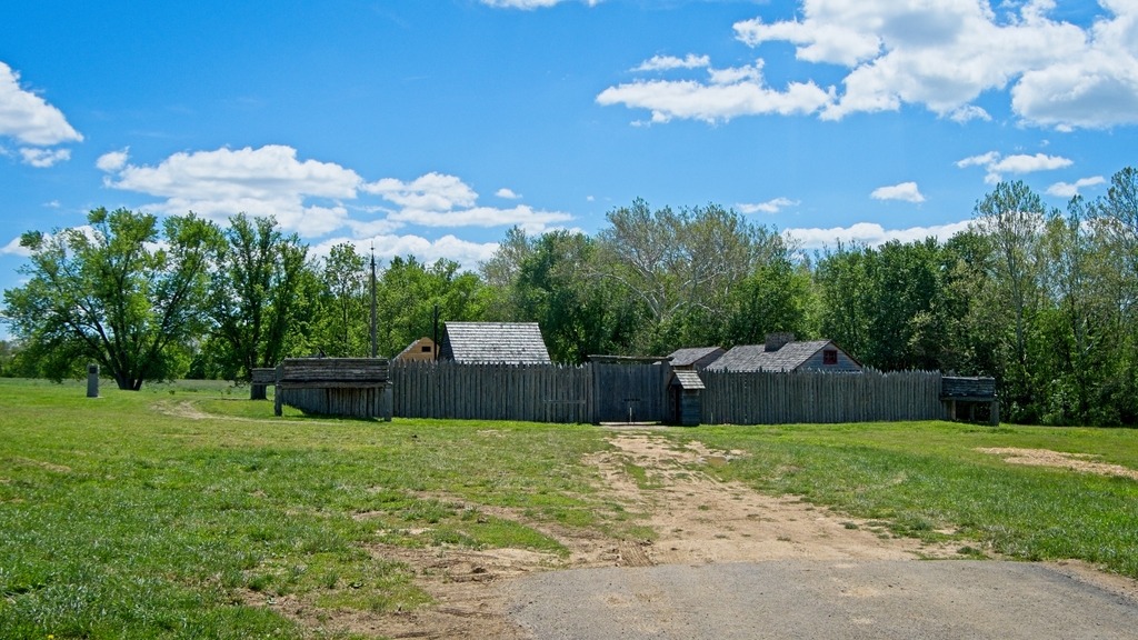
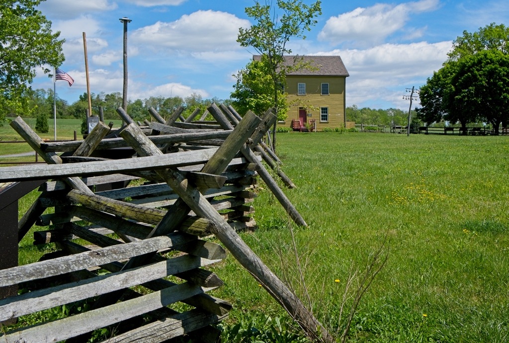
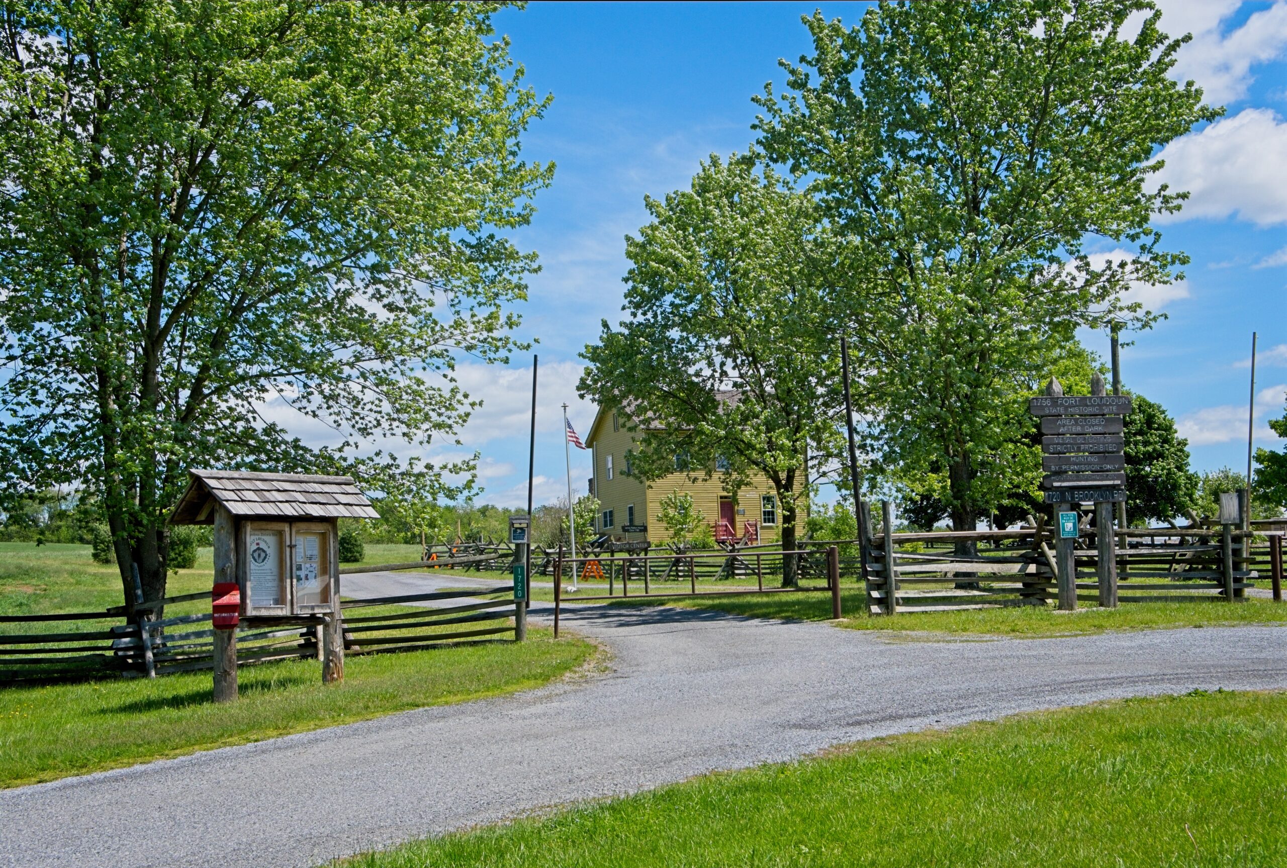
The colonial Fort Loudoun was built in 1756 during the French and Indian War as a supply depot. A replica of the fort, built in 1993, stands at the corner of US 30 and Brooklyn Road North, at the southeastern corner of the CDP. There are events anb workshops held at the site, although hours for tours can be variable. The exterior of the property and access to Conococheague Creek for fishing is available from sunup to sundown. Please check the fort’s website for more informaiton.
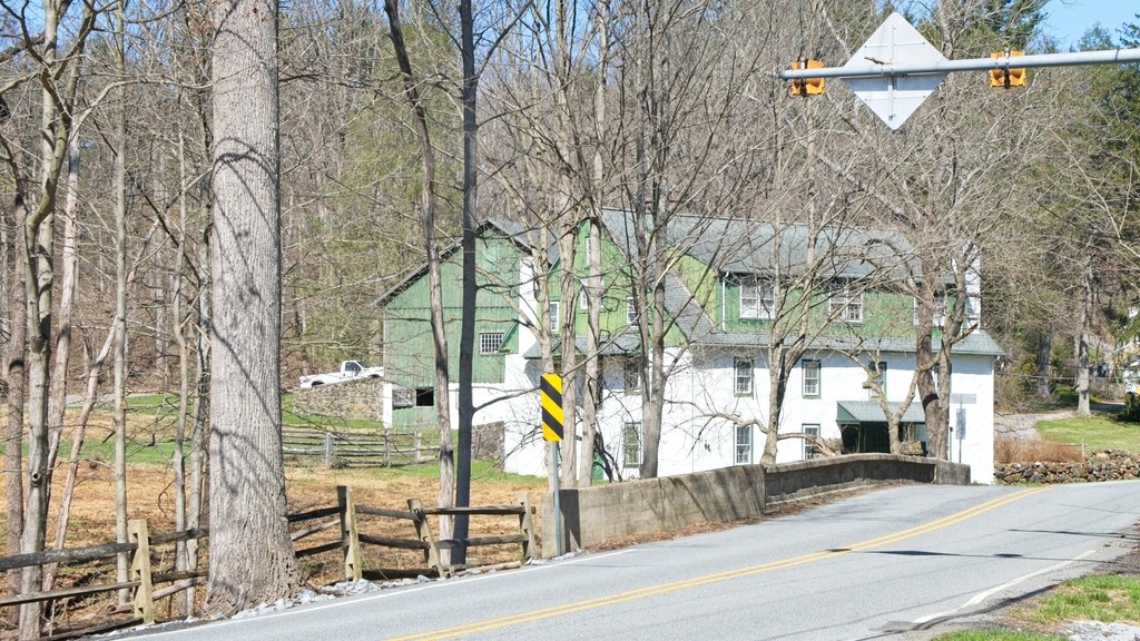
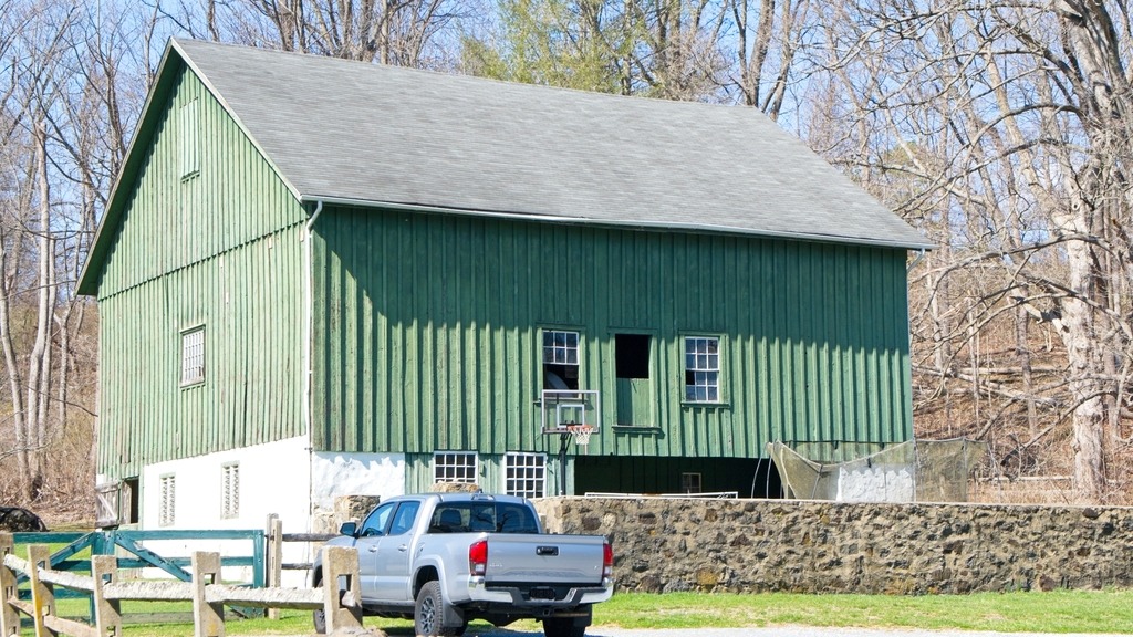
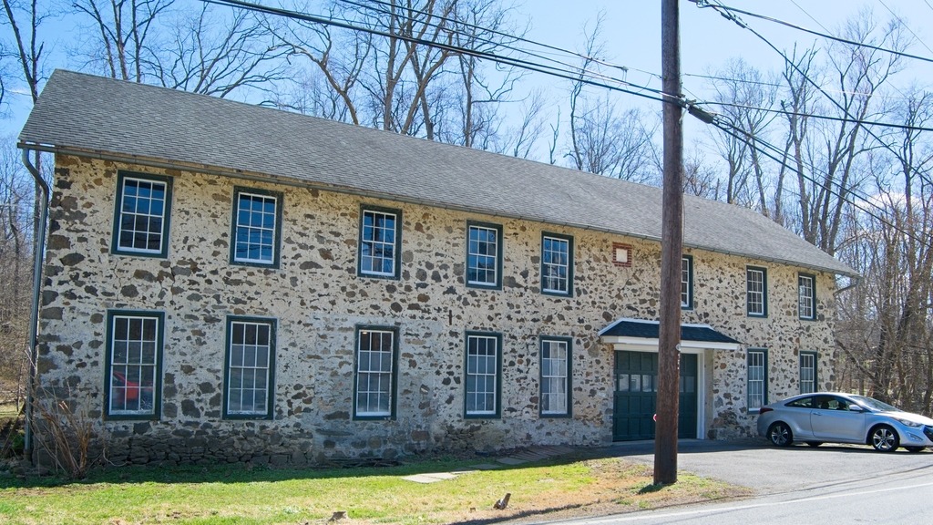
Kuster Mill, also known as Custer’s Fulling Mill and Skippack Creek Farm, is a historic fulling mill in Evansburg State Park on Skippack Creek in Montgomery County. The complex includes three contributing buildings and one contributing structure. They are the original mill, mill race, a stone house, and a Dutch bank barn. It was added to the National Register of Historic Places in 1971.
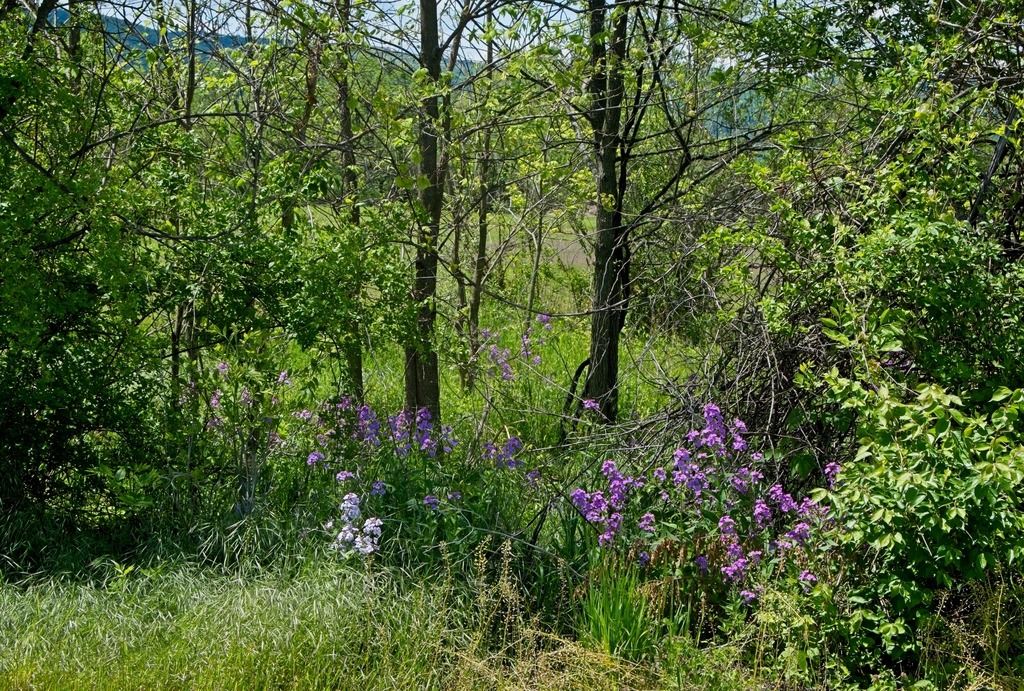
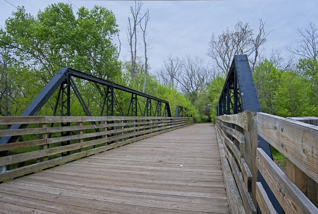
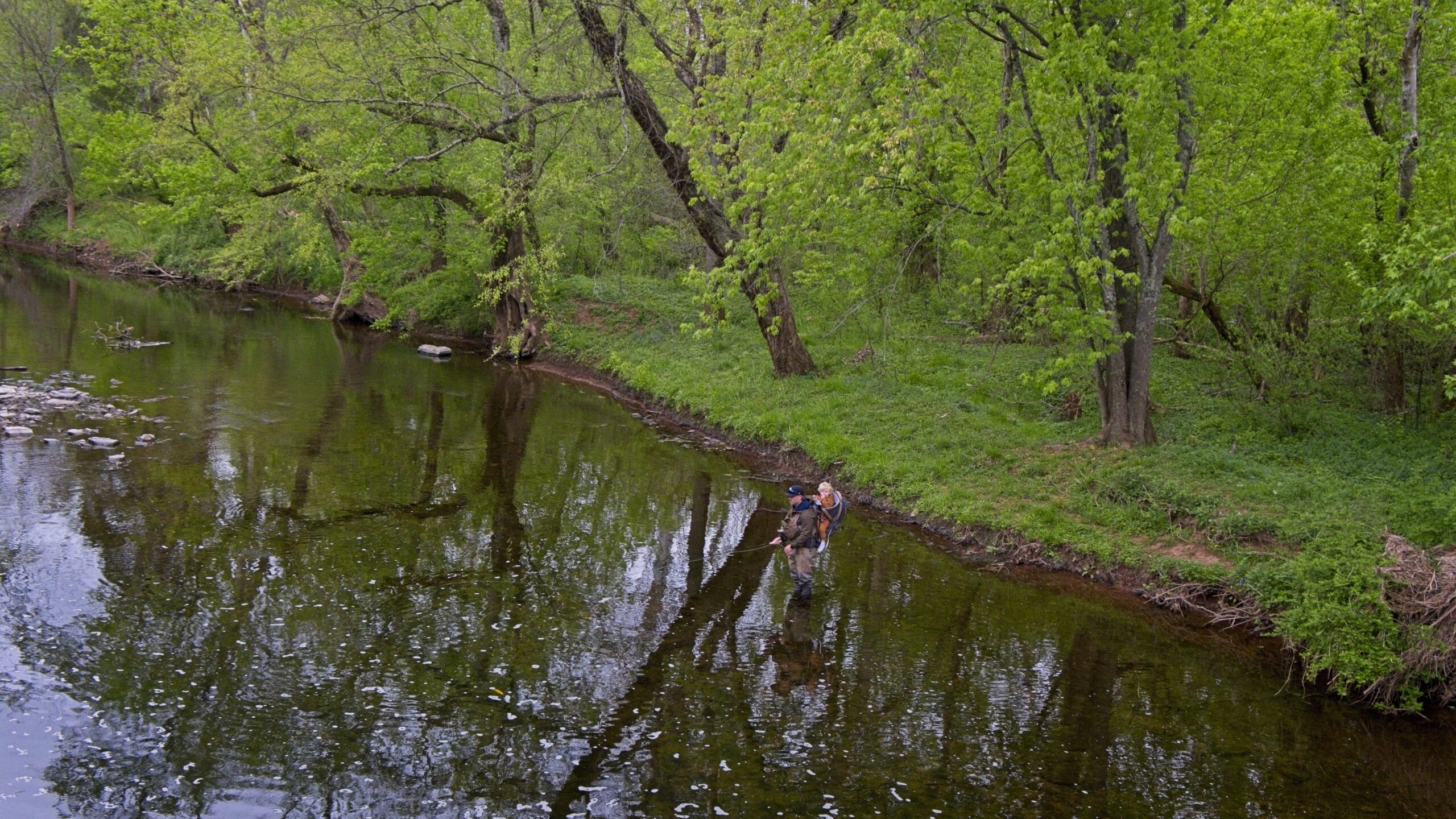
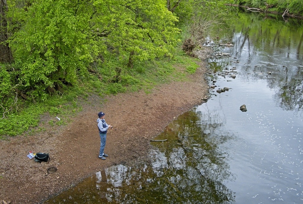
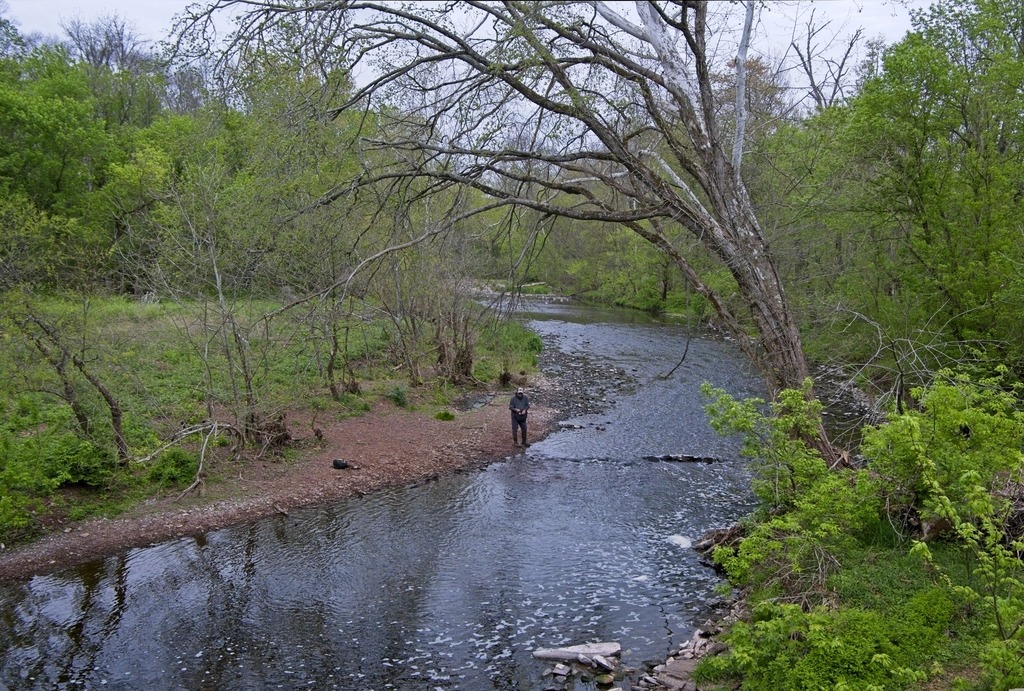
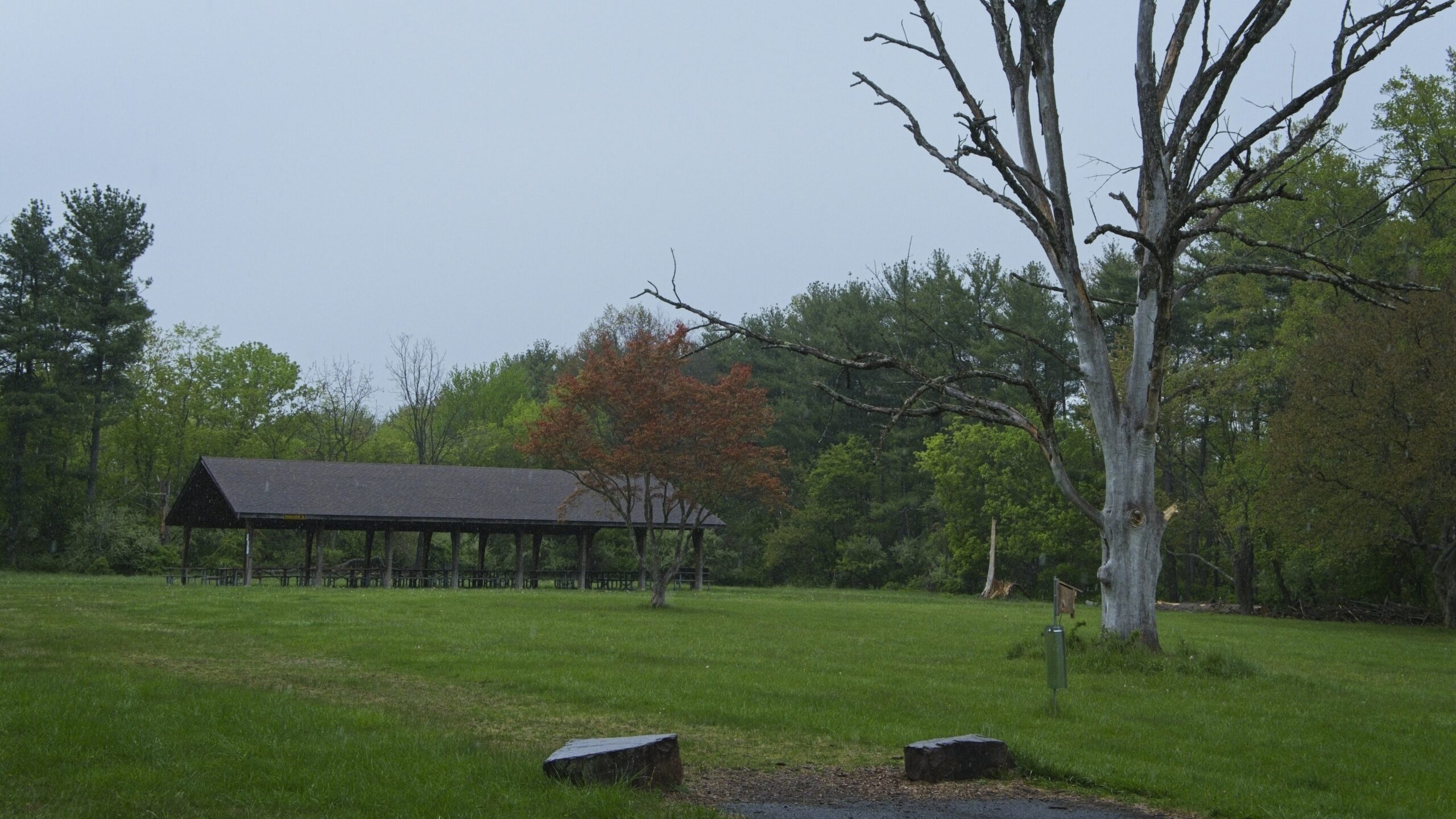
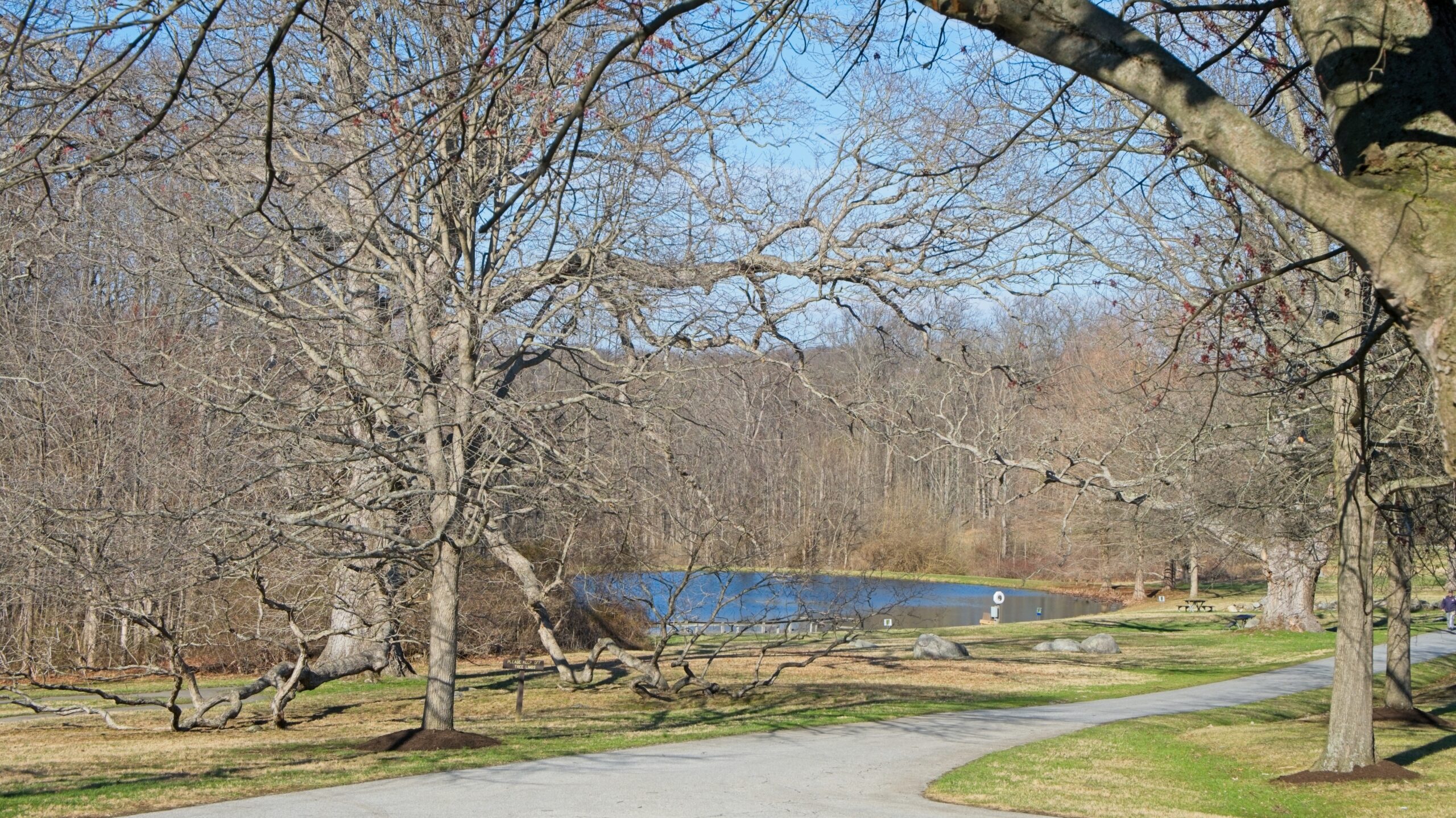
Today, the area is popular with fishermen and walkers in Evansburg State Park. I visited on a day in April when trout season was underway. The weather was grim, but that was not much of a deterrent to those enjoying the park.
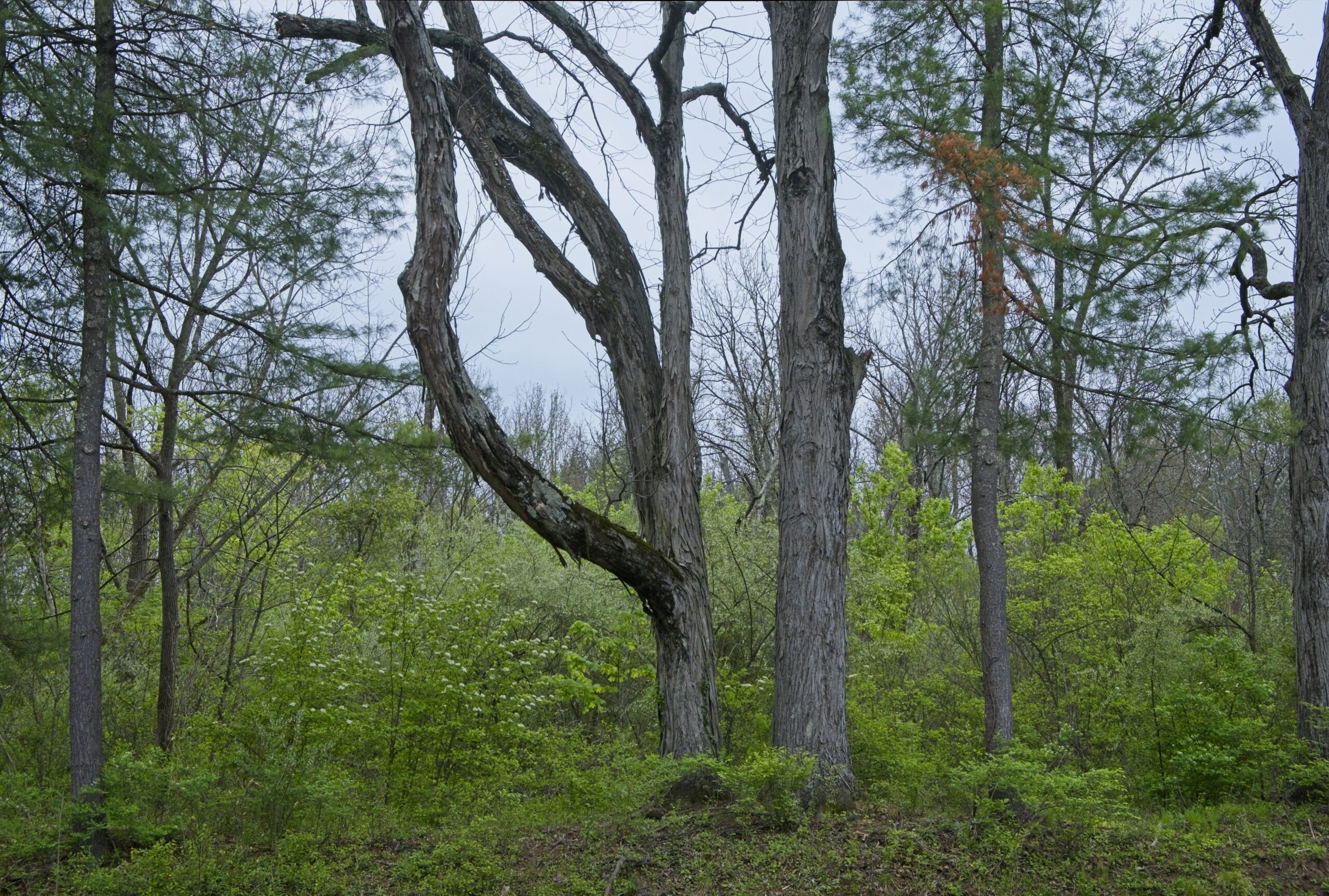
The pedestrian bridge.Fishing is family affair here.You have to wonder how trees get like this,The Friedt Visitor Center at Evansburg State Park.Along Arcola Road
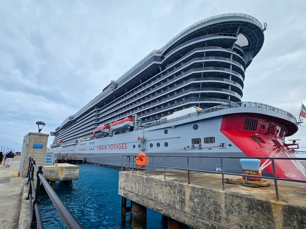
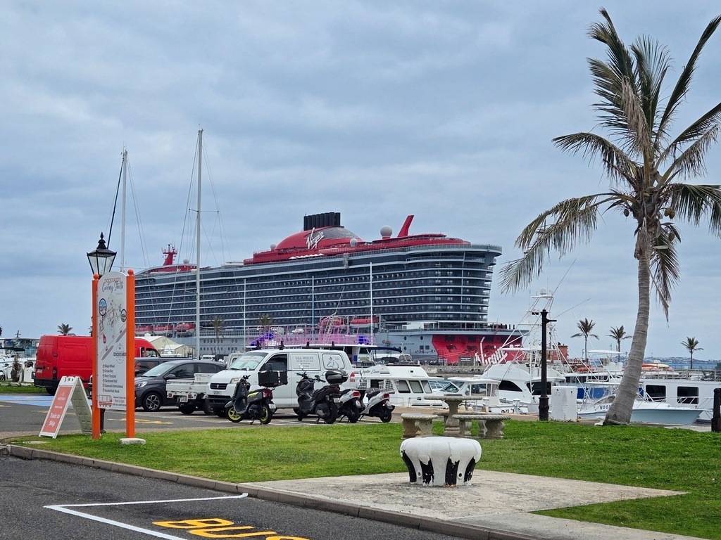
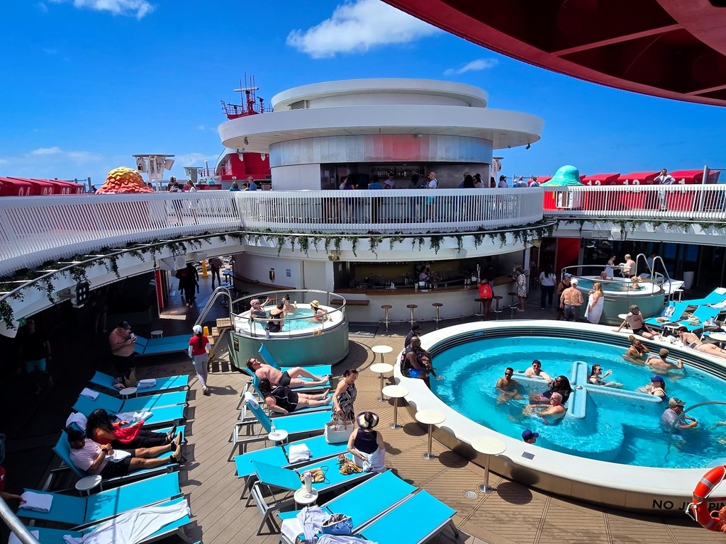
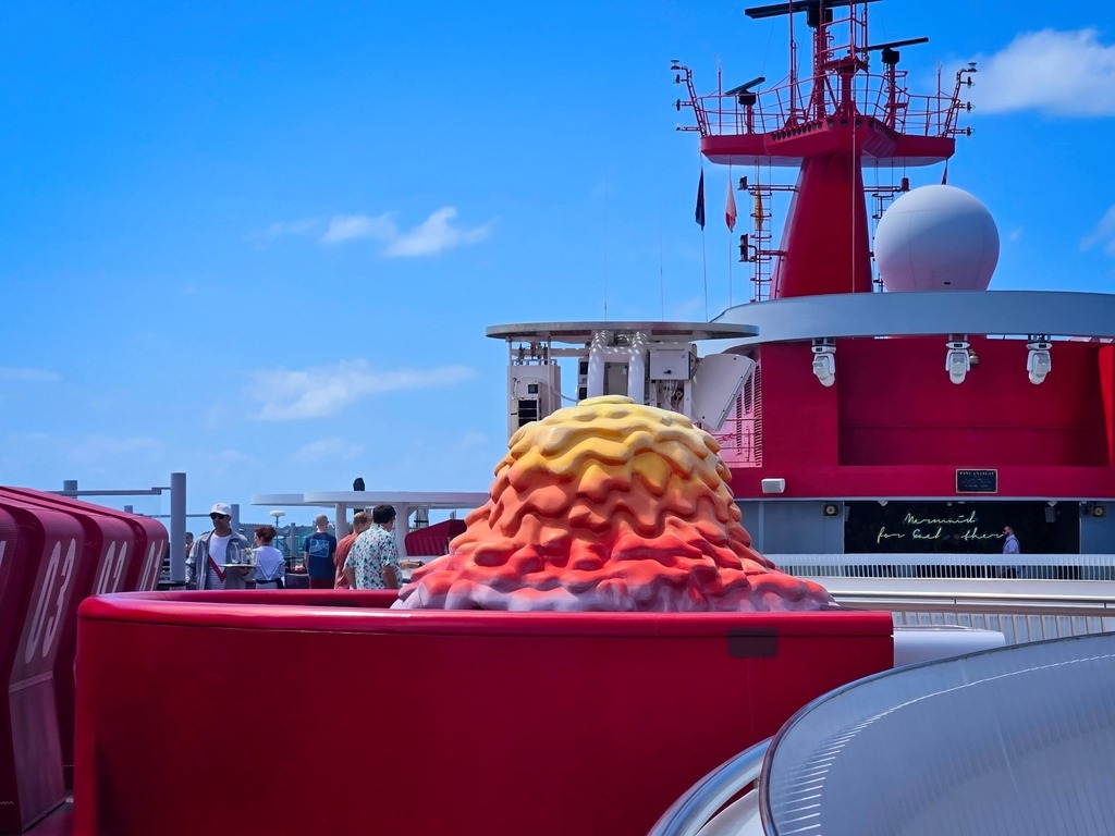
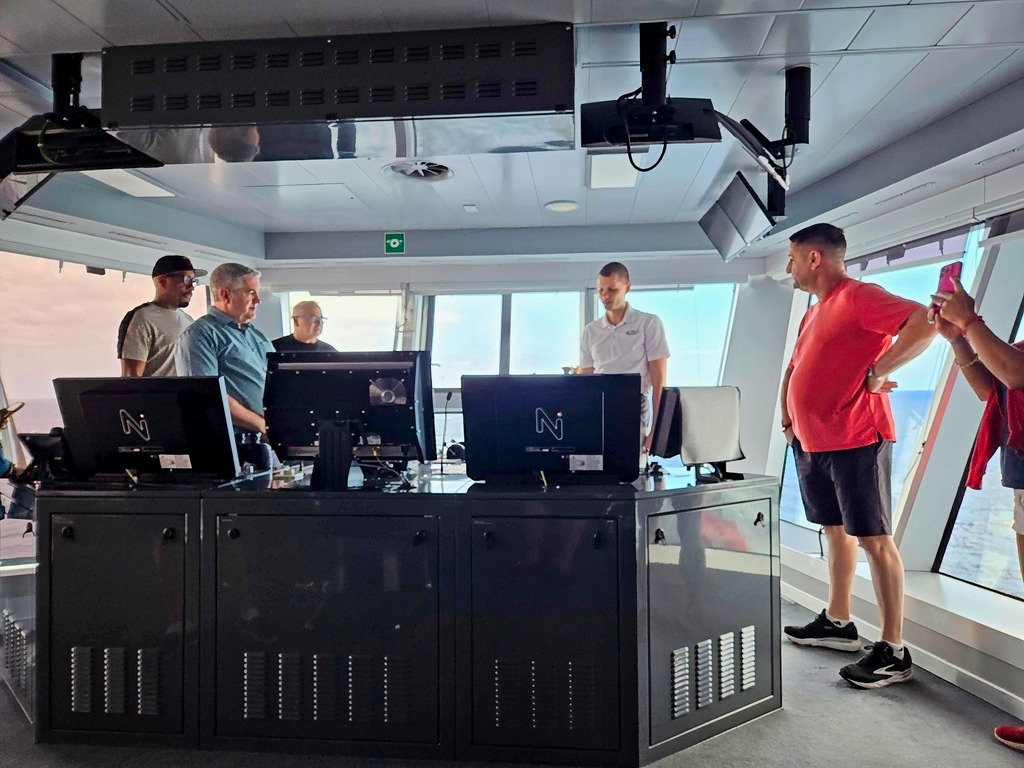
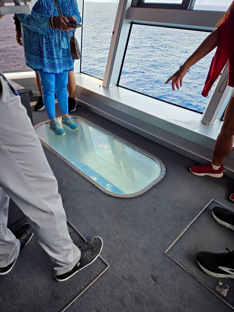
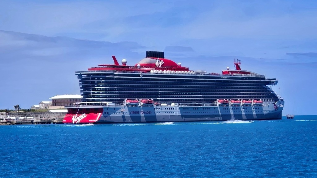
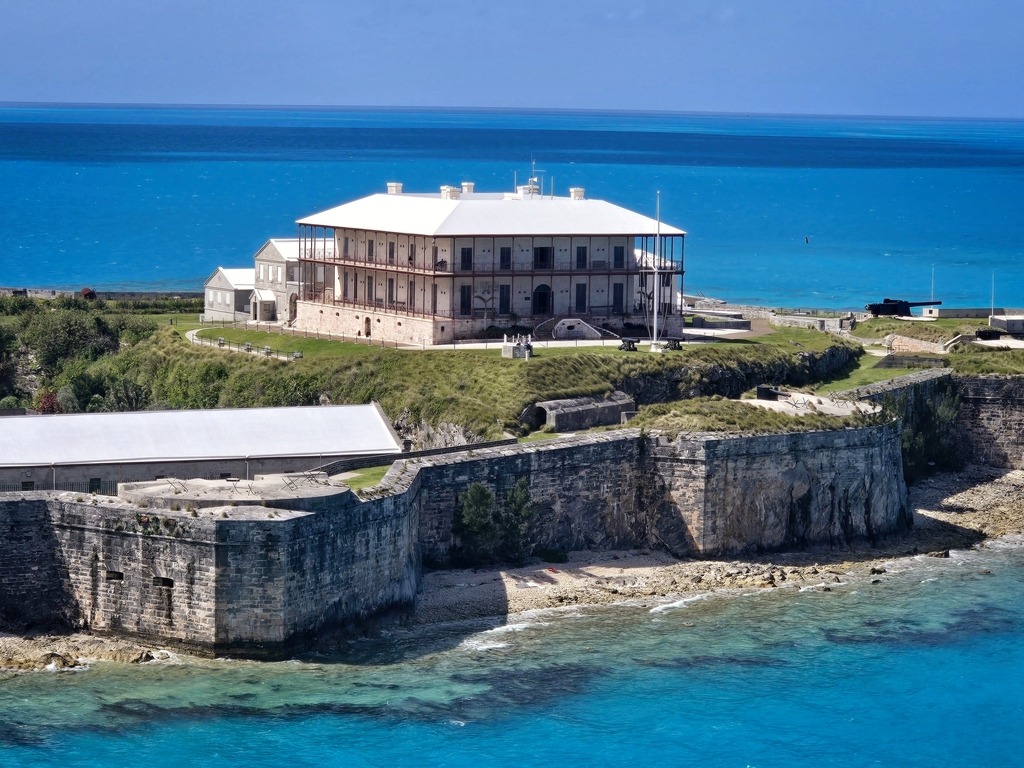
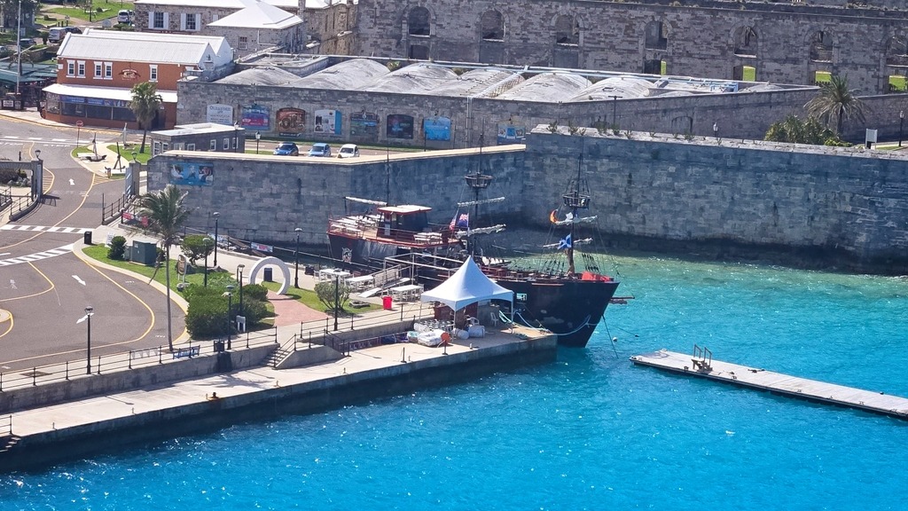
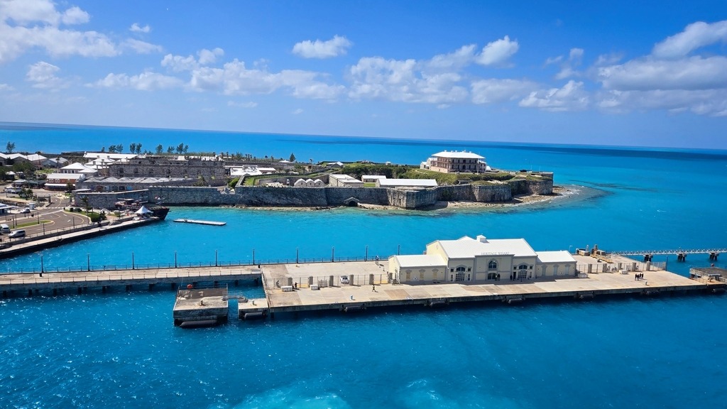
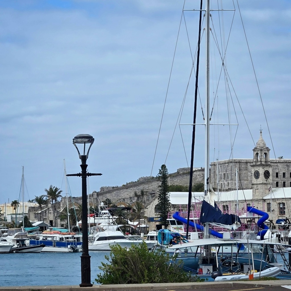
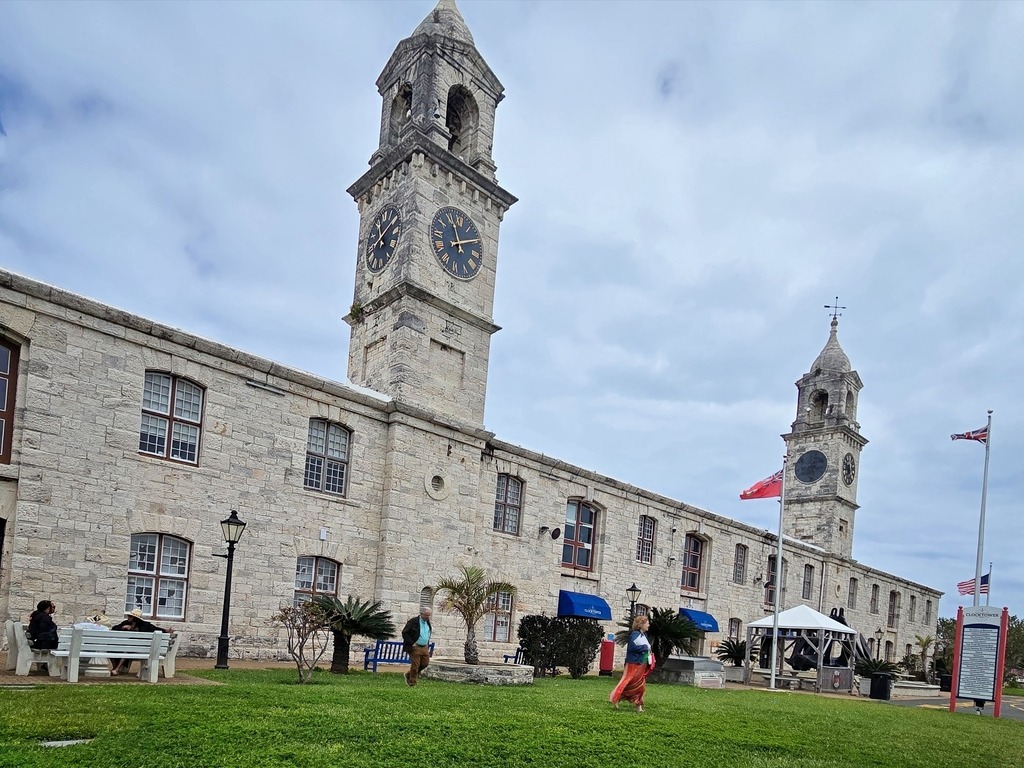
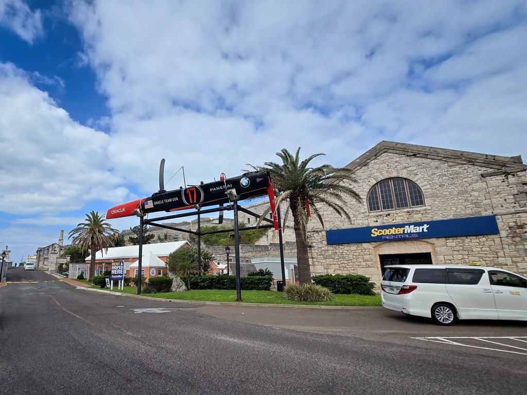
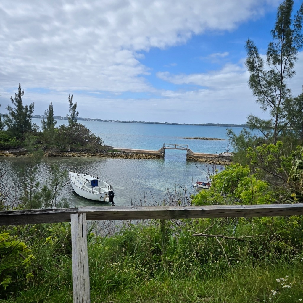
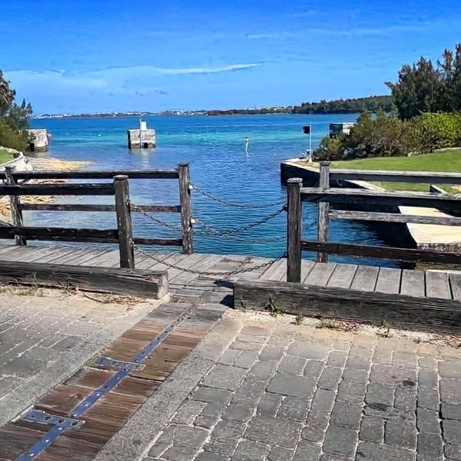
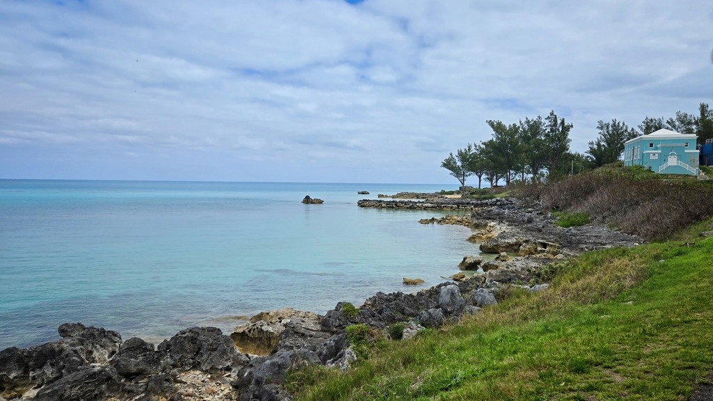
Continuing our series from Bermuda in April, the following photos provide a look around the Royal Naval Dockyard, which now functions as a cruise port and location for dining, shopping and museums.
The Commissioner’s House at the National Museum of Bermuda.Calico Jack’s, now a restaurant and bar.Heritage Wharf and the Commissioner’s House.The ferry has arrived.The Clocktower Mall.The 2017 America’s Cup hull of Oracle Team USA.Some jet skiers braving the cold waters.Fort St. Catherine near St. George.The reef is very close to the channel in some spots.
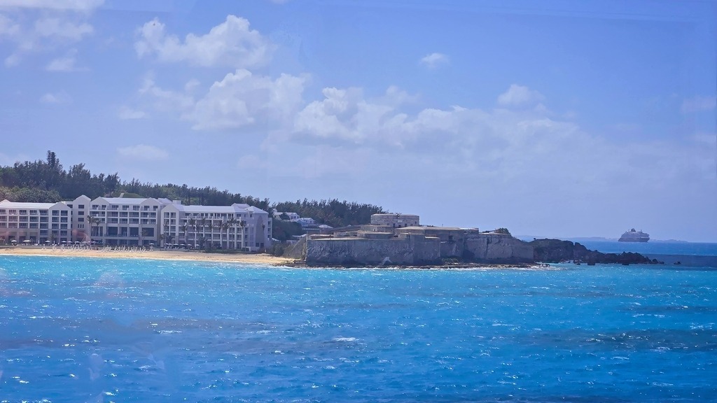
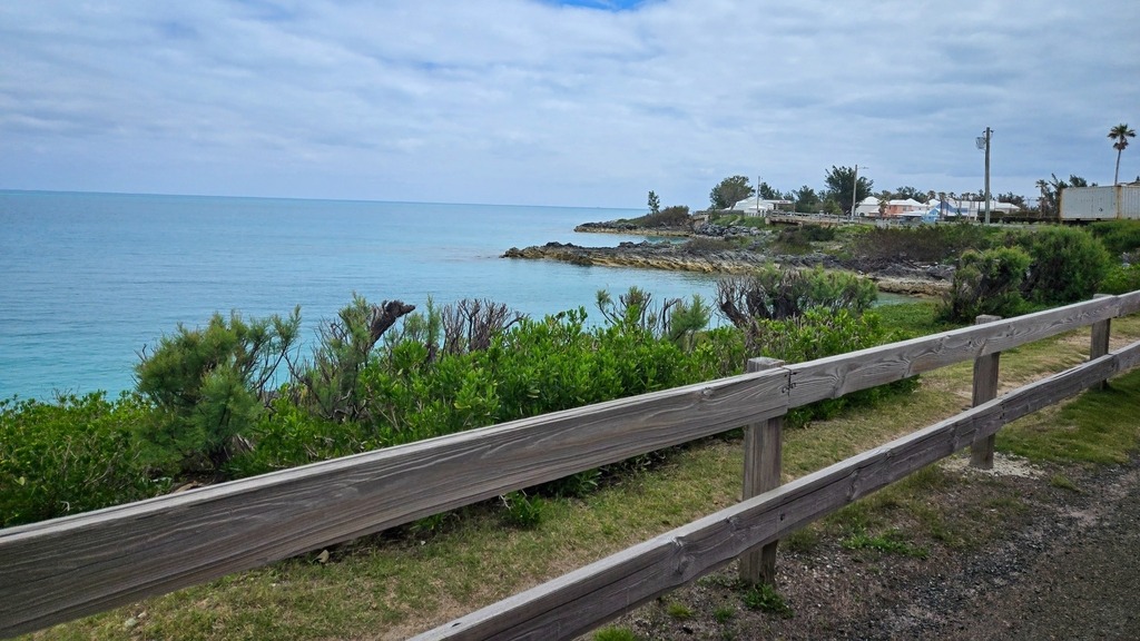
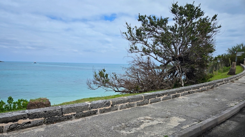
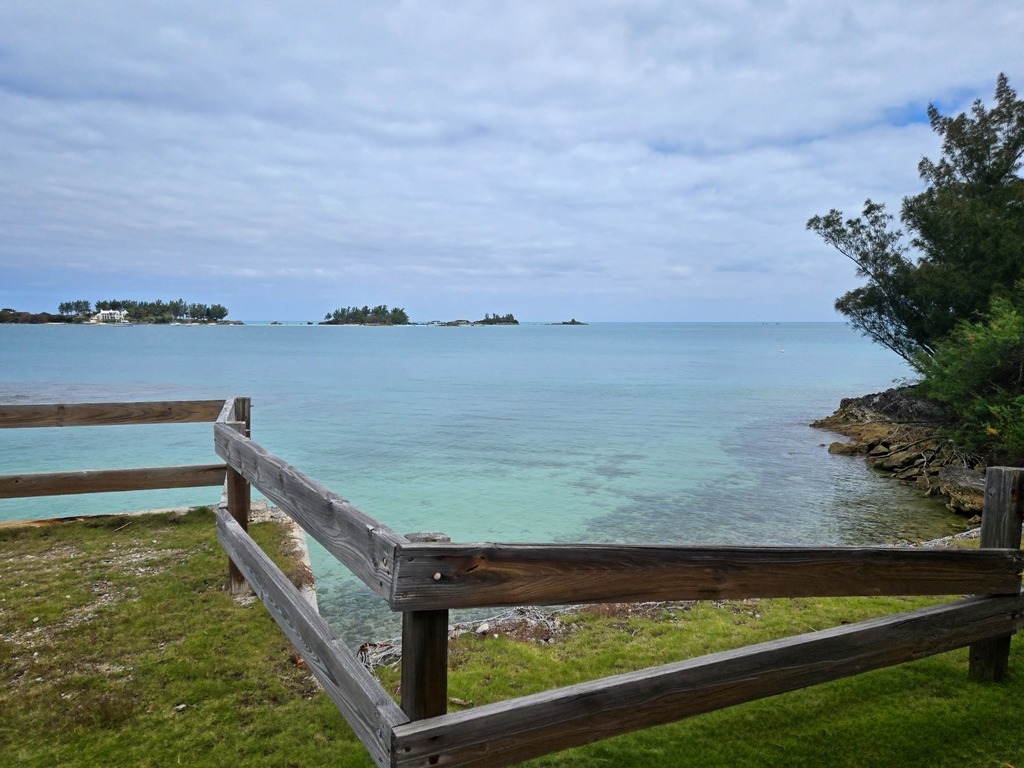
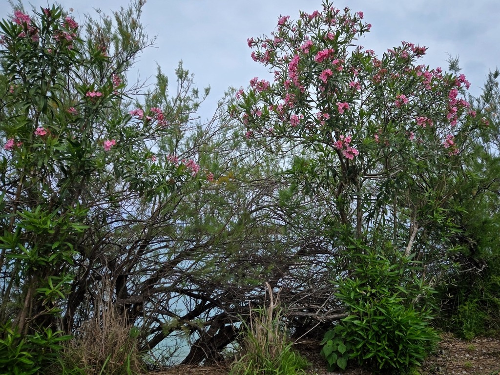
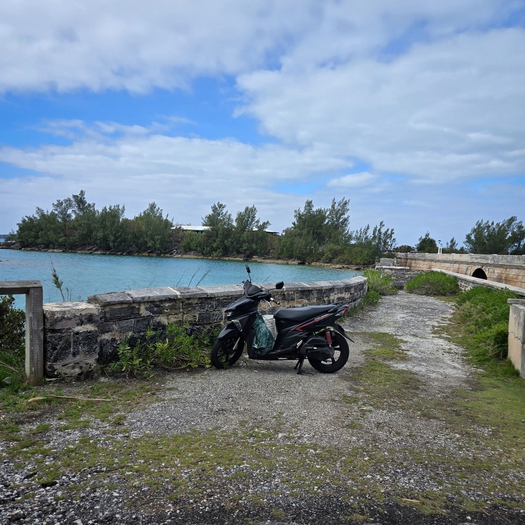
The following post (and two more to follow) are from a recent cruise to Bermuda which I took in mid April. The first entry is from a trolley tour around the West End of Bermuda near the Royal Naval Dockyard and Somerset Parish. Even though the weather was overcast, there were still some lovely coastal views.
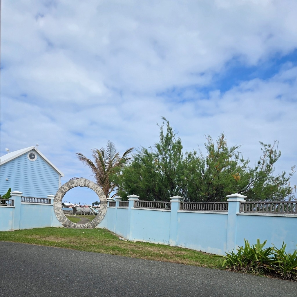
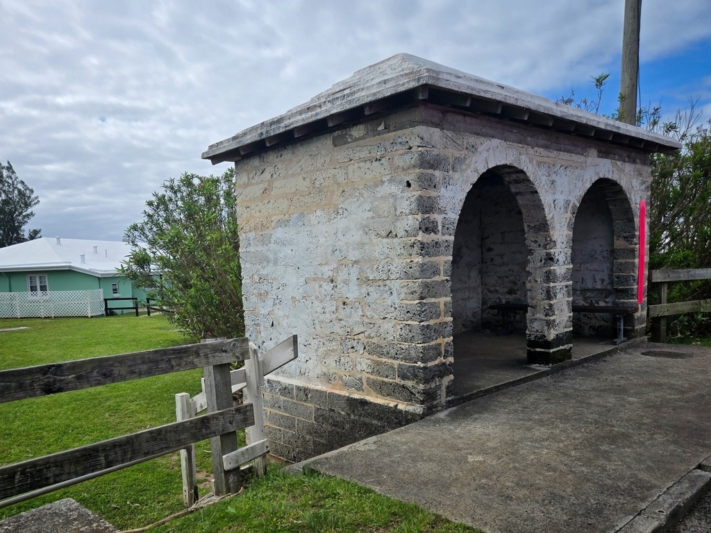
One of the famous Bermuda Moon Gates.Old bus shelter of Bermuda limestone.I love the colorful buildings here.The world’s smallest drawbridge – from a photo of a fellow traveller.
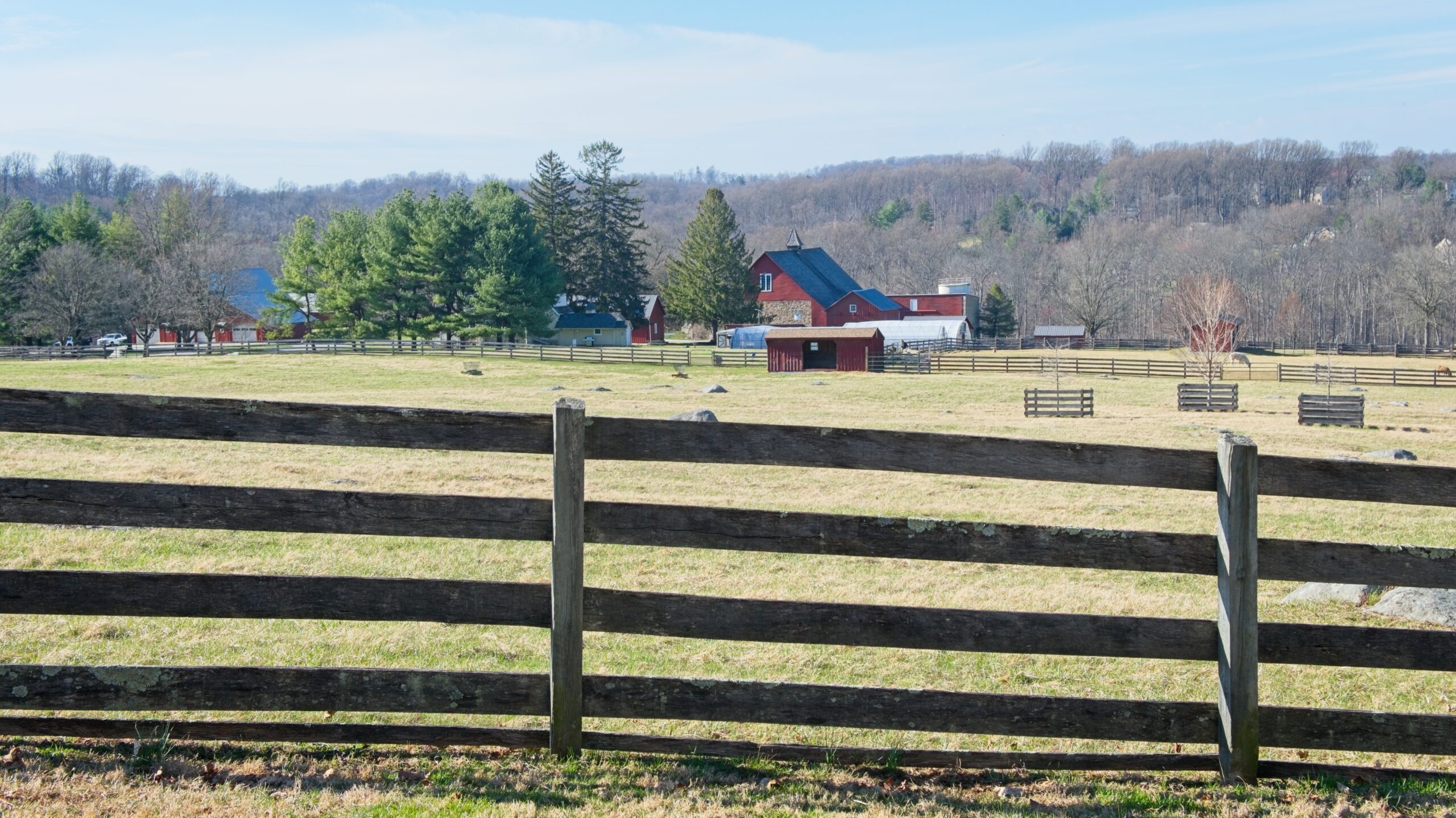
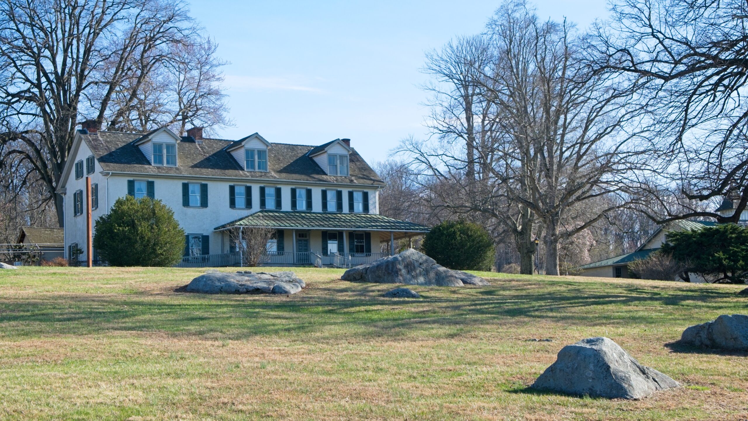
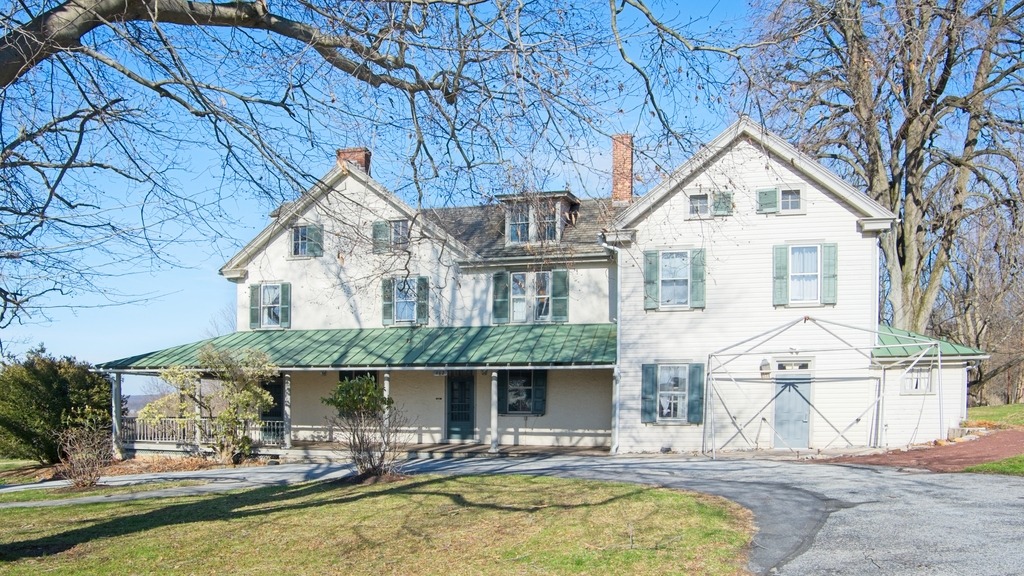
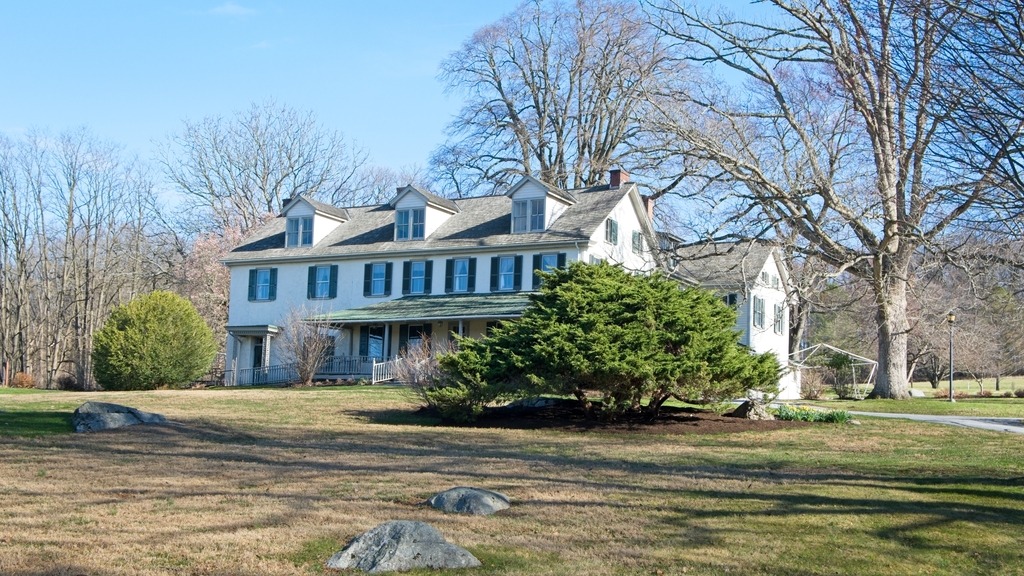
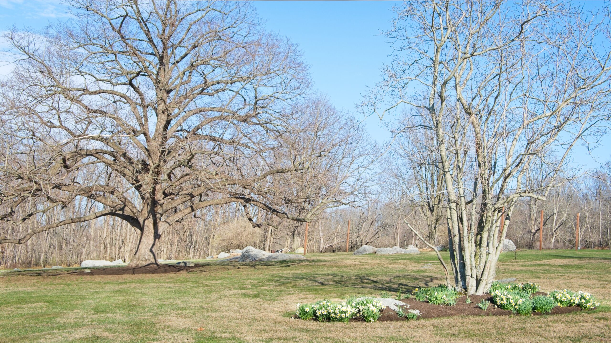
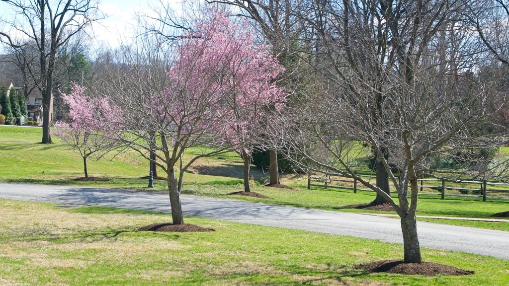
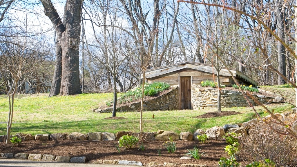
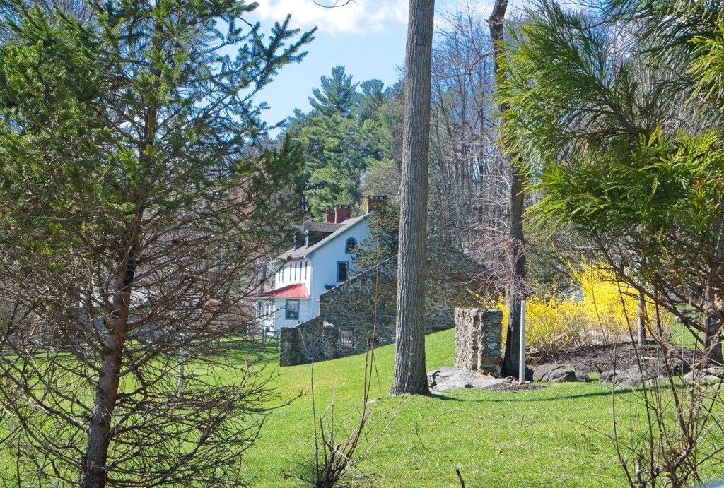
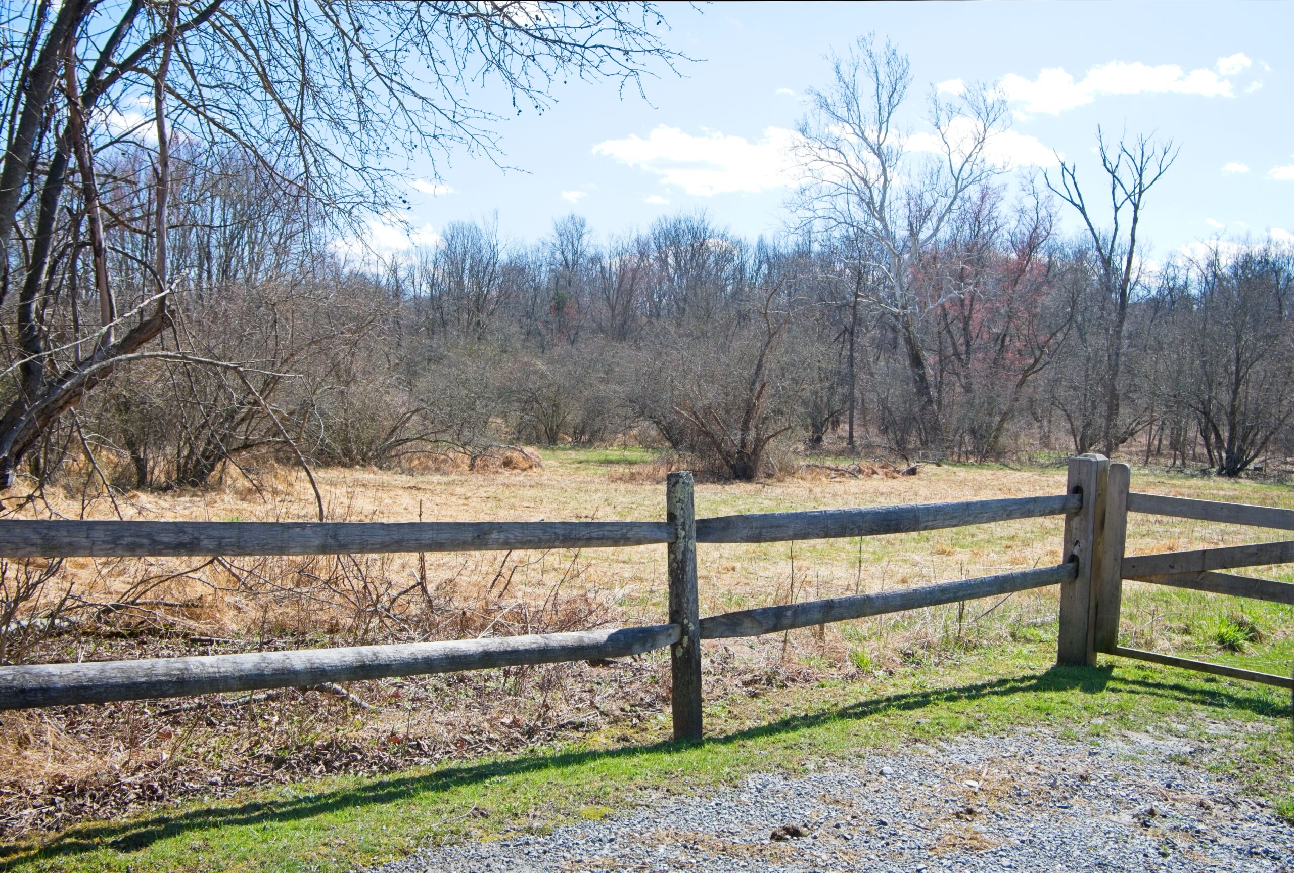
Springton Manor Farm is part of the Chester County park system. Within its historic landscape of fenced fields, stone walls and misty morning vistas is a preserved patchwork of colonial plantation, Industrial Revolution era scientific farm, Victorian tenant farm, and gentleman’s country estate. The Manor House and Carriage House overlook 300 acres of centuries-old sugar maples, open pastures and Penn Oaks, which surround the lower pond. The Manor House is not open to the general public.
Initially part of a William Penn Manor, Springton Manor has been in agricultural use since the early 1700’s. On this demonstration farm, one can meet the animals and learn about Chester County’s farming history. The barn complex consists of the Great Barn, sheep shed, goat shed, a roost and equipment shed. You may see horses, donkeys, rabbits, calves, pigs, sheep, goats, chickens and peacocks. The Family Farm Museum, located within the Great Barn, contains seasonal tools and apparatus used on Chester County farms from the 1700’s to the 1900’s.
This visit focuses on the exterior of the property and the manor house. I visited this property previously. You can view that post here. That post has views of the farm buildings. I intend to return earlier in the day to try to photograph some of the animals. which now seem to include llamas or alpacas.
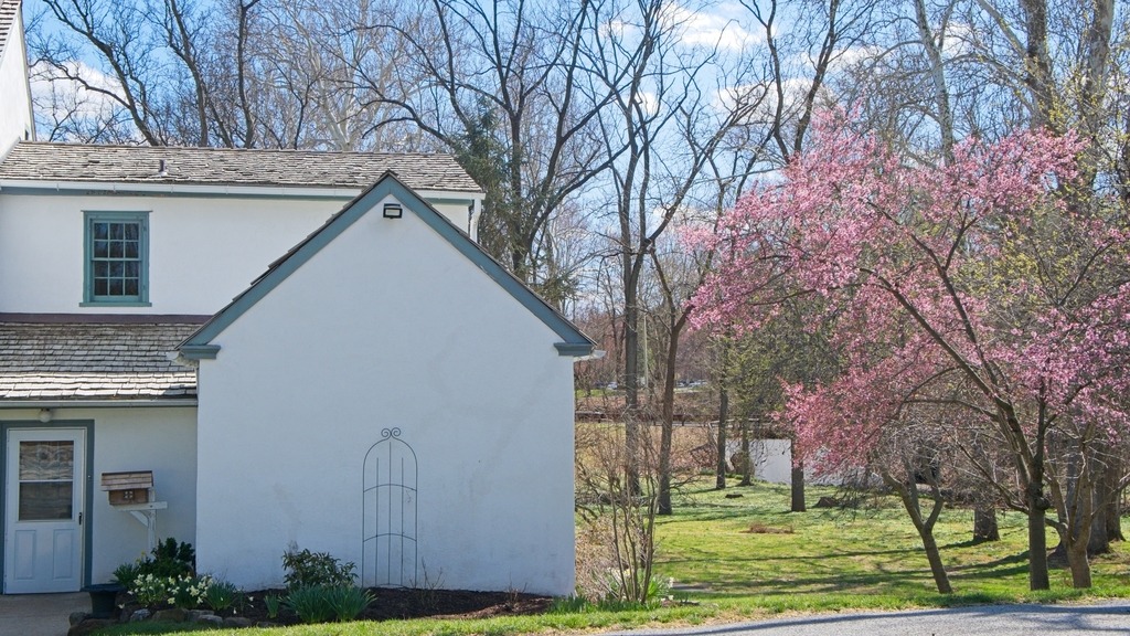
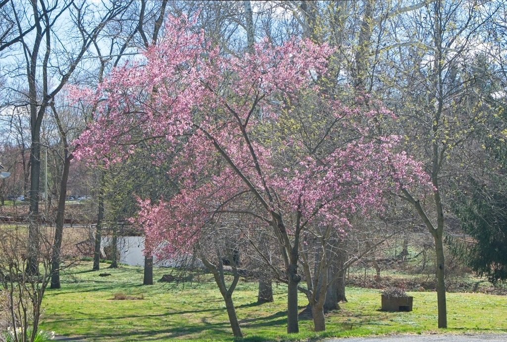
The Duportail House in eastern Chester County is a frequent feature on this blog. Today we look at some of the Spring flowering trees on the grounds.
In 1740, a Welsh Quaker named John Havard, Jr. built a stone farmhouse on a large William Penn land grant in Chester County’s Great Valley. During the Continental Army’s encampment at Valley Forge in 1777-78, the Havard family played host to a guest from France, General Louis Lebègue Duportail. Recruited by Benjamin Franklin, Duportail served as the army’s Chief Engineer, designing fortifications at Valley Forge that could enable Washington’s troops to hold off a potential attack by the British army, which was encamped in nearby Philadelphia. The house is now used as an event venue, and the surrounding property is a park.
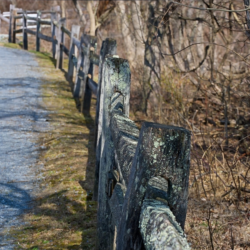
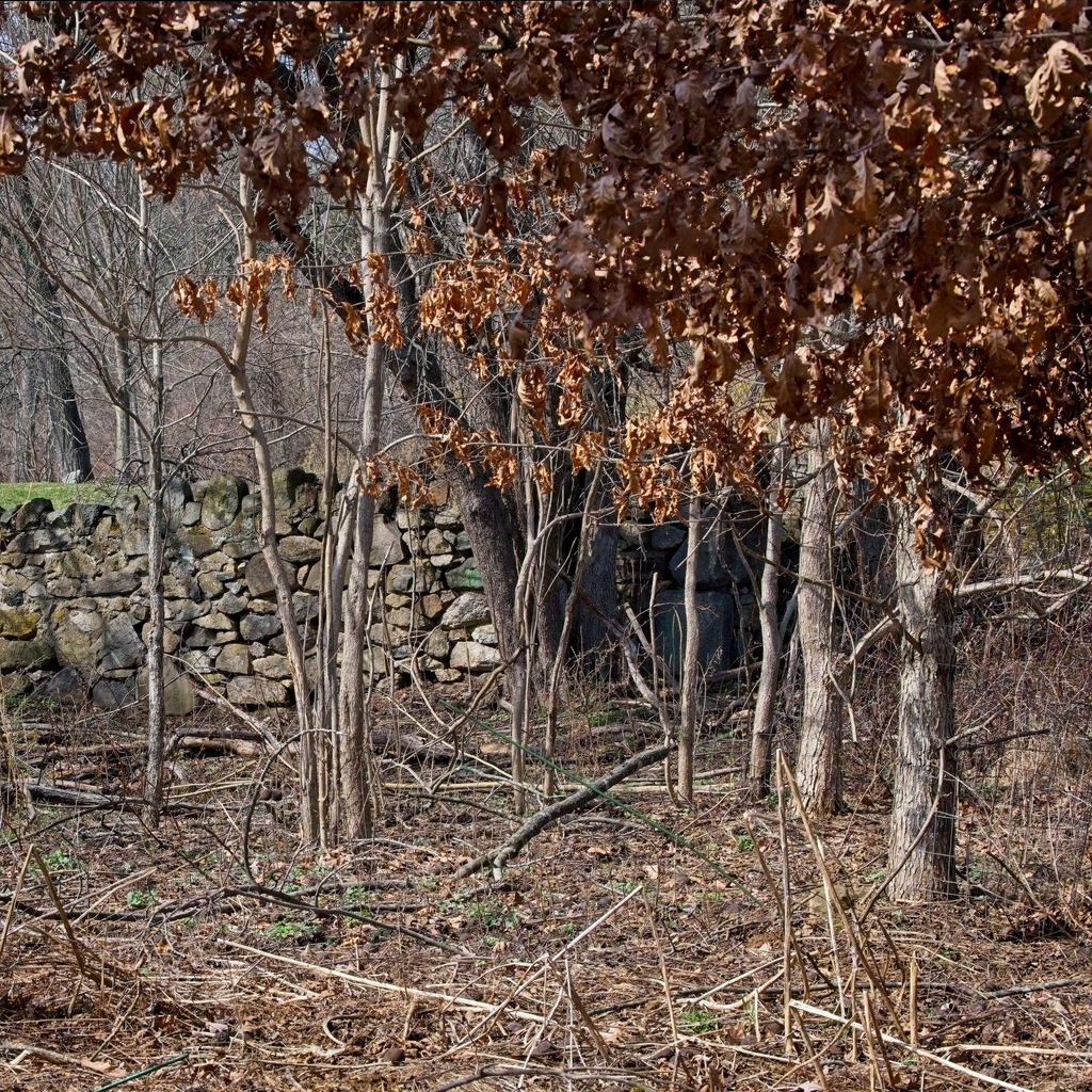
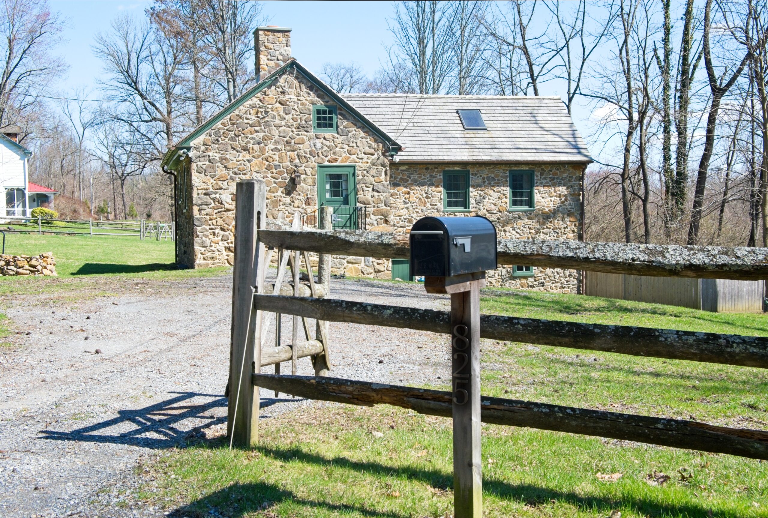
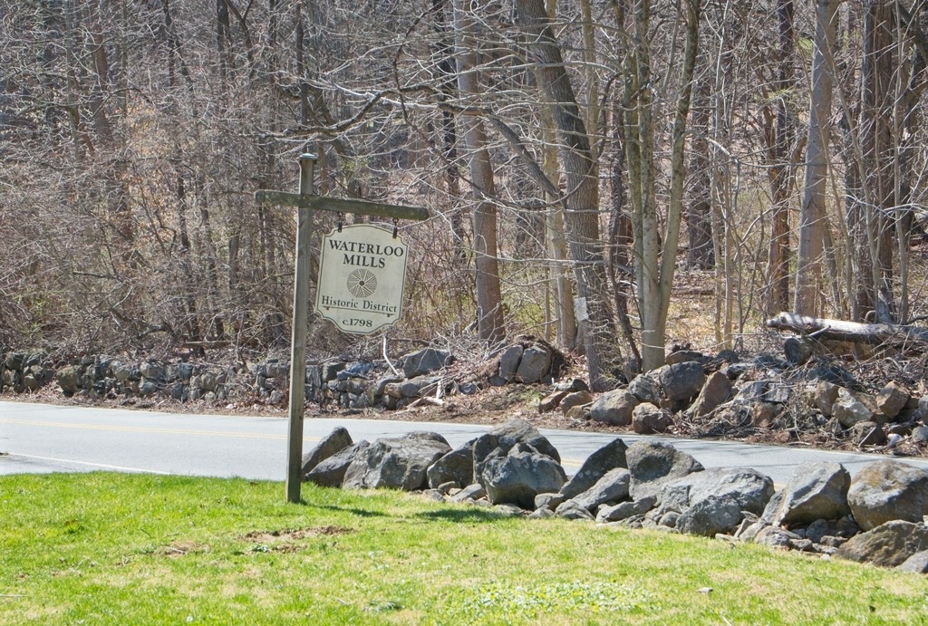
Waterloo Mills Preserve in Chester County is a property owned by the Brandywine Conservancy. On 170 acres, the site contains an 18th century village, mill race remnants, wildflower meadows, fertile marshes, mature woods and over a mile of the upper reaches of Darby Creek. Members of the Brandywine Conservancy & Museum of Art can walk the trails through the property. Stepping stones and a puncheon log allow visitors to ford small streams and Darby Creek. The property offers a variety of wildlife ranging from whitetail deer to turtles to migratory birds, as well as many varieties of plants.
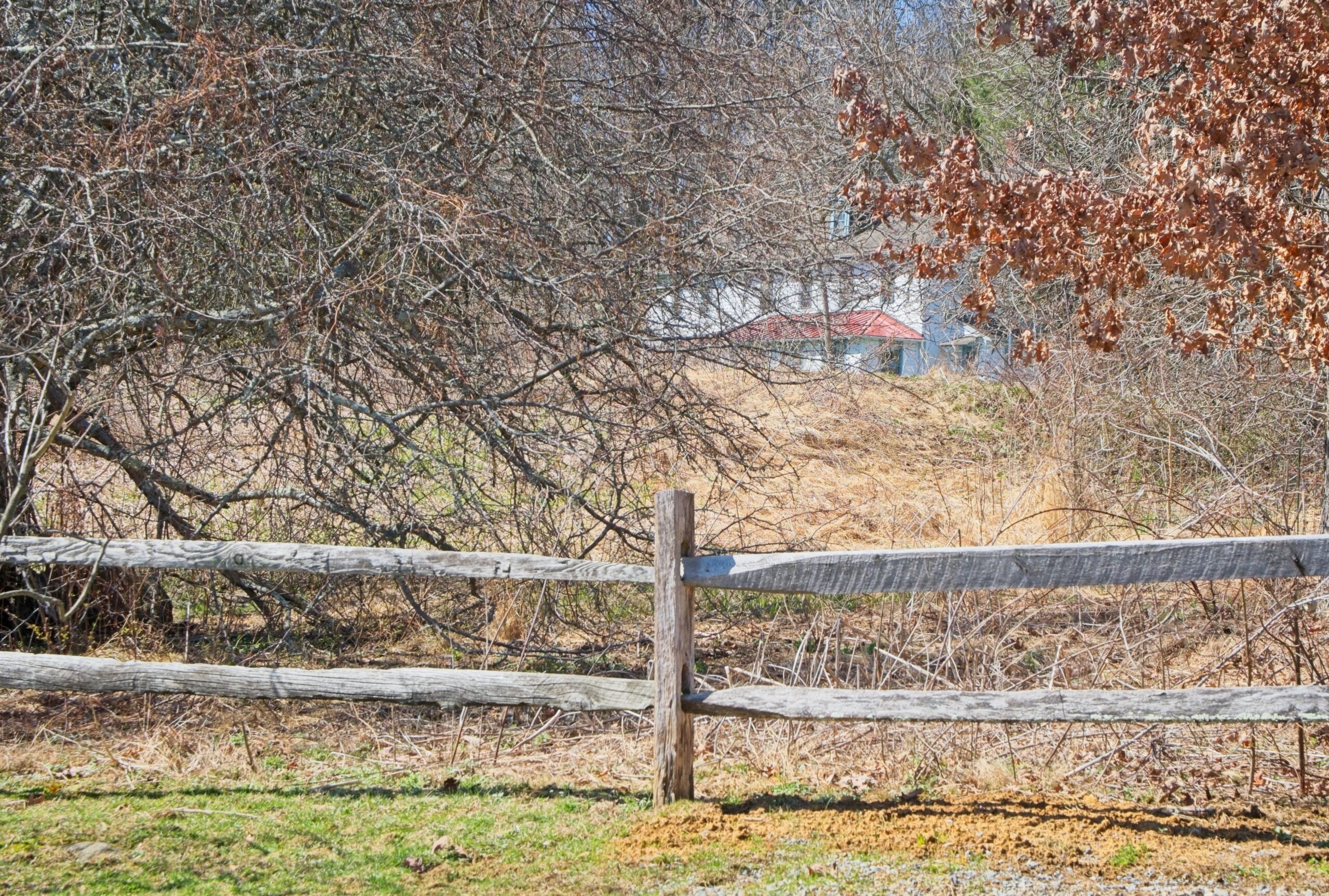
The village of Waterloo Mills, listed on the National Register of Historic Places, includes an old gristmill, a barn, a wheelwright and blacksmith’s shop, and two houses. Here are some views of the outdoor sections of the property.
A few of the old mill and farm buildings in the Historic District remain.