The N.C. Wyeth House and Studio makes a lovely trip in the early Spring. One can visit the house and studio via a guided tour which leaves from the Brandywine River Museum and is definitely a must see for Wyeth fans. N.C. Wyeth is primarily known as an illustrator but worked on other subject matter as well. The property is only available for tours with limited dates and times, so please check the website at brandwyine.org for more information.
The site is described on the website as follows: In 1911, with the proceeds from his illustrations for Treasure Island, the artist N.C. Wyeth purchased 18 acres of land near the village of Chadds Ford, Pennsylvania. Possessed, he described it as “the most glorious site in the township.”
The house and studio, located five minutes from the museum, retain much of their original character. The main studio, with its spectacular Palladian-style north window, still contains many of the props that were essential to the work of an illustrator, including a birch-bark canoe and a collection of firearms. A full-size mural painting, displayed in a soaring 1923 addition, helps tell the story of Wyeth’s career. The house, with its country furnishings, reveals a more intimate picture of family life.
The N.C. Wyeth House and Studio is a National Historic Landmark and a member of the Historic Artists’ Homes and Studios program of the National Trust for Historic Preservation.
A view of the house and barn.The barnA look inside at some of the downstairs rooms is included in the tour.A view of the side of the barn with some artists at work.The palatial windows of the Studio open Wyeth’s workspace up to natural light.“Island Funeral” – this is now one of my favorite works by Wyeth. The original was in the Museum.I particularly liked this book shelf with the ships’ models and the animal which I think is a river otter.A work depicting William Penn and the founding of the Commonwealth.The artists tools as he left them the day he died.
I recently started watching the “Franklin” TV series on Apple TV+ which mentions the injury to the Marquis de Lafayette during the Battle of Brandywine. Coincidentally, I had visited part of the battlefield site a few weeks before.
The Brandywine Battlefield Historic Site is a National Historical Landmark which is owned and operated by the Pennsylvania Historical and Museum Commission, on 52 acres (210,000 m2), near Chadds Ford, Delaware County. This area is a partial site of the Battle of Brandywine, which was fought on September 11, 1777. The battle was a decisive victory for the British and cleared a path directly to the capital in Philadelphia.
Brandywine Battlefield Park became a Pennsylvania State Park in 1949 and a National Historic Landmark in 1961. Although the battle area covered more than ten square miles, or 35,000 acres, the modern park only covers the fifty acres that served primarily as the Continental encampment during the two days prior to the battle. To the north, another part of the battlefield is maintained by Birmingham Township, Chester County as “Battlefield of the Brandywine Park,” or “Sandy Hollow Heritage Park.” Much of the afternoon’s fighting took place between Birmingham Friends Meetinghouse and the William Brinton 1704 House near Dilworthtown. A subsequent engagement occurred during the Battle of Paoli. The Paoli Battlefield Historical Park and Paoli Memorial Grounds are located in Malvern.
The site is operated under an agreement between the PHMC and Chadds Ford Township with the Brandywine Battlefield Associates, or “Friends of Brandywine Battlefield” who now operate the site with staff and volunteers. If you wish to visit this site, please check hours before going. I have frequently passed by the gates here, and they have been closed. This was a brief visit, as I was stopping by after a visit to the Brandywine River Museum, and I plan to return in the future.
Some views of the Gideon Gilpin Homestead. The home here is believed to have been used by Lafayette.The Benjamin Ring House, said to haven been used a headquarters by George Washington.Brandywine Baptist Church sites at the edge of the site.One of many United States flags on the site.
The Gosheville Blacksmith Shop lies on Route 352 just south of Paoli Pike in Chester County. It is owned by East Goshen Township and is open Wednesday and Saturday from 10 am to 4 pm for viewing of the interior and and a working blacksmith. It is part of the Goshenville Historic District. While I was there, a young woman was working the forge and making small iron objects. She was also available to provide information about the site. Two rooms on the lower floor are available for viewing.
The Blacksmith Shop is described on the East Goshen Township website thusly:
The Goshenville Blacksmith Shop was built in 1740 by Arron Ashbridge (1712 – 1776) for rental as a wheelwright shop. The hearth room section was built first. Around 1750 Aaron’s son Joshua completed his apprenticeship at the Willistown Forge and opened his own blacksmithing business in this shop. At that time a one and half story addition was erected on the south side of the original building to house the wheelwright shop. Around 1800 the addition was reconstructed with a full second floor to be used as a room for painting wagons and carriages. Sometime in the 1800s the field stone building was covered with stucco (patches of the original stucco remain). It is interesting to point out that iron ore is mixed in with the field stones in the walls of the building…. In addition to horse shoeing, the blacksmith along with the wheelwright, repaired single and double trees for wagons, tightened and re-rimmed wagon wheels, built new hay wagon bodies on farmers running gear. The smith would also repair and sharpen farm tools, replaced wooden handles on shovels and forks and make fireplace andirons and household and farm tools. Often broken tools required welding by heating the parts in the forge then hammering the pieces together at the anvil.
The trip home was made by a different route. I headed north through Chester County toward Elverson from Hibernia County Park and then across Route 23.
Interesting pavilions at a park in Elverson.
This is a lovely area called Coventryville that I have photographed before. Coventryville was founded as an iron forge in 1717 by Englishman Samuel Nutt, an early American industrialist and member of Pennsylvania’s Assembly in 1723–26. Coventry was the first forge in Chester County and was located at the confluence of the north and south branches of French Creek, a short distance from rich iron deposits. Nutt went on to own two additional furnaces in partnership with Mordecai Lincoln and William Branson.
The village today consists of structures dating from the early 18th century until the mid 19th including workers housing, the Inn, the ironmaster’s house (Coventry Hall) and the mid 19th century Methodist church. The Coventryville Historic District remains an intact concentration of original eighteenth and nineteenth century structures. The community was listed on the National Register of Historic Places in 1978.
Arriving at Hibernia County Park, I approached the main park area via Lyons Head Drive, a route I had never used before. There are some interesting older cottage style houses along this road, most of which are either off limits due to disrepair or privately occupied. At the top of the hill, I reached the Hibernia Mansion. The mansion is the former abode of local iron masters and a wealthy Philadelphia lawyer. It has expanded in the over the 200 years of its existence to meet the needs of its occupants.
The Birmingham-Lafayette Cemetery in Chester County is a fascinating property. It lies near the Brandywine Battlefield historic site. It contains some interesting grave marker and memorials, including memorials to Generals Lafayette and Pulaski.
A short distance from the Chadds Ford area one enters the state of Delaware. Fred Smith’s Covered Bridge crosses the Brandywine Creek near the Brandywine tract of First State National Historic Park. It was reconstructed in 2002 after a fire in 1961. It is of the ever popular Burr Arch Truss design. The original Smith Bridge was built in 1839 and was a single span that crossed over Brandywine Creek, near Winterthur. It measured 154 feet long.
The Brandywine Valley is an iconic area of southeastern Pennsylvania thanks to the artwork of the Wyeth family and other artists. I hadn’t visited the area in a while, but broke down an bought a membership to the Brandywine Conservancy so I could visit the artist studios and the Kuerner farm property. I did not photograph anything at the Brandywine Museum of Art, but I did take some photos of the surrounding area in Chadds Ford.
The Kuerner Farm was adjacent to the Wyeth property. For more than 70 years, the the farm and its inhabitants were a major source of inspiration to Andrew Wyeth. The early 19th-century farmhouse and the red barn are the focus of the property. Karl Kuerner, a German immigrant and World War I veteran, in particular fascinated Andrew Wyeth. I am planning to go back on a tour to get a better look at the property.
The Chadds Ford Village and Barn Shops is a quaint shopping area.
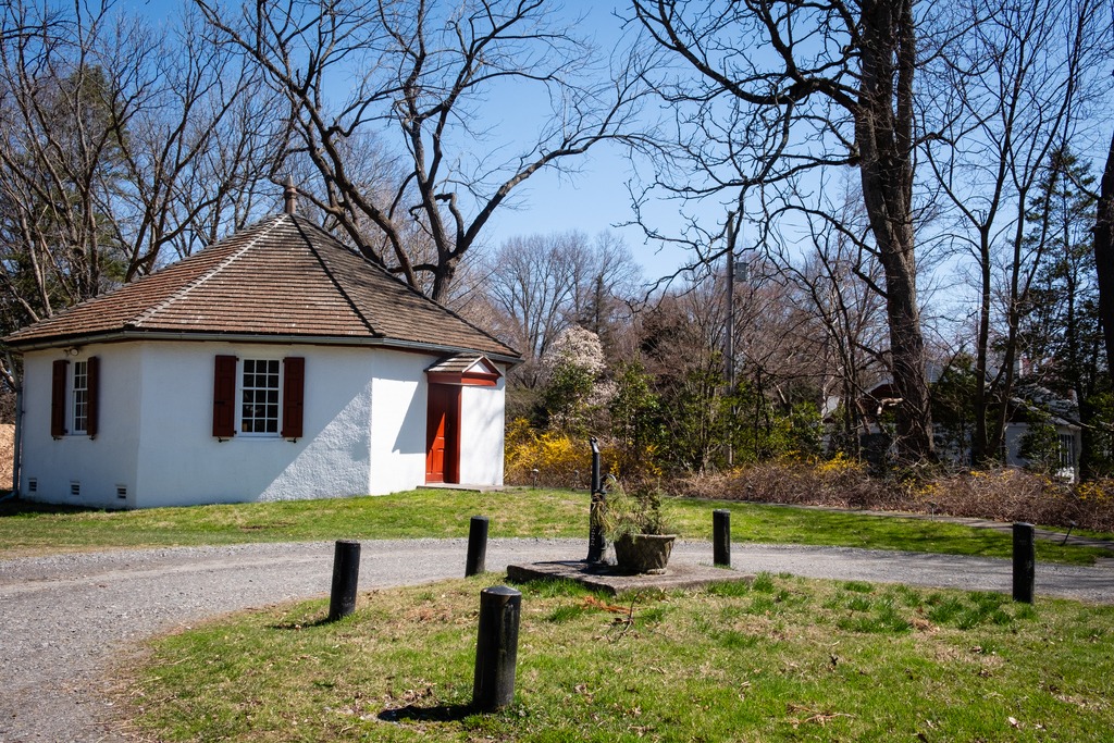
The historic site known as Archie’s Corner is nearby. It features the Bullock Octagonal School, which was constructed in 1838 on land purchased from Robert Bullock. The eight-sided plan where the design placed the teacher at the center of the room, allowing oversight of the full class. The school was sold in 1875 and a new schoolhouse was built on neighboring property.
After the sale of the school, Linda A. Archie, a Black preacher, bought the property and set about building a church on the site in 1891. “Mother” Archie’s African Union Methodist Protestant congregation met in this church until some time after her passing in 1932. A cemetery stands near the ruins of the octagonal building, but only some of the markers for the gravesites that once existed are still visible at the site.
The name Archie’s Corner is derived from a 1953 drawing of the site by famed realist painter and artist Andrew Wyeth, a native of Chadds Ford who frequently visited the site.
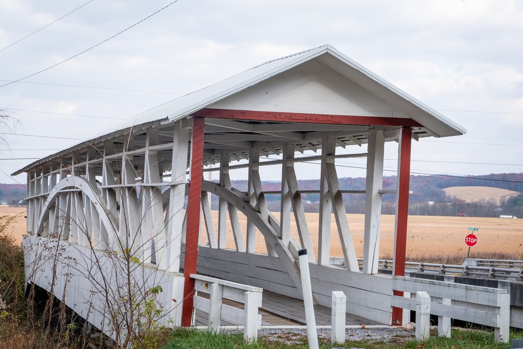
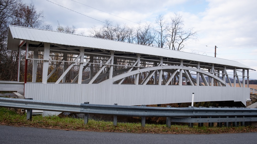
Heading south from Blue Knob, I visited several covered bridges in Bedford County. First up is the Osterburg Bowser Covered Bridge, a wooden covered bridge at East St. Clair Township. It is a 90-foot-long (27 m), Burr Truss bridge with a shallow gable roof. It crosses Bobs Creek, and it is one of 15 historic covered bridges in Bedford County. The bridge was listed on the National Register of Historic Places in 1980. It is an example of the bridges in this area that do not have complete sides.
The Osterburg Bowser Covered Bridge
I next made my way to Snooks Covered Bridge, a historic wooden covered bridge also located in East St. Clair Township Township. Built in 1883, it is a 75-foot-long (23 m), Burr Truss bridge with a shallow gable roof. It crosses Dunning Creek. It was listed on the National Register of Historic Places in (you guessed) 1980.
Snooks Covered Bridge
The Ryot Covered Bridge is wooden covered bridge that is located in West St. Clair Township. It was listed on the National Register of Historic Places in 1980. This bridge is a low to medium Burr Truss bridge with a shallow gable roof. It was damaged by fire in 2002, and reconstructed. The bridge was listed on the National Register of Historic Places in 1980.
A request to remove the bridge from the National Register was submitted after it was badly damaged by a fire in 2002. The bridge was set on fire by teenage arsonists in 2002. Most of the wooden parts of the bridge were badly damaged. The Ryot Bridge was rehabilitated only seven years earlier, so most of the added steel supports remained intact, along with the stone abutments. The bridge was restored by P. Joseph Lehman, Inc., at a total cost of $300,000.
The Ryot Covered Bridge
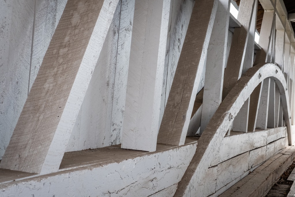
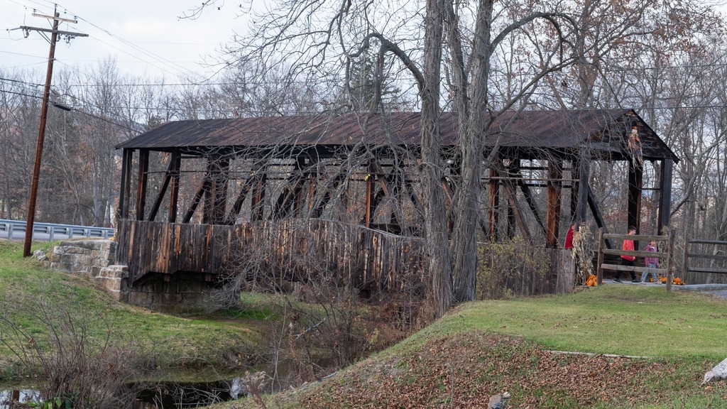
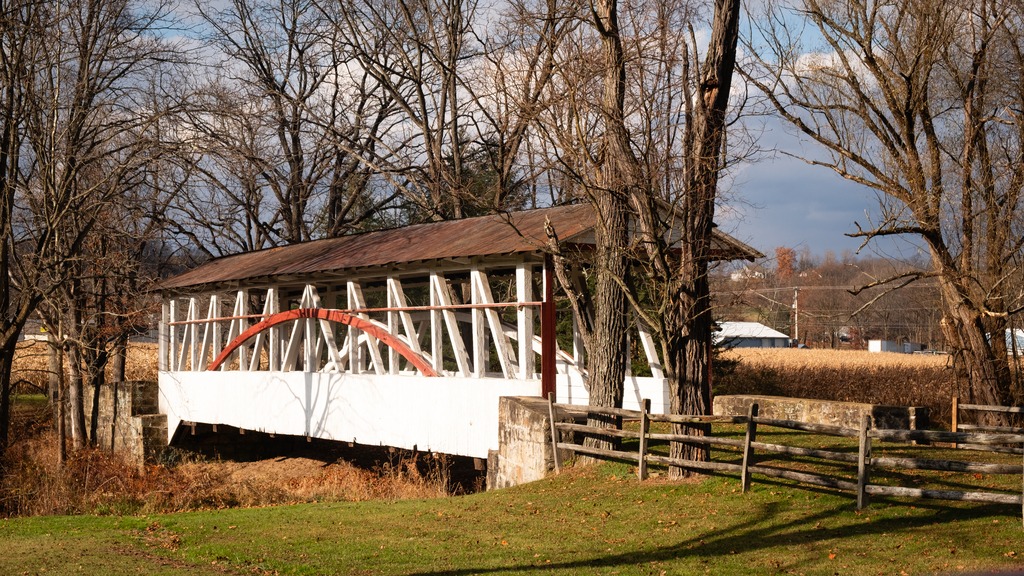
The Cuppett’s Covered Bridge, which was built by Cuppett brothers William & Philip on September 14, 1882, is a historic covered bridge that is located in Napier Township. Privately owned by the Cuppett family from the day it was built, the bridge took just five months to build for a total cost of $780. John Wayde did the masonry work, and Jeremiah Thompson completed the carpentry. Crossing Dunnings Creek, the 70-foot-long (21 m) bridge is a unique design with unusually low arches and low side walls which highlight the patented Burr Arch Truss system. The Cuppett’s Covered Bridge was listed on the U.S. National Register of Historic Places in 1980 by the United States Department of the Interior. The bridge was quite a popular spot for family photos when I was there.
The Cuppetts Covered Bridge, decorated for the season.
The Knisley Covered Bridge is a historic wooden covered bridge located at West St. Clair Township. It is an 80-foot-long (24 m), medium Burr Truss bridge with a shallow gable roof. It crosses Dunning Creek. The bridge was listed on the National Register of Historic Places in 1980.
Another westward trip in late fall gave me the opportunity to just about finish off my visits to Pennsylvania’s state parks. I headed north to Altoona from the Fort Littleton area and made a few stops along the way.
The first stop was actually a covered bridge – Hall’s Mill Covered Bridge. It is a wooden covered bridge which is located in Hopewell Township in Bedford County. It was listed on the National Register of Historic Places in 1980. The structure is a 91-foot-long (28 m), Burr Truss bridge with a medium pitched gable roof, and was built in 1872. It crosses Yellow Creek, and is one of fifteen historic covered bridges in Bedford County. It is one of several bridges that I saw in this area with open sides, except for the support beams.
After viewing the bridge, I made my way to Warrior’s Path State Park. This park is one of two near Raystown Lake that I visited. The 349-acre park lies very near the famous path used by the Iroquois in raids and wars with the Cherokees and other American Indians in southern Pennsylvania.
The park is a seasonal, day-use area open from mid-April through the end of October that is fairly small and undeveloped. At other times of the year, visitors must park near the main gate and walk into the park. The park provided opportunities for hiking, boating, fishing and picnicking, wildlife viewing and volleyball. This finger of land is bounded on three sides by the Raystown Branch of the Juniata River, which empties into Raystown Lake approximately one mile downstream. The unique shape of the park was formed as a result of river meandering. This section of the river exhibits some of the best examples of natural stream meandering in the state.
The Raystown branch of the Juniata.
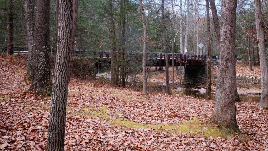
Trough Creek State Park in one of the loveliest in the Commonwealth. The 541-acre park is a scenic gorge formed as Great Trough Creek cuts through Terrace Mountain before emptying into Raystown Lake. Rugged hiking trails lead to wonders like Balanced Rock and Rainbow Falls. Rothrock State Forest and Raystown Lake border the park, making a large, contiguous area of public land for recreation. The park has a lovely campground and the usual state park activities.
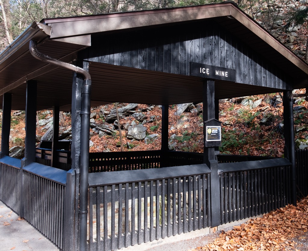
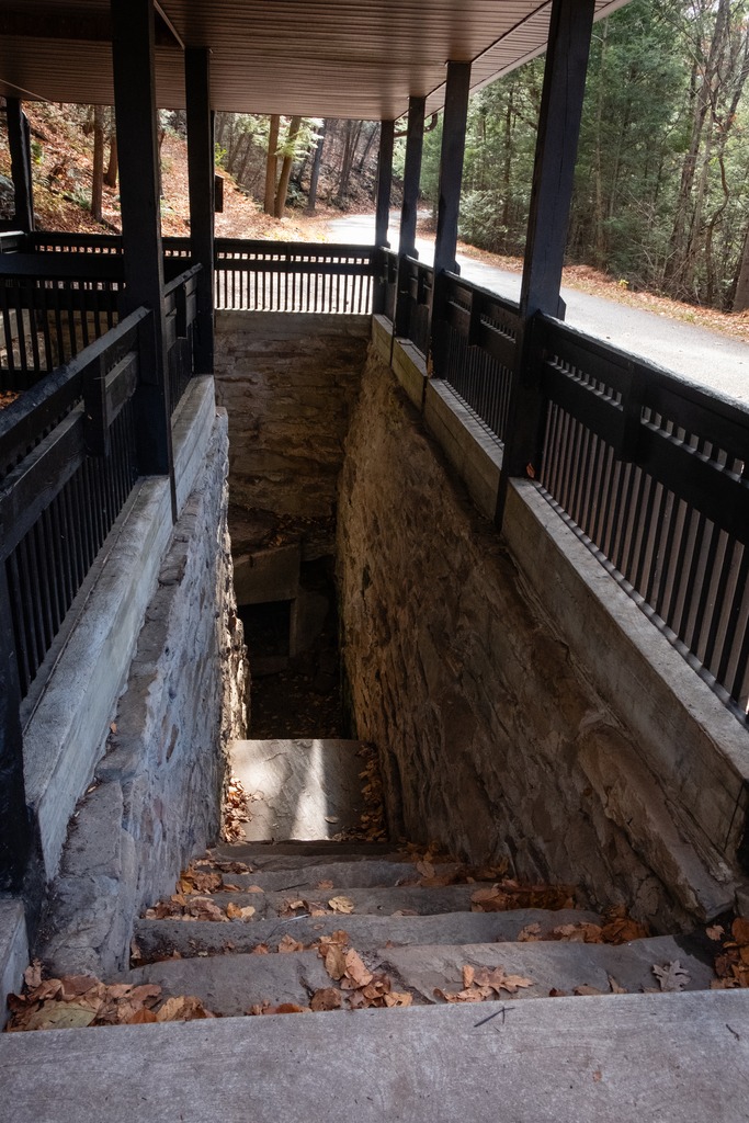
The Balanced Rock is one of Trough Creek’s best know sites.Trough CreekThe Ice MineThis park is full of interesting rock formations.
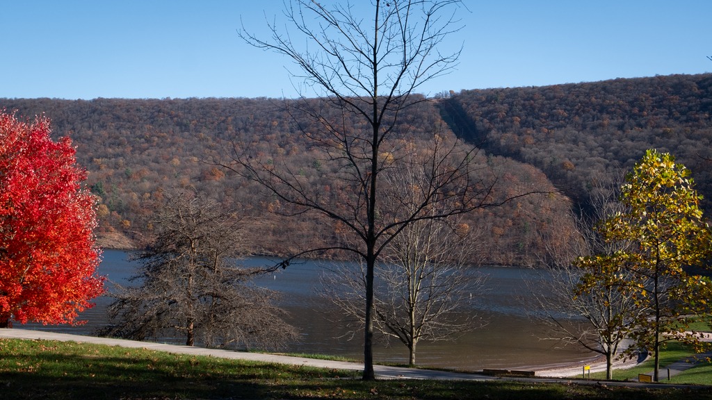
I finished my day with a brief visit to Raystown Lake, an Army Corp of Engineers facility. Raystown Lake is a reservoir in Huntingdon County, Pennsylvania. It is the largest lake that is entirely within Pennsylvania. The original lake was built by the Simpson family of Huntingdon as a hydroelectric project. The current 8,300-acre, 27 mile long Raystown Lake was completed in 1973 by the Army Corps of Engineers. The popular lake offers opportunities for boating, fishing, camping, hiking, swimming, and scenic beauty.