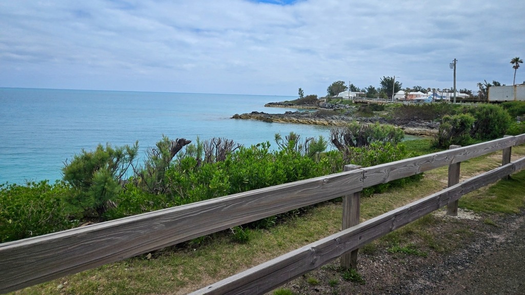
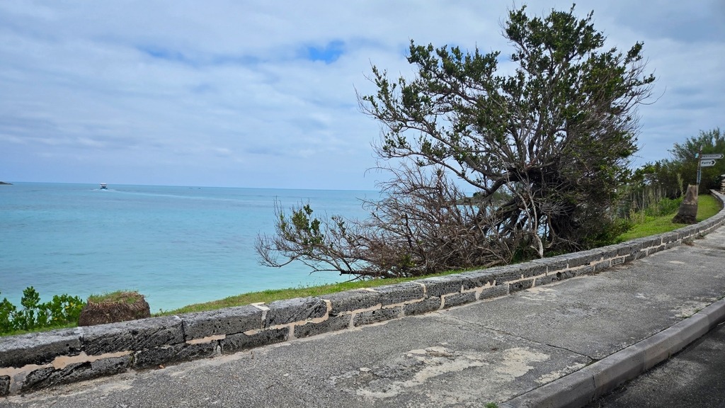
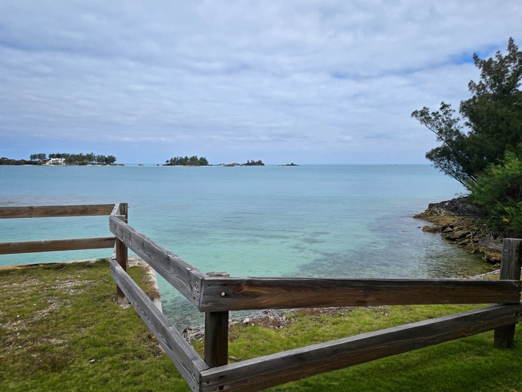
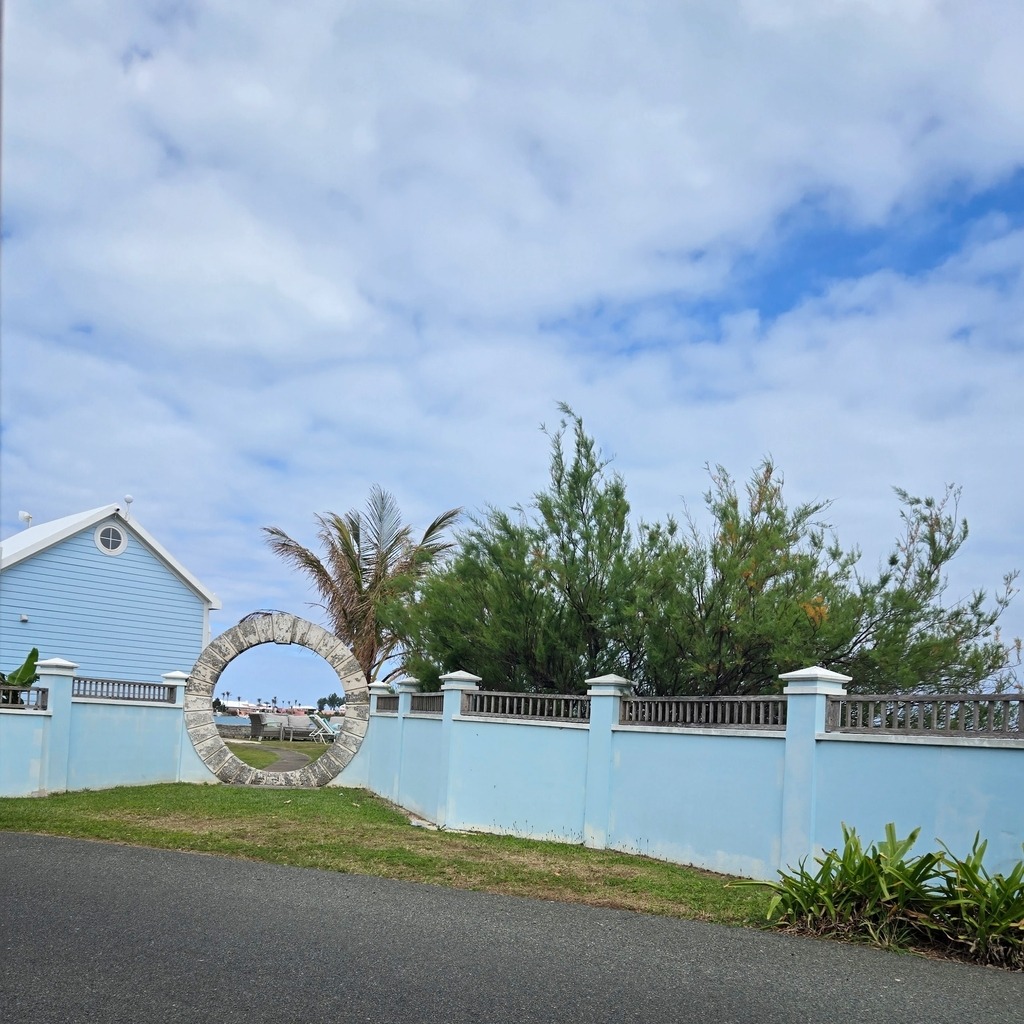
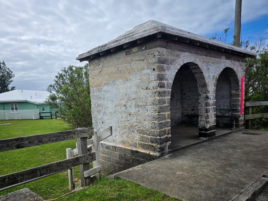
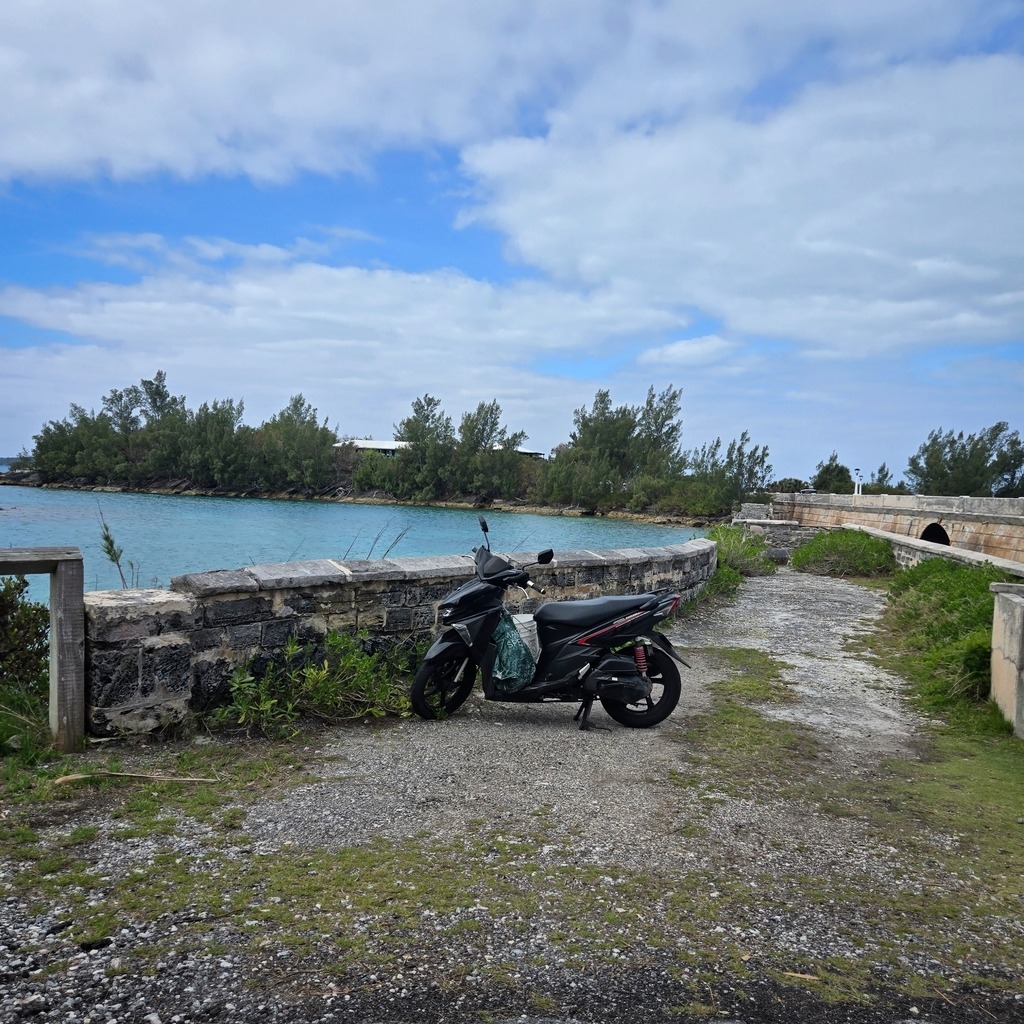
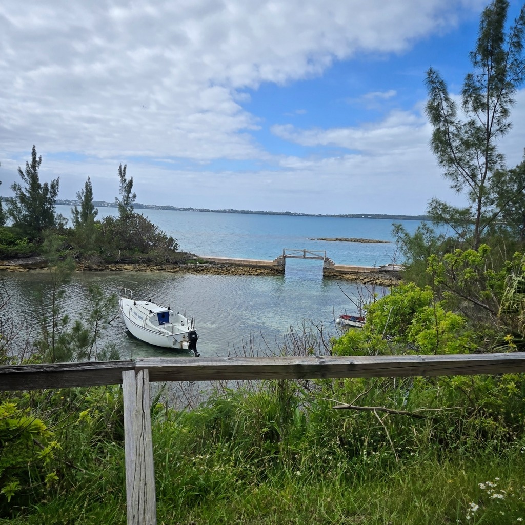
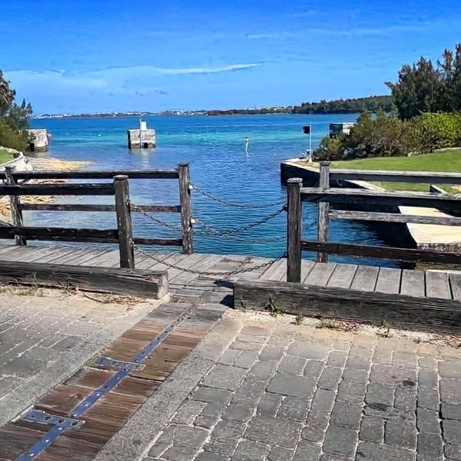
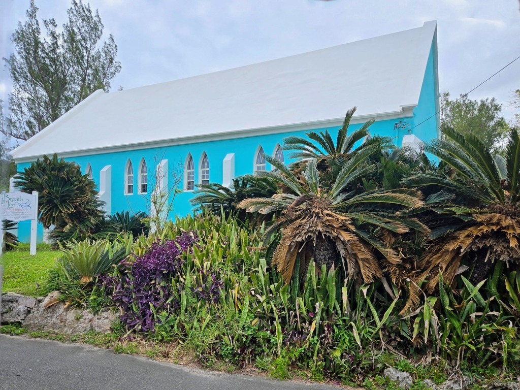
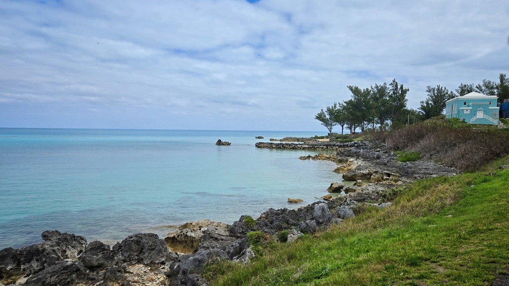
The following post (and two more to follow) are from a recent cruise to Bermuda which I took in mid April. The first entry is from a trolley tour around the West End of Bermuda near the Royal Naval Dockyard and Somerset Parish. Even though the weather was overcast, there were still some lovely coastal views.
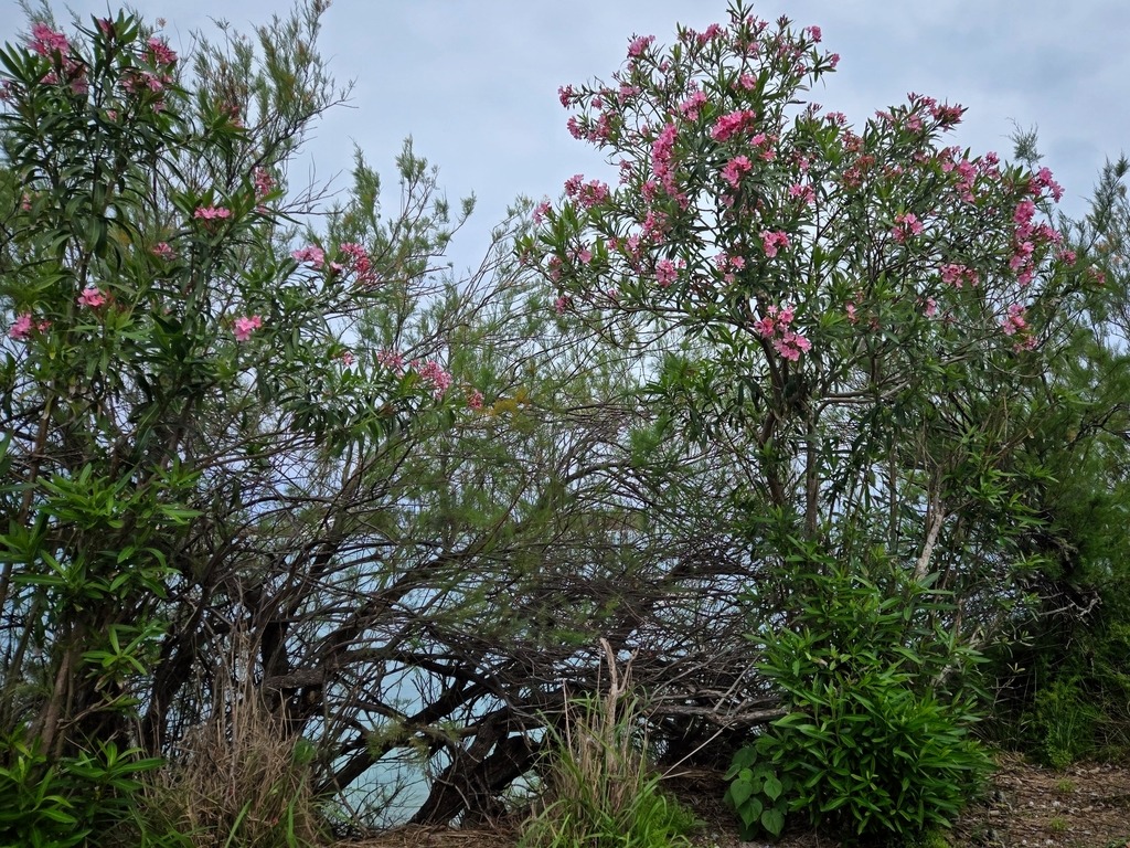
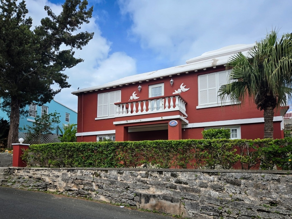
One of the famous Bermuda Moon Gates.Old bus shelter of Bermuda limestone.I love the colorful buildings here.The world’s smallest drawbridge – from a photo of a fellow traveller.
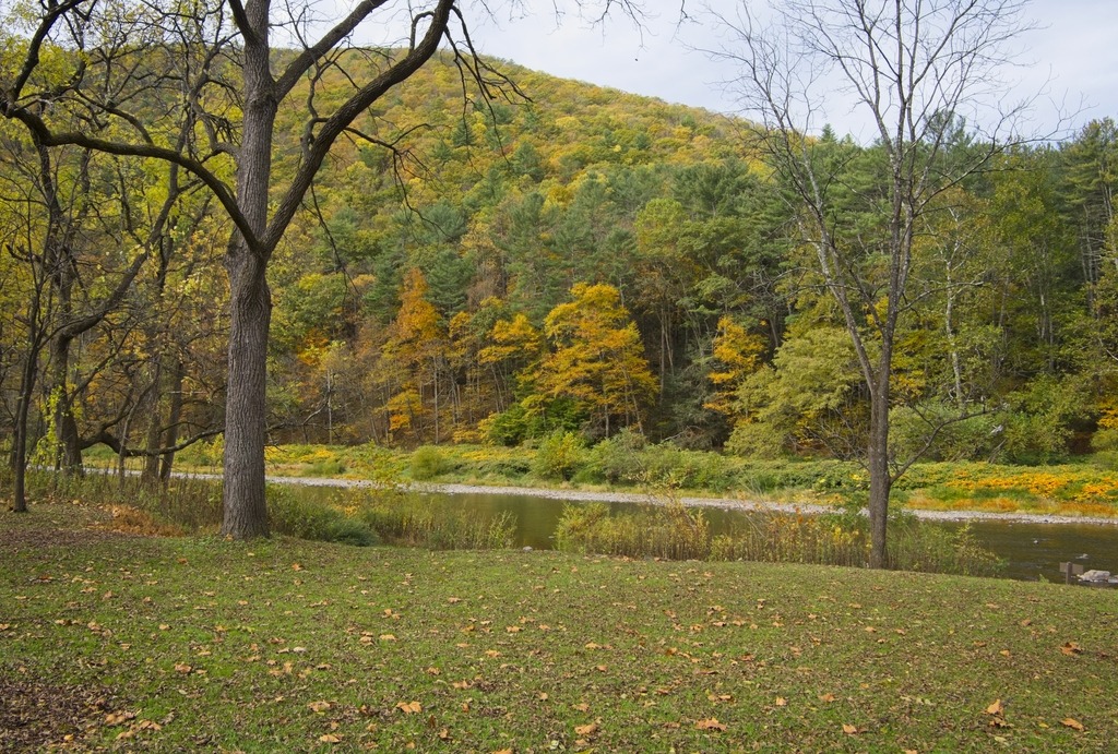
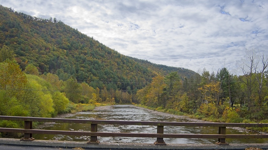
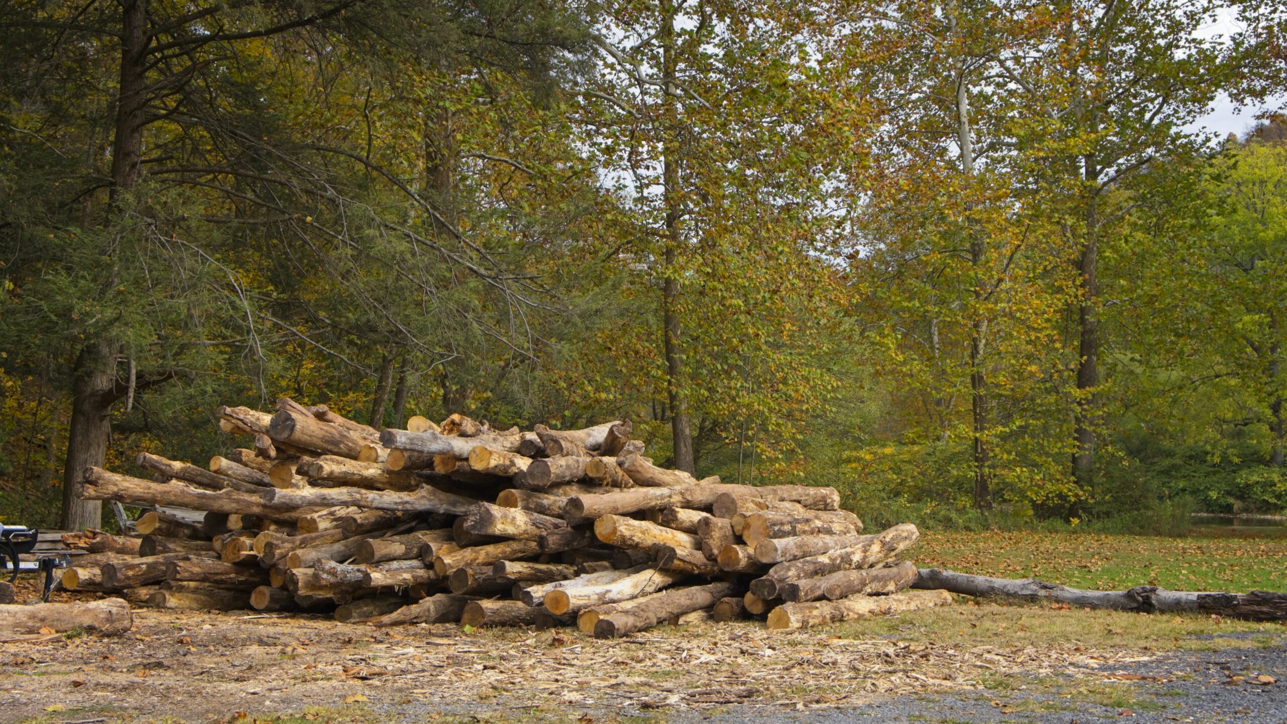
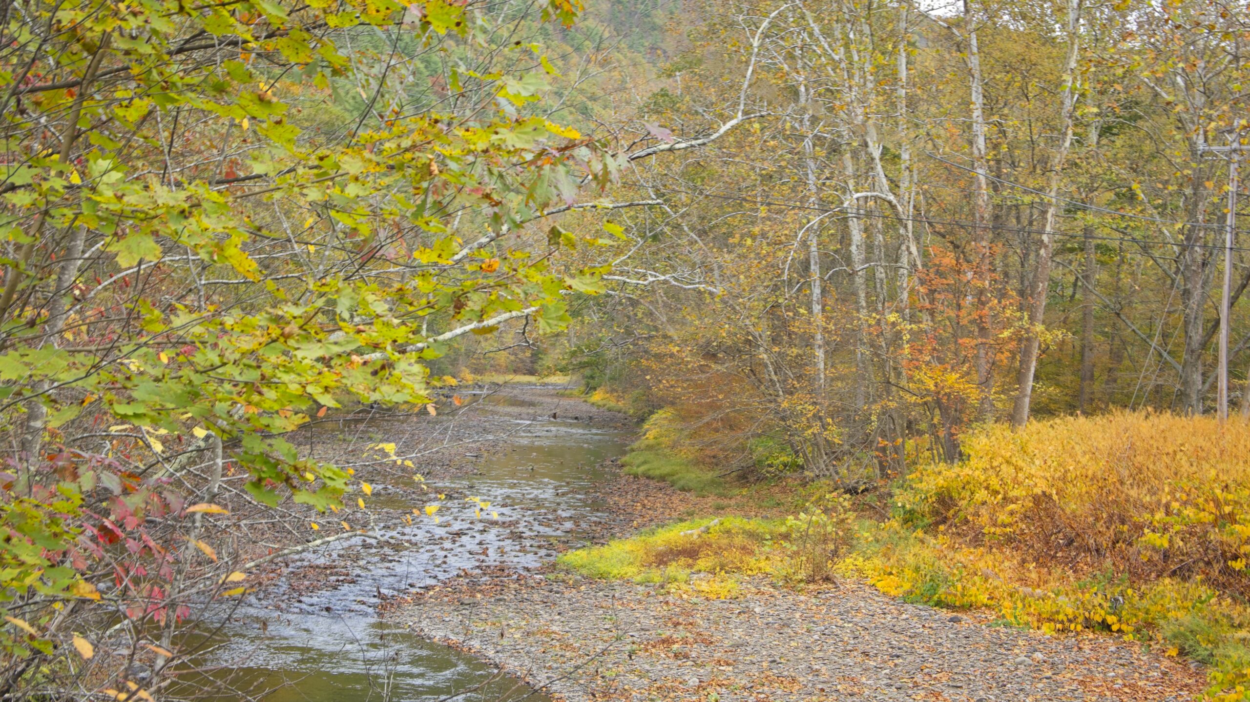
Near Waterville, Route 414 turns north up the Pine Creek valley. The southern part of this valley feels wider and has more towns along the banks of the stream. Most of this area is still in Lycoming County until just south of Blackwell. The Pine Creek area was the site of major logging activity from the late 18th through early 20th century and is now a major hub for recreation. Much of the now second-growth forest is protected by a network of parks, state game lands and state forest,
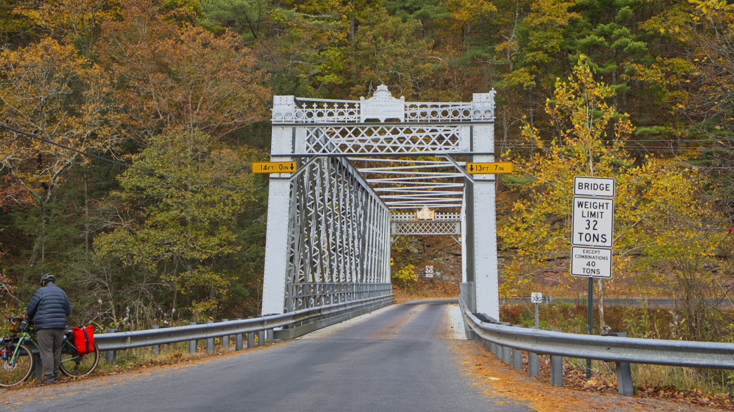
The aptly named “Bottom Lodge.”There are several points to launch small boats into Pine Creek and access the Rail Trail.From the bridge at Slate RunHilborn Iron Bridge
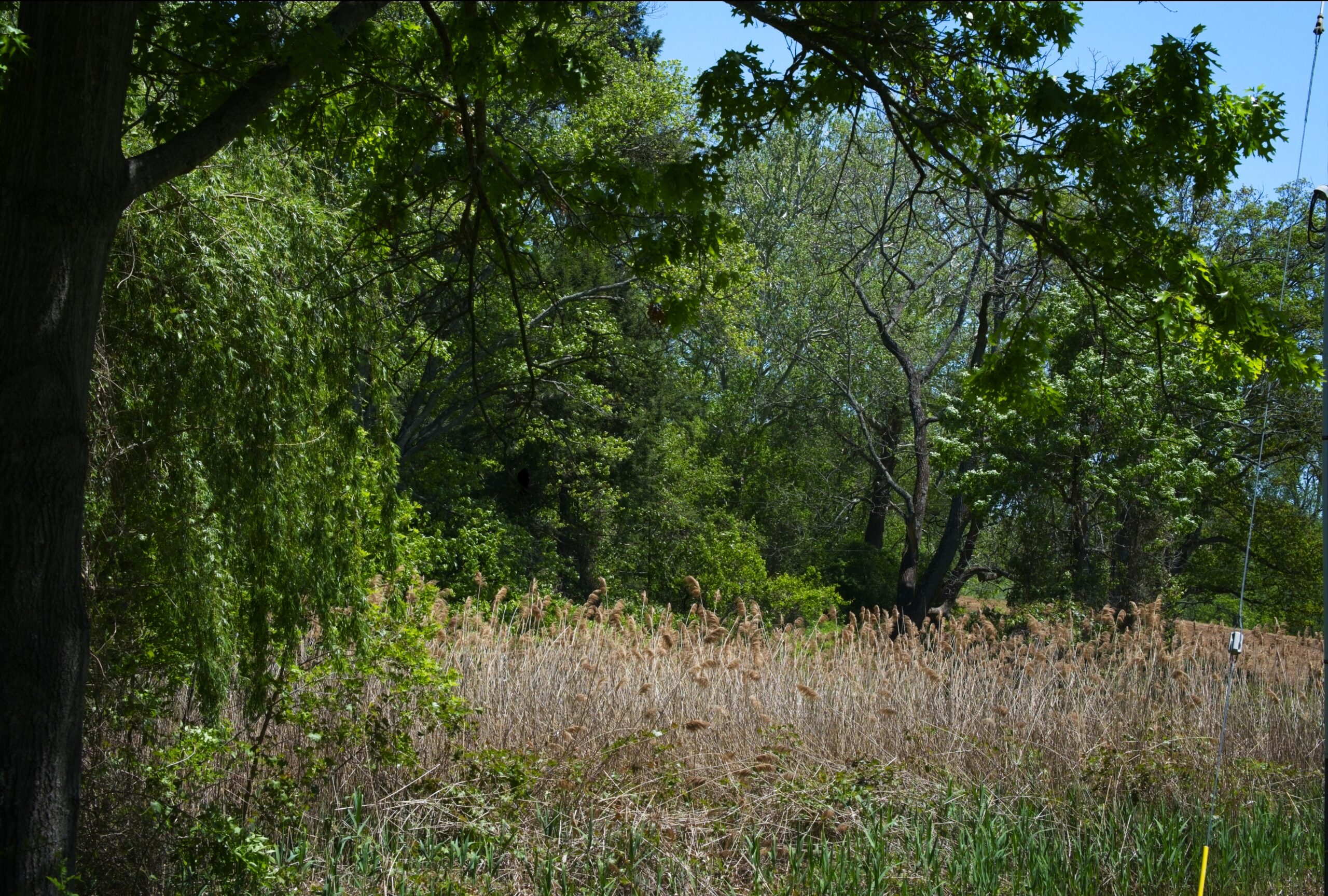
The Willows Park Preserve in northwestern Delaware Country has been a popular spot for birding, fishing, picnicking and walking for decades. Built in 1910, the Willows Mansion is surrounded by 47.5 acres of public park with water, meadow, woodland and garden views. Closed for nearly a decade, the deteriorating mansion sits idle while park life carries on. However, efforts to restore the Mansion are ongoing. It was once a very popular wedding reception venue.
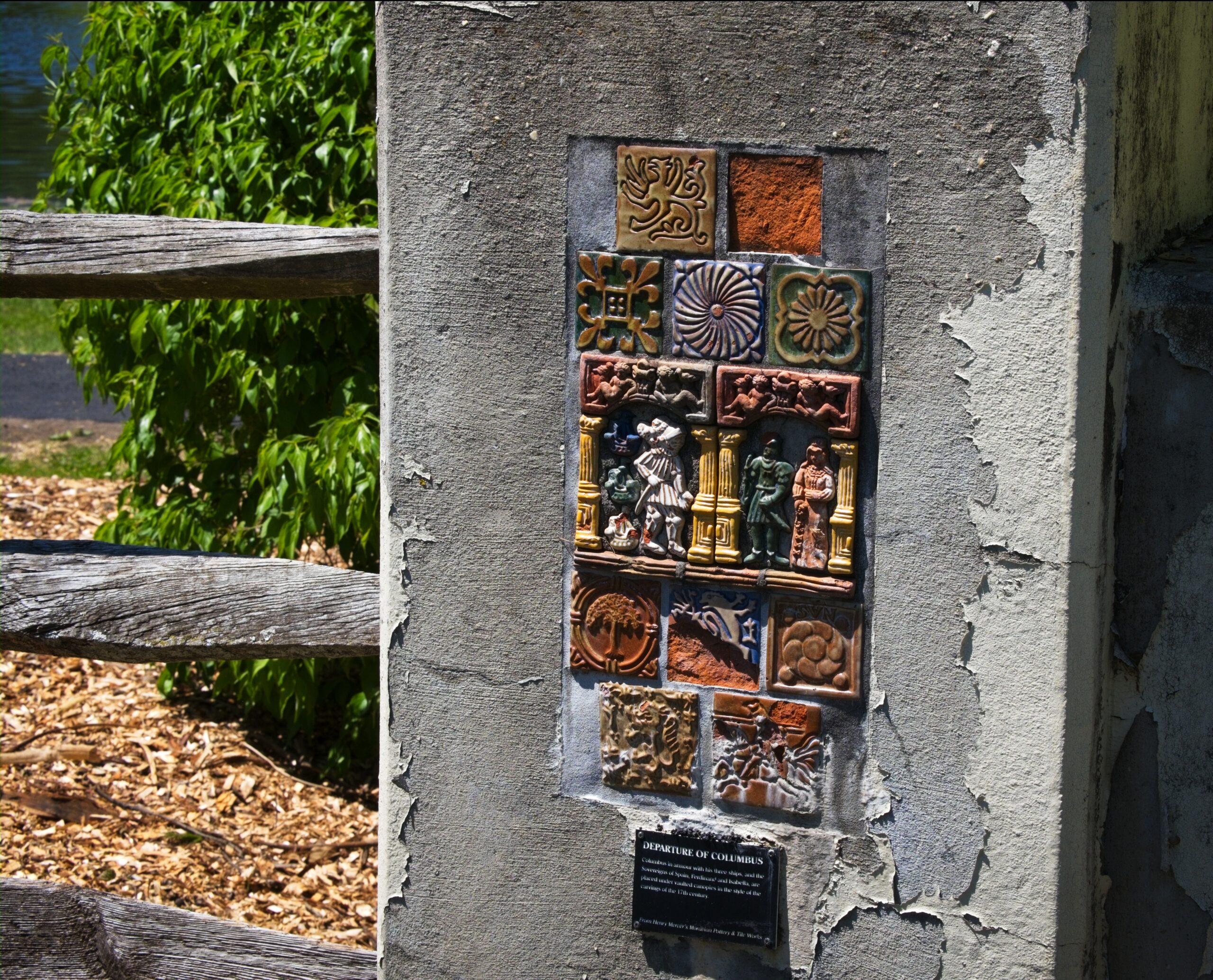
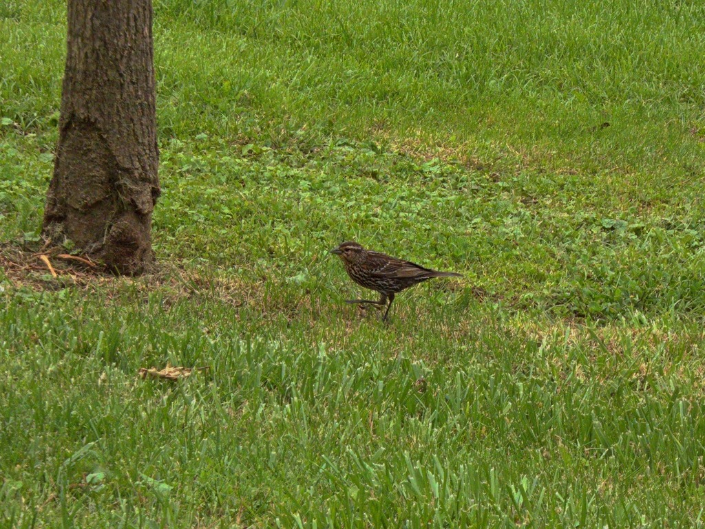
The pond, fed by Little Darby Creek, is popular with fisherman. The stream is stocked.Who you looking at?Some interesting tiles on the bridge over Little Darby.He’s behind me, right? Parent Robin pursued by begging fledgling.A good look at a fledgling robin.Looks like a female red-winged blackbird.
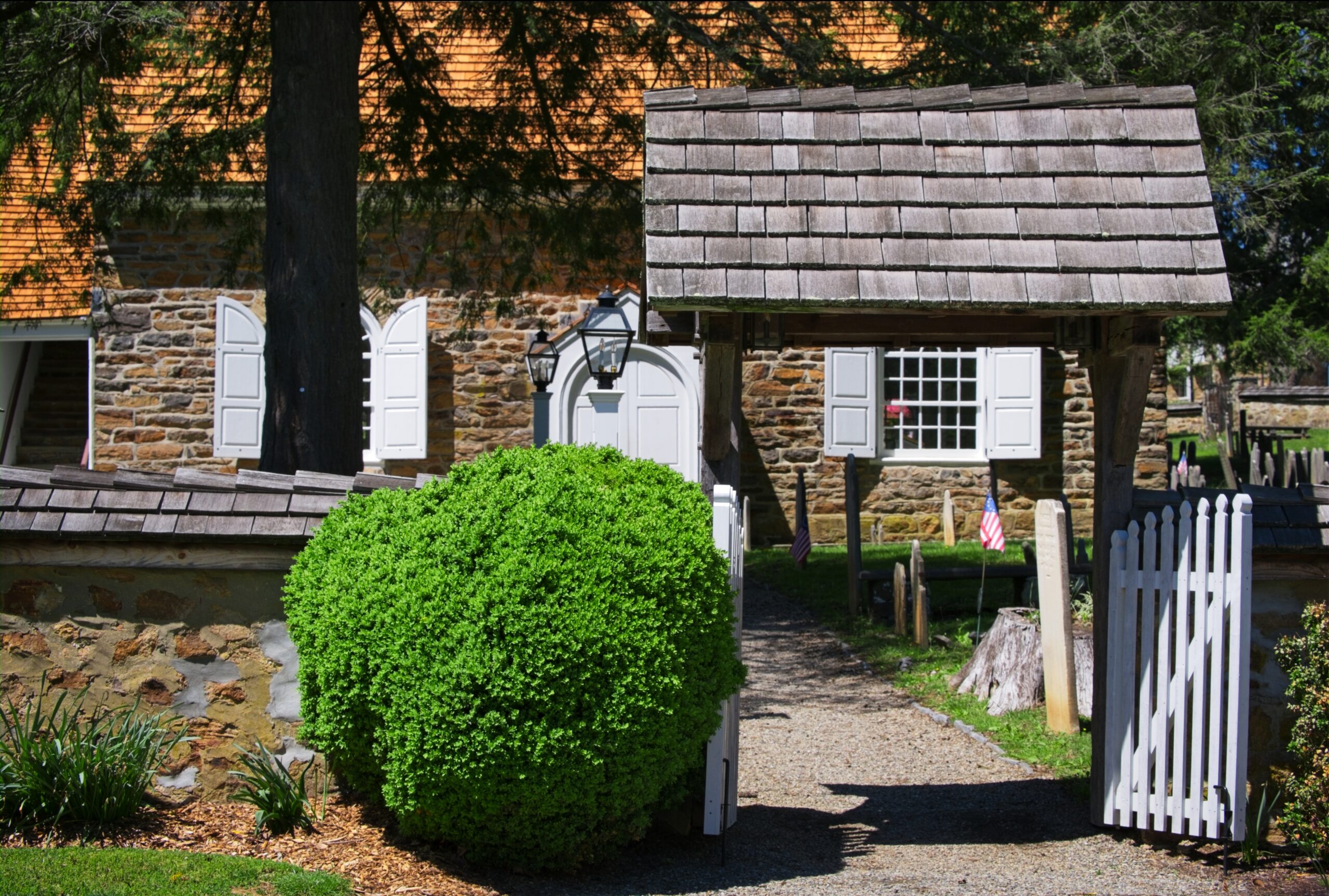
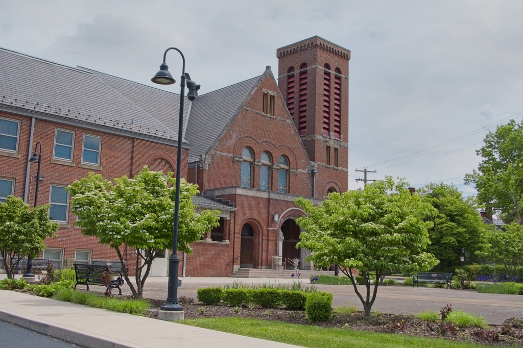
I made another stop that day at St. Davids Church, which lies mostly within Radnor Township, Delaware County. The parish is more than 300 years old. Toward the close of the seventeenth century, a hardy group of Welsh colonists settled in an area which became known as Radnor. In 1704, a 100-signature petition for Welsh prayer books and a Bible, but more particularly for a Welsh-speaking missionary, was dispatched to the Society for the Propagation of the Gospel in London. Ten years later, in return for this long-awaited recognition, the settlers “heartily engaged themselves to build a handsome stone church,” to be named after the Patron Saint of Wales. The cornerstone was laid on May 9, 1715.
With the coming of the Revolution in the colonies, a rapidly swelling wave of resentment against the Church of England arose among the patriots of the congregation. A leader of this opposition was Anthony Wayne, later appointed major general of the American forces, who is buried in St. David’s historic churchyard. The church building provided shelter for soldiers of both sides.
A view of the original church.The churchyard is a tranquil place.Some lovely color on these trees in late Spring.As an old church, there are some interesting mausoleums.
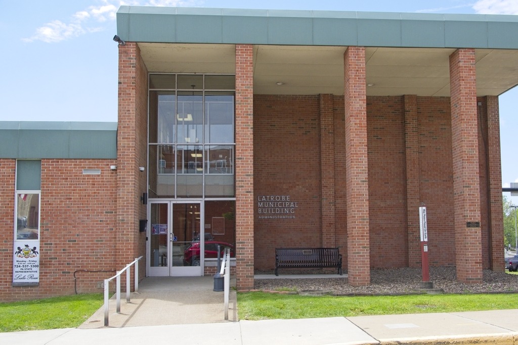
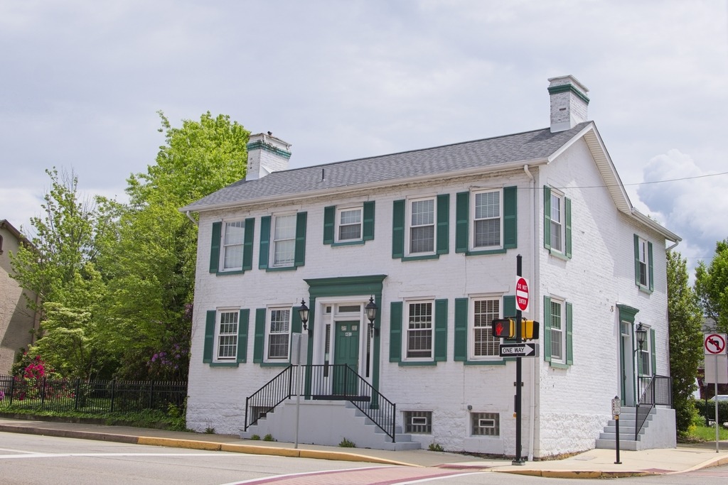
Latrobe is a city in Westmoreland County, with a population of 8,060 as of the 2020 census. Latrobe was incorporated as a borough in 1854, and as a city in 1999.
Latrobe is known as the home of the Latrobe Brewery, the original brewer of Rolling Rock beer. Latrobe was also the birthplace and childhood home of children’s television personality Fred Rogers and former professional golfer Arnold Palmer. The nearby airport is named after Palmer.
The banana split was invented in Latrobe by David Strickler in 1904. The city is also home to the training camp of the Pittsburgh Steelers. Latrobe was long recognized as the site of the first professional American football game in 1895 until research found an 1892 game with paid players.
The banana split is claimed to have been invented in 1904 in Latrobe by David Evans Strickler at the pharmacy that later became named Strickler’s Drug Store. In 2004, the National Ice Cream Retailers Association certified Latrobe as the birthplace of the banana split. The town holds an annual festival in honor of the dessert.
The train station, listed on the National Register of Historic Places.Latrobe Presbyterian Church.
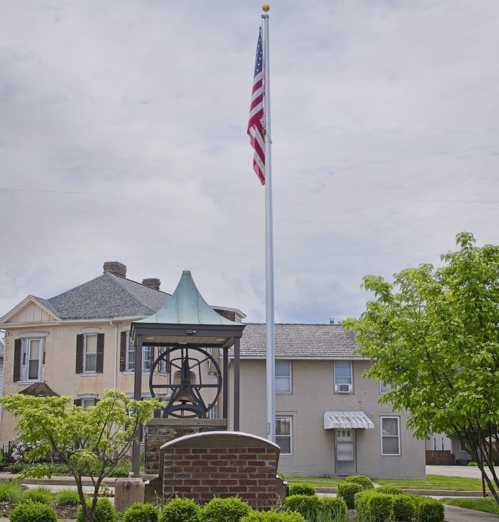
I made my way into Lycoming County back in September. Before we head there, here are some remaining shots of Sullivan County, featuring the town of Muncy Valley. This particular house, on a sharp turn on Route 42, is always decked out with lots of flowers, in season.
The view from the firehouse across the road.
I travelled into Lycoming County on this trip because I specifically wanted to see Rose Valley Lake, which is known as a birding area. The lake is a reservoir that covers 389 acres (1.57 km2) in Gamble Township. The three-hundred-and-sixty-acre artificial lake is owned by the Commonwealth of Pennsylvania, and was given its name, “Rose Valley Lake,” in May 1973 by the Pennsylvania Fish Commission, following approval by the commonwealth’s Geographic Names Committee. Created by the Pennsylvania Fish Commission, via the construction of a twenty-five-foot-high, four-hundred-and-ten-foot-long earthen dam on Mill Creek in Lycoming County, Pennsylvania, Rose Valley Lake is a three-hundred-and-sixty-acre artificial body of water. The most common game species of fish in the lake are largemouth bass, bluegill, black crappie, muskellunge, yellow perch, chain pickerel, pumpkinseed and walleye.
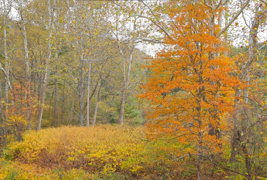
The area around the lake is quite scenic.A small church in Lycoming County.A valley farm.Another interesting old church.Mt. Zion Lutheran Church. A lot of ancestors and relatives are buried here.Eating lunch at the Lairdsville Cornerstone Restaurant.An interesting player piano.And an old stove.
Finally, the Lairdsville Covered Bridge is a wooden covered bridge over Little Muncy Creek in Moreland Township, Lycoming County. It was built in 1888 and placed on the National Register of Historic Places in 1980. It is also known as the Frazier Covered Bridge. The window with the exposed beams is a unique feature.
The annual weekend trip to Lake Naomi in the Poconos was blessed with lovely weather – and I got to extend it by a day. Here are some views of the lake.
A panorama of the same area.This woman with three small dogs was quite the character.St. Nicholas Byzantine Catholic Church in nearby Pocono Summit. I’ve always been fascinated by this Church and decided to take a closer look.
Get ready – the upcoming posts contains a lot of covered bridges. We will also continue the two-per-week schedule of new posts.
I used the extended July Fourth holiday to take another trip to the Laurel Highlands. The trip started with an exit of the Pennsylvania Turnpike at Breezewood to see some covered bridges. The first stop of the trip was Jacksons Mill Covered Bridge, a wooden covered bridge located in Bedford County. It crosses Brush Creek and is a 91-foot-long (28 m), Burr Truss bridge, constructed in 1889. It is one of 15 historic covered bridges in Bedford County. The bridge was listed on the National Register of Historic Places in 1980.
There is also a very nice old mill building at this site.
Nearby is Feltons Mill Covered Bridge, which is another wooden covered bridge located in Bedford County. It is a 105-foot-long (32 m), Burr Truss bridge with a medium pitched gable roof, constructed in 1892. It also crosses Brush Creek. It was listed on the National Register of Historic Places in 1980.
I was not able to get a good photo of this bridge, as the entrance appears to be on private property. The access road had a rope across it and appears to terminate a short distance from the main road. The bridge might be viewable from the nearby main road bridge when the trees are not leafed out, However, this random haybale was sitting nearby, and you know I can’t resist a good haybale.
My drive around the Breezewood area also produced some other interesting sights, such as this interesting looking Church, with a very minimalist style.
More haybales of course.This old silo looked like a castle tower, if you squint.
My mother grew up in Pittsburgh, but my grandmother’s family were Slovak coal miners who settled in the town of Perryopolis. I finally got to visit this town recently, although I probably should have made more if an effort when I lived in Pittsburgh back in the early 90s.
George Washington purchased 1,644 acres (6.65 km2) here when land first became available. He visited in 1770 and said, “as fine a land as I have ever seen, a great deal of rich meadow; it is well watered and has a valuable mill seat.” The mill would eventually be completed in 1776. Once the mill was finished, it encouraged other business to come to the area to support and augment the business of the mill.
Washington hoped to develop the remainder of Perryopolis, drawing up plans for the streets to be laid out in the shape of a wagon-wheel. Washington’s estate sold the land after his death; in 1814 Perryopolis, previously known as “New Boston”, was officially laid out using Washington’s plans and named for Oliver Hazard Perry for his victory on Lake Erie during the War of 1812.
In the late 19th century, the area around Perryopolis was first mined for coal. Until the 1950s, coal industries would be the area’s primary economic activity, served by the Washington Run branch of the P&LE Railroad that continued on to Star Junction. However, Perryopolis developed differently from other nearby mining towns. Instead of housing laborers, Perryopolis was mainly inhabited by foremen and white collar workers who were associated with the mining industry.
An unexpected town square.
The Gue House in Perryopolis, PA is a log home originally built sometime around 1820 and then reconstructed in 1976. The Gue House is the only log home still standing in Perryopolis and represents the type of house built by early settlers of the town. No exact date exists for this structure but it was of the early 1800’s. This is the type of home one of the first settlers of Perryopolis would have lived in. Local legend has it that this was the first complete two-story log cabin in Pennsylvania. It is owned by the Perryopolis Parks and Recreation Authority and operates as a part of the Time Gift Shop and Visitors Center, and currently houses the Gue House Gallery.
The Gue House, the only remaining log home.
St. Nicholas Byzantine Catholic Church, also known as St. Nicholas Greek Catholic Church, is an historic Catholic church. It was built between 1912 and 1918, and is a 30 feet by 60 feet yellow brick building in the Byzantine Revival style. It has a cruciform plan and the gabled roof is topped by four onion domes. The church served a community of Rusyns who originally settled in the area prior to 1907. It was added to the National Register of Historic Places in 1997.
St. Nicholas Byzantine Catholic Church, one of the town’s several buildings on the National Register of Historic Places.St. John the Baptist Catholic Church
I managed to take a short drive around Erie during the time I was there.
The Bicentennial Tower on the waterfront.The best view I could get of the brig Niagara since the maritime museum was closed at the time.The Erie Land Lighthouse.High and dry.The beautiful Russian Old Rite Orthodox Church.
The following two historic homes were moved and reconstructed on their current sites.
VON BUSECK HOUSE — C. 1815 This saltbox-style farmhouse was built c.1815 in west Millcreek on what is now known as 5021 West 38th Street, south of Wheaton Road. The land was owned by Irish immigrant John Nicholson (1764–1828), and the family of John Wheaton owned the building for a time. For over 150 years it was owned by Louis Von Buseck (1812–1893) and his descendants. Louis was born Ludwig Heinrich Von Buseck in Germany, the second son of Baron Carl Philip Von Buseck.
The Von Buseck House.
HON. JUDAH COLT HOUSE — C. 1820 One of Erie County’s earliest citizens, Hon. Judah Colt (1761–1832), settled at what is now known as Colt Station in 1796. He moved to the Borough of Erie in 1804 as the agent for the county’s first land developer, Pennsylvania Population Company. Colt served as burgess of Erie in 1813 and 1820–1821. He built this Federal-style house c.1820 at the southwest corner of East 4th and French streets where he entertained the Marquis De Lafayette (1757–1834) on June 3, 1825. This was also home to his nephew Thomas G. Colt (1805–1861), the last Burgess and the first mayor for the city of Erie. The house was moved to 345 East Front St. in 1890.