

The Spring birding season led to another trip to Marsh Creek State Park in Chester County. The park was active with boaters getting ready for the season in relatively nice weather for May.
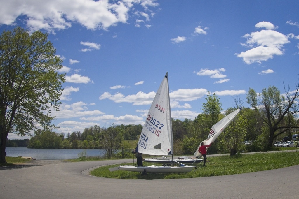
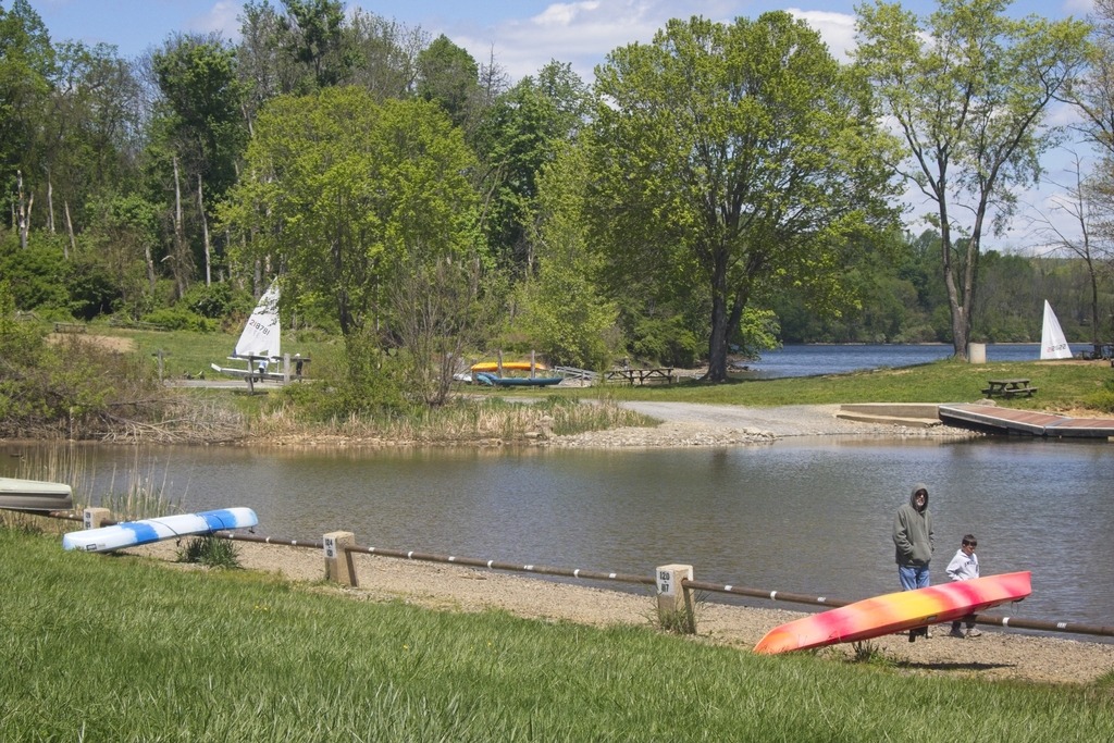
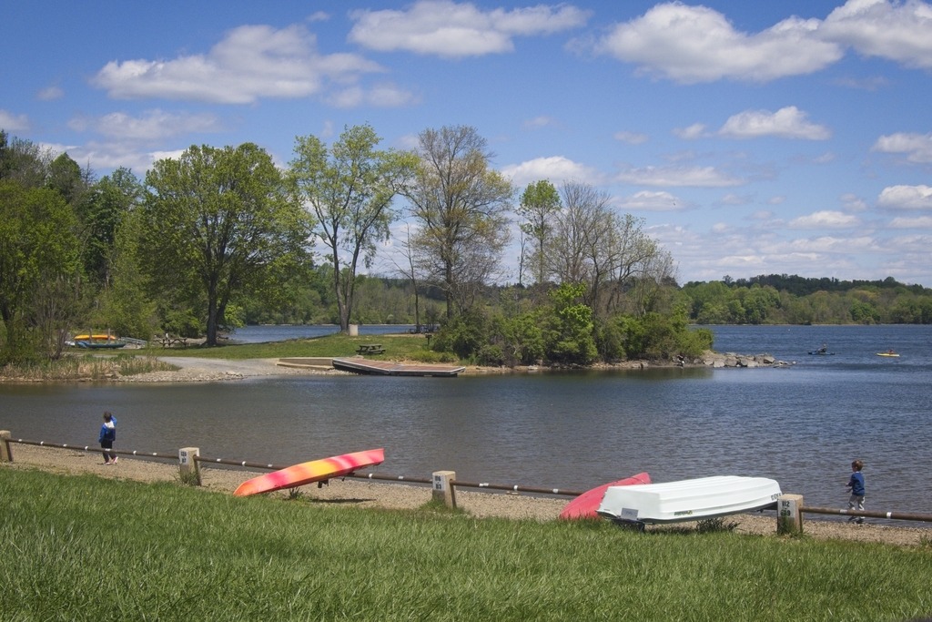
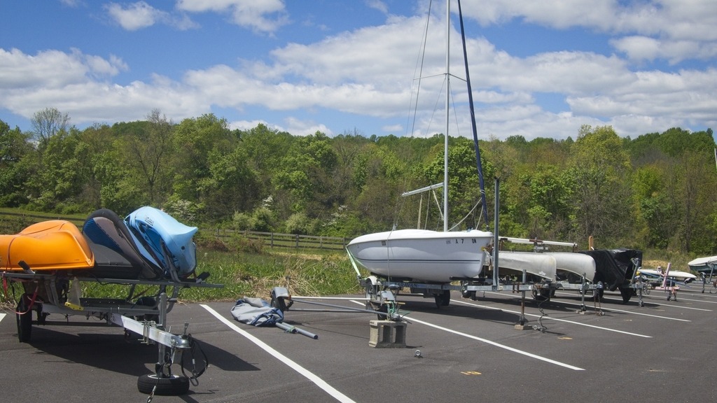
The Spring birding season led to another trip to Marsh Creek State Park in Chester County. The park was active with boaters getting ready for the season in relatively nice weather for May.
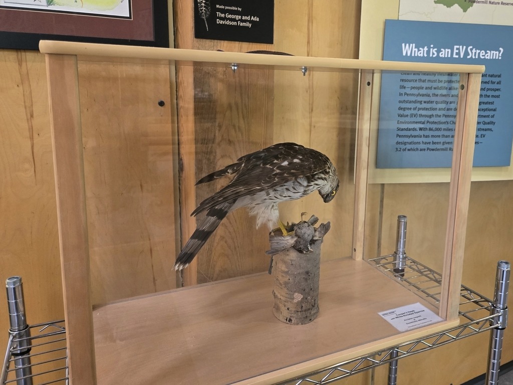
Powdermill Nature Reserve is an environmental research center that is operated by the Carnegie Museum of Natural History.
Established in 1956, Powdermill serves as a field station for long-term studies of natural populations, and now forms the core of the museum’s Center for Biodiversity and Ecosystems. The reserve encompasses 928.17 hectares, which includes forests, fields, developed land, and ponds and streams.
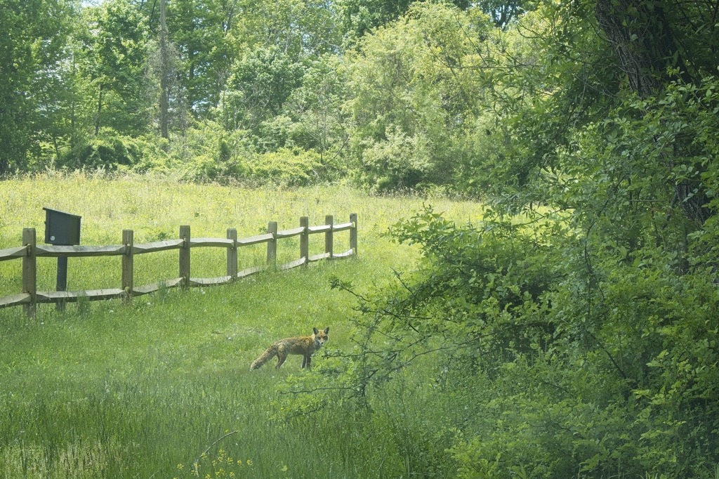
It is located in the Laurel Highlands, near Rector, Pennsylvania and is well known for its avian research. The Center is one of the longest continually-running bird banding stations in the United States. I had visited on a previous trip, which you can read about here.


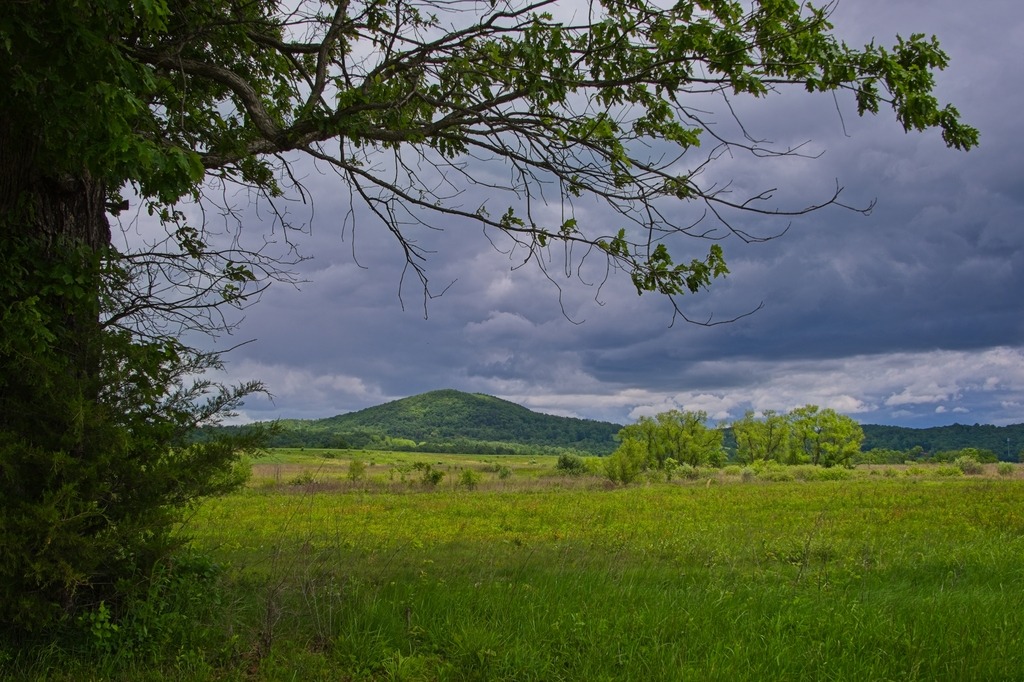
One of my favorite day trips is to Middle Creek Wildlife Management Area, a near 6,000 acre tract managed by the Pennsylvania Game Commission primarily for waterfowl, grassland nesting birds, and wetland dependent species. The facility hosts an interactive visitor center, seasonal wildlife driving tour, and over twenty miles of hiking trails. There are other recreational activities available such as wildlife viewing, boating, special hunts, and picnicking. Middle Creek is one of just six Globally Important Bird Areas in the state and straddles Lancaster and Lebanon counties.
I particularly like the view of these hills from the wildlife driving tour road.


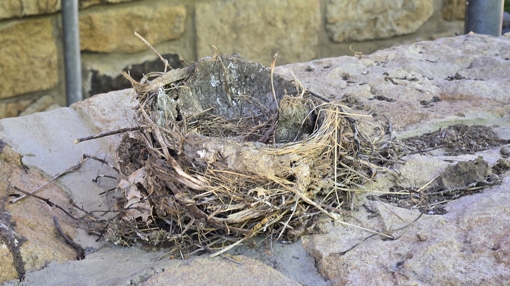
Pictured below are the regular visitors to my cabin at Linn Run State Park. I also heard a lot of birdsong around th cabin in mid May, and the surrounding park and forest has an abundance of wildlife. The bird watching on the trip was a success, chalking up a few more birds for my life list and registering a large number of species (for me at least).


It was interesting to see a photography exhibit at the Brandywine Museum of Art. “Robert Frank and Todd Webb: Across America, 1955” ran from February 09, 2025 to May 08, 2025. I made a point of seeing it before it left.
More details about the exhibit can be found at the Museum’s website. In 1955, two photographers, Robert Frank and Todd Webb, received separate fellowships from the Guggenheim Foundation for U.S. survey projects. The exhibit includes over 100 photographs from these fellowships.
This is the type of documentary-like photographic work that I find interesting. Webb stated that he wished to “depict vanishing Americana and what is taking place” – sentiments in line with what I am trying to achieve with this blog. Much of the small town and rural landscape continues to be eaten up by development, and documenting this moment in time is very important.
I ended up recording a lot more of Webb’s work, which is better composed and exposed compared to the grainy, off-kilter work of Frank. Frank’s work is, however, better known and often depicts the grittier side of American life. Webb’s work has more of a nostalgic, Rockwell-like feel. The works encompass photos from Portland, Maine to New York City to San Francisco and everywhere in between. I was pleasantly surprised to find several work depicting Pennsylvania by Webb. If you can find a catalog, several other shots taken in the state are included.
Apologies for the light blub reflections here. I am still getting used to some new photo processing software. I have just done some cropping and straightening of camera phone photos.


Now, for some fun. Here are some of my favorite pieces from the Museum.


The annual weekend trip to Lake Naomi in the Poconos was blessed with lovely weather – and I got to extend it by a day. Here are some views of the lake.


Somerset County definitely has some different looking barn stars, This lacy looking white design seems to have been particularly popular.


The Bedford County area has some interesting rural scenes, such as this barn with an unusual star made from repurposed farm equipment.


The town of Bedford contains some interesting sights for the traveler. The Bedford Village Archeological Site is an archaeological site was once occupied by a Monongahela culture village. Today, the site is the location of Old Bedford Village, an open-air museum, containing a variety of historic structures transported to the site from the surrounding towns of Bedford, Everett, and Rainsburg.


Adjacent to Old Bedford Village is the Claycomb Covered Bridge. It was was built in 1880 in Reynoldsdale and was moved to its present location in 1975. It is a burr truss design, 126 feet long, which has been reinforced with steel to support bus traffic that frequents Old Bedford Village. The structure is unpainted and the roof is constructed of Cedar shakes. The deck consists of crossboard planks and the sides are totally enclosed. It sits on poured concrete abutments.


Near the entrance to Old Bedford Village, I couldn’t resist a stop at the Penguin, which has a large menu of hard and soft ice cream and other treats.


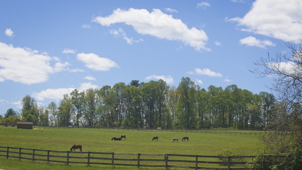
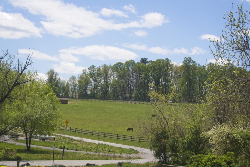
The Lancaster County livestock were out enjoying a lovely Sunday afternoon, including a couple of colts with their moms.


