Blue Knob State Park offers year-round wilderness adventures on 6,128 acres of woodland. The park is best know for the ski area of the same name, which is on the tallest mountain used for skiing in the state. The park is in the northwestern tip of Bedford County, west of I-99. The elevation of the park can cause air temperatures to be several degrees cooler than the surrounding cities. The annual snowfall averages about 12 feet. One of the unique features of the park is the solitude it provides the visitor. There are many opportunities to enjoy the quiet and refreshing serenity of the mountains and streams. There is camping, hunting, and fishing here (along with the skiing). There is also a golf course at the base of the ski resort.
The park office.I wasn’t expecting to find a swimming pool here.An old barn that looks like it is now being used for storage.Blue Knob is actually a massif with subsidiary peaks.The ski lodge.More views of the ski area.
Just west of Altoona, the Horseshoe Curve is a three-track railroad curve on Norfolk Southern Railway’s Pittsburgh Line in Blair County, Pennsylvania. The curve is roughly 2,375 feet (700 m) long and 1,300 feet (400 m) in diameter. Completed in 1854 by the Pennsylvania Railroad as a way to reduce the westbound grade to the summit of the Allegheny Mountains, it replaced the time-consuming Allegheny Portage Railroad, which was the only other route across the mountains for large vehicles. The curve was later owned and used by three Pennsylvania Railroad successors: Penn Central, Conrail, and Norfolk Southern.
Horseshoe Curve has long been a tourist attraction. A trackside observation park was completed in 1879. The park was renovated and a visitor center built in the early 1990s. The Railroaders Memorial Museum in Altoona manages the center, which has exhibits pertaining to the curve. The Horseshoe Curve was added to the National Register of Historic Places and designated as a National Historic Landmark in 1966. It became a National Historic Civil Engineering Landmark in 2004.
When I visited the curve, I was lucky to have a train passing. The building at the top of the funicular can be seen in front of the train.The Visitor Center complex.
Heading north from the Altoona area, Prince Gallitzin State Park sits in the forested hills of the Allegheny Plateau surrounding sprawling Glendale Lake. Vistas offer scenic views of the 1,635-acre lake with its 26 miles of shoreline, which is a favorite of anglers and boaters. Campers flock to the large campground and also enjoy hiking and other outdoor activities. The varied habitats of the park make it a home for many types of wildlife, and a rest stop in the spring and fall migrations. One of the more developed parks, it boasts a marina along with its other facilities. A state game lands is adjacent. Here I saw two clueless ring necked pheasants just standing there and enjoying the view of the traffic on Beaver Valley Road.
Some of the camping cottages.
The 2,981-acre Yellow Creek State Park is in Indiana County along one of the first “highways” in the state, the Kittanning Path. This trail was used by the Delaware and Shawnee nations and by early settlers. Today, visitors enjoy the sand beach, picnicking, and educational and recreational programs. The 720-acre Yellow Creek Lake is a destination for boaters and anglers. The lake and park are an important rest stop for migrating birds. The park is named for Yellow and Little Yellow creeks, which flow into the lake. Both creeks contain yellow clay in their banks and bottoms.
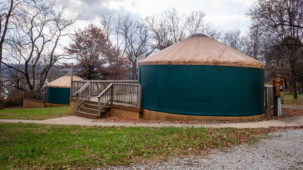
A great group of horses chilling after a ride.One of the state park yurts.
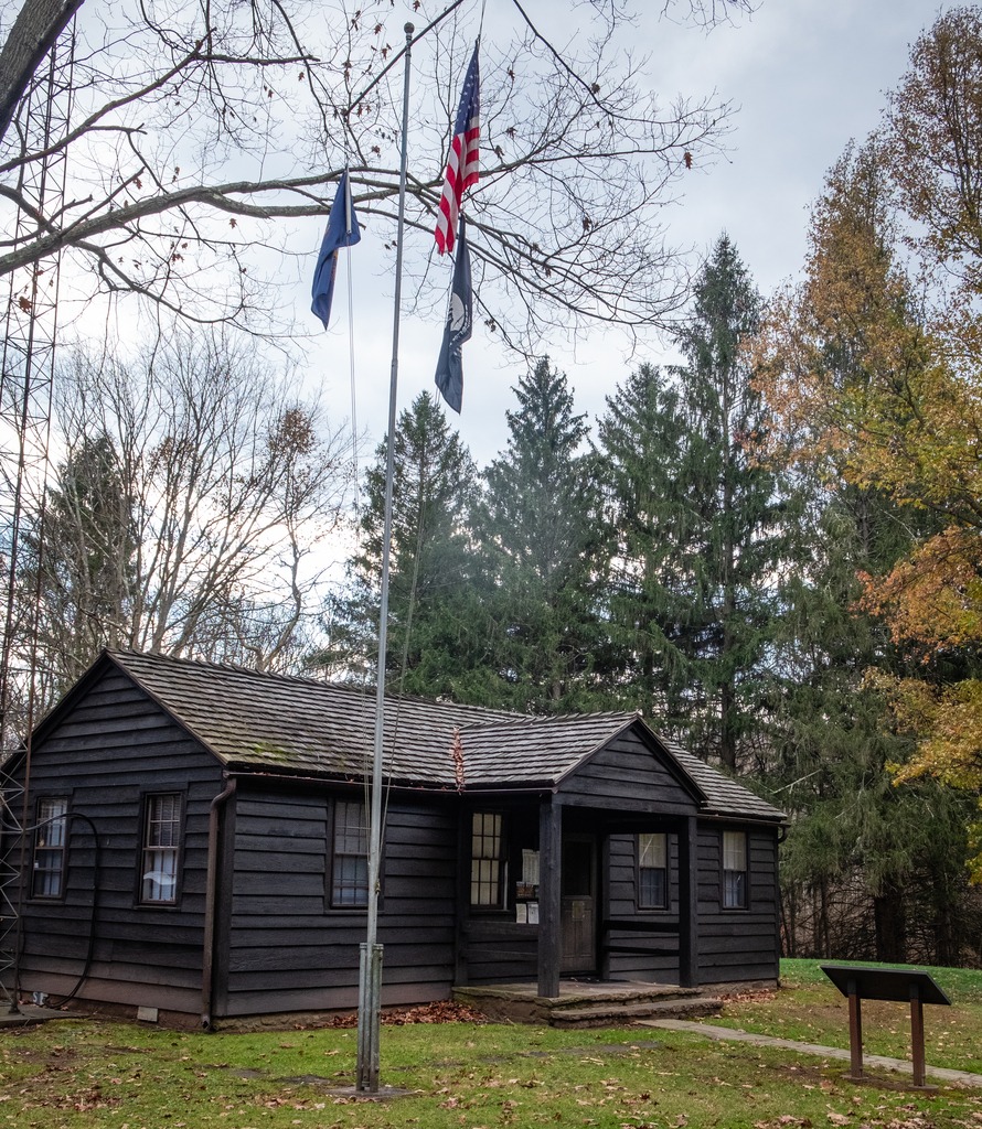
Another westward trip in late fall gave me the opportunity to just about finish off my visits to Pennsylvania’s state parks. I headed north to Altoona from the Fort Littleton area and made a few stops along the way.
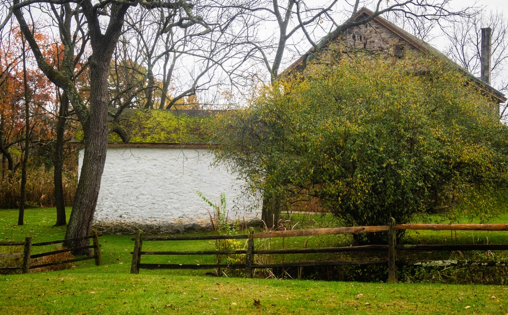
The first stop was actually a covered bridge – Hall’s Mill Covered Bridge. It is a wooden covered bridge which is located in Hopewell Township in Bedford County. It was listed on the National Register of Historic Places in 1980. The structure is a 91-foot-long (28 m), Burr Truss bridge with a medium pitched gable roof, and was built in 1872. It crosses Yellow Creek, and is one of fifteen historic covered bridges in Bedford County. It is one of several bridges that I saw in this area with open sides, except for the support beams.
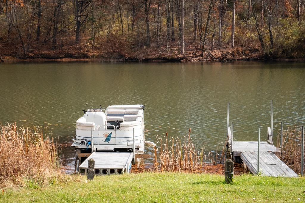
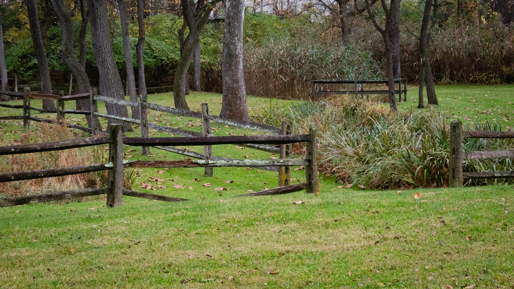
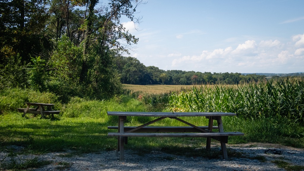
After viewing the bridge, I made my way to Warrior’s Path State Park. This park is one of two near Raystown Lake that I visited. The 349-acre park lies very near the famous path used by the Iroquois in raids and wars with the Cherokees and other American Indians in southern Pennsylvania.
The park is a seasonal, day-use area open from mid-April through the end of October that is fairly small and undeveloped. At other times of the year, visitors must park near the main gate and walk into the park. The park provided opportunities for hiking, boating, fishing and picnicking, wildlife viewing and volleyball. This finger of land is bounded on three sides by the Raystown Branch of the Juniata River, which empties into Raystown Lake approximately one mile downstream. The unique shape of the park was formed as a result of river meandering. This section of the river exhibits some of the best examples of natural stream meandering in the state.
The Raystown branch of the Juniata.
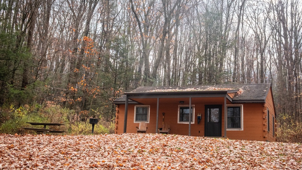
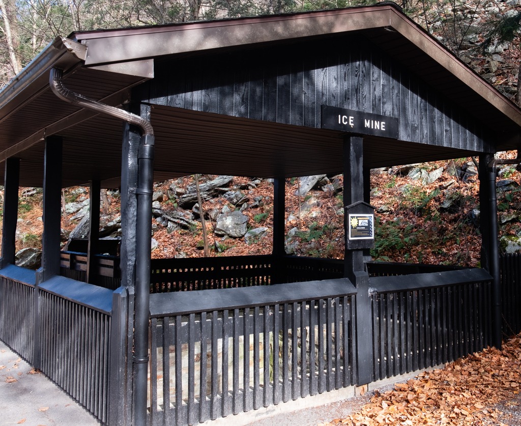
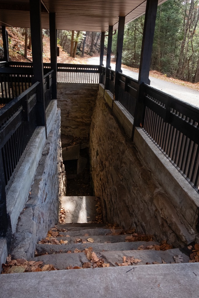
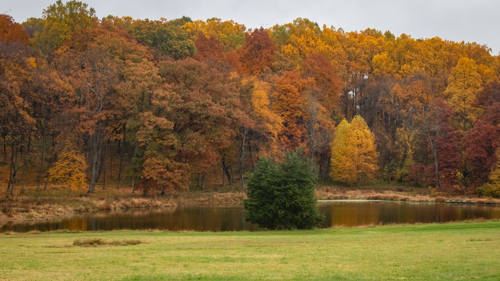
Trough Creek State Park in one of the loveliest in the Commonwealth. The 541-acre park is a scenic gorge formed as Great Trough Creek cuts through Terrace Mountain before emptying into Raystown Lake. Rugged hiking trails lead to wonders like Balanced Rock and Rainbow Falls. Rothrock State Forest and Raystown Lake border the park, making a large, contiguous area of public land for recreation. The park has a lovely campground and the usual state park activities.
The Balanced Rock is one of Trough Creek’s best know sites.Trough CreekThe Ice MineThis park is full of interesting rock formations.
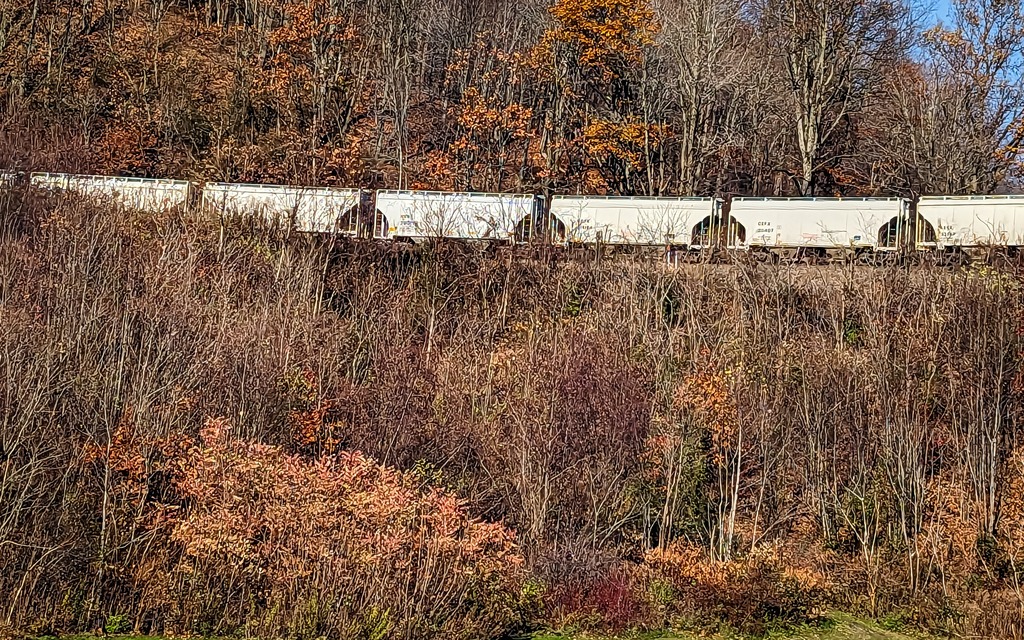
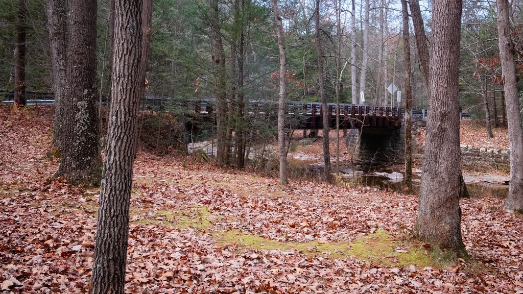
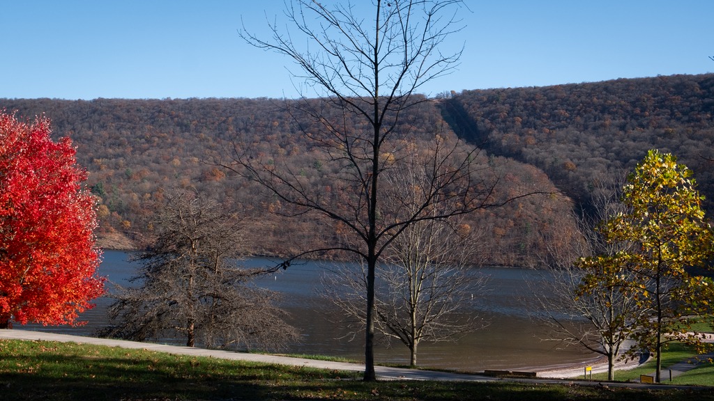
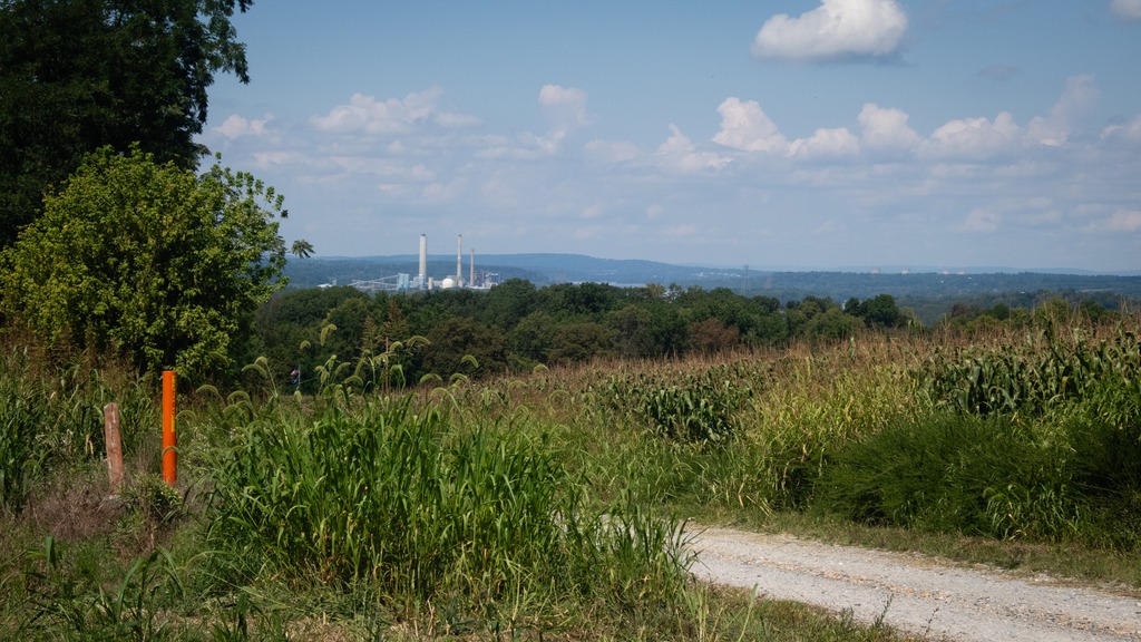
I finished my day with a brief visit to Raystown Lake, an Army Corp of Engineers facility. Raystown Lake is a reservoir in Huntingdon County, Pennsylvania. It is the largest lake that is entirely within Pennsylvania. The original lake was built by the Simpson family of Huntingdon as a hydroelectric project. The current 8,300-acre, 27 mile long Raystown Lake was completed in 1973 by the Army Corps of Engineers. The popular lake offers opportunities for boating, fishing, camping, hiking, swimming, and scenic beauty.
Autumn is my favorite time of year and probably the most photogenic time in Pennsylvania. Here is a look back at some fall foliage in northwestern Chester County.
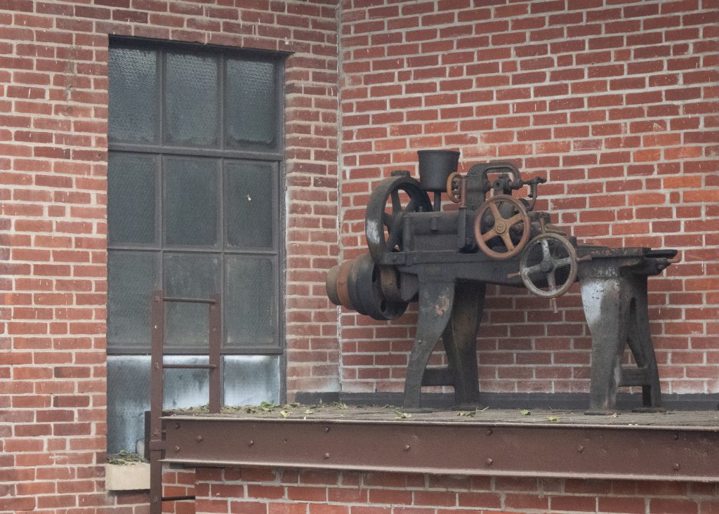
Gunkle Spring Mill is a historic American gristmill complex constructed in 1793. It is located in East Whiteland Township, Chester County and was listed on the National Register of Historic Places in 1978. The mill was built in 1793 by Michael and Chatharina Gunkle. It is a 2 1⁄2-story, banked stone structure with a gable roof. Also located on the property are a 2 1⁄2-story, stuccoed stone miller’s house, a one-story stone spring house, a one-story stone smokehouse, and a one-story stone carriage house.
Gunkle was a German immigrant from Philadelphia who purchased 974 acres (394 ha) in 1792 in East Whiteland, where he constructed and operated the gristmill, along with a saw mill and a fulling mill. By 1872 the mill processed 1,800 short tons (1,600 t) of flour, feed, corn, and oats yearly. At the peak of its productivity, the mill ran 18 hours a day. The mill remained in continuous operation into the 1940s.
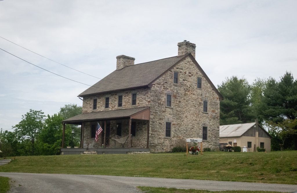
Christiana is a borough in Lancaster County, Pennsylvania, United States. Present-day Christiana was once known as Nobleville. The present name is after Christiana Noble, the wife of a first settler. It is notable as the site of the Christiana railroad depot, constructed by the Pennsylvania Railroad.
In 1851, the town was the site of the Battle of Christiana, also called the Christiana riot. On September 11, 1851, Christiana was the site of the Battle of Christiana (also called the Christiana Riot), in which the local residents defended with firearms a fugitive slave, killing the slaveowner. Southerners demanded the hanging of those responsible, who were accused of treason and making war on the United States, but after the first defendant was acquitted, the government dropped the case. The trial was the first nationally covered challenge to the Fugitive Slave Act of 1850. Today, the town is the sight of the Christiana Underground Railway Center.
Underground Railroad Center – hours are seasonal so check before heading out.
Some other views from the town and the surrounding area:
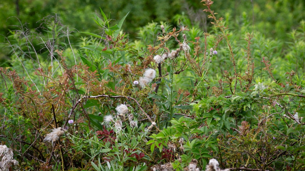
A trip to Middle Creek in late summer led to some unexpected viewing. I went in search of a Hudsonian Godwit, but found something else entirely. First up was this group of horses, hitched to a fence with no riders in sight:
I then spied this wedding party (perhaps Mennonite?) near the visitors center.
An finally, that Hudsonian Godwit and some Canada Geese with an interloper Great Egret.
Pennsylvania recently announced the designation of three new state parks. As facilities at these parks are still under development, we will take a brief look at two of them here.
The 1,700-acre Big Elk Creek State Park in southern Chester County. The majority of the park consists of lovely farmlands and forest. The park acts as a wildlife corridor and provides refuge for an array of threatened and endangered species. The park’s namesake, Big Elk Creek, traverses the park and is a high-quality stream. Visitors currently may access passive recreational activities, including trail hiking, bird watching, horseback riding, fishing, and hunting.
The 1,044-acres of Susquehanna Riverlands State Park lie in York County, along the confluence of Codorus Creek with the beautiful Susquehanna River. It is nearly six miles northwest of Wrightsville, Pennsylvania. The park features multiple rock outcrop vistas over the river and nearly a mile of riverfront along the Susquehanna with 1.5 miles along Codorus Creek. An approximately 2.75-mile-long portion of the Mason-Dixon Trail traverses the park. This 200-mile-long trail connects the Appalachian Trail at Whiskey Springs in Cumberland County with Chadds Ford along the Brandywine River. The cliffs overlooking the river are also popular for rock climbing.
Codorus Furnace is a reconstructed iron furnace that is very close to Susquehanna Riverlands State Park and makes a nice stop if you are visiting the park. Erected in 1765, the Codorus Furnace was once owned by James Smith of York, a signer of the Declaration of Independence. Cannon balls were cast in the original furnace during the Revolutionary War and the War of 1812. In 1837, iron was floated downstream to Philadelphia and Baltimore to service early manufacturing. The furnace ceased operations in 1850. The Codorus Furnace is currently owned and maintained by the Conservation Society of York County.
Although I said “no post” for this weekend, I recently got a chance to see the property known as the “West Chester Griswolds.” Enjoy this over the top holiday light display,
I would like to wish one and all a very Merry Christmas and remind you that peace and tolerance will not continue to flourish if good people do nothing and allow evil and greed to go unchecked.
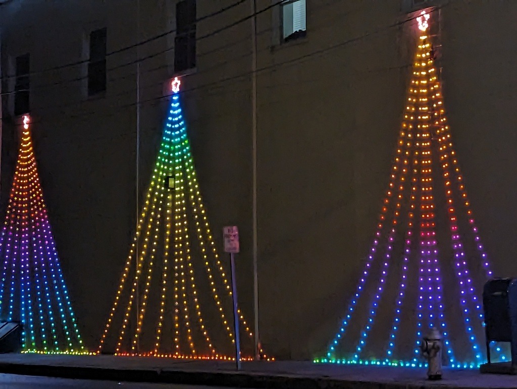
Next weekend the blog will be taking the weekend off for the holiday. In the meantime, have a look at my town, which has some of the best Christmas lights in eastern Chester County and has been previously featured here. I’ve added some new shots this year.
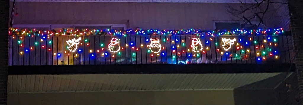
These trees look new.The probable winner of the apartment balcony light contest.This year’s town Christmas tree.A well matched light display for the local brewing company.