• Late Winter on French Creek

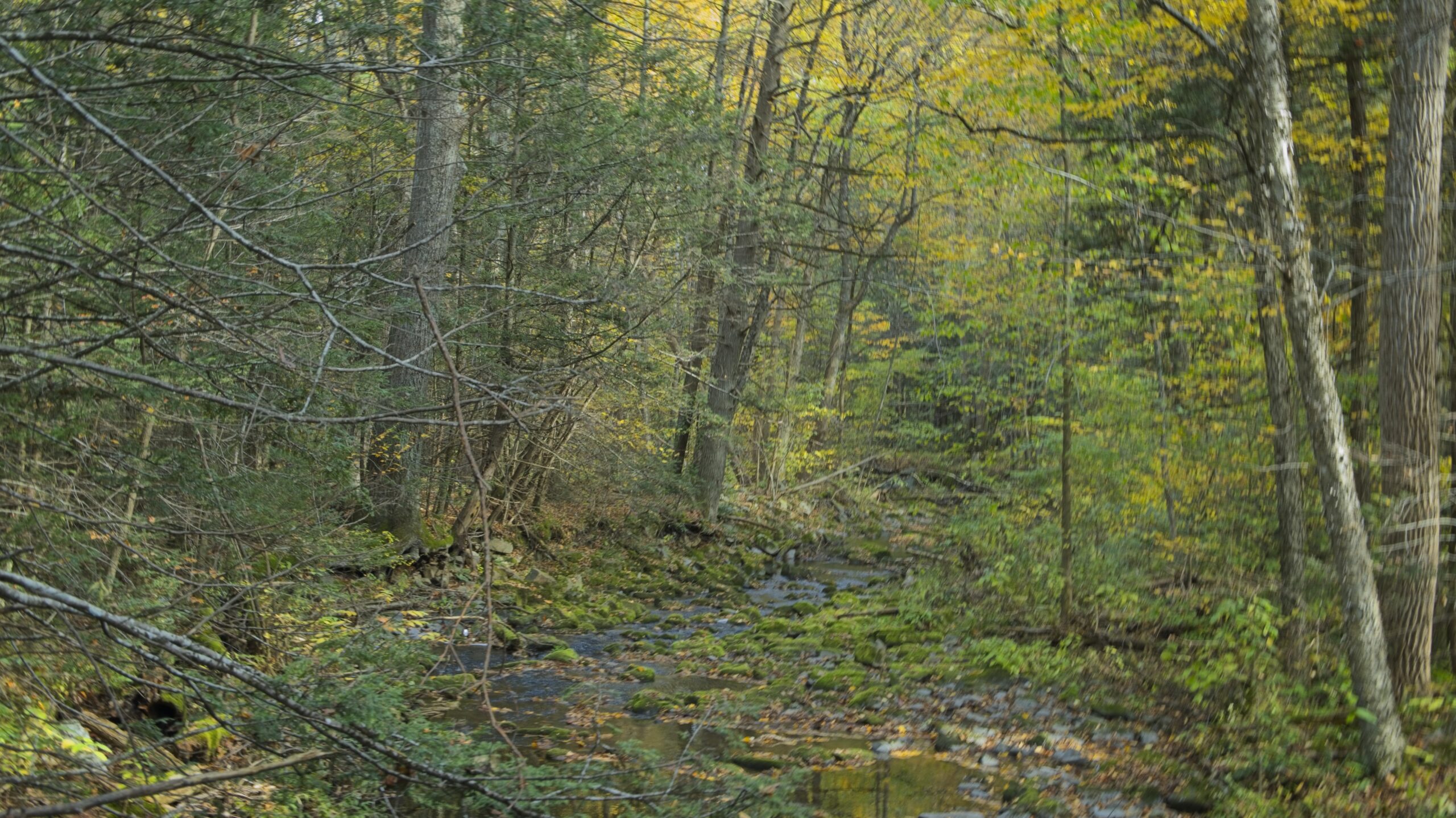
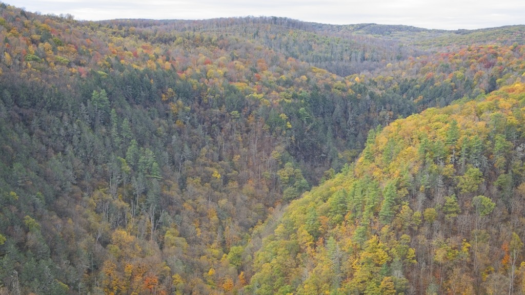
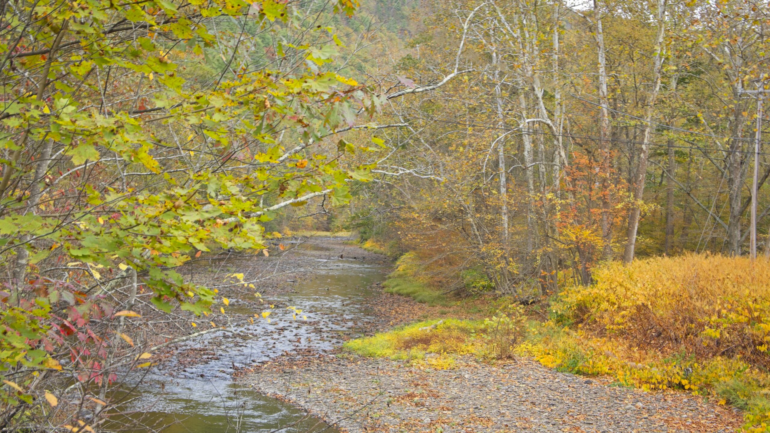
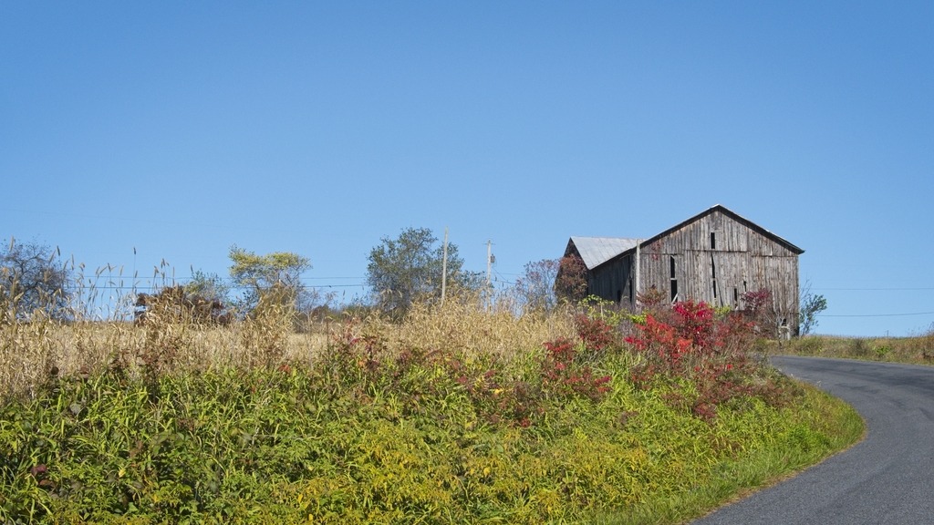
    The grim winter weather continues in Chester County. I was able to get away on a Sunday to visit a few spots along French Creek.

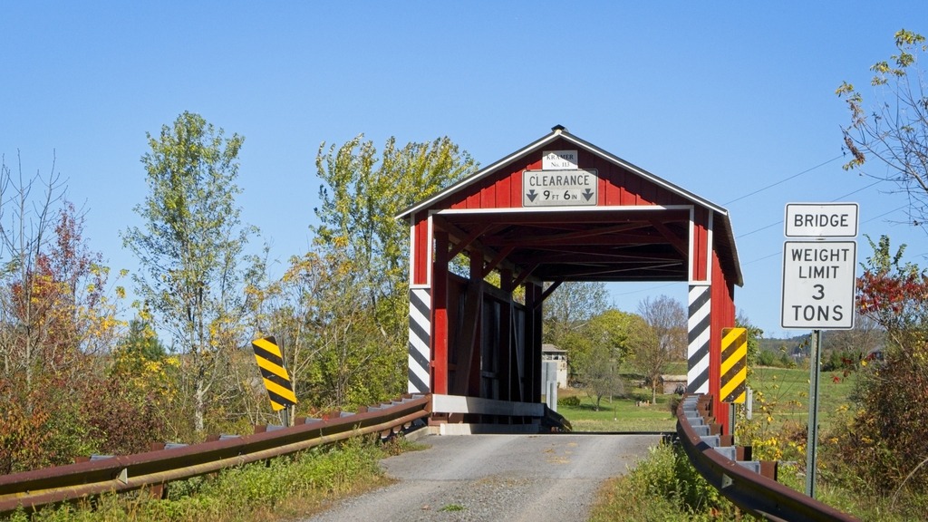
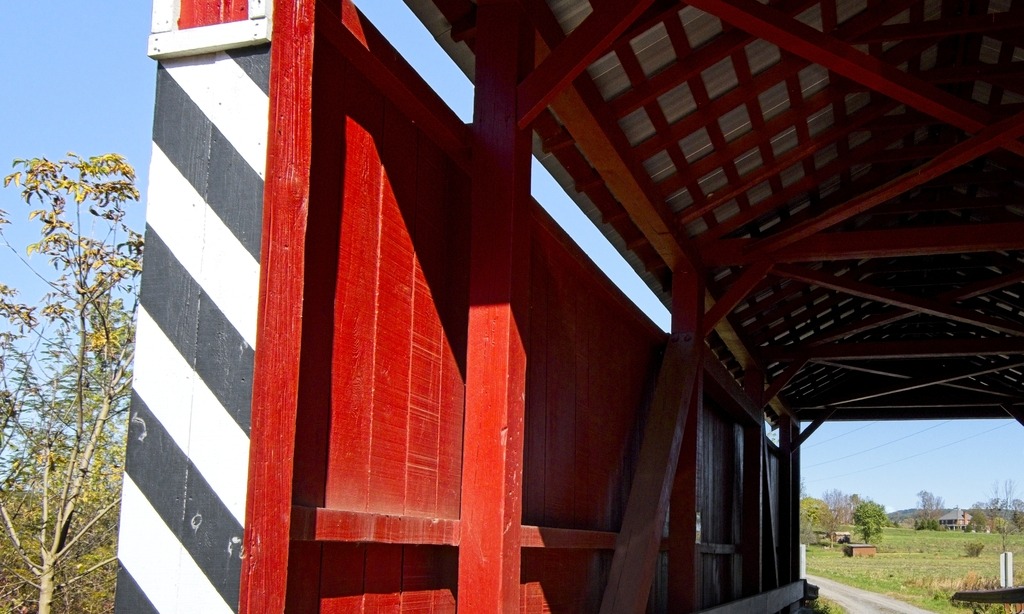
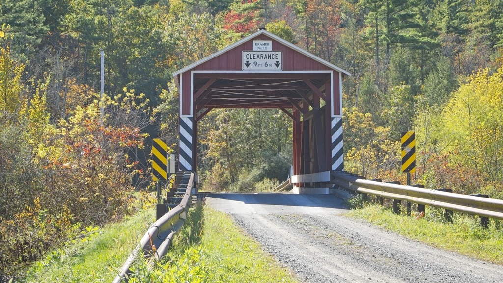
    Rapp’s Dam Covered bridge has been featured before on this blog. This bridge is a 105-foot-long (32 m), Burr truss bridge that was constructed in 1866 by Benjamin F. Hartman. It has fieldstone abutments, horizontal siding and boxed cornices with returns at its portals. It is one of three covered bridges that cross French Creek, the others being Hall’s Bridge and Kennedy Bridge. The Rapps Bridge was renovated in 1978 and again in 2011.

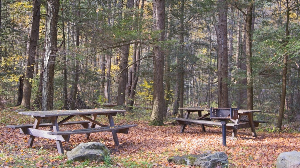
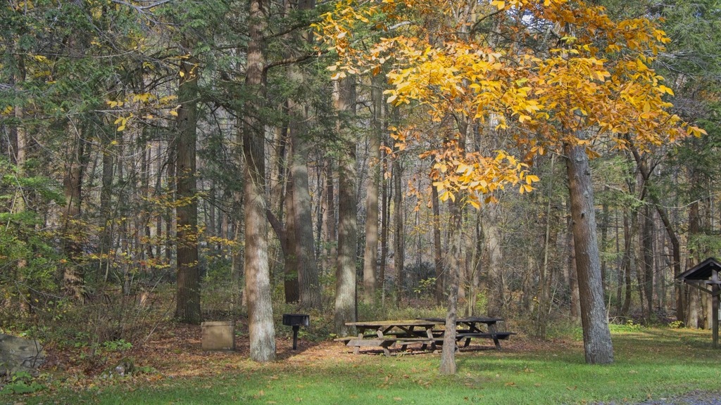
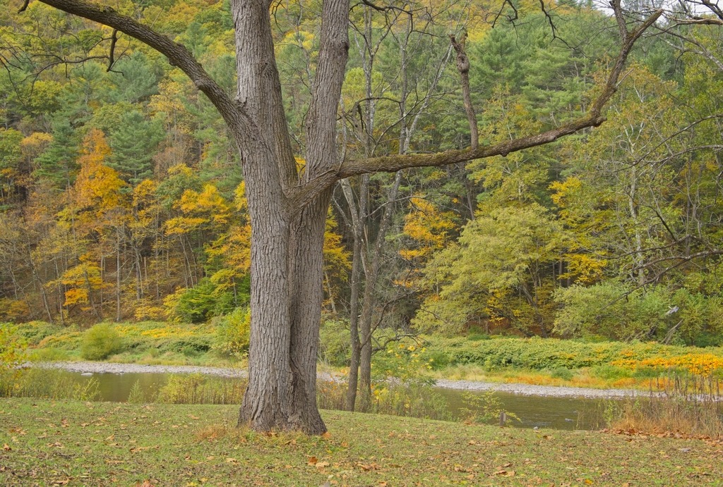
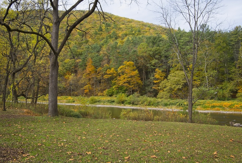
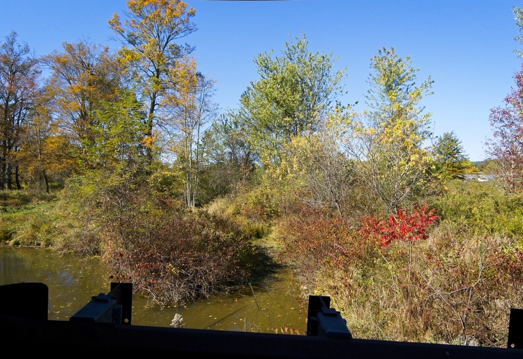
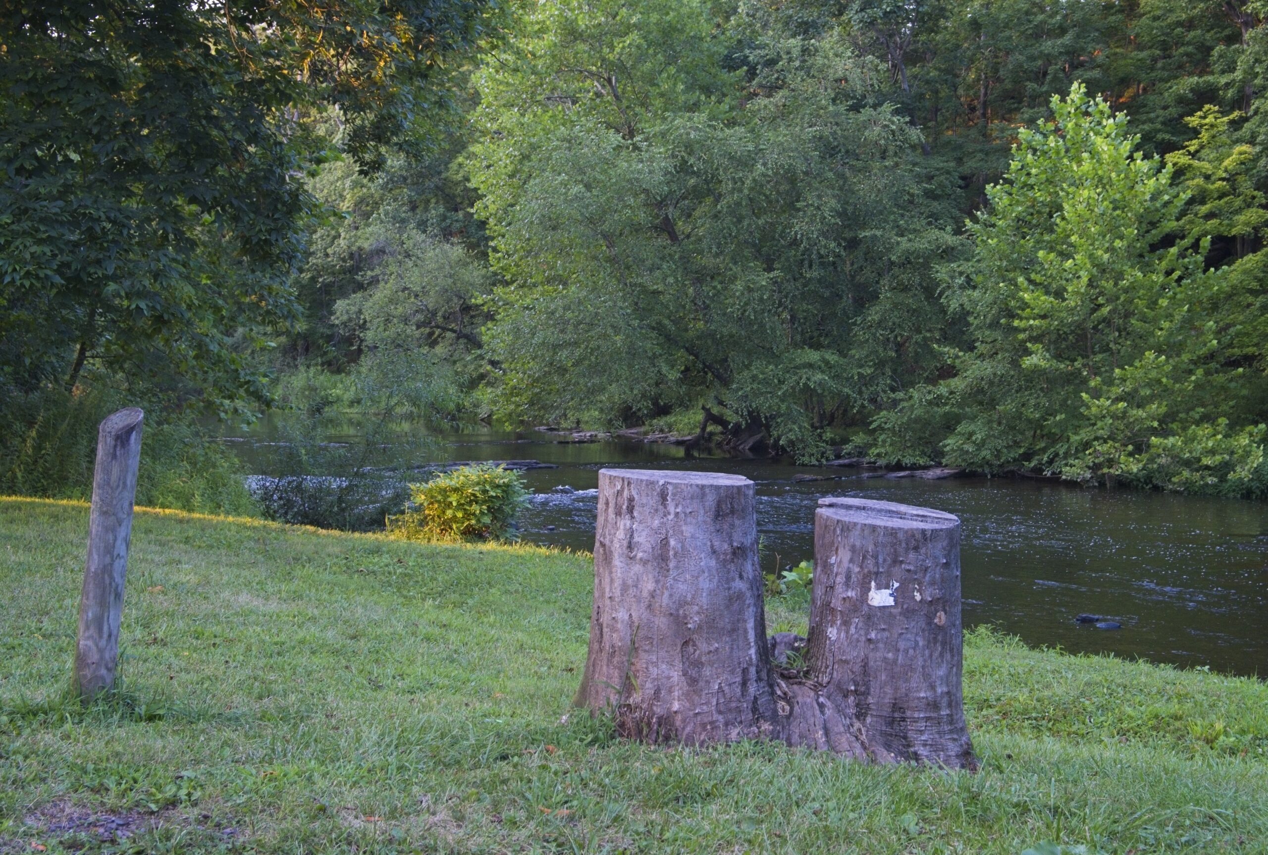
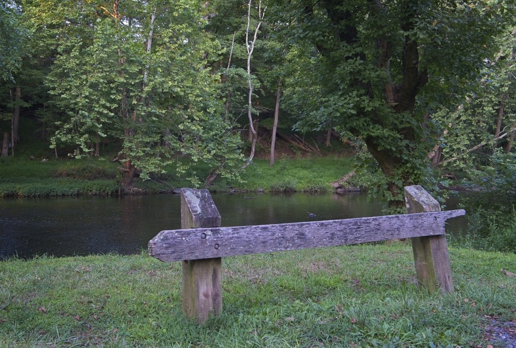
    The bridge is adjacent to the French Creek Heritage Park which has picnic tables and access for the French Creek Trail.

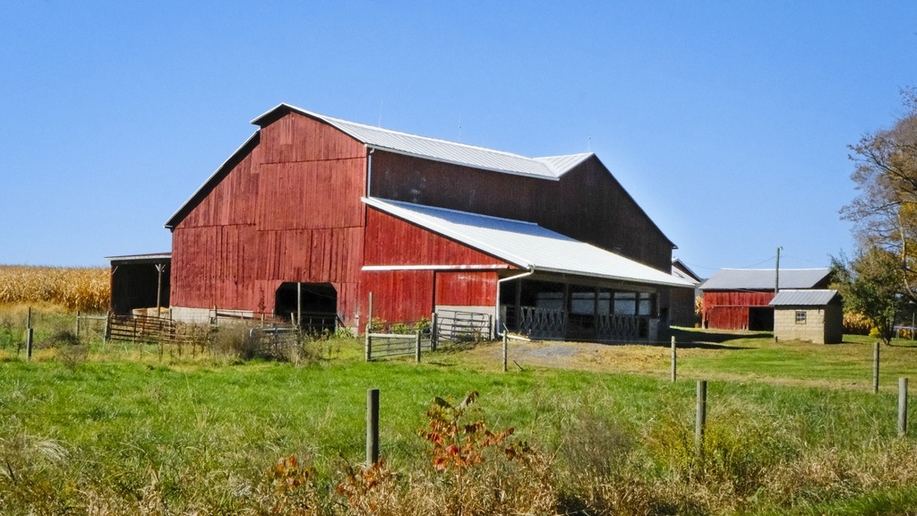
    Snyder’ s Mill also sits in the park. It was a linseed oil mill in the 1800s, and could be the graining mill of the 1775 Continental Powder Mill Complex. In recent years, Snyder’s Mill had been on the verge of total collapse. The East Pikeland Historical Commission has stabilized the mill and is working to promote the site as a heritage tourism destination.

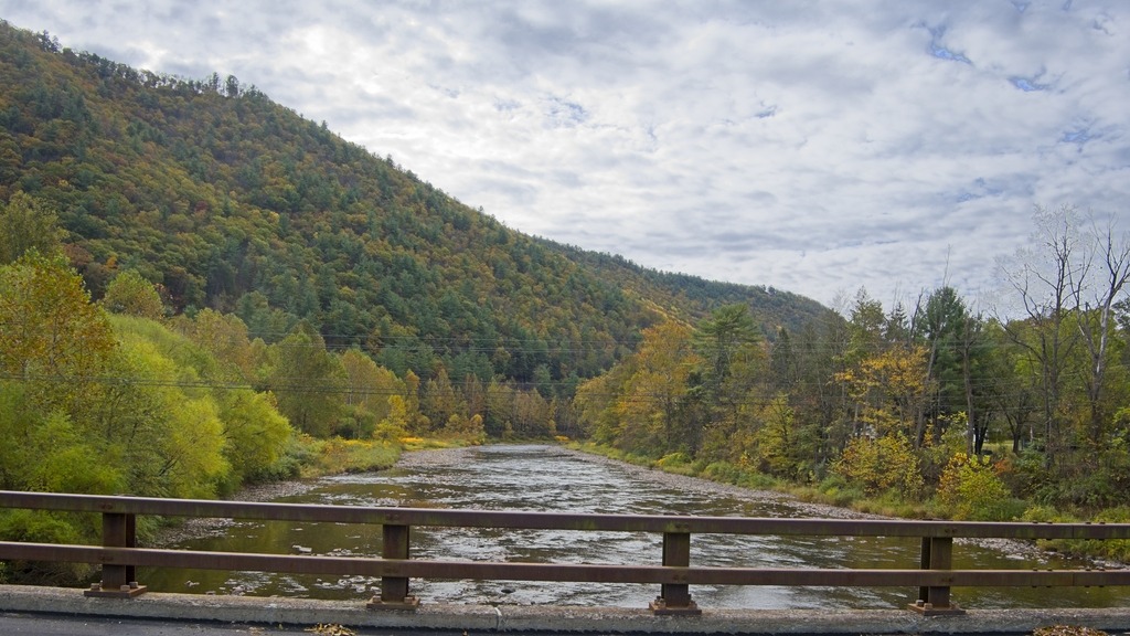
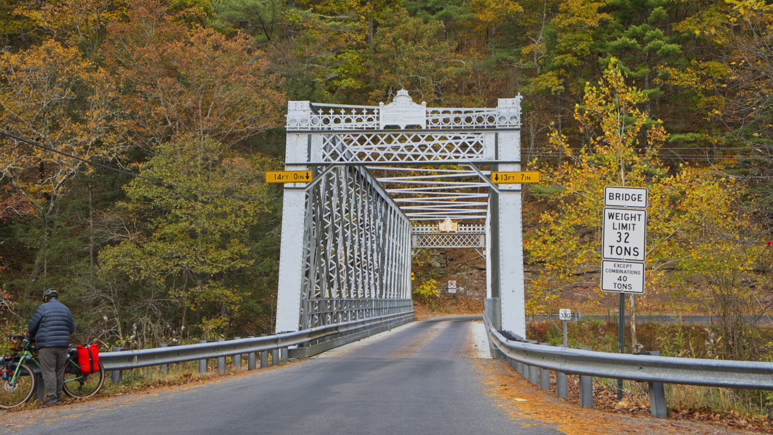
    A short distance upstream is the Hares Hill Road Bridge, a single-span, wrought iron, bowstring-shaped lattice girder bridge. It was built in 1869 by Moseley Iron Bridge and Roof Company and is the only known surviving example of this kind.

    This building in the Kimberton area caught my attention.

  • A Wintery Lock 60

    The Schuylkill River once had a navigation along its length. A few structures associated with this waterway remain – including Lock 60 at Mont Clare, Montgomery County. I visited on Valentine’s Day as part of a trip along the River to look for waterfowl. A few areas of the River that were free of ice had groups of ducks, including Hooded and Common Mergansers, Goldeneye, Mallard, Greater Scaup, Ring-necked, Bufflehead and a rarity – the Tufted Duck.

    Lock 60 is a fully restored, working lock on the Schuylkill Canal, originally built as part of the Schuylkill Navigation system. The lock is demonstrated for groups and during special events by the Schuylkill Canal Association. This lock, one of 71 originally built on the canal, was constructed in the 1820s and was originally part of the Oakes Reach. The site includes the original Locktender’s house as well as canal information and interpretation. The house is open by appointment and during special events. 

    The lock gates

    Some views of the lockkeeper’s house.

    The Locktender’s House

    Some looks along the Canal and the River – sadly no ducks were present here, as both areas were covered in ice.

  • Ravensburg Revisit

    I made a quick stop at Ravensburg State Park on my way home from the Pine Creek area because I realized I had missed most of its features on my first trip. Ravensburg is small wooded park with picnicking, hiking, hunting and fishing, and a rustic campground. The campground was already closed for the season in mid-October.

    The park lies in a cozy, steep-walled gorge carved by Rauchtown Run through the side of Nippenose Mountain. A northern hardwood forest blankets the bottomland along this spring-fed stream.

    Talus (rock) covered slopes and interesting rock formations are interspersed among a stunted oak forest growing on the steep mountainsides and ridges. This pretty valley is especially beautiful when the mountain laurel blooms during late June and during the fall foliage of October.

  • It’s Not a Grand Canyon

    Pine Creek Gorge is a 47-mile (76 km) gorge carved into the Allegheny Plateau by Pine Creek in north-central Pennsylvania. It sits in about 160,000 acres (650 km2) of the Tioga State Forest. The gorge begins south of Ansonia, near Wellsboro, along U.S. Route 6 and continues south. Its deepest point is 1,450 feet (440 m) at Waterville, near the southern end.

    The Gorge has the unfortunate nickname of “The Grand Canyon of Pennsylvania.” Not only is this a wild exaggeration, but the area’s unique beauty deserves to stand on its own and does not require comparison. The area most associated with the Gorge is near Leonard Harrison and Colton Point State Parks, where it is more than 800 feet (240 m) deep and the distance rim-to-rim is about 4,000 feet (1,200 m). I visited Leonard Harrison in October.

    The Visitor’s Center
    The view down into the Gorge.
    That’s Pine Creek down there.
  • Pine Creek Northbound

    Near Waterville, Route 414 turns north up the Pine Creek valley. The southern part of this valley feels wider and has more towns along the banks of the stream. Most of this area is still in Lycoming County until just south of Blackwell. The Pine Creek area was the site of major logging activity from the late 18th through early 20th century and is now a major hub for recreation. Much of the now second-growth forest is protected by a network of parks, state game lands and state forest,

    The aptly named “Bottom Lodge.”
    There are several points to launch small boats into Pine Creek and access the Rail Trail.
    From the bridge at Slate Run
    Hilborn Iron Bridge

  • A Covered Bridge in a Quiet Valley

    On my way to the Pine Creek area, I made a quick stop in Columbia County to view the Kramer Covered Bridge. I had somehow missed photographing this bridge, even though it is near where my relatives live.

    Showing signs of Autumn …
    A stop at Kitchens Cemerery where my grandparents are buried.

    The Kramer Covered Bridge is a wooden covered bridge that is located in Greenwood Township. It crosses Mud Run. It was listed on the National Register of Historic Places in 1979. Built in 1881, this historic structure is a 50-foot-long (15 m), Queen Post Truss bridge with a metal roof constructed in 1881. It is one of twenty-eight historic covered bridges that are located in Columbia and Montour Counties.

    Finally, the covered bridge.
    Mud Run
  • A Pair of Parks

    A trip into Bucks County led me to several covered bridges. Near the Cabin Run Covered Bridge is Tohickon Valley Park, a pleasnt spot with parking, picnic tables and fishing access to the Tohickon Creek. It is close to several other county parks. The 612-acre Tohickon park also has playgrounds,hiking, ball fields, and a swimming pool in season. Overnight stays include group and family camping and cabins on 22 campsites. It is deceptively large, which is why I missed a portion of it when I was there.

    Views of Tohickon Creek.

    Nockamixon State Park has been featured on this blog before.so I will not go into detail here. It is a large park in Bucks County with a lake, full service marina, hiking, picnicking, hunting and fishing. It is actually a decent location for astronomy close to the city of Philadelphia. The Tohickon boat launch area is used for astronomy and provides fairly open horizons and a 20.10 mag/arssec^2 sky.

    Almost sunset, but not quite.
  • Amish Buggies and Scenery

    The area around the Octoraro Reservoir and watershed in southern Lancaster and Chester Counties is particularly scenic. The buggies were out in force one Saturday in May.

    I don’t have much to say about these photos, and I will let them speak for themeselves.

  • A Tranquil Oasis

    The Winnie Palmer Nature Reserve is a 50 acre nature reserve adjacent to Saint Vincent College in Latrobe. The Reserve includes native landscapes, trails, meadows, gardens, an Environmental Learning Barn, Nature Explore Certified play spaces, pond, wetlands, and more. The property is open to the public for recreation, conservation, and education.

    The reserve is named after Winnie Palmer, the wife of famed golfer Arnold Palmer, who was instrumental in the preservation of the land. More about the Reserve can be found on their website. at http://www.wpnr.org/ .

    Beautiful open meadow habitat.
    The Environmental :Learning Barn.
    Fantastic views of St. Vincent College.

    On the way back to Ligonier I stopped to take a look at the Loyalhanna Creek Causeway. The creek is popular with boaters and recreational trout fishermen.

  • A Cascading Stream

    It’s hard to imagine that the area that is now Linn Run State Park was once a clear cut wasteland. It is now covered by second -growth forest, which frames the tumbling and cascading Linn Run.

    Near the Fish Run trail head, there is some signage recording the logging history of the area. The Pittsburgh, Westmoreland and Somerset Railroad traversed Laurel Mountain to service logging activities there. The route taxed the limits of the steam locomotives, which could refill their boilers at a water station, which was created by diverting the creek to form a pond. There was also a siding in this area to slow down run-away trains.

    The pond.
    A memorial bench in a lovely spot.
error: Content is protected !!