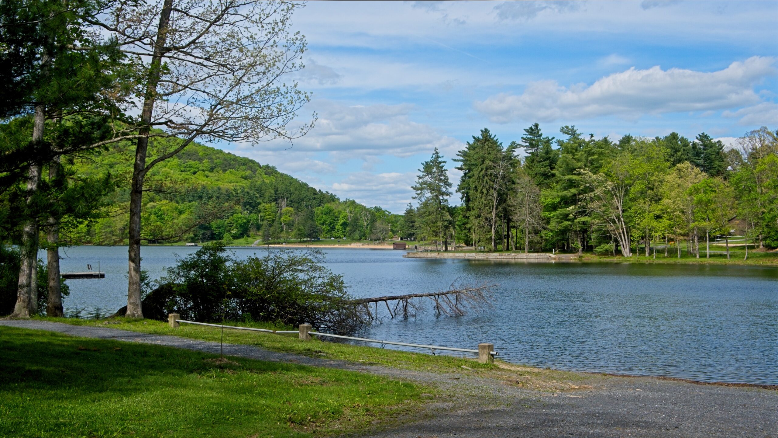
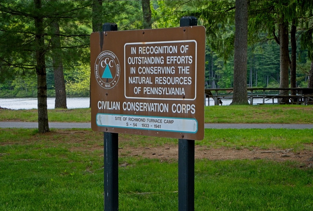
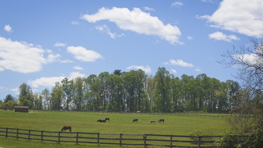
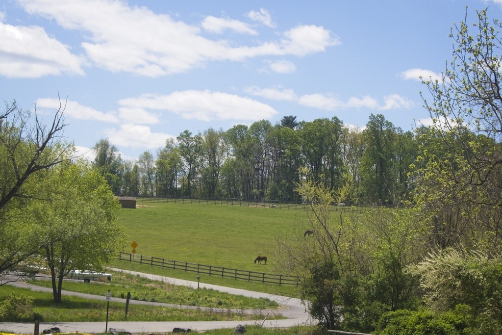
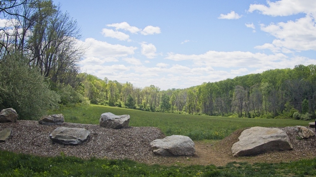
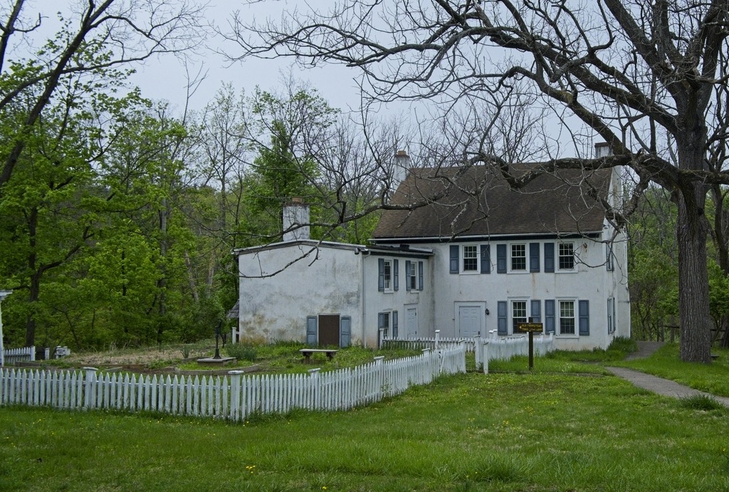
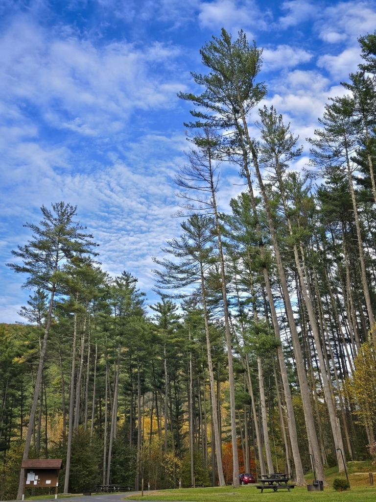
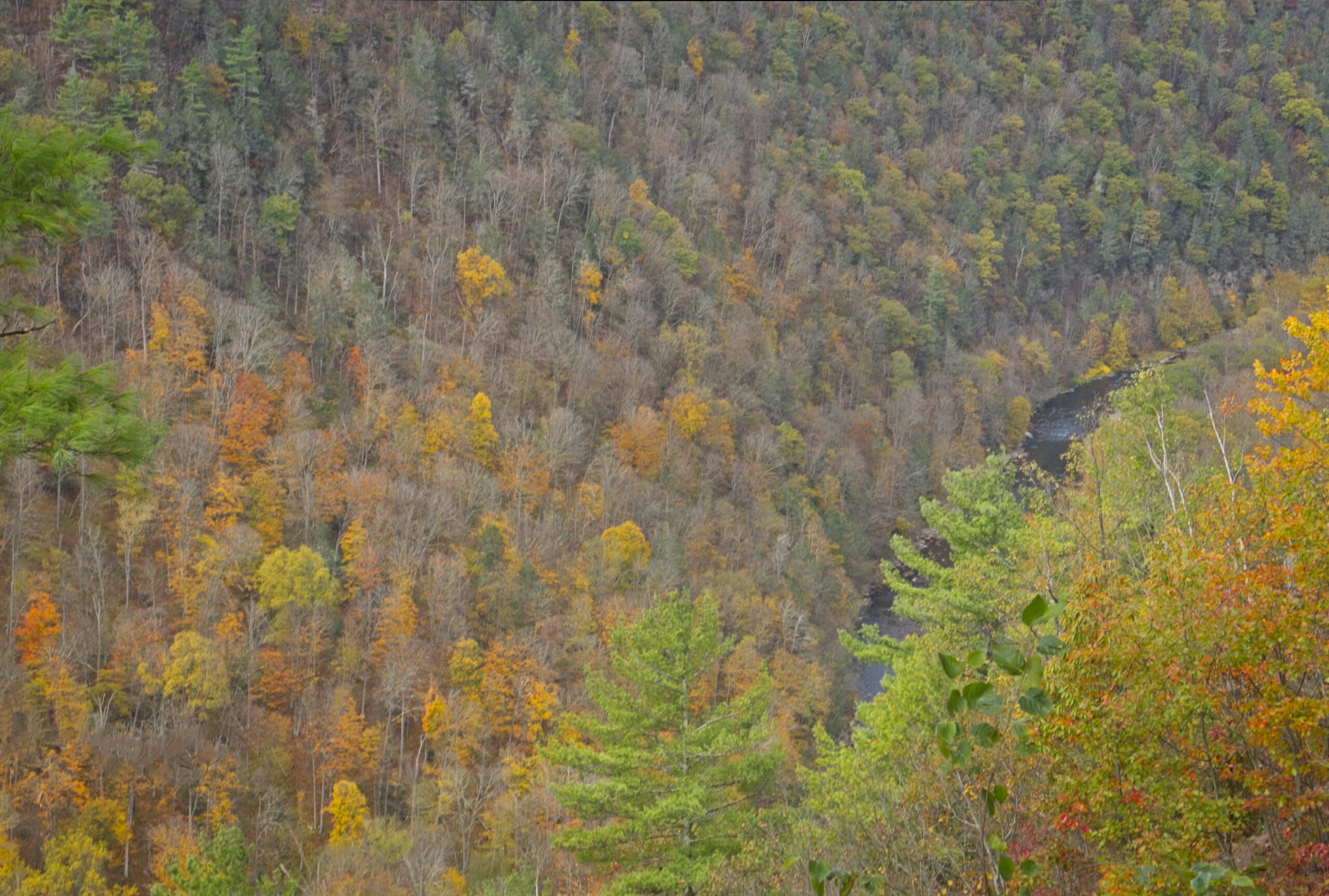
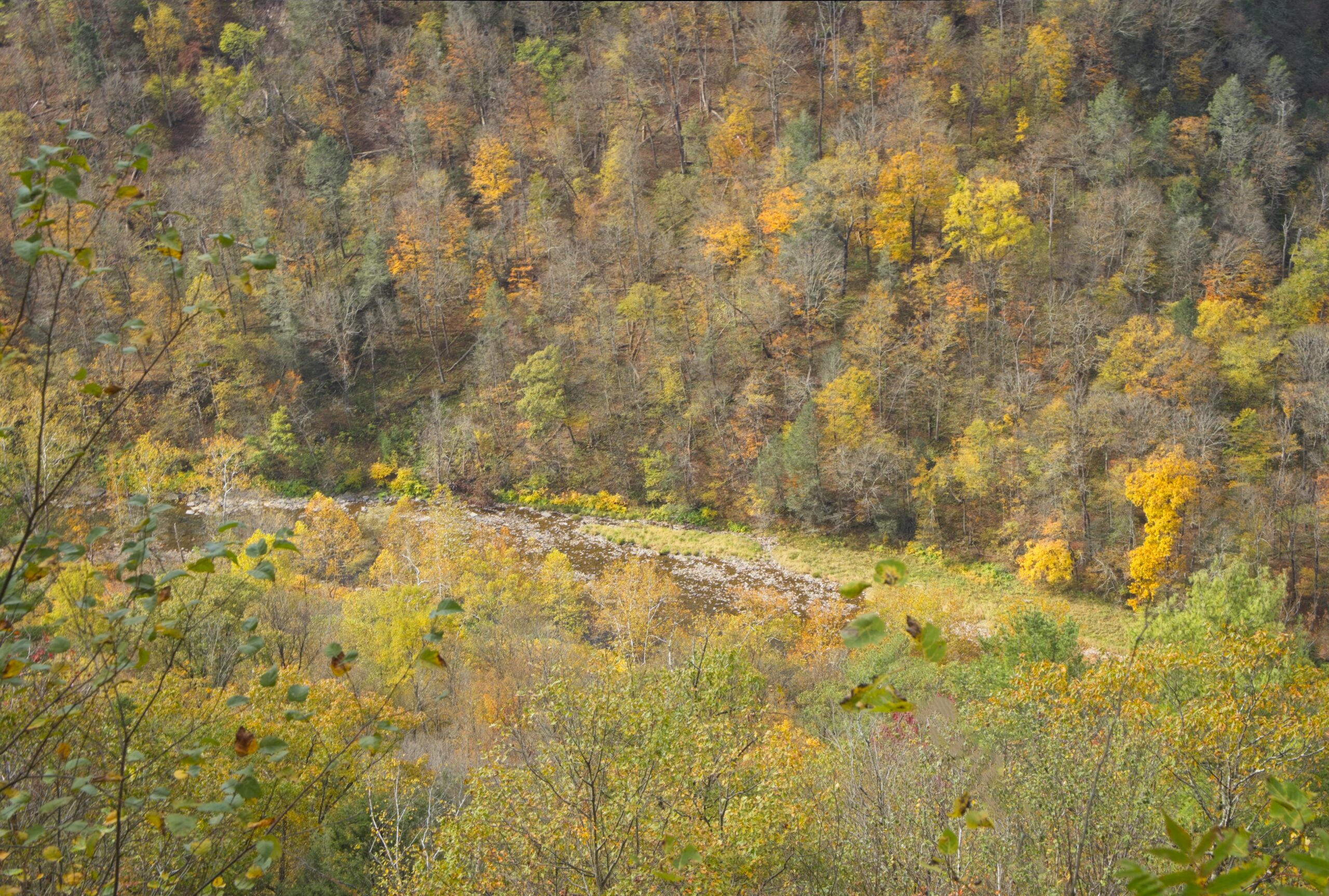
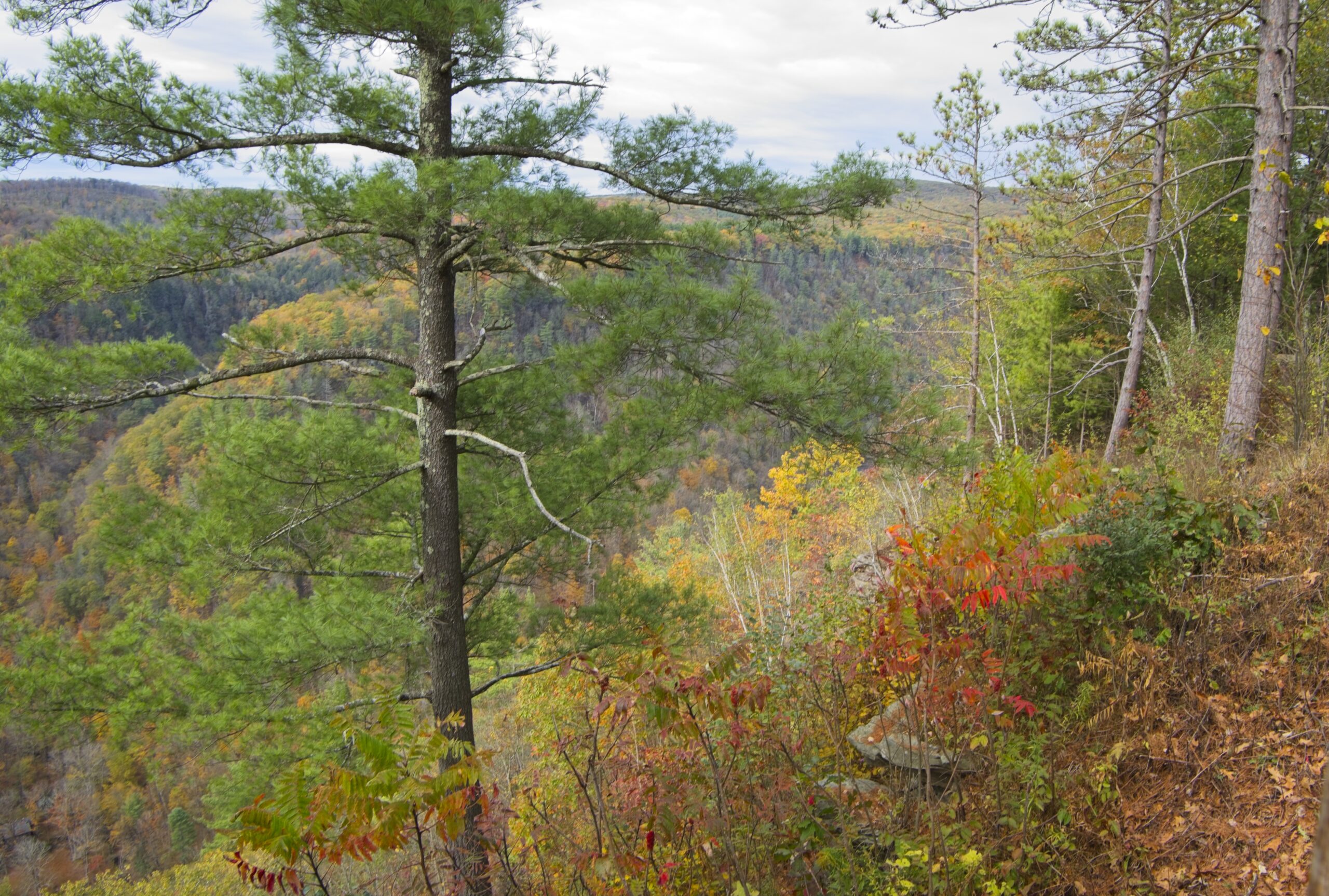
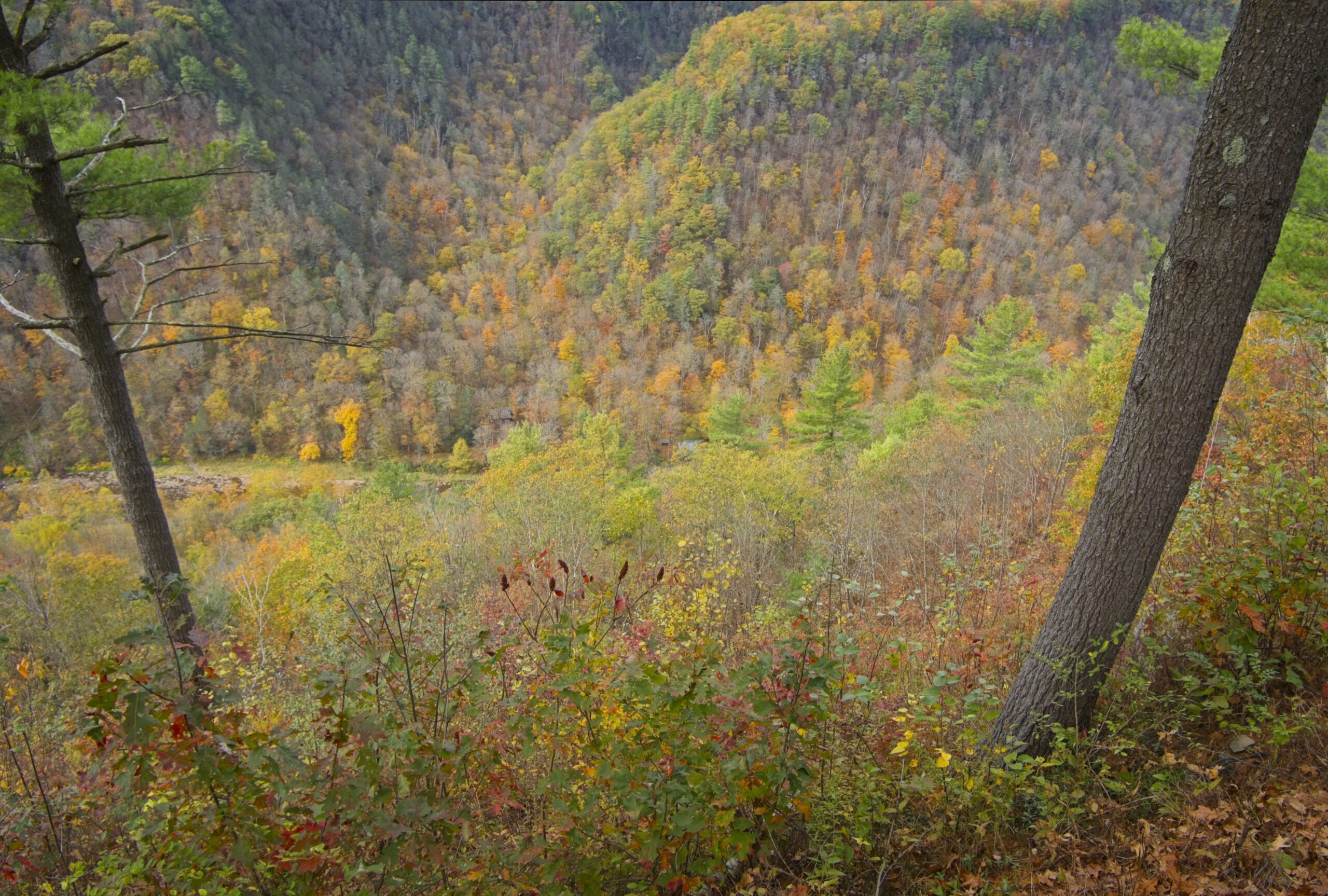
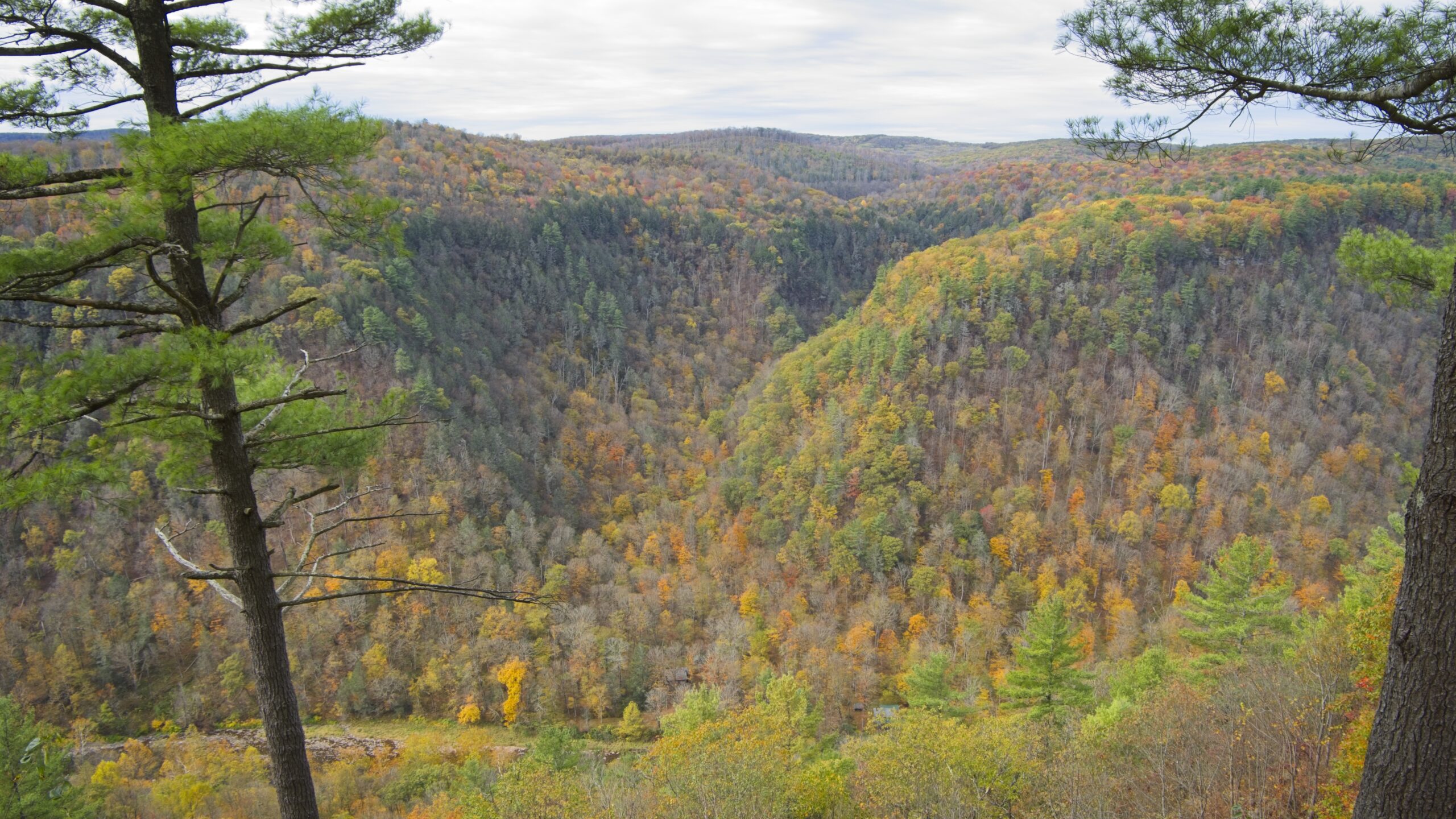
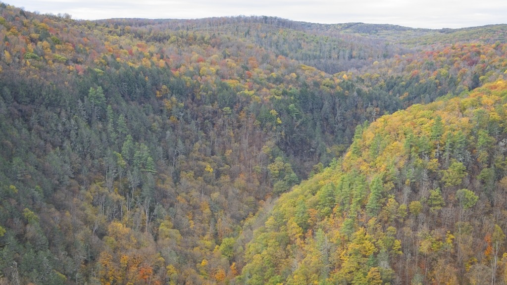
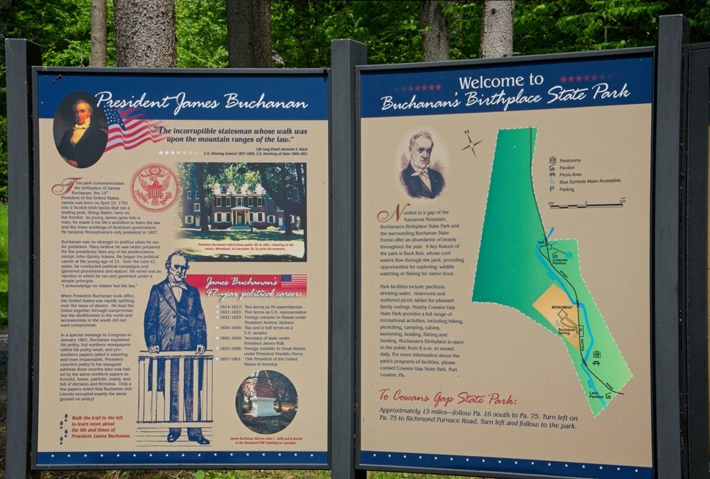
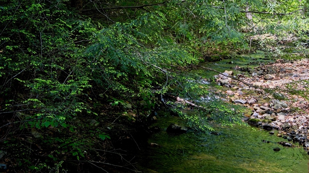
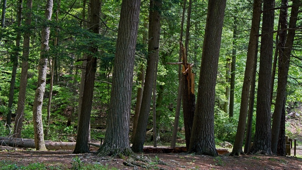
Buchanan’s Birthplace State Park is an 18.5-acre park nestled in a gap of Tuscarora Mountain in Franklin County. Today, the area is still a quiet place, but on April 23, 1791, at the time of James Buchanan’s birth, Cove Gap was on the western edge of civilization — a place alive with the sights and sounds of a center of commerce. Although the surrounding Allegheny Mountains provided a formidable barrier to those seeking the way to the west, Cove Gap cut through two of the three parallel mountains, making the westward journey a little easier. During those days, anyone seeking a route west passed through this gap and by the last mercantile store for many miles.
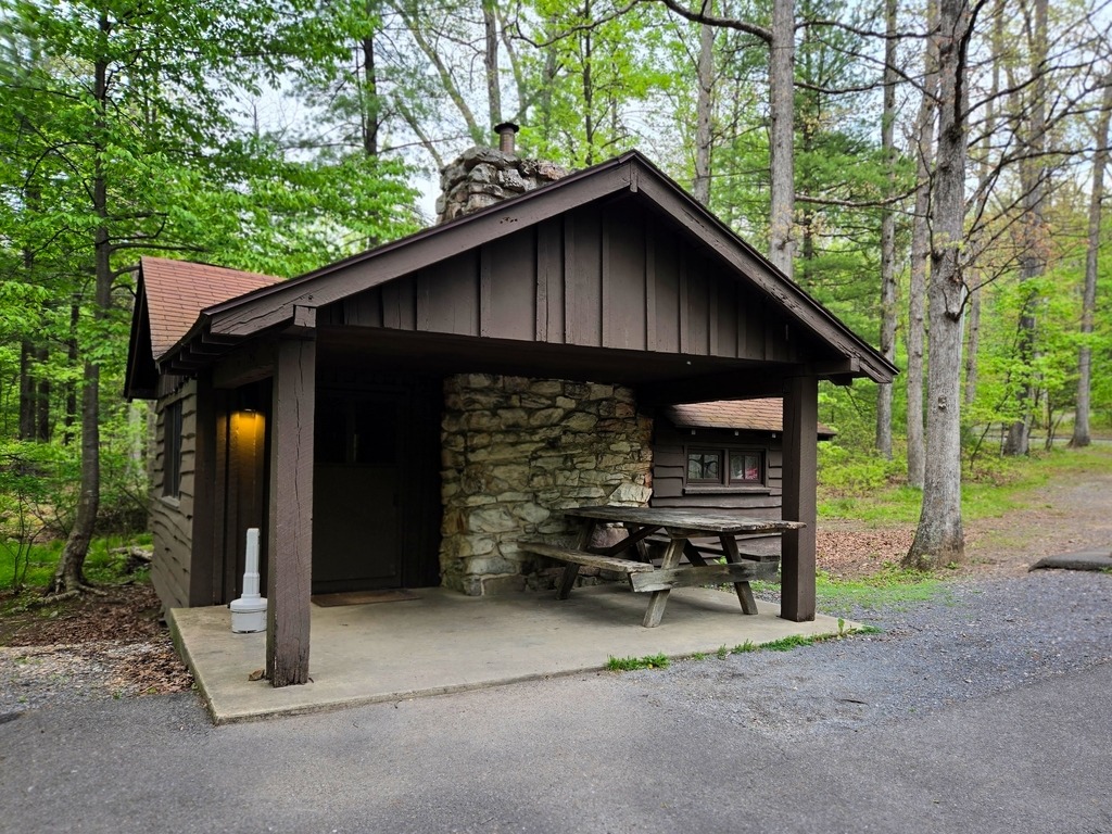
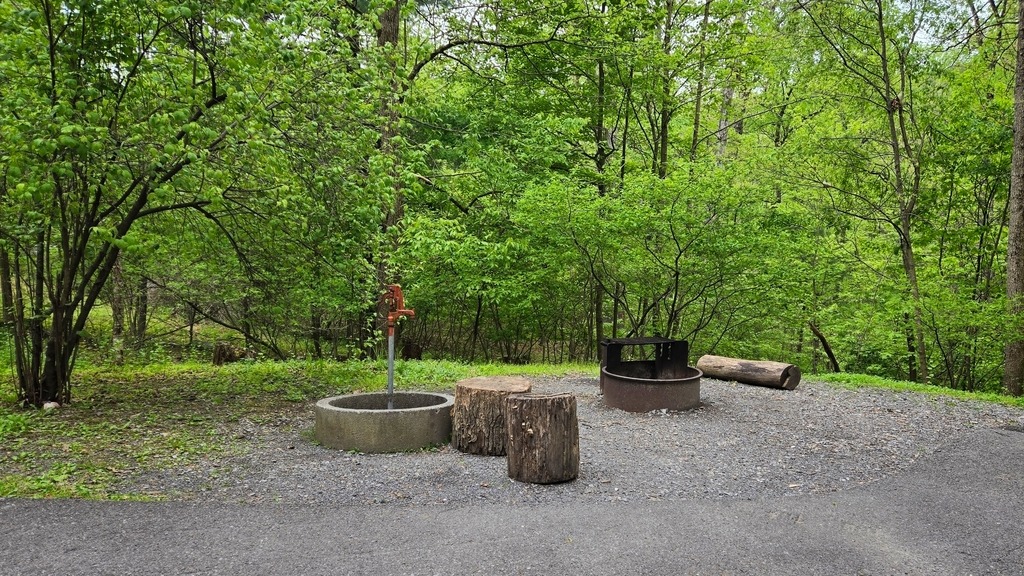
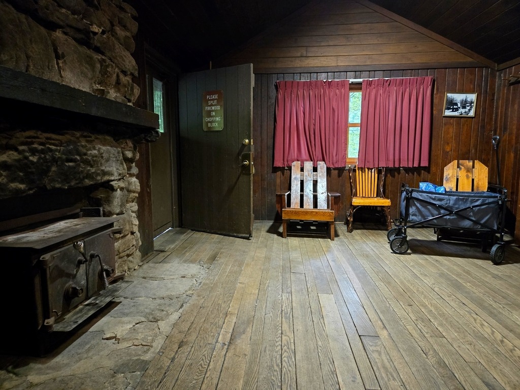
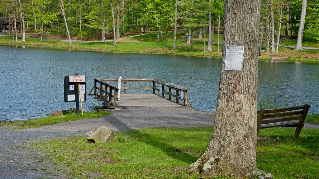
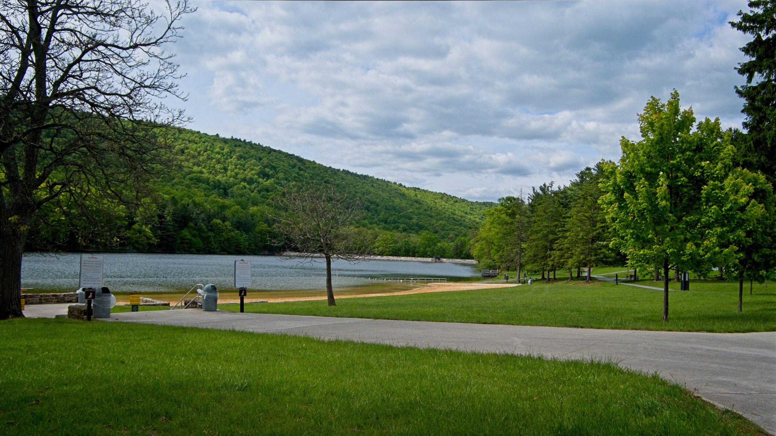
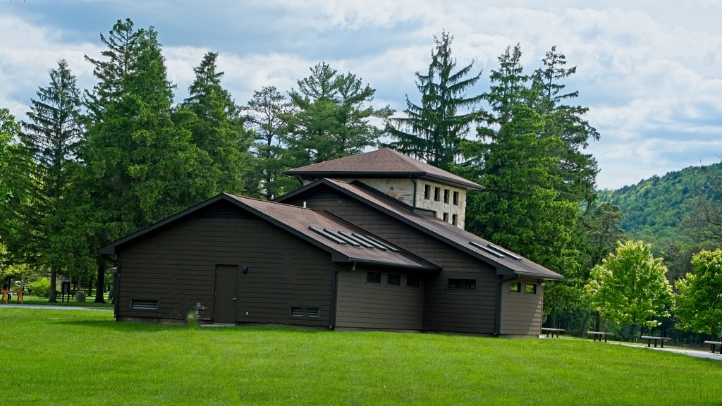
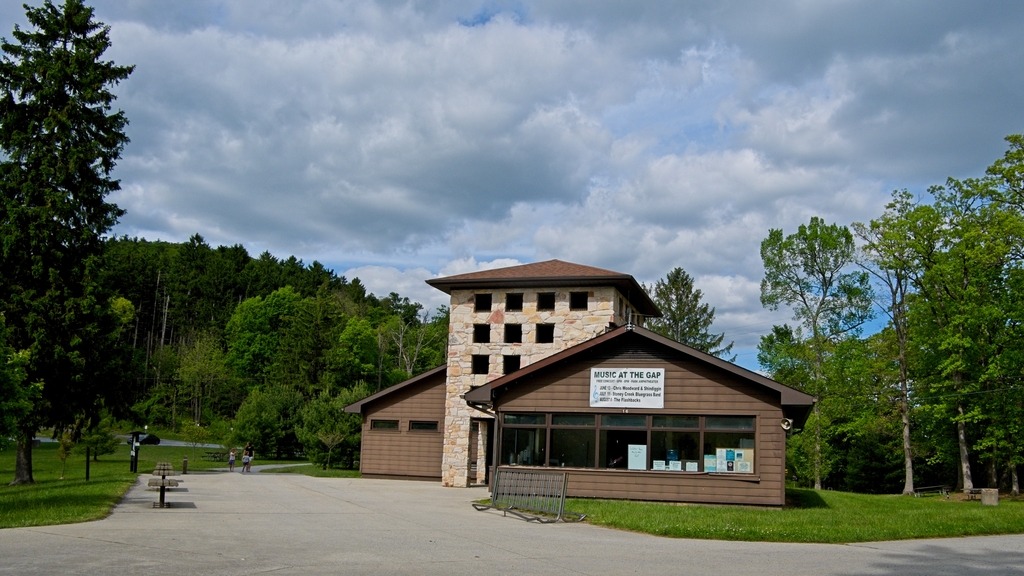
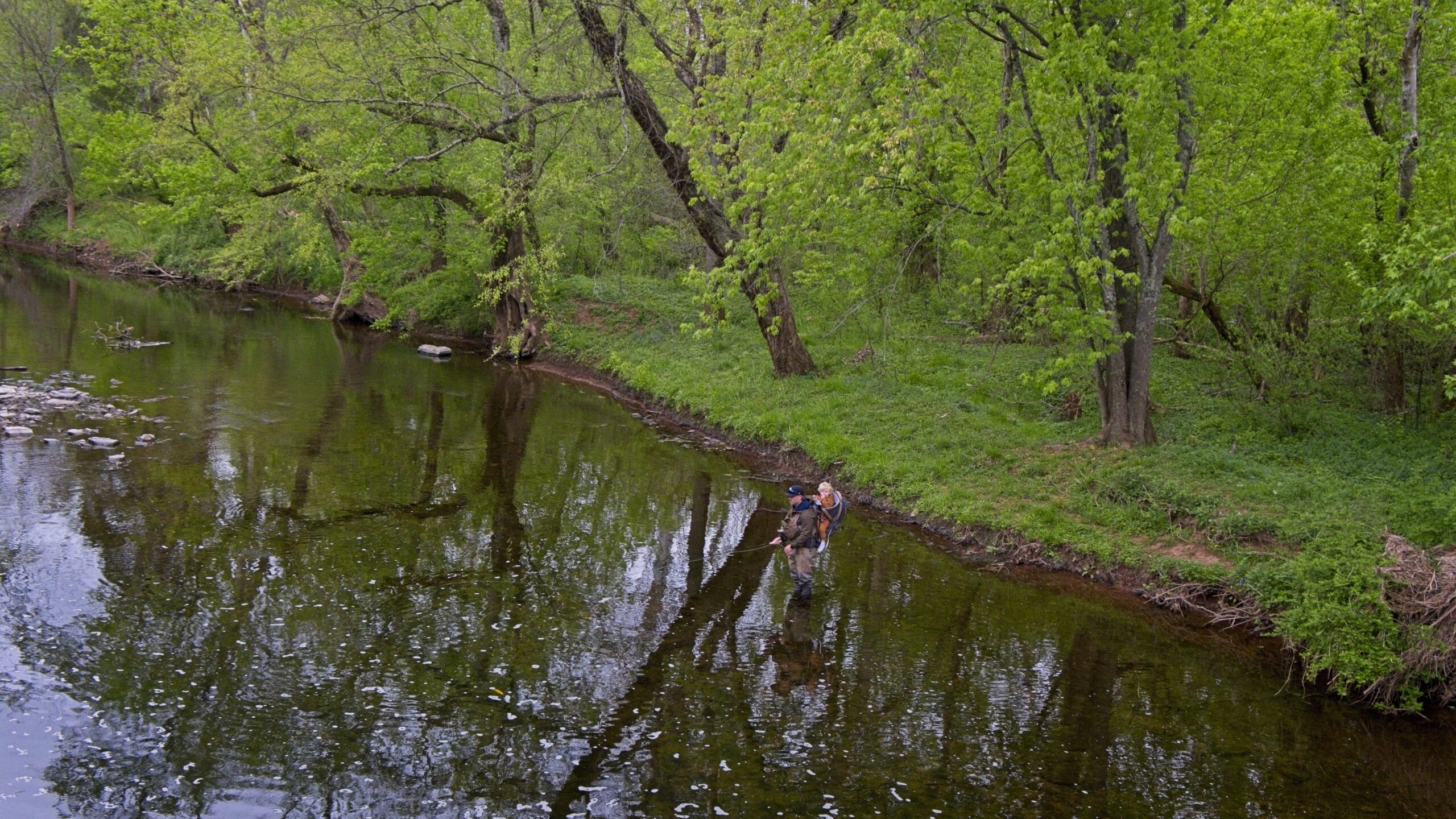
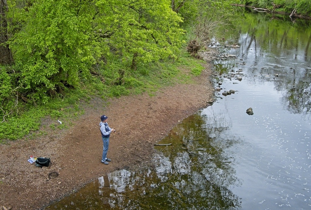
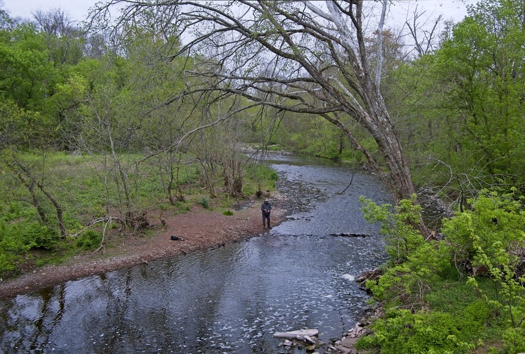
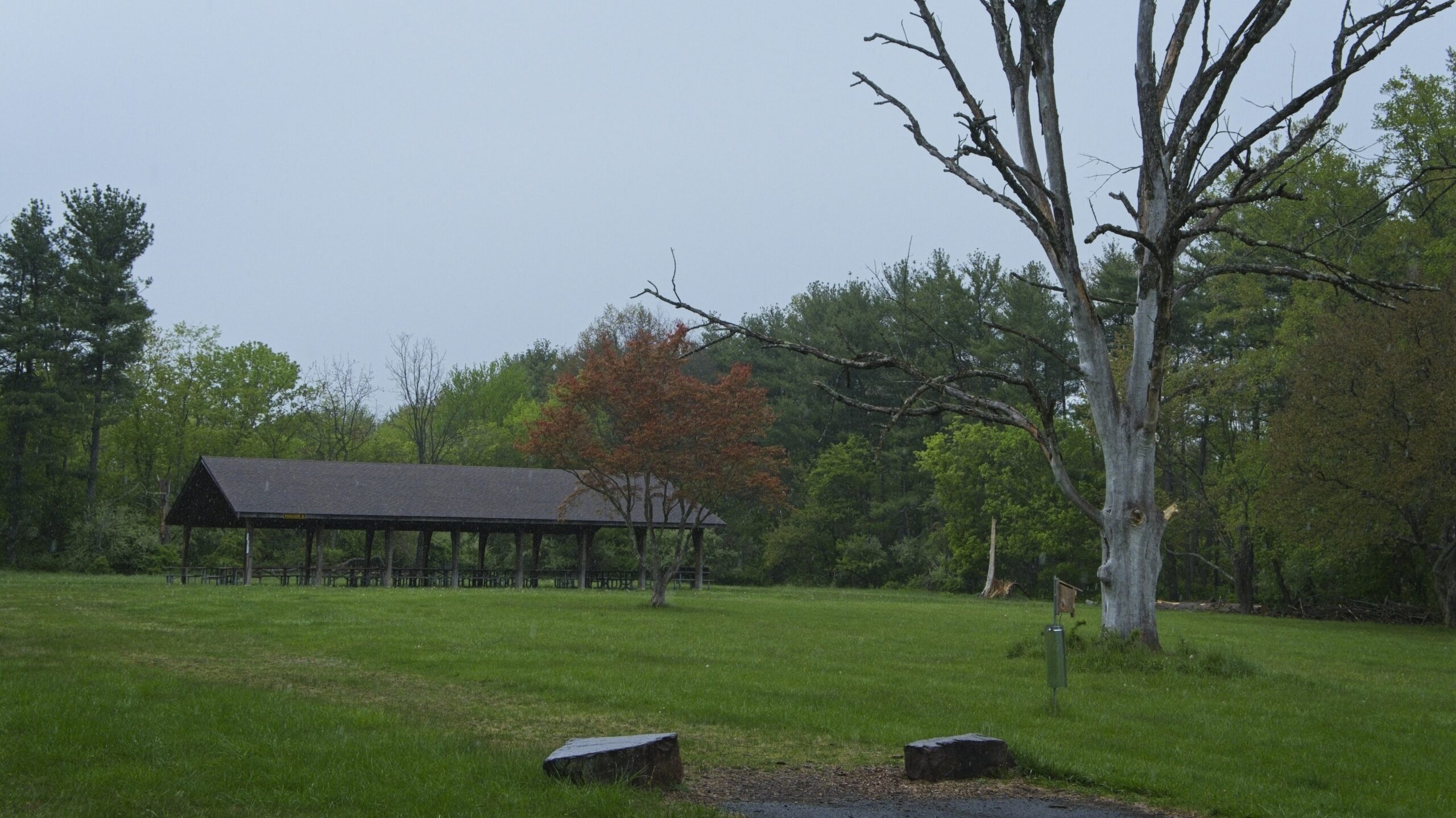
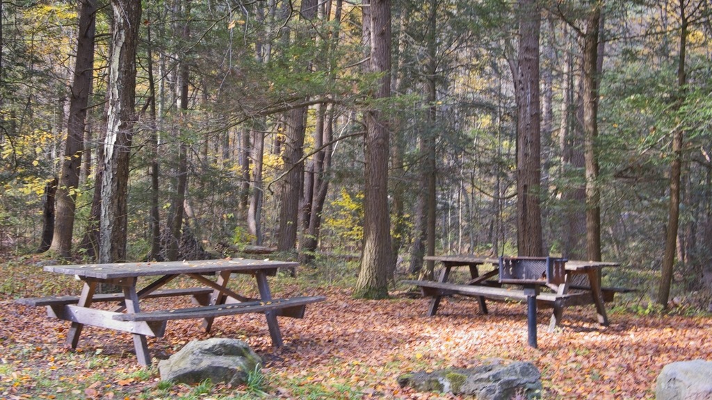
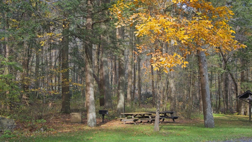
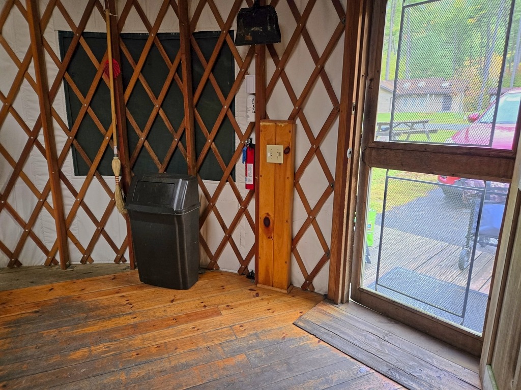
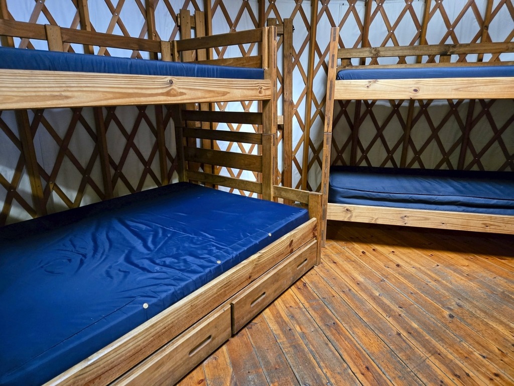
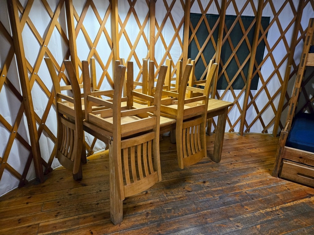
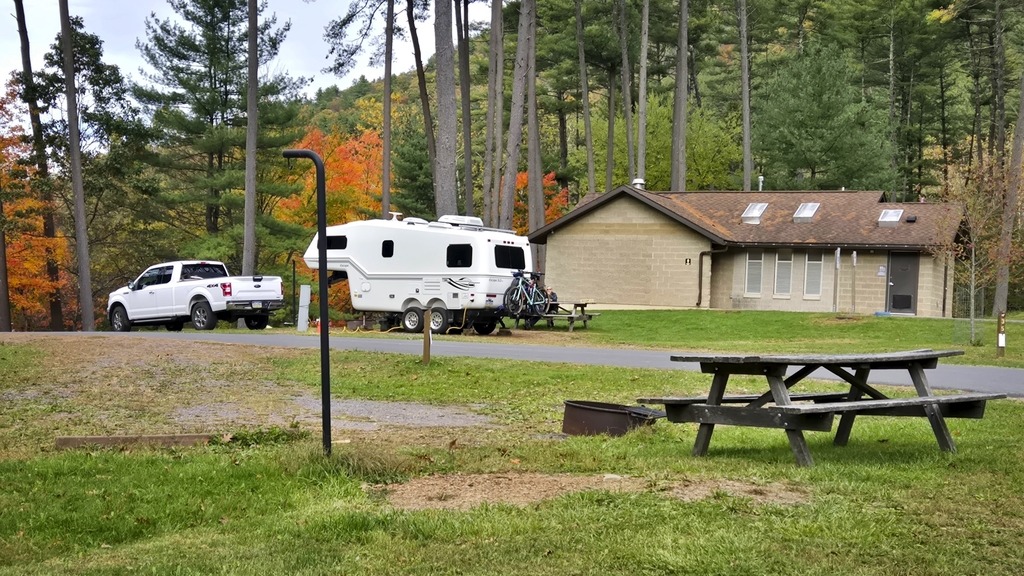
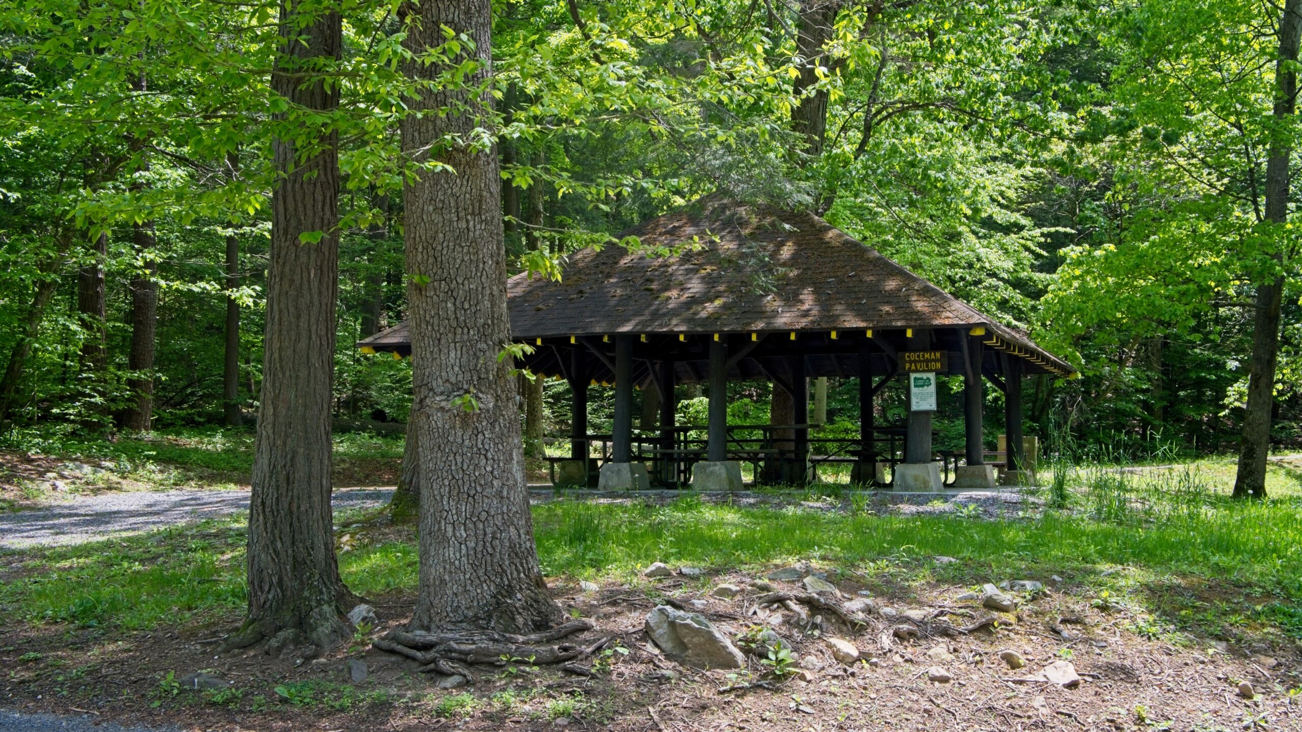
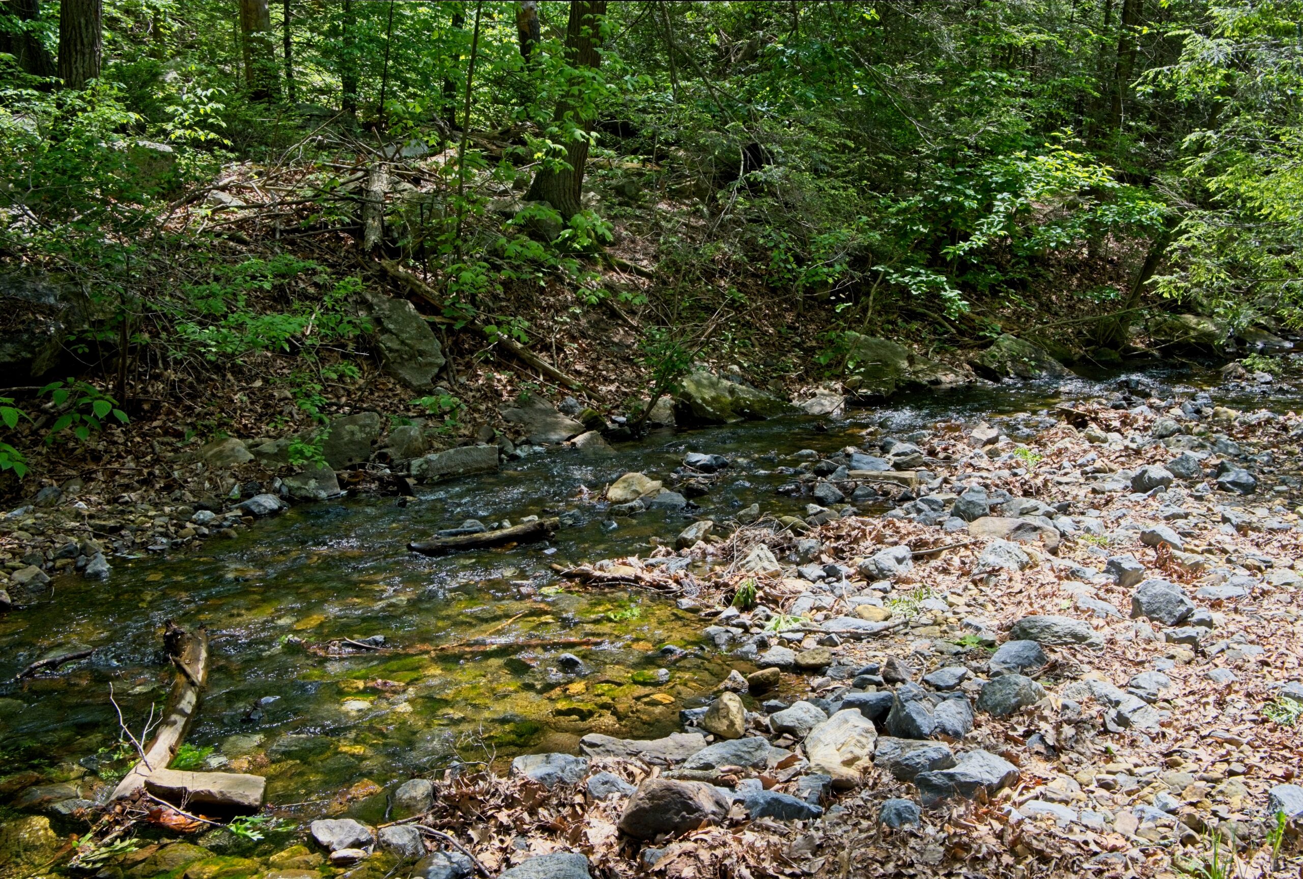
The park today provides historical interpretive signage and opportunities for picnicking and fishing. I previously visited the park, which is featured in this post.
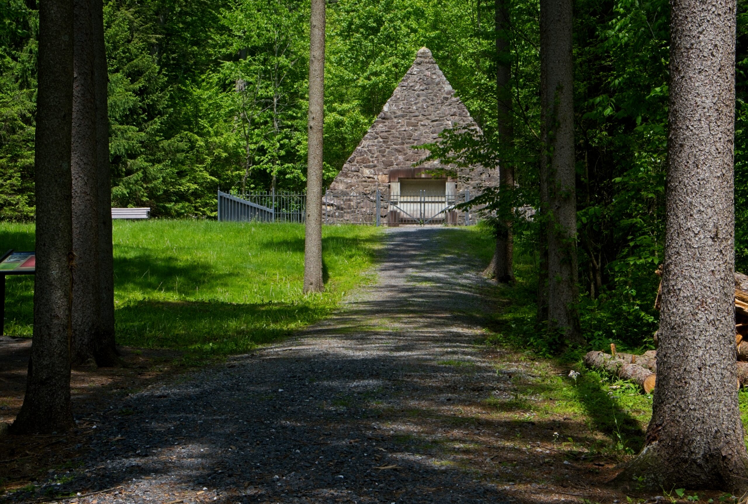
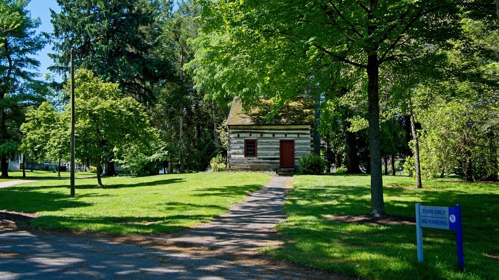
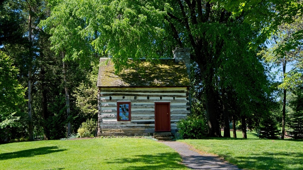
The James Buchanan Cabin (believed to be the birthplace of the first Pennsylvanian to be elected president of the United States) was originally located at the site. It was erected sometime before 1791. The cabin was moved to Chambersburg, where it served various uses. To ensure that the cabin would be adequately stored and maintained, Mercersburg Academy purchased it in 1953 and placed it near Nolde Gymnasium on campus.