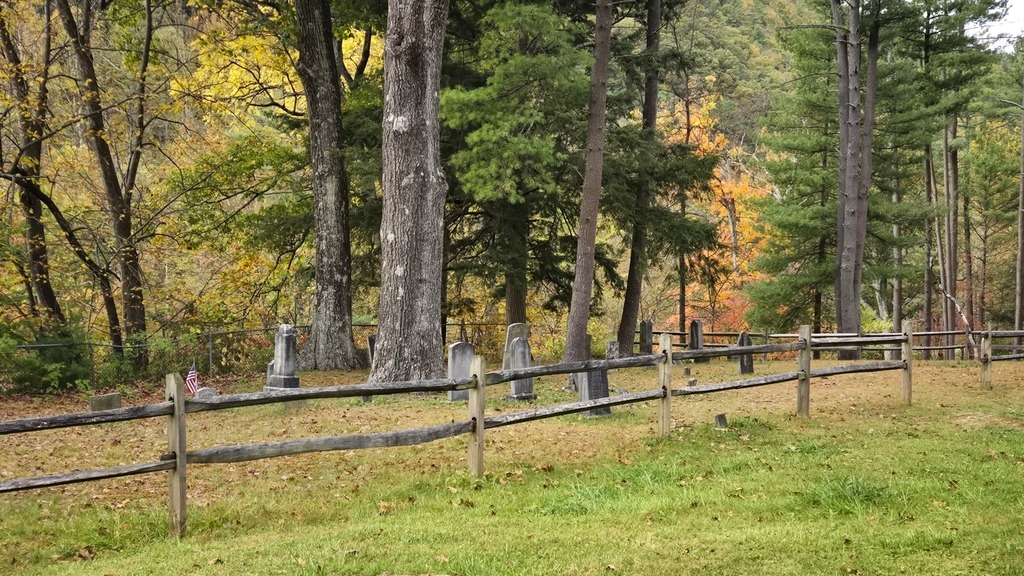
I was surprised to find a small cemetery next to my yurt at the Little Pine State Park campground.
It seems this cemetery was part of the town of English Mills. As is sadly the case with many large reservoirs and lakes in the state, communities are flooded to make way for them.
During 1782, the first American settlers in the Little Pine Valley were brothers John and James English. These brothers built two sawmills along Little Pine Creek in 1809, one of which was at the southern end of the present park boundary. The village of English Mills was established in 1816 and housed the families of the loggers, occupying what is now the park campground. The cemetery of English Mills is on a small knoll in the middle of the campground.
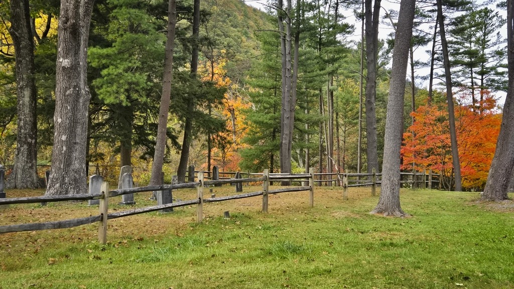
Another prominent name in local history is Robert Carson. He was the first of his line to settle in the Little Pine Valley, and his descendants, who made homes near his homestead, gave rise to the village of Carsontown. Robert Carson was one of the first farmers in the area, and also operated a sawmill. The Carsontown cemetery can be found at the northern end of the park.
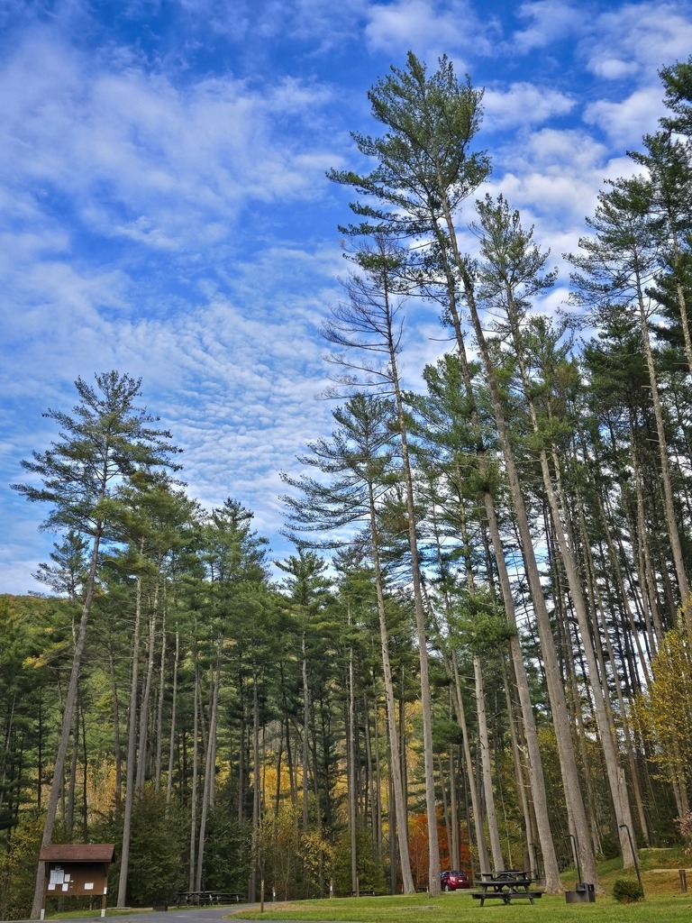
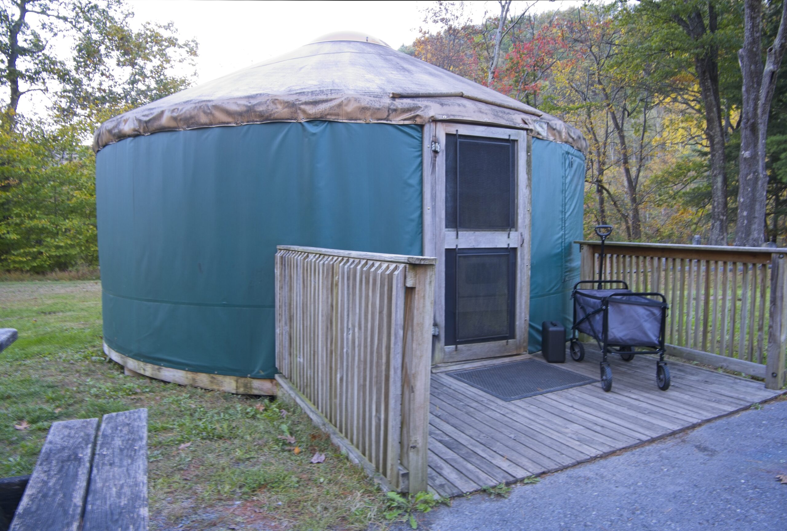
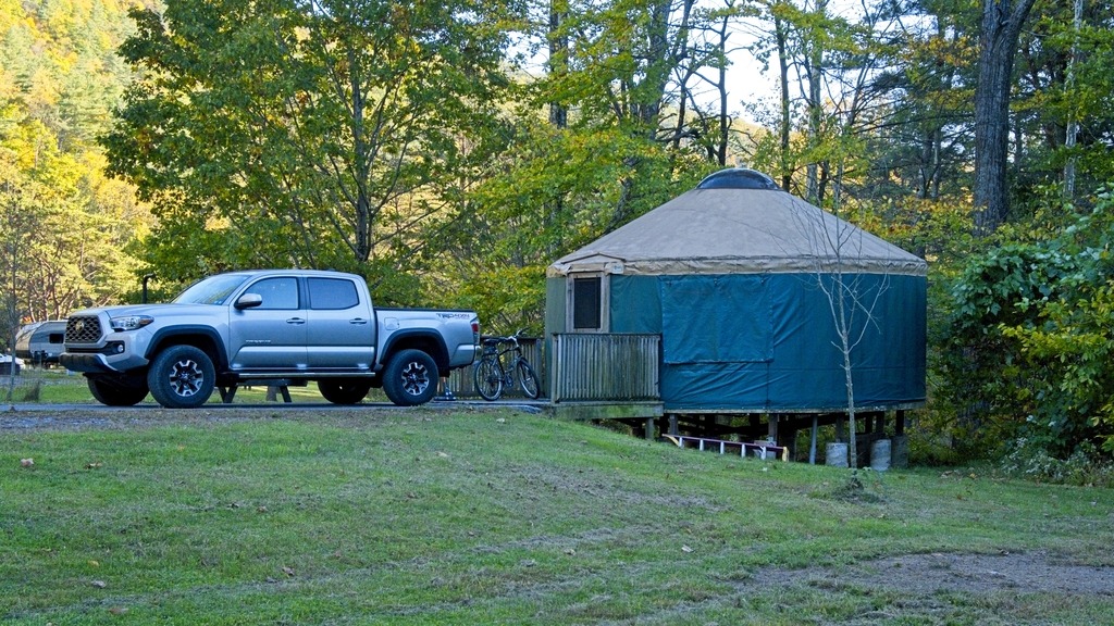
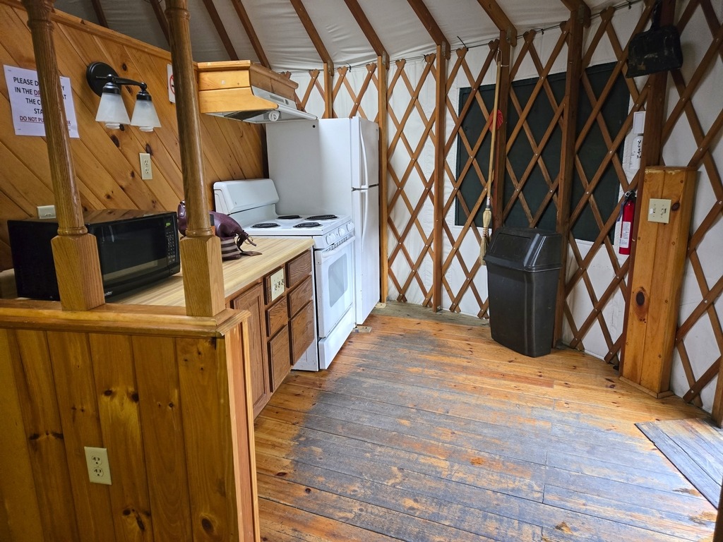
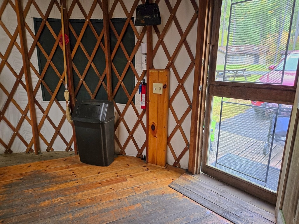
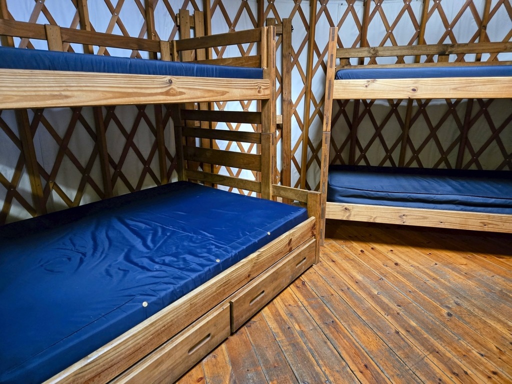
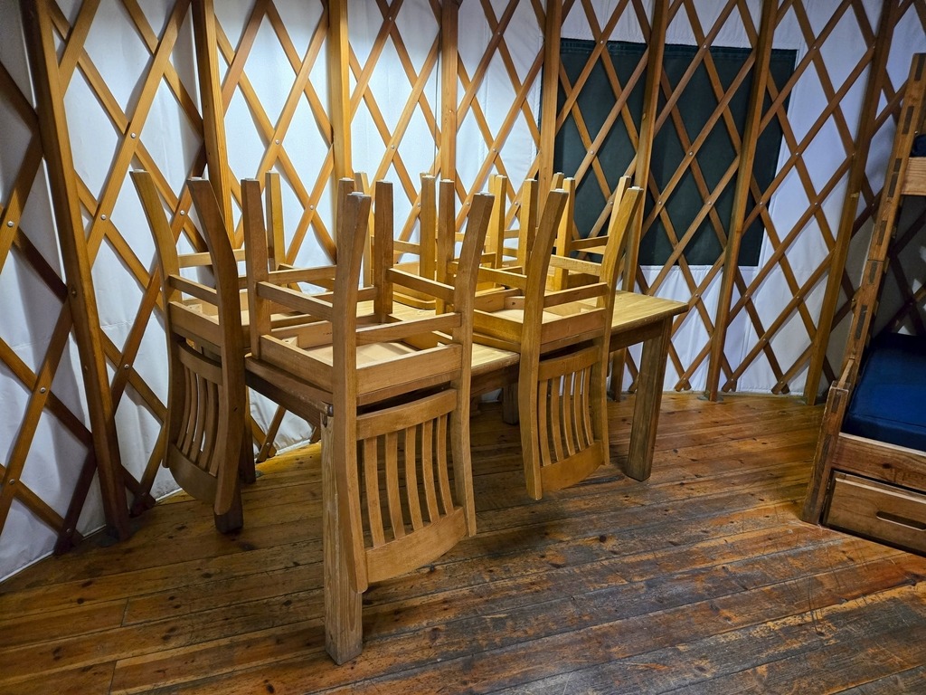
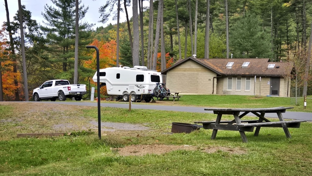
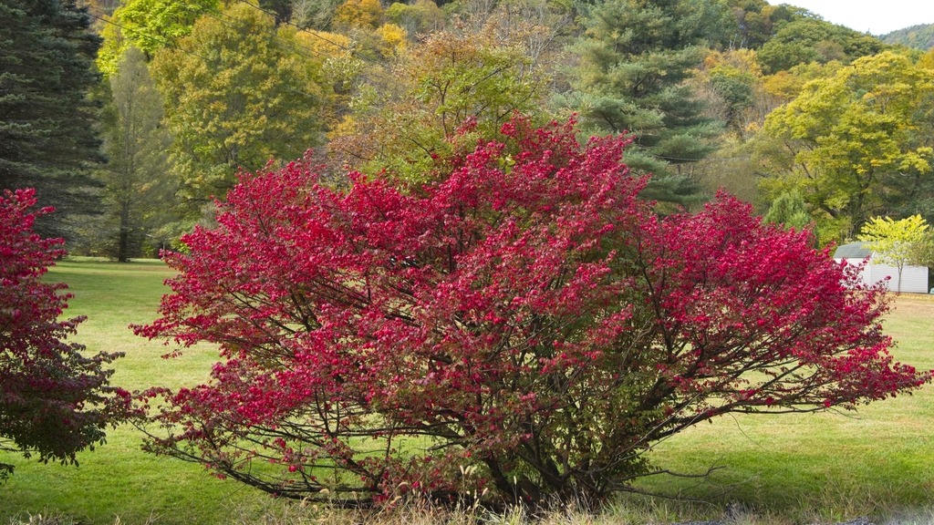
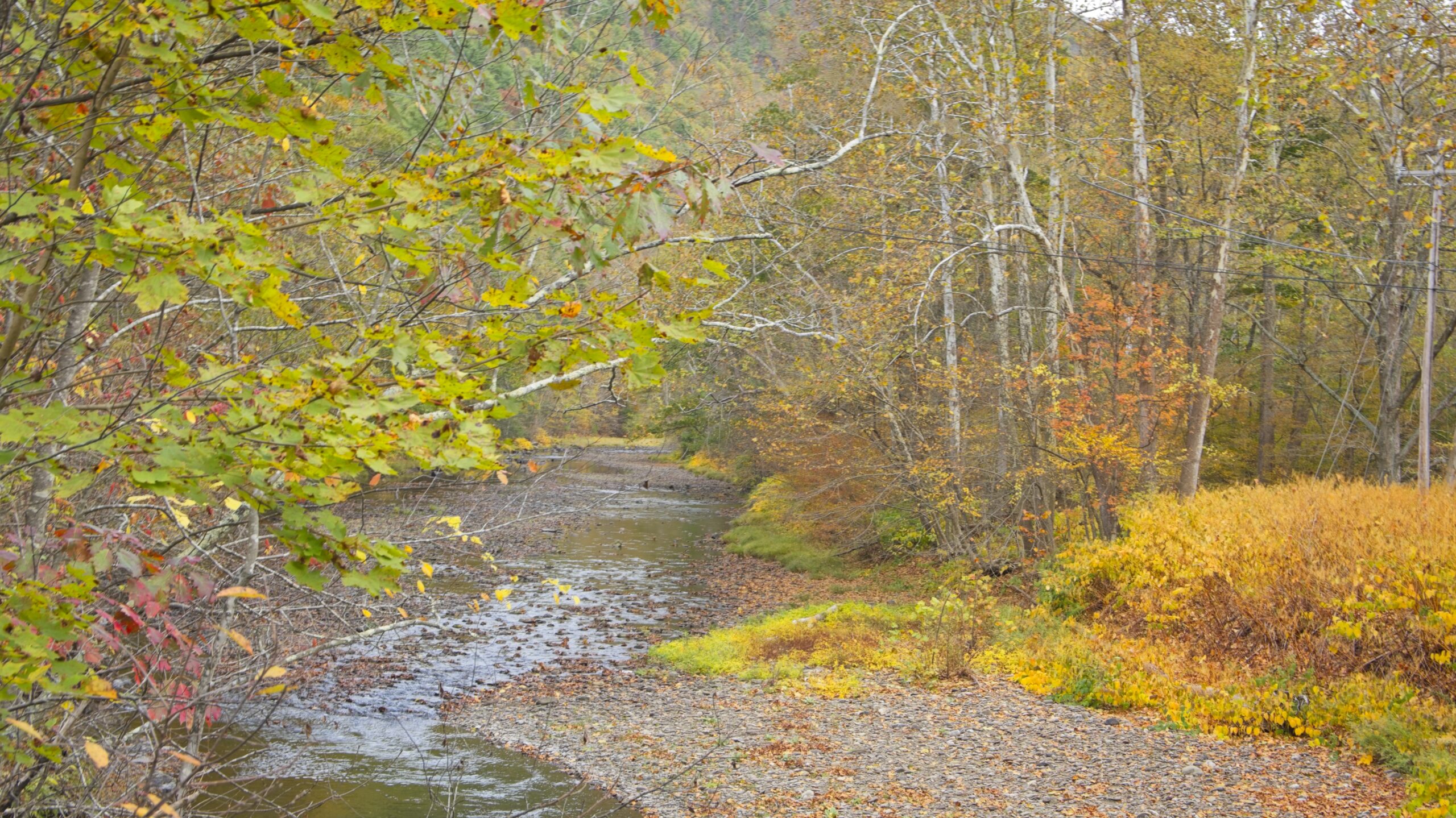
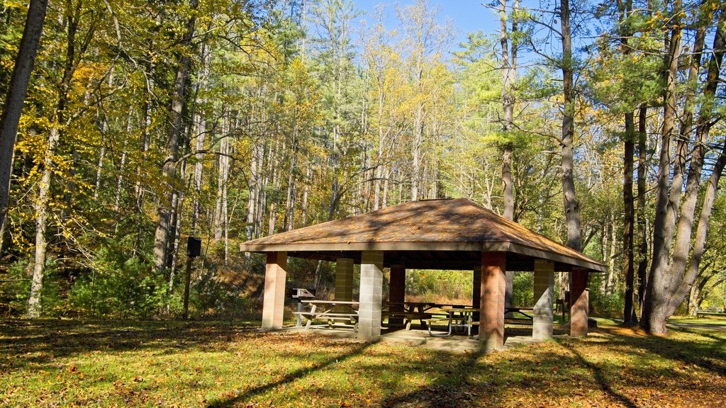
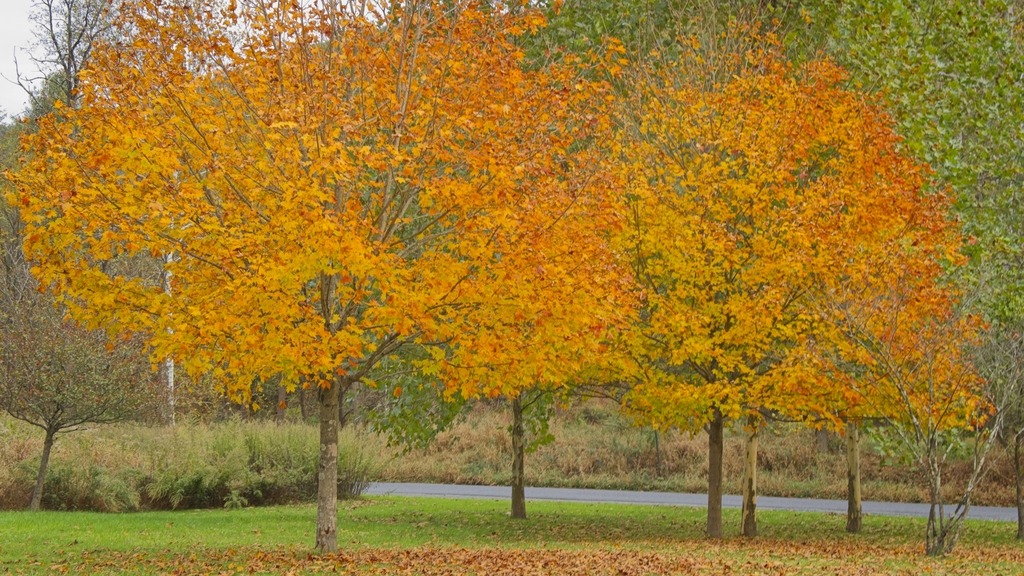
Some other views around the campground.These trees seem much taller than when I first visited the area and largely obscure the view of the dam from the campground.Views of the yurt and the interior (below).The neighbors.
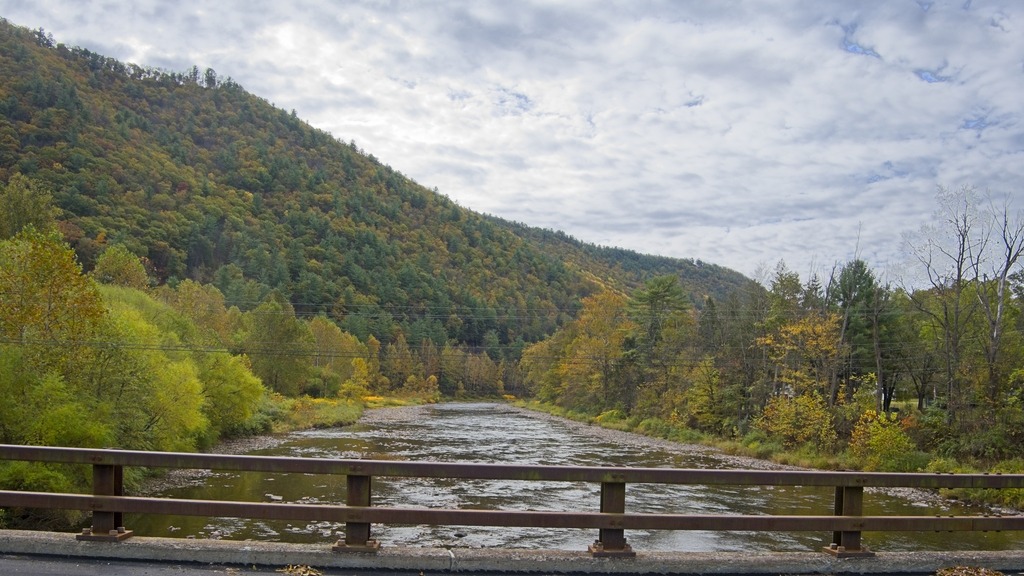
Near Waterville, Route 414 turns north up the Pine Creek valley. The southern part of this valley feels wider and has more towns along the banks of the stream. Most of this area is still in Lycoming County until just south of Blackwell. The Pine Creek area was the site of major logging activity from the late 18th through early 20th century and is now a major hub for recreation. Much of the now second-growth forest is protected by a network of parks, state game lands and state forest,
The aptly named “Bottom Lodge.”There are several points to launch small boats into Pine Creek and access the Rail Trail.From the bridge at Slate RunHilborn Iron Bridge
The town of Wateville sits near the confluence of Pine and Little Pine Creeks in Lycoming County. It is a popular jumping off point for exploring the Pine Creek Valley and the Pine Creek Rail Trail, with a restaurant, bar, hotel and a convenience store with a gas station.
The Pine Creek Rail Trail and one of its iron bridges.This home looks like a former Church and is a popular photo subject.The Waterville Hotel still provides lodging and has a restaurant and bar.
Up Route 44 from the town is the Tiadaghton Forest District Office. It is a large building with exhibits and the grounds are scenic. Though most of Tiadaghton State Forest’s 146,539 acres reside in Lycoming County, some tracts extend into Tioga County, Potter County, Clinton County and Union County. Tiadaghton’s forest features high-country flats bisected by clean, fast-moving mountain streams, including Pine Creek and Slate Run. It is one of eight state forests located in the Pennsylvania Wilds region.
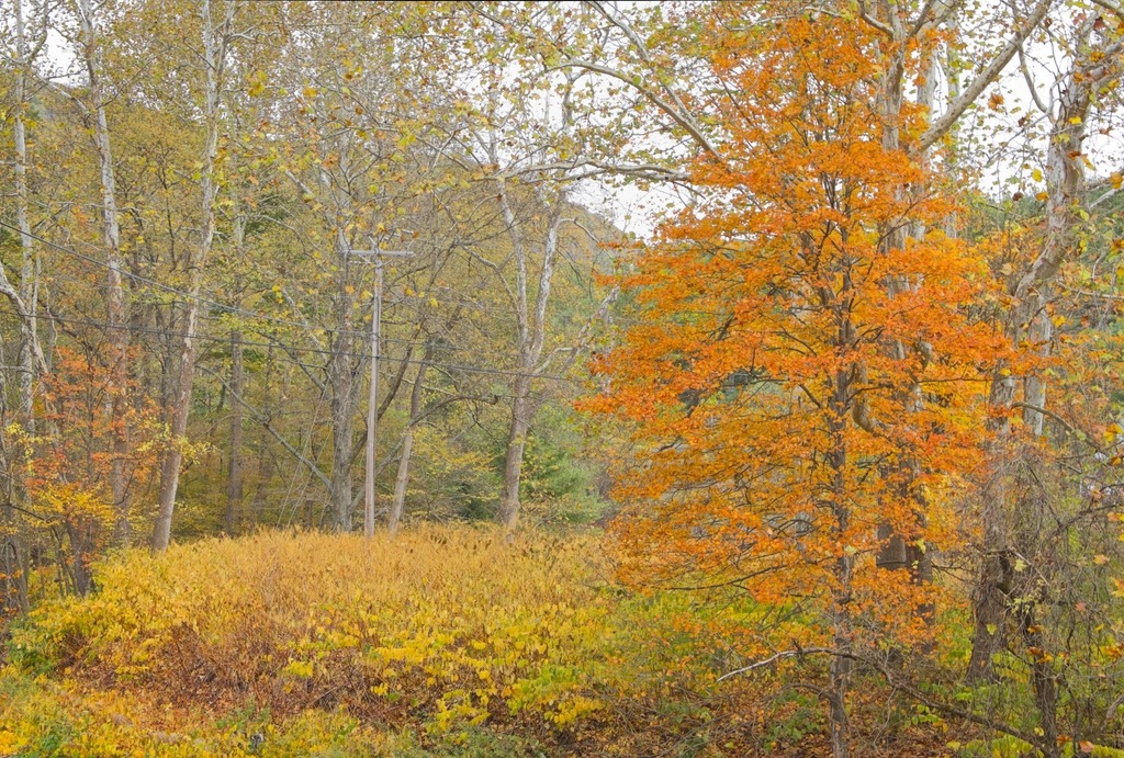
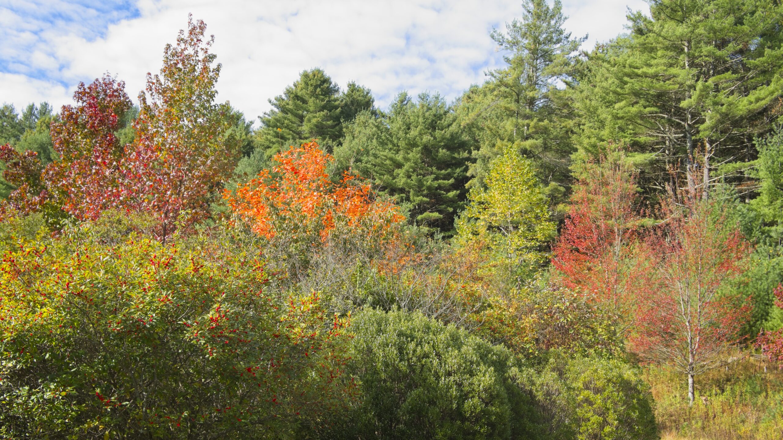
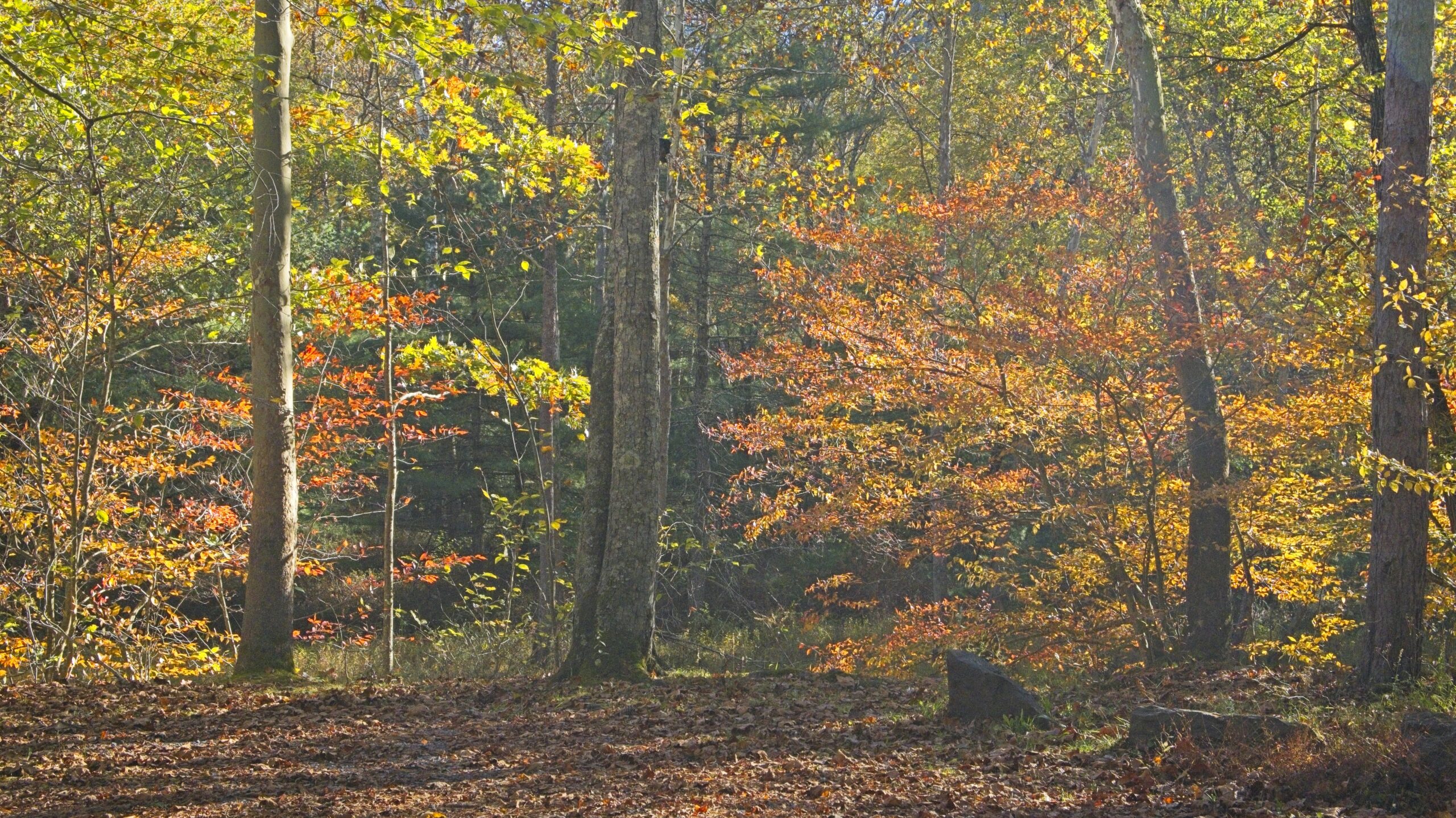
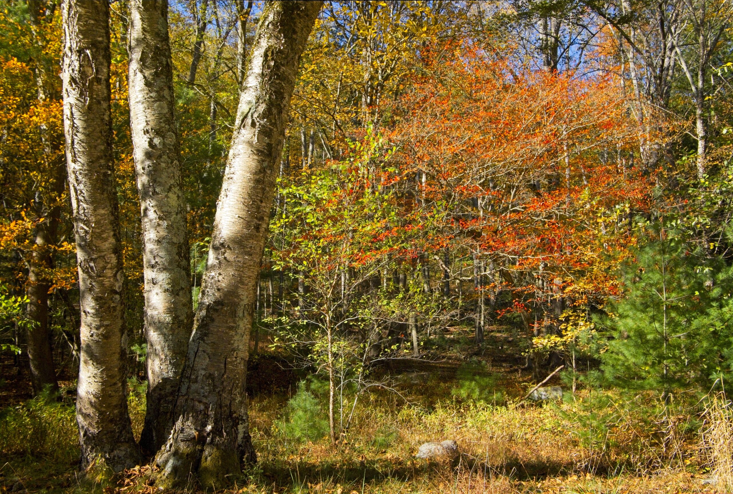
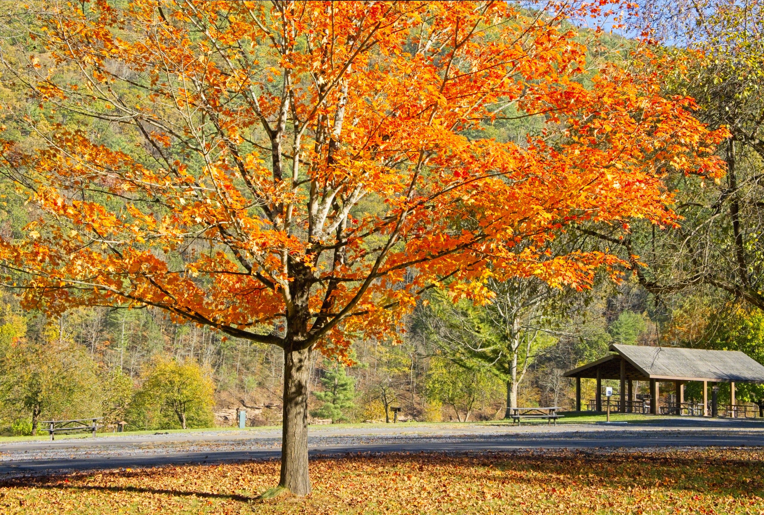
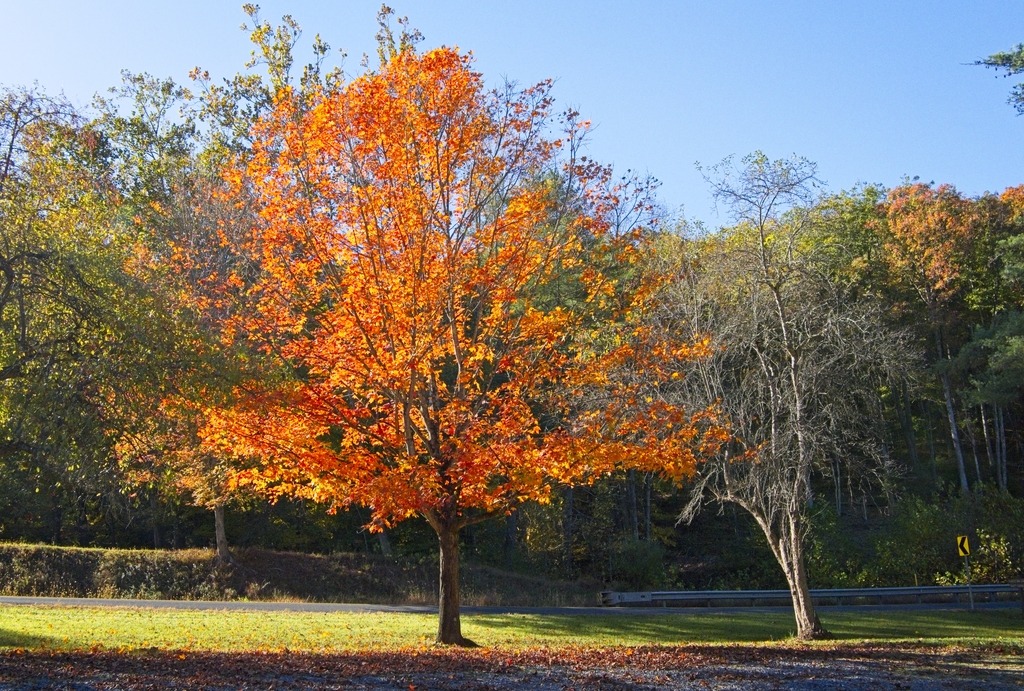
Little Pine State Park has many lovely spots away from the main day use area. The first location going north from Waterville is the Little Pine Lower Picnic Area. On that day, it was showing its fall colors.
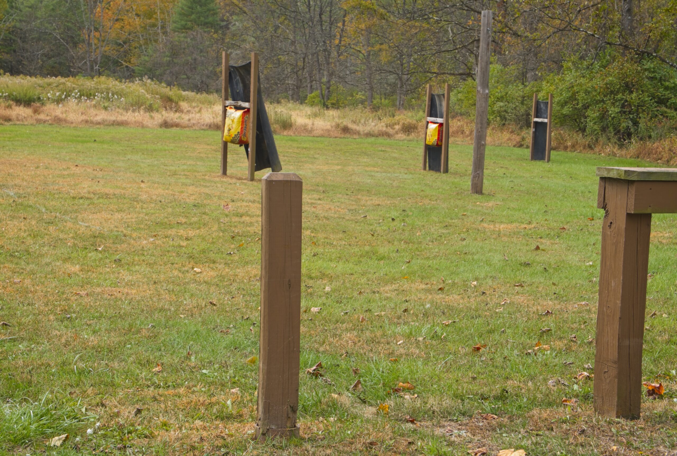
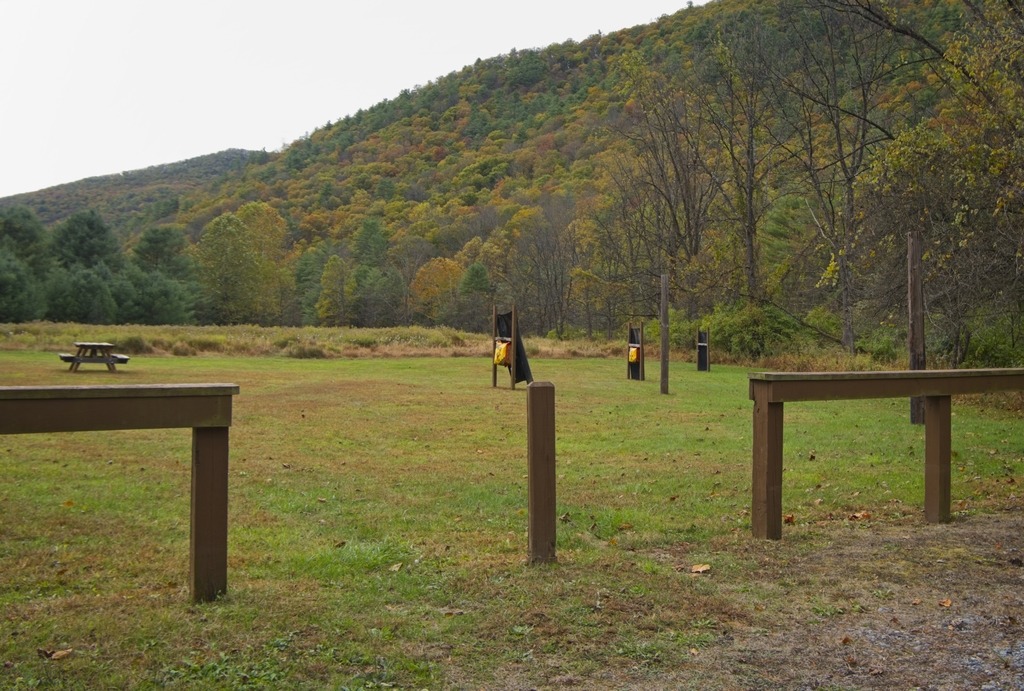
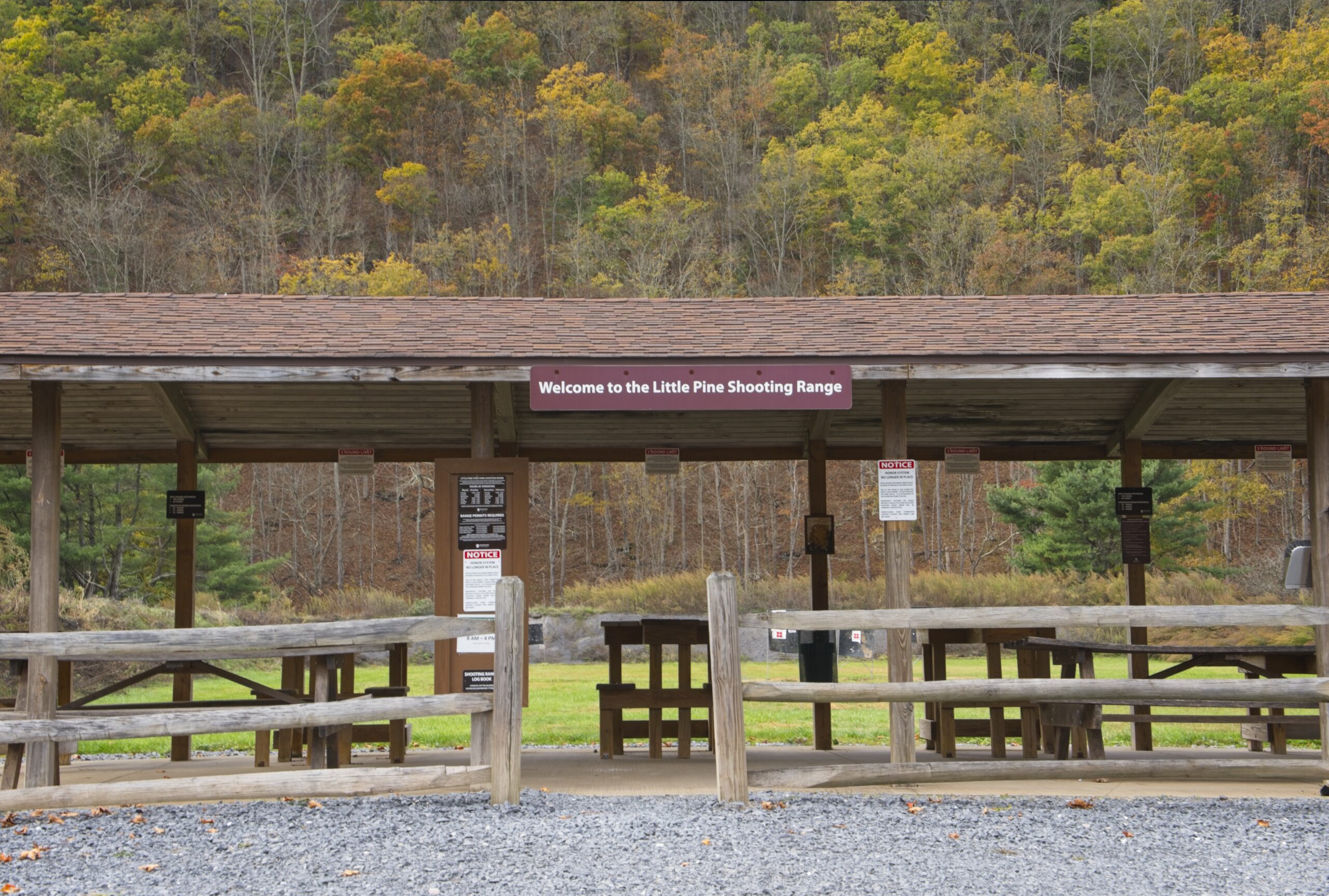
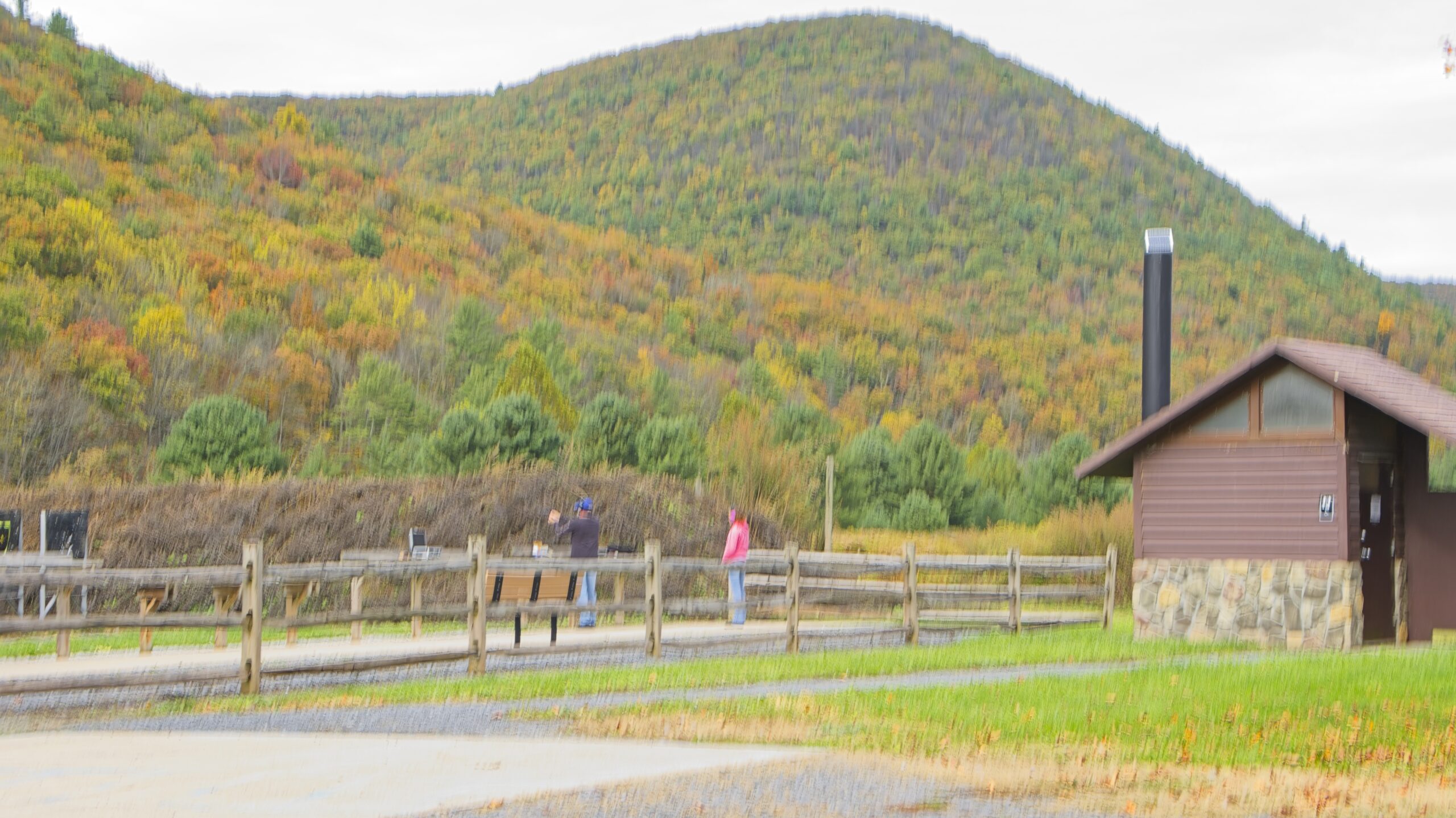
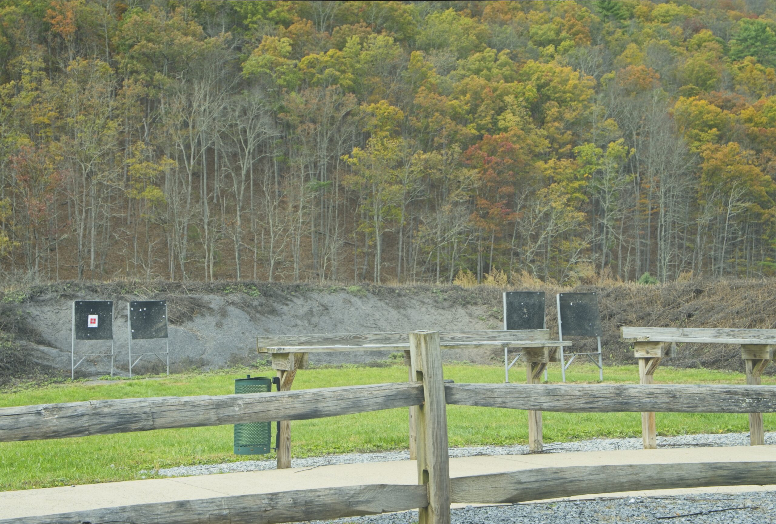
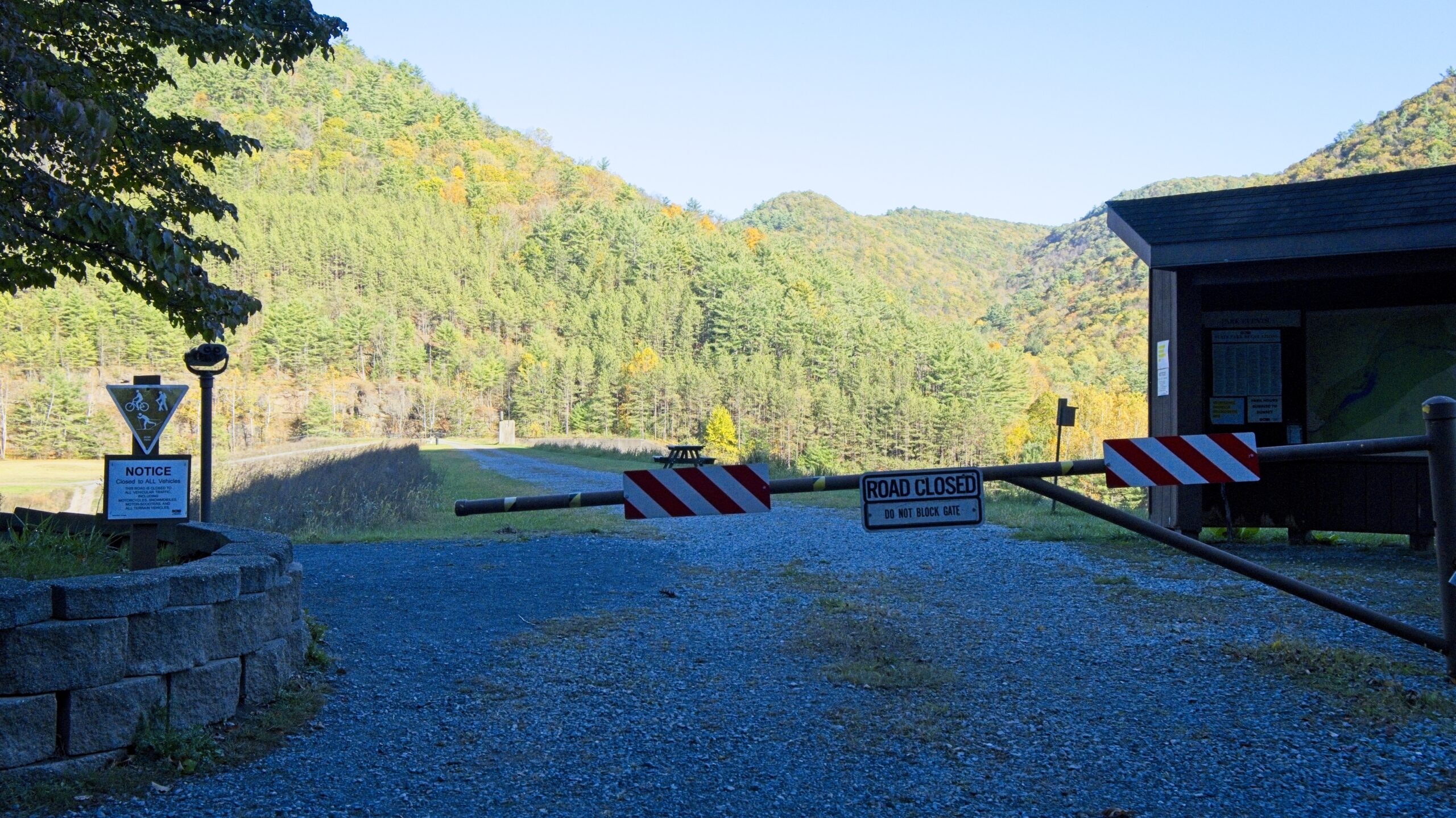
Little Pine State Park also has an archery and a shooting range. to the north of the main day use area. These features are unusual in a Pennsylvania state park.
The archery range.This is one of the nicest shooting ranges I’ve seen in the state.
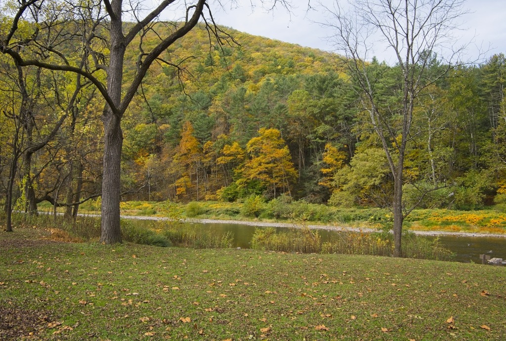
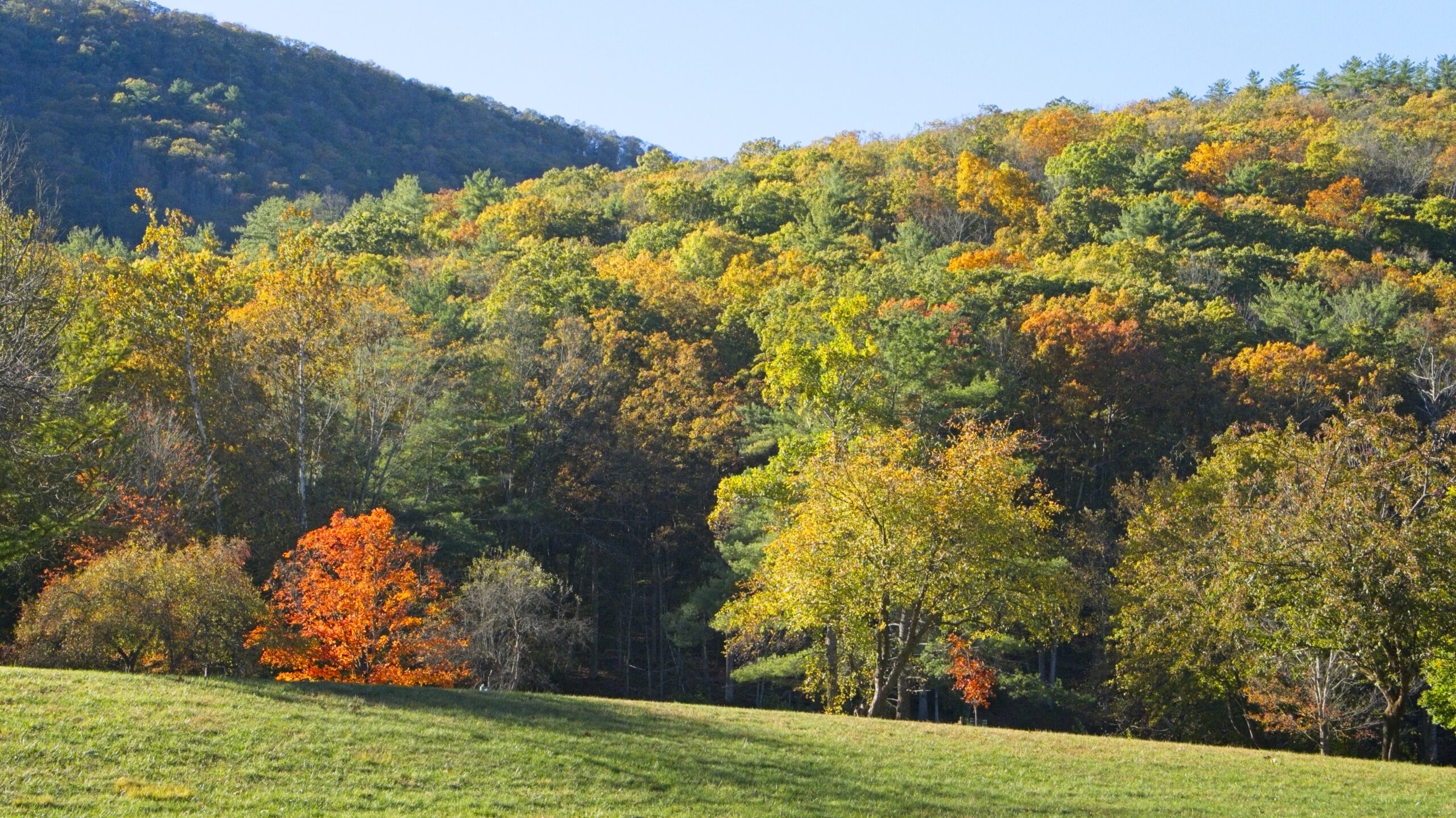
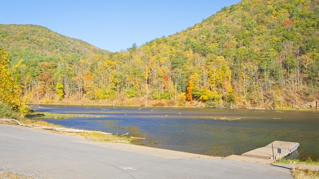
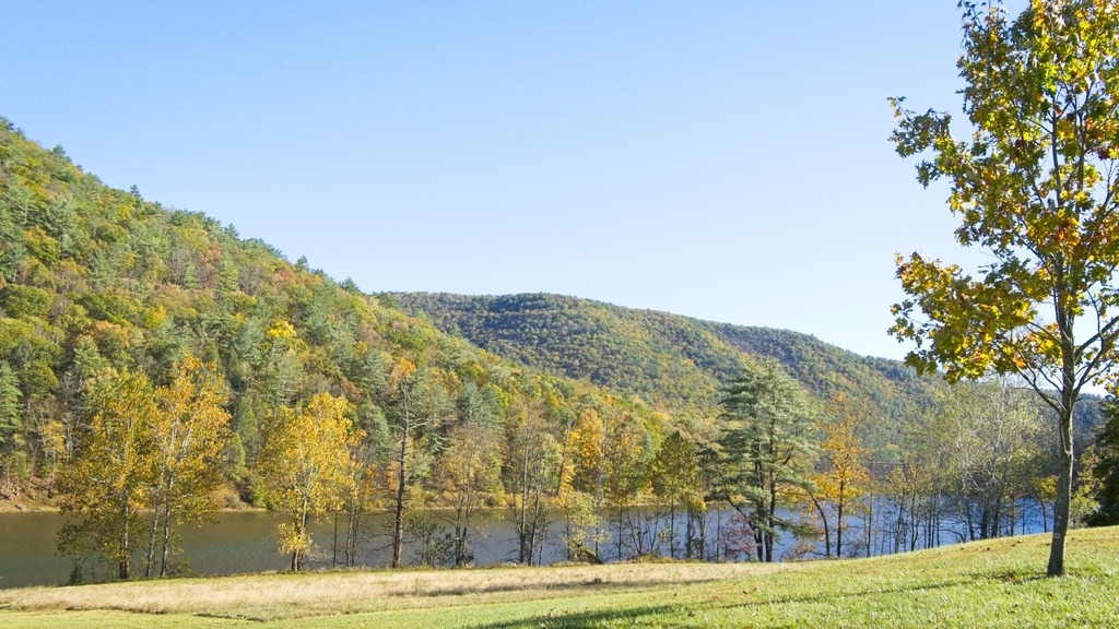
My Autumn destination this October was Little Pine State Park in northern Lycoming County. The 2,158-acre Little park is surrounded by a beautiful mountain section of Tiadaghton State Forest . The 45-acre Little Pine Lake, hiking trails, campground, and nesting bald eagles are prime features of the park, along with nearby access to Pine Creek.
During 1933, the Civilian Conservation Corps (CCC) built Camp S-129-PA and a small picnic area along Little Pine Creek. During 1937, the camp was closed and the property turned over to the Bureau of State Parks. When the park opened, it used many of the CCC buildings. In 1950, a dual-purpose flood control/recreation dam was constructed. The park remained a picnic area until the campground, beach, and swimming area were constructed in 1958. In 1972, Hurricane Agnes flooded and destroyed many park facilities, including all but a few remnants of the former CCC facilities. Hurricane Agnes was the only time water went over the spillway. In 1975-76, federal disaster aid helped build a new beach house, office, maintenance area, and a new campground with modern restrooms. As part of the “Growing Greener” initiative, several major improvements began in 2002, including, enlarging and modernizing the park office and putting showers in the campground.
I made my way into Lycoming County back in September. Before we head there, here are some remaining shots of Sullivan County, featuring the town of Muncy Valley. This particular house, on a sharp turn on Route 42, is always decked out with lots of flowers, in season.
The view from the firehouse across the road.
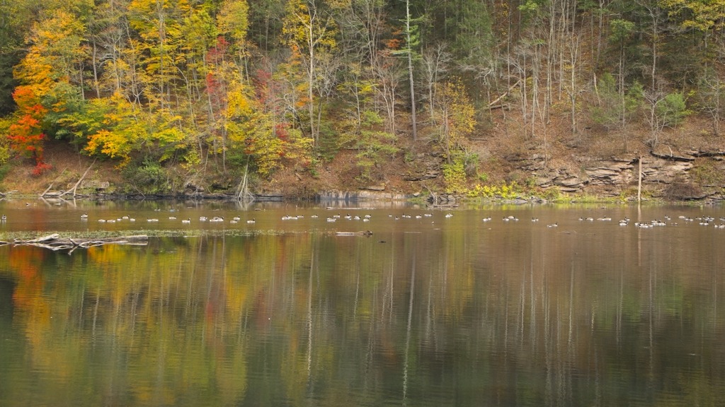
I travelled into Lycoming County on this trip because I specifically wanted to see Rose Valley Lake, which is known as a birding area. The lake is a reservoir that covers 389 acres (1.57 km2) in Gamble Township. The three-hundred-and-sixty-acre artificial lake is owned by the Commonwealth of Pennsylvania, and was given its name, “Rose Valley Lake,” in May 1973 by the Pennsylvania Fish Commission, following approval by the commonwealth’s Geographic Names Committee. Created by the Pennsylvania Fish Commission, via the construction of a twenty-five-foot-high, four-hundred-and-ten-foot-long earthen dam on Mill Creek in Lycoming County, Pennsylvania, Rose Valley Lake is a three-hundred-and-sixty-acre artificial body of water. The most common game species of fish in the lake are largemouth bass, bluegill, black crappie, muskellunge, yellow perch, chain pickerel, pumpkinseed and walleye.
The area around the lake is quite scenic.A small church in Lycoming County.A valley farm.Another interesting old church.Mt. Zion Lutheran Church. A lot of ancestors and relatives are buried here.Eating lunch at the Lairdsville Cornerstone Restaurant.An interesting player piano.And an old stove.
Finally, the Lairdsville Covered Bridge is a wooden covered bridge over Little Muncy Creek in Moreland Township, Lycoming County. It was built in 1888 and placed on the National Register of Historic Places in 1980. It is also known as the Frazier Covered Bridge. The window with the exposed beams is a unique feature.
Heading south from Tioga County to find a couple of the more urban state parks, I first went in search of a covered bridge in Lycoming County that I had missed on a previous trip. This bridge was on private property, so only a distant shot was possible. The James S. Fink covered bridge was built in 1986 utilizing a Stringer truss design. It crosses Larry’s creek in Anthony Township. The structure is 62 feet long and is open to vehicle traffic, but it is on a private road.
Susquehanna State Park is a 20-acre riverfront recreational area is in the city of Williamsport. The Williamsport Chamber of Commerce operates this park in cooperation with the state. It is primarily a location for river access for boating and fishing. There are also opportunities for picnicking, wildlife watching, and gongoozling (google it). It is next to the boarding point for the riverboat Hiawatha.
Labor Day chill by the river.The boat rampThe Lance Corporal Abram Howard Memorial Bridge
Milton State Park is an 82-acre island on the West Branch Susquehanna River, between the boroughs of Milton and West Milton. The northern half of the park has day use facilities and the southern half remains in a wooded state for hiking and nature study. It also has a boat launch, playground and extensive soccer fields.
Lycoming County has a total of four covered bridges. I visited two of them on my way home from Potter County.
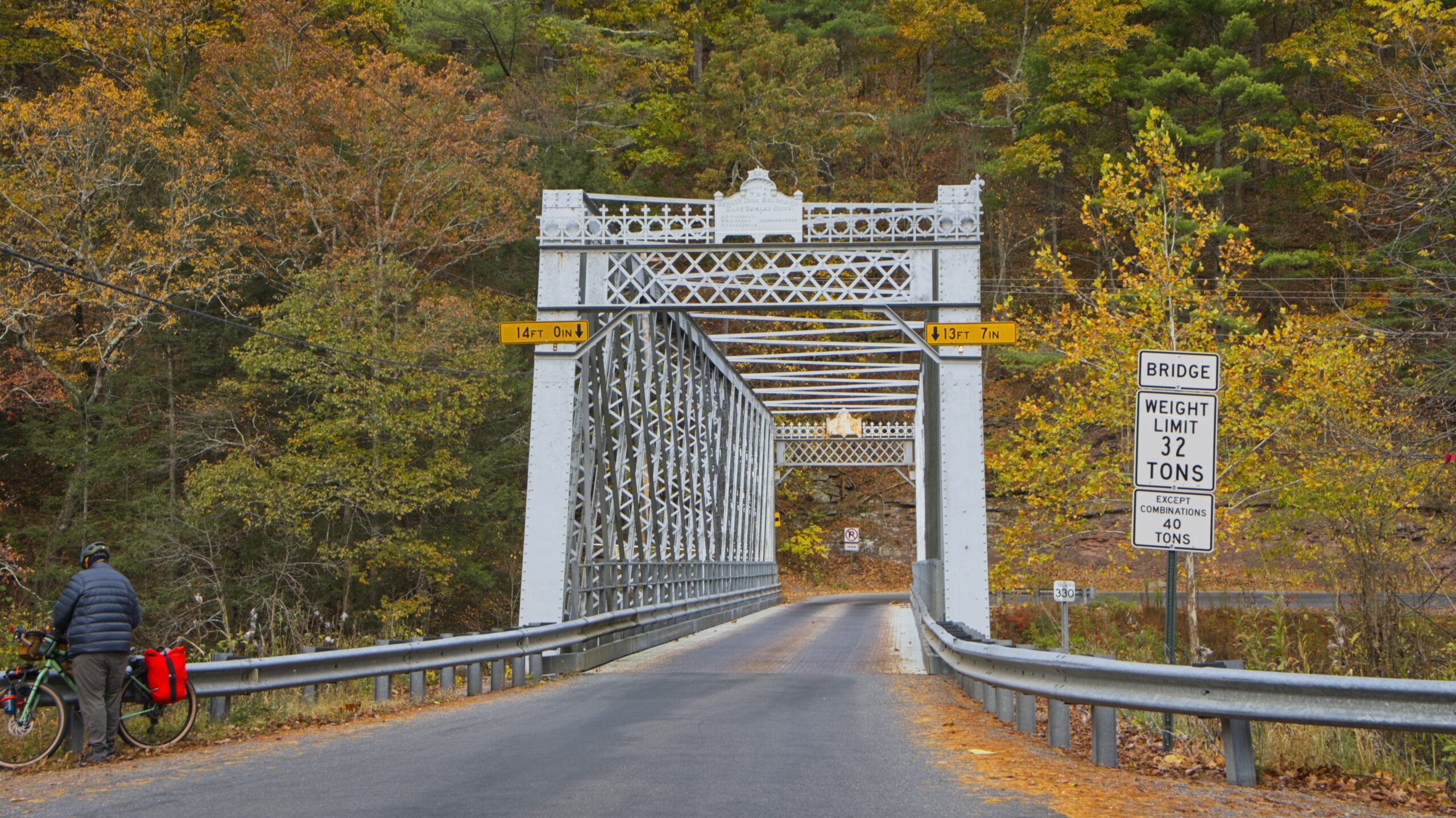
The Buttonwood Bridge (also known as the Blockhouse Bridge) was built in 1898 with the structure spanning Blockhouse Creek. It uses a queen post with king post truss and is 74 feet 2 inches (22.6 m) long. The bridge is in good condition with a new wood shingled roof and pressure treated floor. The structure is open to traffic all year long. The bridge was placed on the National Register of Historic Places in 1980 and had a major restoration in 1998. It is the shortest and most heavily used of the three covered bridges remaining in Lycoming County.
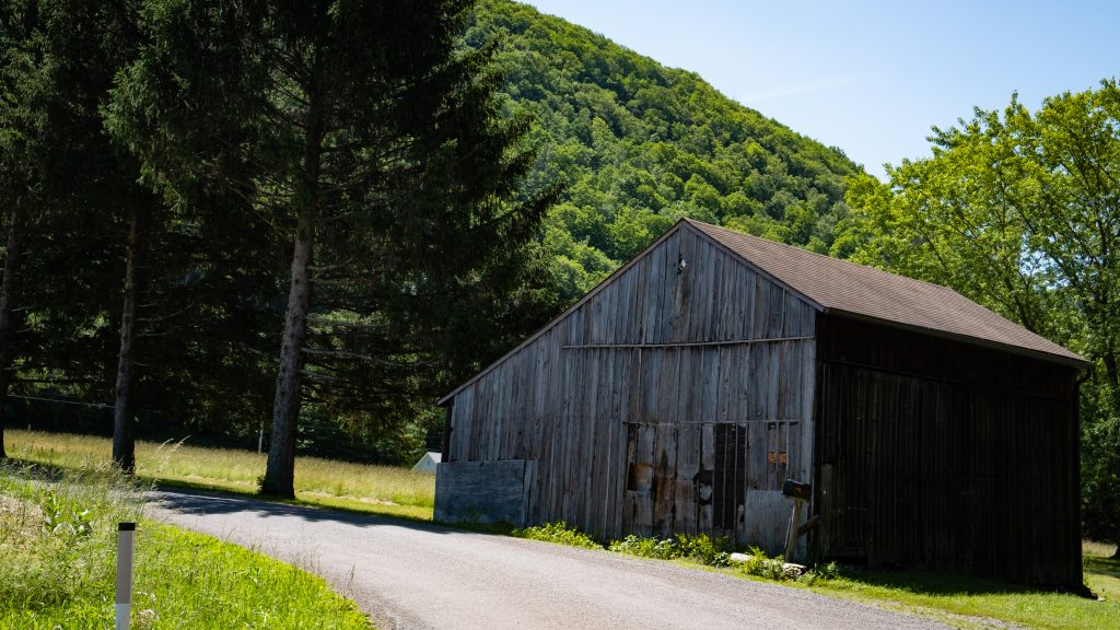
A couple of looks inside the bridge.An interesting sawmill operation near the bridge.Very nice looking barn.Anther pretty barn shot.
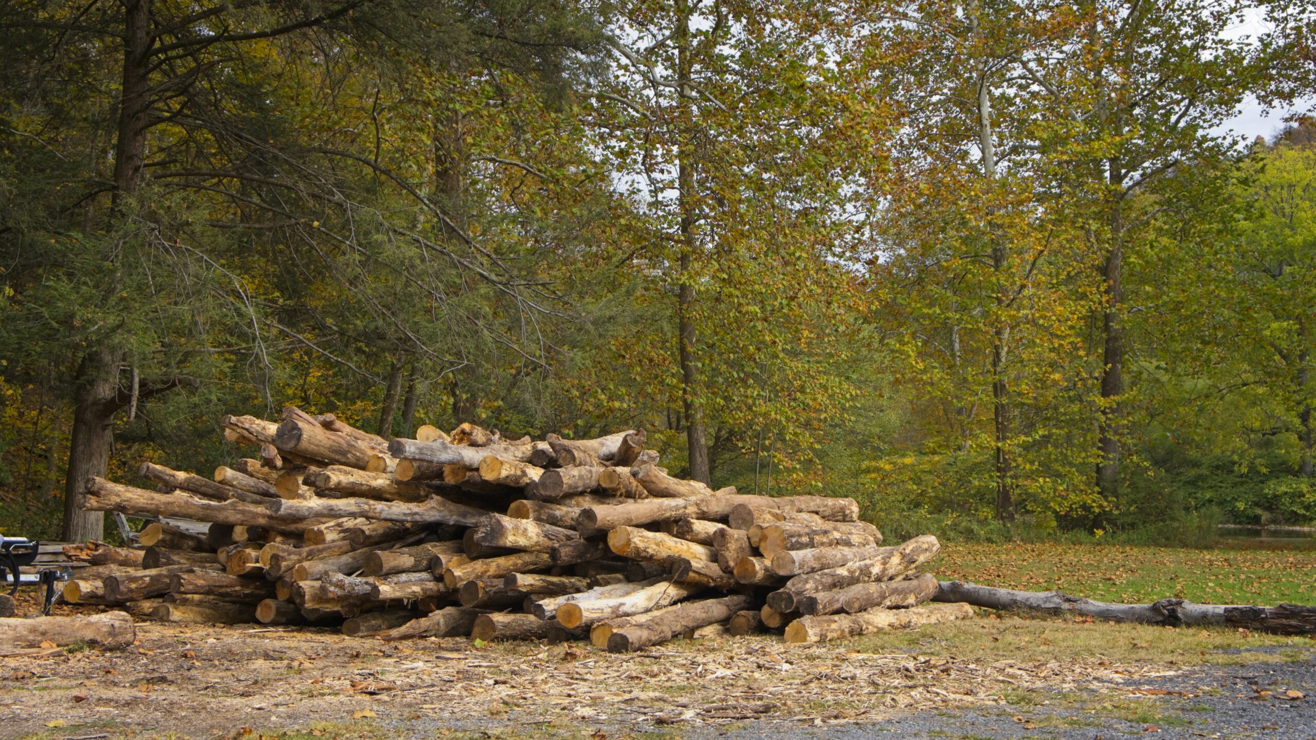
The next bridge to the south was the Cogan House Bridge. This bridge was built in 1877 of the Burr Arch design with a structure length of 94 feet crossing Larry’s Creek. Cogan House bridge is open to traffic, and leads to a dead end private drive near the game lands. The bridge was placed on the National Register of Historic Places in 1980, and had a major restoration in 1998. The Cogan House bridge is named for the township and village of Cogan House, and is also known by at least four other names: Buckhorn, Larrys Creek, Day’s, and Plankenhorn.
The Cogan House Covered Bridge was constructed by a millwright who assembled the timber framework in a field next to the sawmill, before it was reassembled at the bridge site. It was the only bridge on Larrys Creek that survived the flood of June 1889, and one of only a handful that were left intact in the county. Although the bridge used to carry a steady flow of tannery and sawmill traffic, the clearcutting of the surrounding forests meant the end of those industries by the early 20th century.
The route to the bridge.The other side.A look inside.Cattle on a hill en route to the bridge.
My trip on this Juneteenth weekend began in earnest when I turned left from Route 15 onto Route 44 in Lycoming County. I was soon at my first stop of the day.
Upper Pine Bottom State Park is one of the smallest parks in the state park system, measuring in at 5 acres. It provides picnic tables next to a stream and access to hunting and fishing. It also acts as an entry point for hiking and cross country skiing in the nearby Tiadaghton State Forest.
Yes, we are here.A nice place for a picnic, with a stream beyond.
My next stop was Ole Bull State Park which lies off Route 44 and a short distance down Route 144. Ole Bull State Park consists of 132 acres along the Kettle Creek Valley in Potter County in an area called the Black Forest because of its dense tree cover, mountainous terrain, and wilderness habitat. The park has a fascinating history. It is named for Ole Bornemann Bull, the famous Norwegian violinist who toured the United States in the 1850s. In 1852, Ole Bull purchased a large tract of land in Potter County and attempted to develop a series of Norwegian settlements. He began construction of a home, at what now is called Ole Bull Vista, which has never finished. After a year of severe hardships, the majority of the colony disbanded and moved west into Michigan and Wisconsin.
The park has swimming in Kettle Creek, a campground, and the usual array of state park activities.
The swimming area in Kettle Creek. I bet this was cold.A monument to Ole Bull, provided by the citizens of Norway, in 2002.A bridge over Kettle Creek to the campground.Further up Route 44 is Water Tank Vista.
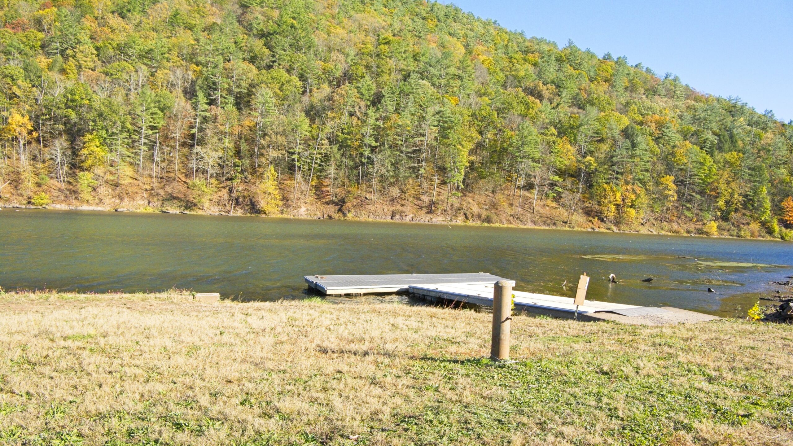
Lyman Run State Park was next on the list. One of several parks in this area with a dam, it has a 45 acre lake, swimming, camping, boating and other activities.
Another “refreshing” dip.A view of the dam.Nice bridge to picnic area.
A daytime visit to Cherry Springs State Park followed. This park is well known for being one of the best spots on the east coast for dark nighttime skies and astronomical viewing. The park has a public astronomy field for short term viewing and an overnight field. There is also a campground and opportunities for hiking.
A stargazing dome at the park.A picnic area.A sunset view at Cherry Springs State Park.
This park is beloved, but I have to admit I was a bit disappointed when I returned the following night. The weather was fairly clear with low humidity, and the moon was below the horizon. However, I didn’t feel that the number of visible stars was significantly better than what I could see an hour from home in southeastern Pennsylvania. I didn’t attempt to photograph any. I have seen much better displays of stars during my adulthood in the Florida Keys and on the eastern shore of Maryland.
Near the park is Cherry Springs Vista, which sits directly on Route 44.
Cherry Springs Vista – this is one of my favorite types of views, all trees as far as the eye can see.