A qucik trip into Lancaster County proved to a source a frustration. A higher level of traffic and lighting challenges did not yield the photographs I had hoped for. However, I took the opportunity to check out the rebuilt Smorgasbord and Restaurant at the Hershey Farm Resort. I had a very nice meal, and I am glad to see the business back in operation after a fire.
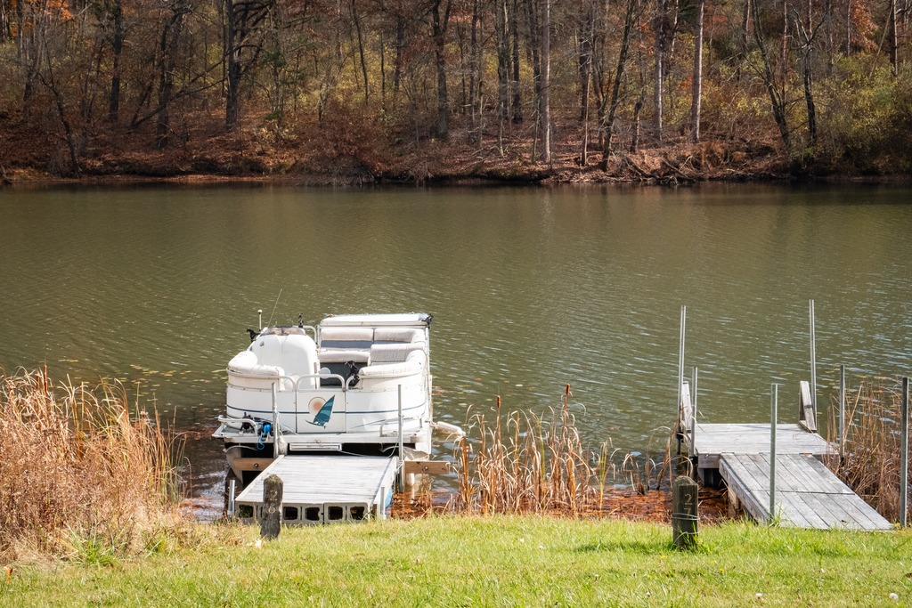
Here are some views of eastern Lancaster County in September.
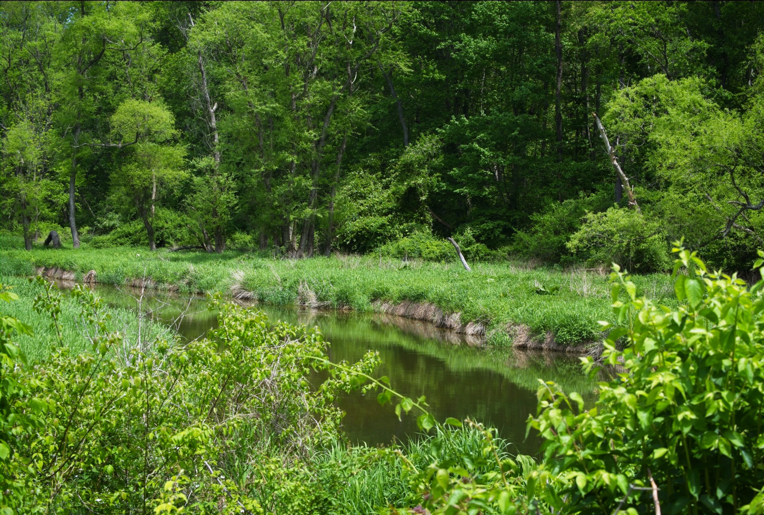
Today’s post takes us back to the area of the Octoraro watershed in southern Chester and Lancaster counties, with a focus on some of the farms and animals of the area.
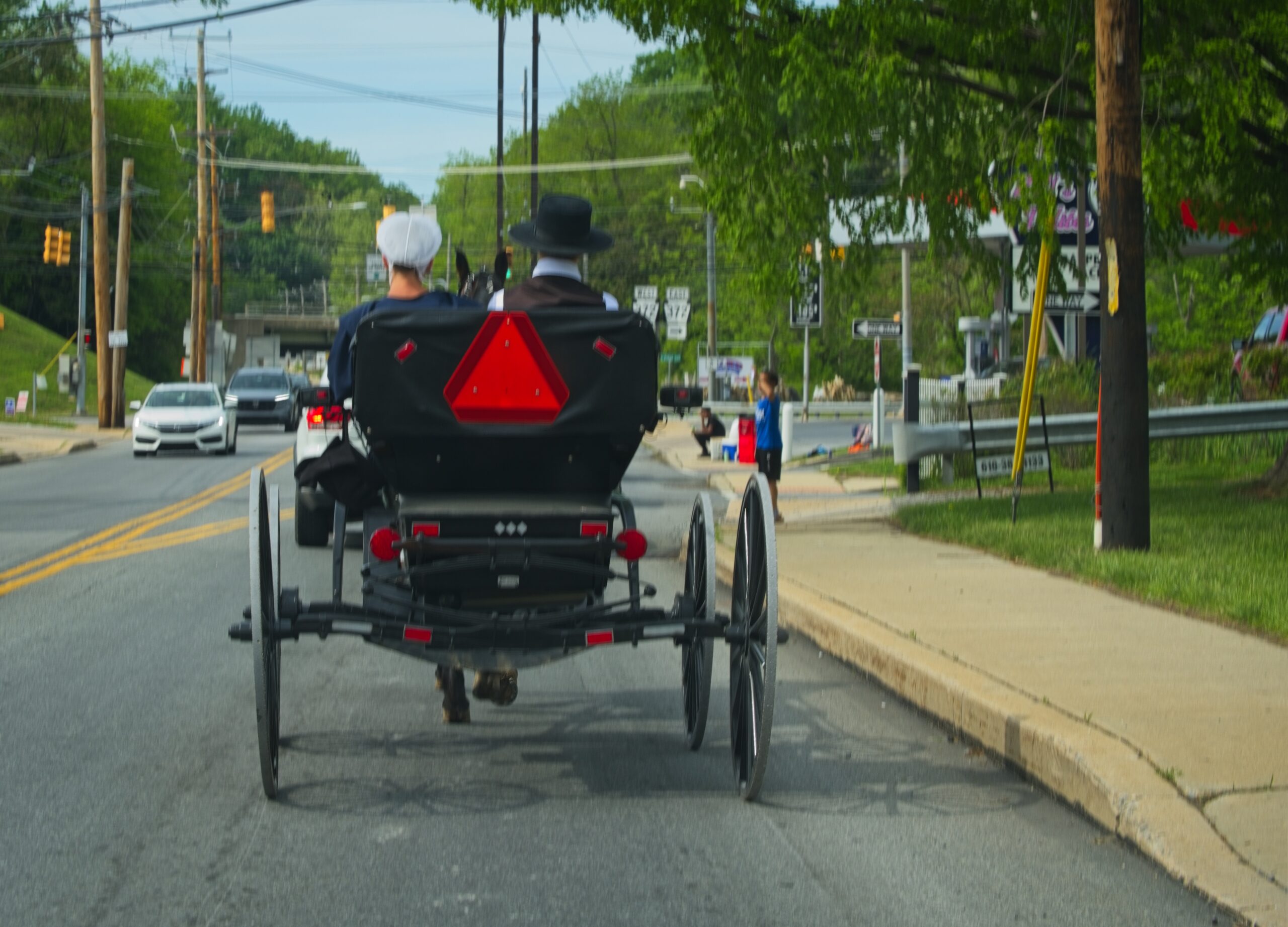
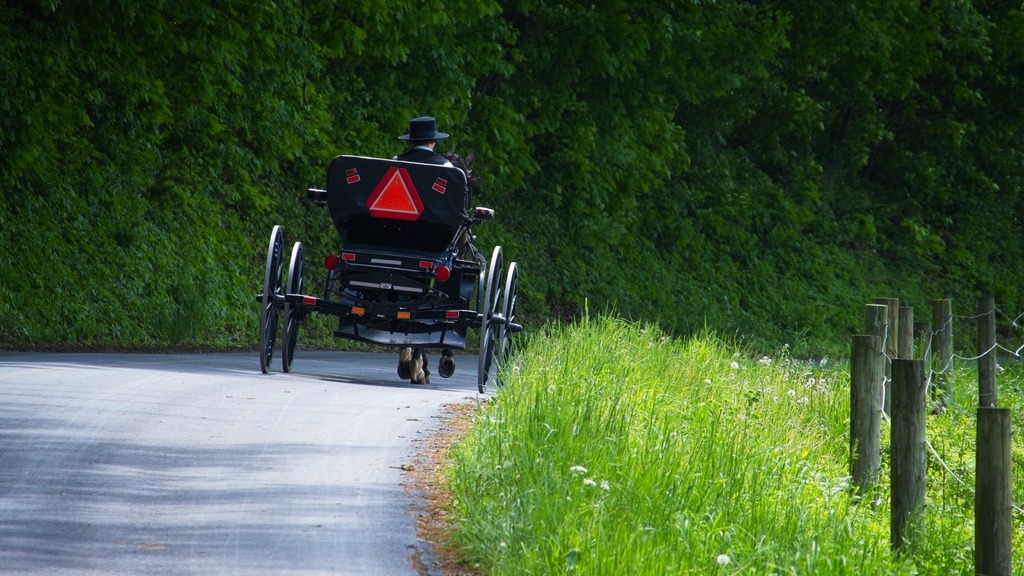
The area around the Octoraro Reservoir and watershed in southern Lancaster and Chester Counties is particularly scenic. The buggies were out in force one Saturday in May.
I don’t have much to say about these photos, and I will let them speak for themeselves.
The town of Bedford contains some interesting sights for the traveler. The Bedford Village Archeological Site is an archaeological site was once occupied by a Monongahela culture village. Today, the site is the location of Old Bedford Village, an open-air museum, containing a variety of historic structures transported to the site from the surrounding towns of Bedford, Everett, and Rainsburg.
Some of the structures at Old Bedford Village.It was a nice surprise to see this lovely horse and pony.
Adjacent to Old Bedford Village is the Claycomb Covered Bridge. It was was built in 1880 in Reynoldsdale and was moved to its present location in 1975. It is a burr truss design, 126 feet long, which has been reinforced with steel to support bus traffic that frequents Old Bedford Village. The structure is unpainted and the roof is constructed of Cedar shakes. The deck consists of crossboard planks and the sides are totally enclosed. It sits on poured concrete abutments.
Near the entrance to Old Bedford Village, I couldn’t resist a stop at the Penguin, which has a large menu of hard and soft ice cream and other treats.
Finally, one of Bedford’s iconic sites is the Coffee Pot.
Just west of Altoona, the Horseshoe Curve is a three-track railroad curve on Norfolk Southern Railway’s Pittsburgh Line in Blair County, Pennsylvania. The curve is roughly 2,375 feet (700 m) long and 1,300 feet (400 m) in diameter. Completed in 1854 by the Pennsylvania Railroad as a way to reduce the westbound grade to the summit of the Allegheny Mountains, it replaced the time-consuming Allegheny Portage Railroad, which was the only other route across the mountains for large vehicles. The curve was later owned and used by three Pennsylvania Railroad successors: Penn Central, Conrail, and Norfolk Southern.
Horseshoe Curve has long been a tourist attraction. A trackside observation park was completed in 1879. The park was renovated and a visitor center built in the early 1990s. The Railroaders Memorial Museum in Altoona manages the center, which has exhibits pertaining to the curve. The Horseshoe Curve was added to the National Register of Historic Places and designated as a National Historic Landmark in 1966. It became a National Historic Civil Engineering Landmark in 2004.
When I visited the curve, I was lucky to have a train passing. The building at the top of the funicular can be seen in front of the train.The Visitor Center complex.
Heading north from the Altoona area, Prince Gallitzin State Park sits in the forested hills of the Allegheny Plateau surrounding sprawling Glendale Lake. Vistas offer scenic views of the 1,635-acre lake with its 26 miles of shoreline, which is a favorite of anglers and boaters. Campers flock to the large campground and also enjoy hiking and other outdoor activities. The varied habitats of the park make it a home for many types of wildlife, and a rest stop in the spring and fall migrations. One of the more developed parks, it boasts a marina along with its other facilities. A state game lands is adjacent. Here I saw two clueless ring necked pheasants just standing there and enjoying the view of the traffic on Beaver Valley Road.
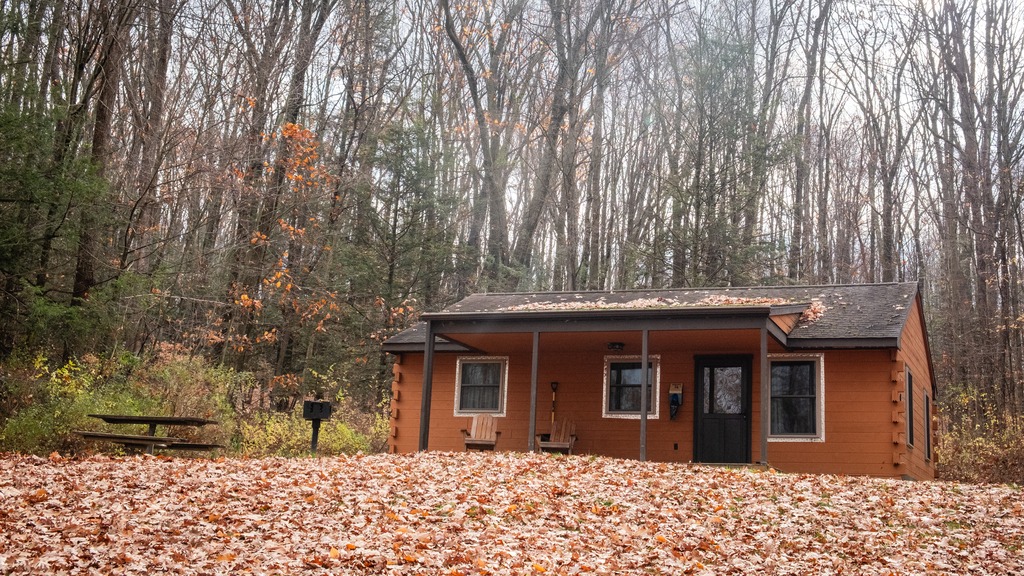
Some of the camping cottages.
The 2,981-acre Yellow Creek State Park is in Indiana County along one of the first “highways” in the state, the Kittanning Path. This trail was used by the Delaware and Shawnee nations and by early settlers. Today, visitors enjoy the sand beach, picnicking, and educational and recreational programs. The 720-acre Yellow Creek Lake is a destination for boaters and anglers. The lake and park are an important rest stop for migrating birds. The park is named for Yellow and Little Yellow creeks, which flow into the lake. Both creeks contain yellow clay in their banks and bottoms.
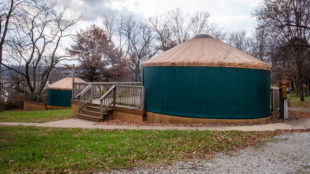
A great group of horses chilling after a ride.One of the state park yurts.
A trip to Middle Creek in late summer led to some unexpected viewing. I went in search of a Hudsonian Godwit, but found something else entirely. First up was this group of horses, hitched to a fence with no riders in sight:
I then spied this wedding party (perhaps Mennonite?) near the visitors center.
An finally, that Hudsonian Godwit and some Canada Geese with an interloper Great Egret.
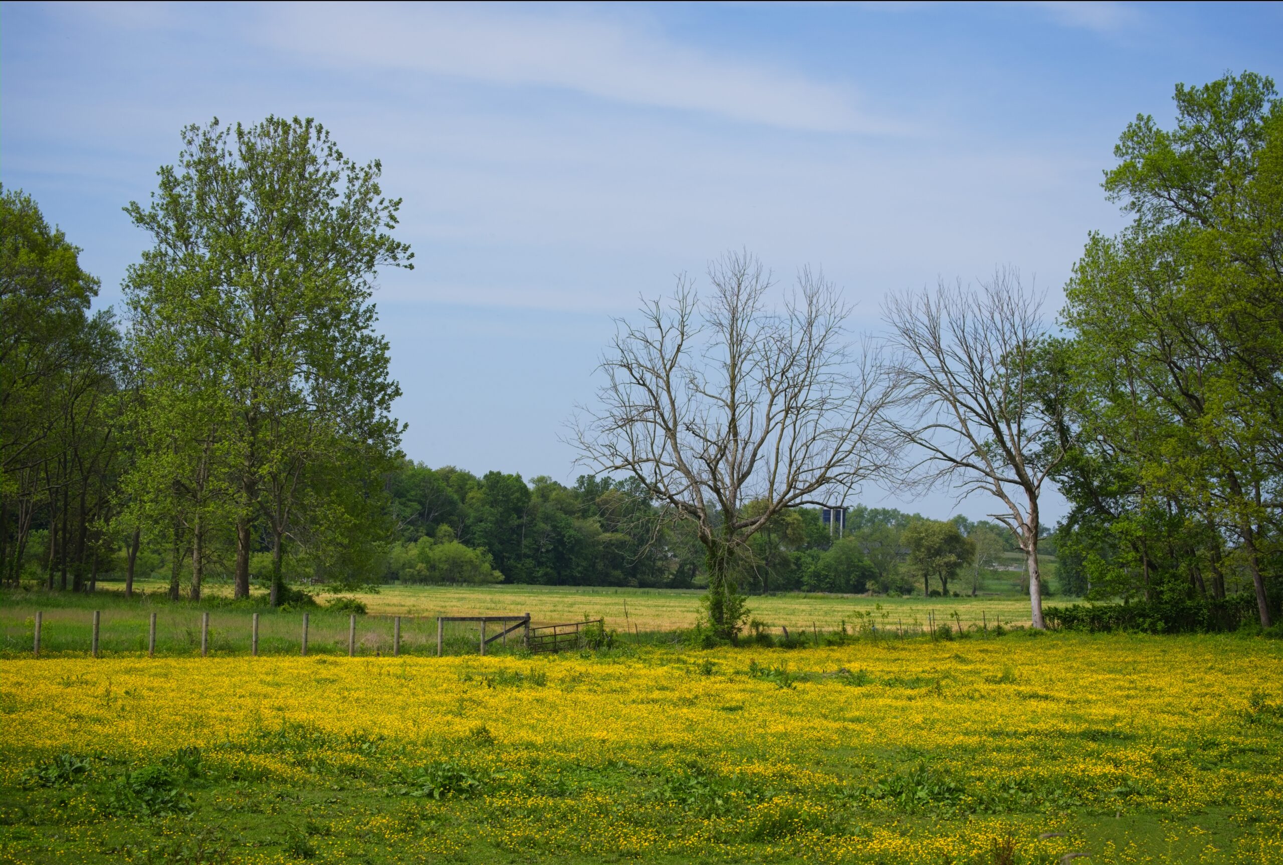
Before we head to western Pennsylvania, let’s take a look at some shots from a nice Spring day in Lancaster County. It was a good day for photography, the sun was shining and the cows seemed happy.
A day out in the rural areas of Lancaster County will provide many encounters with horse drawn buggies, whether in motion or stationery. Sundays tend to be particularly busy, with people going to church or visiting neighbors.
A small child looks on …Traffic Gap with a miniature of the Clock Tower (full size below).People who drive buggies need to shop too. Stores in the area often have hitches, or even simple open sheds, for horse parking.
Today’s visit to Lancaster County includes some covered bridged and nearby views. First up is Weaver’s Mill Covered Bridge, which spans the Conestoga River. The 85-foot-long (26 m), 15-foot-wide (4.6 m) bridge was built in 1878 by B. C. Carter and J. F. Stauffer. It is also known as Isaac Shearer’s Mill Bridge. The bridge has a single span, wooden, double Burr arch trusses design with the addition of steel hanger rods. It is painted red, the traditional color of Lancaster County covered bridges, on both the inside and outside. Both approaches to the bridge are painted in the traditional white color. It was listed on the National Register of Historic Places in 1980.
Weaver’s Mill Covered Bridge
The Bitzer’s Mill Covered Bridge is a covered bridge that is also on the Conestoga River. It is the oldest bridge in the county still in use. A county-owned and maintained bridge, it is also called Martin’s Mill Bridge, Eberly’s Cider Mill Covered Bridge, and Fiand’s/Fiantz’s Covered Bridge.
The bridge has a single span, wooden, double Burr arch trusses design with the addition of steel hanger rods. The deck is made from oak planks. Added later, secondary steel I-beams support the bridge from underneath. The bridge is currently unpainted. It was formerly painted red on the outside, and the inside of the bridge was not painted. Both approaches to the bridge were painted white. In July 2006, the bridge sustained some damage to its sides including some missing or broken panels. The bridge was added to the National Register of Historic Places in 1980.
The bridge was built in 1846 by George Fink and Sam Reamsnyder at a cost of $1,115. They used a single span, wooden, double Burr arch truss construction. The bridge has historically been referred to by a number of names that reflected the various mill owners. In 1962, it was proposed to replace the bridge with a concrete span, but the plan was discontinued after much public outcry.
The Conestoga RiverAn impressive corn crib.
The Keller’s Mill Covered Bridge is a covered bridge that spans Cocalico Creek. It is also sometimes known as Guy Bard Covered Bridge (after a local jurist) and Rettew’s Covered Bridge (after the person that Rettew’s Road is named). Due to heavy road traffic on the aging, one-lane bridge, construction on a new steel and concrete bridge to bypass the covered bridge occurred in the summer of 2006. The bridge was disassembled and reassembled a few miles downstream to replace an existing one lane bridge. It was located at 40°10′11.4″N 76°12′16.8″W (40.16983, −76.20467) before being disassembled.
Keller’s Mill Covered Bridge was originally built by Elias McMellen in 1873 at a cost of US$2,075. After being swept away in flooding, the bridge was rebuilt in 1891, again by McMellen. It stayed there until it was disassembled and moved in 2006. The bridge was reconstructed in 2009. The bridge was reopened on Middle Creek Road in December, 2010. Keller’s Mill Covered Bridge has a single span, wooden, double Burr arch trusses design with the addition of steel hanger rods. The deck is made from oak planks. The bridge is the only all white bridge in the county, with no red. In fact, just about all covered bridges were whitewashed both inside and out. It is the only bridge to have survived the transition from whitewashing to the red color commonly used in barns throughout the county. The bridge is not painted on the inside.