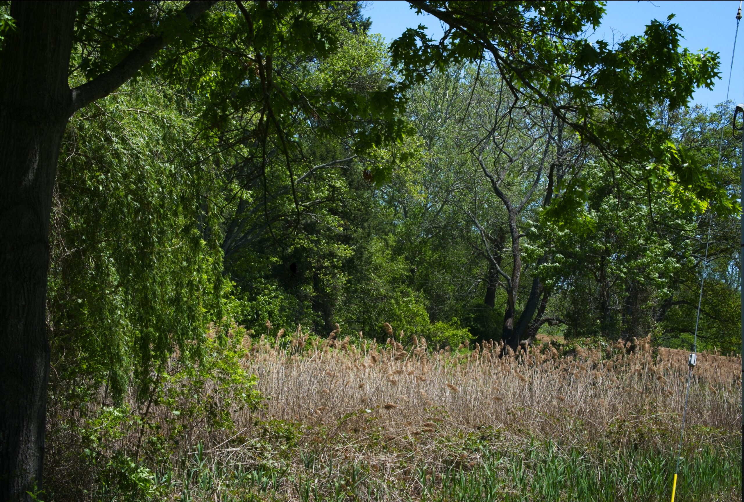
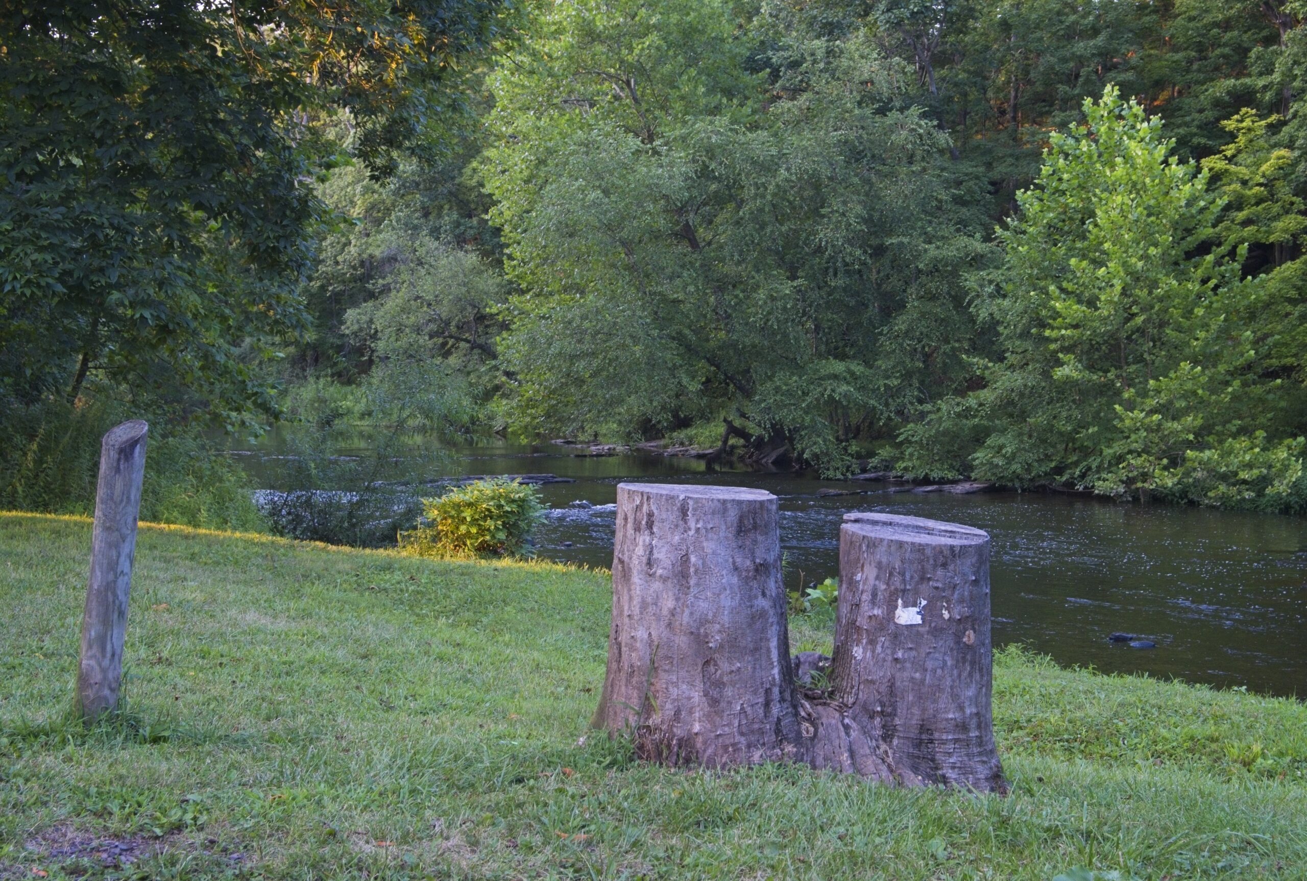
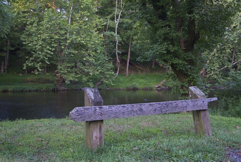
A trip into Bucks County led me to several covered bridges. Near the Cabin Run Covered Bridge is Tohickon Valley Park, a pleasnt spot with parking, picnic tables and fishing access to the Tohickon Creek. It is close to several other county parks. The 612-acre Tohickon park also has playgrounds,hiking, ball fields, and a swimming pool in season. Overnight stays include group and family camping and cabins on 22 campsites. It is deceptively large, which is why I missed a portion of it when I was there.
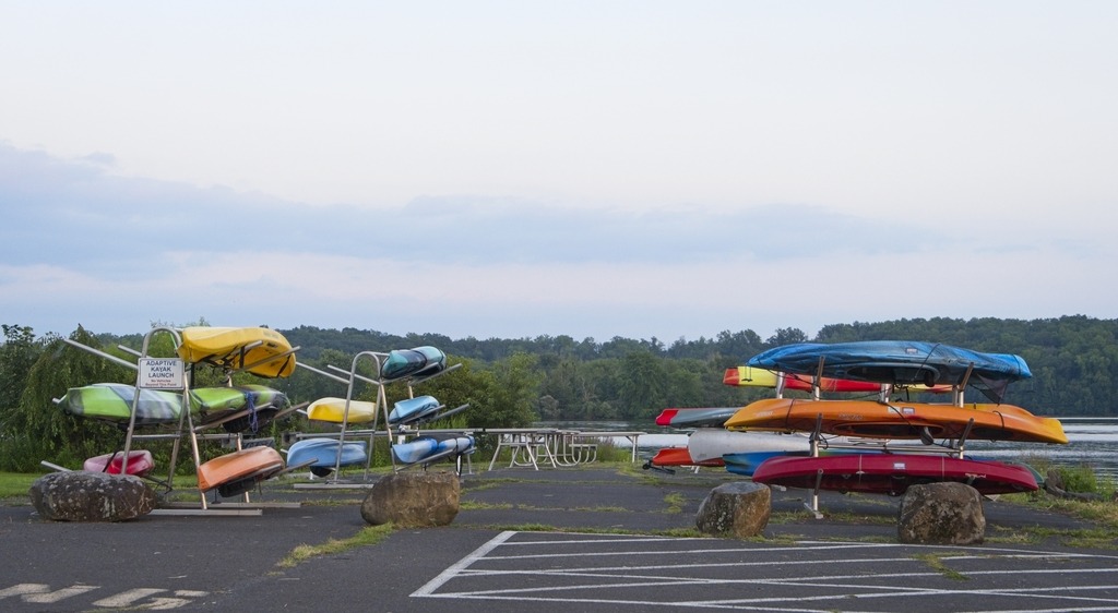
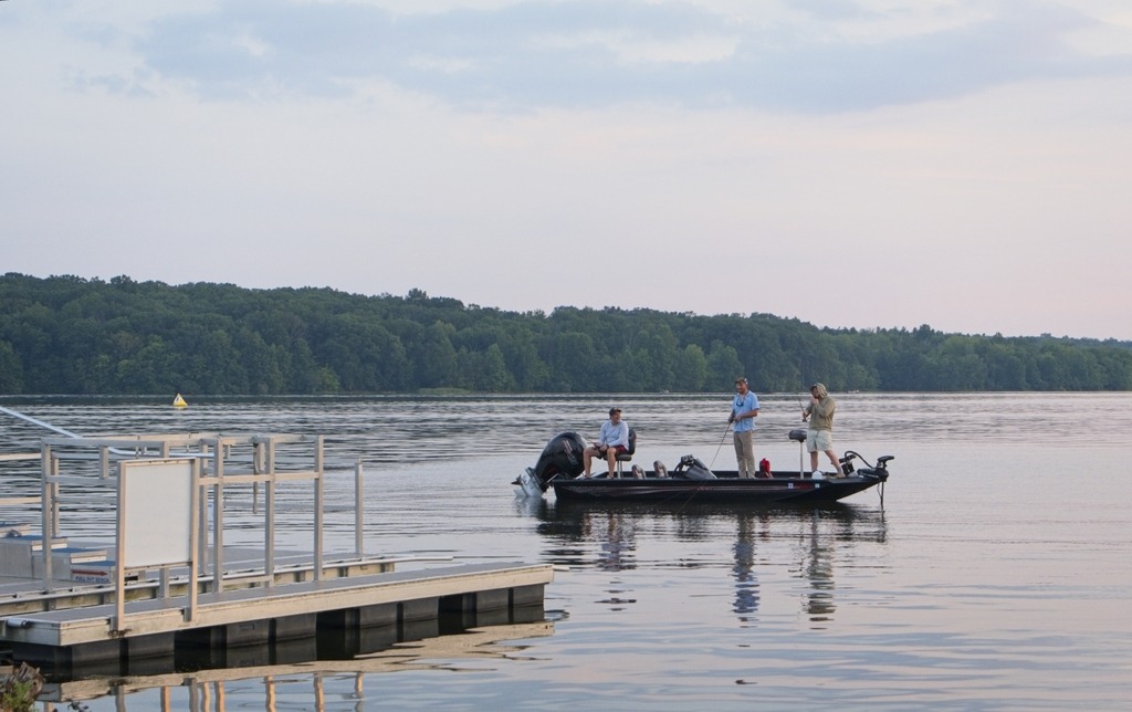
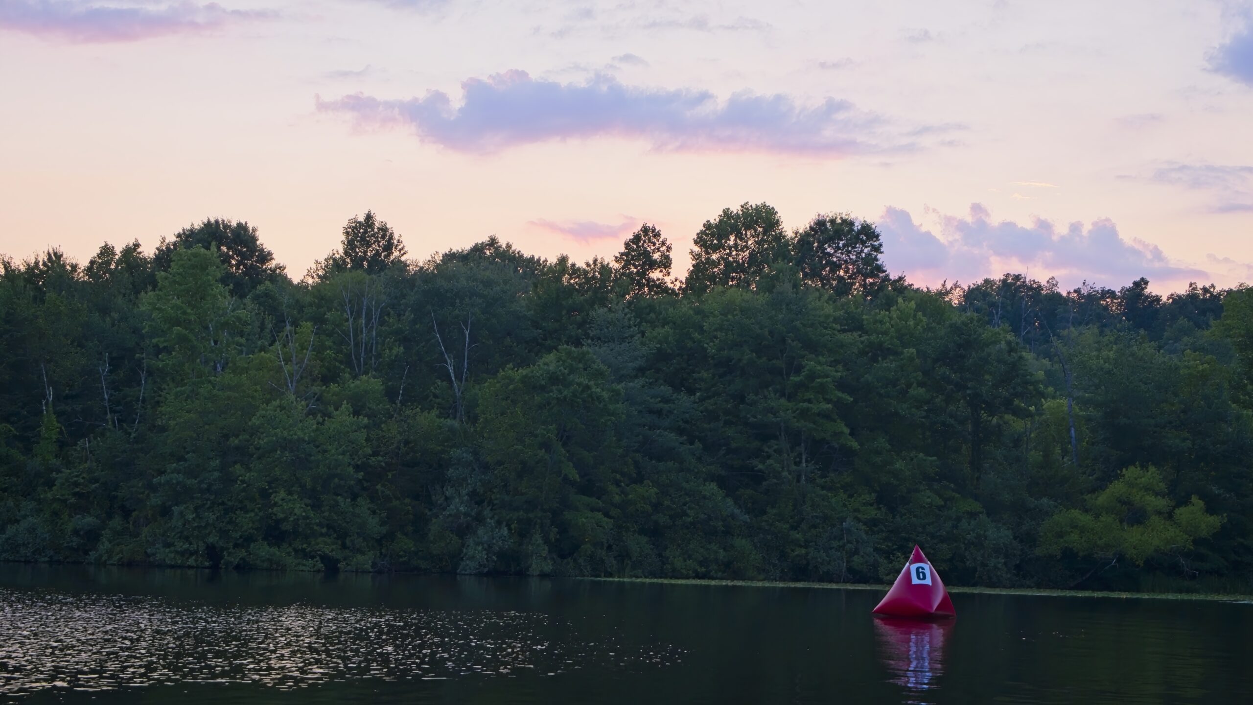
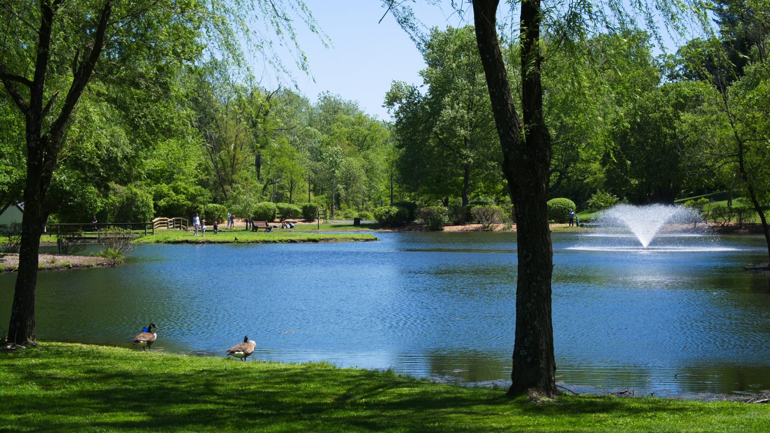
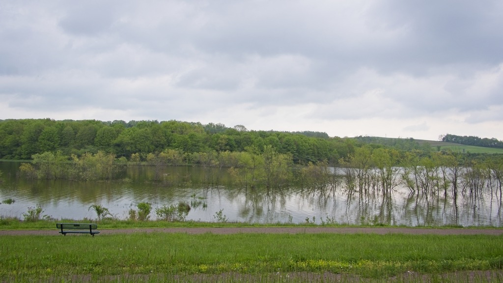
Nockamixon State Park has been featured on this blog before.so I will not go into detail here. It is a large park in Bucks County with a lake, full service marina, hiking, picnicking, hunting and fishing. It is actually a decent location for astronomy close to the city of Philadelphia. The Tohickon boat launch area is used for astronomy and provides fairly open horizons and a 20.10 mag/arssec^2 sky.