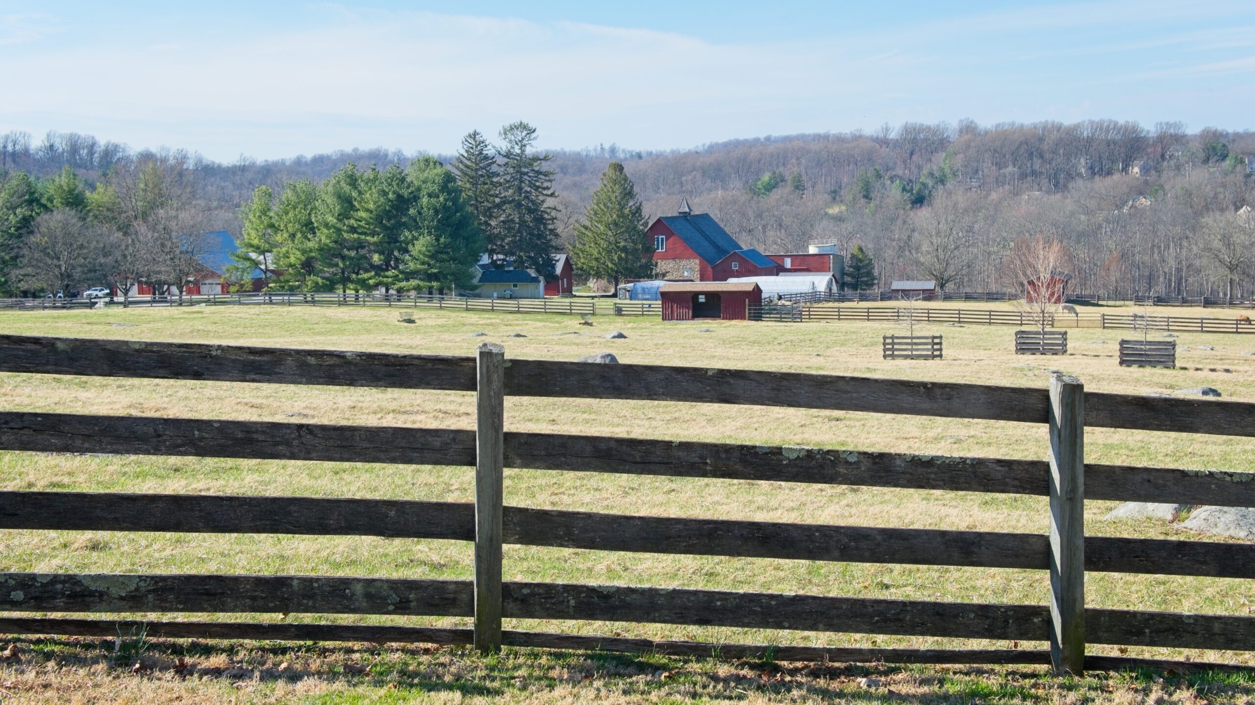
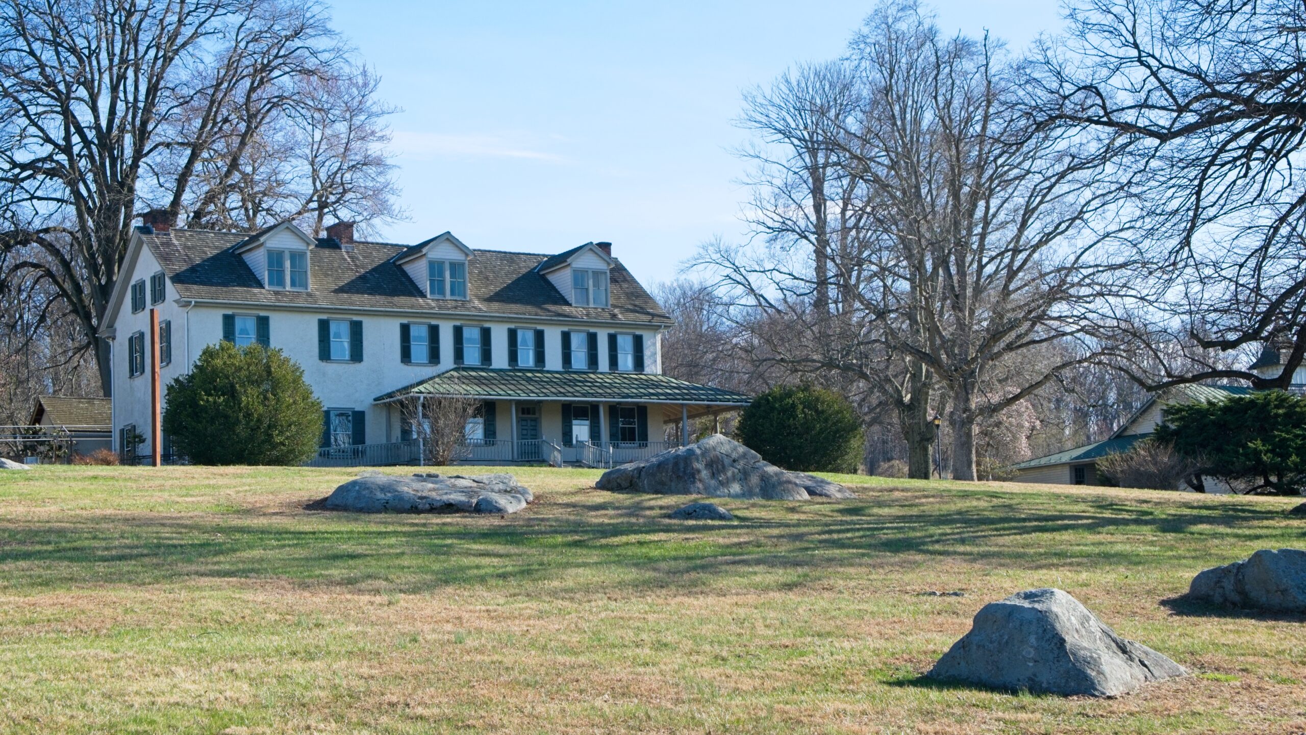
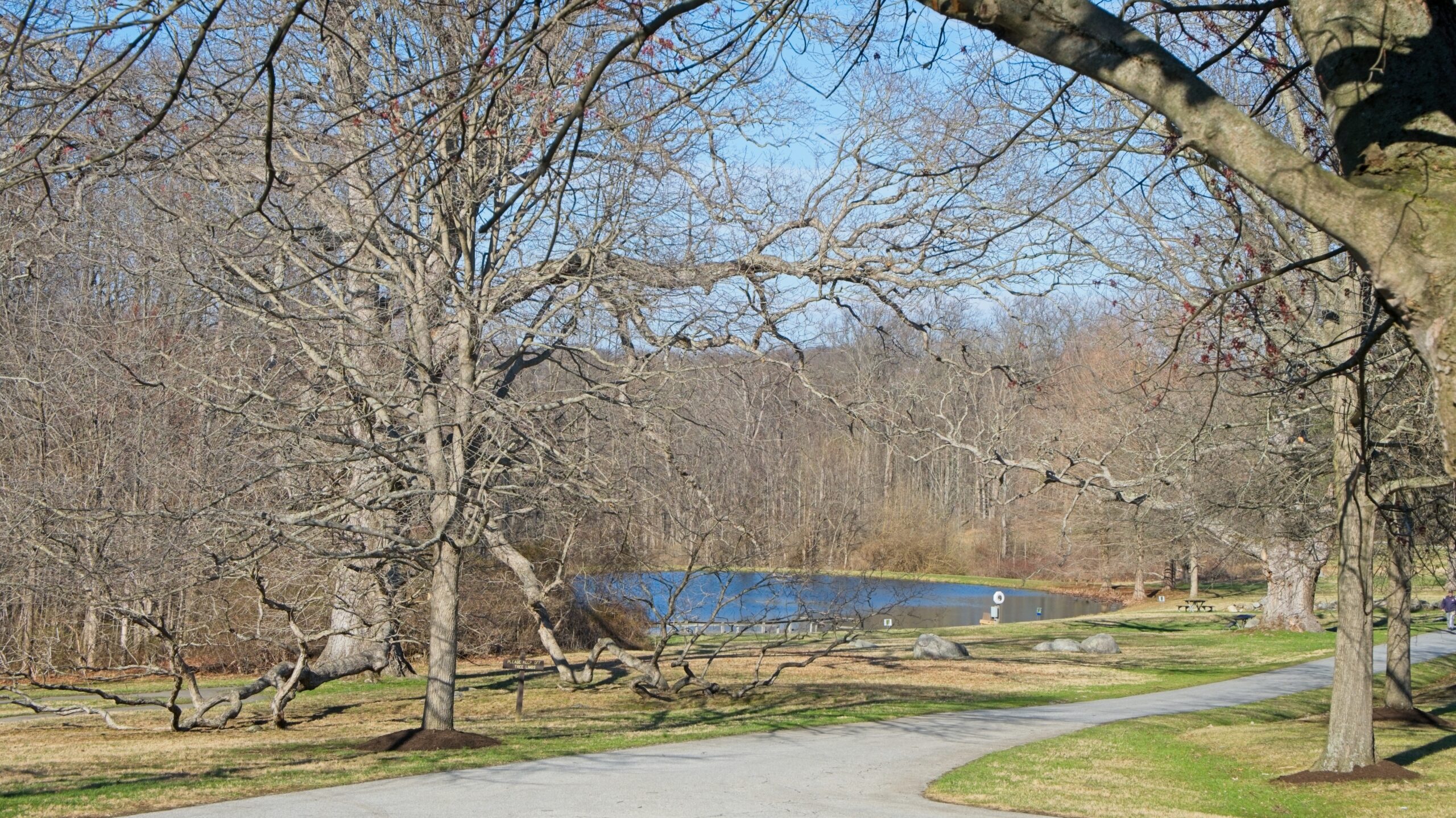
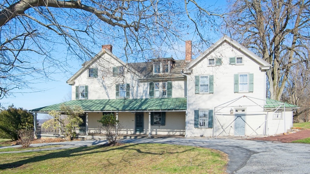
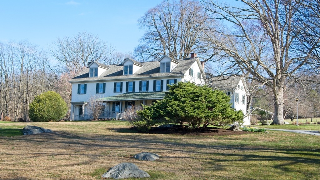
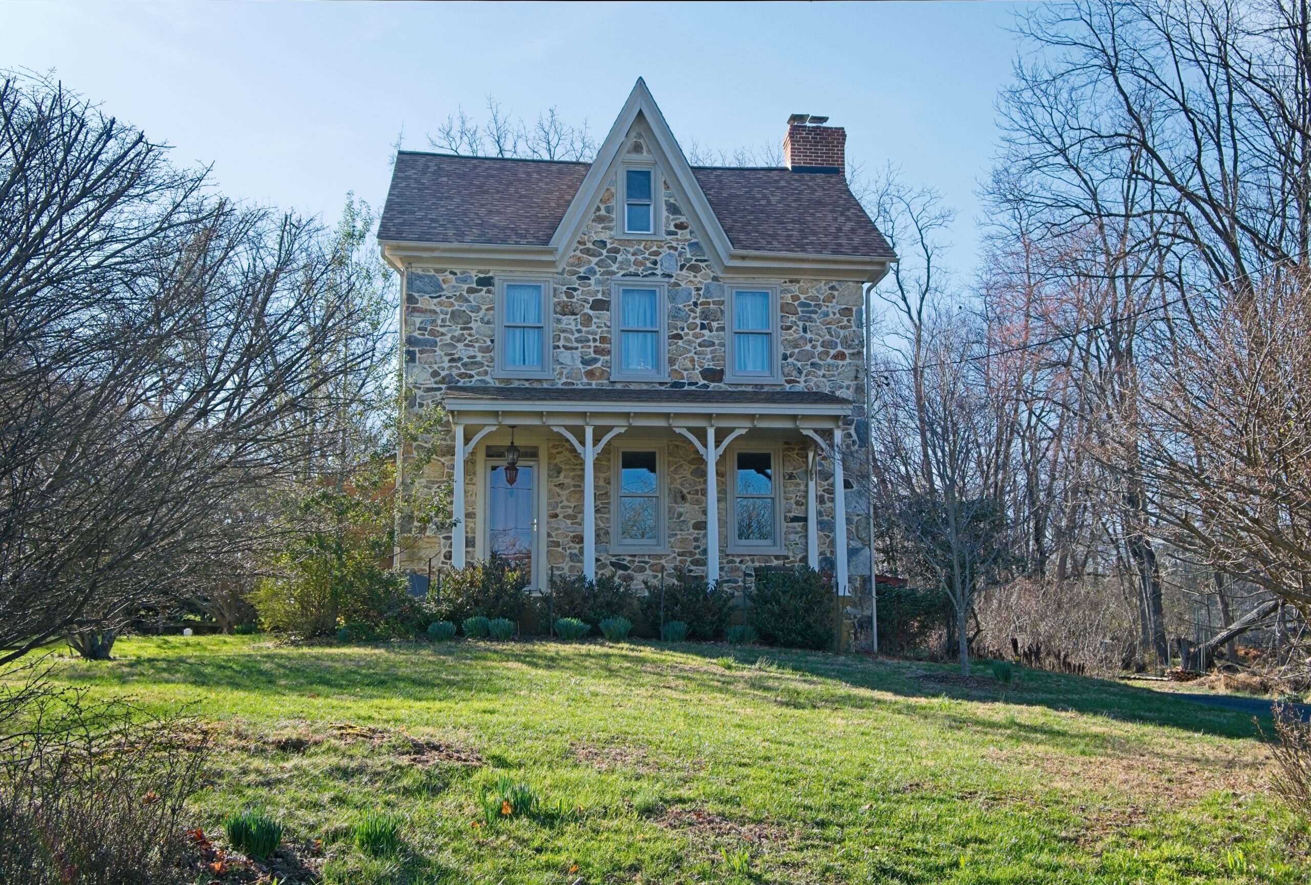
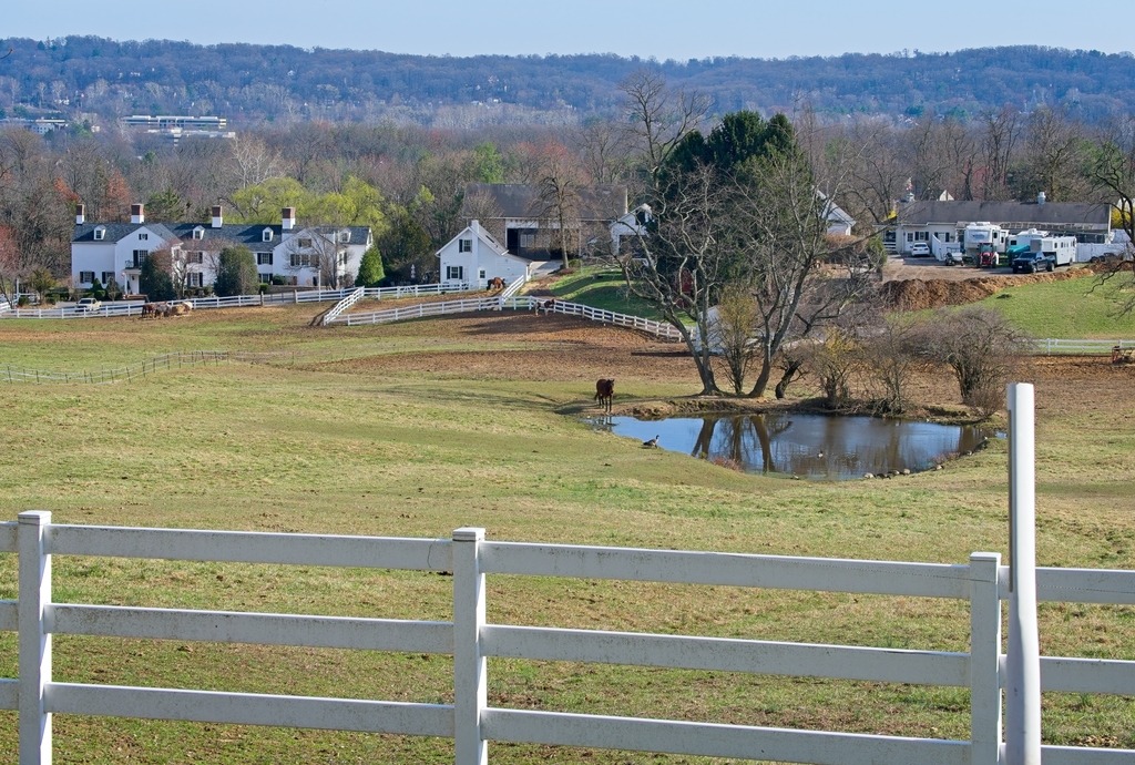
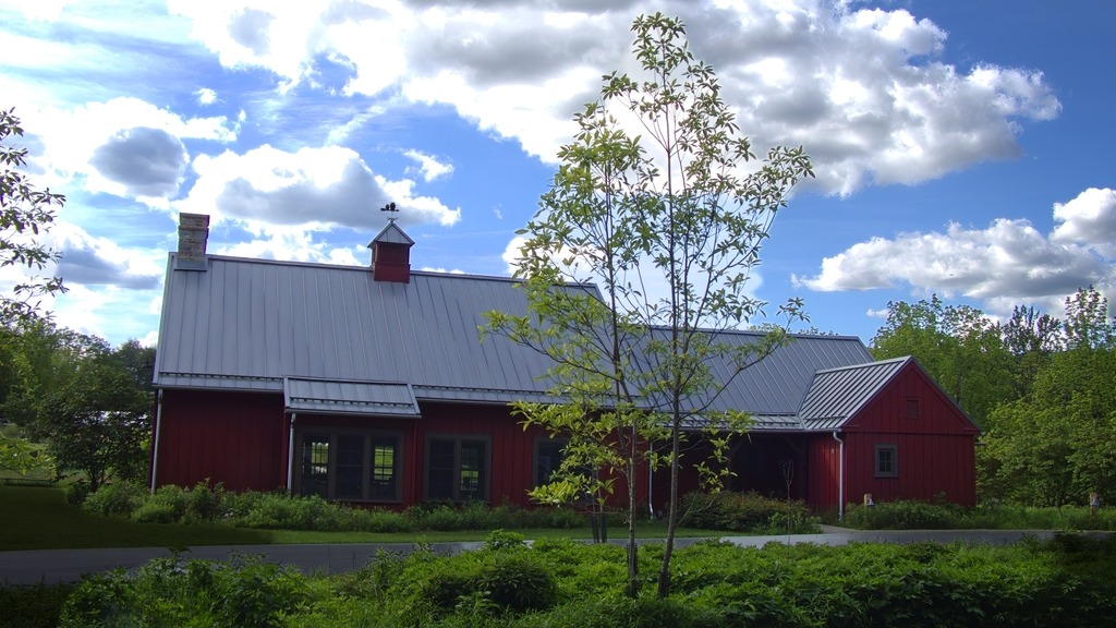
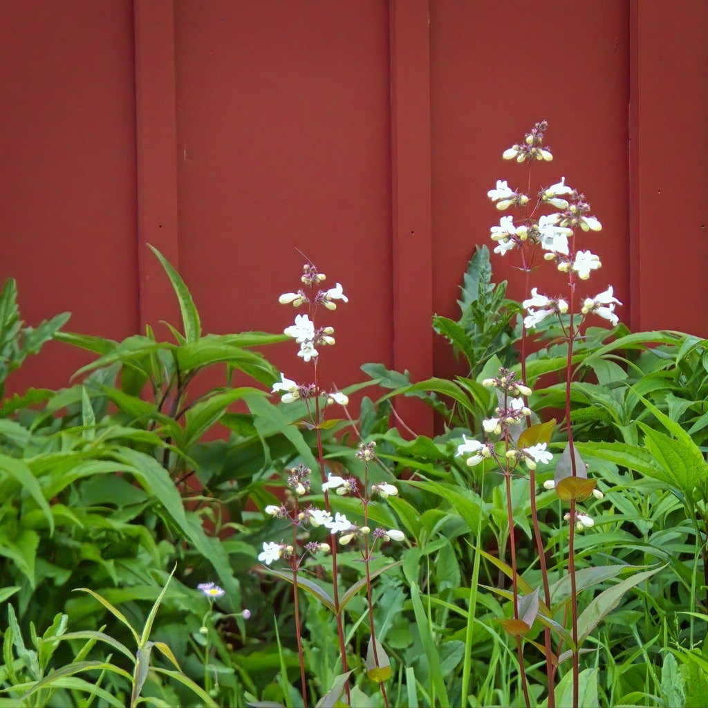
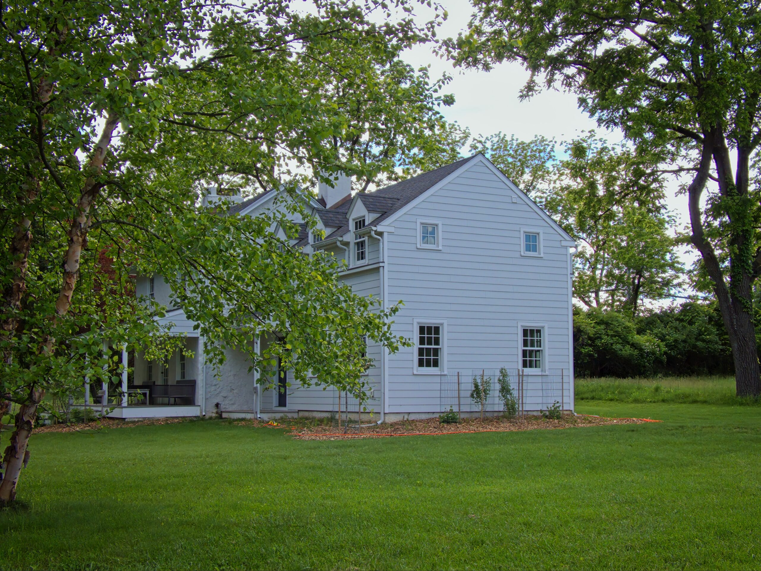
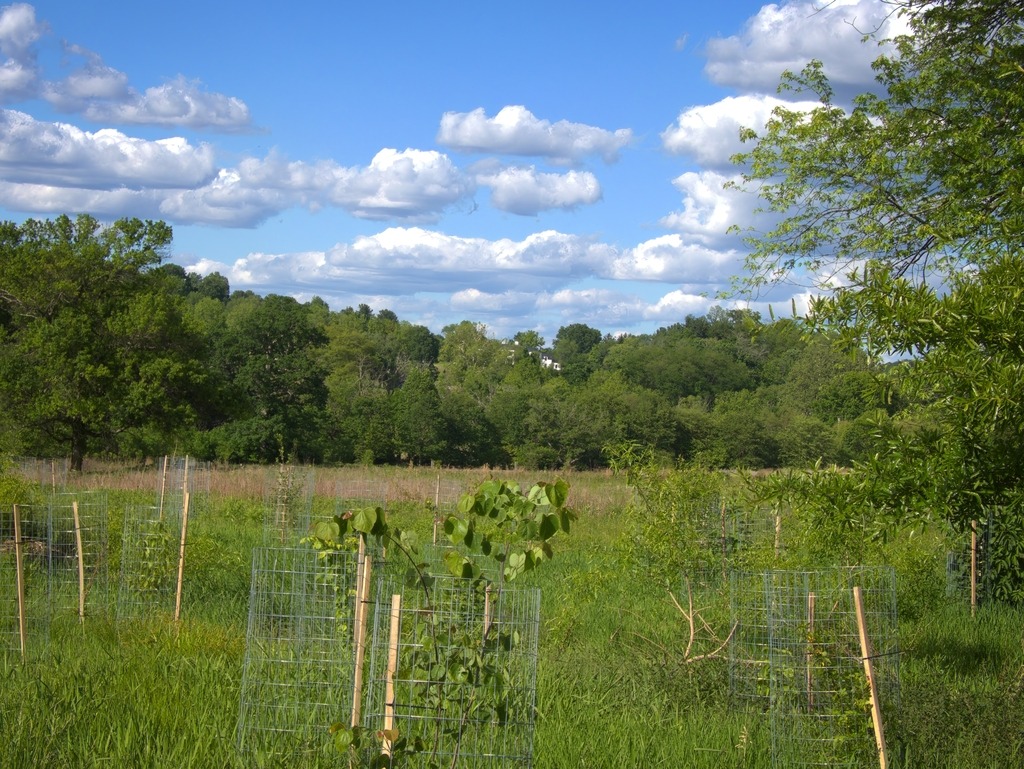
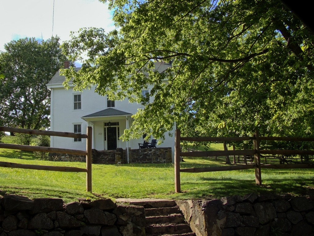
Springton Manor Farm is part of the Chester County park system. Within its historic landscape of fenced fields, stone walls and misty morning vistas is a preserved patchwork of colonial plantation, Industrial Revolution era scientific farm, Victorian tenant farm, and gentleman’s country estate. The Manor House and Carriage House overlook 300 acres of centuries-old sugar maples, open pastures and Penn Oaks, which surround the lower pond. The Manor House is not open to the general public.
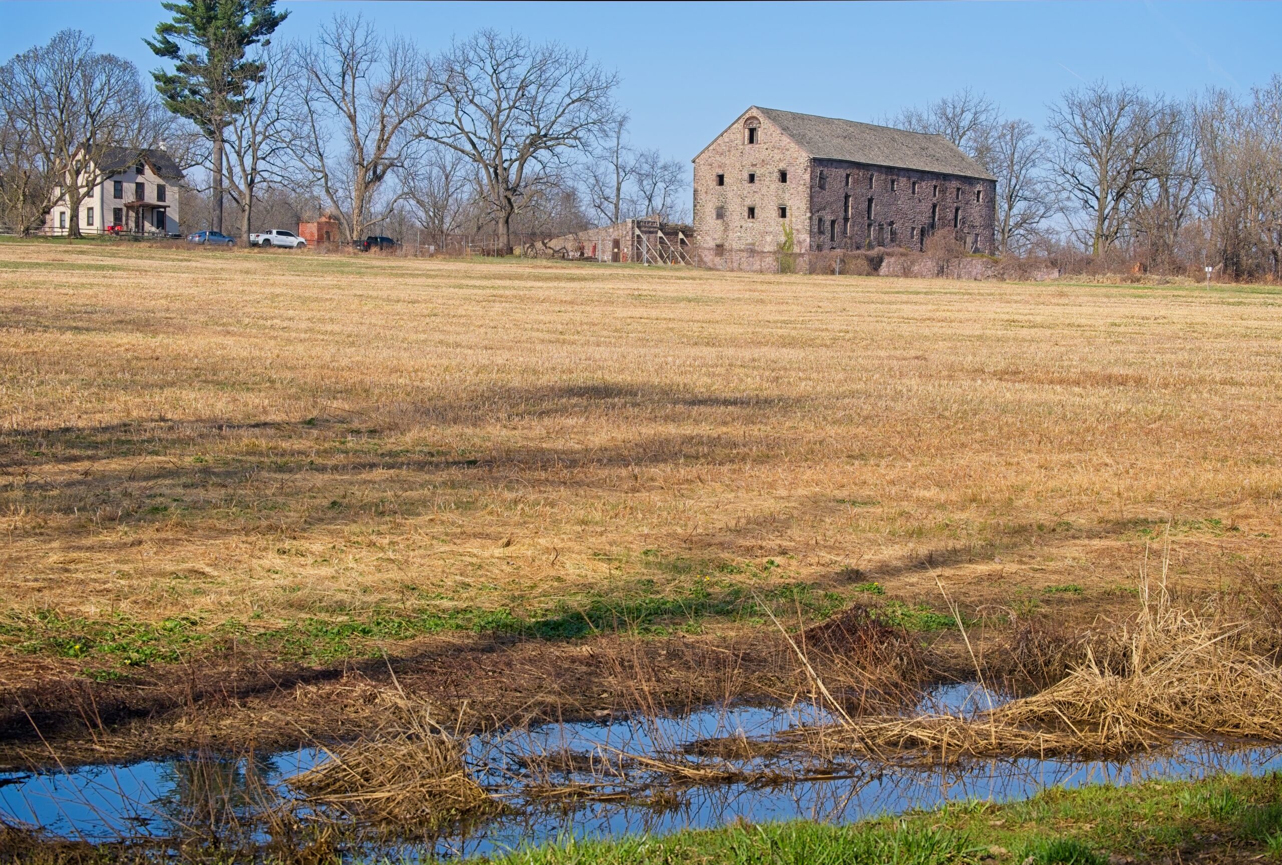
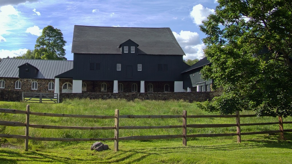
Initially part of a William Penn Manor, Springton Manor has been in agricultural use since the early 1700’s. On this demonstration farm, one can meet the animals and learn about Chester County’s farming history. The barn complex consists of the Great Barn, sheep shed, goat shed, a roost and equipment shed. You may see horses, donkeys, rabbits, calves, pigs, sheep, goats, chickens and peacocks. The Family Farm Museum, located within the Great Barn, contains seasonal tools and apparatus used on Chester County farms from the 1700’s to the 1900’s.
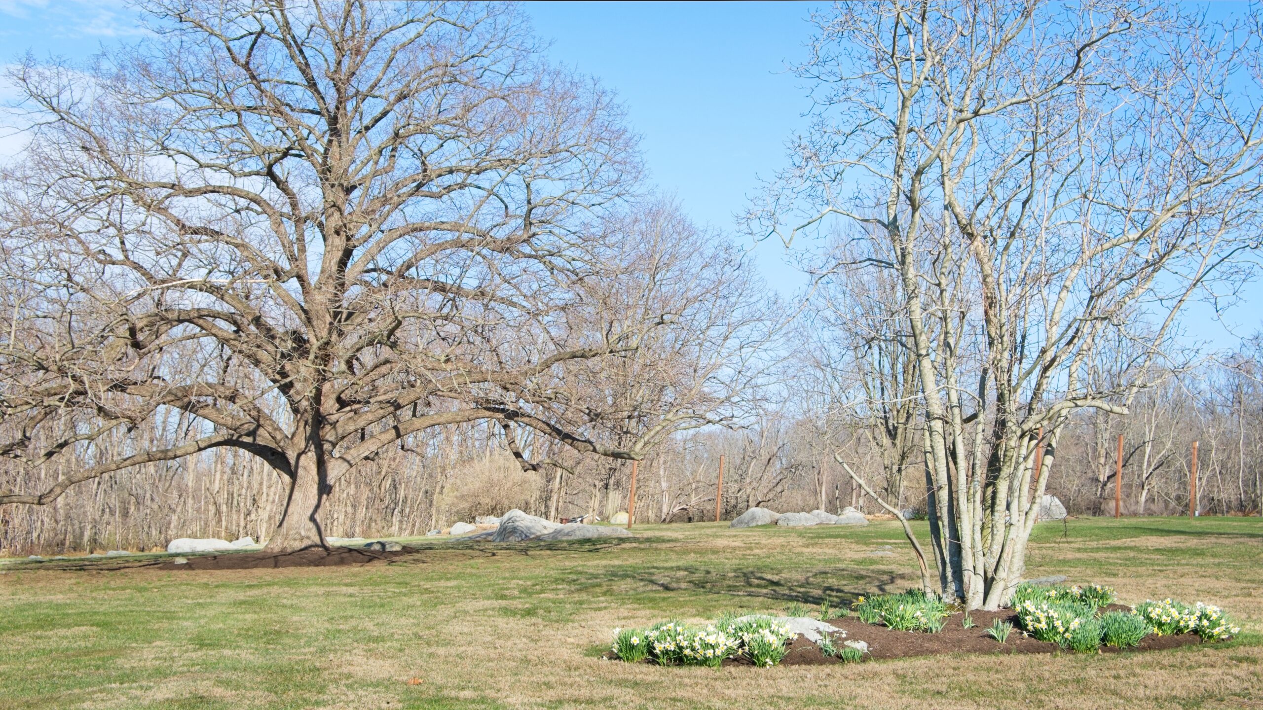
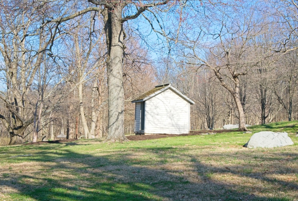
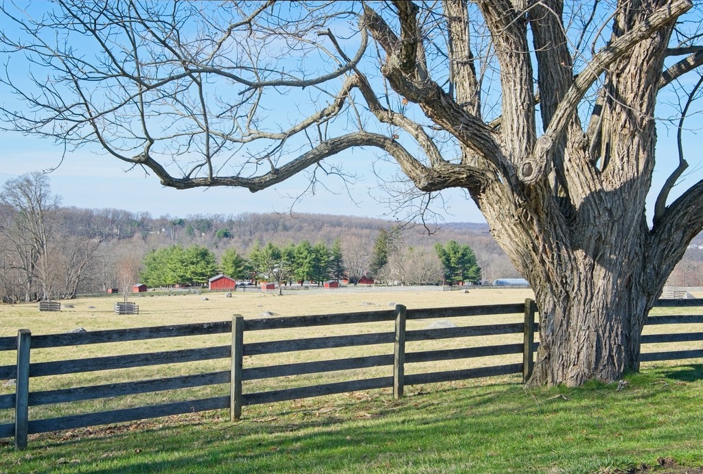
This visit focuses on the exterior of the property and the manor house. I visited this property previously. You can view that post here. That post has views of the farm buildings. I intend to return earlier in the day to try to photograph some of the animals. which now seem to include llamas or alpacas.