• The Sights of Cumberland County

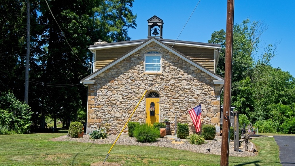
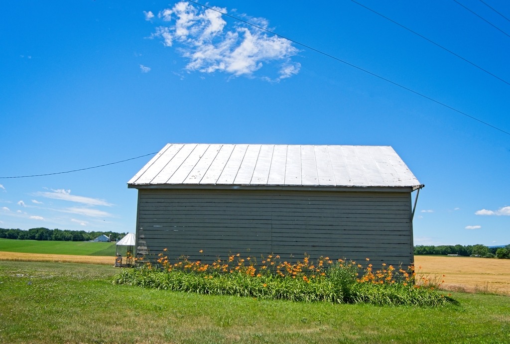
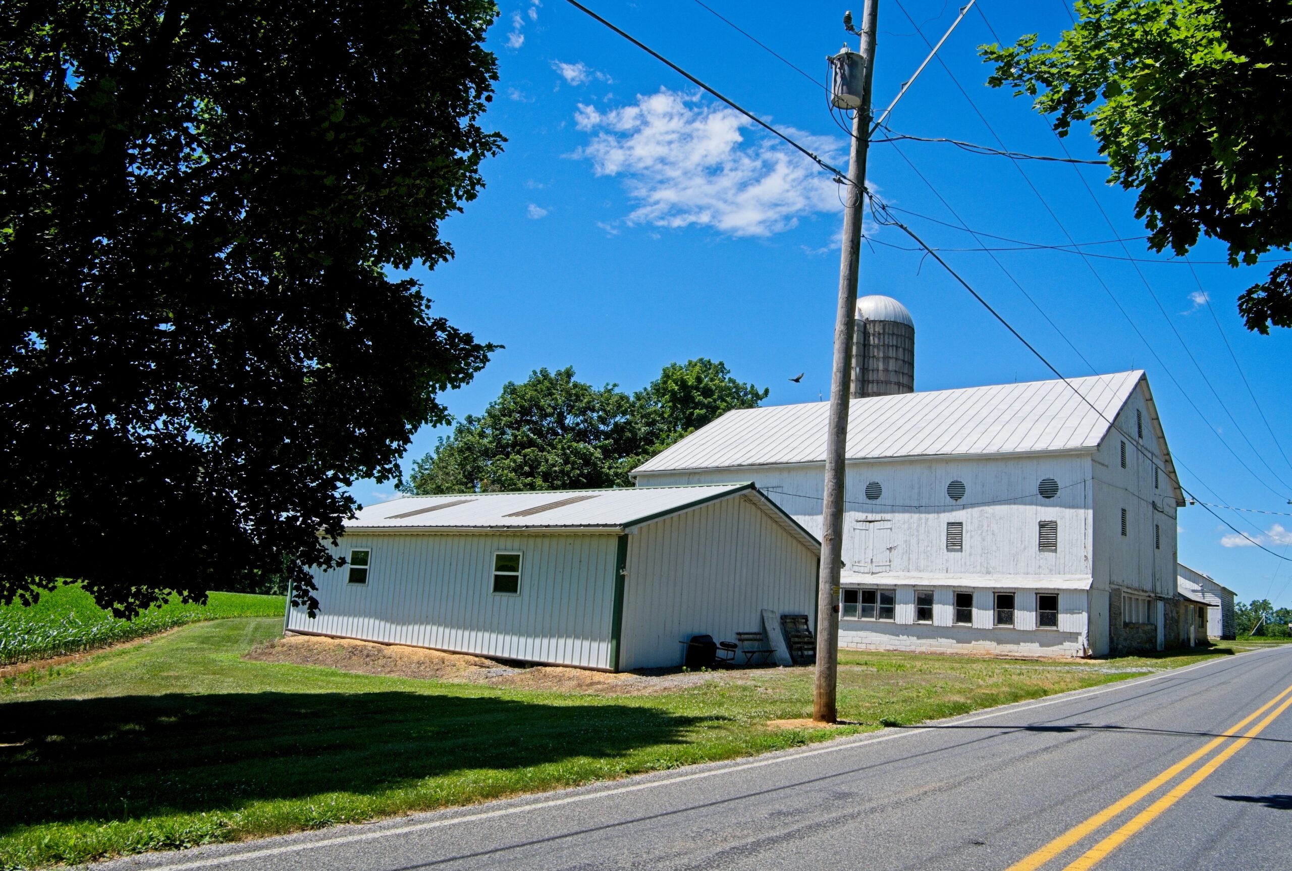
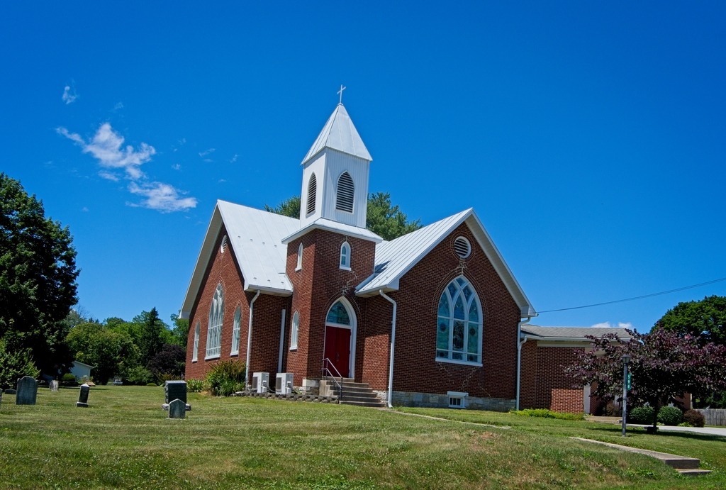
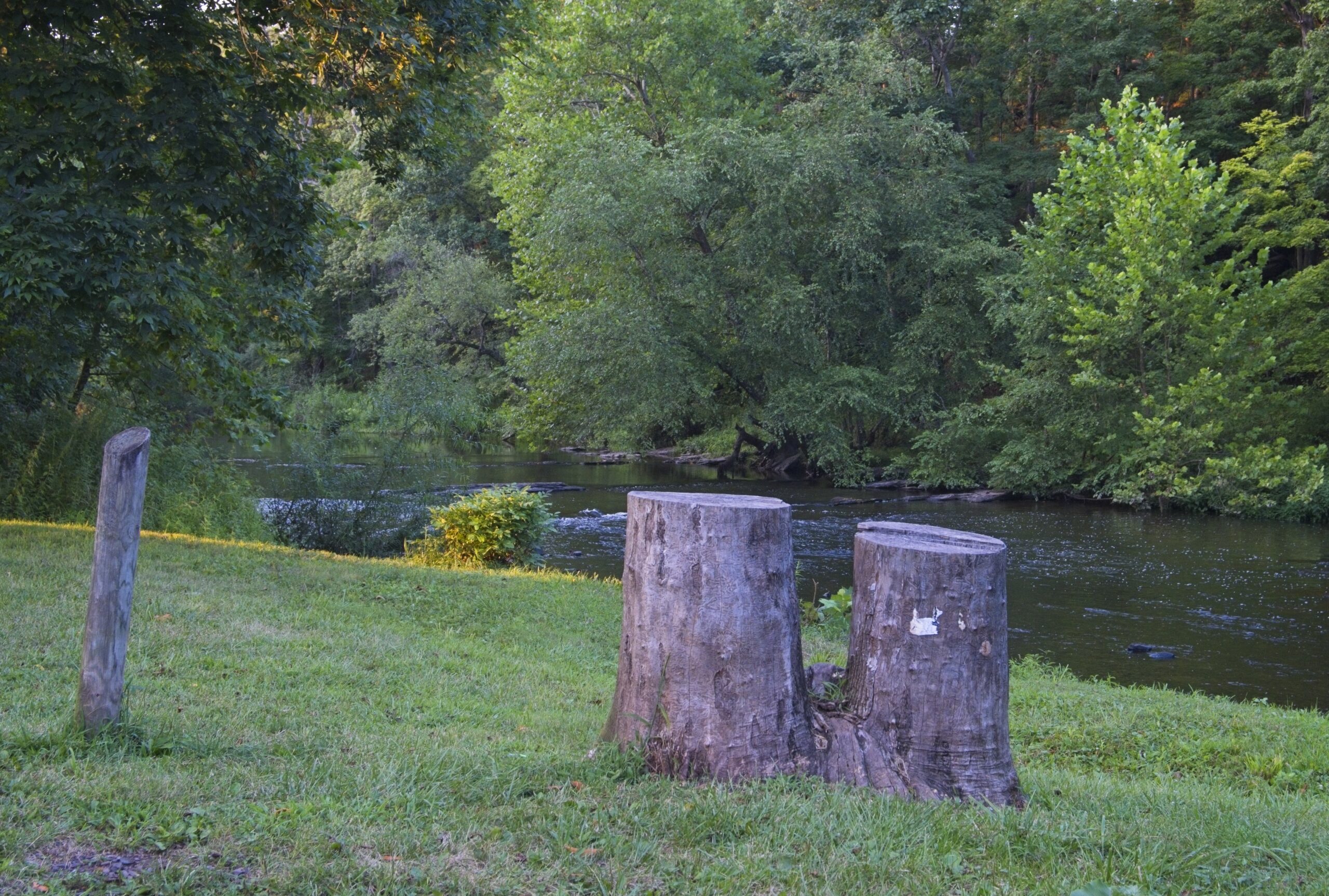
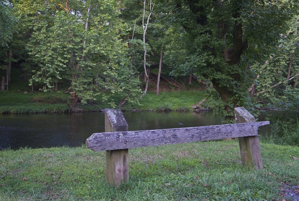
    Here are some views of Cumerland County. They are mostly in the northwestern part of the county.

    dickinson pa
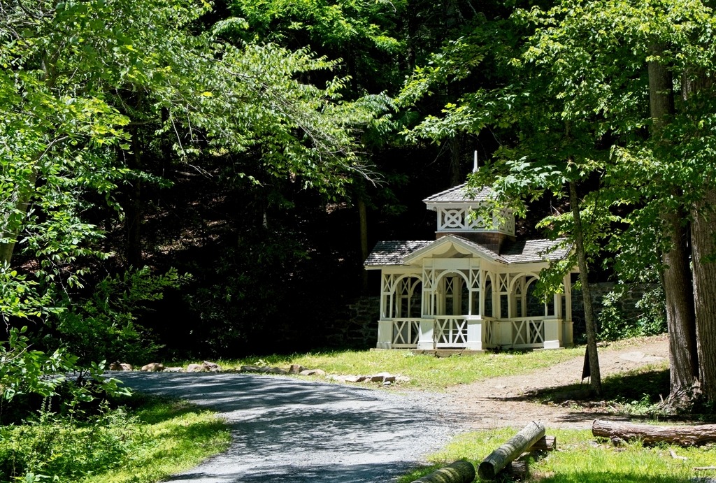
    Primitive Schoolhouse, Huntsdale
  • One of the Most Photographed Spots in Cumberland County

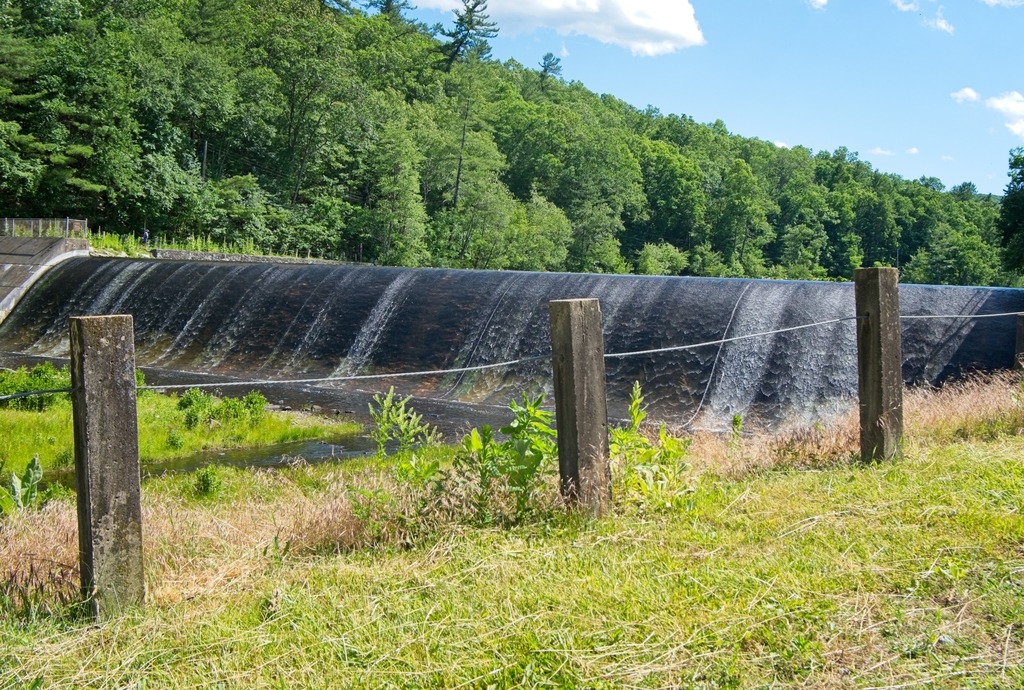
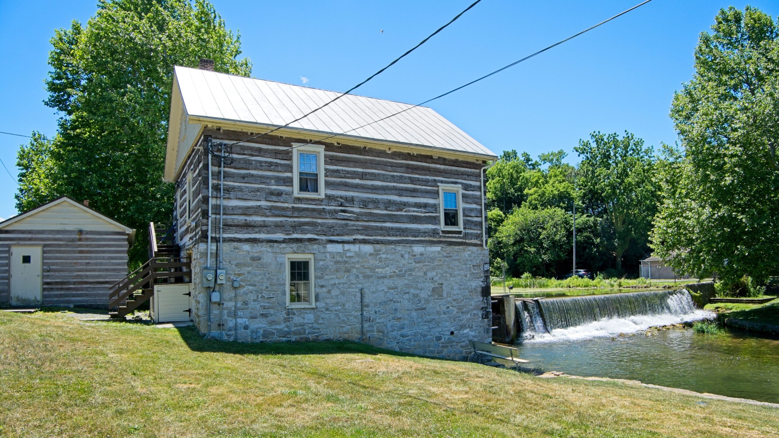
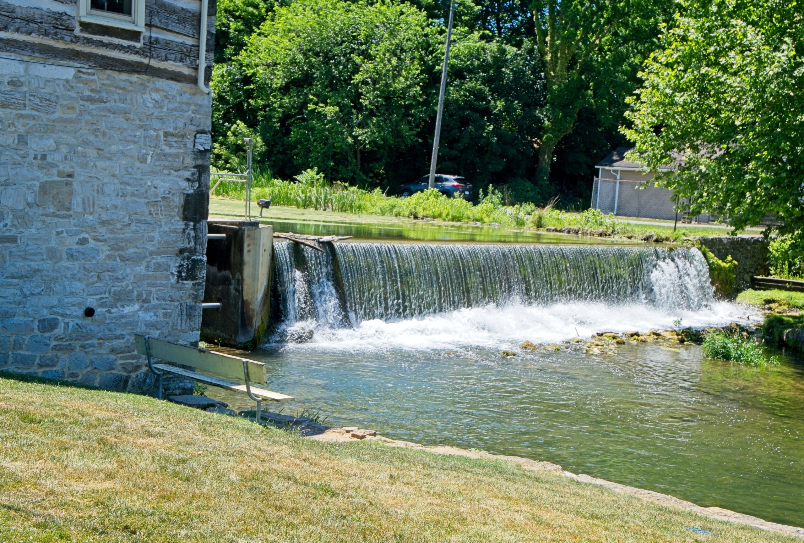
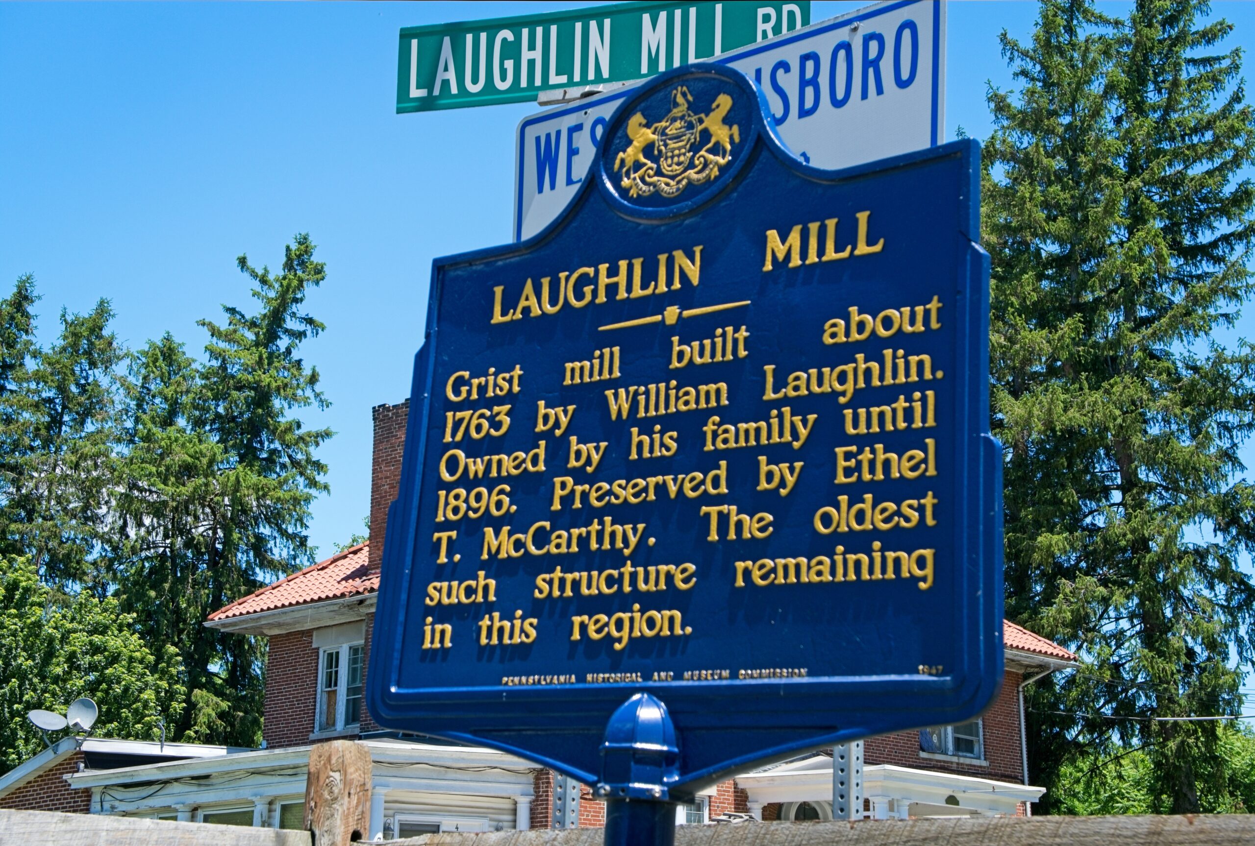
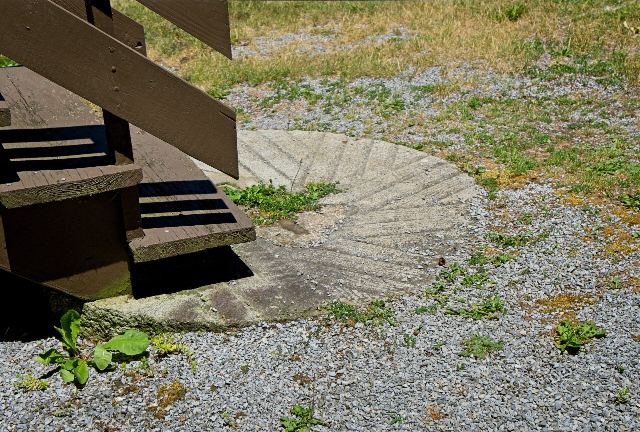
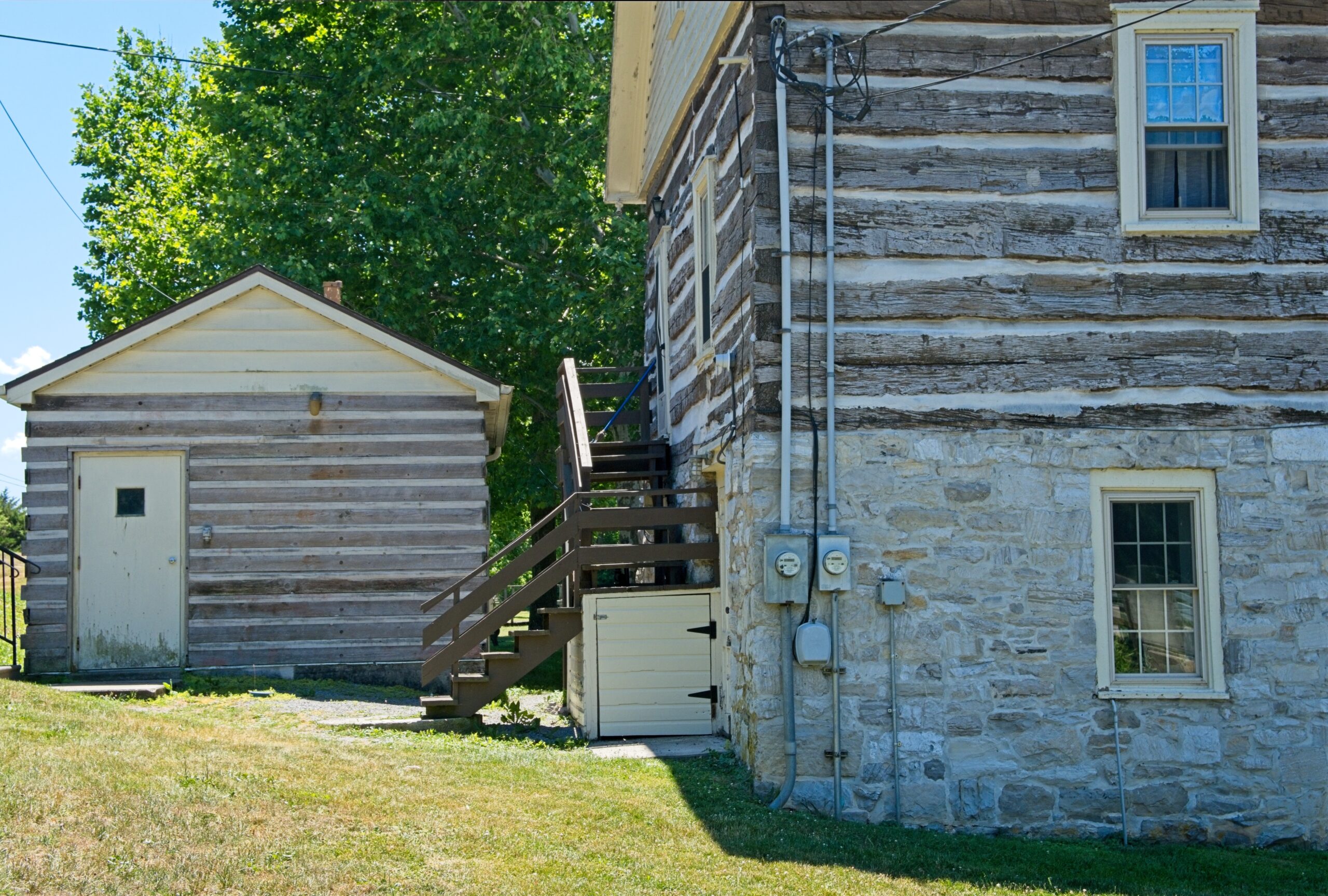
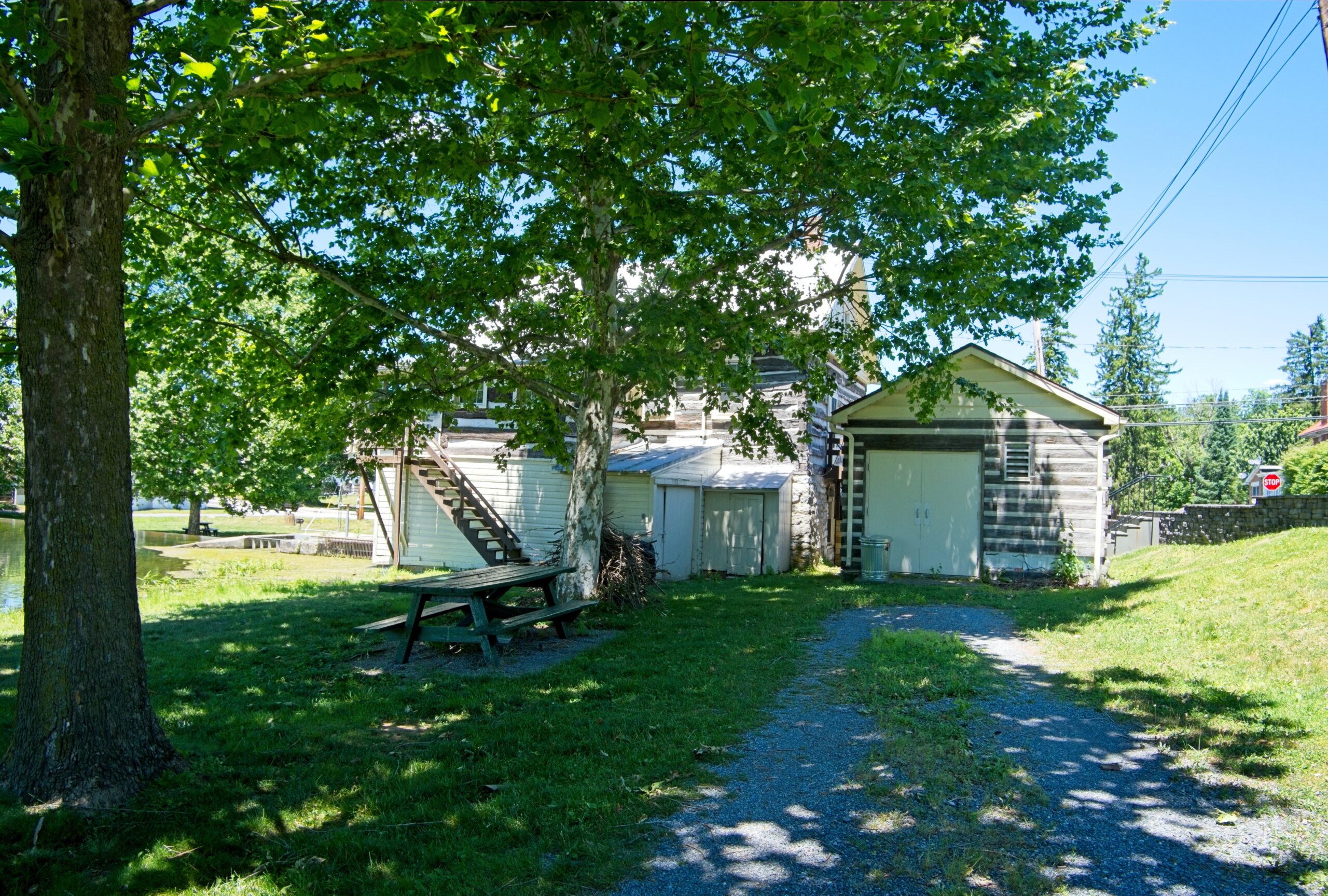
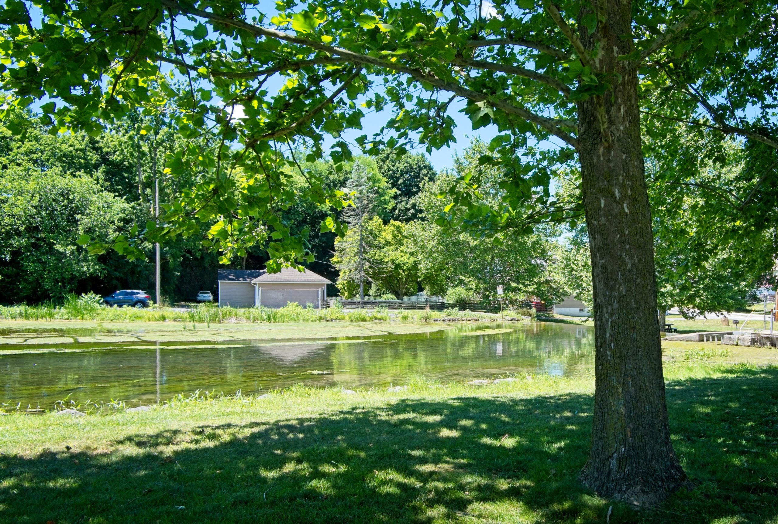
    Laughlin Mills lies in the town of Newville. The original three-story log structure was built by William Laughlin around 1763. The Laughlin family also built the dam which provided enough water power to turn the water wheel and grind wheat and other grain. The mill was owned by the Laughlin family until 1896, when it was sold to the Newville Water Company which installed turbine used to pump water through the main pipes of the town. The current structure is a restoration.

    This is the oldest mill structure remaining in this region and one of the most photographed sites in Cumberland Valley.

  • The Huntsdale Fish Hatchery

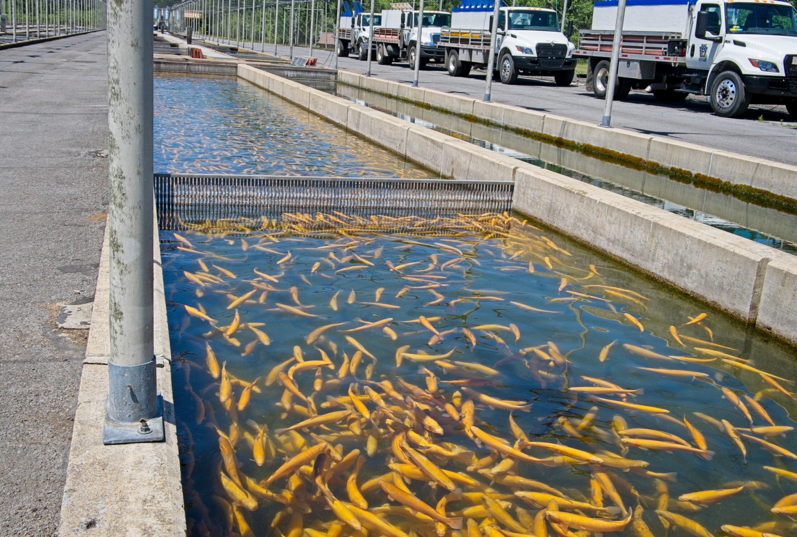
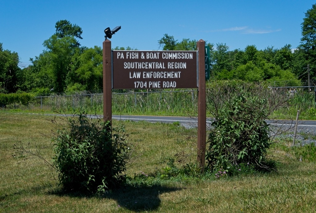
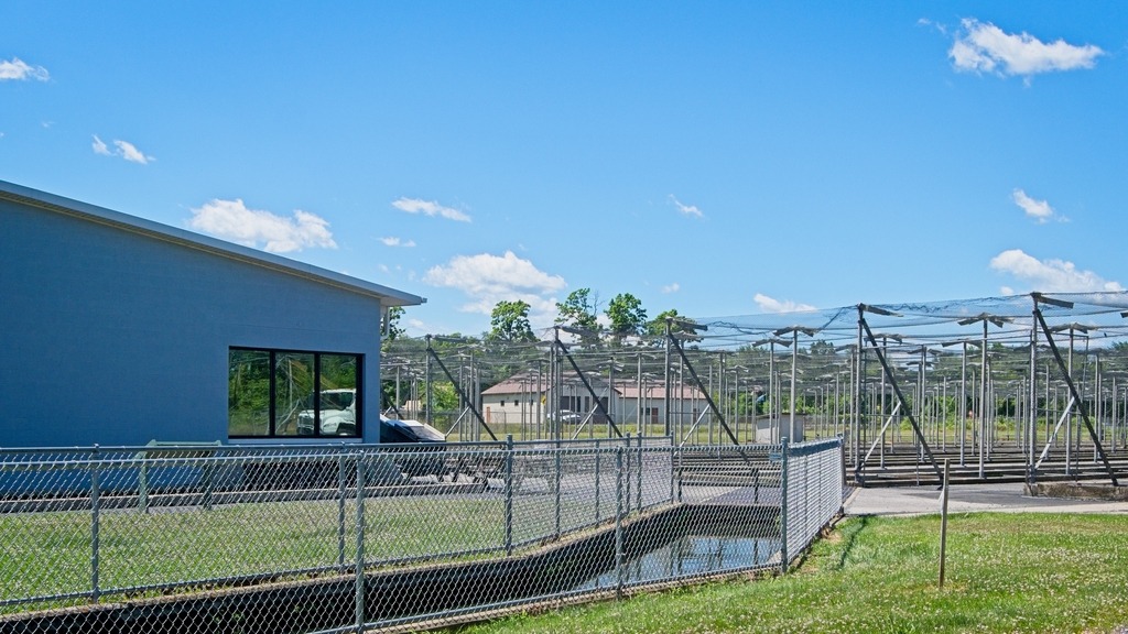
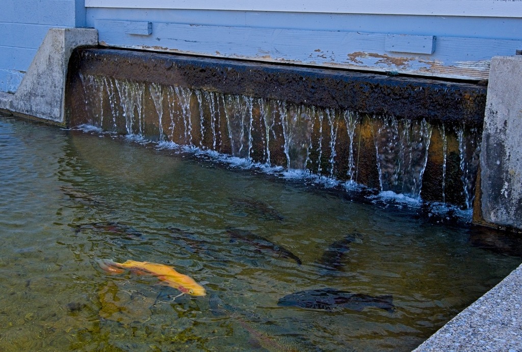
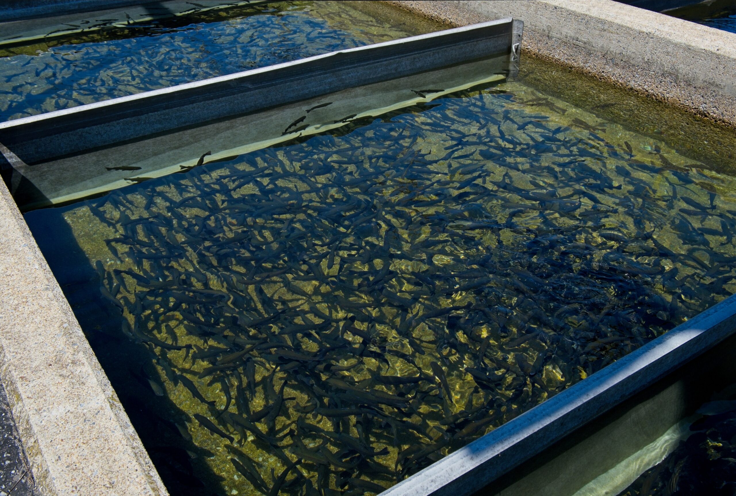
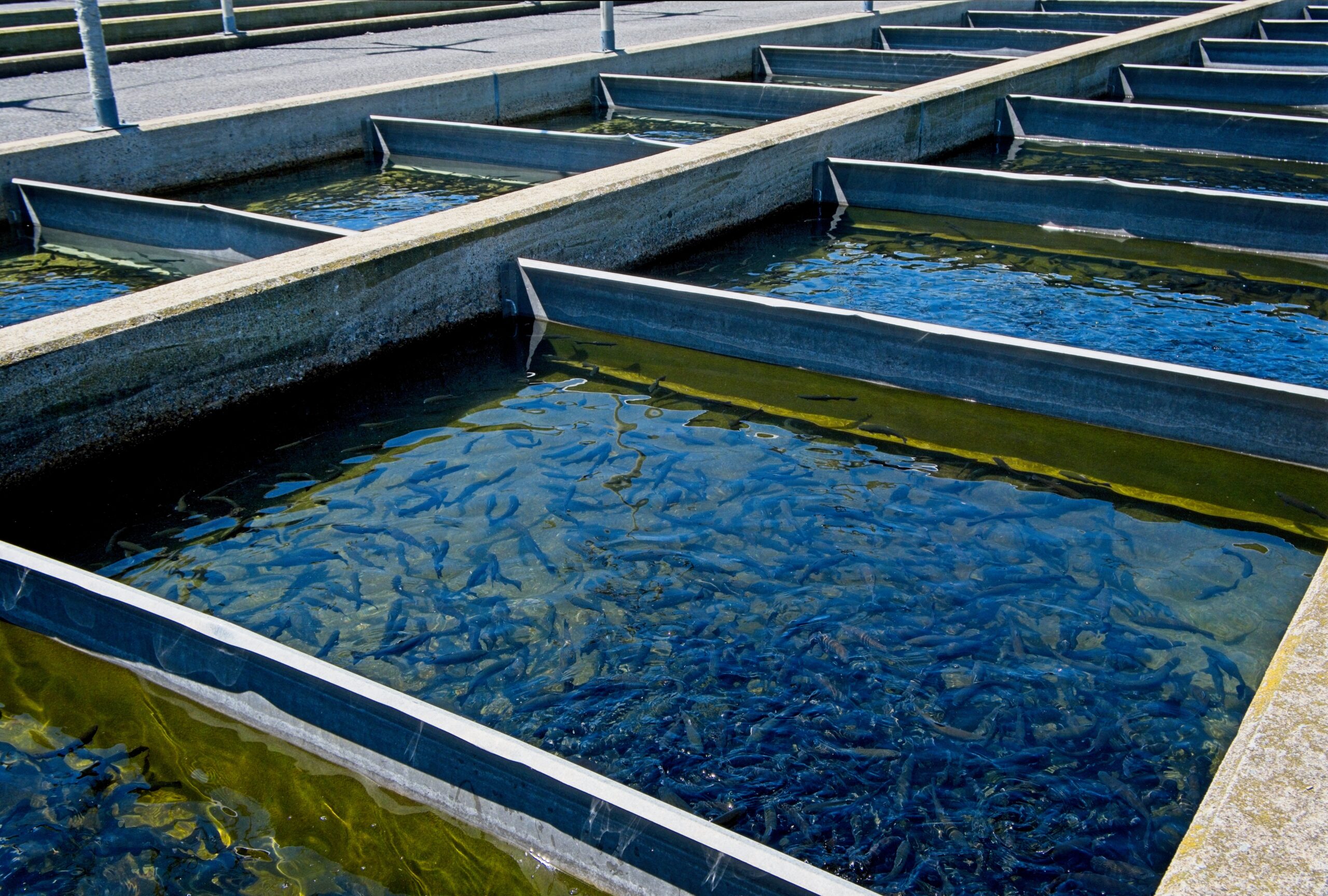
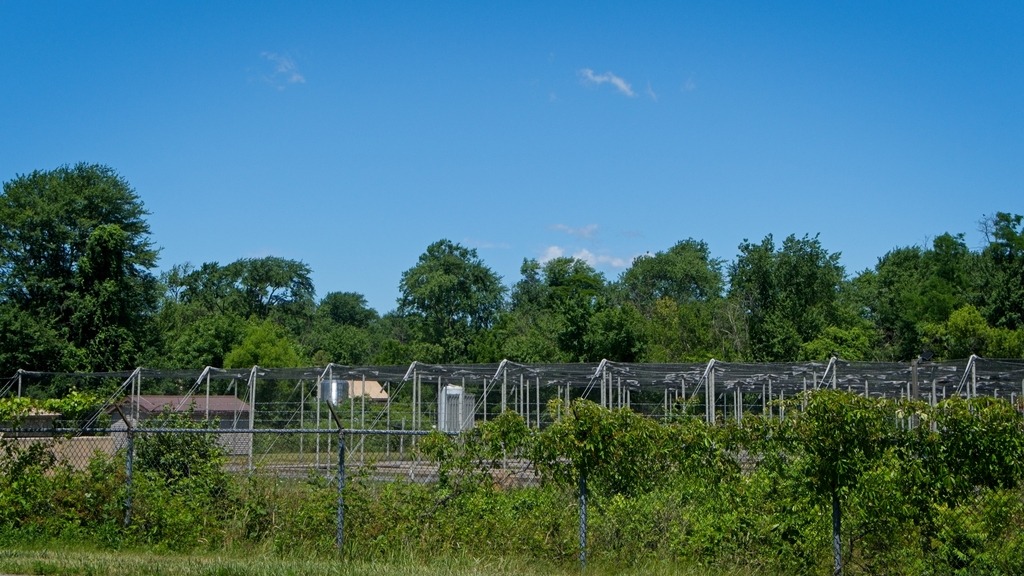
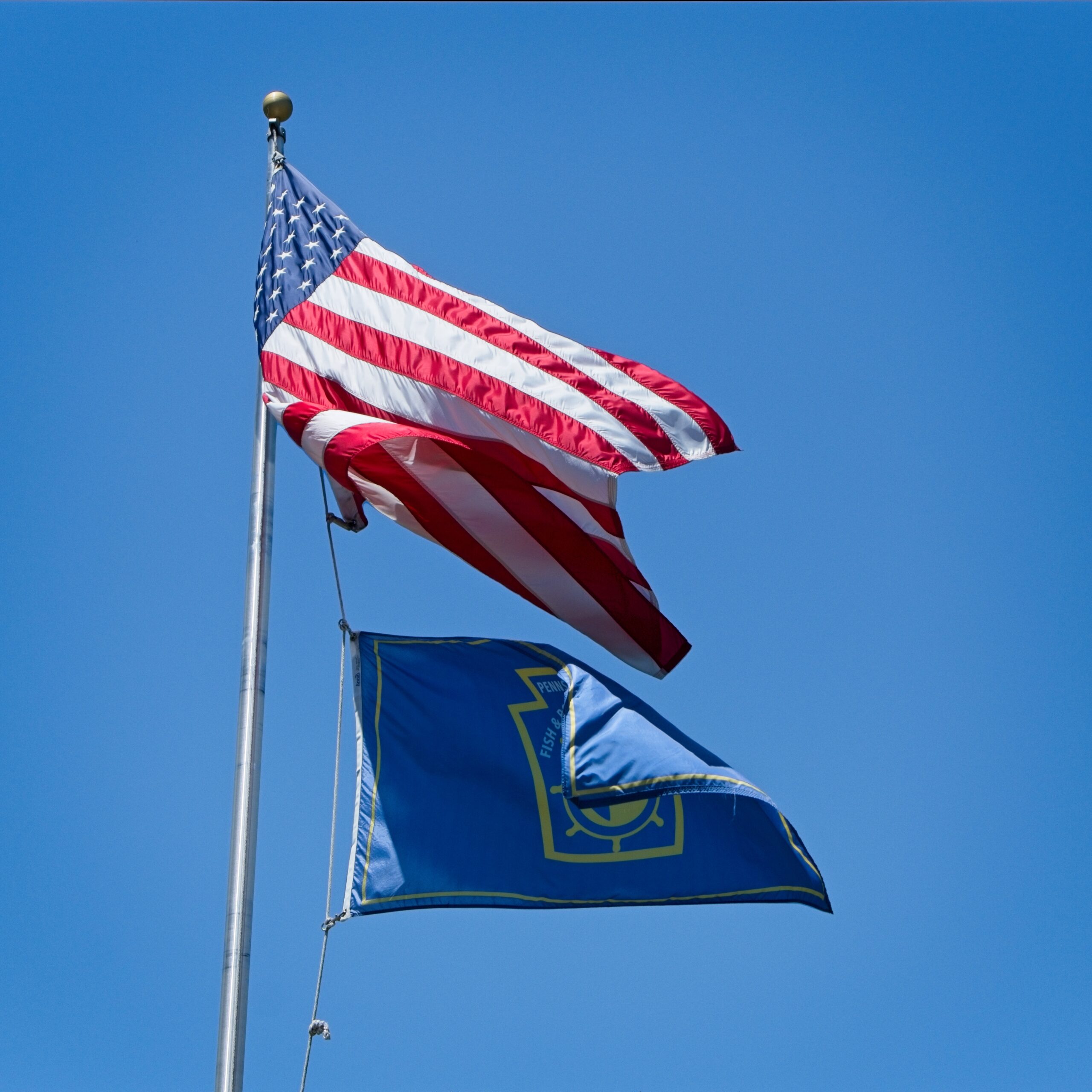
    Originally constructed in 1932, the Huntsdale State Fish Hatchery is situated on approximately 80 developed acres (167 total acres) of land owned by the state and managed by the Fish and Boat Commission.

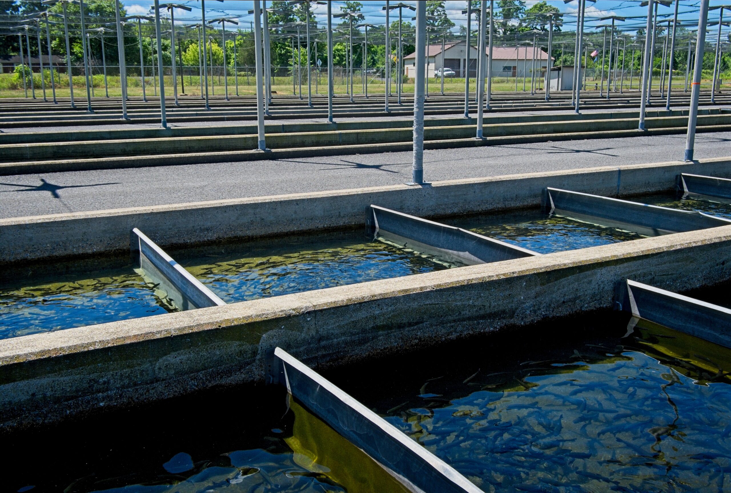
    Water supply to the facility is obtained primarily from multiple springs for coldwater (trout) culture and from a creek for warm/coolwater culture. Concrete raceways are used for trout production using intensive culture technology. Pond rearing (extensive culture) and indoor intensive culture of warm/coolwater fish also occurs on site. It raises over 670,000 pounds of trout per year for release and is near some of the famous trout waters in Cumberland County.

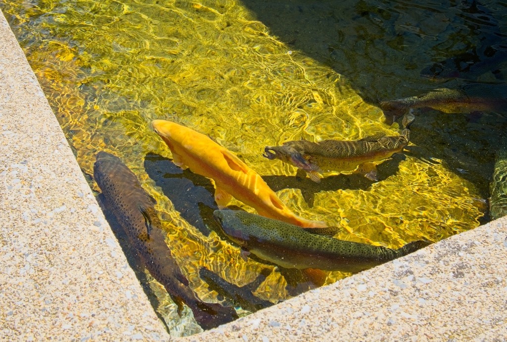
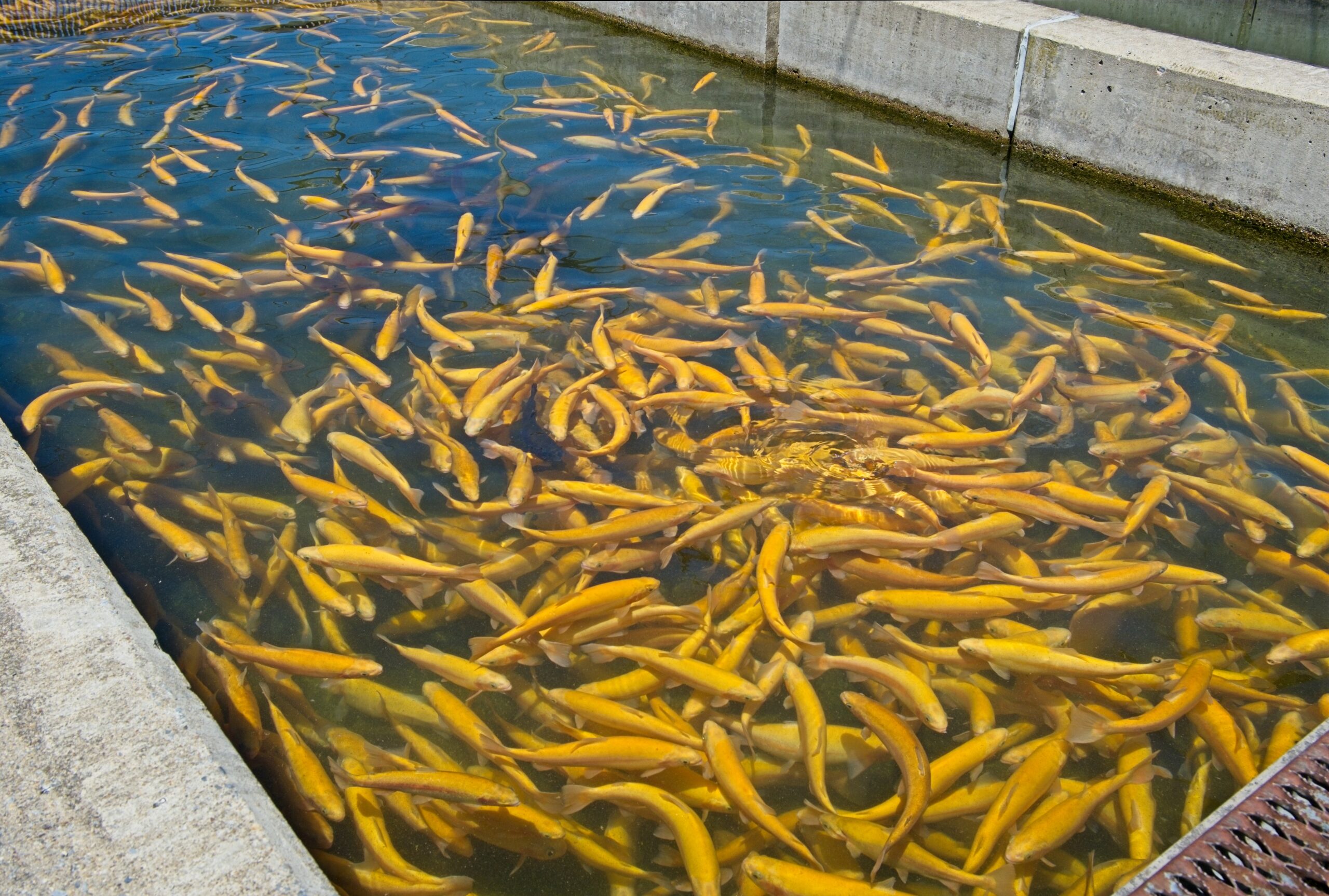
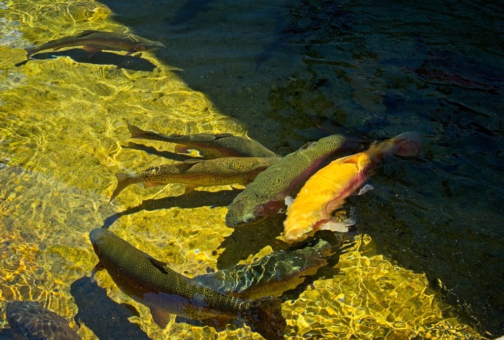
    An impressive number of palomino trout,

    blah

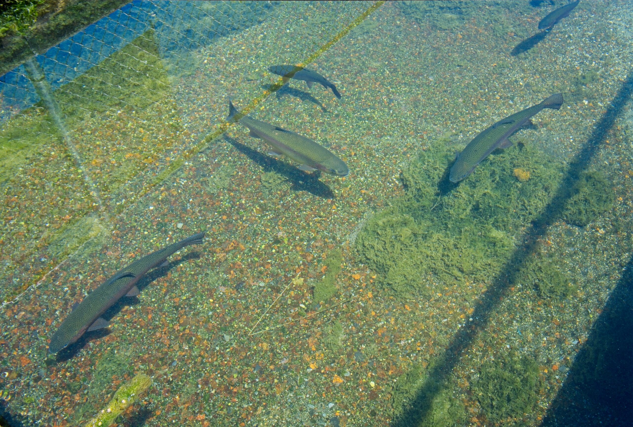
    Also quite a few brown trout, I didn’t see rainbows, but I didn’t check out all the pools.
  • The King’s Gap Mansion View

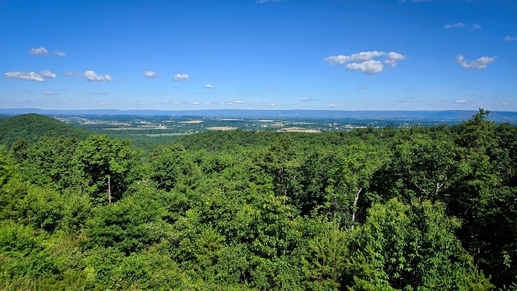
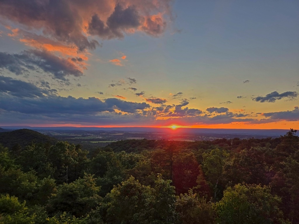
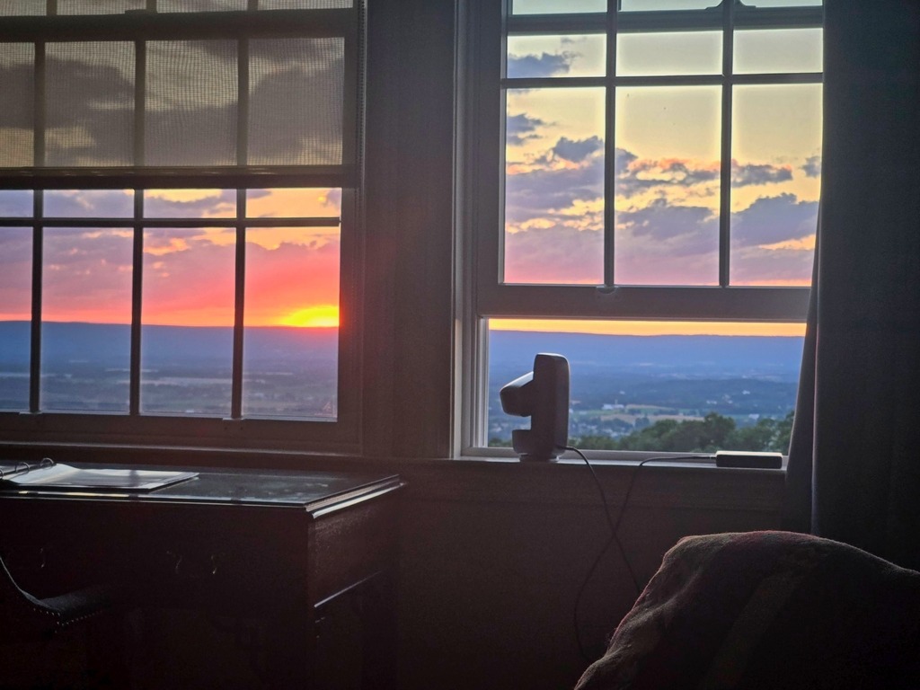
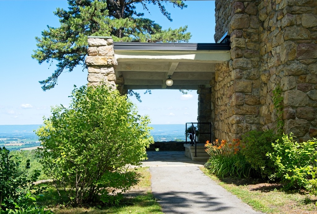
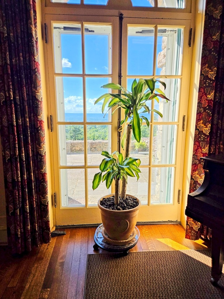
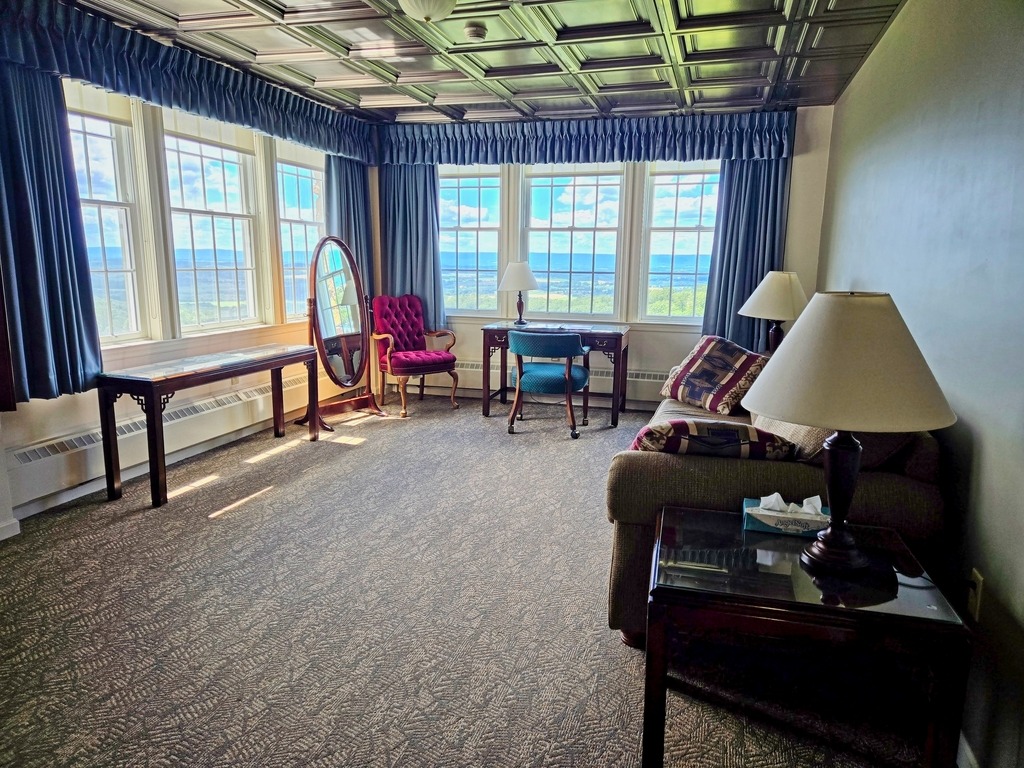
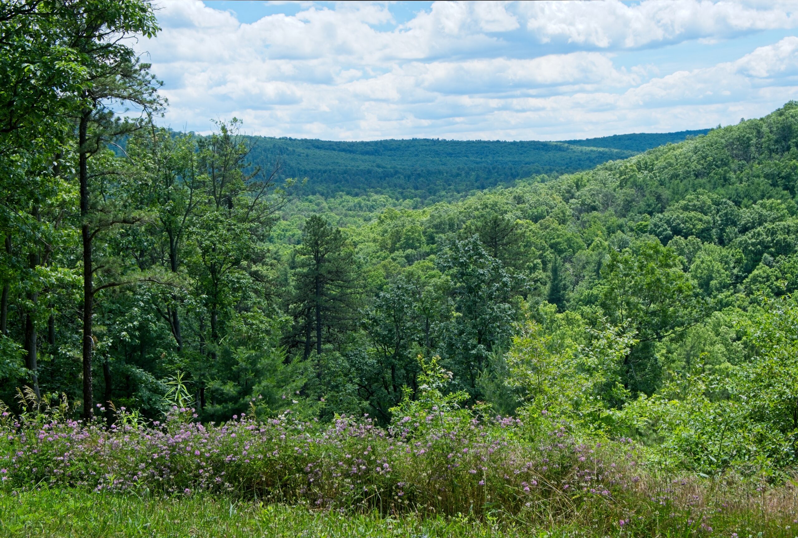
    Here are some views from my window at the Caswell-Masland Mansion at King’s Gap Environmental Educaiton Center.

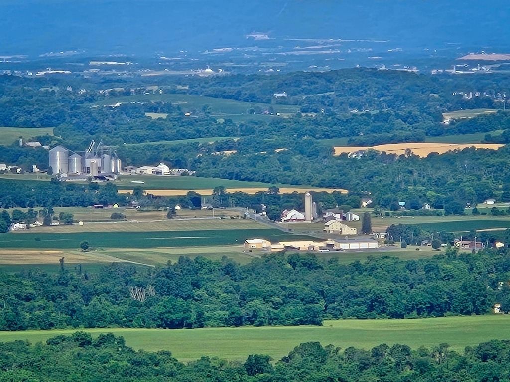
    Zooming in on the valley below.
    My Dwarf Mini smart telescope ready for duty.

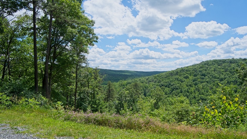
    There is a nice overlook on the access road.

  • The Mansion at King’s Gap

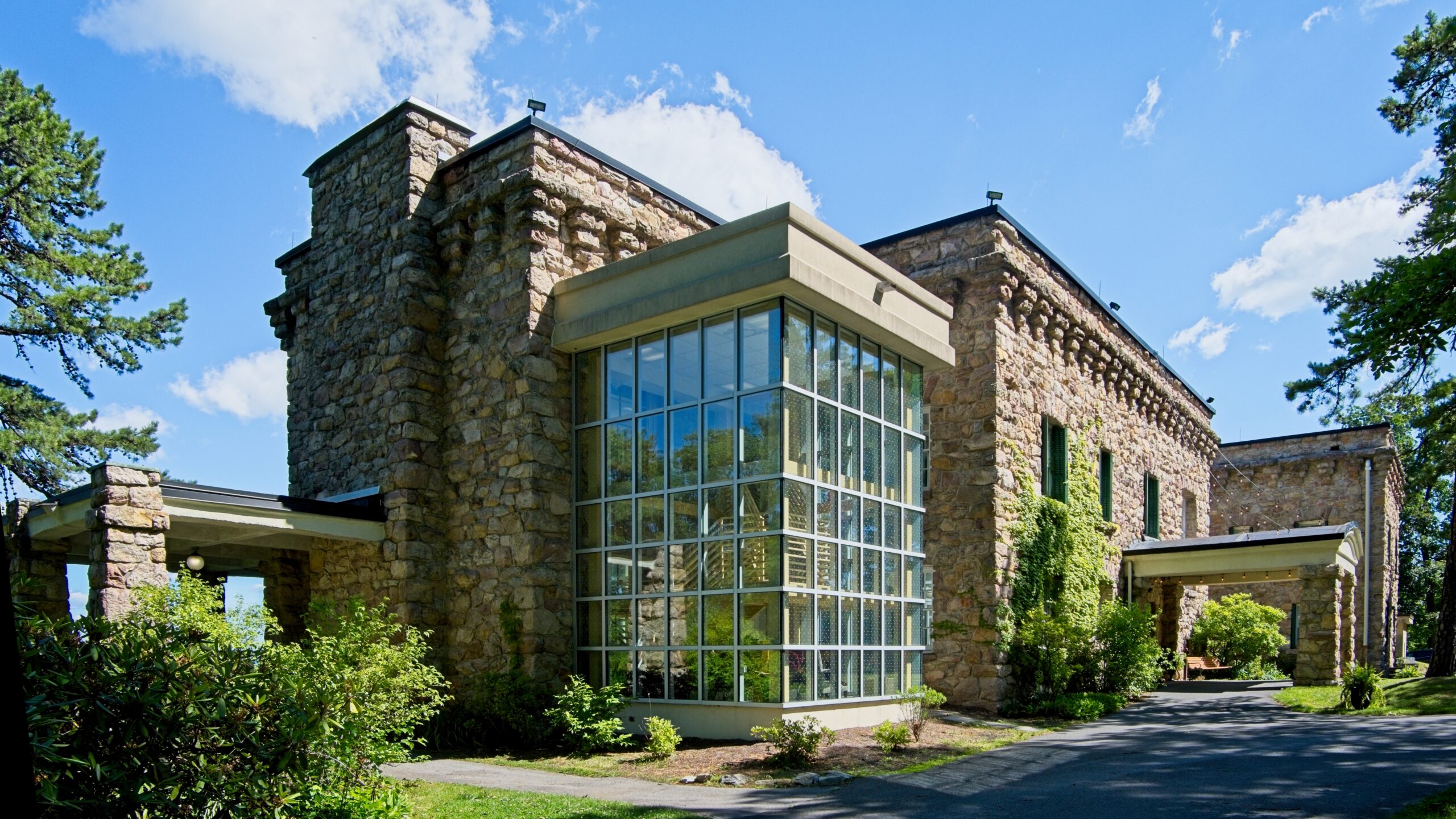
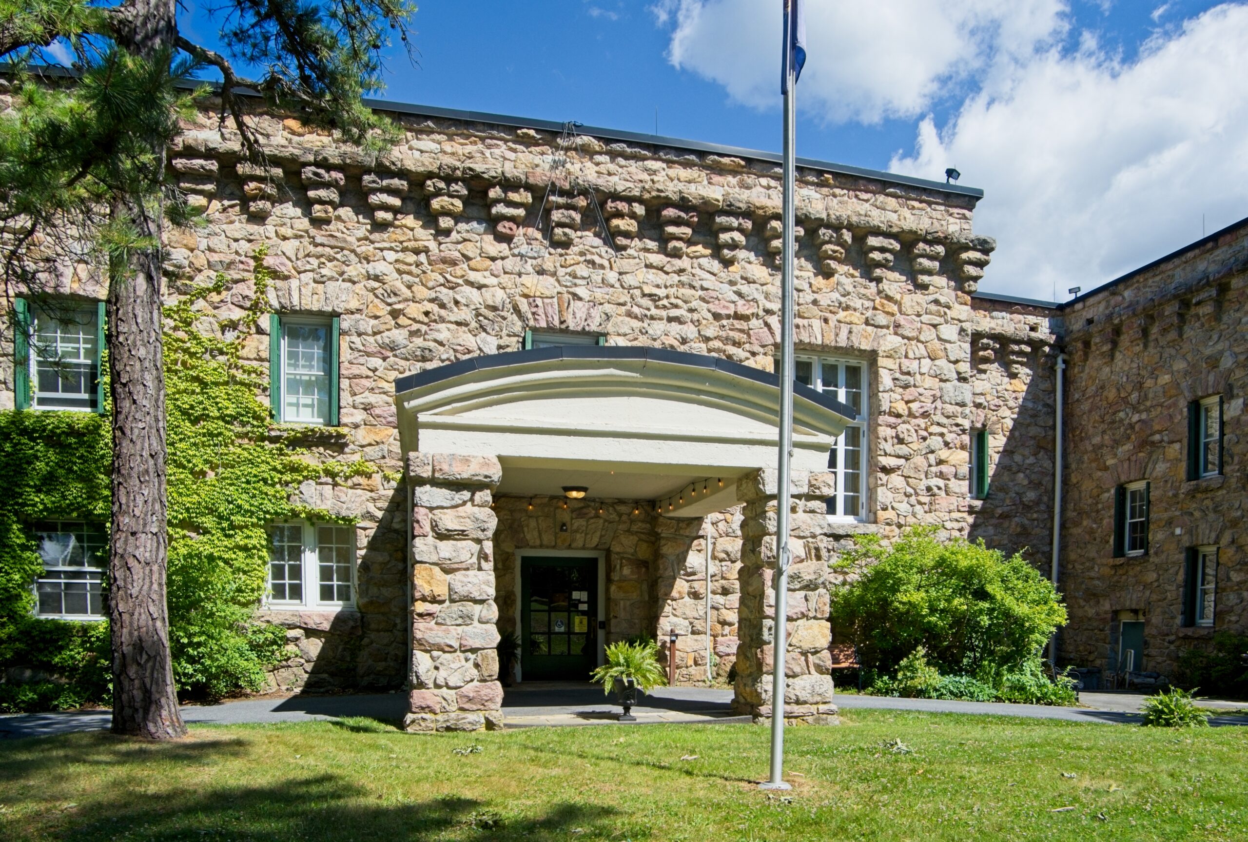
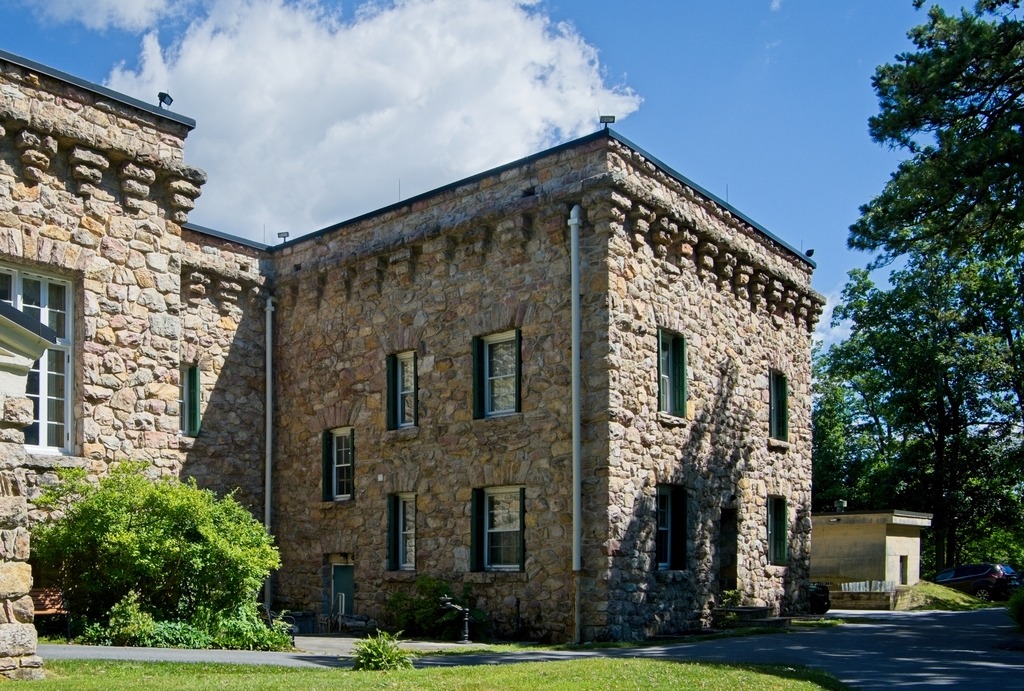
    James McCormick Cameron erected the stone mansion at the present King’s Gap Environmental Educaiton Center as a summer home around 1908. The mansion is approximately 200 feet long and is built of native Antietam quartzite quarried from a nearby ridge.

    The 32-room house was designed to resemble an Italian villa with its flat roof, huge windows and flagstone terrace. The use of steel-reinforced concrete for the internal structure of the building is believed to be one of the first such applications in local construction. The materials used in the construction were intended to make the mansion as fireproof as possible. Nevertheless, Mr. Cameron only lived at Kings Gap from May through October, when fire danger is at its lowest. Other structures include an ice house, garden, water tower, carriage house, generator building and the caretaker’s house.

    I stayed at the Mansion for two nights in June.

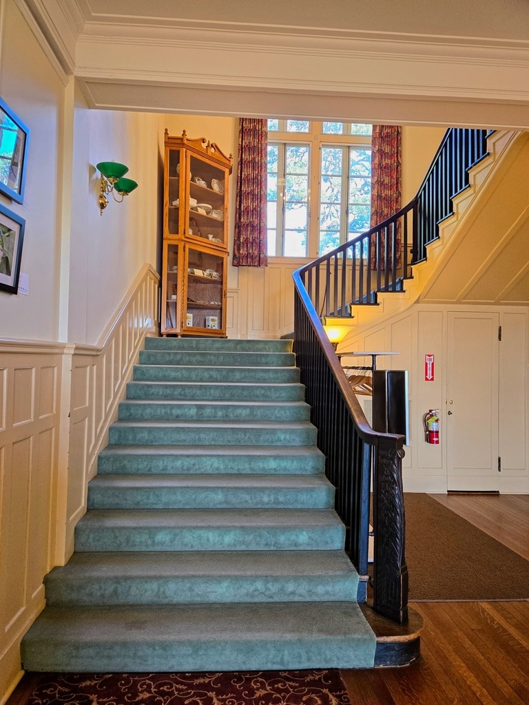
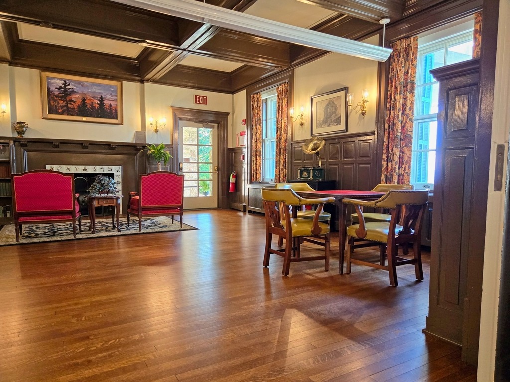
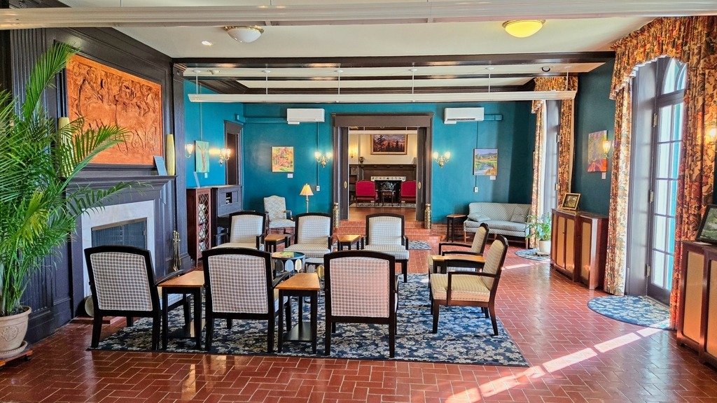
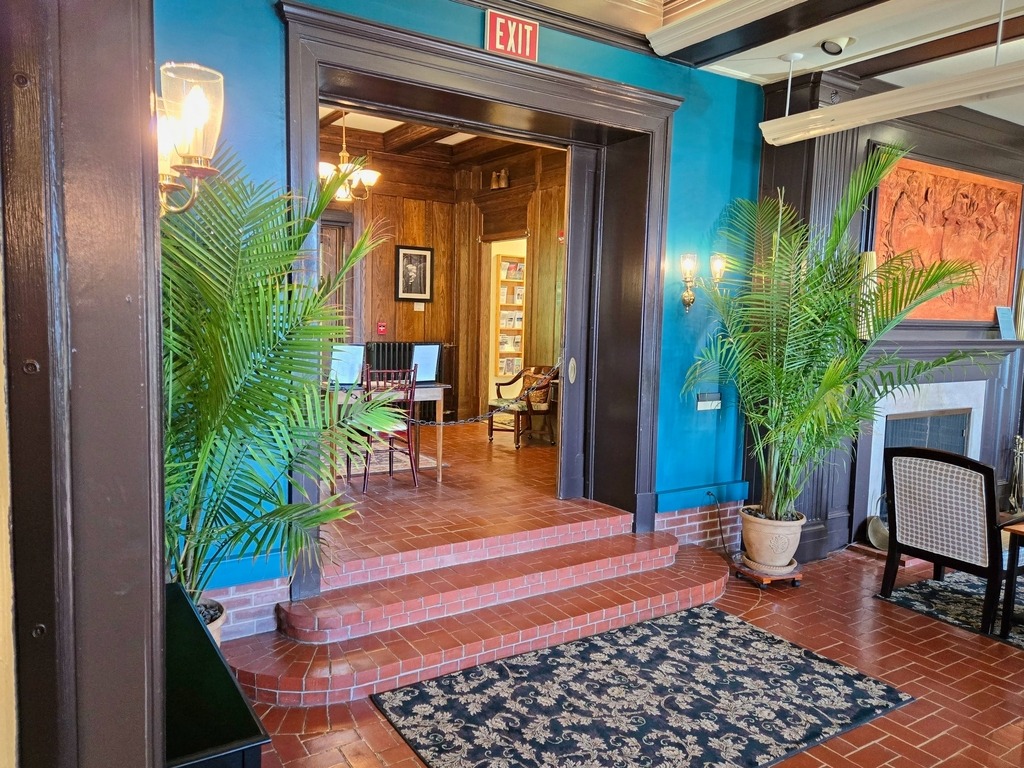
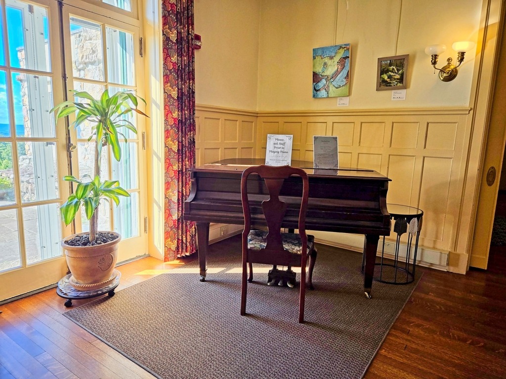
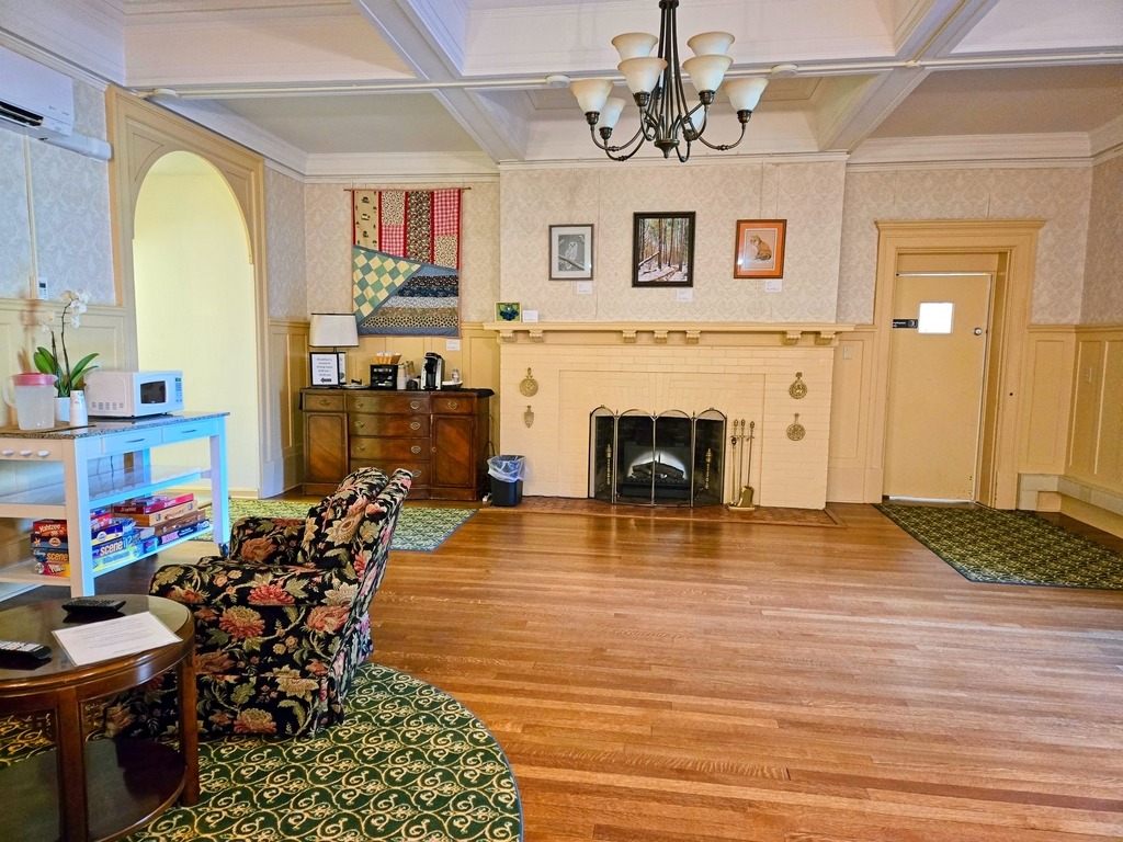
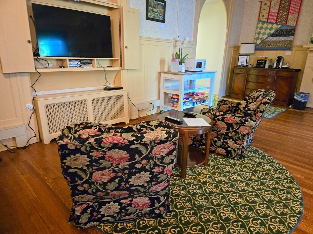
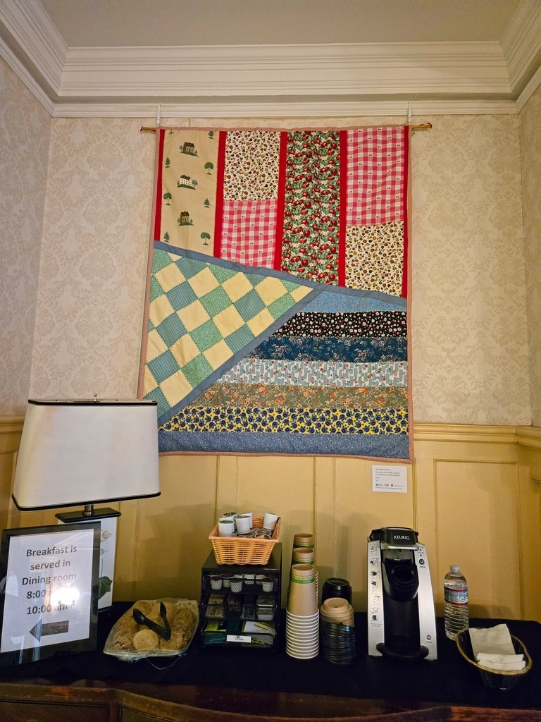
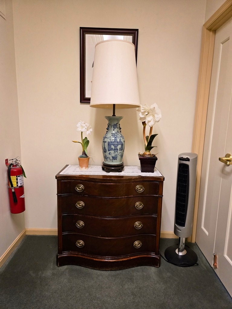
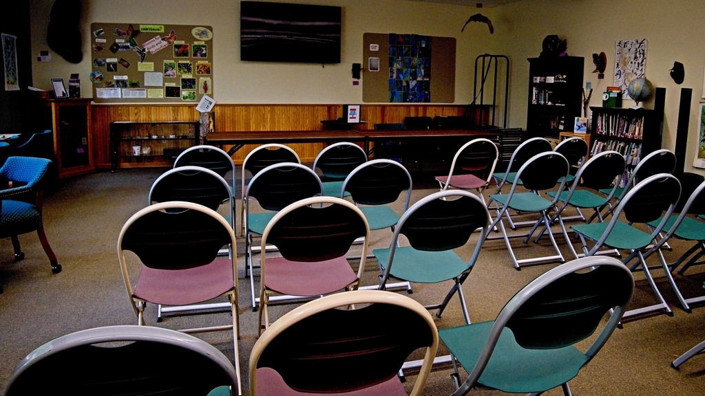
    Here is a look at the first floor public areas.

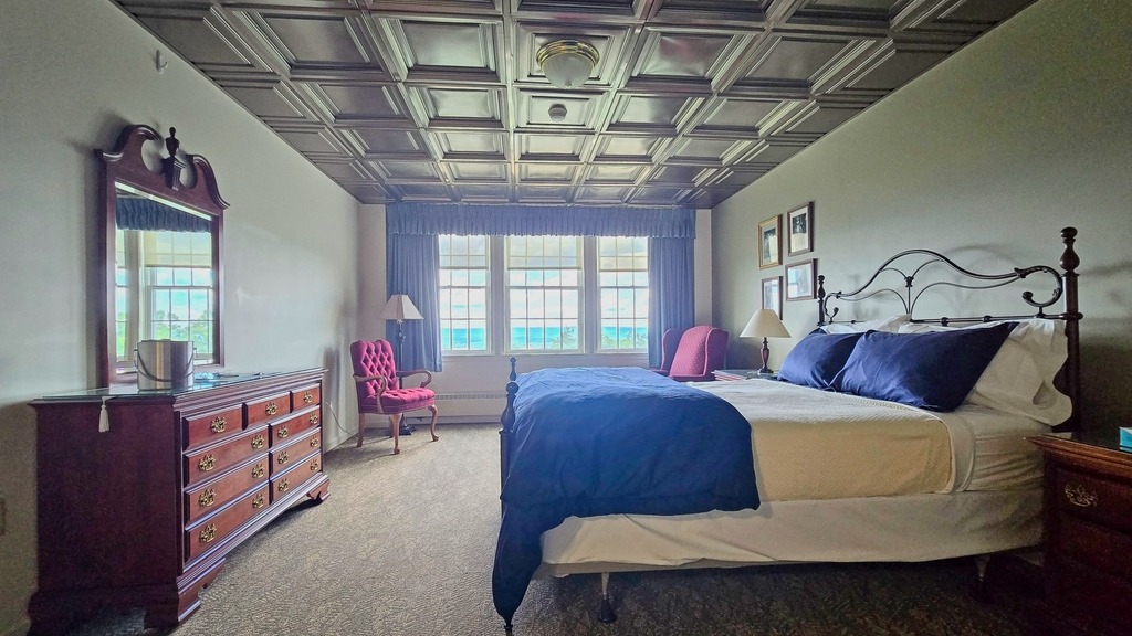
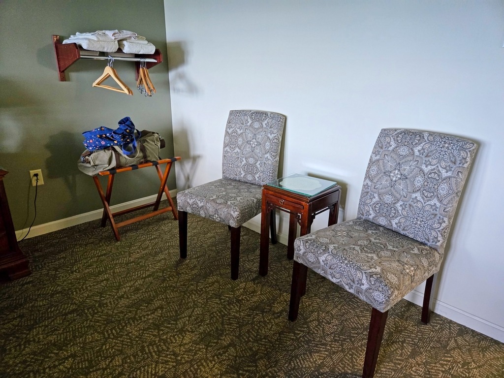
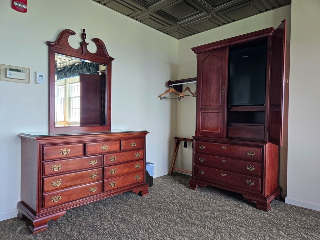
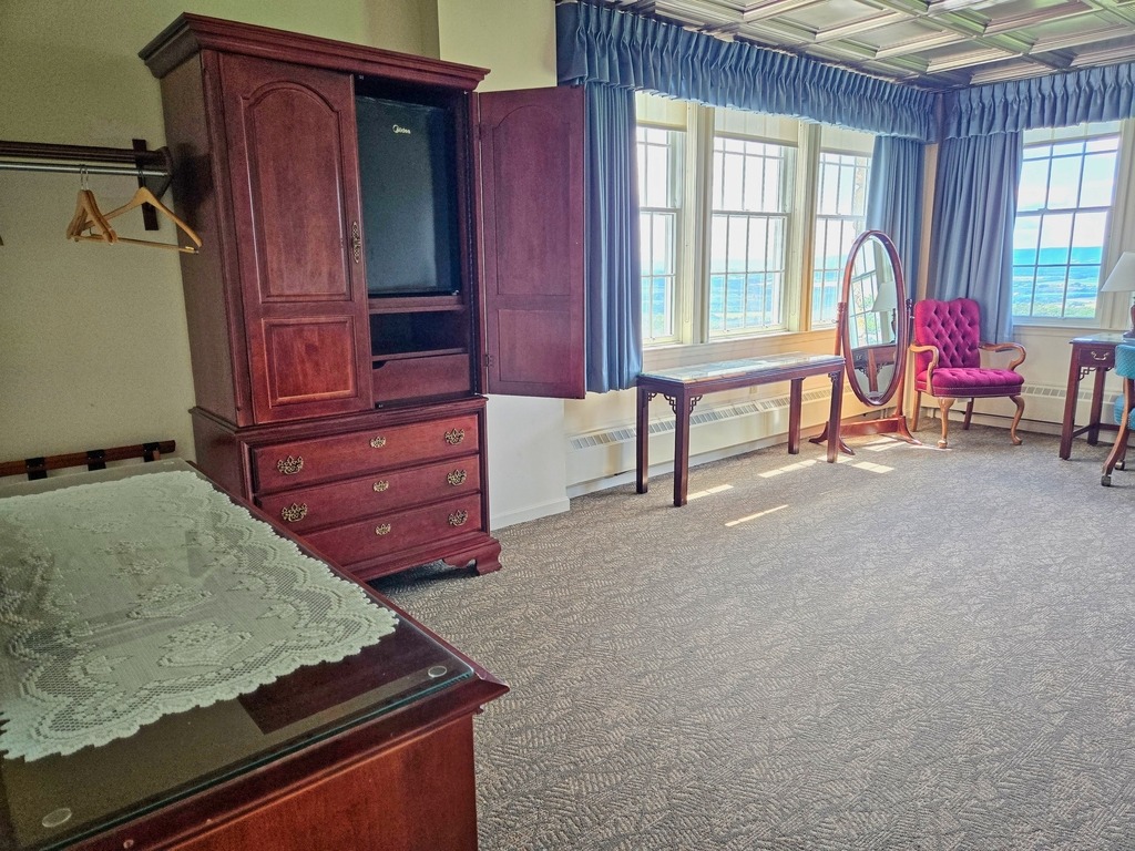
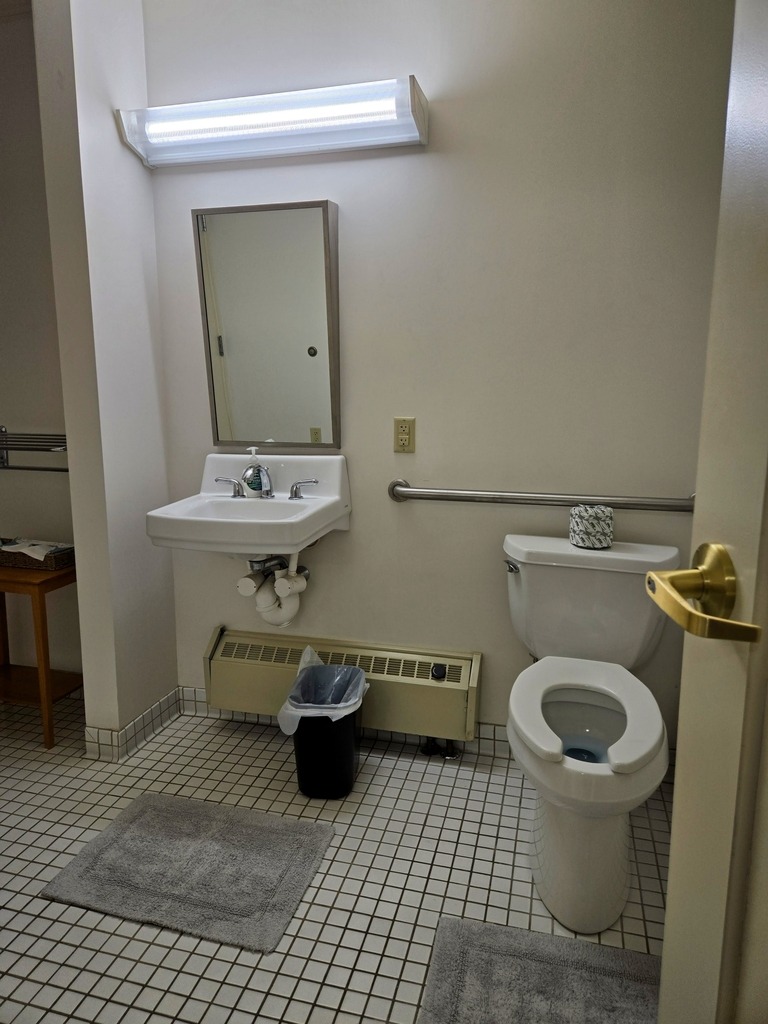
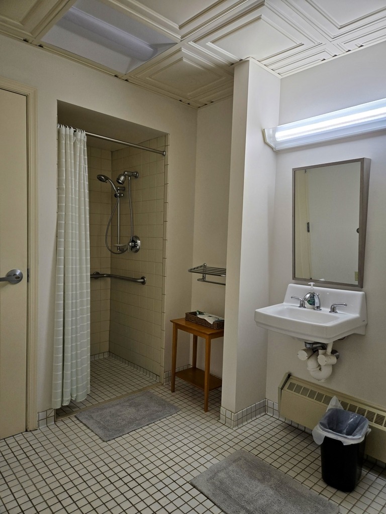
    Here is my room. It is an accessible room and one of the best I have ever stayed in.

  • King’s Gap Celebrates Juneteenth

    According to it swebsite, Kings Gap Environmental Education Center has “mountainous terrain, extensive forest, and panoramic views, which may be experienced while driving the winding road to the mansion area, or while hiking the trails. The sweeping view of the Cumberland Valley from the Cameron-Masland Mansion is impressive at any time of the year.” I concur with this assessment.

    Kings Gap consists of 2,531 acres of forest on South Mountain, with more than 25 miles of hiking trails, a permanent orienteering course, picnicking, hunting, and other recreational and educational opportunities.

    The mansion provides facilities for breakfast and overnight lodging on a seasonal basis, and may be reserved for meetings, weddings, receptions, and similar functions.

    Kings Gap is one of several state parks specifically dedicated to provide environmental education and recreational programs to the citizens of Pennsylvania. A variety of programs are available for children, teachers, and the general public to increase knowledge and awareness of the values and function of our natural resources.

    I previously visted the park, which I documented here.

    A view from the access road.
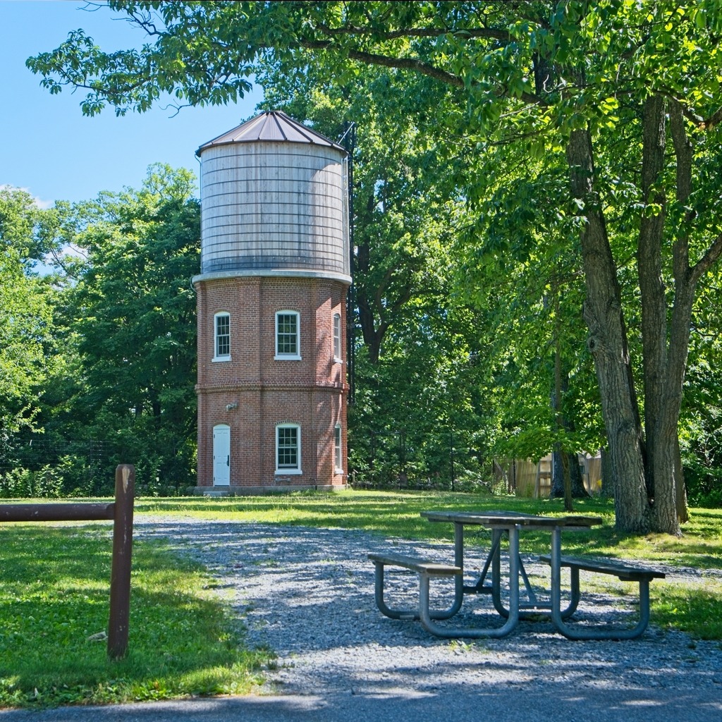
    a view of the water tower on the grounds.
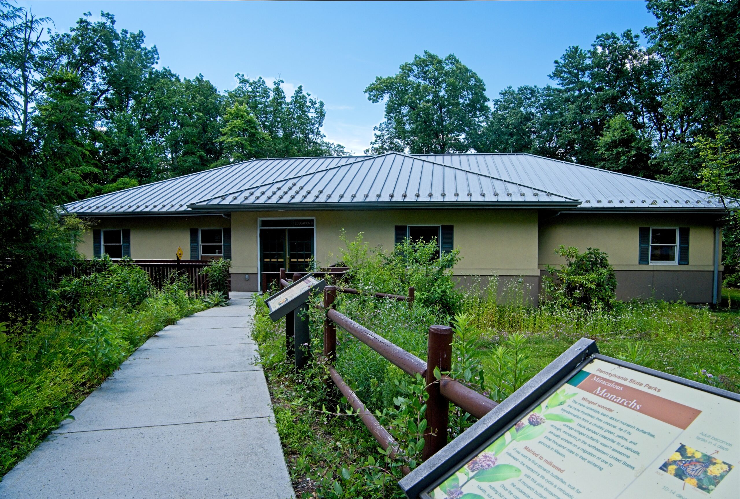
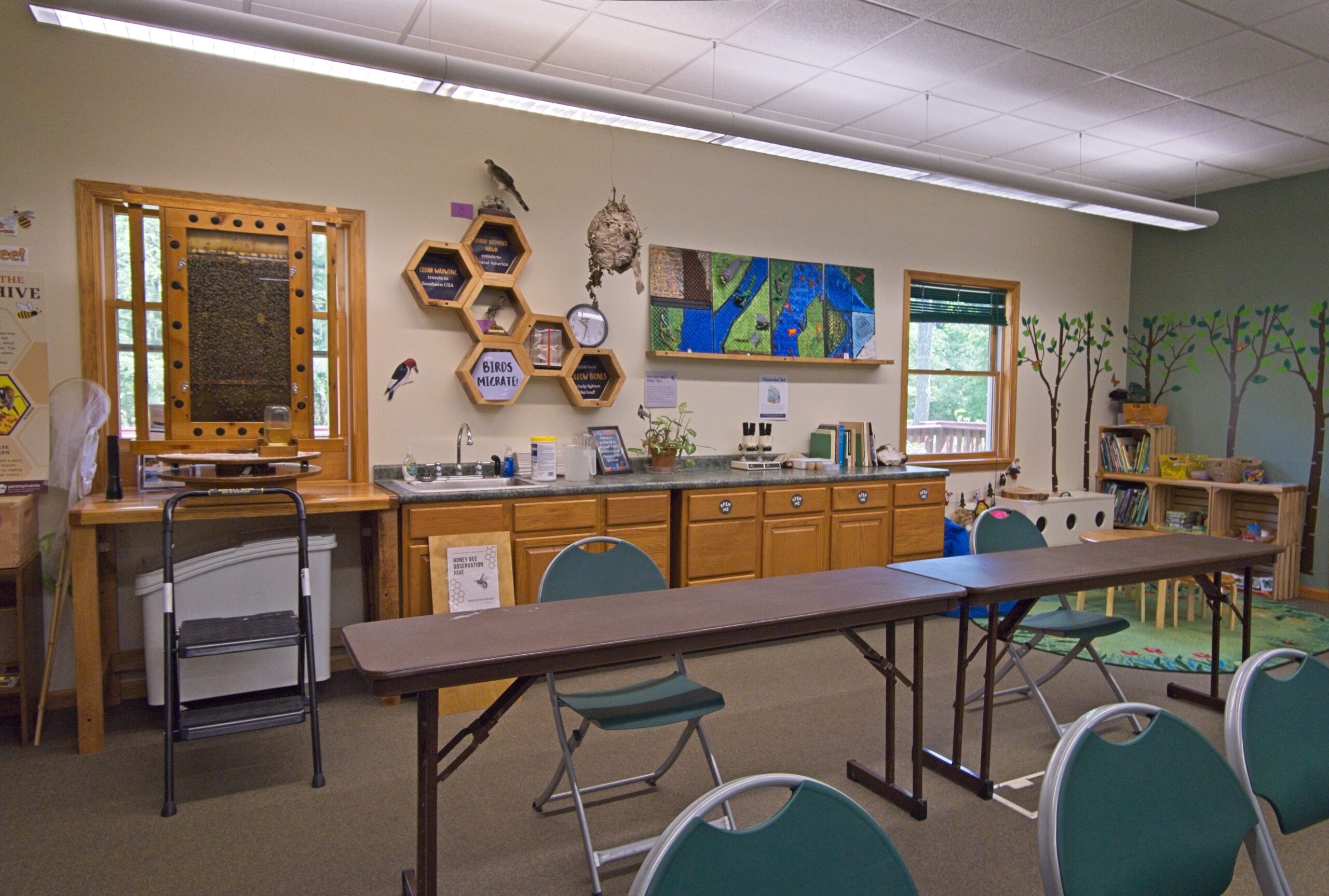
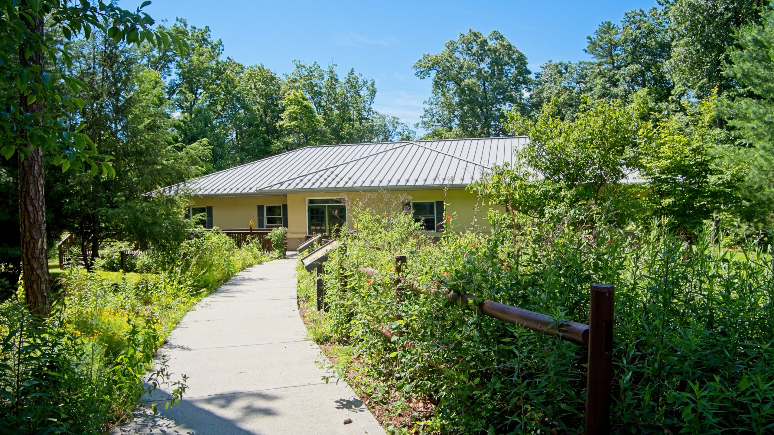
    The park office and education center,.
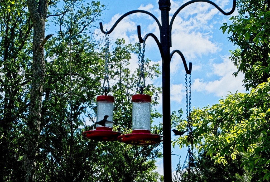
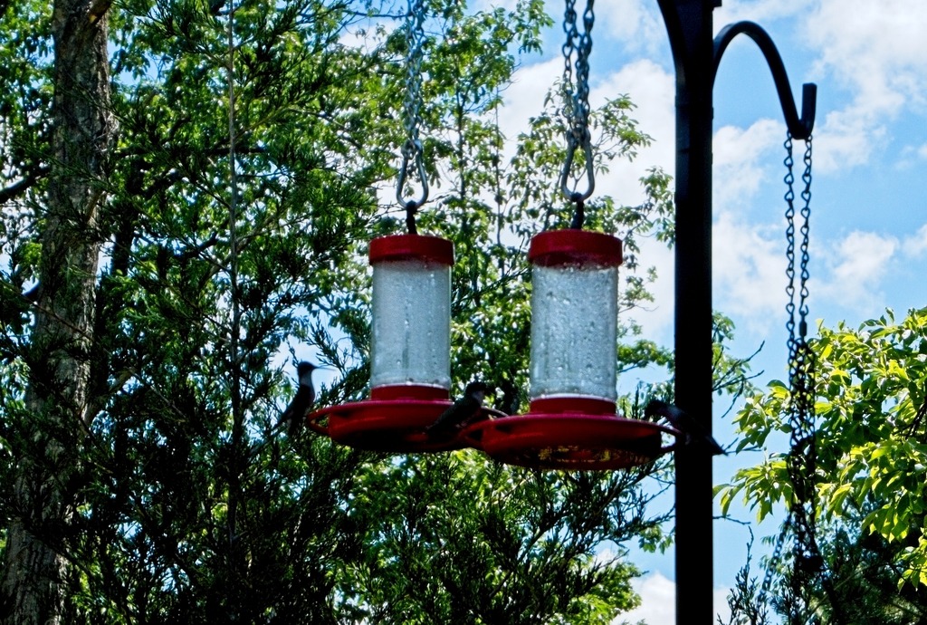
    Hummingbird feeders on the deck.
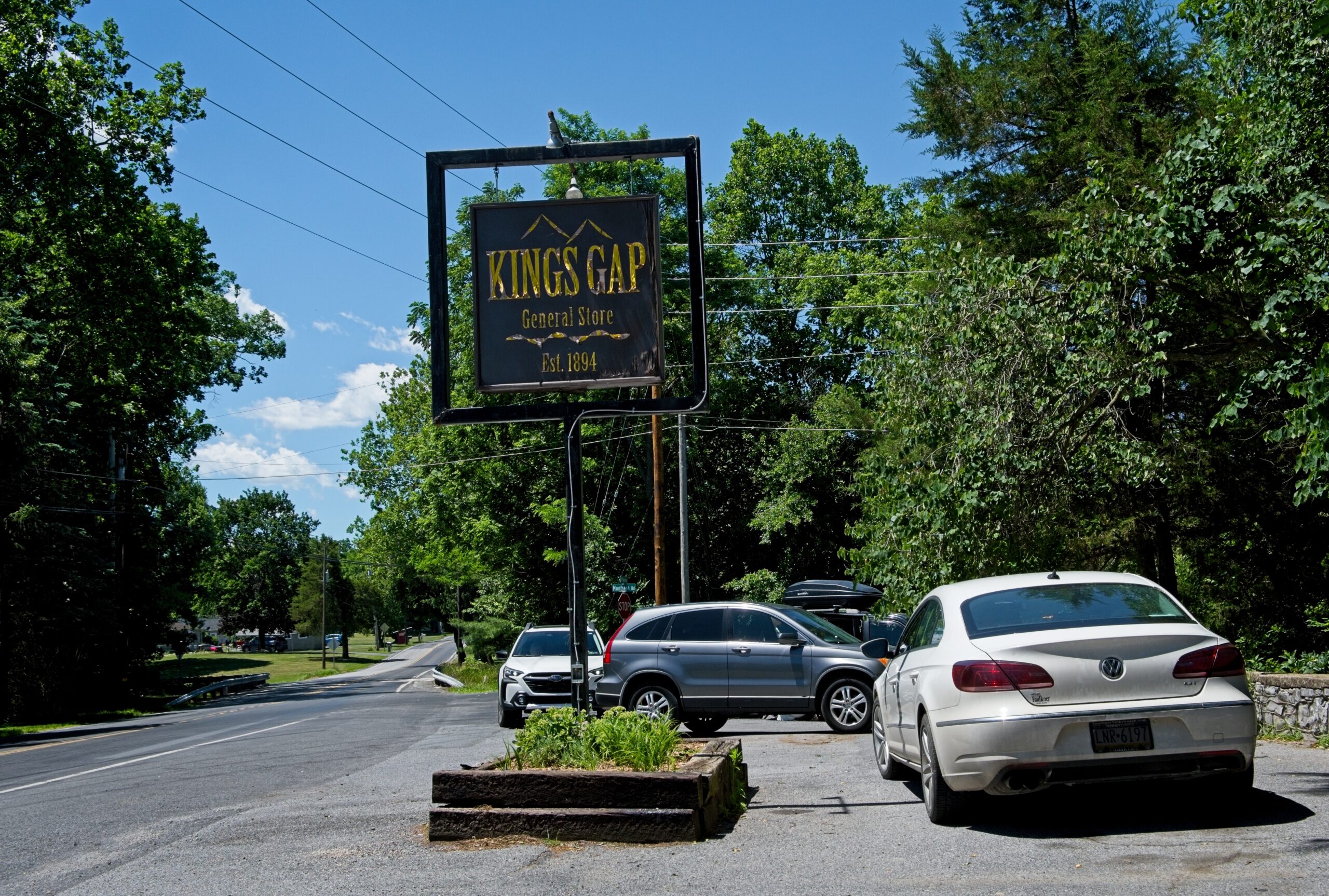
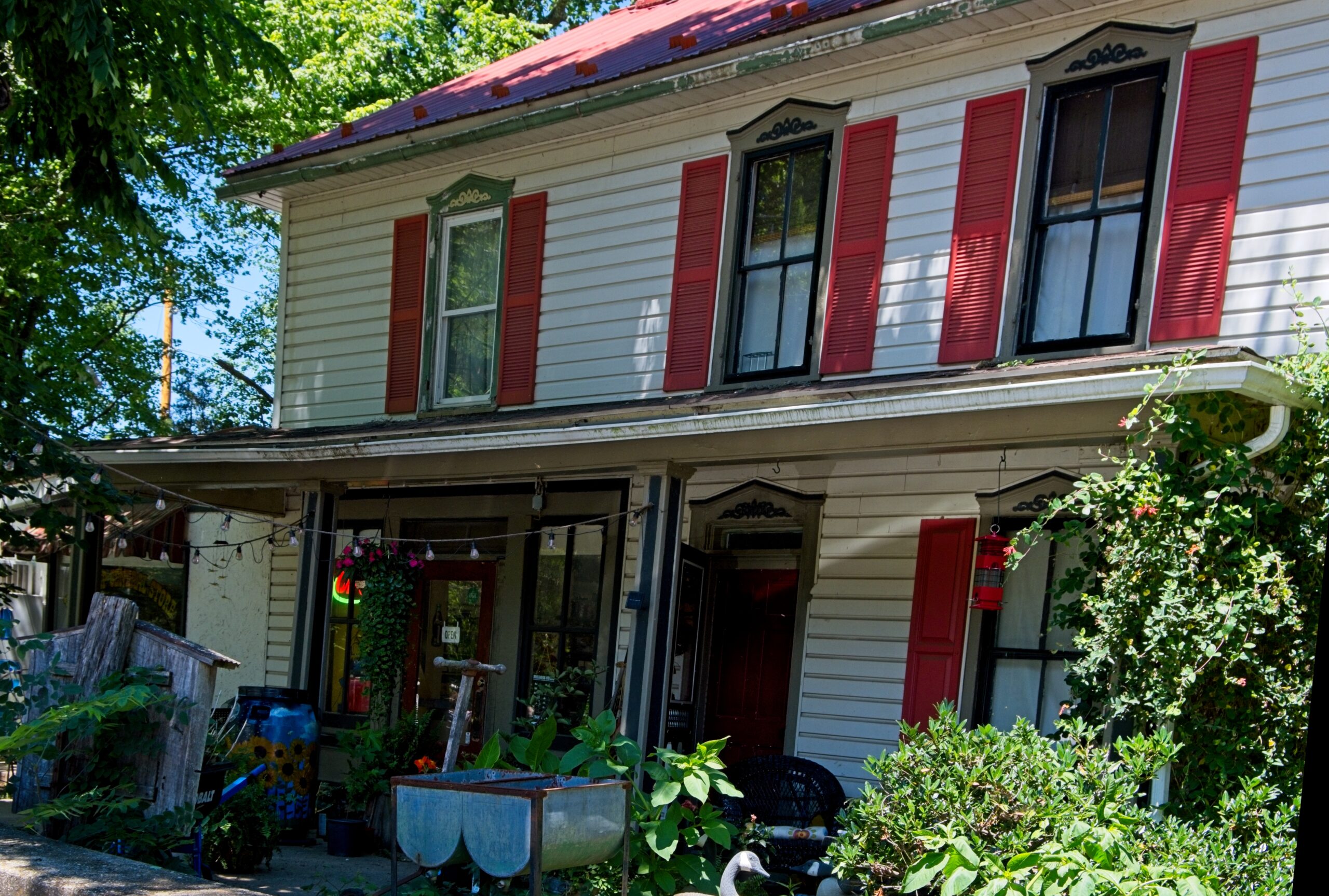
    The King’s Gap General Store at the base of the access road.
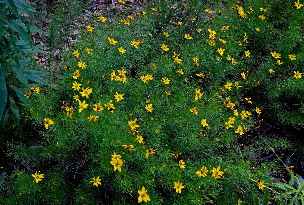
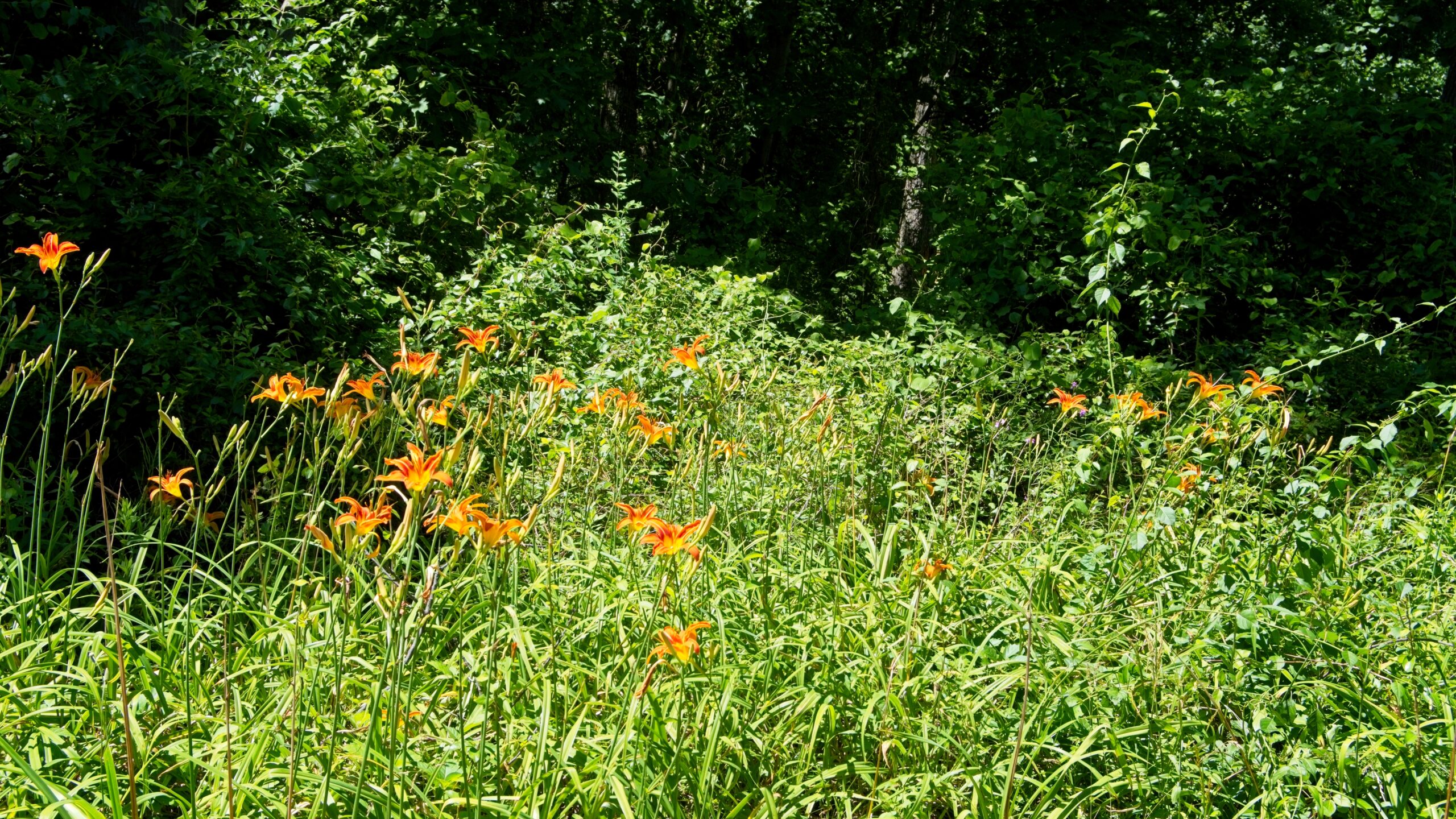
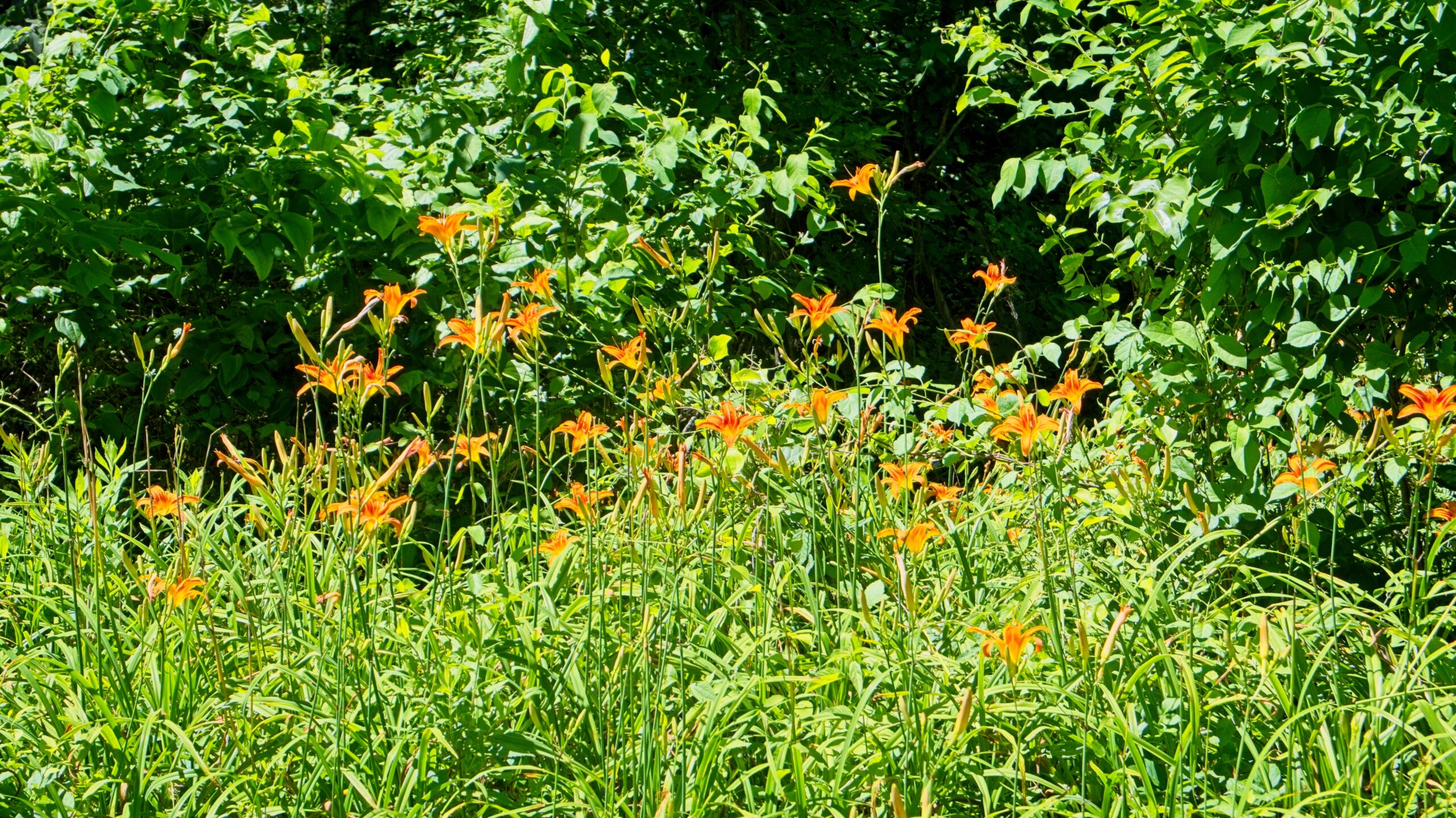
    Some tiger lillies at the Irish Gap access .
  • A Pair of Parks

    A trip into Bucks County led me to several covered bridges. Near the Cabin Run Covered Bridge is Tohickon Valley Park, a pleasnt spot with parking, picnic tables and fishing access to the Tohickon Creek. It is close to several other county parks. The 612-acre Tohickon park also has playgrounds,hiking, ball fields, and a swimming pool in season. Overnight stays include group and family camping and cabins on 22 campsites. It is deceptively large, which is why I missed a portion of it when I was there.

    Views of Tohickon Creek.

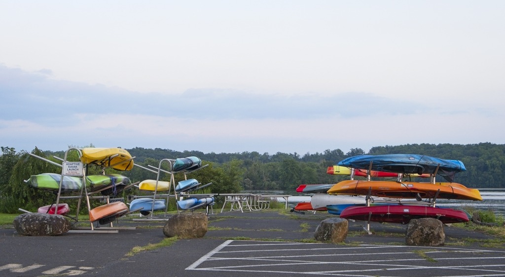
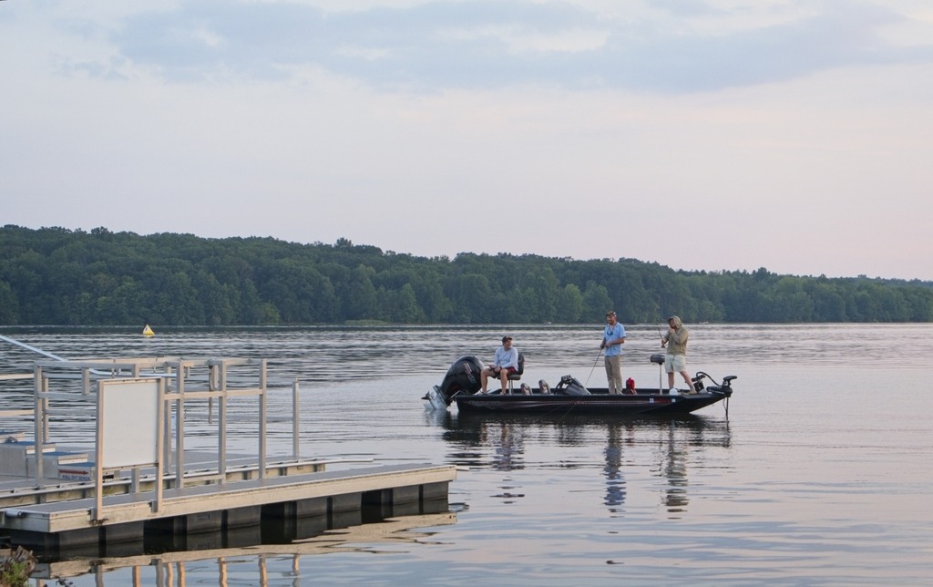
    Nockamixon State Park has been featured on this blog before.so I will not go into detail here. It is a large park in Bucks County with a lake, full service marina, hiking, picnicking, hunting and fishing. It is actually a decent location for astronomy close to the city of Philadelphia. The Tohickon boat launch area is used for astronomy and provides fairly open horizons and a 20.10 mag/arssec^2 sky.

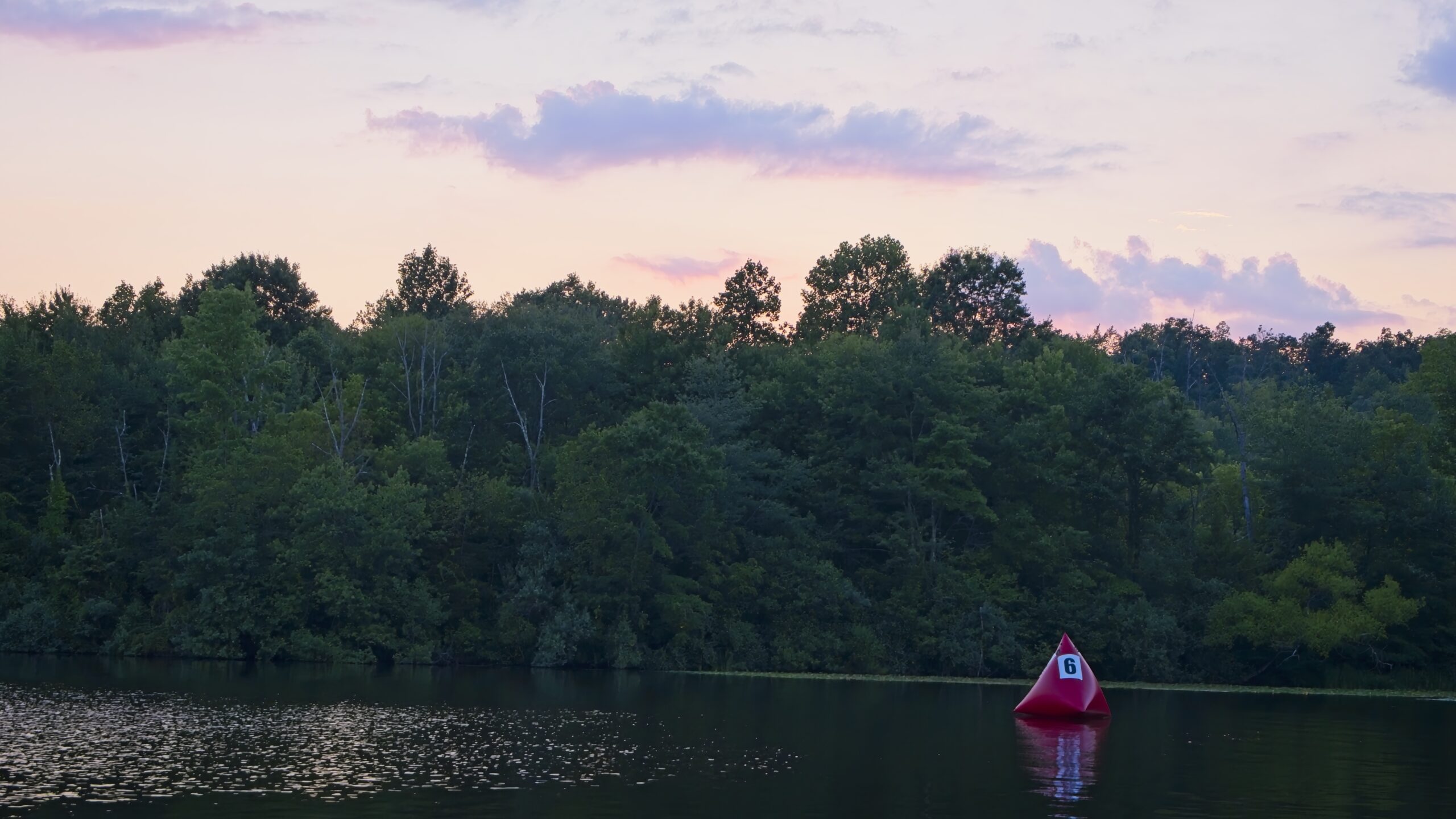
    Almost sunset, but not quite.
  • A Traditional Trio

    As you begin to learn anything about photogrpaphy, the concept of “golden hour” (the hour right before sunset or after sunrise) will certainly come up. It is considered to be an ideal time to photograph because of the attractive soft light. In fact, you will often find advice that taking photos any other time is “wrong” and that you shouldn’t bother. I find that taking photos at this time to be quite tricky and that it doesn’t necessarily lead to better results. This is especially true if you shoot without a tripod or have limited choices in terms of angle and framing.

    As you can see from the photos of covered bridges below. there is a dramatic difference in lighting between the photos taken from one side of the bridge compared to the other. However, I still like to document both sides of a bridge, if possible, so I am stuck with shots that really aren’t that great. If the subject is backlit, as it is here in some photos, it can look terrible. At golden hour you can be fighting low light, back-lighting (but with the foreground not usable as a silhouette), harsh light and long shadows.

    Rant over. I don’t get into Bucks County as often as I should. I took the opportunity of a trip to Nockamixon State Park for a star party to visit some covered bridges in the area. The first stop was Mood’s Covered Bridge, a historic covered bridge located in East Rockhill Township. It crosses the East Branch Perkiomen Creek.


    Built in 1874 and designed in the town truss style, the bridge was 120 feet long and 15 feet wide. It was added to the National Register of Historic Places on December 1, 1980. It was destroyed by arson on June 22, 2004,and subsequently removed from the National Register of Historic Places. The wooden cover was subsequently rebuilt and the bridge reopened on February 15, 2008. It is an example of a one-way bridge and is open to vehicle traffic.

    Moods Covered Briidge. Clearly one-way only.
    Moods Covered Bridge. Here is a photo froom the other side. See how washed out the sky is by comparison.

    Below we have the all-white Loux Covered Bridge. A historic wooden covered bridge located on Wismer Road crossing Cabin Run upstream from the Cabin Run Covered Bridge in Bedminster Township and Plumstead Township. It was built in 1874 by David Sutton out of hemlock in the Town Truss style. This is one of the shorter covered bridges in Bucks County at only 60 feet (18 m) long. The bridge was added to the National Register of Historic Places on December 1, 1980. Bucks County obviously does not go for a uniform look for their covered bridges.

    Loux Covered Bridge
    Loux Covered Bridge

    The Cabin Run Covered Bridge has a distinctive look. It is alsoo a historic covered bridge located in Point Pleasant, Plumstead Township. The bridge was built in 1871, and is 15 feet (4.6 m) wide and has a length of 82 feet (25 m). The Town truss bridge crosses Cabin Run (creek) downstream from the Loux Covered Bridge. It was added to the National Register of Historic Places on December 1, 1980. Together with the Loux Bridge, it is an example of a cluster or pair of bridges built over the same stream, as is found elsewhere in Pennsylvania.

    Cabin Run Covered Bridge
    Cabin Run Covered Bridge
    This property is unusually close. You can even see the approach railing.
    Cabin Run Covered Bridge
  • A Busy Month of Stargazing

    The September Hubble 35th Anniversary Challenge offered a large number of targets, and I was able to capture them all. More information about the Challenge can be found here.

    The targets were a diverse mix of nebulae, star clusters and a galaxy, and the list includes some famous objects. My favorite target this month was the Dumbbell Nebula, Messier 27. I had imaged this object before but thought the one I took in September wasn’t bad for short exposure time. You can clearly see the dumbbell or hourglass shape and the colors.

    The Dumbbell Nebula (also known as the Apple Core Nebula, Messier 27, and NGC 6853) is a planetary nebula (nebulosity surrounding a white dwarf star, not a planet) in the constellation Vulpecula, at a distance of about 1360 light-years. It was the first such nebula to be discovered, by Charles Messier in 1764. At its brightness of visual magnitude 7.5 and diameter of about 8 arcminutes, it is easily visible in binoculars and is a popular observing target.

    M27, the Dumbbell Nebula

    The Crescent Nebula (also known as NGC 6888 or Caldwell 27) is an emission nebula in the constellation Cygnus, about 5000 light-years away from Earth. It was discovered by William Herschel in 1792. It is formed by the fast stellar wind from the Wolf-Rayet star WR 136 (HD 192163) colliding with and energizing the slower moving wind ejected by the star when it became a red giant around 250,000 to 400,000 years ago. The nebula is a rather faint visual target, but with a telescope the nebulosity can be seen, and perhaps the rounded E shape that looks like the Euro symbol.

    c27, the Crescent Nebula

    The North America Nebula (NGC 7000 or Caldwell 20) is an emission nebula in the constellation Cygnus, close to Deneb (the tail of the swan and its brightest star) in the night sky. It is named because its shape resembles North America. It is a large object and only a portion can be see here. The North America shape is pointed downward toward the right.
    On October 24, 1786, William Herschel noted a “faint milky nebulosity scattered over this space, in some places pretty bright.” The most prominent region was catalogued by his son John Herschel on August 21, 1829. It was listed in the New General Catalogue as NGC 7000, where it is described as a “faint, most extremely large, diffuse nebulosity.”  In 1890, the pioneering German astrophotographer Max Wolf noticed this nebula’s characteristic shape on a long-exposure photograph, and dubbed it the North America Nebula.

    NGC 7000, the North American Nebula

    NGC 6822 (also known as Barnard’s Galaxy, IC 4895, or Caldwell 57) is a barred irregular galaxy approximately 1.6 million light-years away in the constellation Sagittarius. Part of the Local Group of galaxies, it was discovered by E. E. Barnard in 1884, with a six-inch refractor telescope. It is the closest non-satellite galaxy to the Milky Way, but lies just outside its virial radius. It is similar in structure and composition to the Small Magellanic Cloud. It is about 7,000 light-years in diameter. The irregular shape can be seen in this photograph, albeit as a faint smudge.

    C57, Barnard’s Galaxy

    We now move on to a series of star clusters. The very pretty Messier 55 (also known as NGC 6809 or the Specter Cluster) is a globular cluster in the south of the constellation Sagittarius. It was discovered by Nicolas Louis de Lacaille in 1752 while observing from what today is South Africa. Starting in 1754, Charles Messier made several attempts to find this object from Paris but its low declination meant from there it rises daily very little above the horizon, hampering observation. He observed and catalogued it in 1778. The cluster can be seen with 50 mm binoculars; resolving individual stars needs a medium-sized telescope.

    It is about 17,600 light-years away from Earth.

    M55

    Messier 71 (also known as NGC 6838 or the Angelfish Cluster) is a globular cluster in the small constellation Sagitta. It was discovered by Philippe Loys de Chéseaux in 1745 and included by Charles Messier in his catalog of non-comet-like objects in 1780. It was also noted by Koehler at Dresden around 1775. This star cluster is about 13,000 light years away from Earth and spans 27 light-years (8 pc). The irregular variable star Z Sagittae is a member. It was once thought to be a densely packed open cluster, but modern photometry has revealed characteristics of a globular cluster. It is considered a loosely concentrated globular cluster, like M68 in Hydra.

    M71

    Messier 75 or M75 (also known as NGC 6864) is a globular cluster of stars in the southern constellation Sagittarius.It was discovered by Pierre Méchain in 1780 and included in Charles Messier’s catalog of comet-like objects that same year. M75 is about 67,500 light years away from Earth . Its apparent size on the sky translates to a true radius of 67 light years. M75 is classified as class I, meaning it is one of the more densely concentrated globular clusters known.

    M75

    Messier 15 or M15 (also designated NGC 7078 and known as the Great Pegasus Cluster) is a globular cluster in the constellation Pegasus. It was discovered by Jean-Dominique Maraldi in 1746 and included in Charles Messier’s catalogue of comet-like objects in 1764.At an estimated 12.5±1.3 billion years old, it is one of the oldest known globular clusters. M 15 is about 35,700 light-years from Earth, and 175 light-years in diameter. It has an absolute magnitude of −9.2, which translates to a total luminosity of 360,000 times that of the Sun. Messier 15 is one of the most densely packed globulars known in the Milky Way galaxy.
    M15

    Finally, we have two more planetary nebula. Unlike the Dumbbell, these are more typical in that they appear very small. They are the bright objects in the center of the frame with a faint colored glow around them,.
    The Saturn Nebula (also known as NGC 7009 or Caldwell 55) is a planetary nebula in the constellation Aquarius. It appears as a greenish-yellowish hue in a small amateur telescope. It was discovered by William Herschel on September 7, 1782, using a telescope of his own design in the garden at his home in Datchet, England, and was one of his earliest discoveries in his sky survey. The nebula was originally a low-mass star that ejected its layers into space, forming the nebula. The central star is now a bright white dwarf star of apparent magnitude 11.5. The Saturn Nebula gets its name from its superficial resemblance to the planet Saturn with its rings nearly edge-on to the observer. It was so named by Lord Rosse in the 1840s, when telescopes had improved to the point that its Saturn-like shape could be discerned. William Henry Smyth said that the Saturn Nebula was one of Struve’s nine “Rare Celestial Objects”.
    C55

    NGC 6826 (also known as Caldwell 15) is a planetary nebula located in the constellation Cygnus. It is commonly referred to as the “Blinking Planetary”, although many other nebulae exhibit such “blinking”. When viewed through a small telescope, the brightness of the central star overwhelms the eye when viewed directly, obscuring the surrounding nebula. However, it can be viewed well using averted vision, which causes it to “blink” in and out of view as the observer’s eye wanders.

    C15
  • The Paper Mill Museum and Bartrams Covered Bridge

    The Paper Mill Museum is a historic three story stone building along Darby Creek in Newtown Township, Delaware County that contains an 1850’s era general store, and three levels of a local history museum containing artifacts representing the history of Newtown Township. The original building was constructed in 1828 to house four families that worked at the local mills along the Darby Creek. An addition was built in 1845 to contain a general store that served the community that grew up around the mills. In the immediate area of the site were the William Crosley Woolen Mill (1828-1861) and Casper S. Garrett’s Union Paper Mill (1869-1889). The building overlooks the creek and a stone bridge that carries St. David’s Road over the creek. A modern wooden pedestrian bridge over the creek connects the building to the parking area for the site.

    Along the creek in the area are archeological remains of both old mills, including building foundations, the millrace, and other traces of the mill activity. The site was recognized as historically significant in 2002 when it was placed on the National Register of Historic Places.

    The structure stood in ruins in the early 1980’s, without a roof, without a use, and destined for demolition. However, the history of the building and the site was recognized by a small handful of civic minded Newtown residents, and through their efforts and those of many other volunteers, the building was acquired by the Township, and then enclosed to protect it from the elements. Over the last 25 years, the Building has been restored, inside and out, and now houses a recreated general store from the mid-19th century, and a museum containing artifacts collected and donated by Newtown residents that represent some of the history of the Township and its people.

    Here are some views of the exterior and the grounds:

    Not far away sits Bartram’s Covered Bridge, which spans the county line between Delaware and Chester Counties over Crum Creek in Newtown Square. As such, it is the last covered bridge remaining in Delaware County, a county which once had over 30 covered bridges. The bridge has unique slanted plank portals, the only bridge in Pennsylvania with this unusual design.

    Built in 1860 by Ferdinand Wood, who designed the portals to be “Hi and Wide as a Load of Hay,” the bridge is 80 feet long by 13 feet wide. The original cost of $1,133 to build the bridge was shared by Delaware and Chester Counties. It is named for Mordecai Bartram, an adjacent landowner. The bridge design, pioneered by Theodore Burr, features the Burr Truss, commonly found in Pennsylvania covered bridges of the time. At one time, the words “LINCOLN, Save Union and Congress” were still visibly painted inside the bridge. The last traces of this old graffiti from 1860 are believed to have been lost during the last restoration of the bridge in 1995.

    The bridge closed to traffic in 1941. The bridge was first rehabilitated in the 1960’s (at the time by the Marple Newtown Historical Society). After years of neglect, the bridge was restored in 1995, funded by a combination of donations, grants and fundraising. The bridge is on the National Register of Historic Places.

    The bridge appears to have had some additional work since I last visited. There is now a gravel parking area on the west side of the bridge, in addition to on street parking on a side street to the east.

error: Content is protected !!