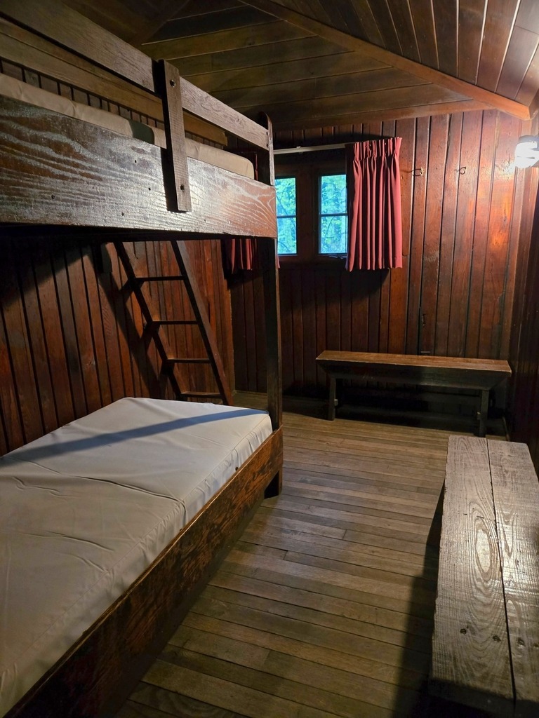
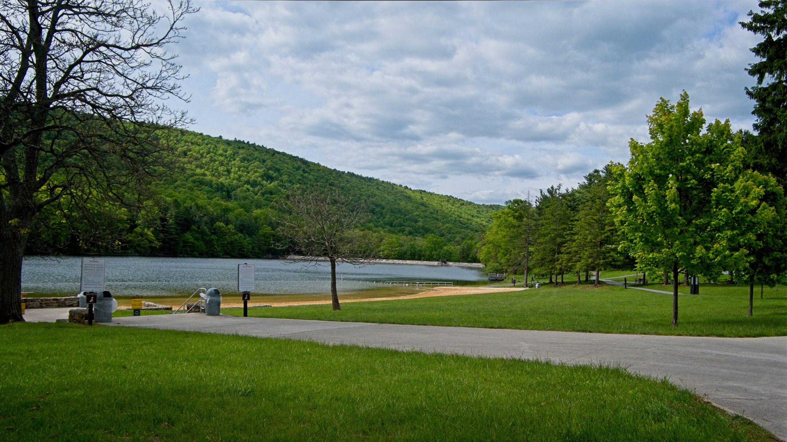
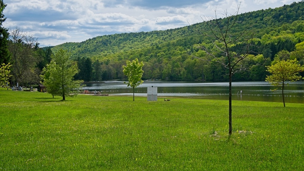
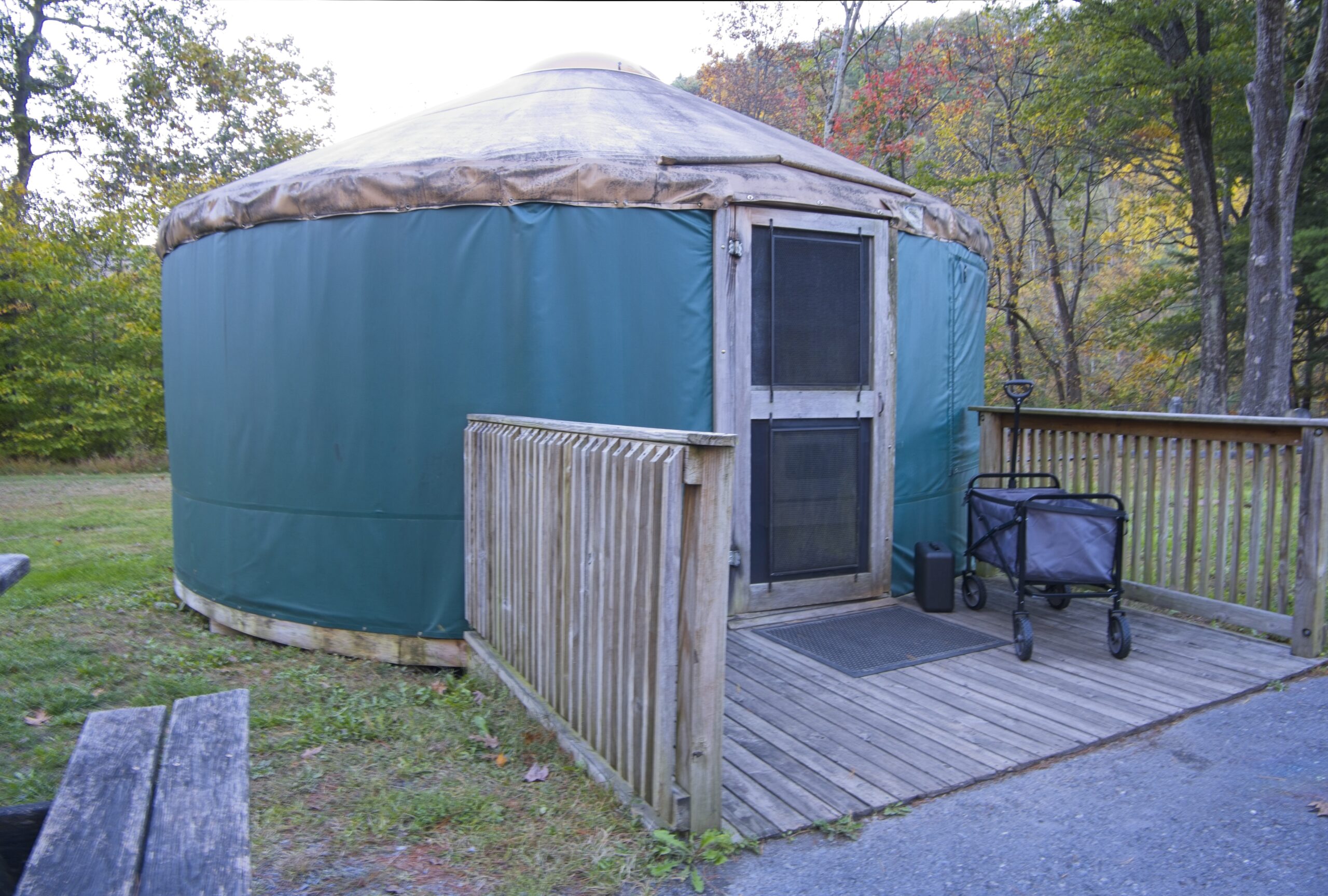
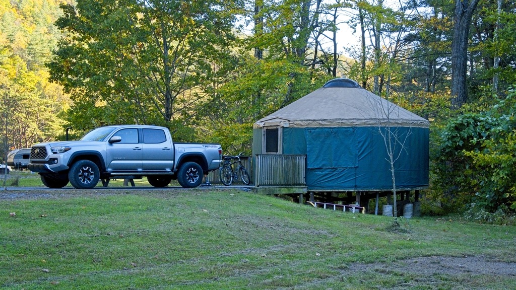
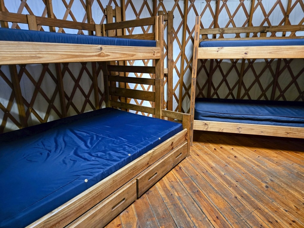
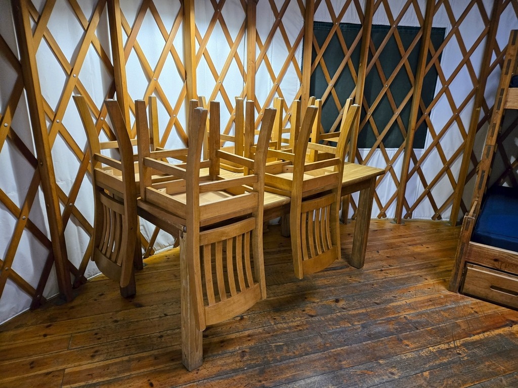
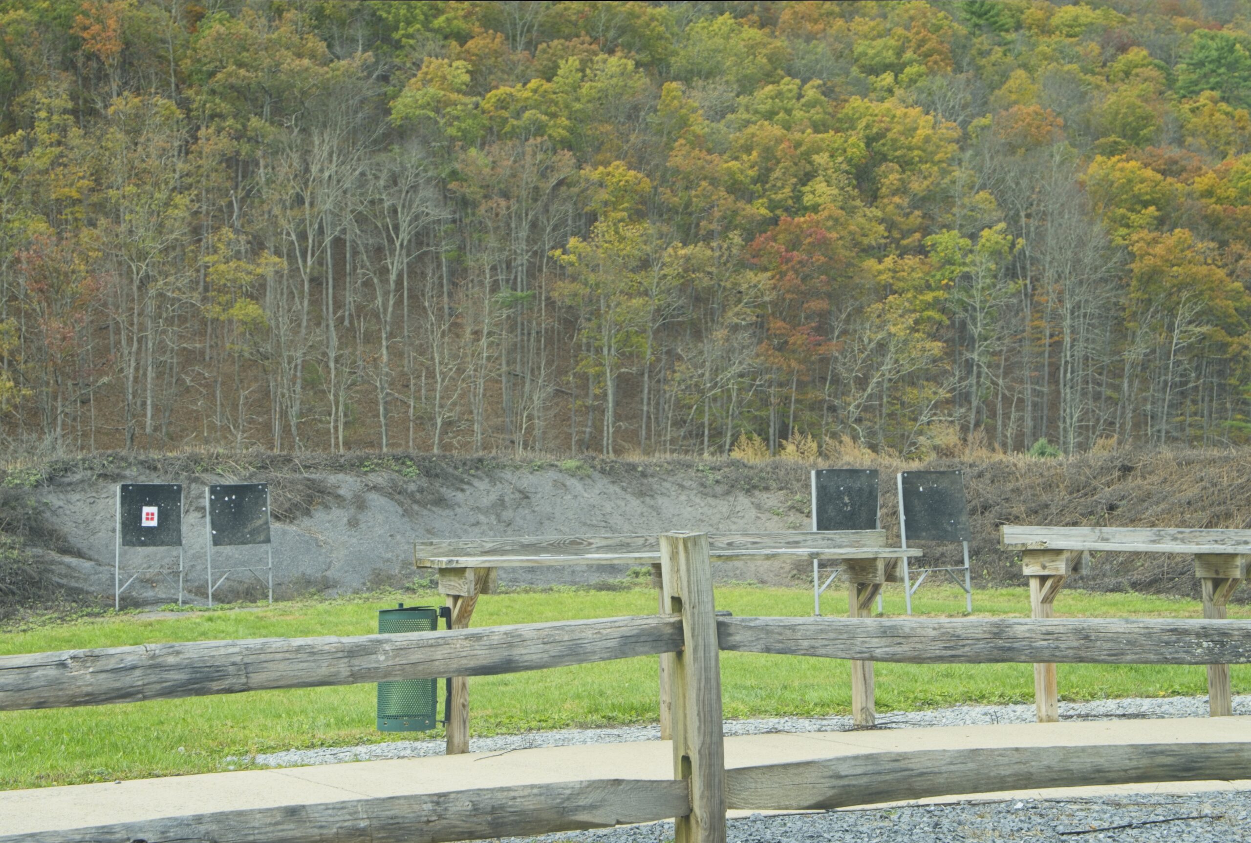
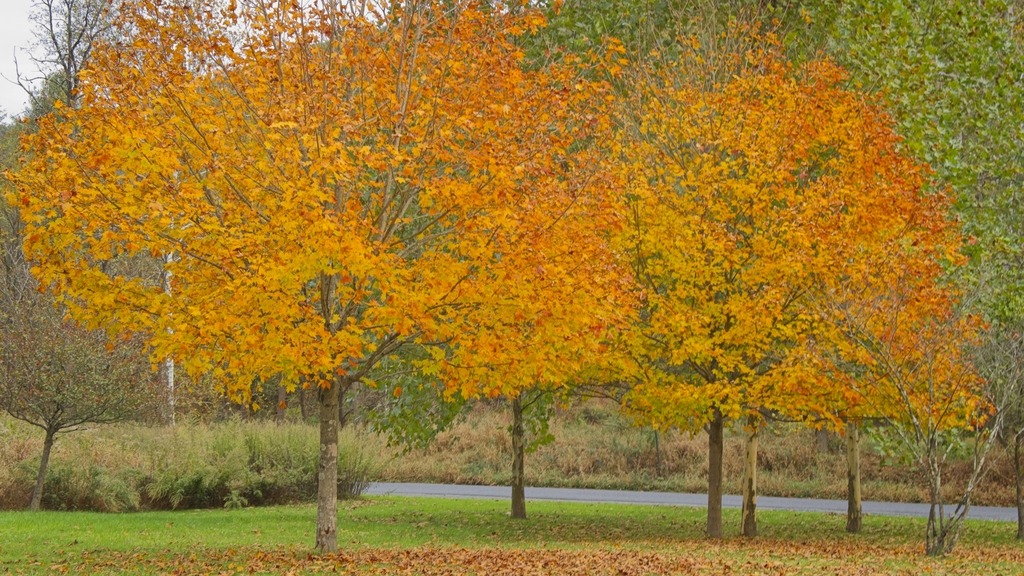
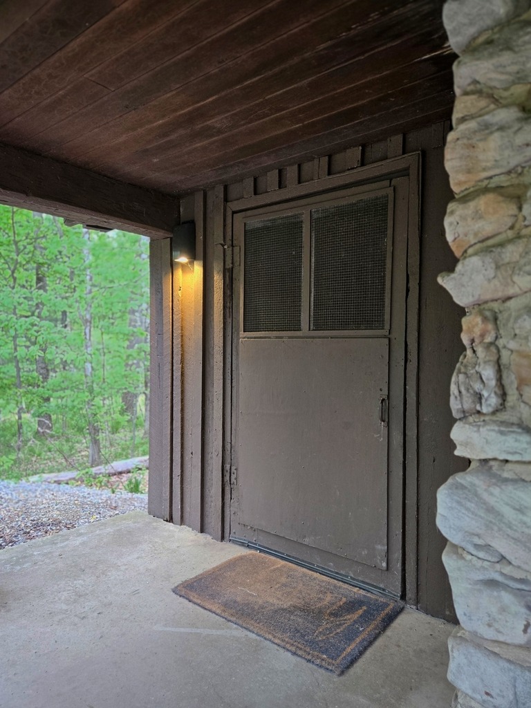
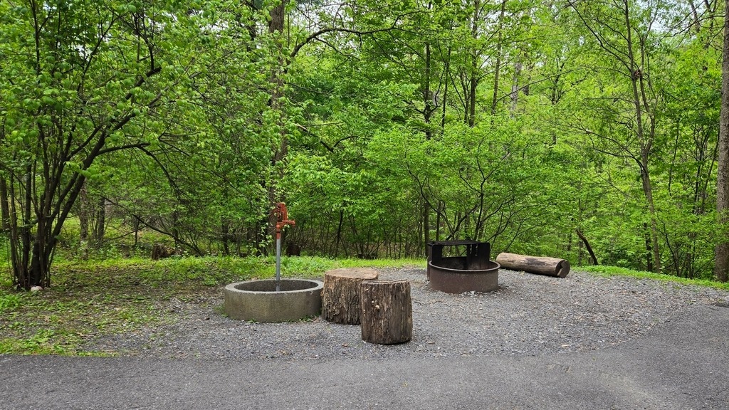
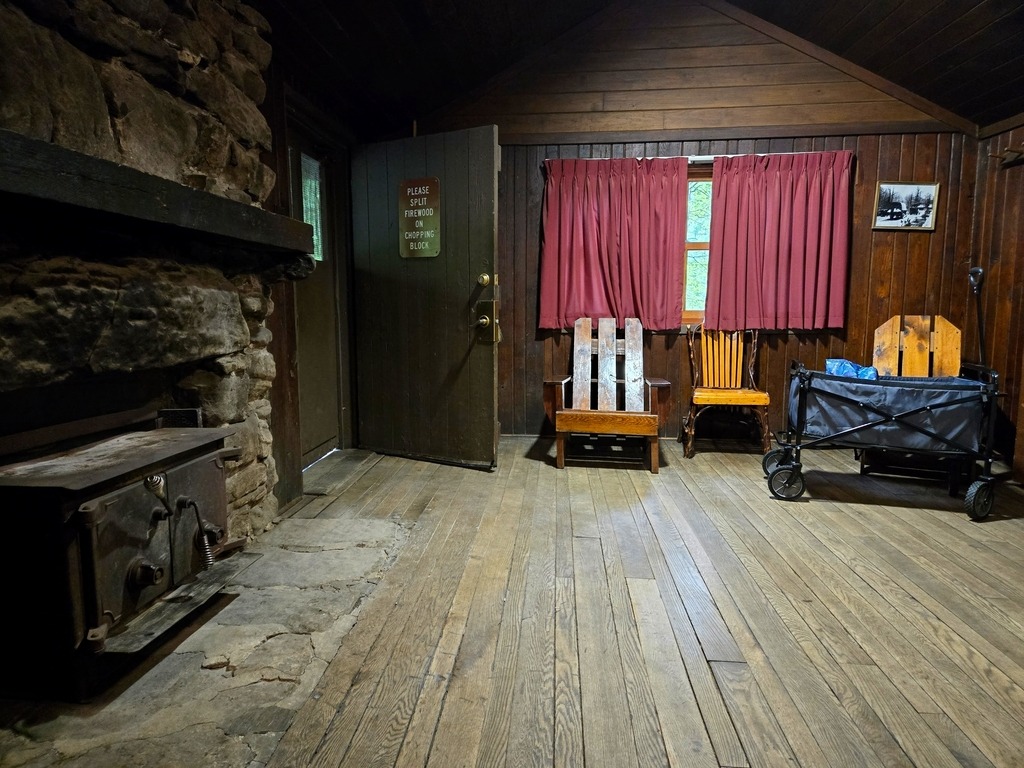
Cowans Gap State Park has 201 campsites in two loops. The camping area is open from mid-April until mid-December. The campsites can accommodate campers from a small tent to a large motor home, with seven walk-in tent sites are adjacent to Camping Area B. There is also a rutic cabin colony, built by the CCC. Here is a look at one of the cabins I stayed in.
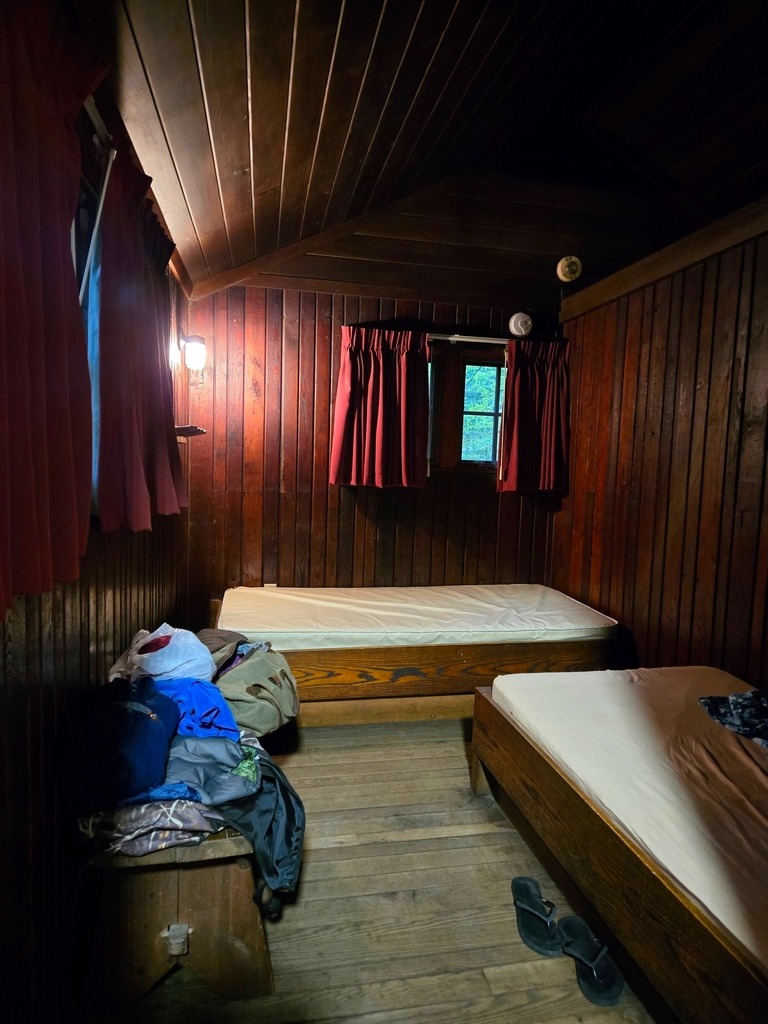
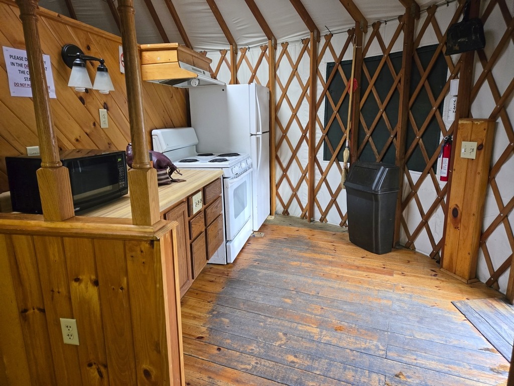
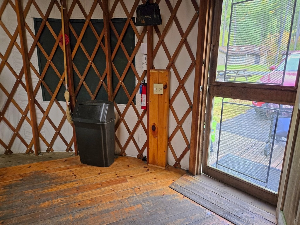
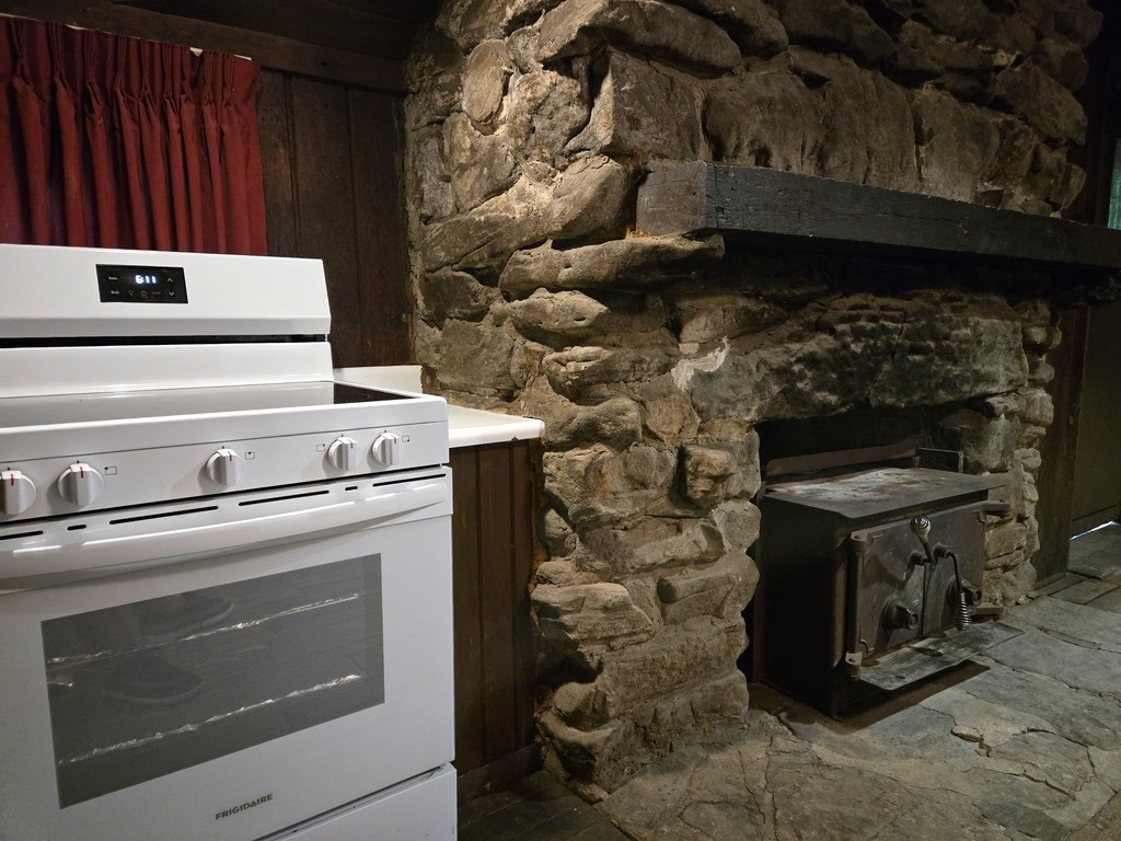
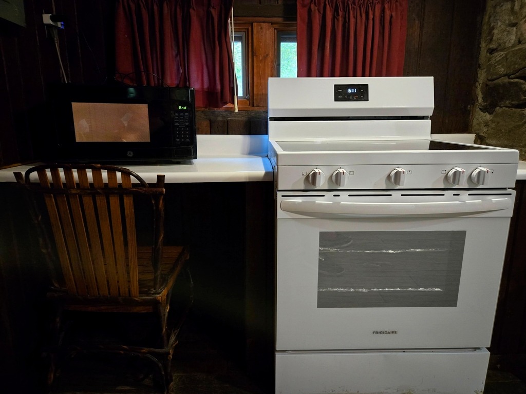
The fireplace, mantel, some of the chairs, benches and bunks seem to be original, in addition to the outer structure of the cabin. Forgive the sight of my stuff strewn around, I forgot to take photos first.
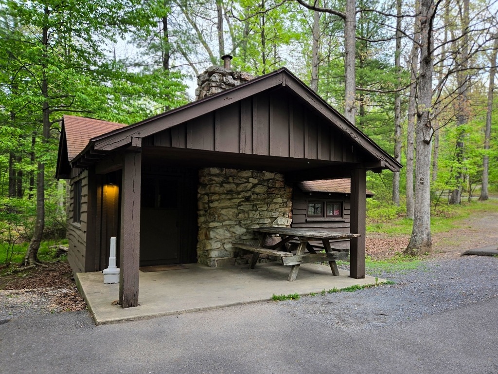
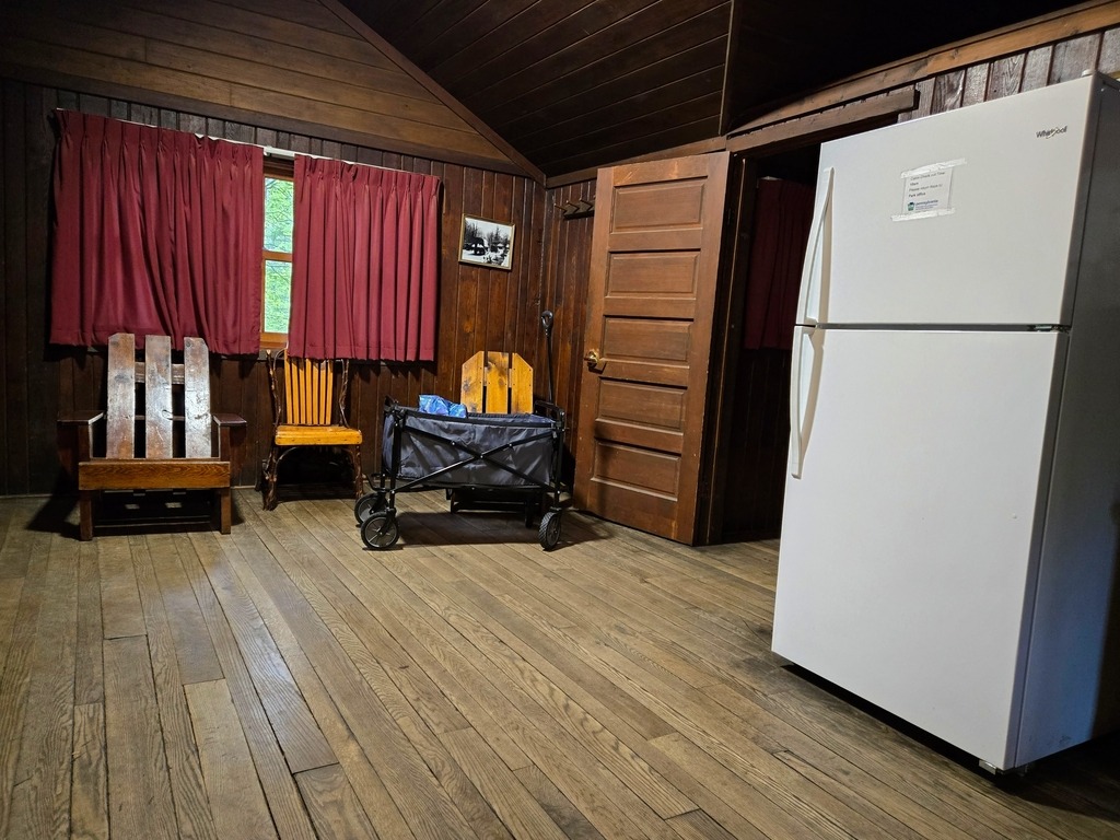
This cabin had an interior wall separating the sleeping area into two rooms.