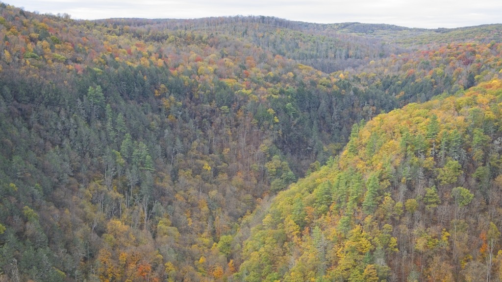
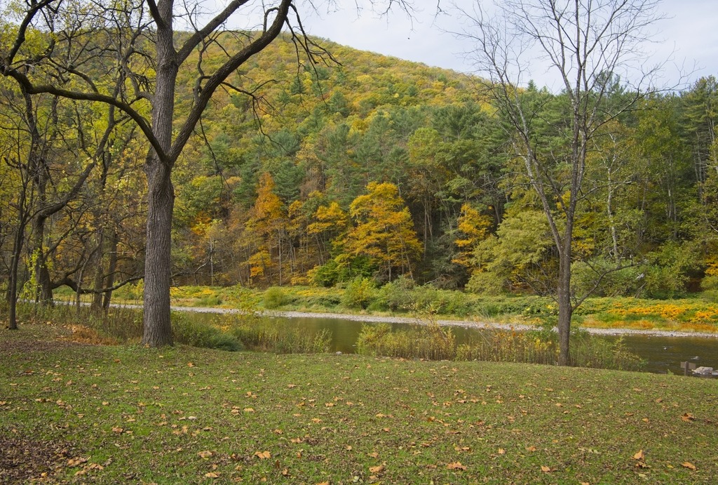
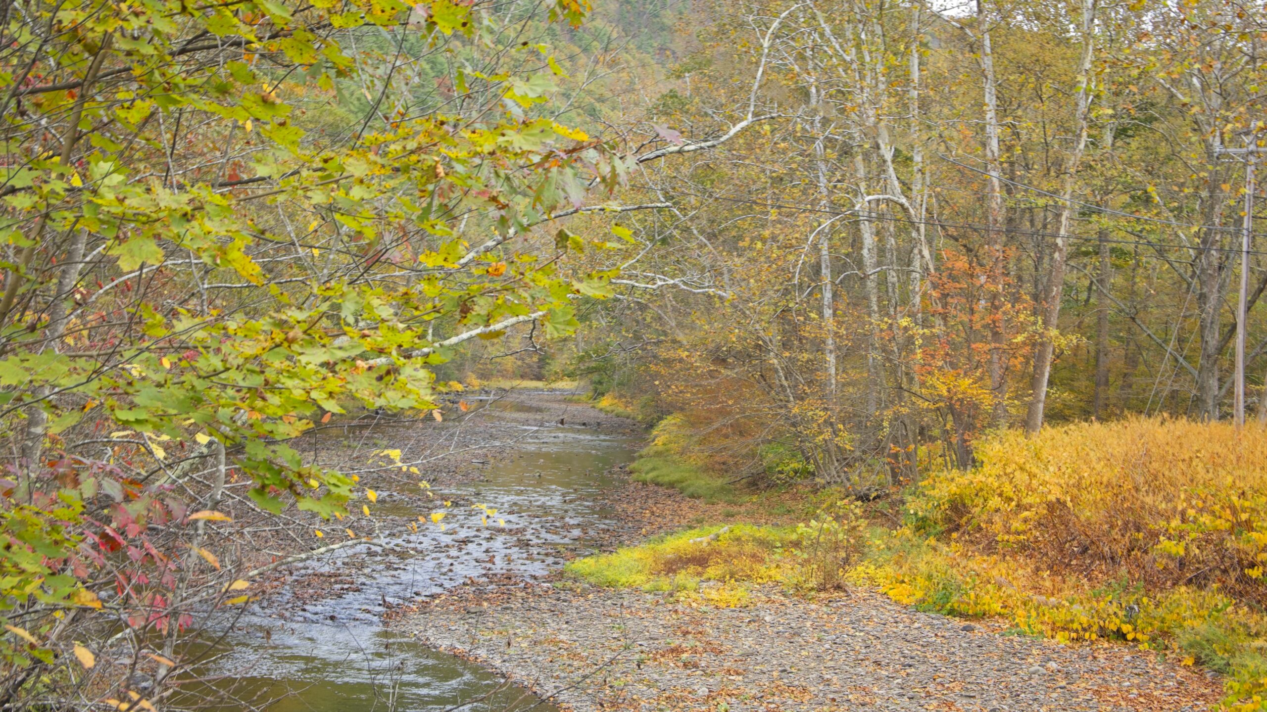
Pine Creek Gorge is a 47-mile (76 km) gorge carved into the Allegheny Plateau by Pine Creek in north-central Pennsylvania. It sits in about 160,000 acres (650 km2) of the Tioga State Forest. The gorge begins south of Ansonia, near Wellsboro, along U.S. Route 6 and continues south. Its deepest point is 1,450 feet (440 m) at Waterville, near the southern end.
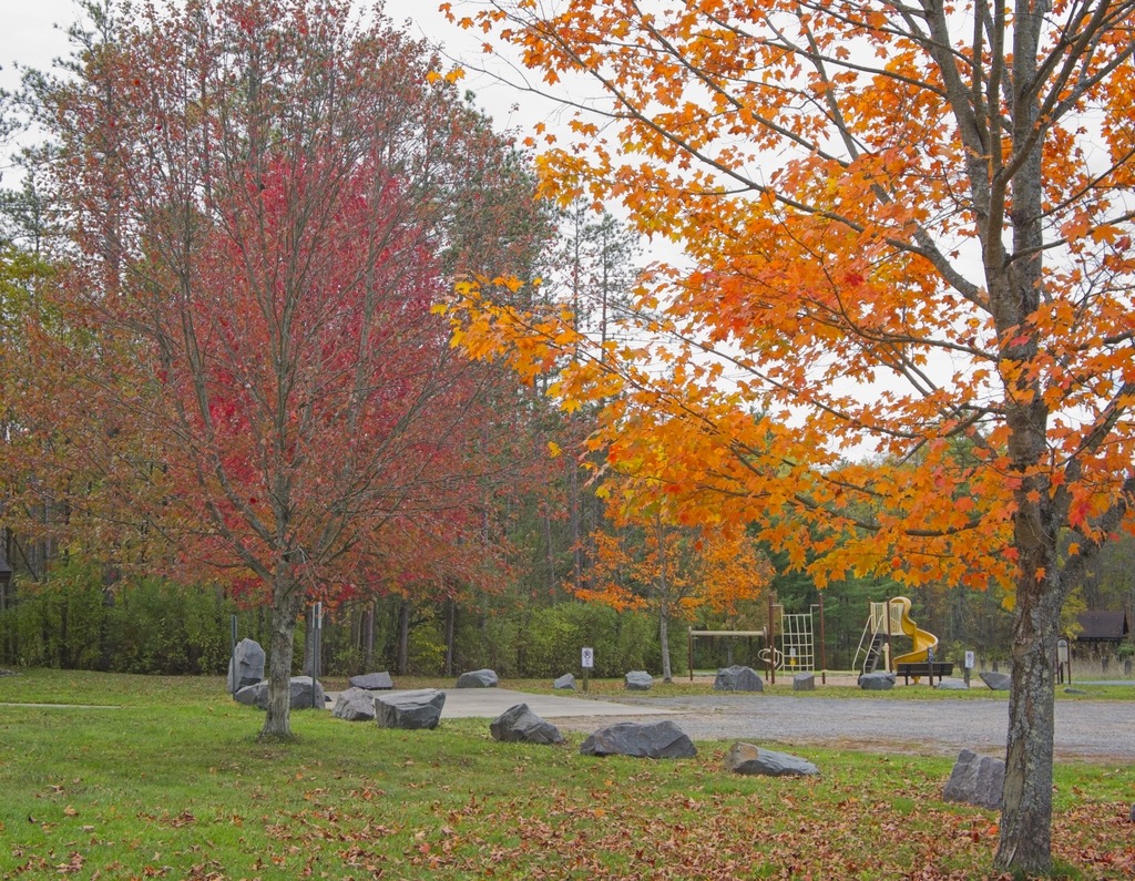
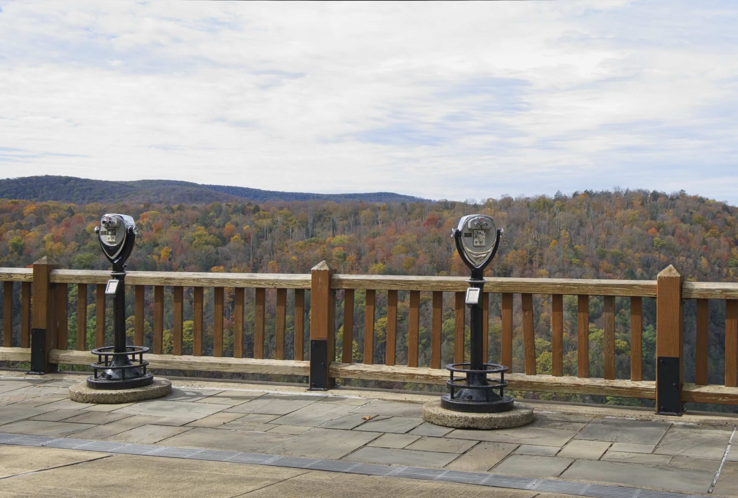
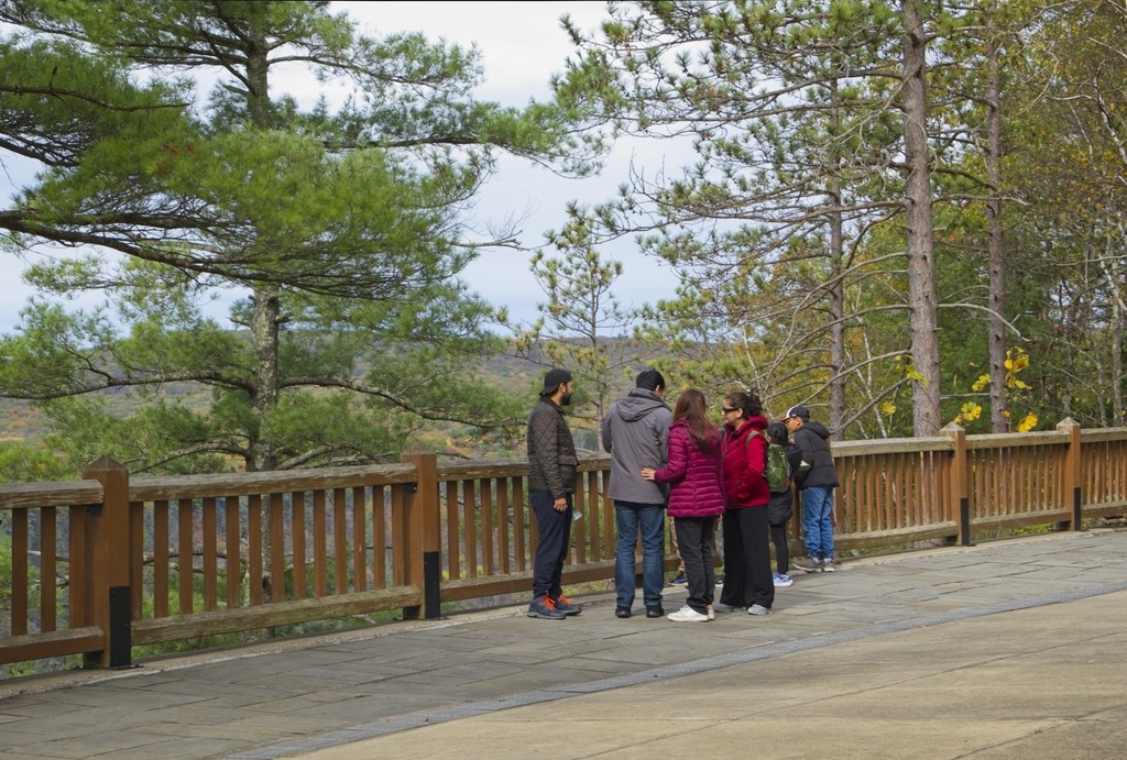
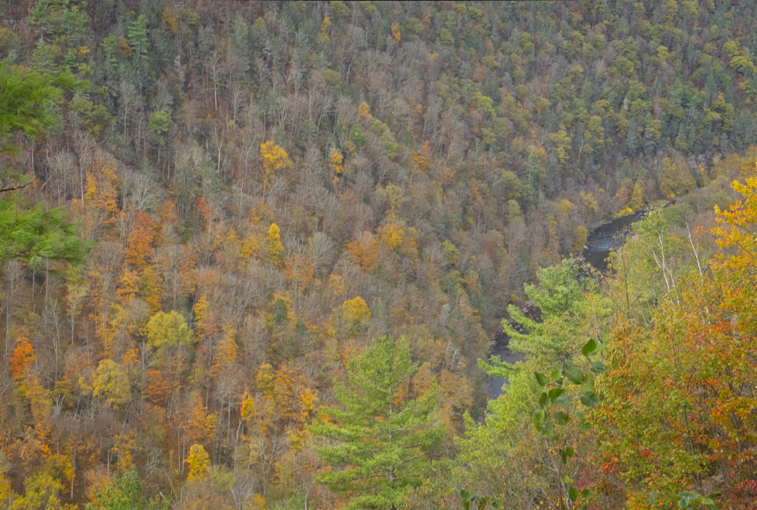
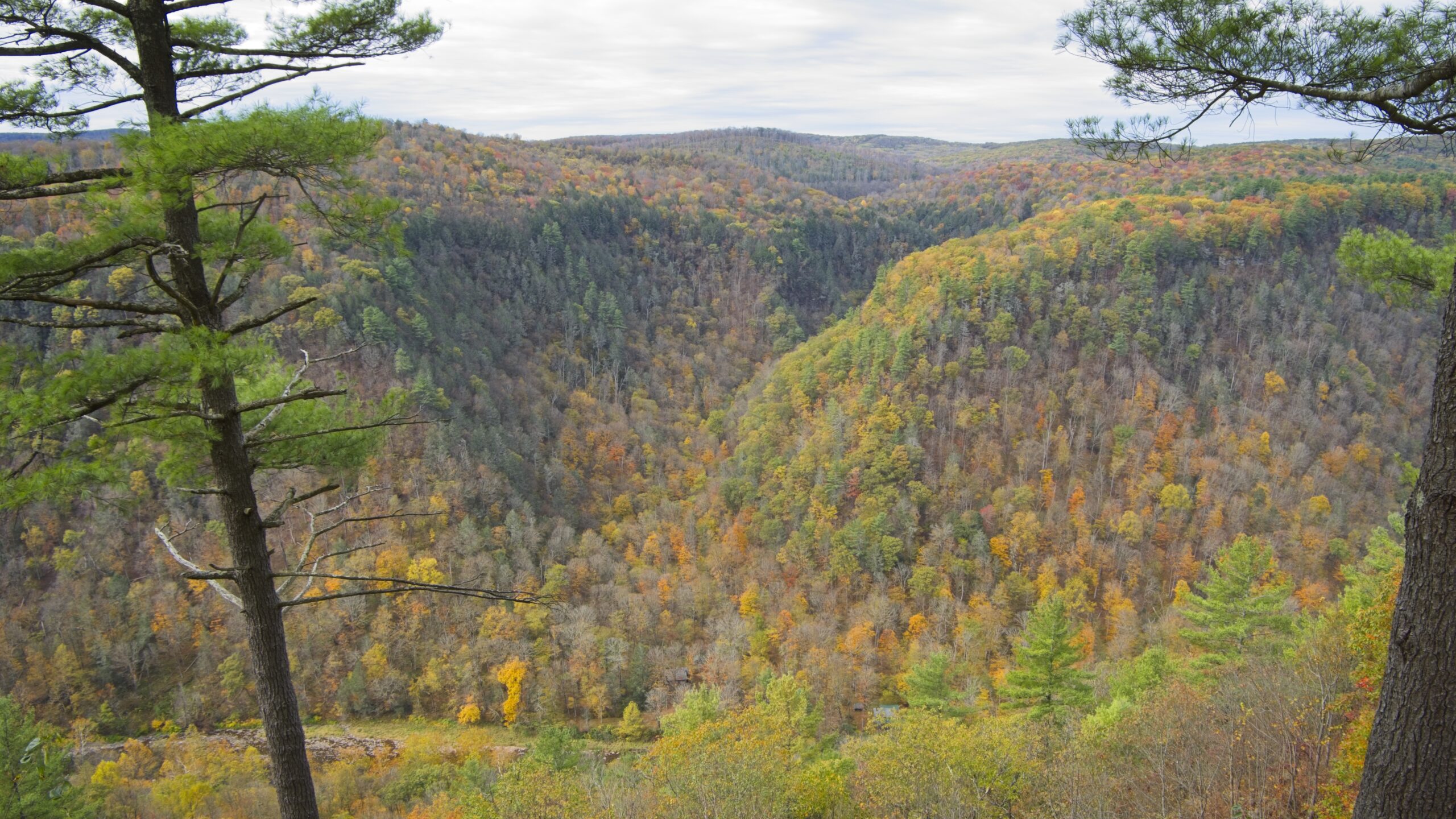
The Gorge has the unfortunate nickname of “The Grand Canyon of Pennsylvania.” Not only is this a wild exaggeration, but the area’s unique beauty deserves to stand on its own and does not require comparison. The area most associated with the Gorge is near Leonard Harrison and Colton Point State Parks, where it is more than 800 feet (240 m) deep and the distance rim-to-rim is about 4,000 feet (1,200 m). I visited Leonard Harrison in October.
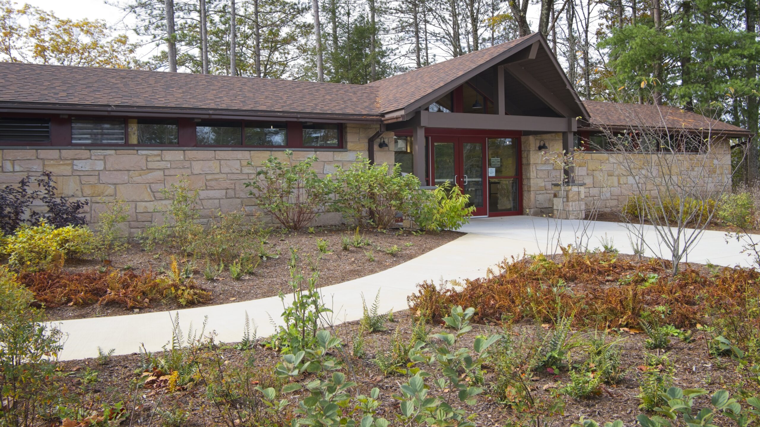
The Visitor’s CenterThe view down into the Gorge.That’s Pine Creek down there.
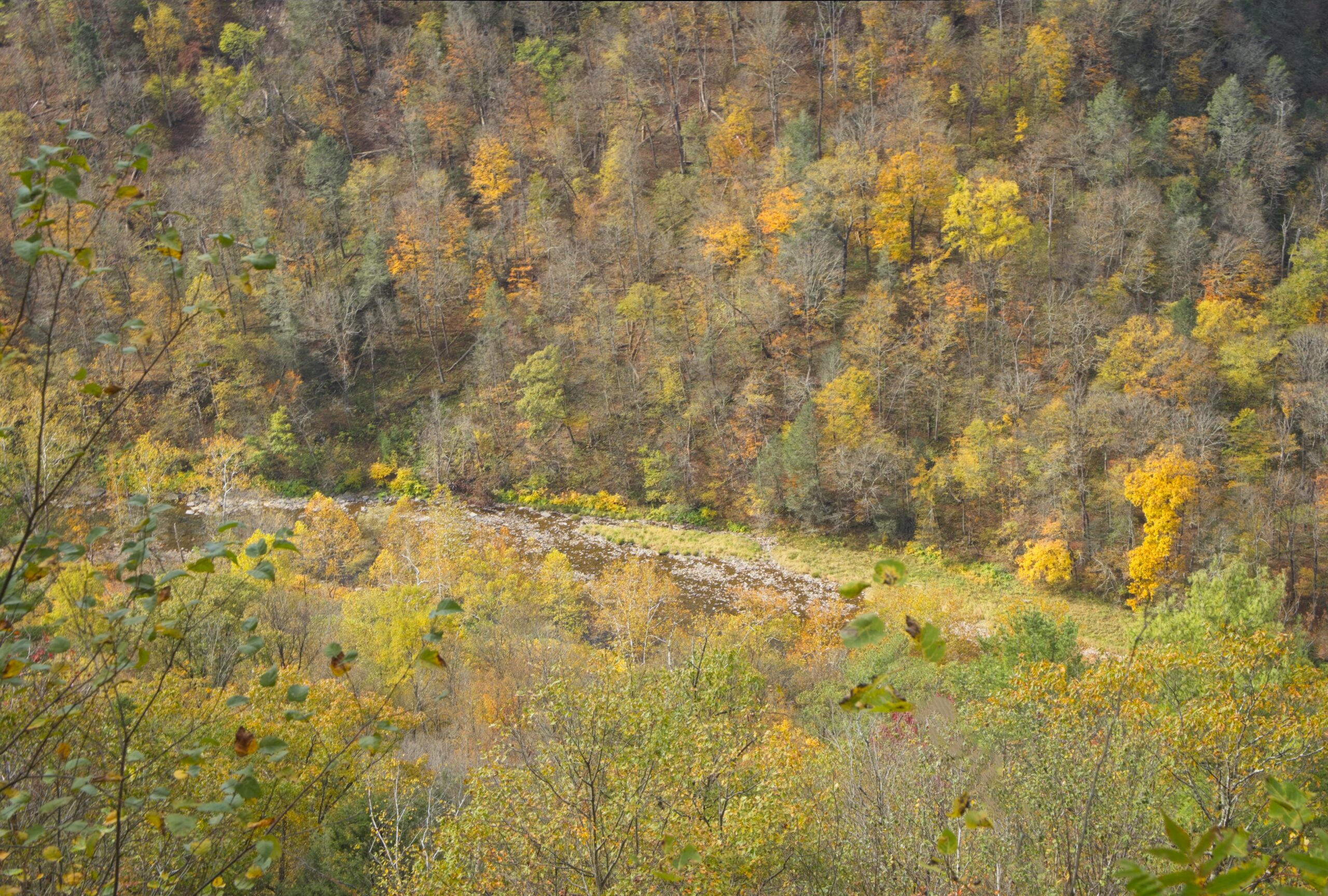
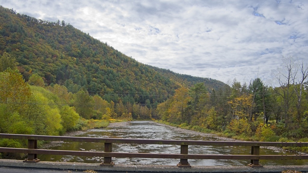
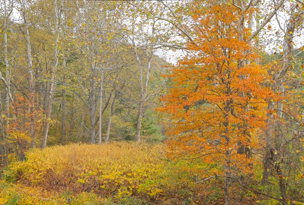
Near Waterville, Route 414 turns north up the Pine Creek valley. The southern part of this valley feels wider and has more towns along the banks of the stream. Most of this area is still in Lycoming County until just south of Blackwell. The Pine Creek area was the site of major logging activity from the late 18th through early 20th century and is now a major hub for recreation. Much of the now second-growth forest is protected by a network of parks, state game lands and state forest,
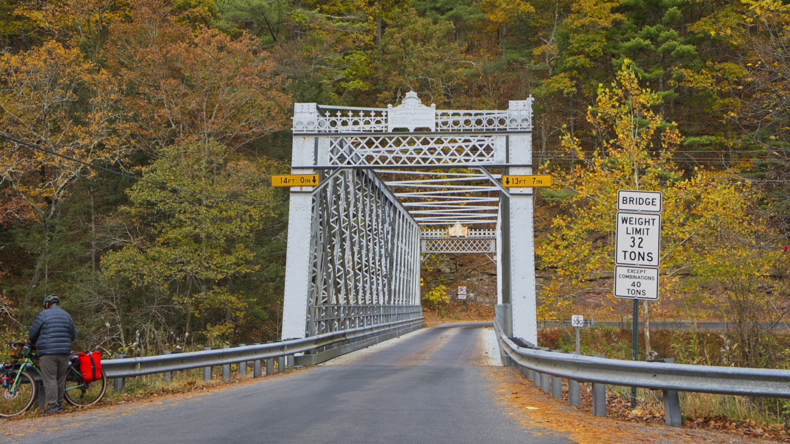
The aptly named “Bottom Lodge.”There are several points to launch small boats into Pine Creek and access the Rail Trail.From the bridge at Slate RunHilborn Iron Bridge
The town of Wateville sits near the confluence of Pine and Little Pine Creeks in Lycoming County. It is a popular jumping off point for exploring the Pine Creek Valley and the Pine Creek Rail Trail, with a restaurant, bar, hotel and a convenience store with a gas station.
The Pine Creek Rail Trail and one of its iron bridges.This home looks like a former Church and is a popular photo subject.The Waterville Hotel still provides lodging and has a restaurant and bar.
Up Route 44 from the town is the Tiadaghton Forest District Office. It is a large building with exhibits and the grounds are scenic. Though most of Tiadaghton State Forest’s 146,539 acres reside in Lycoming County, some tracts extend into Tioga County, Potter County, Clinton County and Union County. Tiadaghton’s forest features high-country flats bisected by clean, fast-moving mountain streams, including Pine Creek and Slate Run. It is one of eight state forests located in the Pennsylvania Wilds region.
Here are my photos from this year’s Roaring Creek Drive Through in Weiser State Forest in Columbia County in October. It was a good day for Autumn color.
While in the area, I also stopped to finally photograph the covered bridge at Knoebels Grove and the Parr’s Mill Covered Bridge, which was being renovated the last time I stopped by.
Knoebels Grove Covered BridgeParr’s Mill Covered Bridge
Travelling east over Route 154, turn north on Rock Run Road. You will soon come down to the Loyalsock Creek where you can cross via this interesting bridge.
I had to sneak the Sonestown covered bridge in here as it was on my route that day. The Sonestown Covered Bridge is a covered bridge over Muncy Creek in Davidson Township, Sullivan County built around 1850. It is 110 ft (34 m) long and was placed on the National Register of Historic Places (NRHP) in 1980. It is also known as the Davidson Covered Bridge. It was built to provide access to a grist mill which operated until the early 20th century.
The Sonestown bridge is a Burr arch truss type with a load-bearing arch sandwiching multiple vertical king posts for strength and rigidity. The bridge construction is cruder than the other two surviving covered bridges in Sullivan County, with each Burr arch formed from six straight beams set at angles instead of a smooth curve. The bridge was repaired in 1969 and after flood damage in 1996, 2005, 2013, and 2020. It was also restored in 2001.
The Sullivan County courthouse in Laporte, the county seat.I like the cardinal decor on this house in Laporte.Into the Loyalsock State Forest, we come to Dry Run Falls.There is a picnic area along Dry Run Road.As well as a Ranger Station.Best sign in the Forest. I’ve heard Shanerburg was a logging camp. If anyone knows anything about it, please comment.
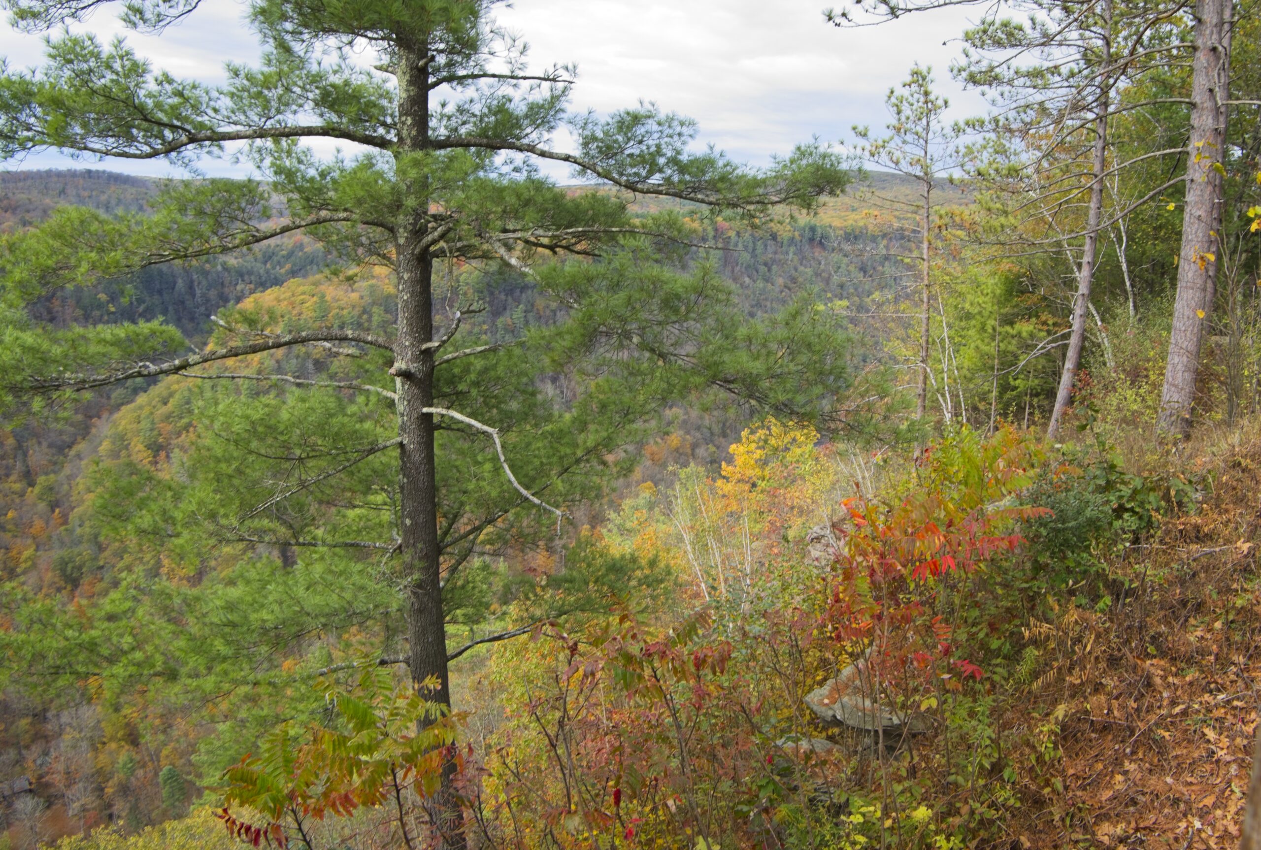
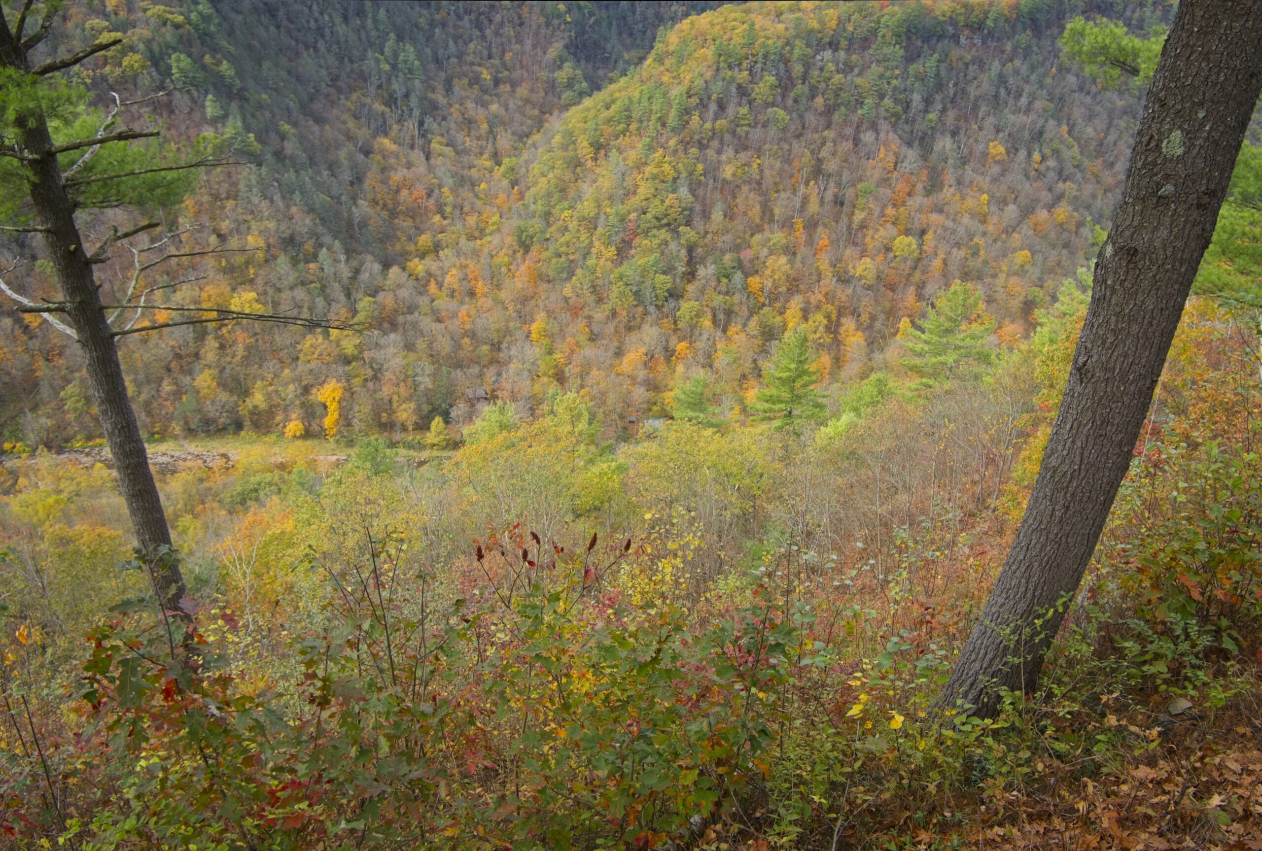
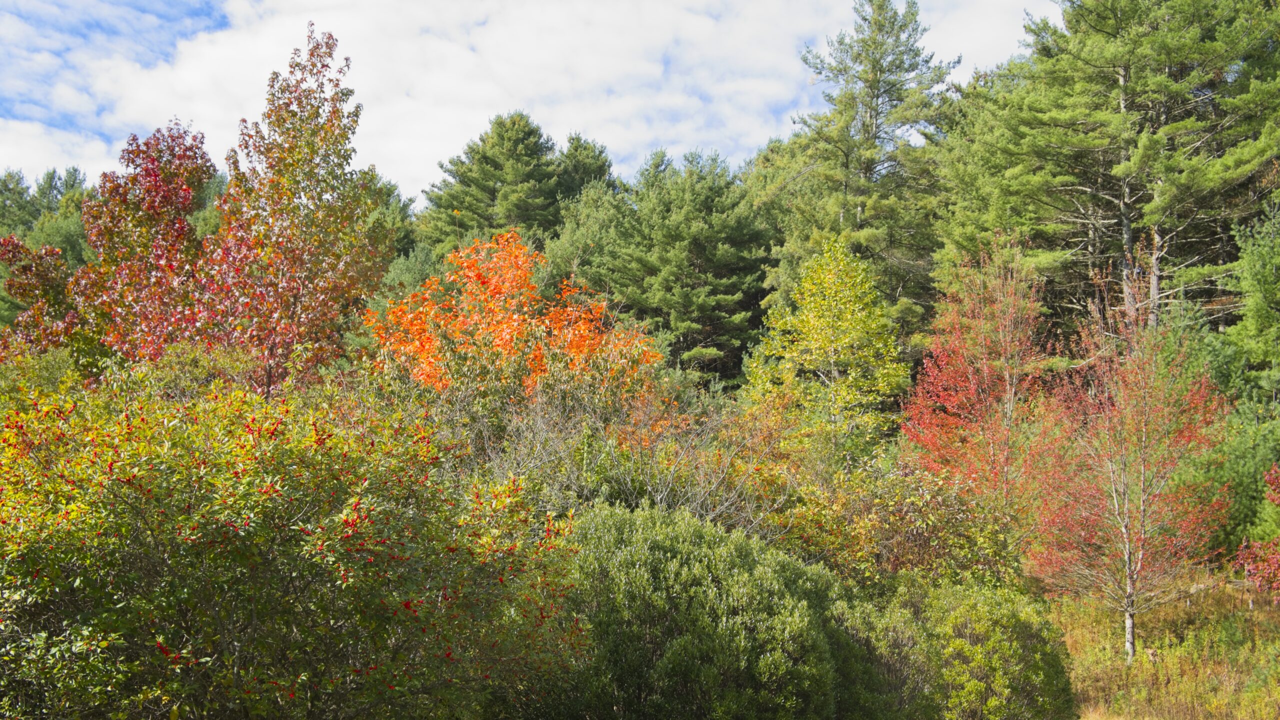
Worlds End State Park is situated in a narrow S-shaped valley of the Loyalsock Creek, just south of Forksville, Sullivan County. Surrounded by the Loyalsock State Forest, the 780-acre park offers visitors diverse recreational opportunities, such as hiking, fishing, camping, wildlife viewing and hunting, within a pristine natural environment. As evidenced by the Loyalsock Canyon Vista below, the rugged natural beauty of the Endless Mountains landscape provides many photo opportunities.
My cabin on this trip. It looks like another CCC creation.The neighbors.The other neighbors.I love this snack shop. It’s a great thing to have in Sullivan County.A sneak peak at the beach (which was closed) along the Loyalsock Creek. The water here is always “refreshing.”Another view from the Vista.A taxidermy paradise at the park office.A rare cinnamon black bear.This is what fisher actually looks like. If I had a dollar for every mink, weasel or whatever that someone thinks is a fisher …This bobcat looks surprised to be in his present condition,
Tunkhannock is the county seat of Wyoming County, 31 miles (50 km) northwest of Wilkes-Barre. In the past, lumbering was carried on extensively in the area and served as the economic base. Today, many residents are employed by the Procter & Gamble plant in nearby Washington Township. As of the 2020 census, the borough population was 1,766.
The name Tunkhannock is derived from the Minsi-Len’api term Ptuk’hanna’unk, which means “Bend-in-river-place”, which is to the town’s west, upstream at the radical bend called “The Neck” on the Susquehanna River. The historic district was added the National Register of Historic Places in 2005.
The town has some lovely Victorian style houses.The rhododendron were in full bloom.The Wyoming County Courthouse.I love these small town movie theaters.Some store fronts along Route 6.
Nearby Miller Mountain was recently reacquired by the state after being in the hands of a ski area developer for quite a few years. It is one of the more recognizable peaks in the Endless Mountains region. It is a “stand alone” peak, which is separated from the remainder of the Allegheny Plateau. In 2023, Miller Mountain was purchased by the state, and added to the Pinchot State Forest.
The Susquehanna River flows past the mountain where the slopes rise to over 1,600 feet (490 m) above the riverbanks and the town of Tunkhannock. It is believed to be the last undeveloped mountain of its size in the Commonwealth that had been privately owned.
Mount Davis (3,213 ft or 979 m) is the highest point in Pennsylvania. Located in the 5,685-acre (2,301 ha) Forbes State Forest near the hamlet of Markleton in Elk Lick Township, Somerset County, it lies on a gentle crest of a 30-mile (50 km) ridge line extending from central Somerset County southward into Garrett County, Maryland. The high point was named for John Nelson Davis, an early settler, American Civil War veteran, surveyor, and naturalist known for his studies of the mountain’s flora and fauna. During the Civil War, Davis served in Company E, 102nd Pennsylvania Infantry.
The summit of Mt. Davis may be ascended by car or a number of hiking trails. Its surroundings are noted for their patterns of unusual circular stone formed by periglacial action. A metal observation tower with a relief map of the region stands near the true high point.
I found this location surprising. It was not what I was picturing in my mind for many years. The area immediately surrounding the summit is state forest, however you can be a five minute drive from the summit and still be going through farmland, which doesn’t make the peak seem that prominent or that high. I guess the surrounding area is at a pretty high elevation.
Mt. Davis lake from the summit.This is actually the best view, rather than the fire tower.This state forest facility is near the remnants of an old CCC camp.Looks like an old CCC cabin.This young man waved hello as he passed. I found quite a few Amish farms in the area.
I left Austin and proceeded south to Sizerville State Park. This park reminds me of Hyner Run or Reeds Gap. It is a quiet park with a small campground and a pool. Alas, the pool at Reeds Gap is gone, but this type of park remains one of my favorites. The 368 acre Sizerville is surrounded by Elk State Forest and near large blocks of additional state forest land. If it wasn’t so far, I’d like to come back here.
The drive up to Salt Run Vista was worth it. Yes, someone must drive up here to mow this.Salt Run VistaTrees on the way down the mountain to Sizerville.A bonus vista – the narrower view at Crooked Run Vista.
I then made the long journey to Kettle Creek State Park. In retrospect, I should have done this the day before as continuation of my trip to Ole Bull, but now I know better. The park consists of 1,793 acres along Kettle Creek in western Clinton County. The park is in a valley surrounded by mountainous terrain and wilderness. Many of the existing recreational facilities arose from a joint flood control project developed by the U.S. Army Corps of Engineers and the former Pennsylvania Department of Environmental Resources. The park offers camping, boating, hunting, fishing, hiking, and other activities.
Another dam.A dam with a flag.Looking down over the edge to the lake. It’s further than it looks.The valley with the lake is pretty.A family paddle.
I thought I might be able to save some time getting to Sinnemahoning State Park by driving up to Kettle Creek Vista then cutting across the ridge and down the other side. Of course there were no roads down into the other valley, because there was another lake, with (you guessed it) another dam.
Kettle Creek Vista.
I made the trek back down the valley to highway north to Sinnemahoning State Park. The park, located near the center of the Pennsylvania Wilds’ scenic steep valleys region, encompasses 1,910 acres of beautiful scenery and outstanding wildlife habitat. Situated in Cameron and Potter counties, the park is nestled between the green-shouldered ridges of Pennsylvania’s Elk State Forest and Susquehannock State Forest. The park is long and narrow and includes lands on both sides of First Fork Sinnemahoning Creek — a major tributary to the Sinnemahoning Creek. At the southern end of the park, a 145-acre reservoir created by the George B. Stevenson dam provides fishing and boating opportunities. There is a campground and excellent wildlife viewing opportunities, including elk, bear, and large variety of birds.
Another valley with another dam.Park office and wildlife center.A look inside the Wildlife Center.
The drive north on Route 44 continues with a visit to Patterson State Park. This park sits directly on Route 44 and provides picnicking and a few camping sites. The Susquehanock Trail System passes right near the park, which acts as a trailhead. The park would also be a good overnight camp spot for those doing the entire loop.
One of the pavilions.
Next up was one of the most confounding parks in the entire system – Prouty Place State Park. The five-acre Prouty Place State Park is five miles southwest of PA 44 along Long Toe Road. This remote park offers access to hunting, fishing, and hiking within the surrounding Susquehannock State Forest. There is a grassy area and gazebo with a nonoperational water pump and a notice board. The park feels very remote, yet only a short distance down Long Toe Road were a few very substantial houses a large man-made pond.
Prouty Place was designated a Class “B” campground by the Pennsylvania Department of Forestry from 1922 to 1925. During the Great Depression, the Civilian Conservation Corps built a picnic area and campsites between 1935 and 1938. Prouty Place State Park officially became part of the Pennsylvania State Parks system in 1957. The park is a short distance from the Susquehannock Trail System, and is connected to it by a link trail. Prouty Place is tied for second smallest state park in Pennsylvania with Upper Pine Bottom State Park (which we visited in our last installment). Only Sand Bridge State Park (another picnic area) is smaller.
The turn off on Long Toe Road was quite sharp.Here it is.A rare contrast in greens on this hillside.Back along Route 44, we have Long Toe vista.