• McCalls Dam Road Vista in October

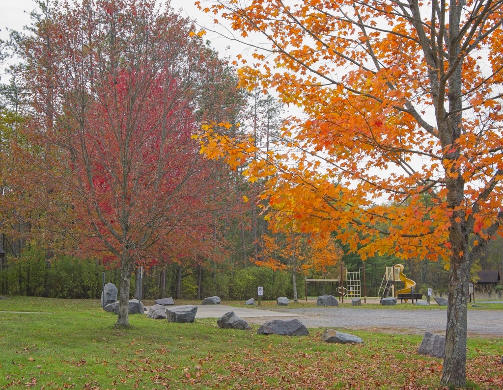
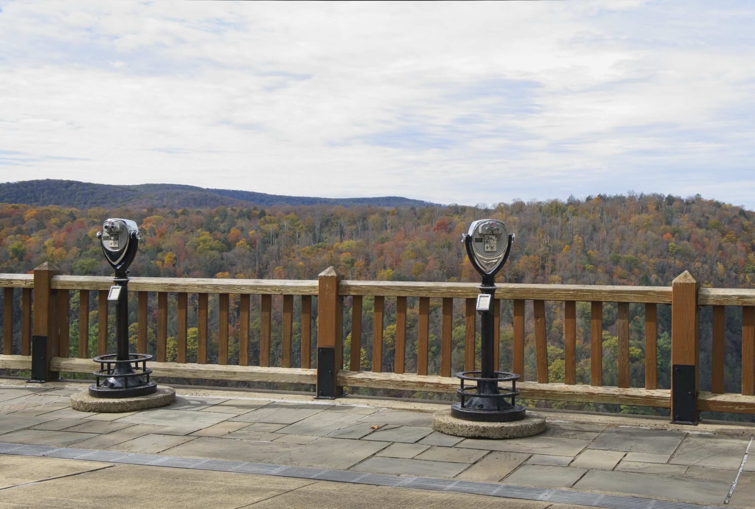
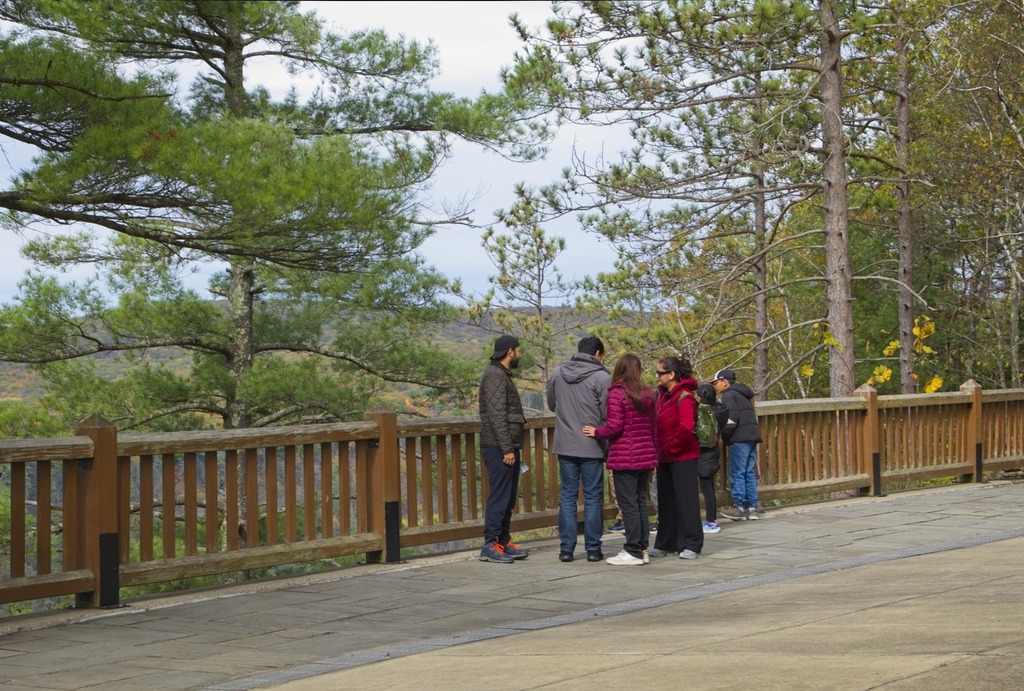
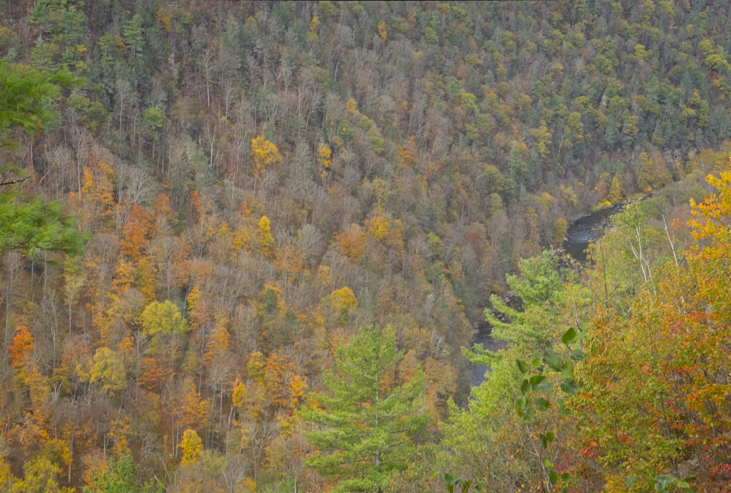
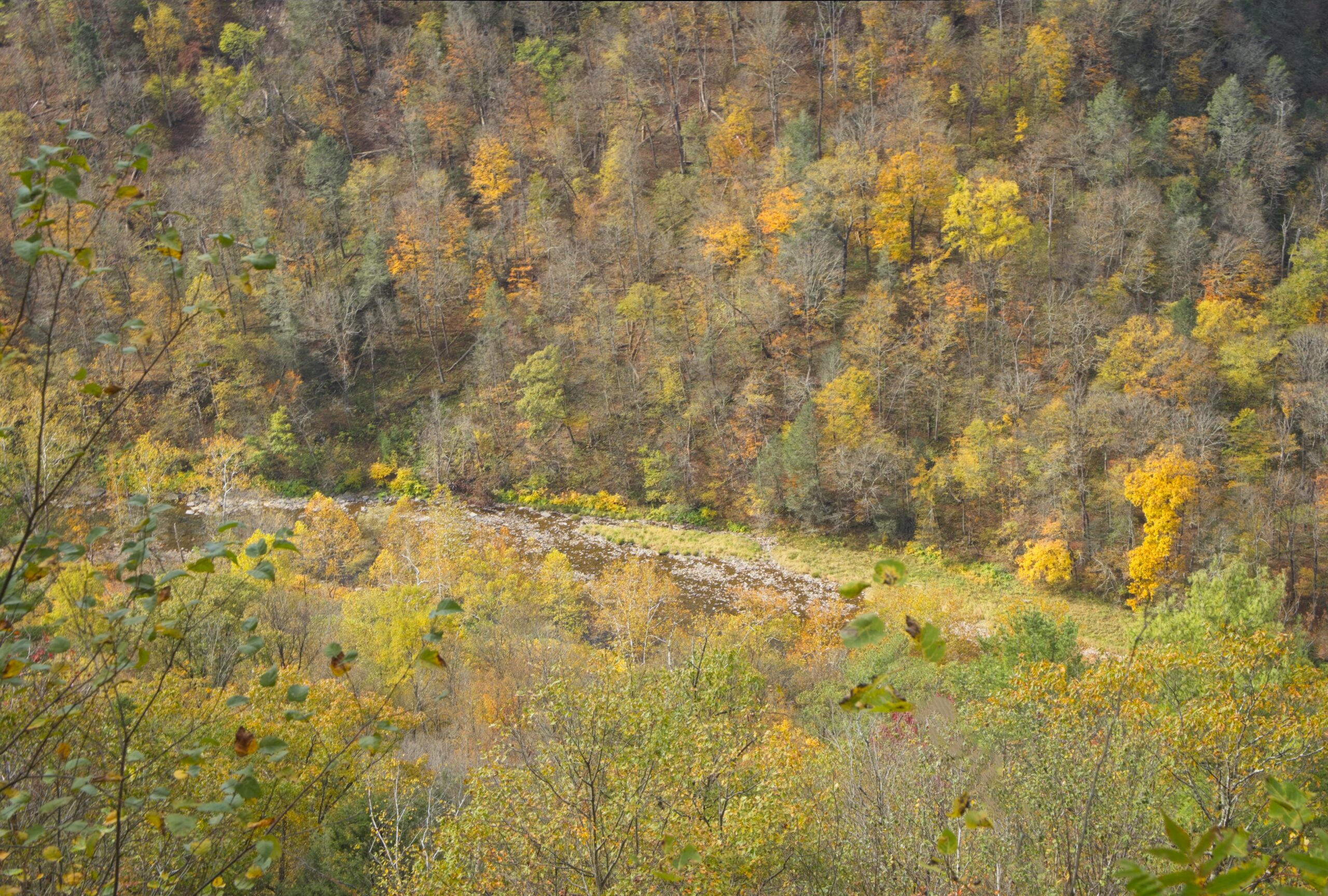
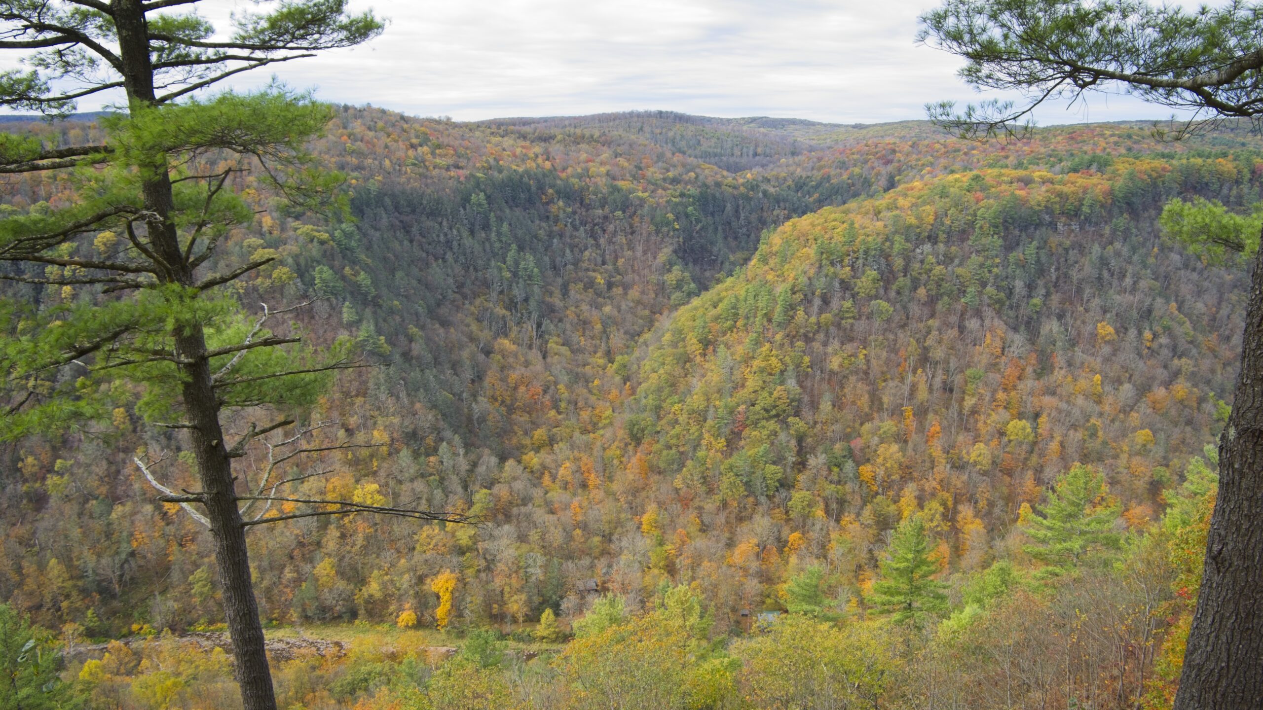
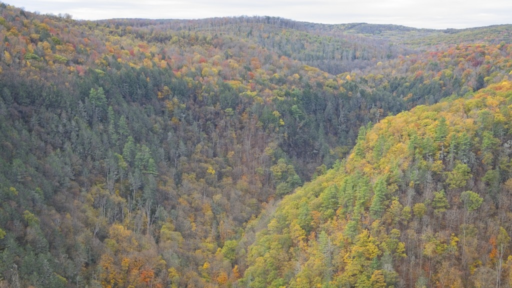
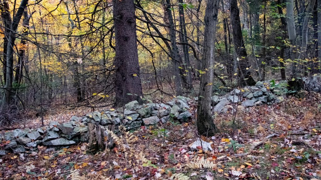
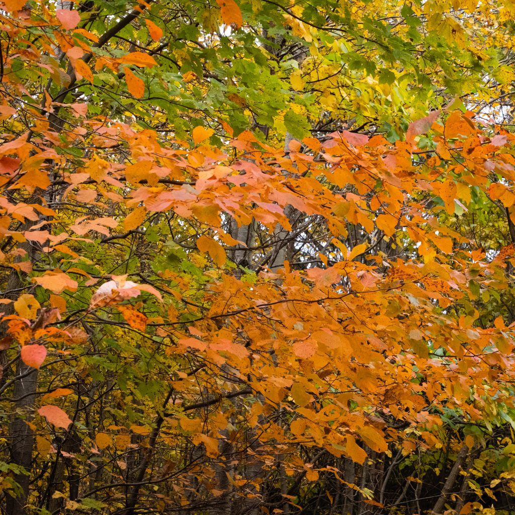
    The scenic vista on McCalls Dam Road in Clinton County provided a good overview of the area’s fall foliage. I felt this year’s foliage was not spectacular, but still nice, perhaps due to warm and dry conditions in the preceding weeks. This vista sits above Raymond B. Winter State Park, and the road is paved from that park to this location. It is also south of McCalls Dam State Park on the same road. Confusingly, there is no longer a dam at McCalls Dam. The small park is adjacent to White Deer Creek, and the surrounding forest contains pines, hemlocks, maples, and oaks. There is a small picnic area with picnic tables and and a bench next to the creek. The park also provides access to hunting, fishing and hiking.

    Here is an actual dam at Raymond B. Winter State Park.

    A view of the lake and the beach.

  • It’s Not a Grand Canyon

    Pine Creek Gorge is a 47-mile (76 km) gorge carved into the Allegheny Plateau by Pine Creek in north-central Pennsylvania. It sits in about 160,000 acres (650 km2) of the Tioga State Forest. The gorge begins south of Ansonia, near Wellsboro, along U.S. Route 6 and continues south. Its deepest point is 1,450 feet (440 m) at Waterville, near the southern end.

    The Gorge has the unfortunate nickname of “The Grand Canyon of Pennsylvania.” Not only is this a wild exaggeration, but the area’s unique beauty deserves to stand on its own and does not require comparison. The area most associated with the Gorge is near Leonard Harrison and Colton Point State Parks, where it is more than 800 feet (240 m) deep and the distance rim-to-rim is about 4,000 feet (1,200 m). I visited Leonard Harrison in October.

    The Visitor’s Center
    The view down into the Gorge.
    That’s Pine Creek down there.
  • At the World’s End

    Worlds End State Park is situated in a narrow S-shaped valley of the Loyalsock Creek, just south of Forksville, Sullivan County. Surrounded by the Loyalsock State Forest, the 780-acre park offers visitors diverse recreational opportunities, such as hiking, fishing, camping, wildlife viewing and hunting, within a pristine natural environment. As evidenced by the Loyalsock Canyon Vista below, the rugged natural beauty of the Endless Mountains landscape provides many photo opportunities.

    My cabin on this trip. It looks like another CCC creation.
    The neighbors.
    The other neighbors.
    I love this snack shop. It’s a great thing to have in Sullivan County.
    A sneak peak at the beach (which was closed) along the Loyalsock Creek. The water here is always “refreshing.”
    Another view from the Vista.
    A taxidermy paradise at the park office.
    A rare cinnamon black bear.
    This is what fisher actually looks like. If I had a dollar for every mink, weasel or whatever that someone thinks is a fisher …
    This bobcat looks surprised to be in his present condition,
  • Finishing With Something I Didn’t Expect

    Mount Davis (3,213 ft or 979 m) is the highest point in Pennsylvania. Located in the 5,685-acre (2,301 ha) Forbes State Forest near the hamlet of Markleton in Elk Lick Township, Somerset County, it lies on a gentle crest of a 30-mile (50 km) ridge line extending from central Somerset County southward into Garrett County, Maryland. The high point was named for John Nelson Davis, an early settler, American Civil War veteran, surveyor, and naturalist known for his studies of the mountain’s flora and fauna. During the Civil War, Davis served in Company E, 102nd Pennsylvania Infantry.

    The summit of Mt. Davis may be ascended by car or a number of hiking trails. Its surroundings are noted for their patterns of unusual circular stone formed by periglacial action. A metal observation tower with a relief map of the region stands near the true high point.

    I found this location surprising. It was not what I was picturing in my mind for many years. The area immediately surrounding the summit is state forest, however you can be a five minute drive from the summit and still be going through farmland, which doesn’t make the peak seem that prominent or that high. I guess the surrounding area is at a pretty high elevation.

    Mt. Davis lake from the summit.
    This is actually the best view, rather than the fire tower.
    This state forest facility is near the remnants of an old CCC camp.
    Looks like an old CCC cabin.
    This young man waved hello as he passed. I found quite a few Amish farms in the area.
  • A Park With Some Significant History

    Oil Creek State Park lies in northwestern Pennsylvania in the Oil Creek Valley. It is the site of the world’s first commercial oil well. The park preserves the history of the early petroleum industry by interpreting oil boomtowns, oil wells, and early transportation. The scenic creek carves a valley of deep hollows, steep hillsides, and wetlands and provides opportunities for kayaking, wildlife watching and fishing. Hiking is a popular activity here, and a 36 mile loop trail has two shelter areas that support backpackers.

    At the time of my visit, work on the Petroleum Center Bridge blocked egress through the park. However, following the detour to the other side of the park is well worthwhile.

    The site of the former Petroleum Center Train Station.
    Can’t get there from here.

    On the hill above Oil City is Murray’s Scenic View, overlooking the city and Oil Creek. It is a very nice view, and there is even a small restaurant for a drink or a snack.

  • The Mighty Allegheny

    On my travels I took a drive through the Allegheny National Forest on Route 59. I was particularly interested in the dam, which I did not remember viewing on a previous trip. Forest surrounds the 7,647-acre reservoir that spans the border between Pennsylvania and New York. In Pennsylvania, the reservoir is completely surrounded by the Allegheny National Forest, and in New York State by Allegany State Park and the Allegany Indian Reservation of the Seneca Nation. At normal summer pool level the reservoir is 27 miles long, 14 miles in Pennsylvania and 13 miles in New York, with 91 miles of shoreline, and a maximum depth of 130 feet.

    The vast expanse of the reservoir.
    The dam.
    A pretty, but somewhat out of place, tree near the dam overlook.
    A couple of roadside waterfalls on Route 59.

    The 862-acre Chapman State Park includes the 68-acre Chapman Lake on the West Branch of Tionesta Creek. Adjacent to state game lands and the Allegheny National Forest, Chapman is an oasis of recreational facilities in a vast area of wilderness. There is a lake with swimming, a campground and other activities available.

  • A Two-fer (In More Ways Than One)

    Shikellamy State Park is an unusual park in that it contains two distinctly different sections. It also affords great views of the two branches of the Susquehanna River (the West Branch and the North Branch ). The Park is in both Union and Northumberland counties. The 54-acre Shikellamy Marina is on the southern tip of Packers Island at the confluence of the West Branch and North Branch Susquehanna River, and offers hiking and biking trails, a marina, and boat launch. The 78-acre Shikellamy Overlook is on the western shore of the Susquehanna River. A 360-foot cliff overlooks the confluence of the two branches of the river.

    Although the marina area seemed more popular with Labor Day party goers, I was more impressed with the views on the overlook side.

    A look toward the Marina.
    A look down over the edge.
    The West Branch on the left.
    The town of Northumberland.

    The Marina Section provides great access to the water as well as picnicking opportunities.

    A butterfly garden
  • A Drive Along the Ridge

    This Autumn I had an opportunity to take a drive through State Games Lands 110 in Berks and Schuylkill Counties. The auto tour provides an opportunity to explore roads not usually open to traffic along the top of the Blue Mountain ridge.

    Deer, bear and turkeys are some of the wildlife you’ll find in Game Lands 110, a 10,310-acre forested area along Blue Mountain. The Appalachian Trail is located on the top of the Blue Mountain and runs the length of the game lands from Route 183 to Port Clinton. The area does provide some beautiful fall color. After a short but steep drive up the mountain, the route continued along a relatively flat road along the crest from east to west. Here are some of my shots from along the route:

  • A Detour to the North, Part II

    While in New England and Canada, I took a day trip to the popular village of Peggy’s Cove. This tourist attractions is a quaint Nova Scotia fishing village with one of the most photographed lighthouses in Canada.

    Finally, here a some photos of Georges Island National Historic Site in Halifax, Nova Scotia.

  • A Route With a View

    Bradford County is home to a unique historical site in north central Pennsylvania. However, I first made my way west over Route 6 to take in some impressive views.

    First up is Wyalusing Rocks Overlook, which stands above one of the many bends in the Susquehanna River in this area.

    A westward view …
    and two.

    A little further west, one comes upon the Marie Antoinette Overlook. The reason for this name will become apparent in my next post. The Overlook sits approximately 500 feet above the North Branch of the Susquehanna River. It was originally built in 1930 as a part of the WPA (Works Progress Administration).

    A view west along another bend in the river.
    The plaque explains the reason for the name of the overlook.
    This is one of the more developed overlooks in state.
    The view in the opposite direction.
    The historic site below is blocked by the trees.
error: Content is protected !!