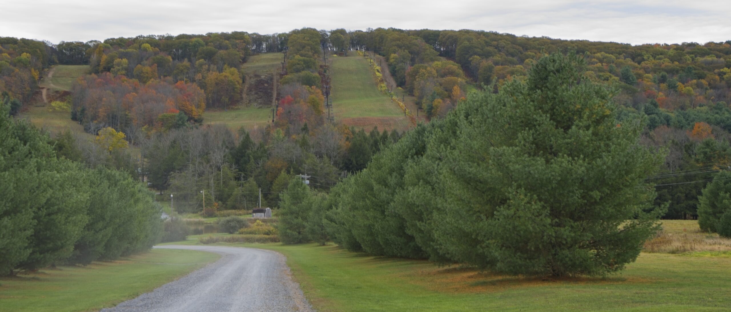
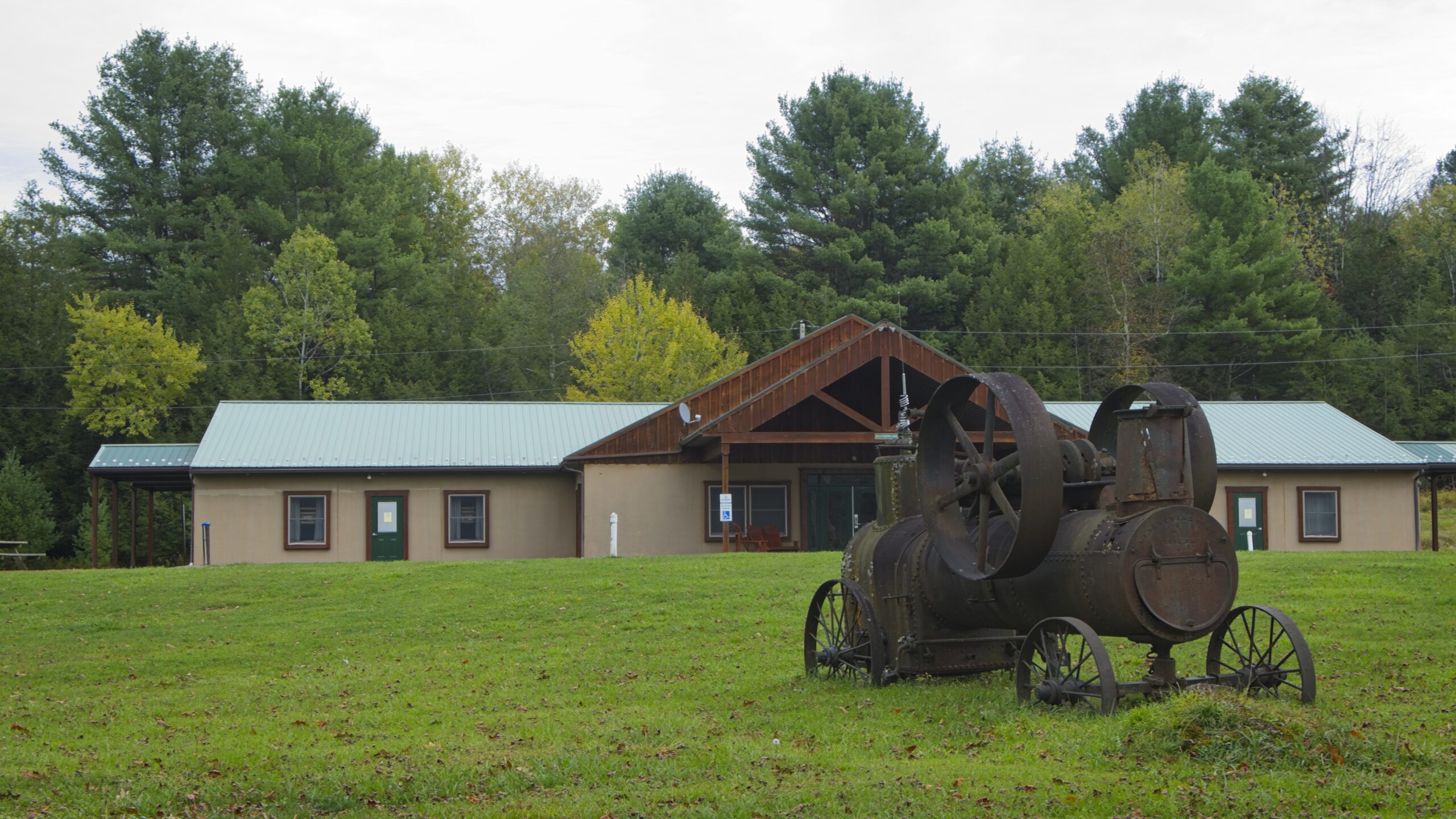
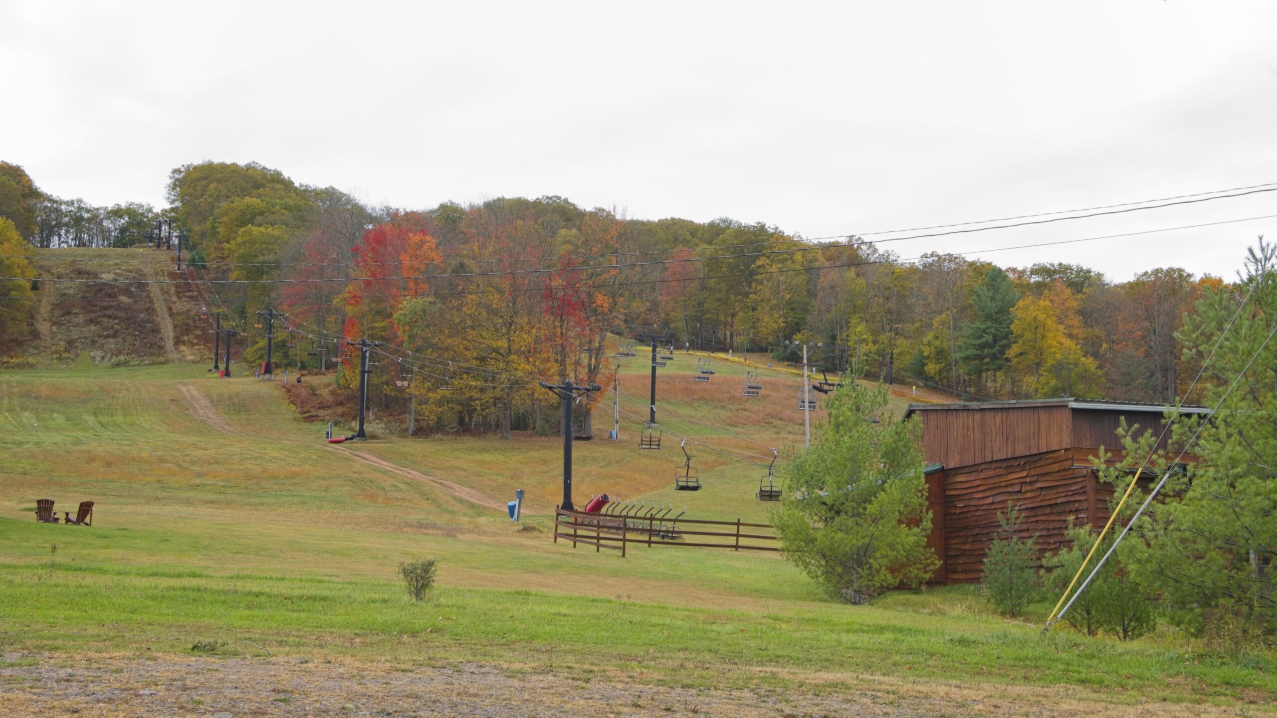
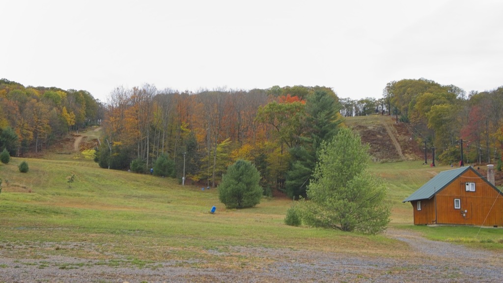
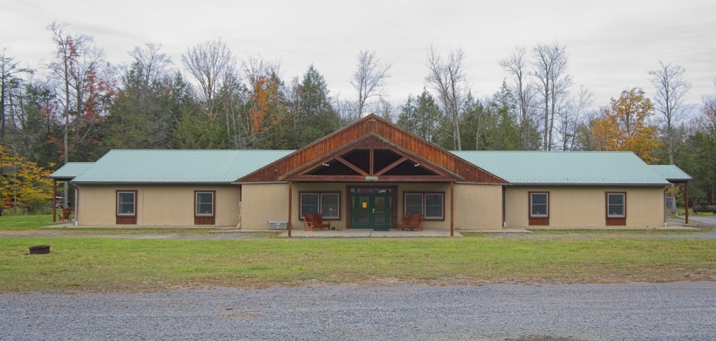
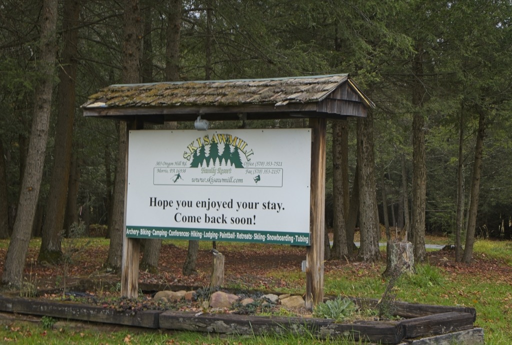
At this time of year, skiing is now on people’s mind. Ski Sawmill Family Resort, located in Tioga County, offers a family atmosphere and a range of options for skiers and snowboarders of all skill levels. The ski rea has 12 slopes and 3 lifts.
The resort’s peak elevation reaches 2,215 feet, with a base elevation of 1,770 feet, providing a 515-foot vertical drop. For those seeking even more excitement, the terrain park, conveniently located adjacent to the double chairlift, offers a variety of features for freestyle enthusiasts. There are also a variety of casual lodging offering onsite, a retail store and main lodge.
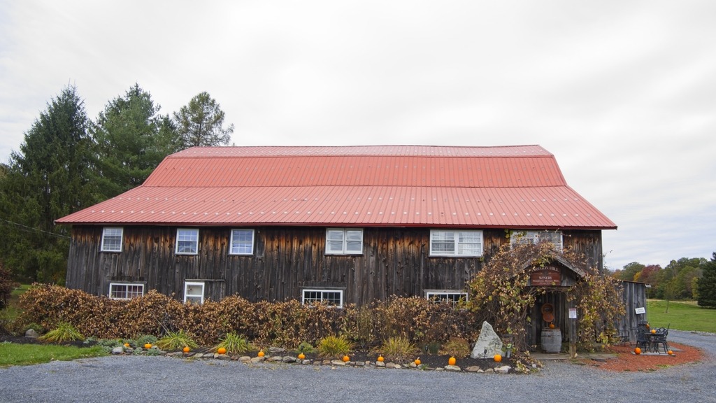
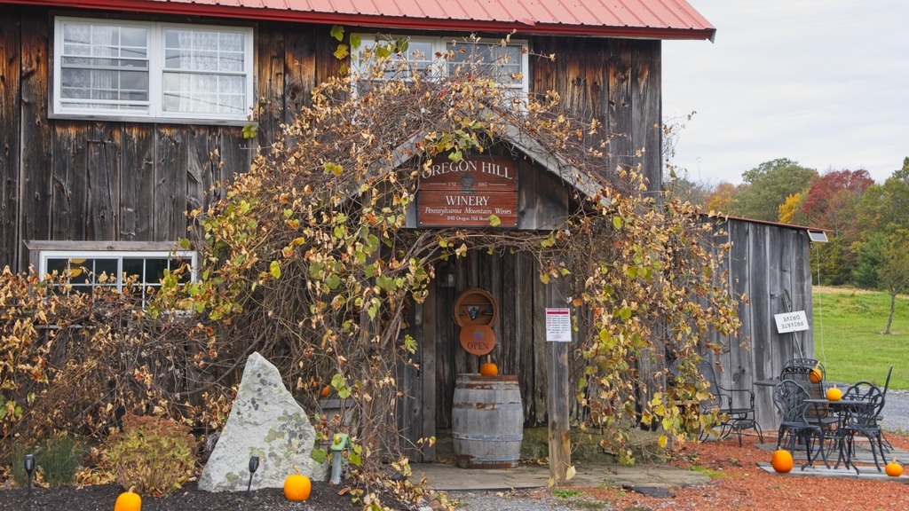
The Morris location of the Oregon Hill Winery is a short distance down the road. The Winery produces award-winning “Pennsylvania Mountain Wines.” Since 1983, our family-owned winery has been creating a variety of wines from bold, oaky reds to crisp, blush wines, as well as sweet fruit wines. The actual Winery is located in Wellsboro .
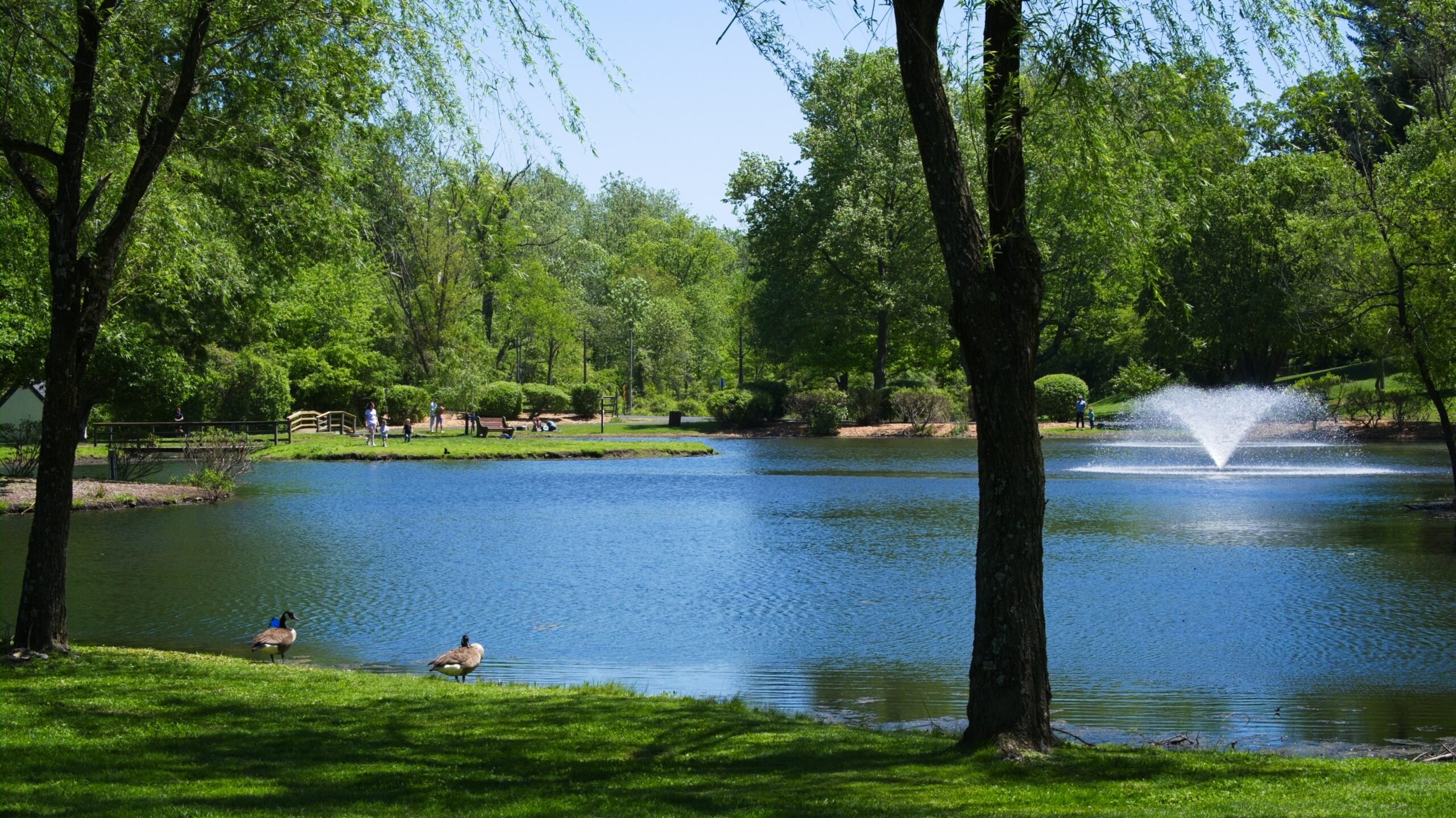
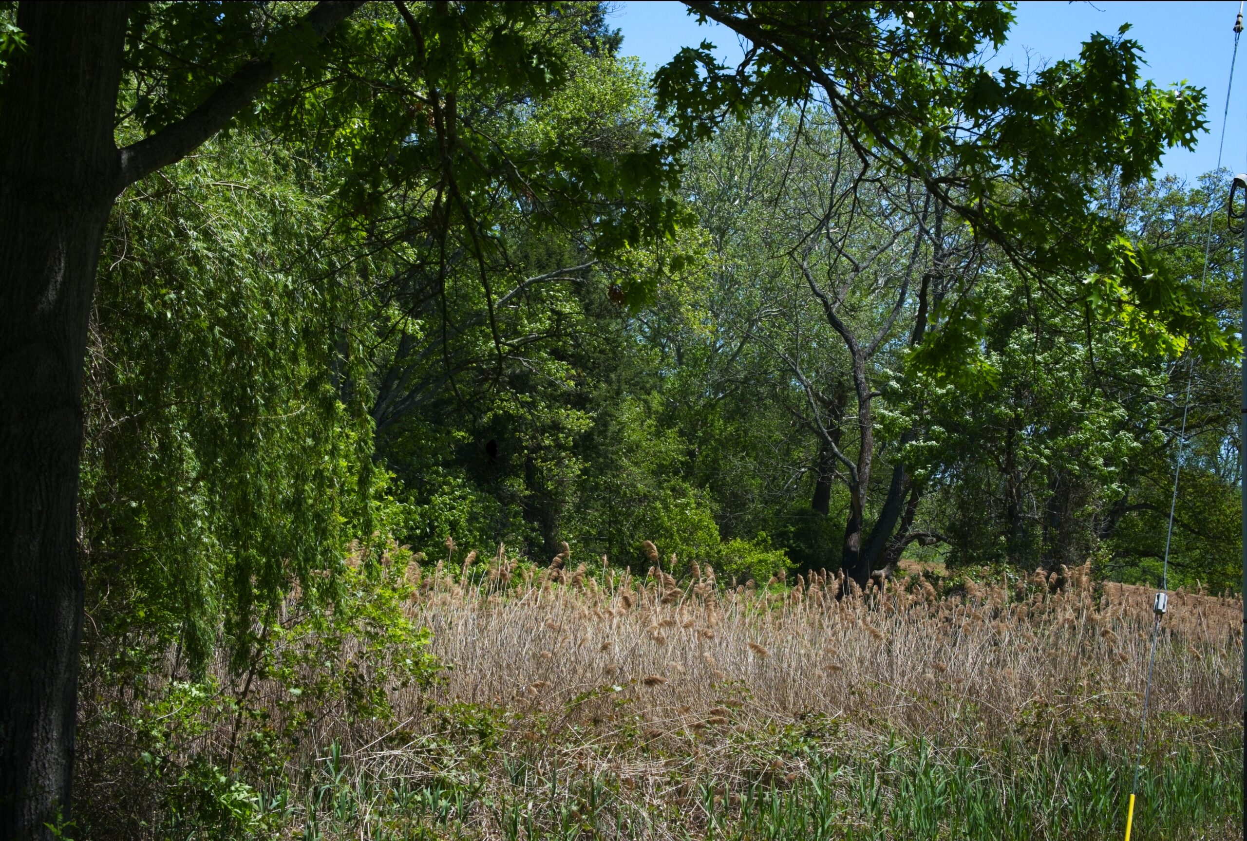
The Willows Park Preserve in northwestern Delaware Country has been a popular spot for birding, fishing, picnicking and walking for decades. Built in 1910, the Willows Mansion is surrounded by 47.5 acres of public park with water, meadow, woodland and garden views. Closed for nearly a decade, the deteriorating mansion sits idle while park life carries on. However, efforts to restore the Mansion are ongoing. It was once a very popular wedding reception venue.
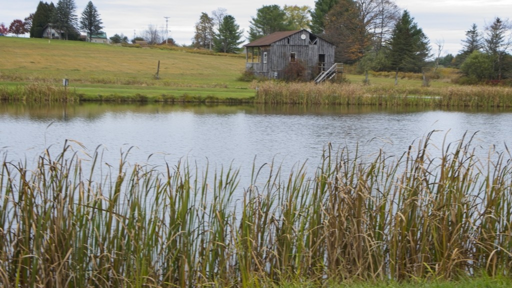
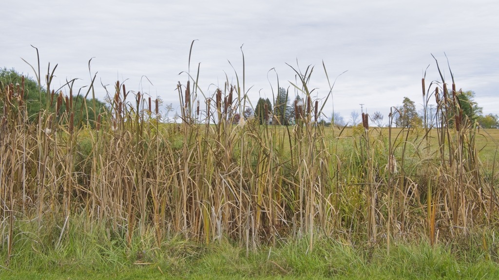
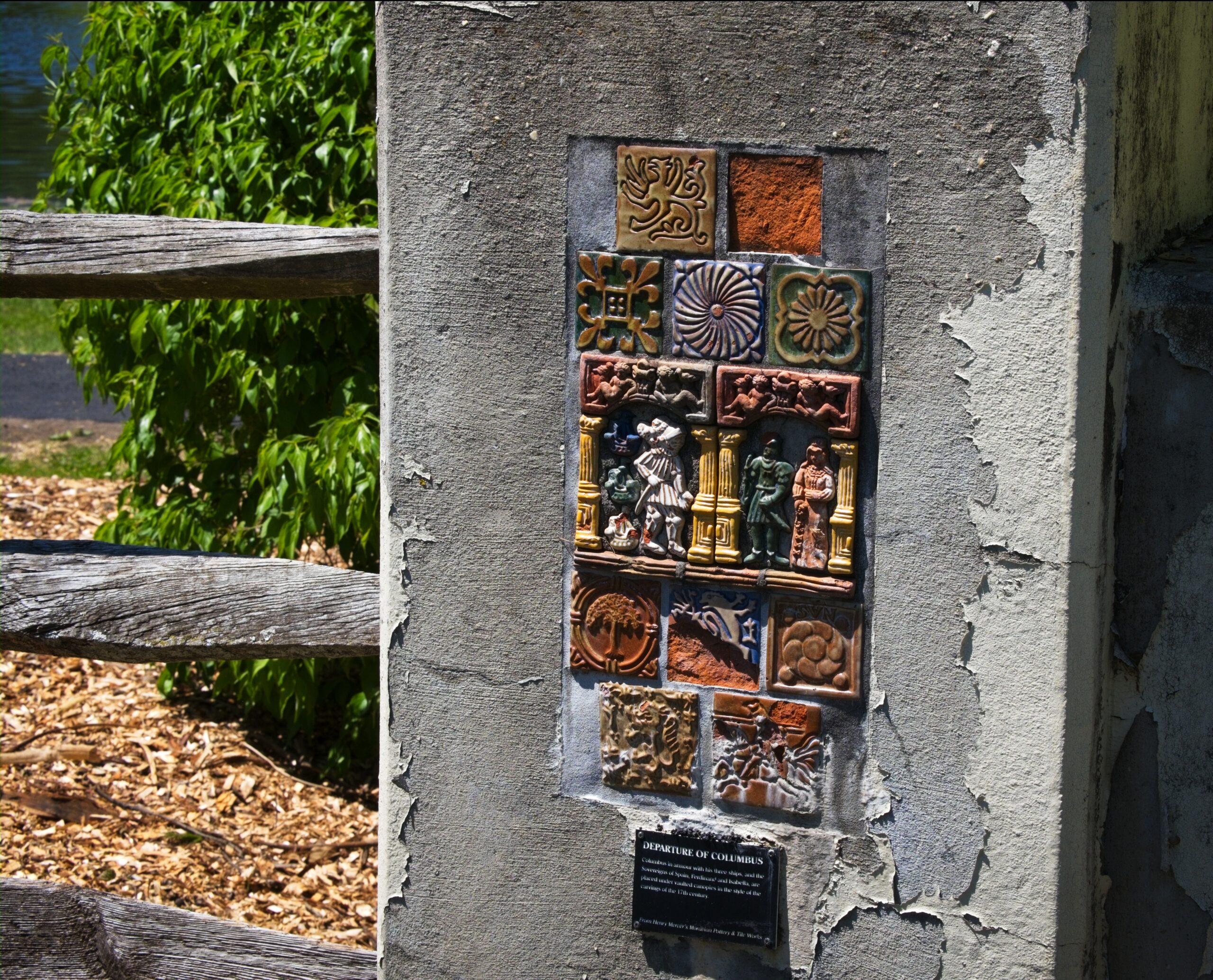
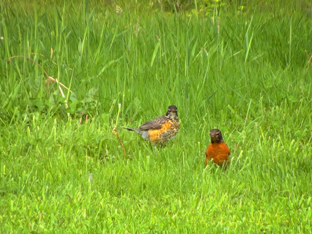
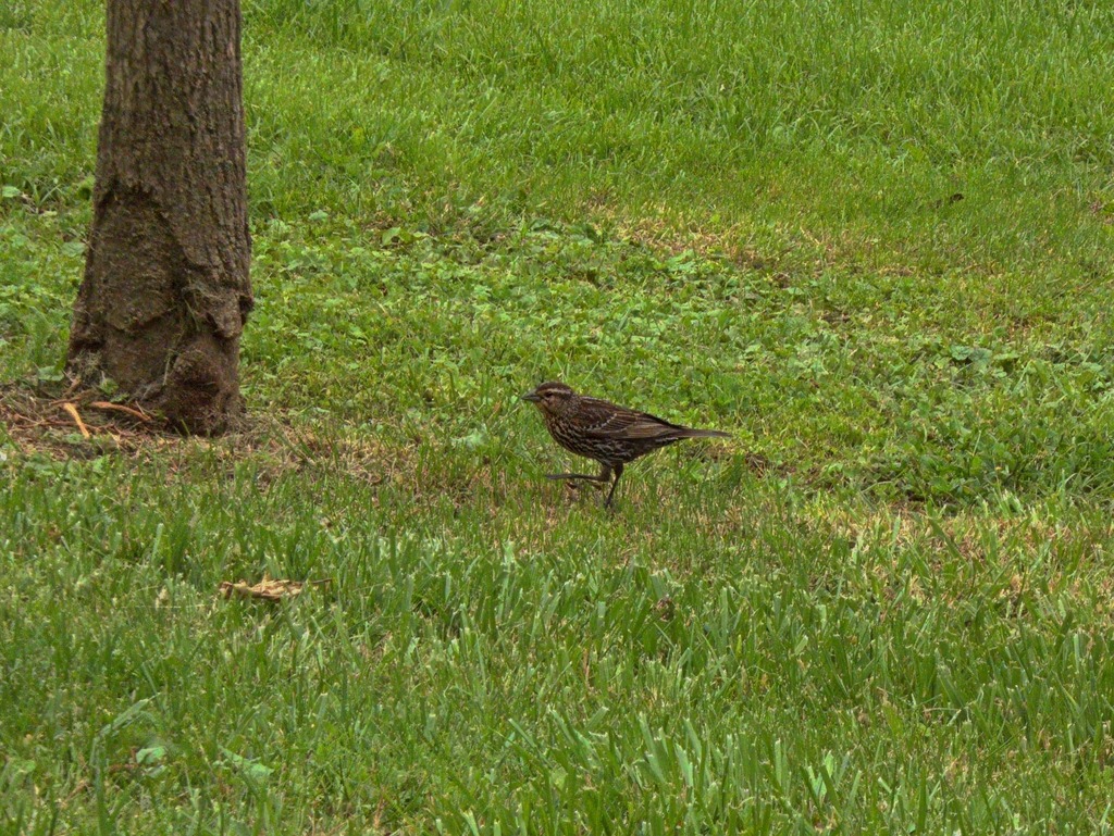
The pond, fed by Little Darby Creek, is popular with fisherman. The stream is stocked.Who you looking at?Some interesting tiles on the bridge over Little Darby.He’s behind me, right? Parent Robin pursued by begging fledgling.A good look at a fledgling robin.Looks like a female red-winged blackbird.
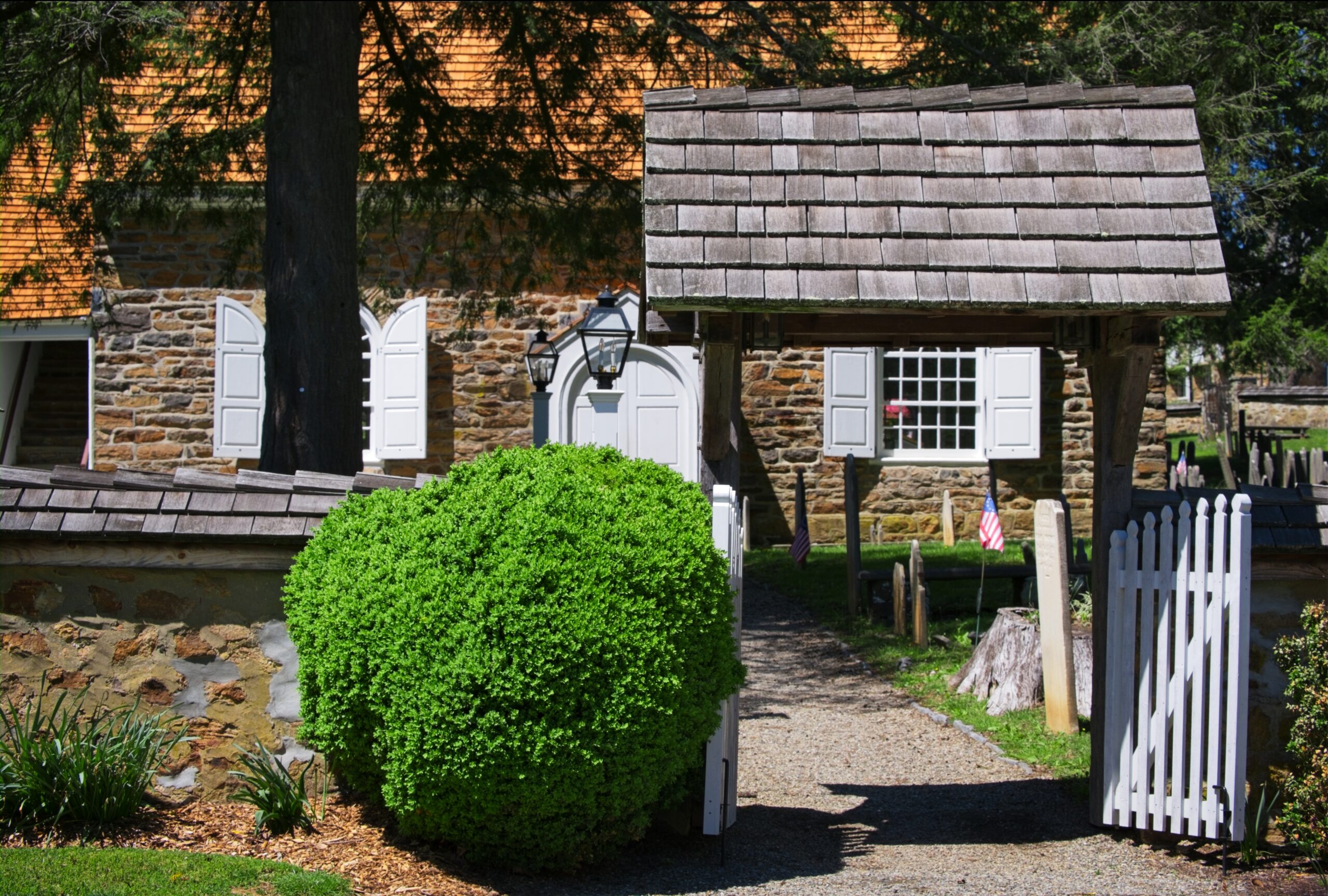
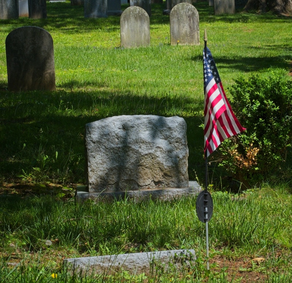
I made another stop that day at St. Davids Church, which lies mostly within Radnor Township, Delaware County. The parish is more than 300 years old. Toward the close of the seventeenth century, a hardy group of Welsh colonists settled in an area which became known as Radnor. In 1704, a 100-signature petition for Welsh prayer books and a Bible, but more particularly for a Welsh-speaking missionary, was dispatched to the Society for the Propagation of the Gospel in London. Ten years later, in return for this long-awaited recognition, the settlers “heartily engaged themselves to build a handsome stone church,” to be named after the Patron Saint of Wales. The cornerstone was laid on May 9, 1715.
With the coming of the Revolution in the colonies, a rapidly swelling wave of resentment against the Church of England arose among the patriots of the congregation. A leader of this opposition was Anthony Wayne, later appointed major general of the American forces, who is buried in St. David’s historic churchyard. The church building provided shelter for soldiers of both sides.
A view of the original church.The churchyard is a tranquil place.Some lovely color on these trees in late Spring.As an old church, there are some interesting mausoleums.
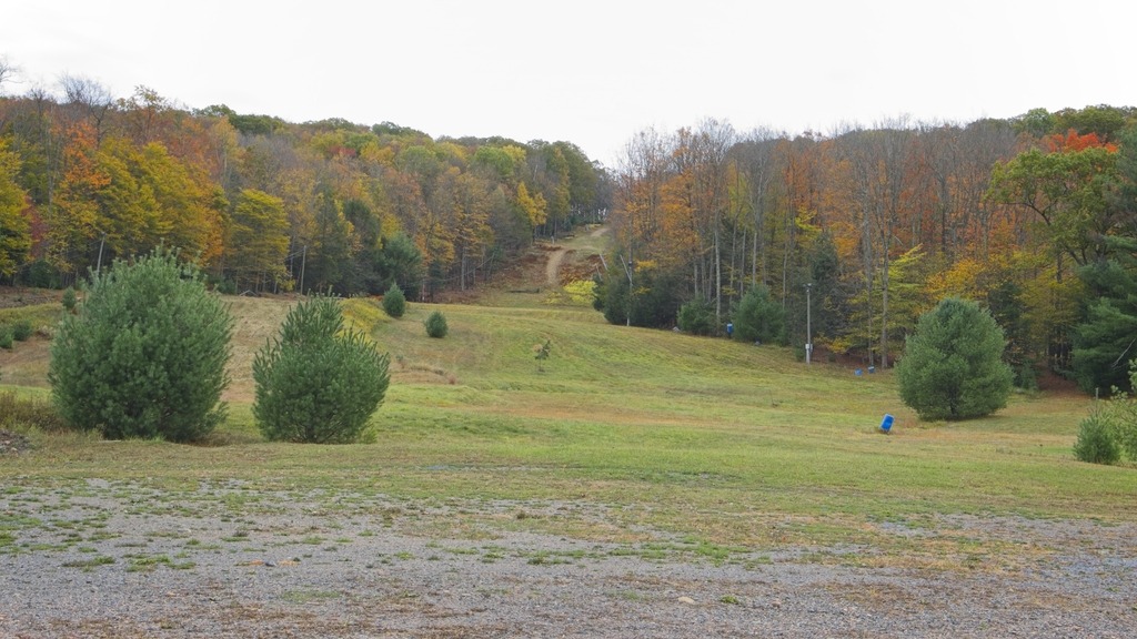
From my stop at Laurel Summit State Park, I headed north toward Route 30 along the ridge of Laurel Mountain. Laurel Summit Road is a good, compacted gravel road and provided some good birdwatching and sightseeing opportunities.
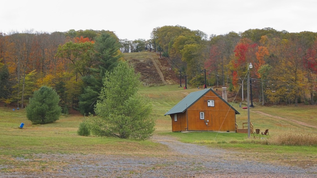
More Spring flowers.This pond, just south of Laurel Mountain State Park, was most likely a water source for firefighting. The Laurel Mountain Warming Hut, base of operations for the cross country ski trails at Laurel Mountain.The entrance to Laurel Mountain State Park. The gate to access road was open but marked “authorized vehicles” only. I believe you can hike in during the off season.
Atop Laurel Ridge at close to 3,000 feet in elevation, Laurel Mountain State Park features a family-oriented downhill skiing area and beautiful views of the Ligonier Valley. Opened in 1939, Laurel Mountain was one of the first ski areas in Pennsylvania and was known as the “ski capital” of the state.
The history of ski areas in Pennsylvania state parks is a checkered one. After closing for business in 2005, Laurel Mountain has been operating again as a ski area since 2016. The ski assets of the park were purchased by Seven Springs Mountain Resort in November 2008 with the goal of reopening the slopes. The are operated under a contract with DCNR by the management of Seven Springs.Seven Springs signed a 10-year lease with DCNR in November 2009. This allowed the ski company to move ahead with plans to renovate and reopen the ski slopes. It was open for the 2024-25 season, and it appears it will be open next season.
Laurel Summit Road brings you out onto Route 30 just before a long downhill section heading west into Laughlintown.
One of my favorite locations to photograph is along Templin Road in northern Chester County. The area is adjacent to the Thomas P. Bentley Nature Preserve and Warwick Furnace and sits in the valley of the French Creek, South Branch.
This pond has been a favorite subject in the past. Here is a sunset shot from quite a few years ago.
This post is a sampling of some of the sites of Somerset County. The first stop is the Somerset Historical Center and Walters Mill Covered Bridge. The Center is a 150-acre rural history museum with exhibits, workshops, and educational programs dedicated to preserving the history of life in southwestern Pennsylvania from the region’s first farmers to the present day. It also serves as headquarters of the Historical & Genealogical Society of Somerset County. The Visitors Center houses permanent and changing exhibits as well as the Genealogical Research Library. I found it to be a good general source of information about the area, which was a life saver when my phone decided not to cooperate with me.
The Walter’s Mill Covered bridge has been relocated to the property.
The covered bridge was built in 1859 and originally crossed Coxes Creek, four miles south of the town of Somerset. Major repairs were made to the bridge in 1909, at which time laminated wood arches were added to the bridge’s original multiple kingpost truss system to accommodate heavier vehicles. Overtaken by developments and threatened with destruction, the bridge was moved to the Somerset Historical Center in the early 1960s. Extensively restored in 1986, the bridge remains open to pedestrian traffic.
Nearby is the Quecreek Mine Rescue site. On July 24, 2002 coal miners at the Quecreek Mine in Lincoln Township, owned by Black Wolf Coal Company, accidentally dug into the abandoned, poorly documented Saxman Coal / Harrison #2 Mine, flooding the room and pillar mine with an estimated 75 million US gallons (280,000 cubic meters) of water. Both the Saxman Mine and Quecreek Mine are in the Upper Kittanning coal seam. Fortunately, all nine trapped miners were rescued using a metal capsule structure lowered into the mine through a drilled hole. The incident garnered national attention, especially in the wake of the September 11 disaster and the crash of Flight 93 nearby in Shanksville.
The nearby Dormel Farm.
Driving further north, one can visit the Trostletown Covered Bridge, a historic covered bridge in Quemahoning Township. It was built in 1845, and is a 104-foot-long (32 m) Kingpost truss bridge, with half-height plank siding and an asbestos shingled gable roof. The bridge crosses Stony Creek. It is one of 10 covered bridges in Somerset County. It was added to the National Register of Historic Places in 1980.
The bridge is adjacent to an American Legion Post with an impressive display of hardware.
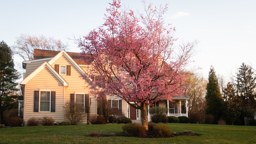
It now feels more like Spring in Chester County, although the calendar still says it’s Winter. The weather, however, can’t seem to make up its mind. We start with a few scenes around Kimberton.
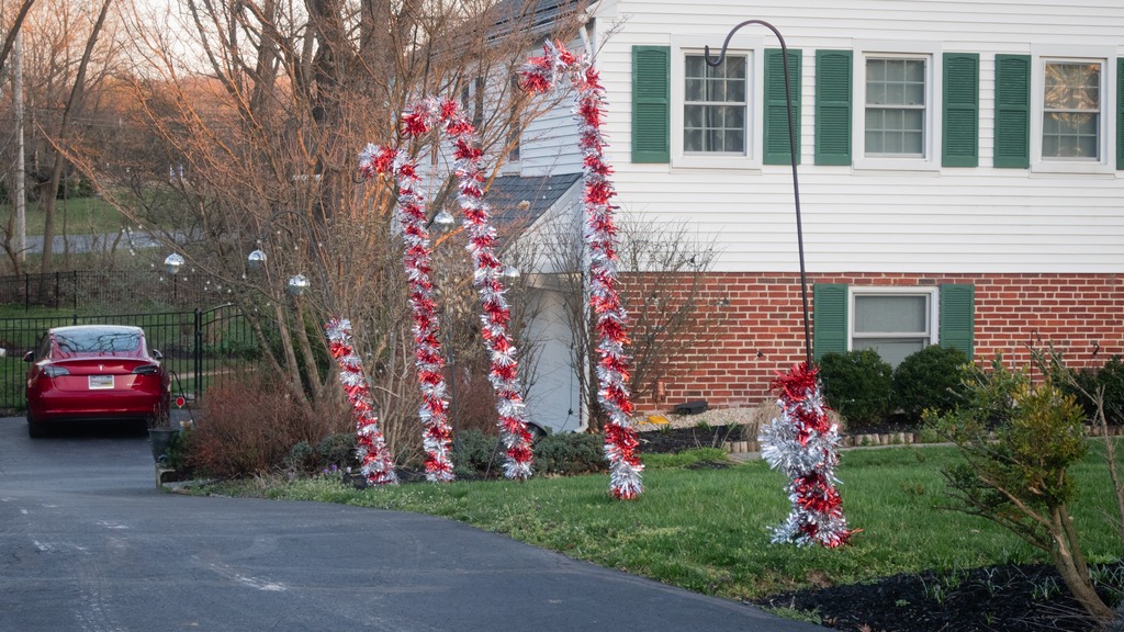
French CreekFurther east, I’m not sure what these critters are. They may be llamas or alpacas.I loved the golden hour glow on this house.At this house, it is apparently still Christmas.
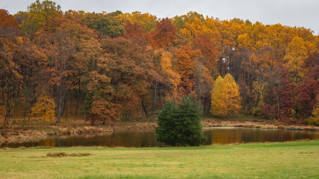
Autumn is my favorite time of year and probably the most photogenic time in Pennsylvania. Here is a look back at some fall foliage in northwestern Chester County.
The Clarion River area is one of the most scenic in Pennsylvania. One of its jewels is a 13-mile stretch of the the river that flows through Cook Forest State Park and is popular for canoeing, kayaking, and tubing.
The 8,500-acre Cook Forest State Park and 3,136-acre Clarion River Lands lie in Clarion, Forest and Jefferson Counties. The Cook Forest Association was formed in the 1920s to save the few areas of surviving old growth timber. Endorsed by national natural resource groups and Governor Gifford Pinchot, the association raised $200,000, which helped the commonwealth purchase 6,055 acres from A. Cook Sons Company in 1927 for $640,000. Cook Forest became the first Pennsylvania state park acquired to preserve a natural area. It was later designated a National Natural Landmark.
This area is known for some of the tallest trees in the state and old growth forest.Some camping cottages.The surrounding area was surprisingly touristy.
I also visited Clear Creek State Park which is 11 miles from Cook Forest. The park encompasses 1,901 acres in Jefferson County and occupies a scenic portion of the Clear Creek Valley from PA 949 to the Clarion River. It has camping, rustic cabins, and Clarion River access for fishing and boating.
Here is a look around the area near my aunt’s farm in Greenwood Township, Columbia County from the opening weekend of rifle deer season. Sadly, no one had any luck that weekend.
Some curious cattle on my grandparent’s old farm.Muddy Run runs through the farm.The neighbors have a nice looking eagle carving.My cousin’s house is quite windy, and the flag takes a beating. It has to be replaced often.The pond at this property is relatively new.One of the fanciest dairy farms in the County (no relation).