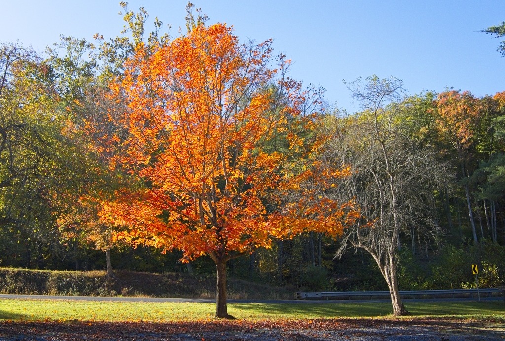
It feels like the season is a bit late this year. However, the early bulbs and the forsythia are finally making an effort.


Below are some early Spring scenes from around Valley Forge.
It feels like the season is a bit late this year. However, the early bulbs and the forsythia are finally making an effort.
Below are some early Spring scenes from around Valley Forge.
The grim winter weather continues in Chester County. I was able to get away on a Sunday to visit a few spots along French Creek.
Rapp’s Dam Covered bridge has been featured before on this blog. This bridge is a 105-foot-long (32 m), Burr truss bridge that was constructed in 1866 by Benjamin F. Hartman. It has fieldstone abutments, horizontal siding and boxed cornices with returns at its portals. It is one of three covered bridges that cross French Creek, the others being Hall’s Bridge and Kennedy Bridge. The Rapps Bridge was renovated in 1978 and again in 2011.


The bridge is adjacent to the French Creek Heritage Park which has picnic tables and access for the French Creek Trail.

Snyder’ s Mill also sits in the park. It was a linseed oil mill in the 1800s, and could be the graining mill of the 1775 Continental Powder Mill Complex. In recent years, Snyder’s Mill had been on the verge of total collapse. The East Pikeland Historical Commission has stabilized the mill and is working to promote the site as a heritage tourism destination.


A short distance upstream is the Hares Hill Road Bridge, a single-span, wrought iron, bowstring-shaped lattice girder bridge. It was built in 1869 by Moseley Iron Bridge and Roof Company and is the only known surviving example of this kind.


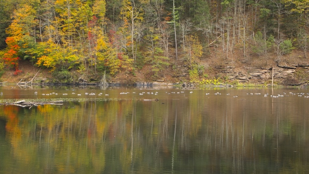
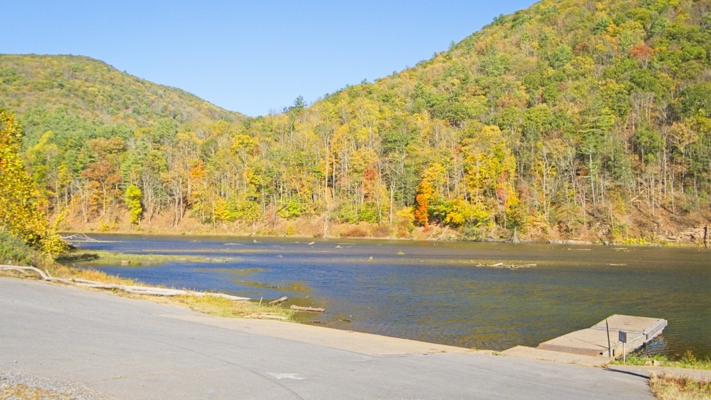
The Schuylkill River once had a navigation along its length. A few structures associated with this waterway remain – including Lock 60 at Mont Clare, Montgomery County. I visited on Valentine’s Day as part of a trip along the River to look for waterfowl. A few areas of the River that were free of ice had groups of ducks, including Hooded and Common Mergansers, Goldeneye, Mallard, Greater Scaup, Ring-necked, Bufflehead and a rarity – the Tufted Duck.
Lock 60 is a fully restored, working lock on the Schuylkill Canal, originally built as part of the Schuylkill Navigation system. The lock is demonstrated for groups and during special events by the Schuylkill Canal Association. This lock, one of 71 originally built on the canal, was constructed in the 1820s and was originally part of the Oakes Reach. The site includes the original Locktender’s house as well as canal information and interpretation. The house is open by appointment and during special events.

Some views of the lockkeeper’s house.


Some looks along the Canal and the River – sadly no ducks were present here, as both areas were covered in ice.


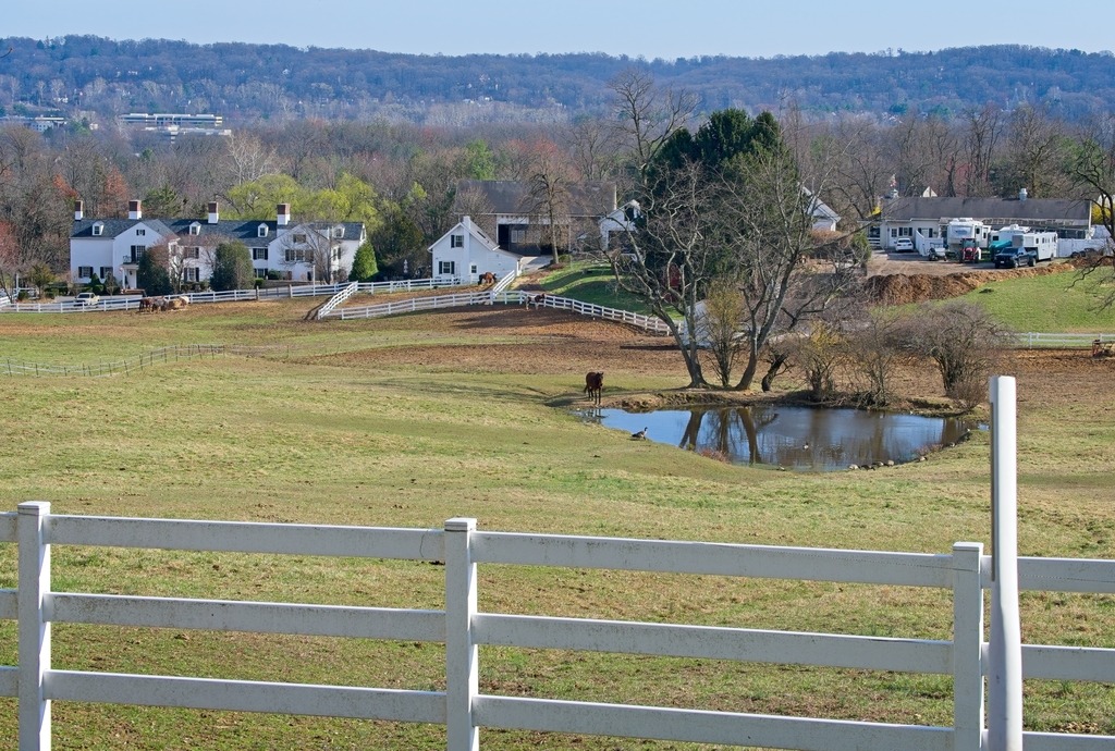
This winter has been particularly harsh, with prolonged periods of below average temperatures that have kept me trapped at home when the snow fails to melt around my car. I did, however, manage to travel to a farming area in northwestern Chester County to do some birding on New Year’s weekend.
This area is known for attracting winter migrant species that prefer open habitats, such as horned larks, Lapland longspurs, and snow buntings. I have had lucky seeing the horned larks before. This time, I saw the flocks of birds but had difficulty making out individuals with my binoculars or camera. However, a popular bird sound id app did pick up all of the species above, including the snow bunting and longspur. To access this site, one has to try to pull off by the side of the road and sit an wait. There was one other car during the time I was there. The locals must think we are crazy.
In terms of pictures, I had to content myself with scenes of the local area.


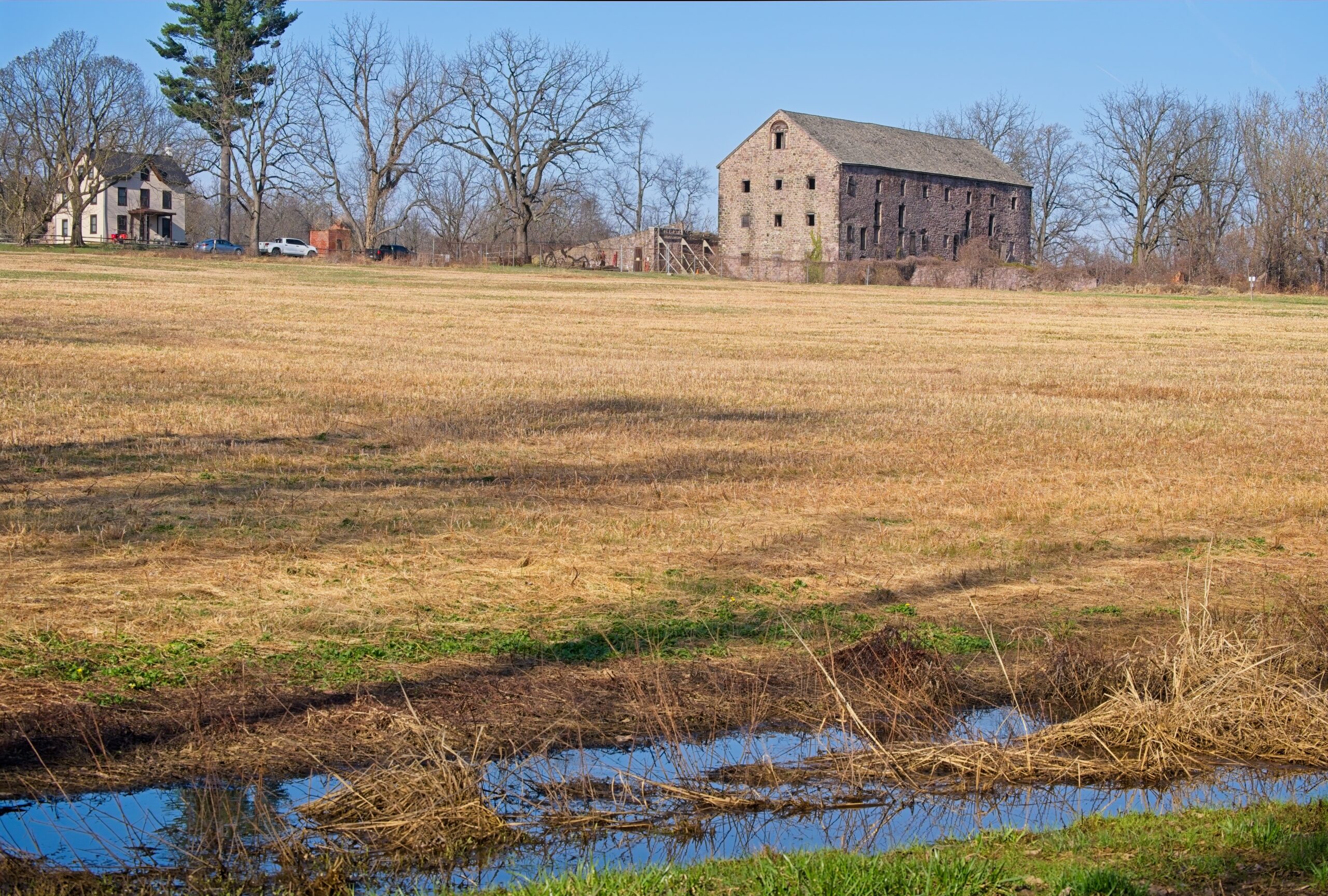
I made my way home via Marsh Creek State Park. Alas, the gull photos I took there were too distant and blurry.


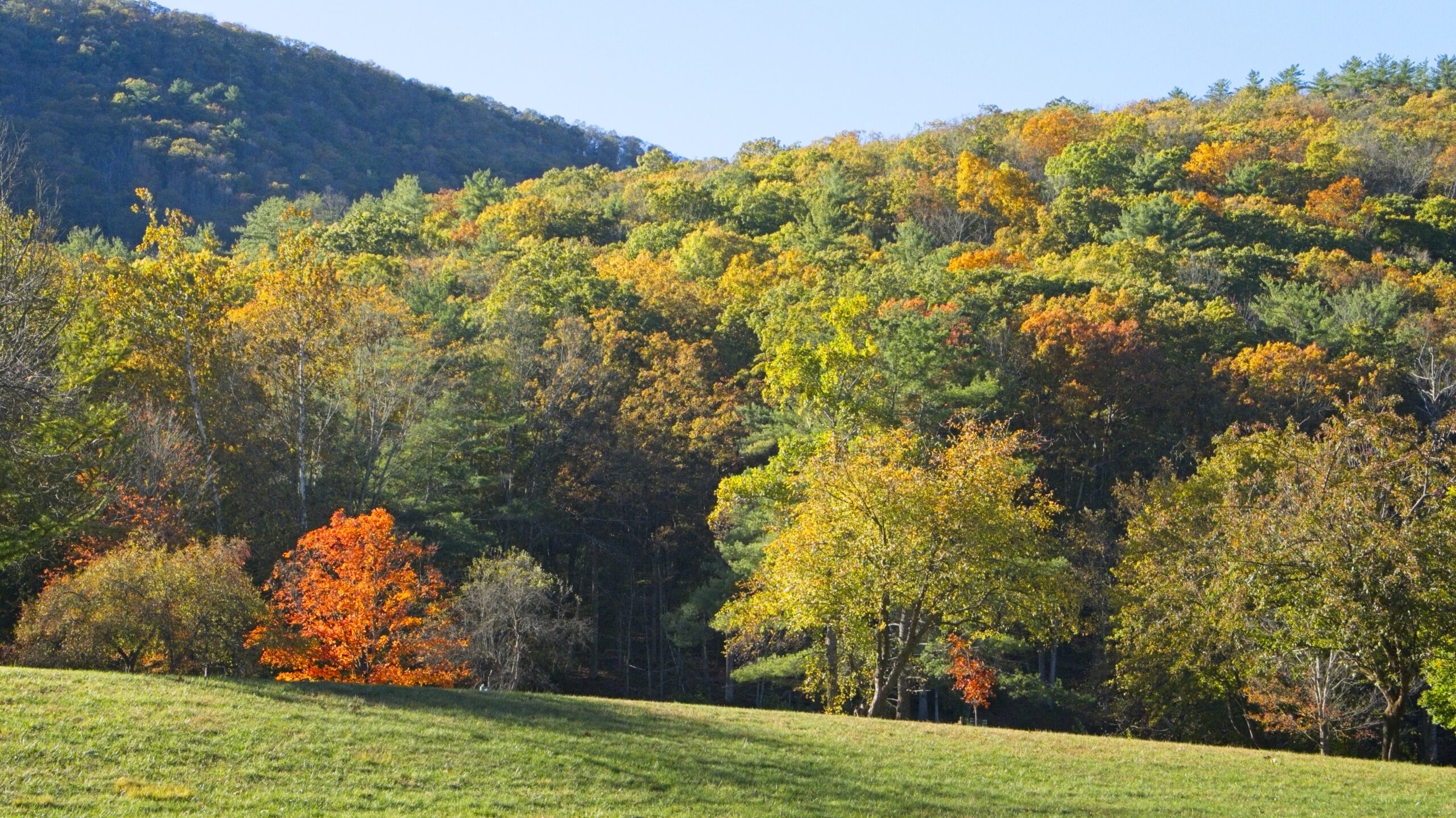
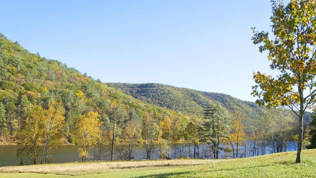
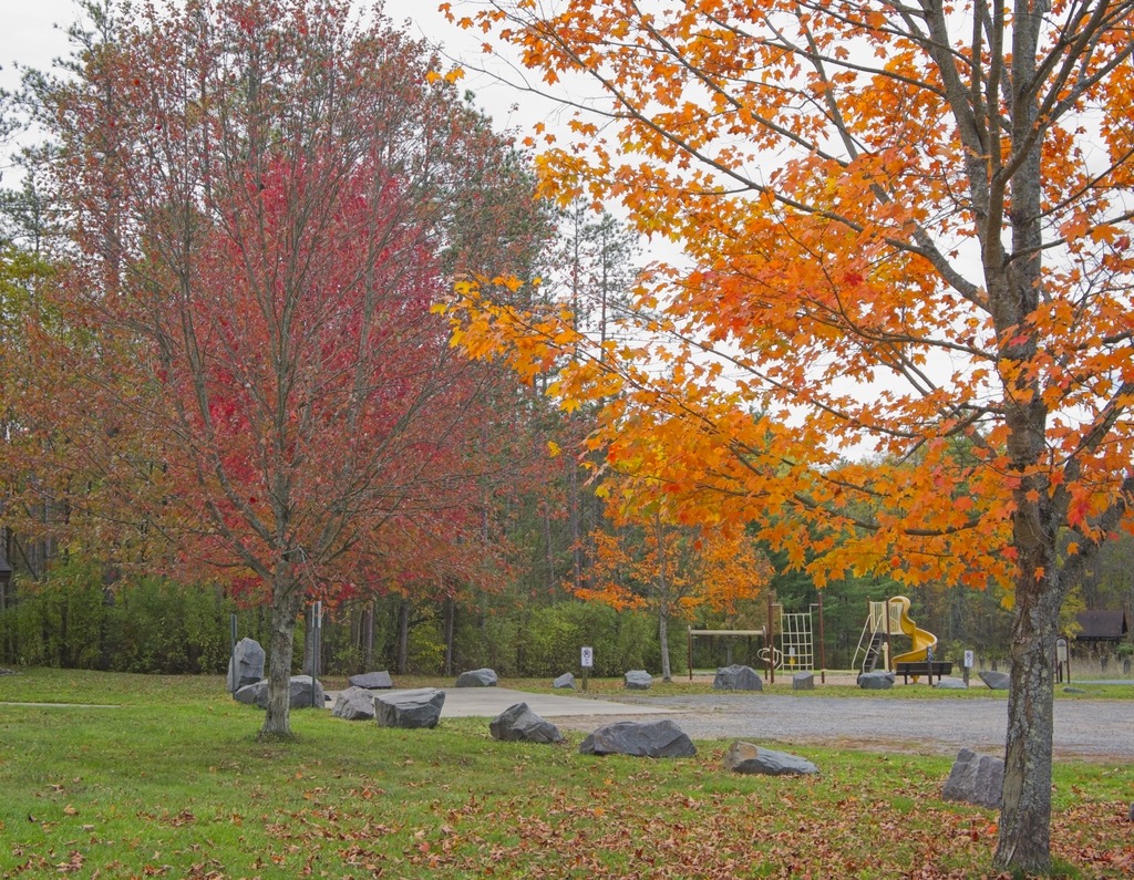
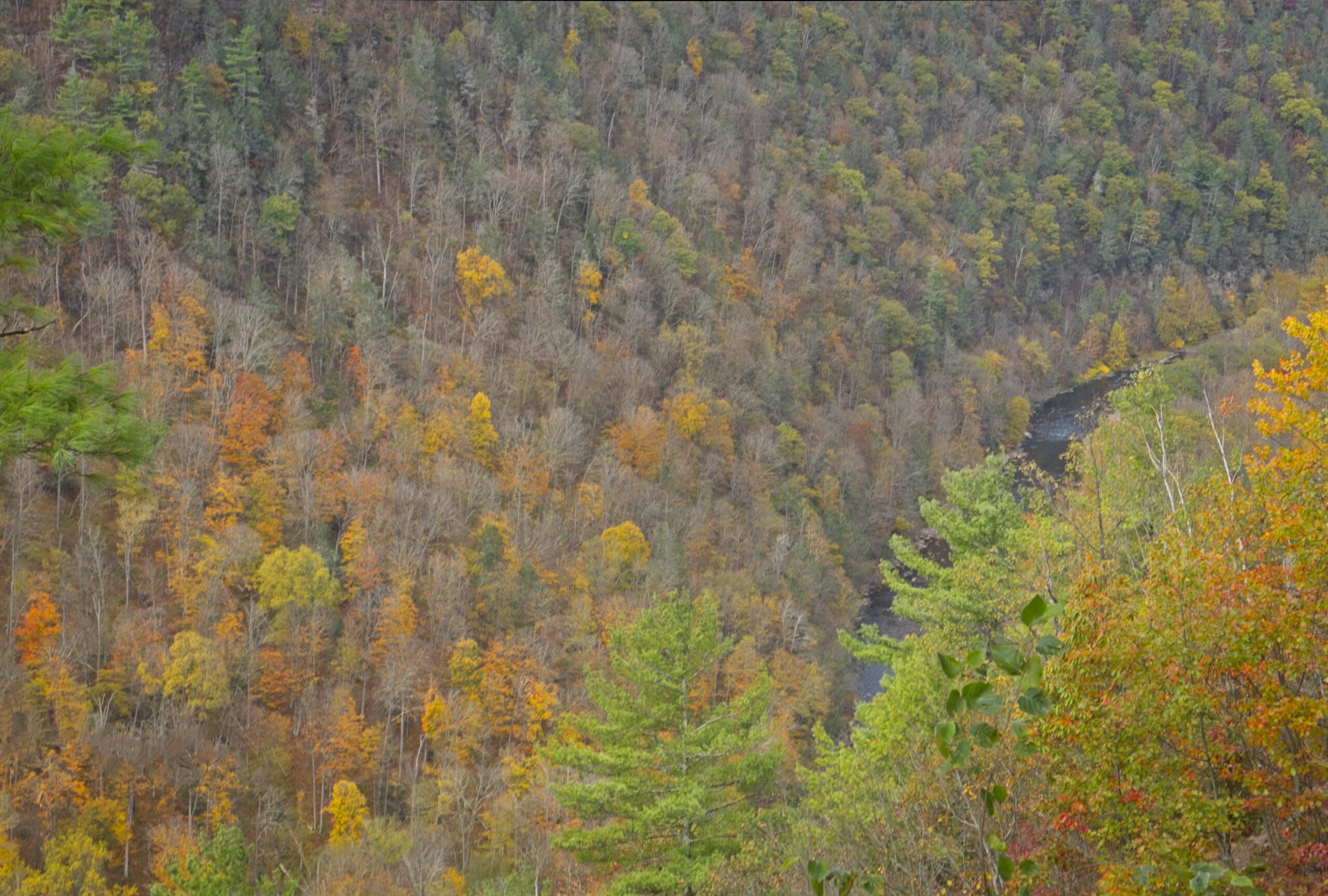
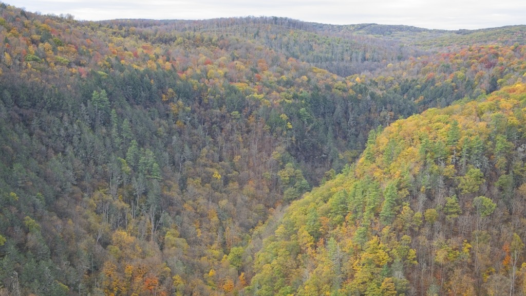
The scenic vista on McCalls Dam Road in Clinton County provided a good overview of the area’s fall foliage. I felt this year’s foliage was not spectacular, but still nice, perhaps due to warm and dry conditions in the preceding weeks. This vista sits above Raymond B. Winter State Park, and the road is paved from that park to this location. It is also south of McCalls Dam State Park on the same road. Confusingly, there is no longer a dam at McCalls Dam. The small park is adjacent to White Deer Creek, and the surrounding forest contains pines, hemlocks, maples, and oaks. There is a small picnic area with picnic tables and and a bench next to the creek. The park also provides access to hunting, fishing and hiking.


Here is an actual dam at Raymond B. Winter State Park.


A view of the lake and the beach.
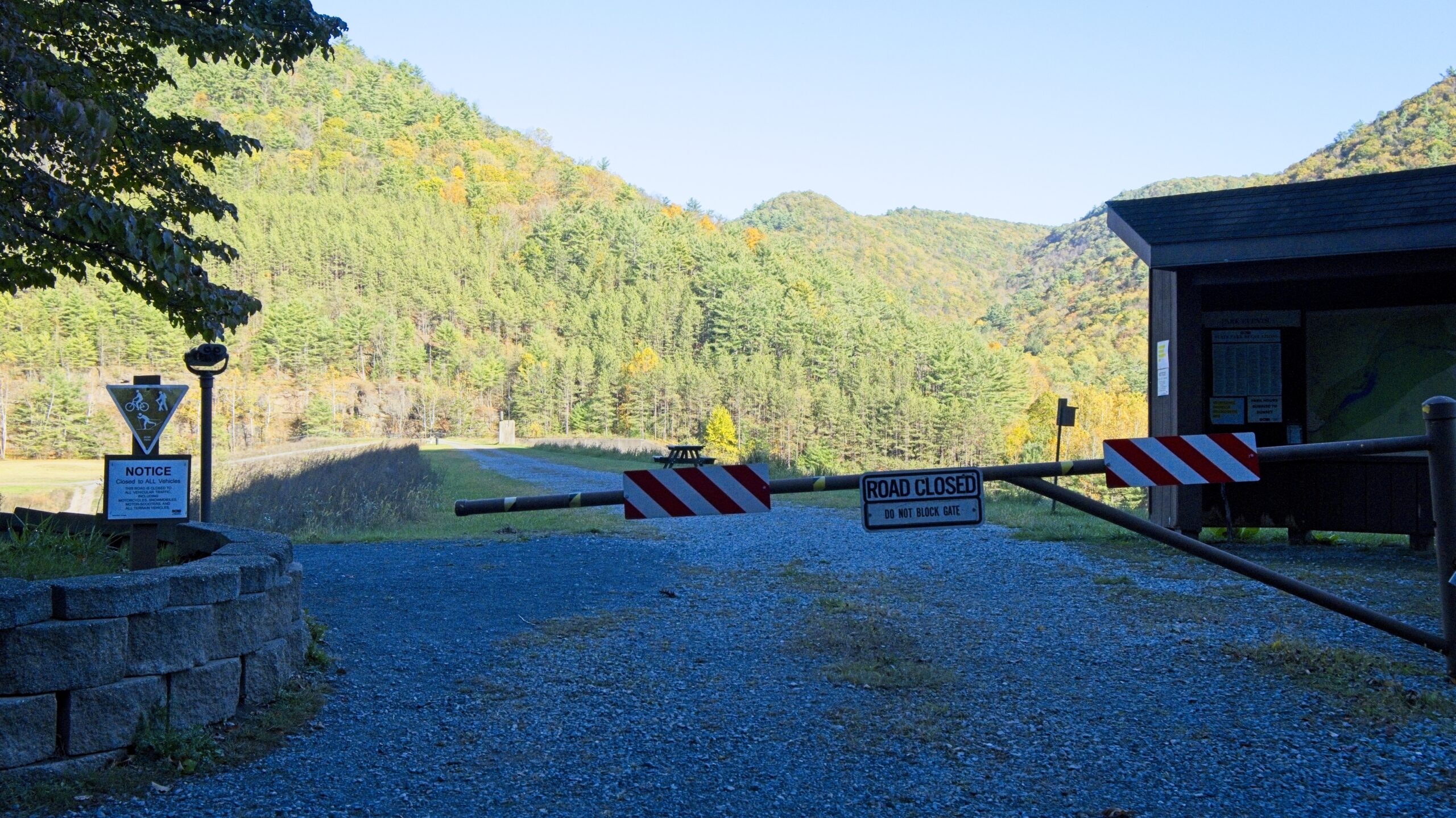
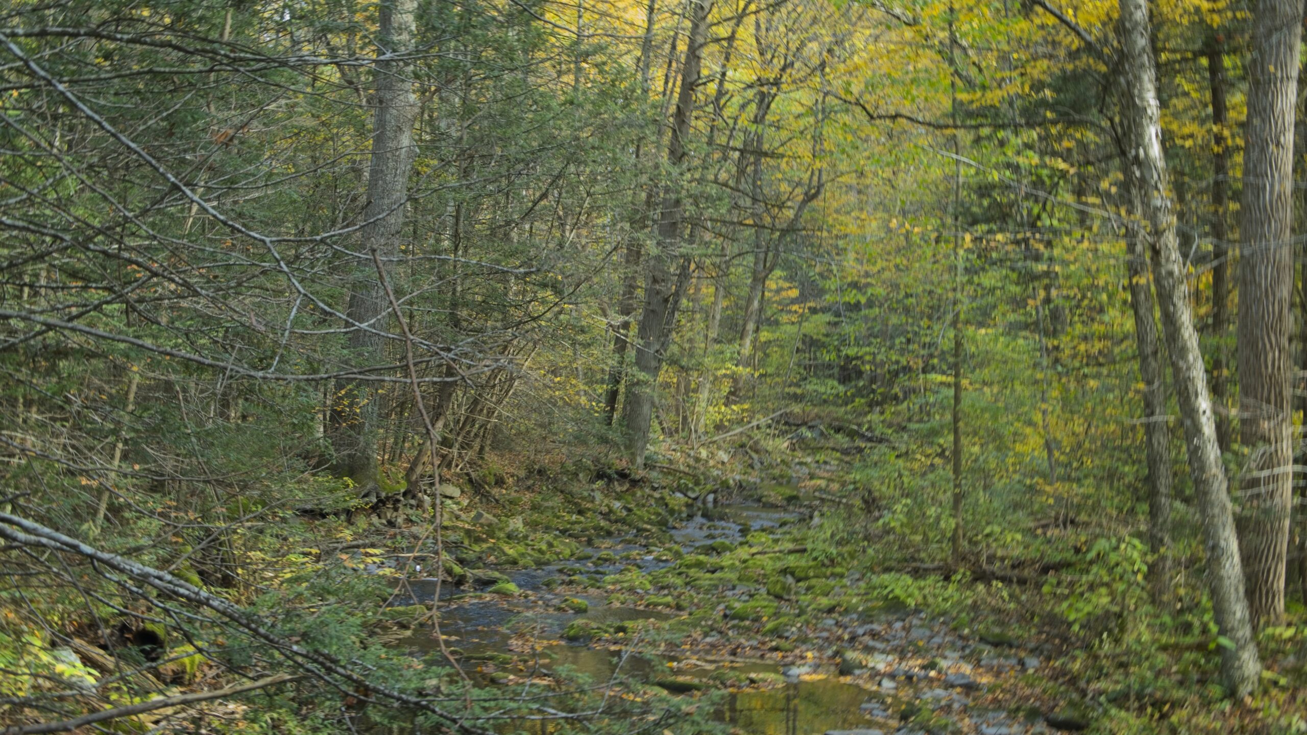
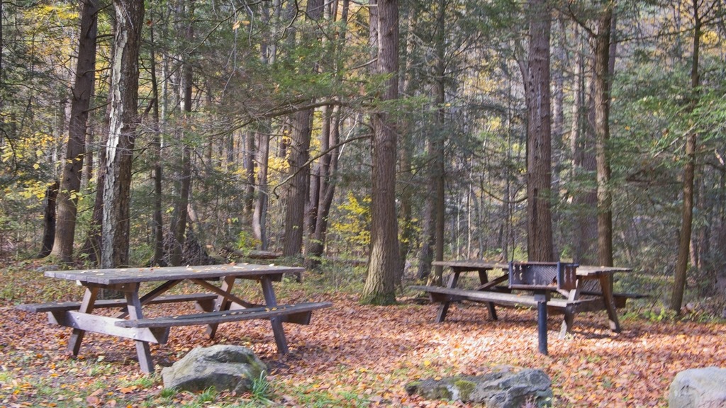
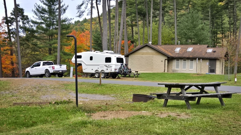
I made a quick stop at Ravensburg State Park on my way home from the Pine Creek area because I realized I had missed most of its features on my first trip. Ravensburg is small wooded park with picnicking, hiking, hunting and fishing, and a rustic campground. The campground was already closed for the season in mid-October.
The park lies in a cozy, steep-walled gorge carved by Rauchtown Run through the side of Nippenose Mountain. A northern hardwood forest blankets the bottomland along this spring-fed stream.
Talus (rock) covered slopes and interesting rock formations are interspersed among a stunted oak forest growing on the steep mountainsides and ridges. This pretty valley is especially beautiful when the mountain laurel blooms during late June and during the fall foliage of October.
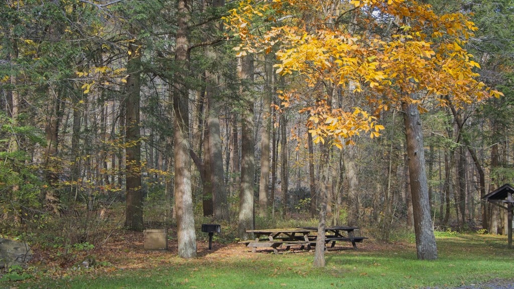


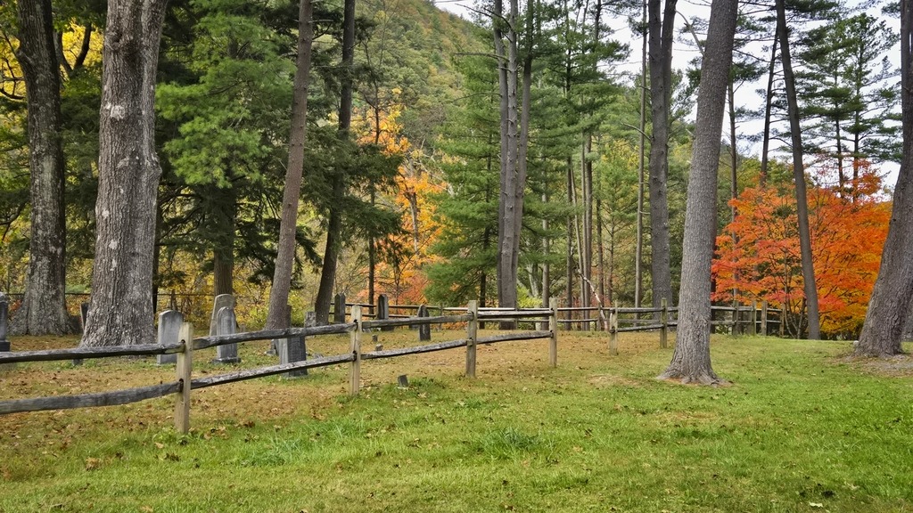
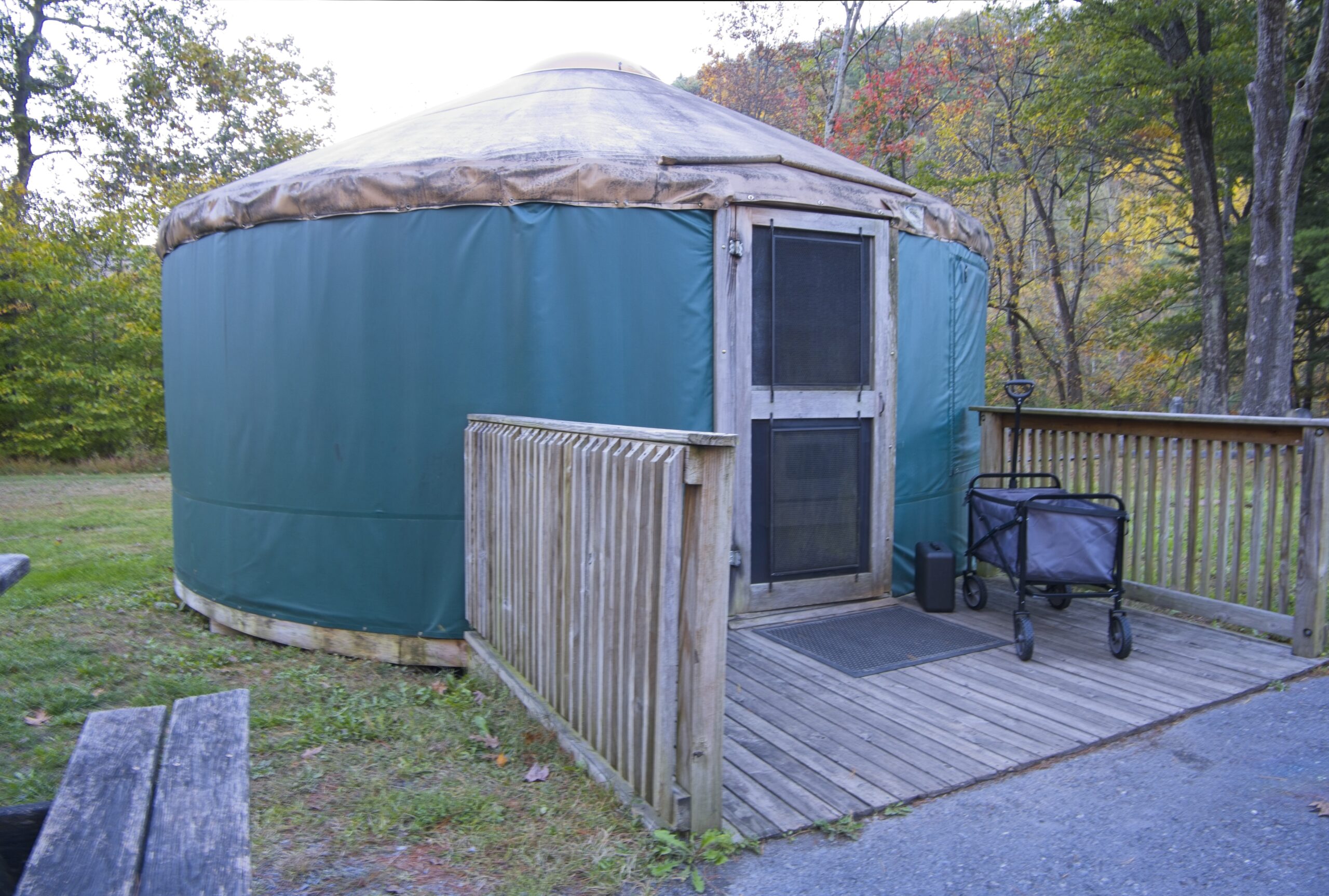
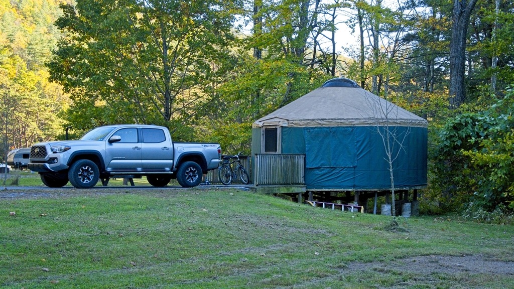
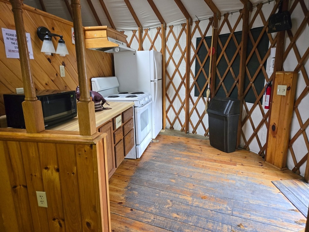
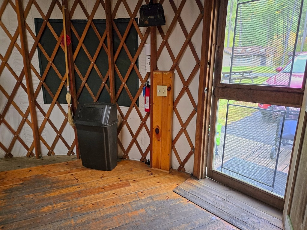
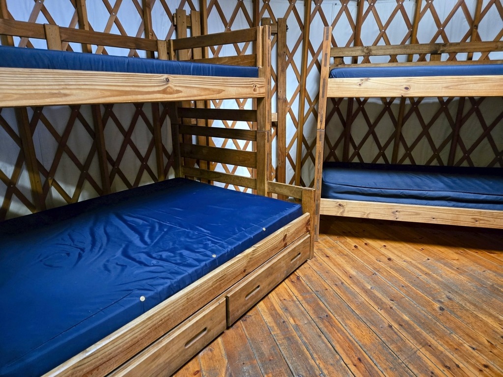
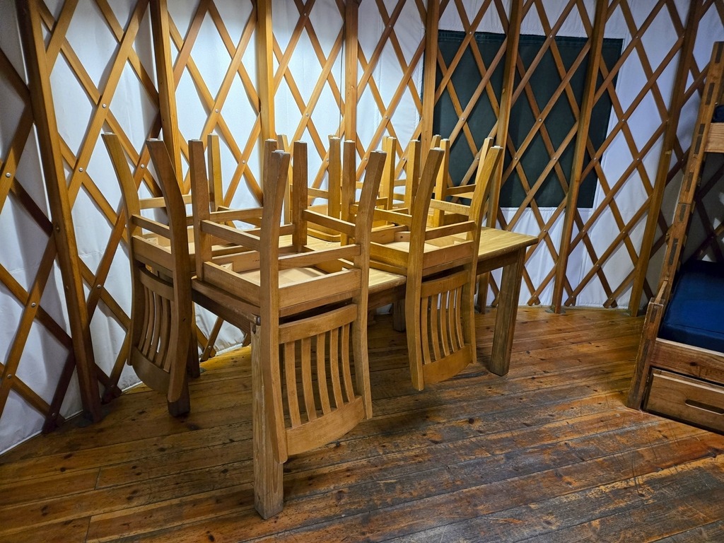
I was surprised to find a small cemetery next to my yurt at the Little Pine State Park campground.
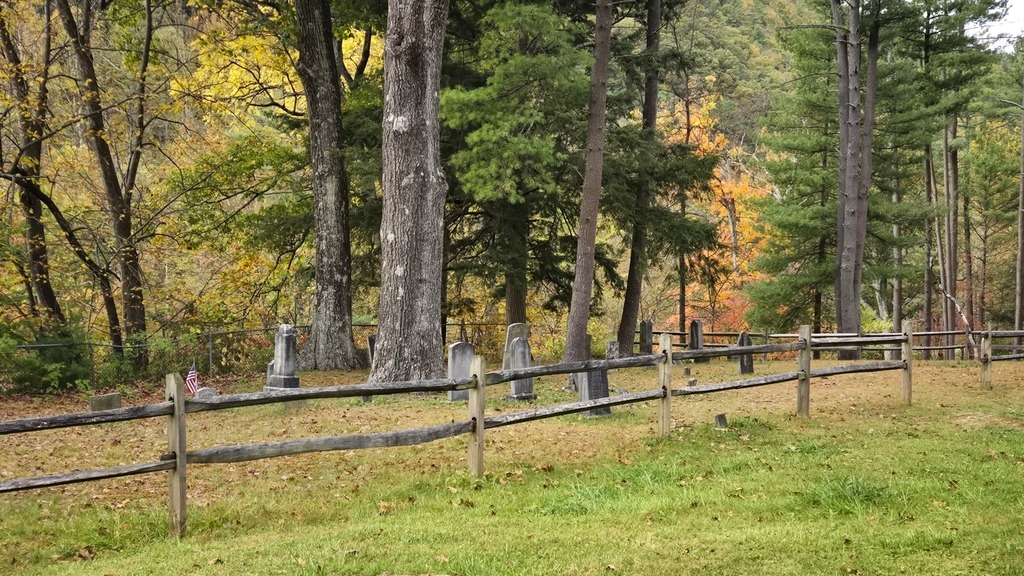
It seems this cemetery was part of the town of English Mills. As is sadly the case with many large reservoirs and lakes in the state, communities are flooded to make way for them.
During 1782, the first American settlers in the Little Pine Valley were brothers John and James English. These brothers built two sawmills along Little Pine Creek in 1809, one of which was at the southern end of the present park boundary. The village of English Mills was established in 1816 and housed the families of the loggers, occupying what is now the park campground. The cemetery of English Mills is on a small knoll in the middle of the campground.
Another prominent name in local history is Robert Carson. He was the first of his line to settle in the Little Pine Valley, and his descendants, who made homes near his homestead, gave rise to the village of Carsontown. Robert Carson was one of the first farmers in the area, and also operated a sawmill. The Carsontown cemetery can be found at the northern end of the park.

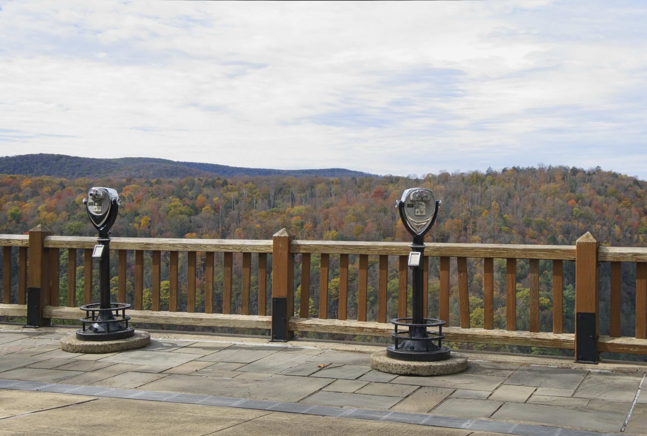
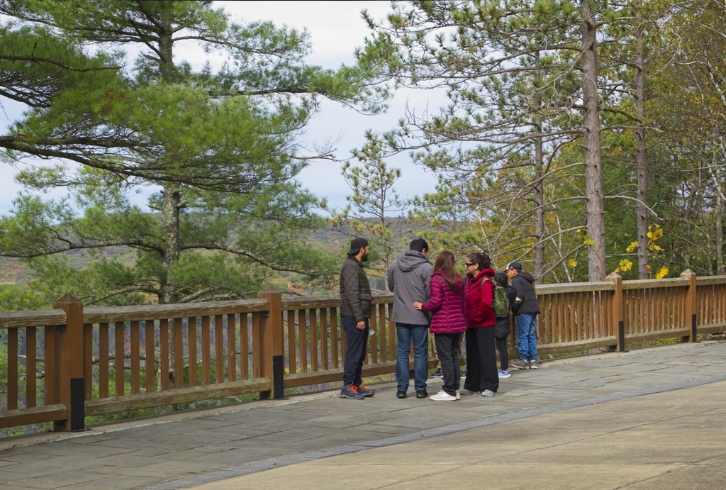
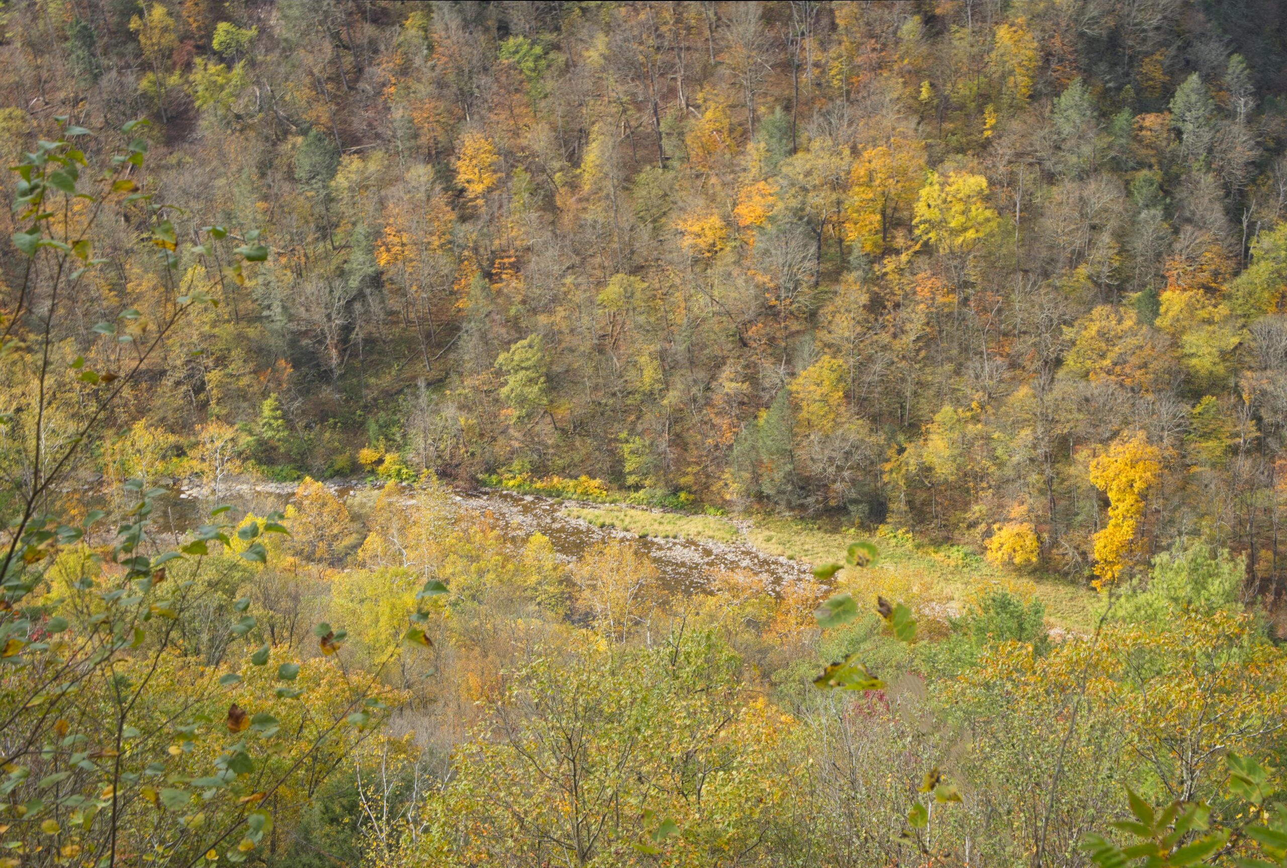
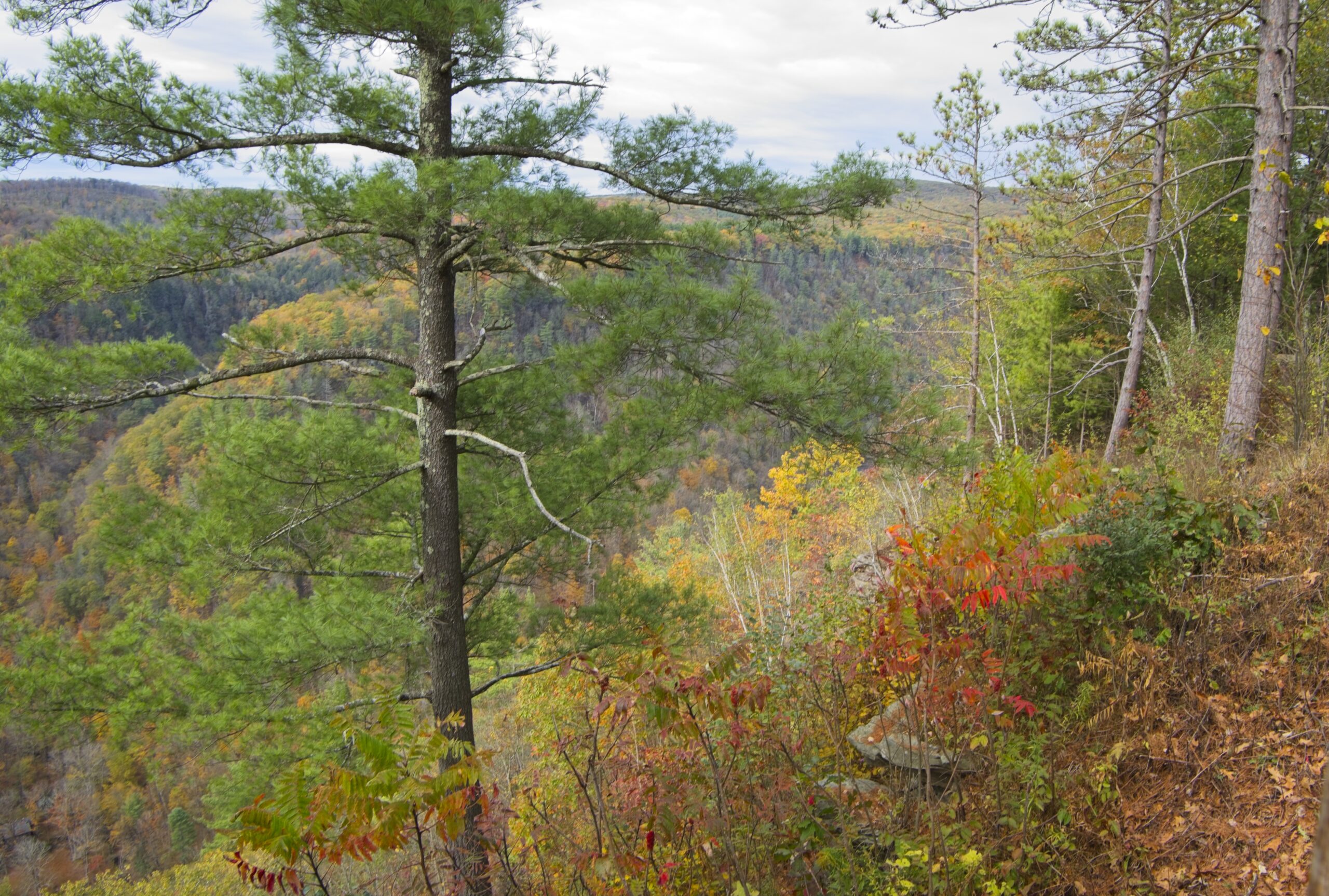
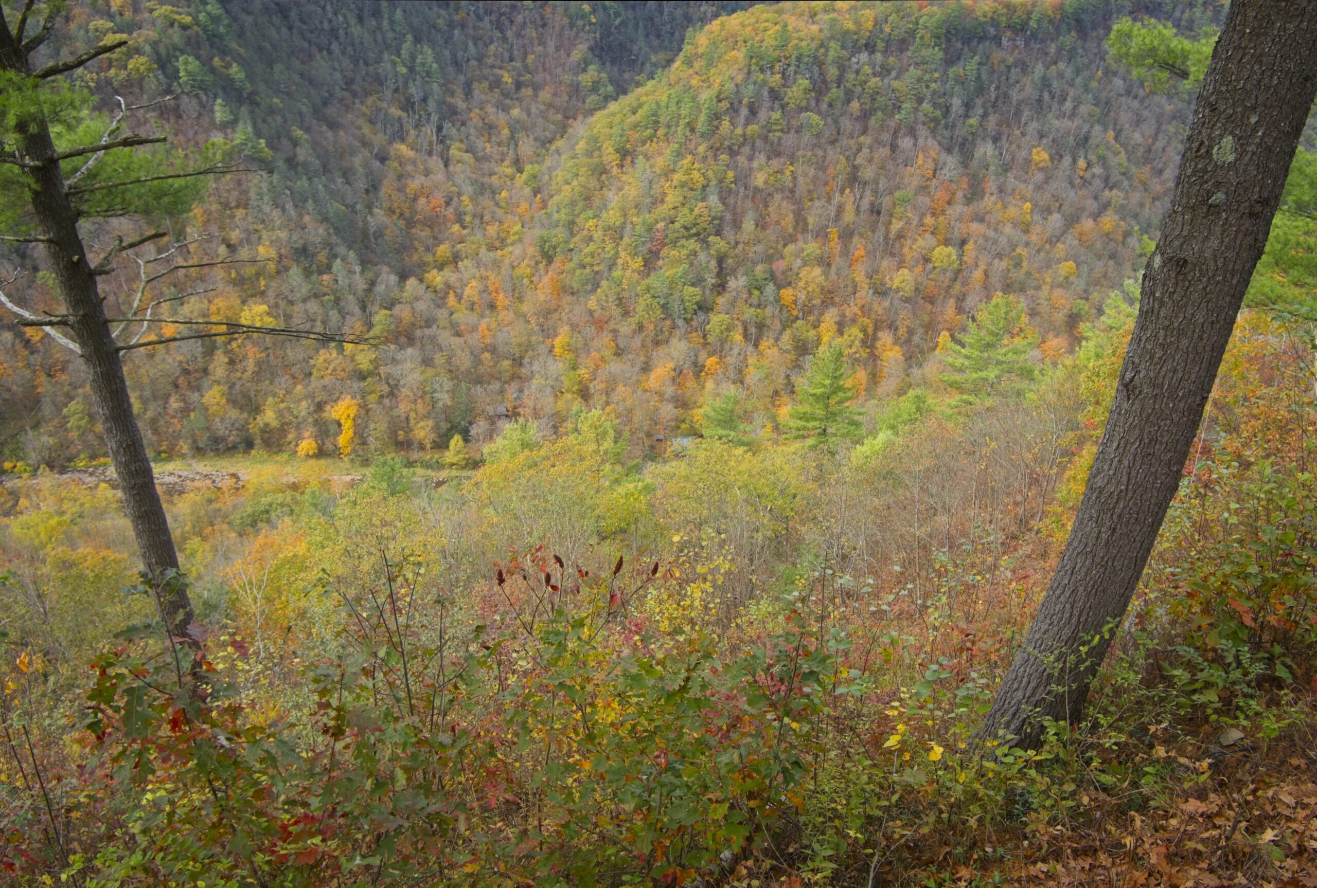
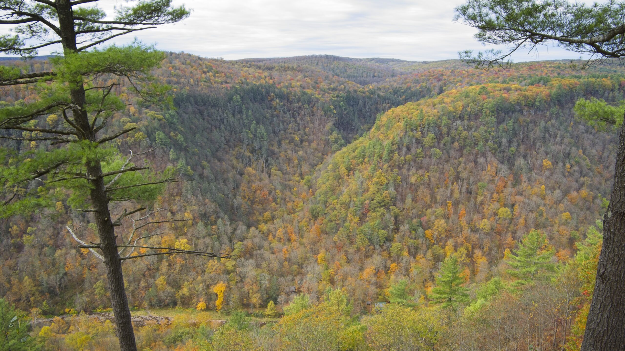
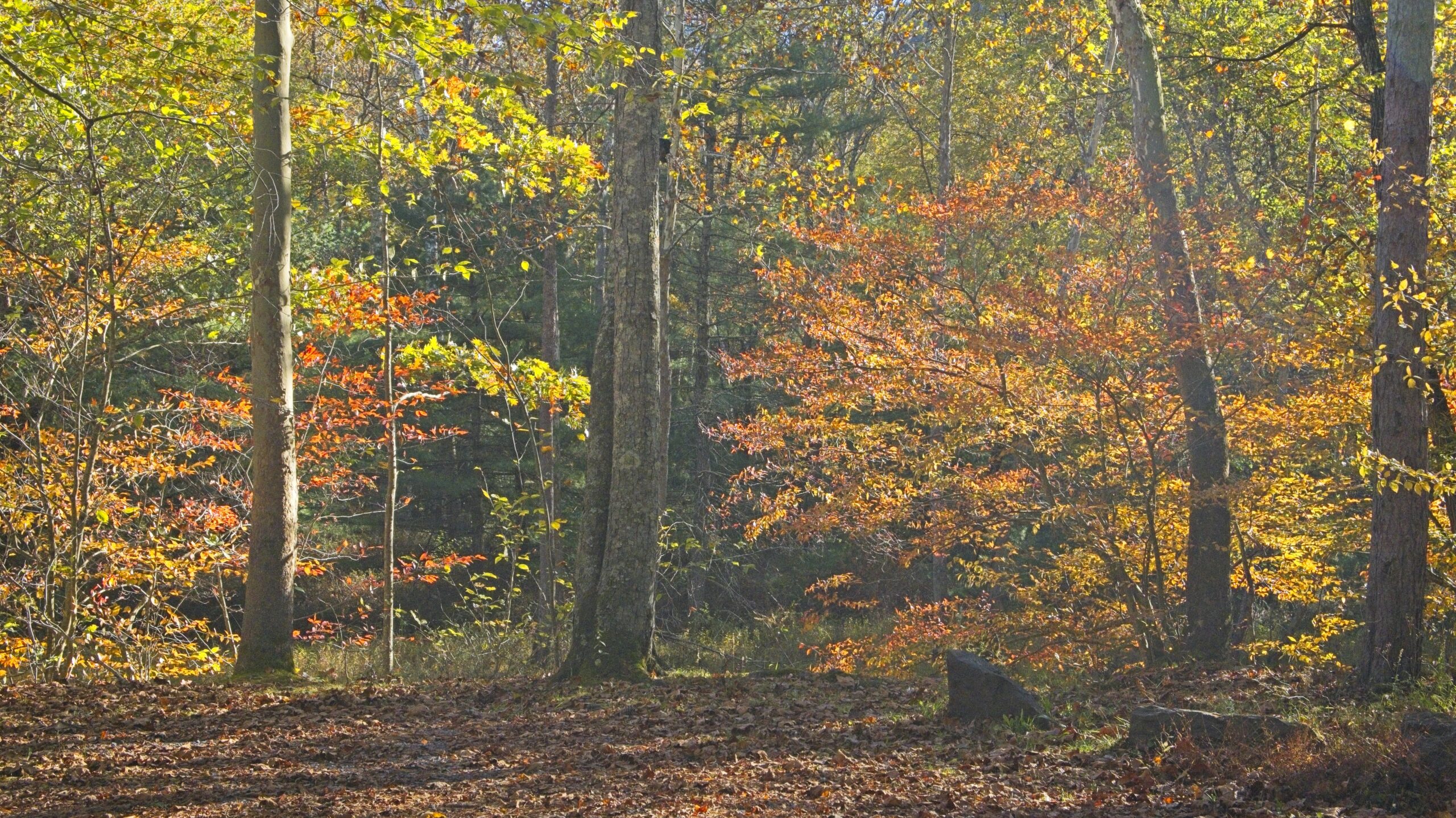
Pine Creek Gorge is a 47-mile (76 km) gorge carved into the Allegheny Plateau by Pine Creek in north-central Pennsylvania. It sits in about 160,000 acres (650 km2) of the Tioga State Forest. The gorge begins south of Ansonia, near Wellsboro, along U.S. Route 6 and continues south. Its deepest point is 1,450 feet (440 m) at Waterville, near the southern end.
The Gorge has the unfortunate nickname of “The Grand Canyon of Pennsylvania.” Not only is this a wild exaggeration, but the area’s unique beauty deserves to stand on its own and does not require comparison. The area most associated with the Gorge is near Leonard Harrison and Colton Point State Parks, where it is more than 800 feet (240 m) deep and the distance rim-to-rim is about 4,000 feet (1,200 m). I visited Leonard Harrison in October.


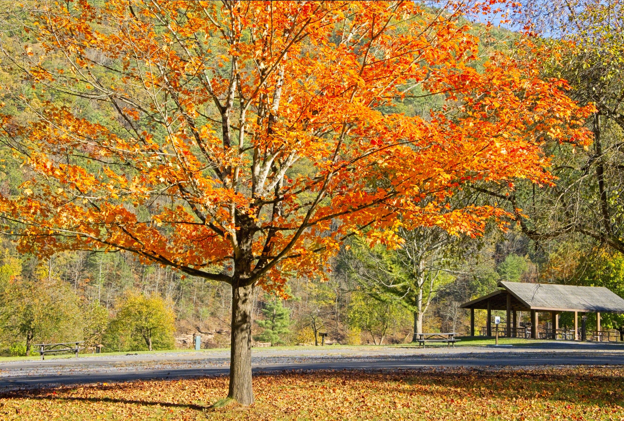
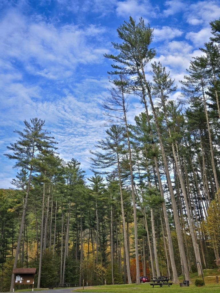
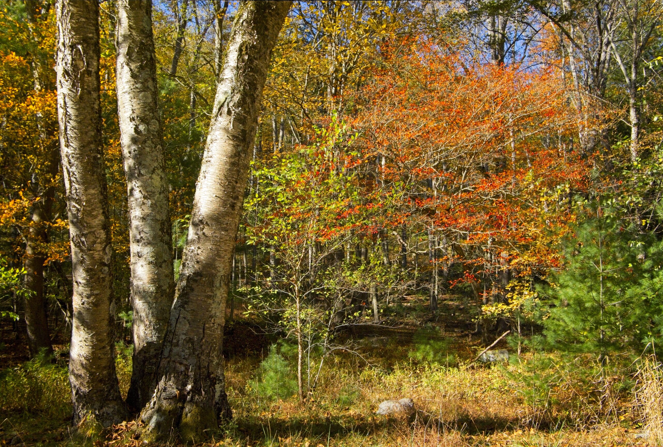
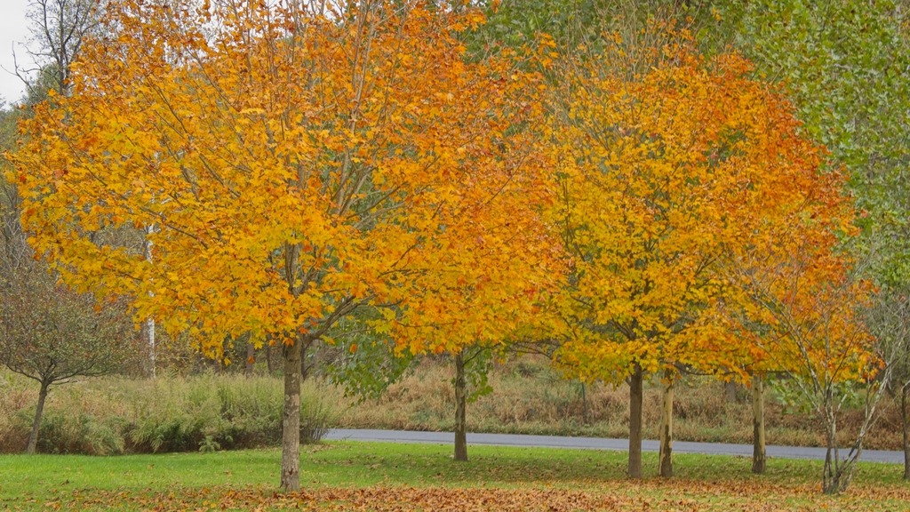
Little Pine State Park has many lovely spots away from the main day use area. The first location going north from Waterville is the Little Pine Lower Picnic Area. On that day, it was showing its fall colors.


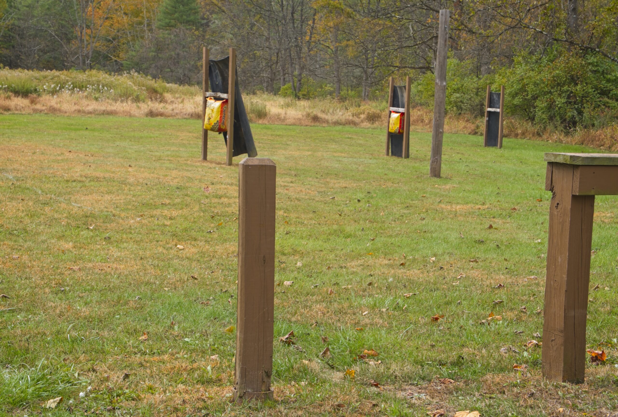
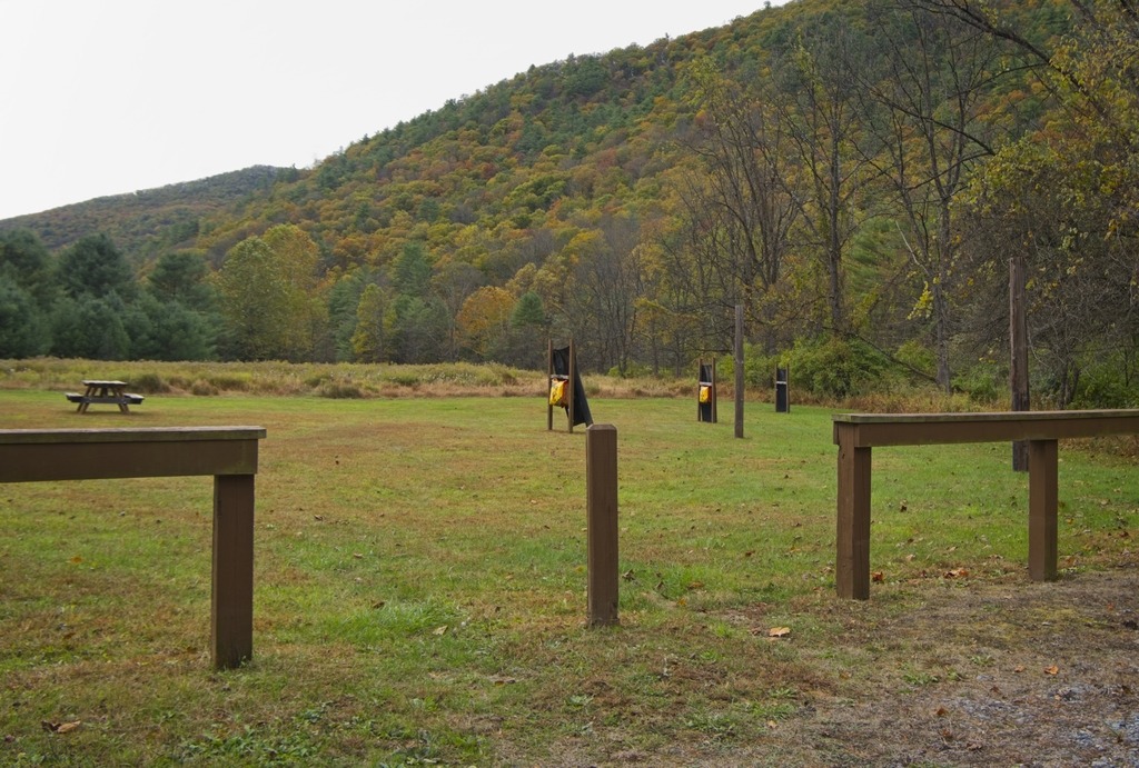
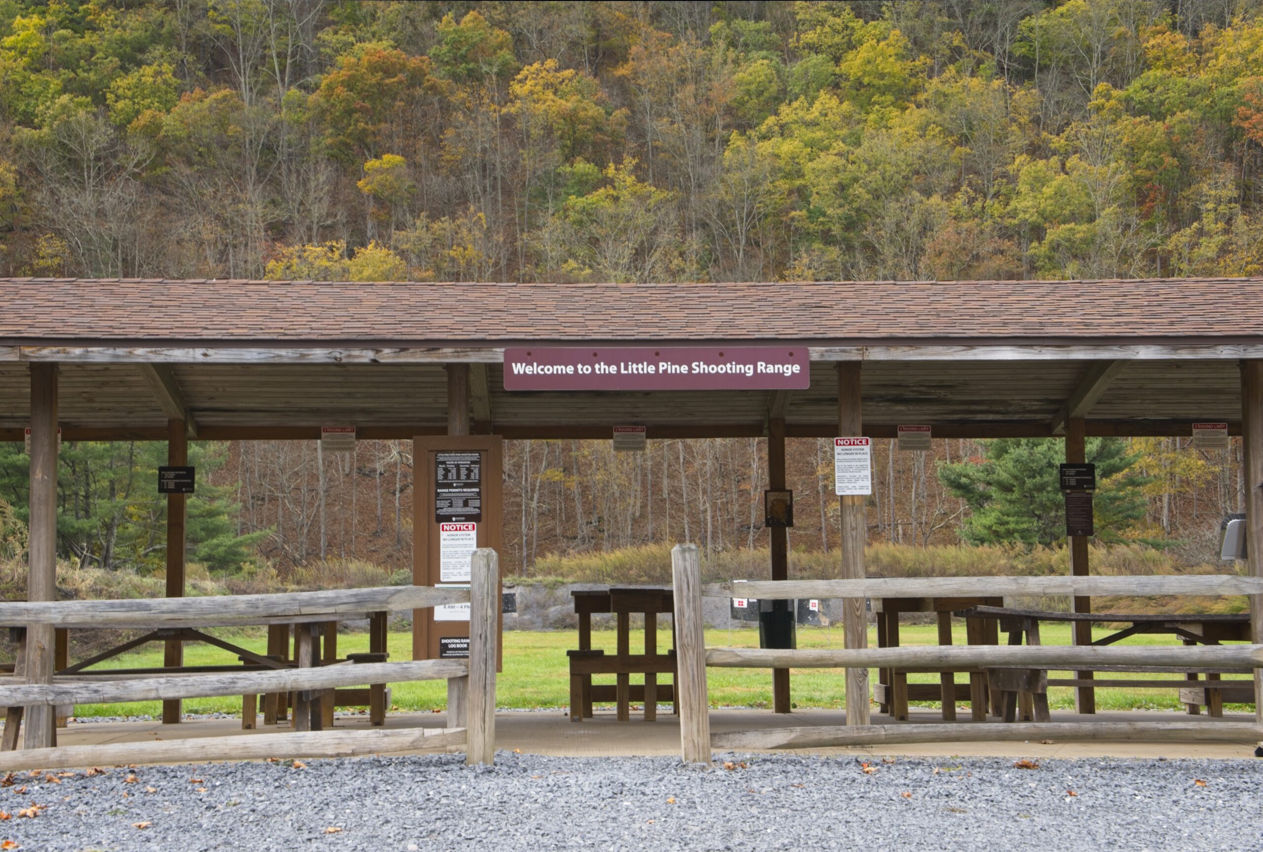
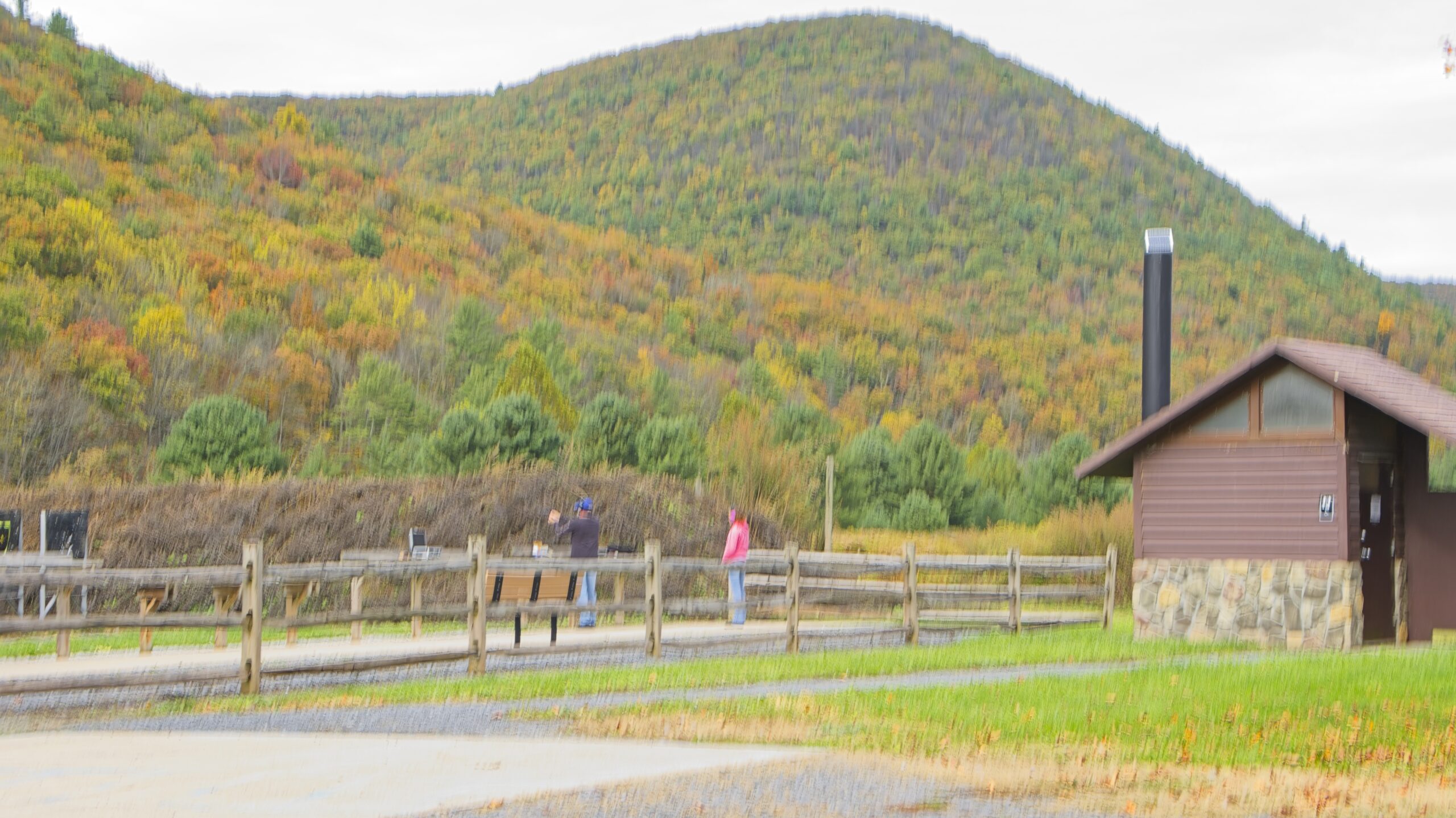
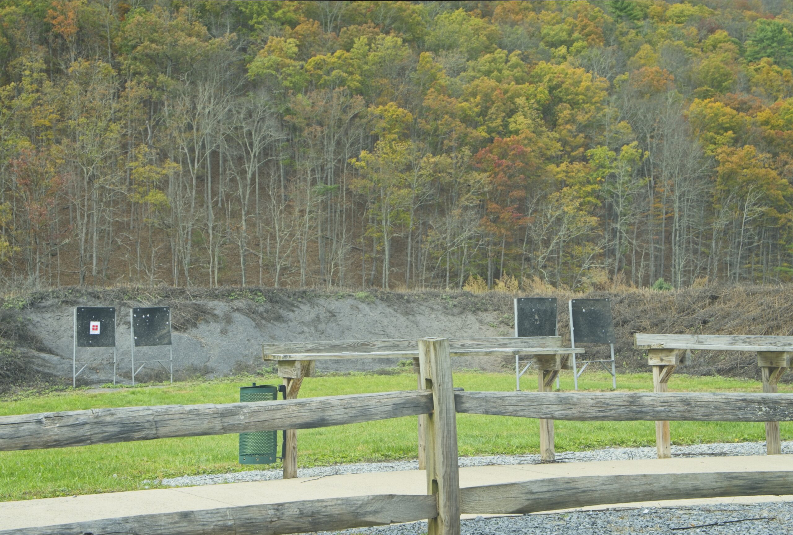
Little Pine State Park also has an archery and a shooting range. to the north of the main day use area. These features are unusual in a Pennsylvania state park.


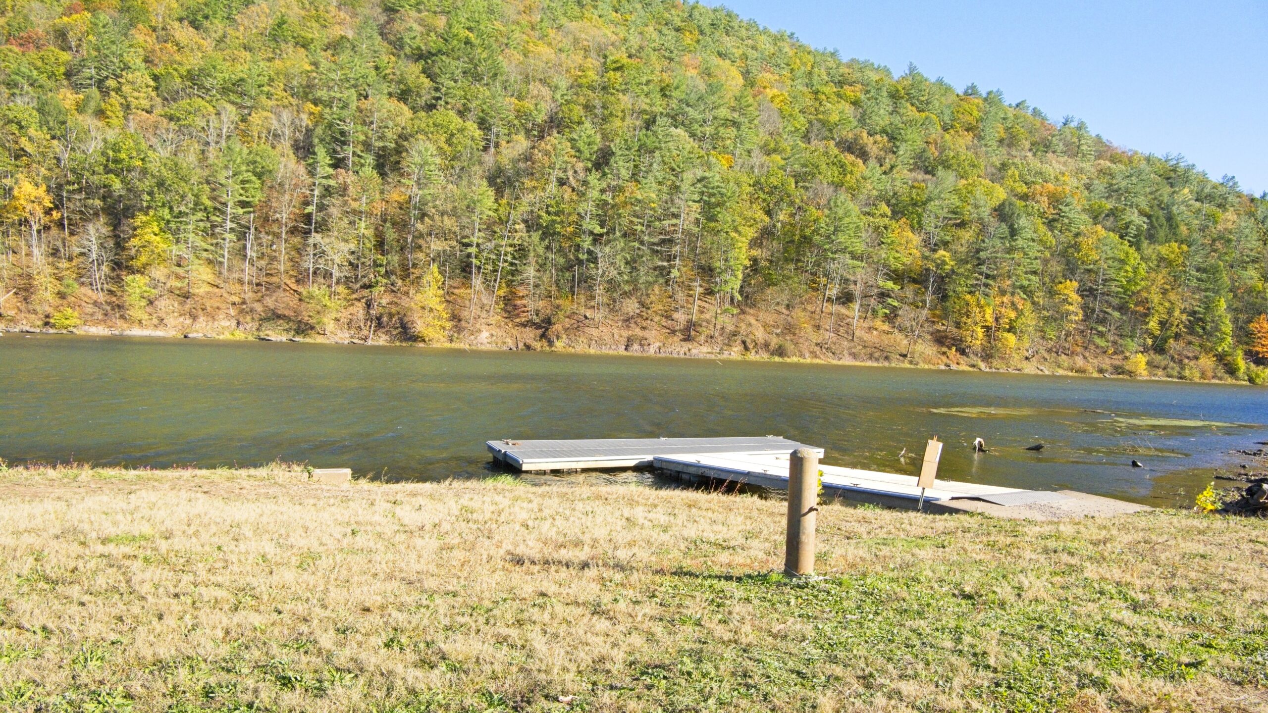
My Autumn destination this October was Little Pine State Park in northern Lycoming County. The 2,158-acre Little park is surrounded by a beautiful mountain section of Tiadaghton State Forest . The 45-acre Little Pine Lake, hiking trails, campground, and nesting bald eagles are prime features of the park, along with nearby access to Pine Creek.
During 1933, the Civilian Conservation Corps (CCC) built Camp S-129-PA and a small picnic area along Little Pine Creek. During 1937, the camp was closed and the property turned over to the Bureau of State Parks. When the park opened, it used many of the CCC buildings. In 1950, a dual-purpose flood control/recreation dam was constructed. The park remained a picnic area until the campground, beach, and swimming area were constructed in 1958. In 1972, Hurricane Agnes flooded and destroyed many park facilities, including all but a few remnants of the former CCC facilities. Hurricane Agnes was the only time water went over the spillway. In 1975-76, federal disaster aid helped build a new beach house, office, maintenance area, and a new campground with modern restrooms. As part of the “Growing Greener” initiative, several major improvements began in 2002, including, enlarging and modernizing the park office and putting showers in the campground.
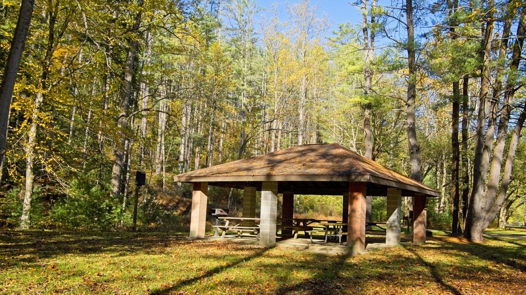
Below are photos of the lake and day use area.