A qucik trip into Lancaster County proved to a source a frustration. A higher level of traffic and lighting challenges did not yield the photographs I had hoped for. However, I took the opportunity to check out the rebuilt Smorgasbord and Restaurant at the Hershey Farm Resort. I had a very nice meal, and I am glad to see the business back in operation after a fire.
Here are some views of eastern Lancaster County in September.
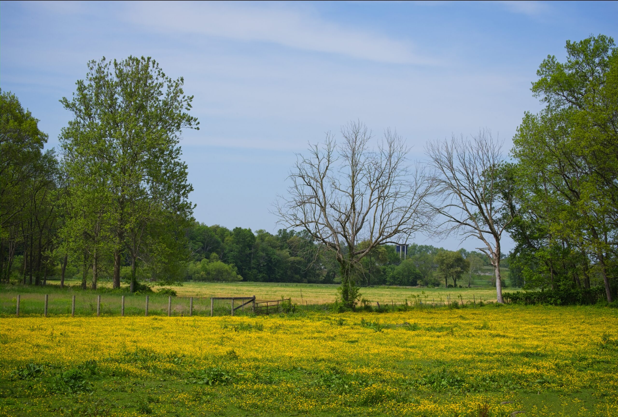
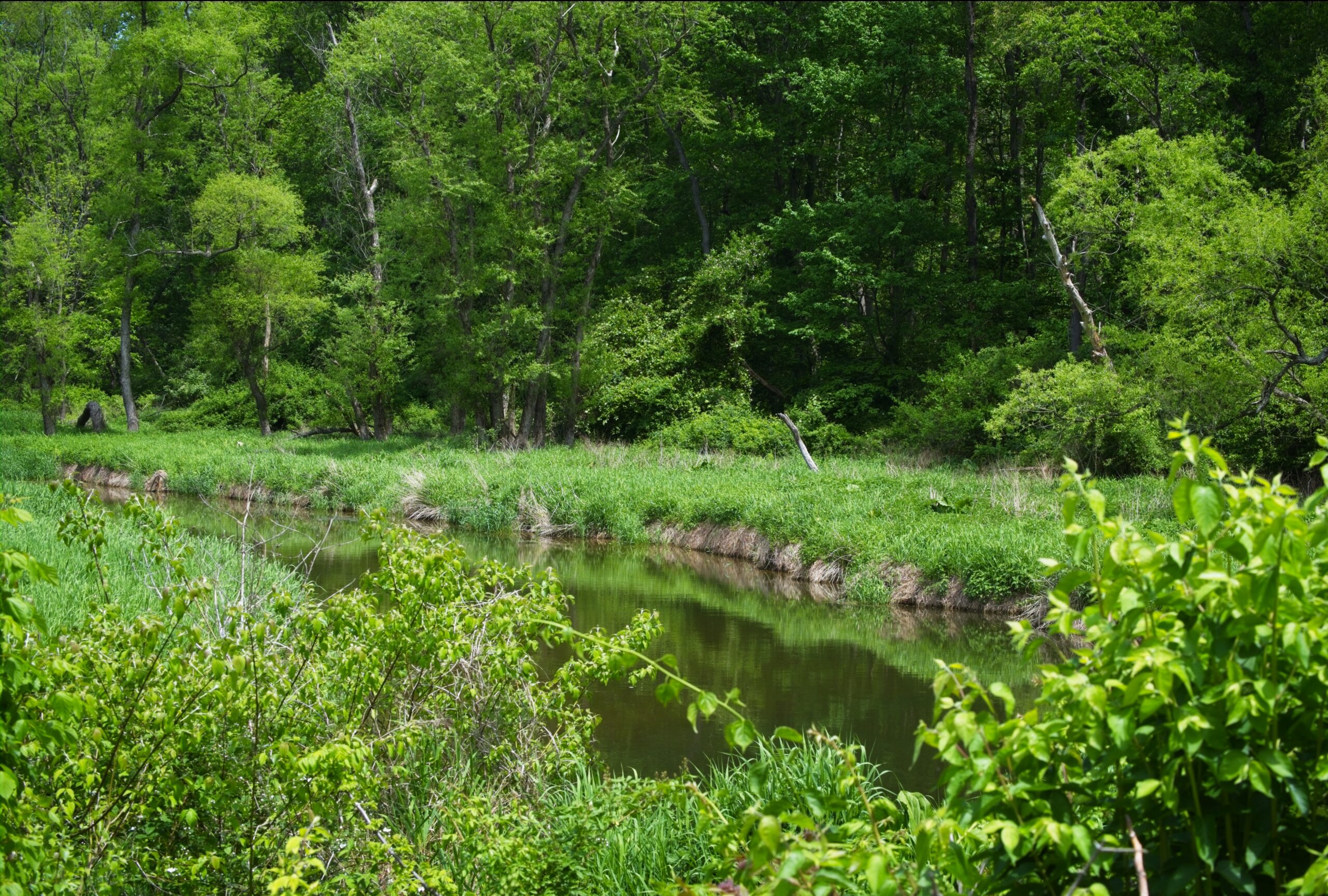
Today’s post takes us back to the area of the Octoraro watershed in southern Chester and Lancaster counties, with a focus on some of the farms and animals of the area.
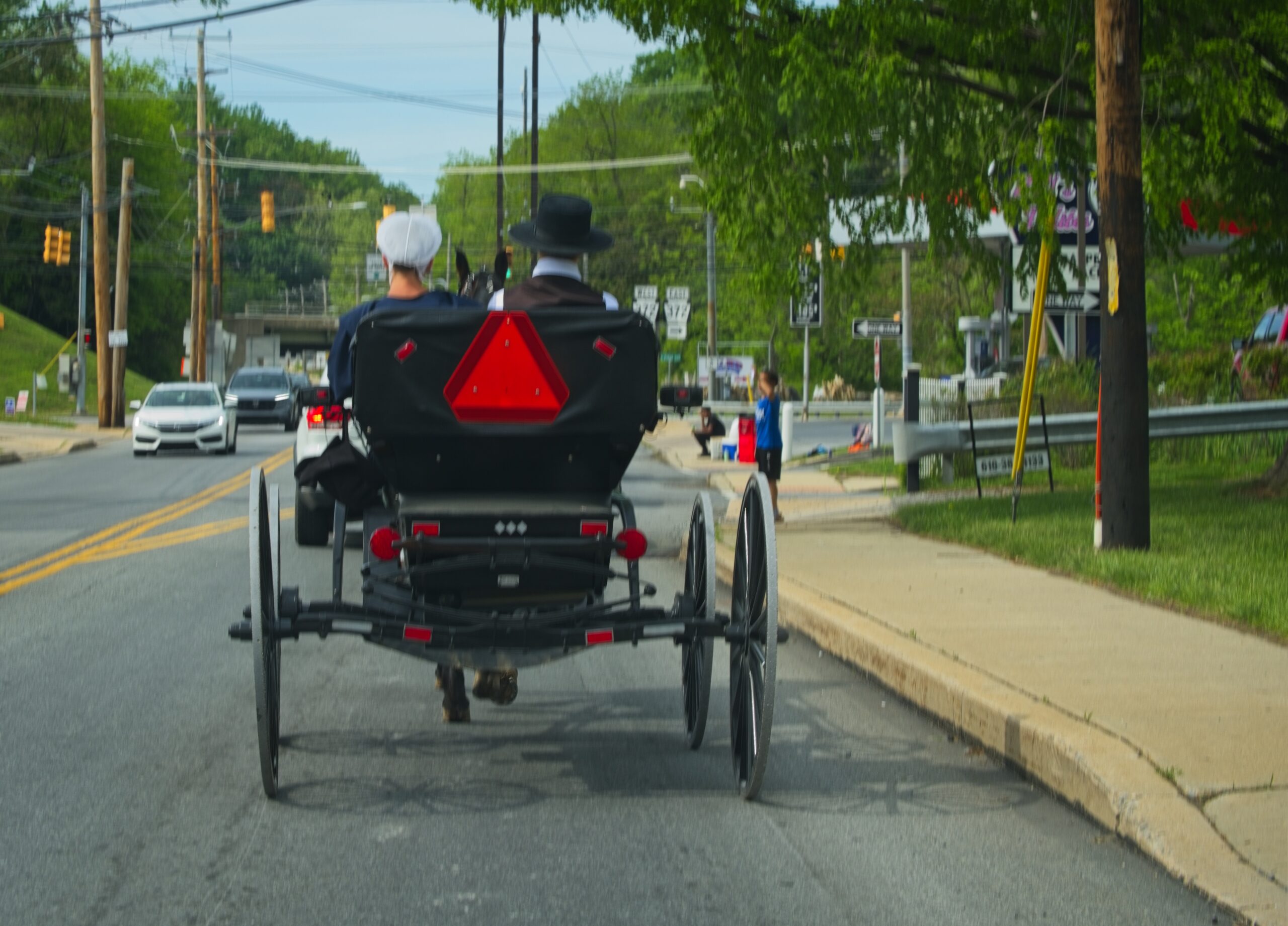
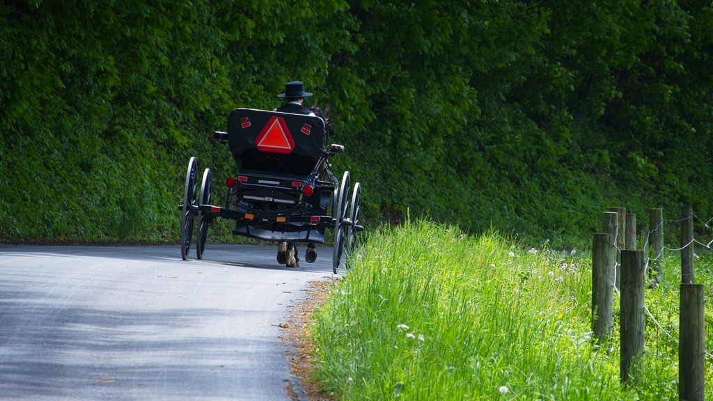
The area around the Octoraro Reservoir and watershed in southern Lancaster and Chester Counties is particularly scenic. The buggies were out in force one Saturday in May.
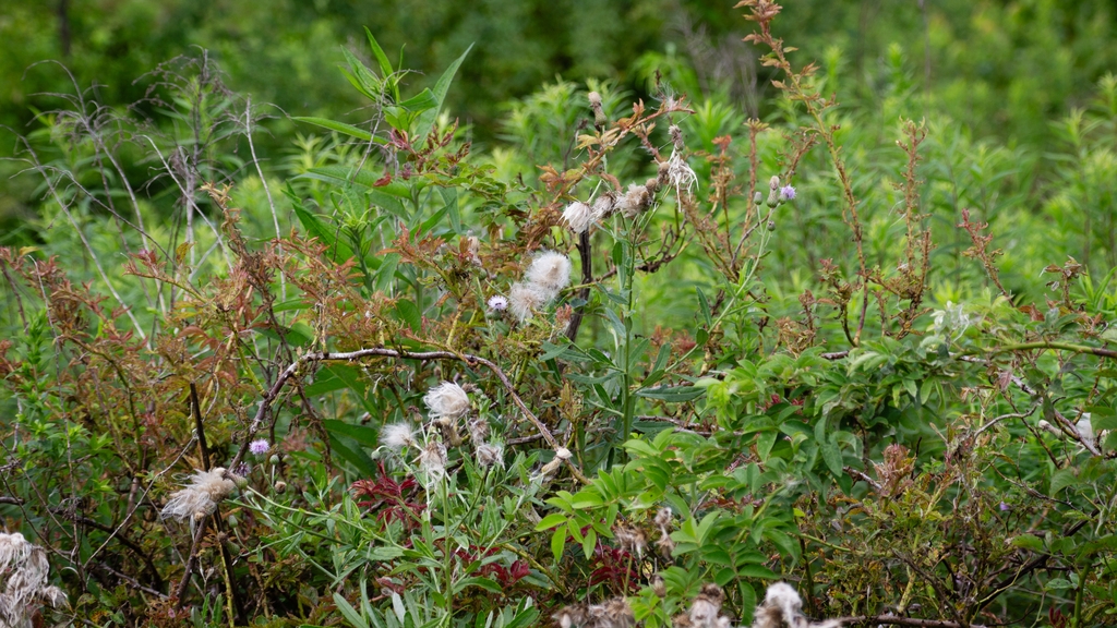
I don’t have much to say about these photos, and I will let them speak for themeselves.
One of my favorite day trips is to Middle Creek Wildlife Management Area, a near 6,000 acre tract managed by the Pennsylvania Game Commission primarily for waterfowl, grassland nesting birds, and wetland dependent species. The facility hosts an interactive visitor center, seasonal wildlife driving tour, and over twenty miles of hiking trails. There are other recreational activities available such as wildlife viewing, boating, special hunts, and picnicking. Middle Creek is one of just six Globally Important Bird Areas in the state and straddles Lancaster and Lebanon counties.
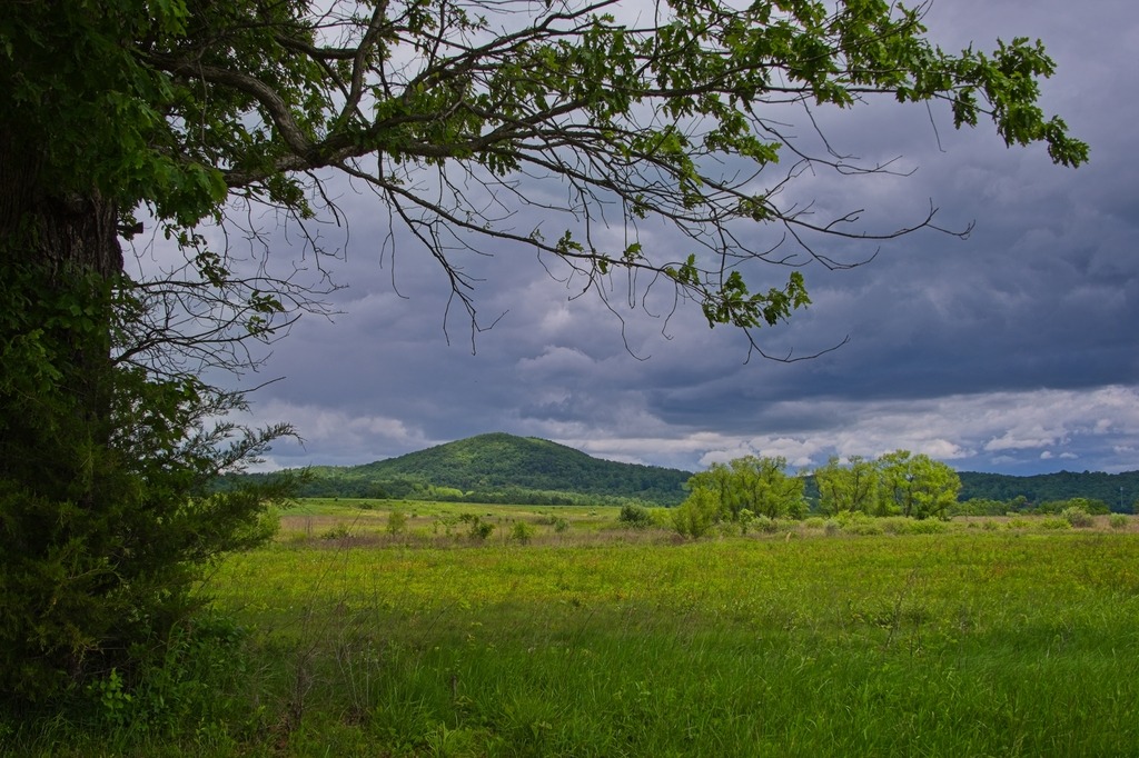
I particularly like the view of these hills from the wildlife driving tour road.
This tree swallow doesn’t seem to like me.It was fun to see this rabbit near the road.It was even better when a friend joined.
Lancaster County on a lovely Spring day provides beautiful views of flowers and flowering trees. The tree buds in the local woodlands also create more color than one might expect.
The local farms are also getting into the swing of things for the upcoming growing season.
Christiana is a borough in Lancaster County, Pennsylvania, United States. Present-day Christiana was once known as Nobleville. The present name is after Christiana Noble, the wife of a first settler. It is notable as the site of the Christiana railroad depot, constructed by the Pennsylvania Railroad.
In 1851, the town was the site of the Battle of Christiana, also called the Christiana riot. On September 11, 1851, Christiana was the site of the Battle of Christiana (also called the Christiana Riot), in which the local residents defended with firearms a fugitive slave, killing the slaveowner. Southerners demanded the hanging of those responsible, who were accused of treason and making war on the United States, but after the first defendant was acquitted, the government dropped the case. The trial was the first nationally covered challenge to the Fugitive Slave Act of 1850. Today, the town is the sight of the Christiana Underground Railway Center.
Underground Railroad Center – hours are seasonal so check before heading out.
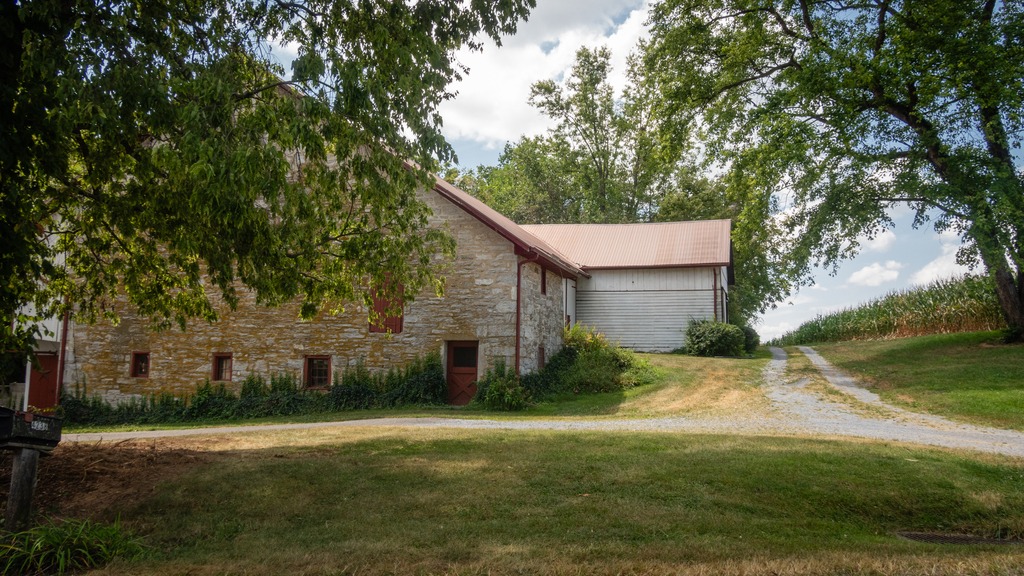
Some other views from the town and the surrounding area:
A trip to Middle Creek in late summer led to some unexpected viewing. I went in search of a Hudsonian Godwit, but found something else entirely. First up was this group of horses, hitched to a fence with no riders in sight:
I then spied this wedding party (perhaps Mennonite?) near the visitors center.
An finally, that Hudsonian Godwit and some Canada Geese with an interloper Great Egret.
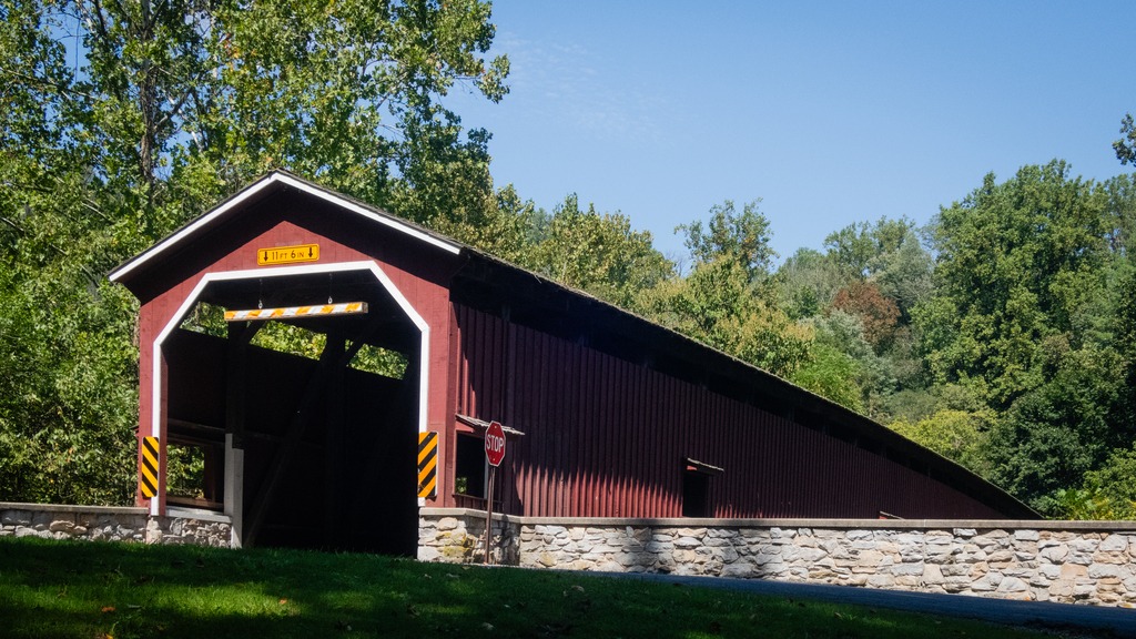
The trek around Lancaster County’s to view its covered bridges continues. This post will contain looks at quite a few of the bridges in the western part of the county with some nearby views. First are pair of bridges that are quite close to each other.
Forry’s Mill Covered Bridge is a covered bridge that spans Chiques Creek in West Hempfield. A county-owned and maintained bridge, its official designation is the Big Chiques #7 Bridge. The bridge has a single span, wooden, double Burr arch trusses design with the addition of steel hanger rods. The deck is made from oak planks. The bridge’s WGCB Number is 38-36-28. In 1980 it was added to the National Register of Historic Places as structure number 80003512. Forry’s Mill Covered Bridge was originally built in 1869 by Elias McMellen for a cost of $2969. The bridge required repairs in 1925 to its sides and floor.
Its partner is Seigrist’s Mill Covered Bridge, an 88-foot (27 m), Burr Arch Truss covered bridge over Chiques Creek between Rapho and West Hempfield Townships. Owned and maintained by the county, its official designation is the Big Chiques #6 Bridge. The bridge’s World Guide to Covered Bridges Number is 38-36-37. It was listed on the National Register of Historic Places as structure number 80003513 in 1980. The bridge is less than a mile away from the Forry’s Mill Covered Bridge. The bridge was built in 1885 by James C. Carpenter. It was named after the Siegrist family who lived nearby.
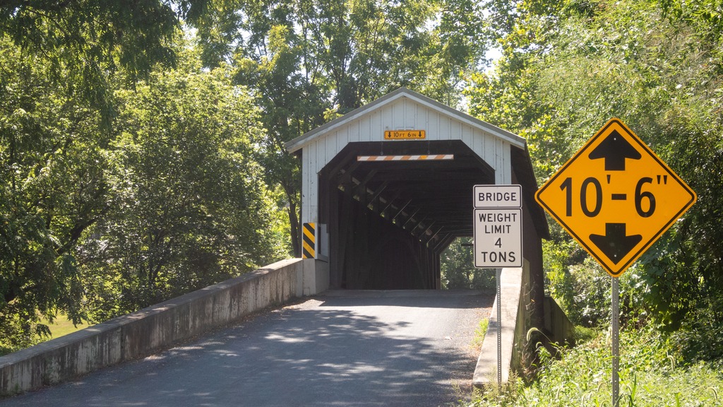
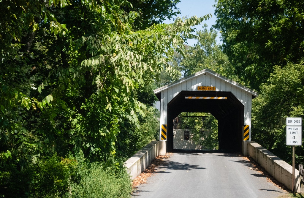
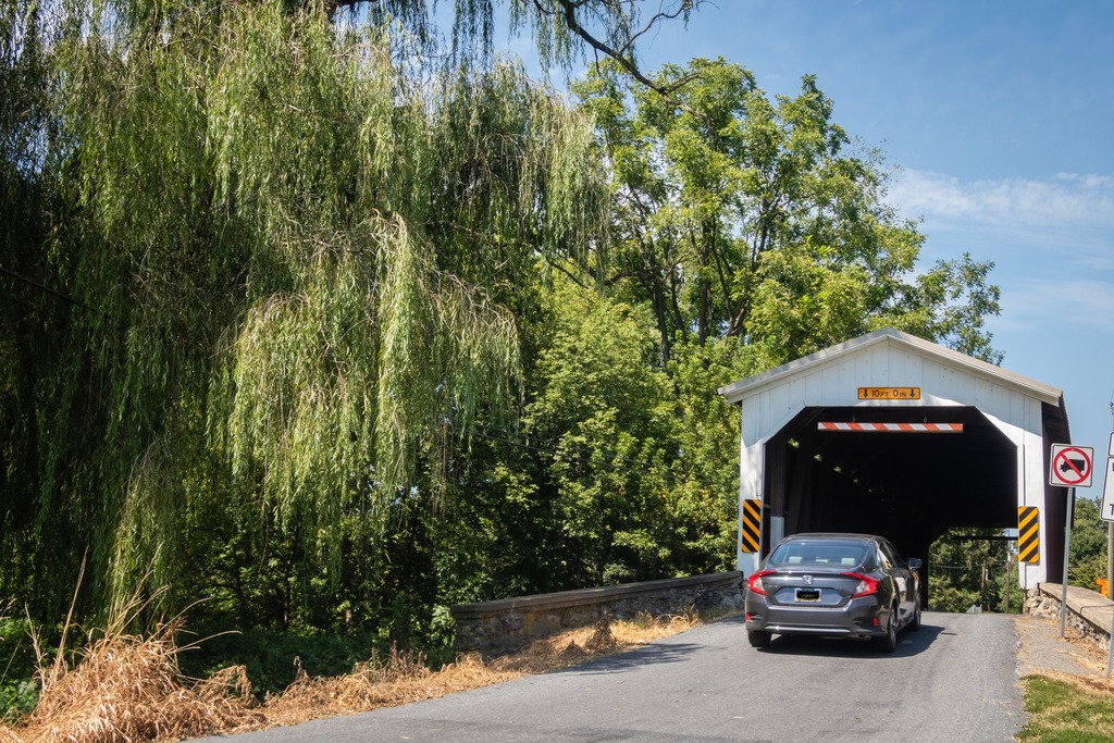
Heading farther south, we come across a trio of bridges on Pequea Creek. The Colemanville Covered Bridge spans the Creek. After Hunsecker’s Mill Covered Bridge, it is Lancaster County’s second-longest single-span covered bridge still in use. It is also referred to as the Martic Forge Covered Bridge and Pequea #12 Bridge. The bridge has a single span, wooden, double Burr arch trusses design with the addition of steel hanger rods. The deck is made from oak planks. The bridge’s WGCB Number is 38-36-26. In 1980, it was added to the National Register of Historic Places as structure number 80003534. The Colemanville Covered Bridge was originally built in 1856 by James C. Carpenter at a cost of $2,244. After being damaged twice by flooding, it was partially rebuilt in 1938 by Edmund Gardner and in 1973 by David Esh. Lancaster county completely rebuilt the bridge in 1992 for $350,000. During the restoration process the bridge was raised by 6 feet (1.8 m) and moved west a few feet to protect it from damage in potential future flooding.
Baumgardener’s Covered Bridge is a covered bridge that also spans Pequea Creek. A county-owned and maintained bridge, its official designation is the Pequea #10 Bridge. The bridge has a single span, wooden, double Burr arch trusses design with the addition of steel hanger rods. The deck is made from oak planks. The bridge’s WGCB Number is 38-36-25. It was listed on the National Register of Historic Places on December 11, 1980. Baumgardener’s Covered Bridge was built in 1860 by Davis Kitch at a cost of $1,284. In 1987 the bridge was restored after it was damaged in a flood the previous year. During this restoration process, which cost $200,000, the bridge was raised by 4 feet (1.2 m) and lengthened by 9 feet (2.7 m) to protect it from damage in potential future flooding.
Finally, we come to Lime Valley Covered Bridge, which spans Pequea Creek. A county-owned and maintained bridge, its official designation is the Pequea #8 Bridge. The bridge has a single span, wooden, double Burr arch trusses design with the addition of steel hanger rods. The deck is made from oak planks.
The bridge’s WGCB Number is 38-36-23. Added in 1980, it is listed on the National Register of Historic Places as structure number 80003535. It was built in 1871 by either Joseph Cramer or Elias McMellen at a cost of $3,500. The bridge was a twin to another covered bridge built in 1857 by Silas Wolverton that was located 200 ft (61 m) to the west of the Lime Valley Covered Bridge.
Before we head to western Pennsylvania, let’s take a look at some shots from a nice Spring day in Lancaster County. It was a good day for photography, the sun was shining and the cows seemed happy.