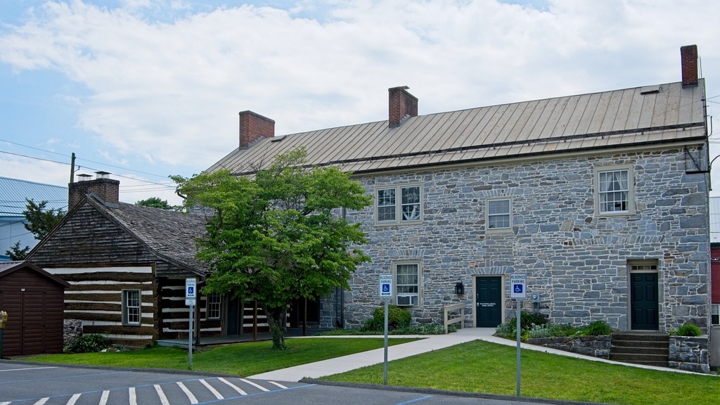
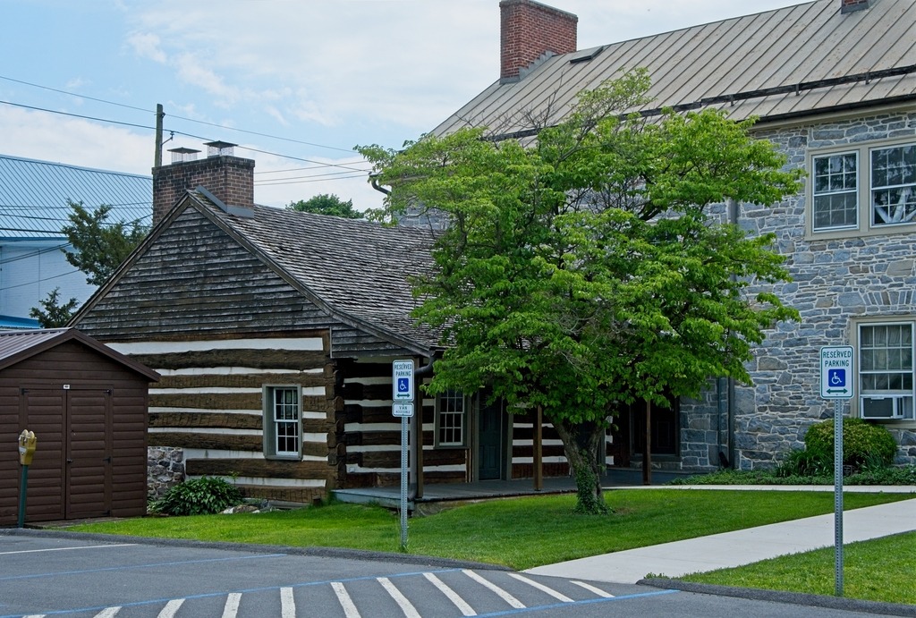
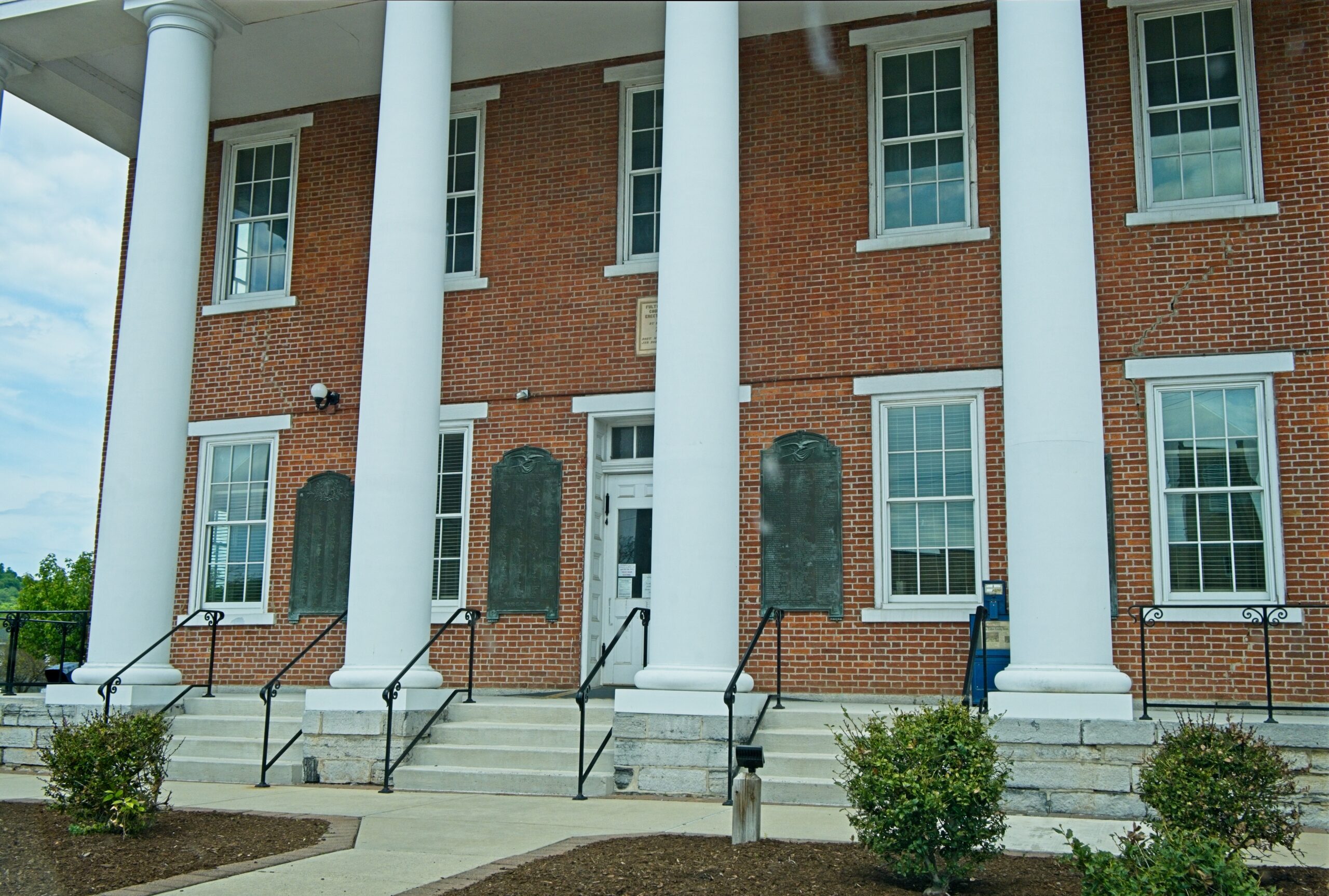
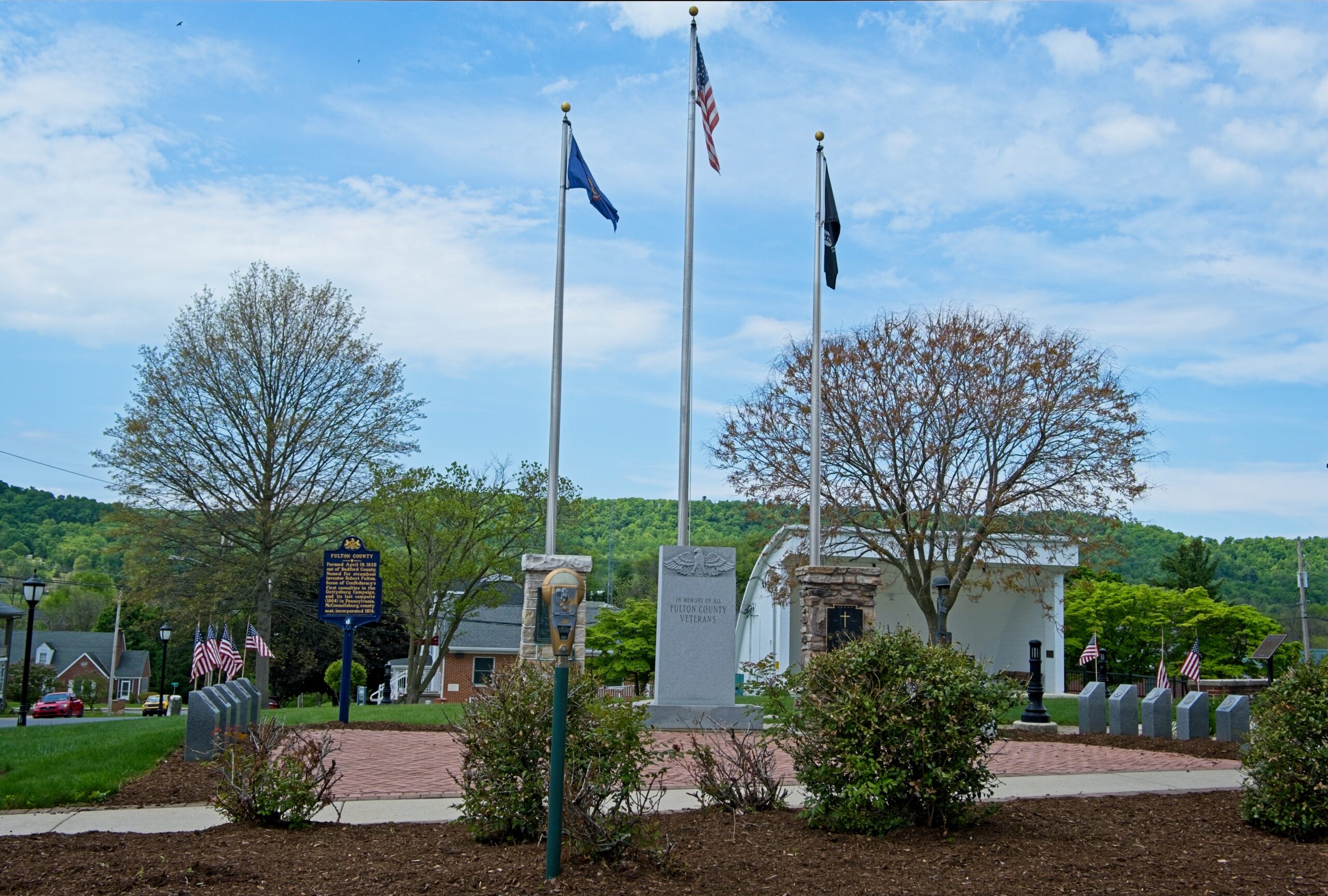
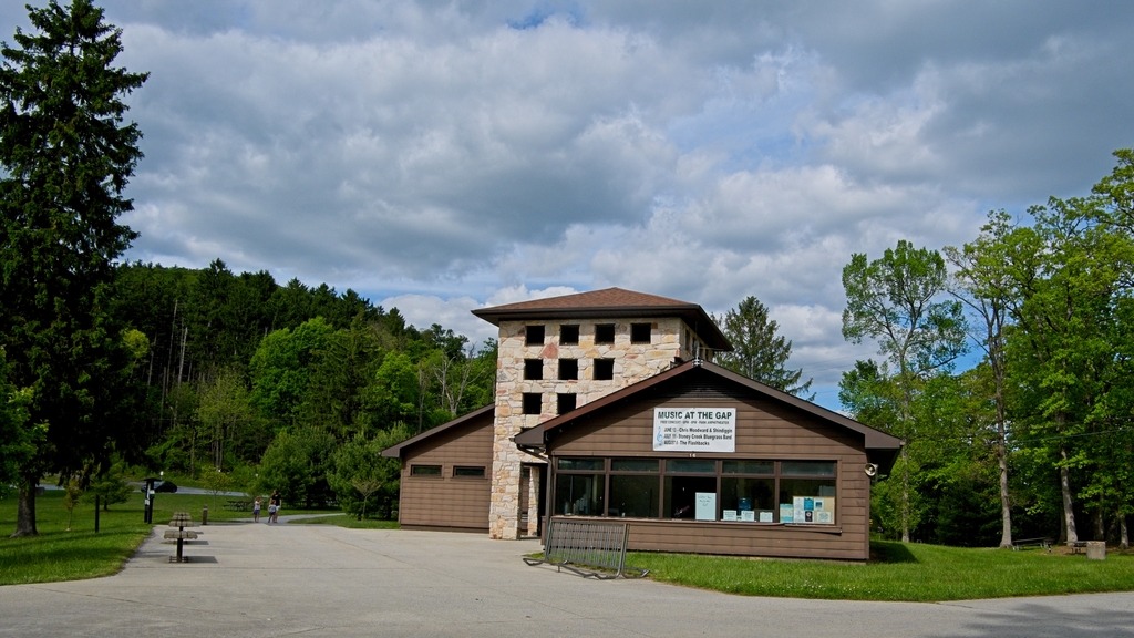
I took a drive into McConnellsburg, which is the county seat of Fulton County, The population was 1,150 at the time of the 2020 census. The McConnellsburg Historic District was recognized by the United States Department of the Interior in 1993 when it was listed in the National Register of Historic Places. The district consists of 144 structures that contribute to its historic character. Of note are the numerous taverns, inns, automotive garages and other travel-related structures still in existence today, which includes the Fulton House, the Fulton County Courthouse, and the log cabin of Daniel McConnell, who laid out the borough on April 20, 1786 (which was further incorporated on March 26, 1814).
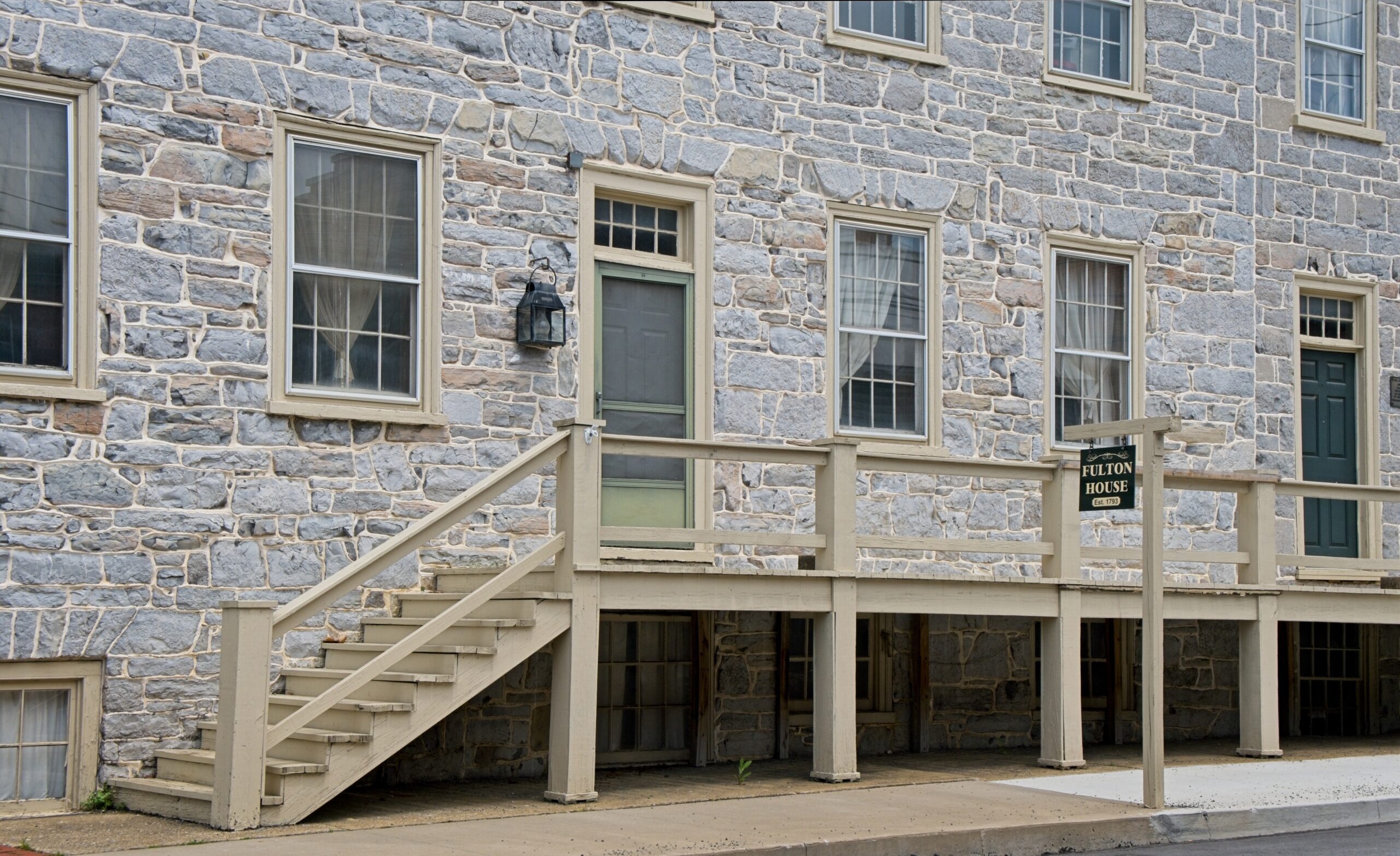
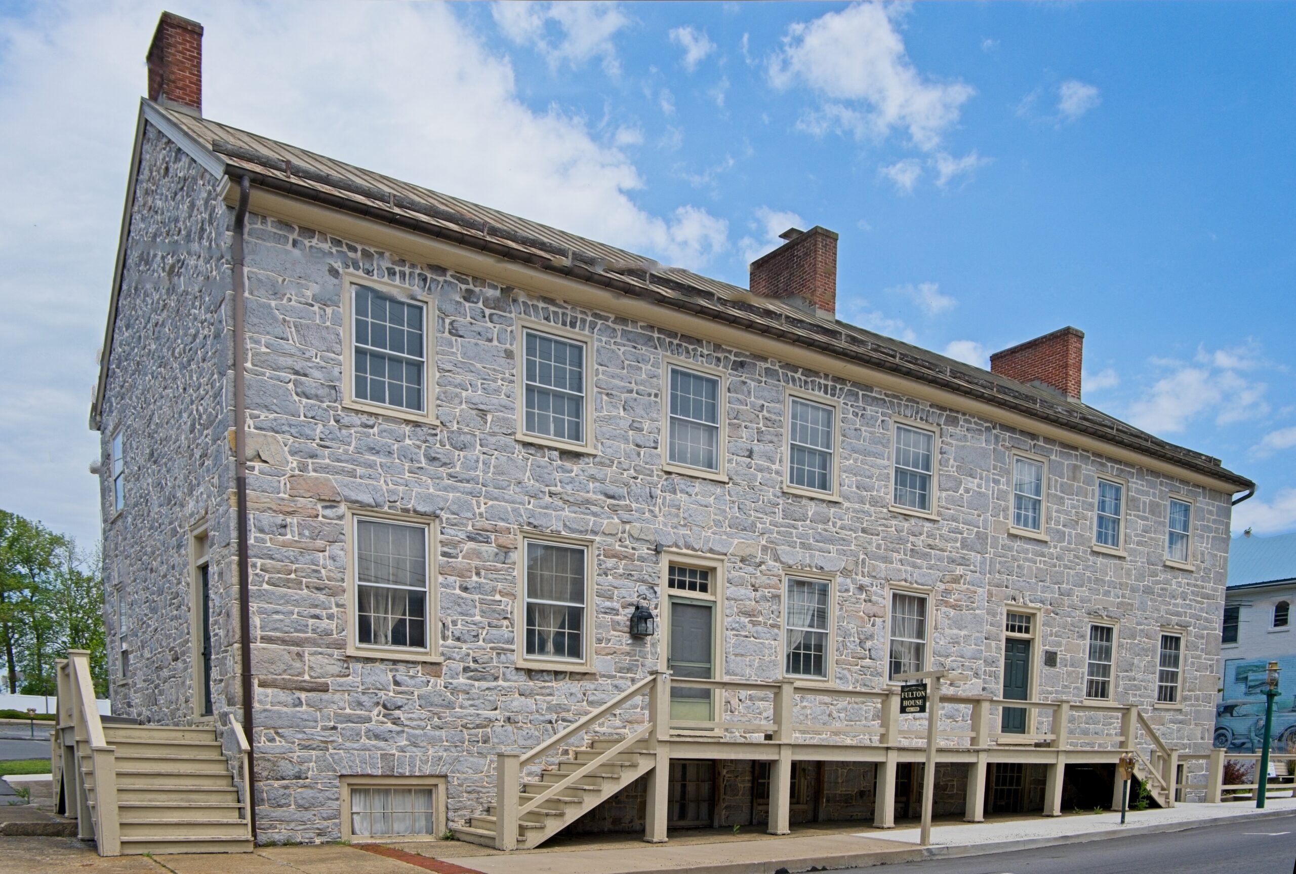
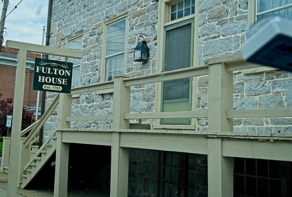
The Fulton House, located at 112-114 Lincoln Way East, was built in 1793 as an inn and tavern and was expanded in 1820. It was constructed by the town founder, Daniel McConnell, and was a major stop for travelers headed west. It has hosted noted people (including presidents), was involved in two incursions of the confederacy, and nearly burned to the ground in 1944. It was later restored and and purchased by the Borough of McConnellsburg. The original log cabin kitchen was built circa 1770 and was later restored. The museum shows furnishings, tools, utensils, and decorative items relating to the cultural and material heritage of Fulton County from the 18th, 19th, and 20th centuries.