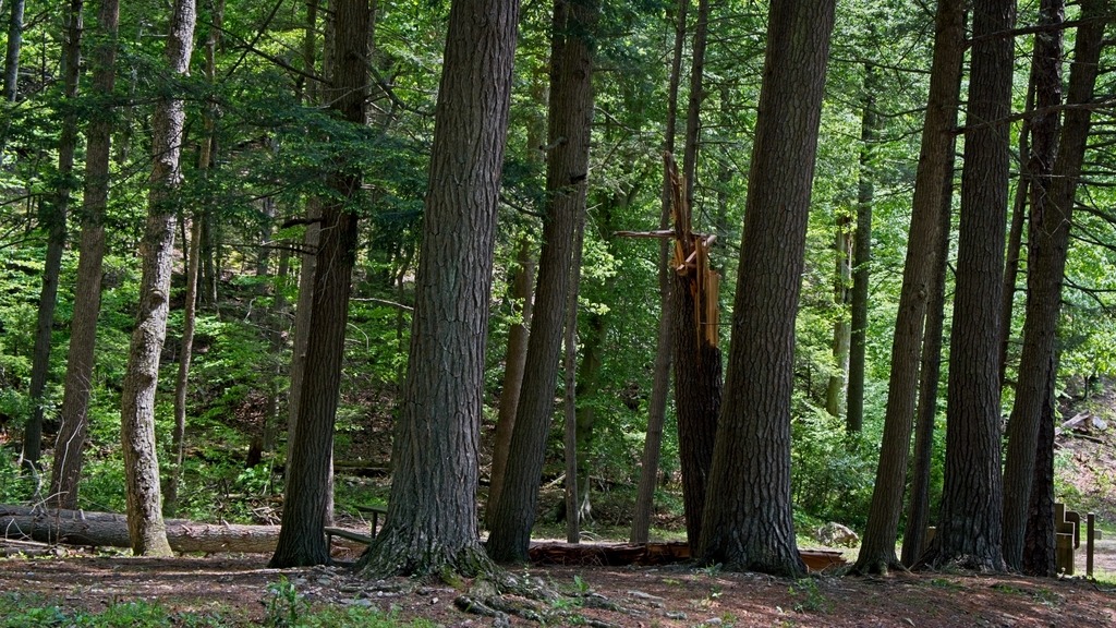
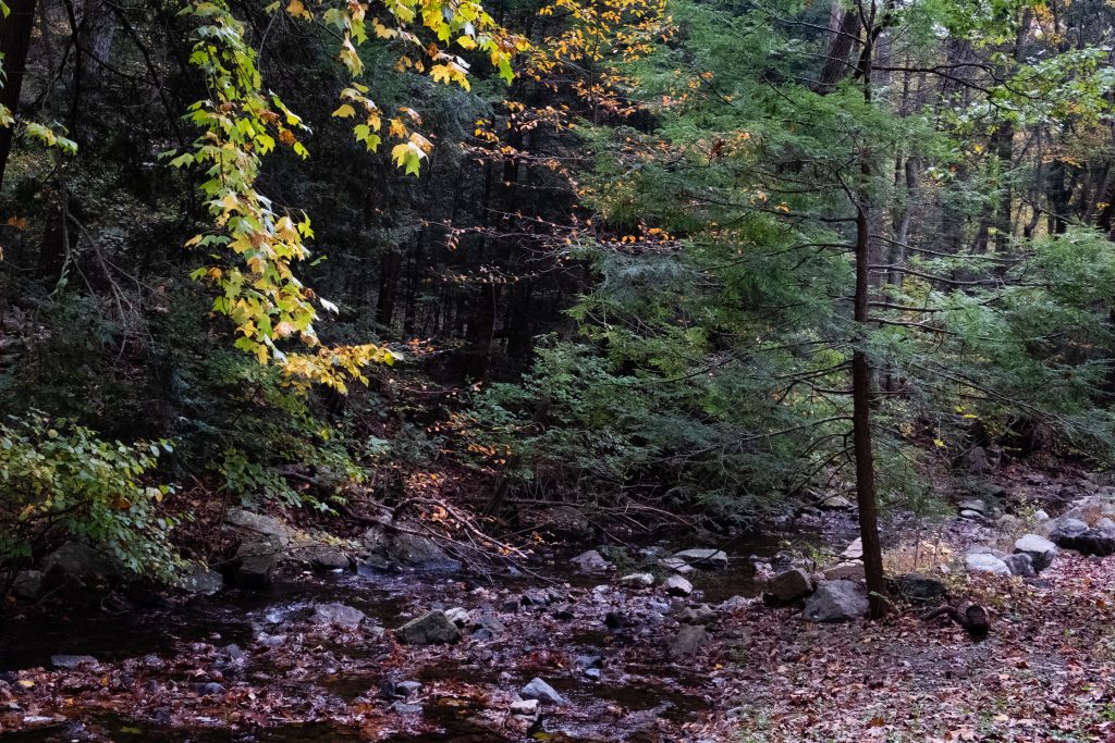
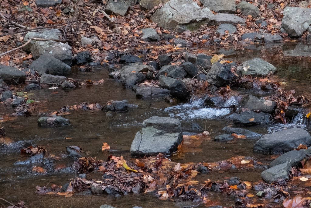
Buchanan’s Birthplace State Park is an 18.5-acre park nestled in a gap of Tuscarora Mountain in Franklin County. Today, the area is still a quiet place, but on April 23, 1791, at the time of James Buchanan’s birth, Cove Gap was on the western edge of civilization — a place alive with the sights and sounds of a center of commerce. Although the surrounding Allegheny Mountains provided a formidable barrier to those seeking the way to the west, Cove Gap cut through two of the three parallel mountains, making the westward journey a little easier. During those days, anyone seeking a route west passed through this gap and by the last mercantile store for many miles.
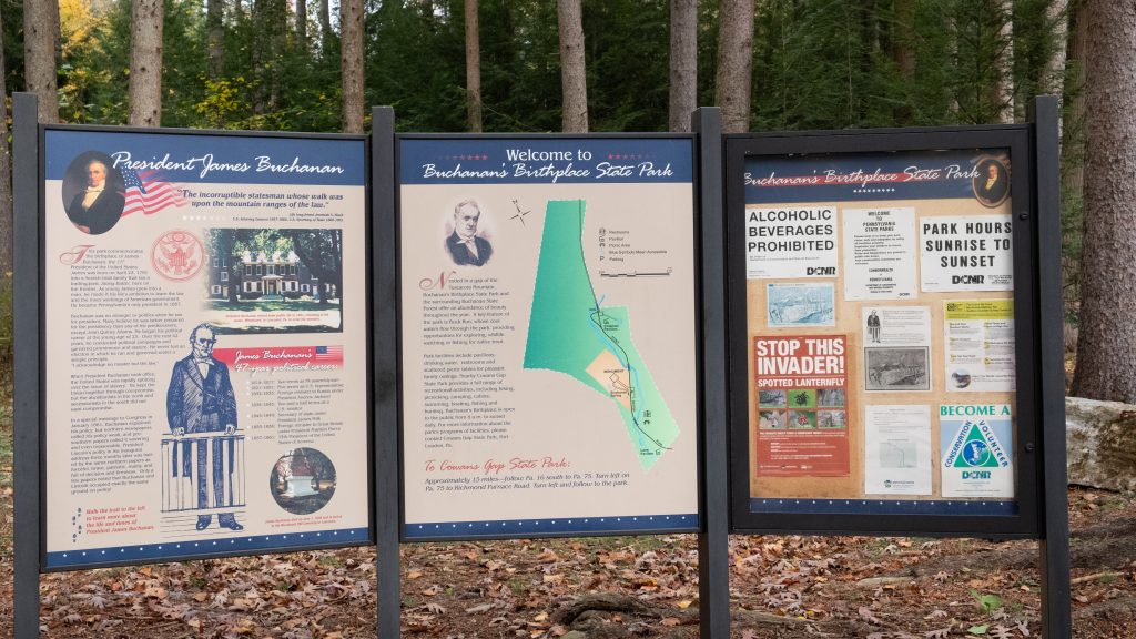
The park today provides historical interpretive signage and opportunities for picnicking and fishing. I previously visited the park, which is featured in this post.
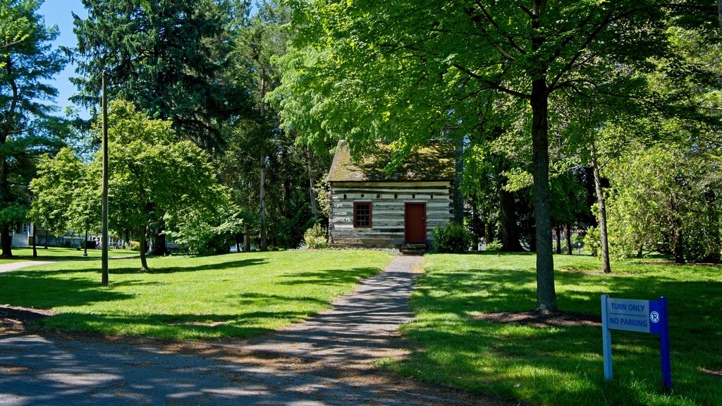
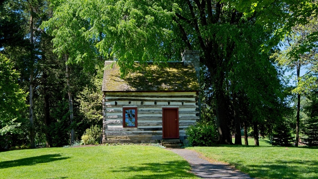
The James Buchanan Cabin (believed to be the birthplace of the first Pennsylvanian to be elected president of the United States) was originally located at the site. It was erected sometime before 1791. The cabin was moved to Chambersburg, where it served various uses. To ensure that the cabin would be adequately stored and maintained, Mercersburg Academy purchased it in 1953 and placed it near Nolde Gymnasium on campus.
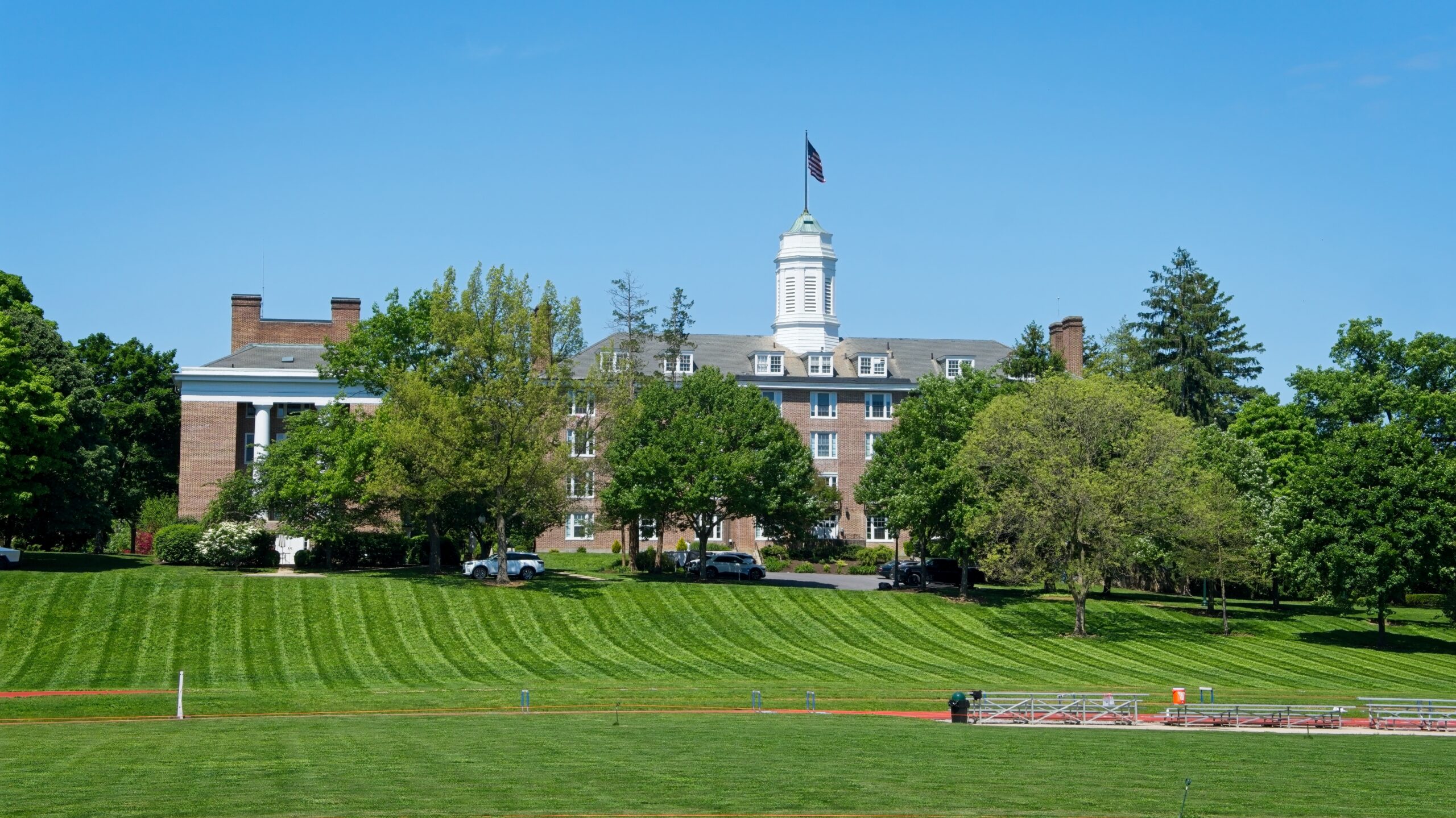
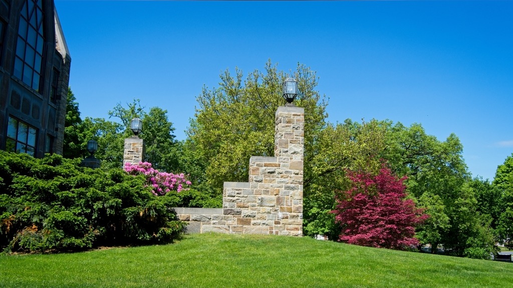
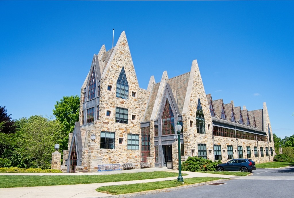
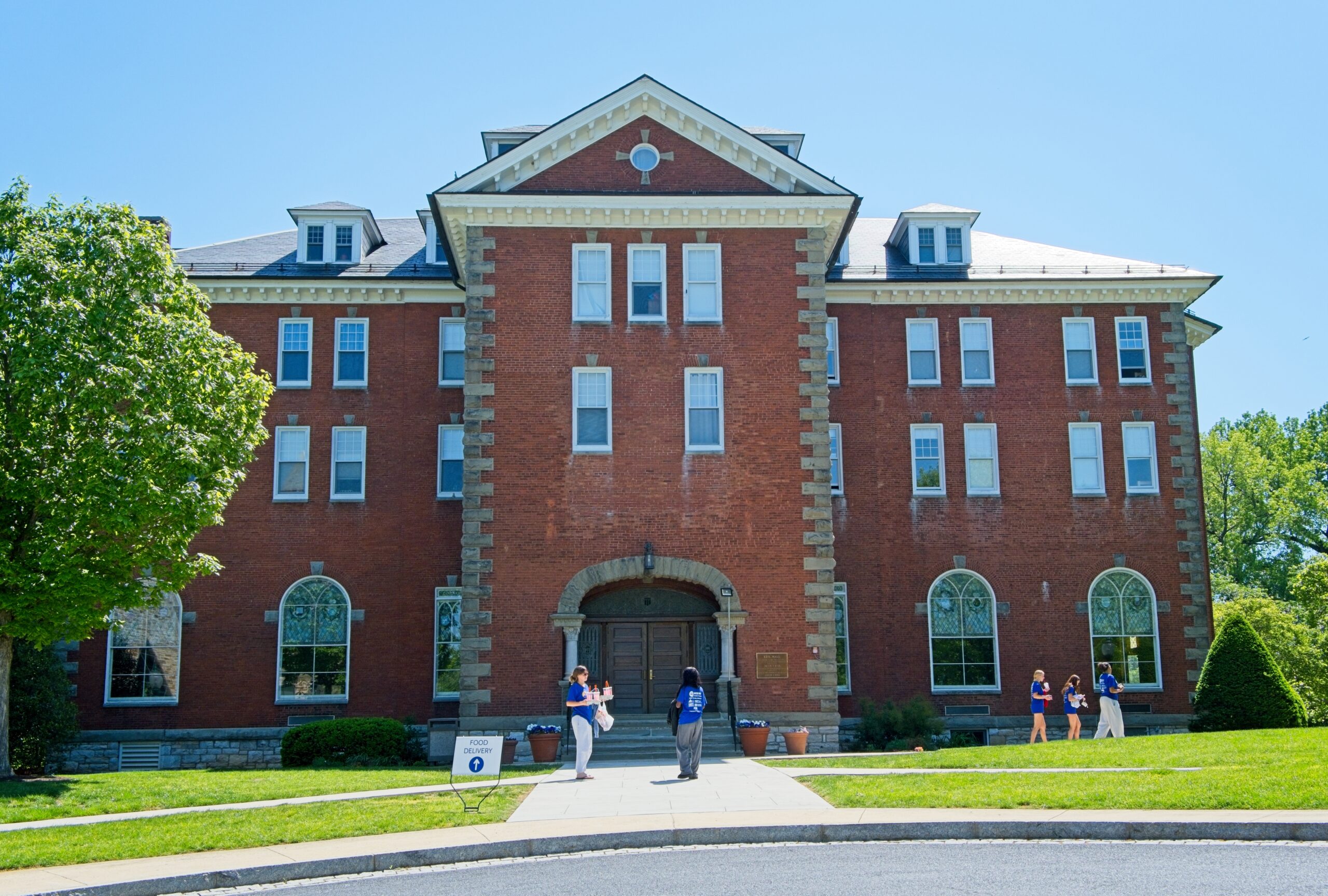
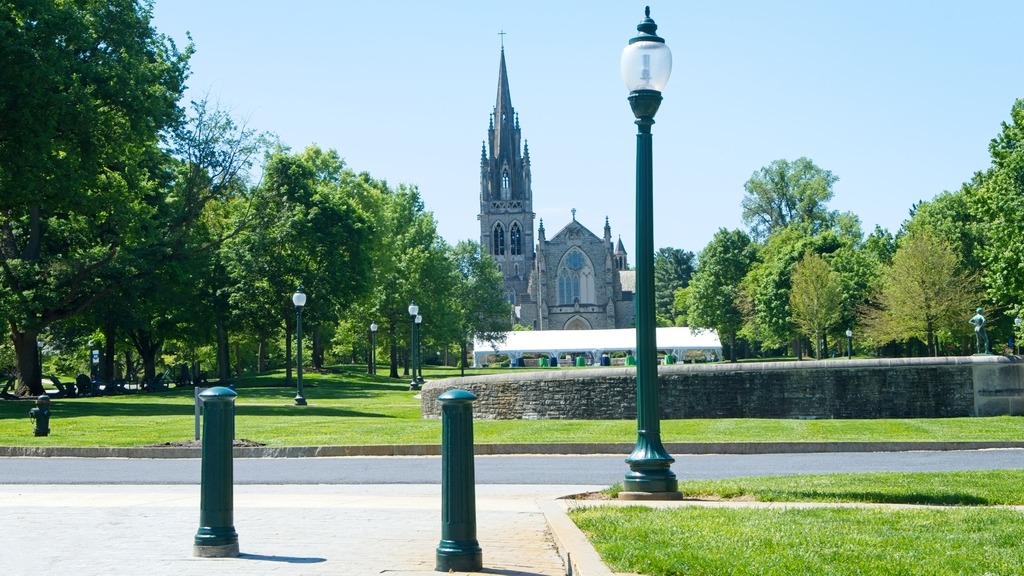
Mercersburg Academy (formerly Marshall College and Mercersburg College) is an independent college-preparatory boarding and day high school. Founded in 1893, the school enrolls approximately 447 students in grades 9 through 12, including postgraduates. Among its illustrious alumni are James Stewart anb Benicio del Toro. It has a lovely and impressive campus.
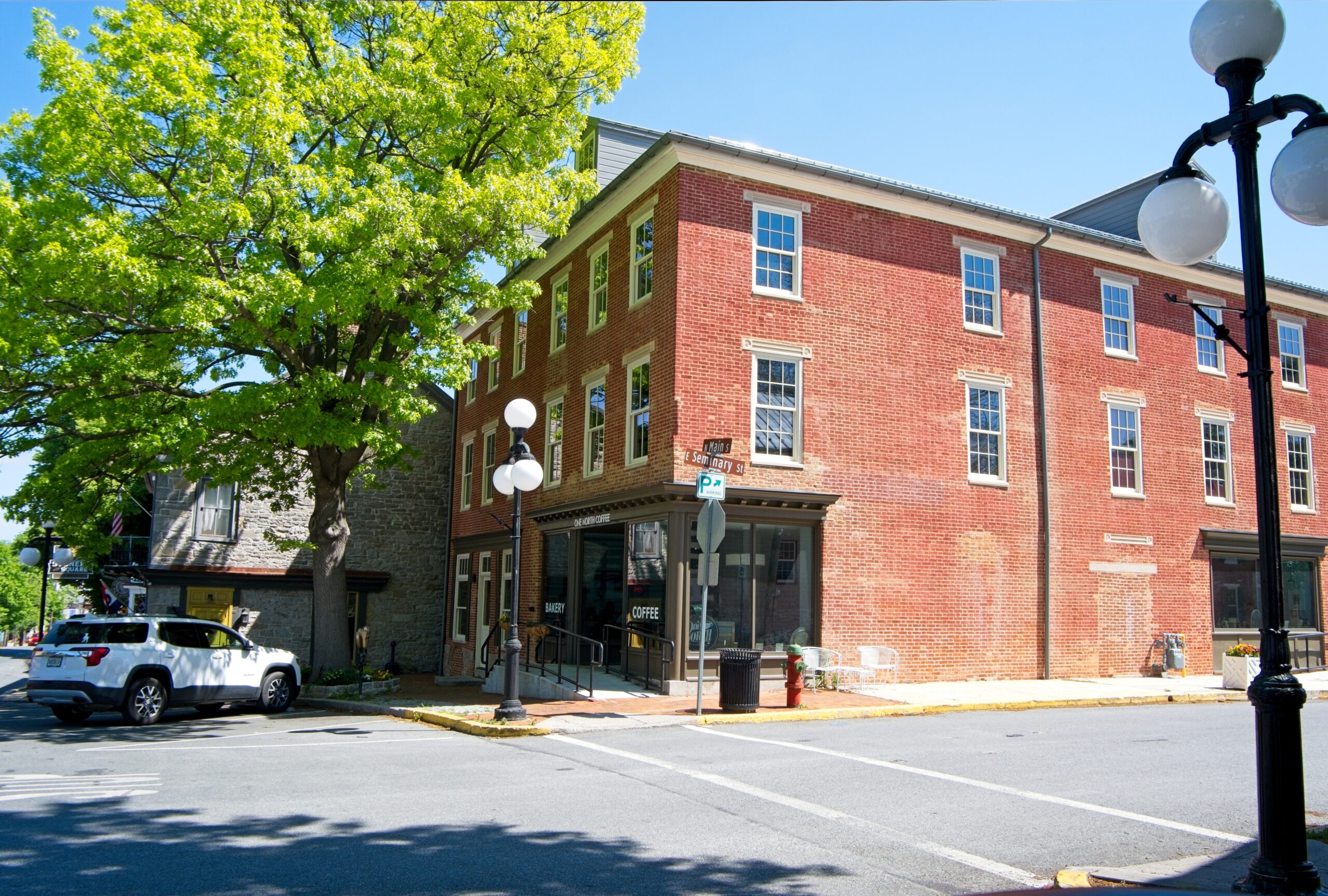
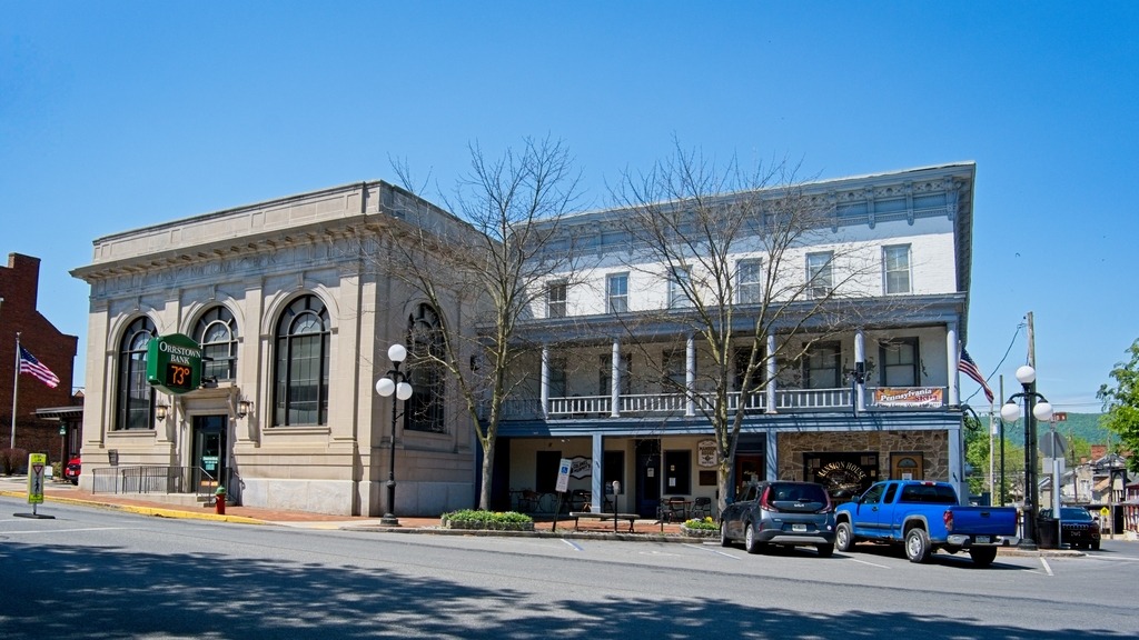
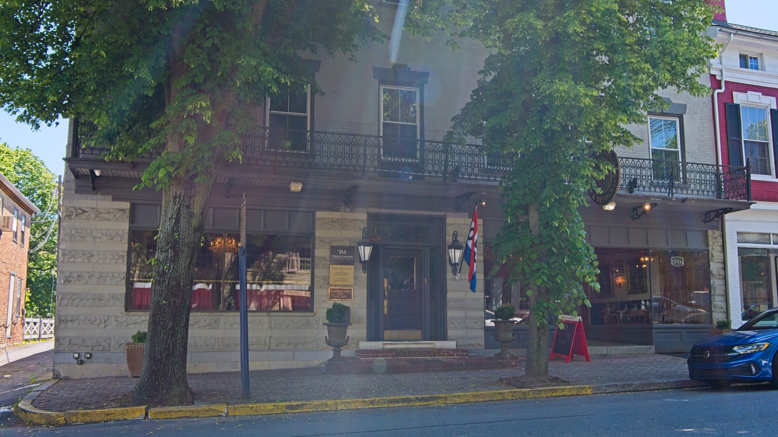
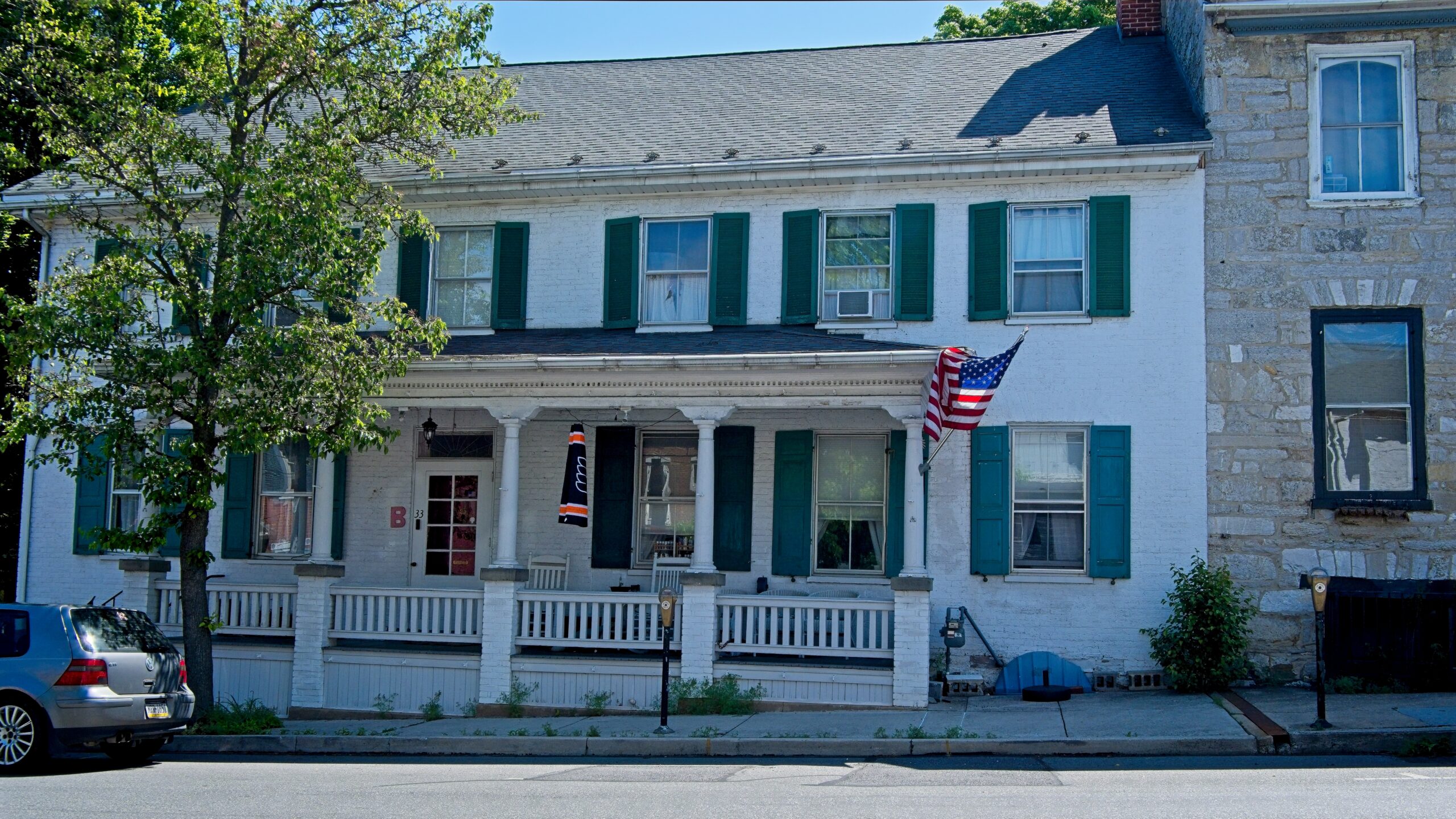
Mercersburg is a borough in Franklin County that is 72 miles (116 km) southwest of Harrisburg. As of the 2020 census, Mercersburg had a population of 1,507. The land currently known as Mercersburg was previously territory of the Massawomeck people who were part of the Iroquois Nation.
Due to its location in a rural area, it had a relatively large percentage of African-American workers who had been enslaved from the Revolution. It was called “Black Town” in the early 19th century before incorporation under its current name. Refugee African Americans escaping from slavery in the South also settled here, and the area was known as “Little Africa”.
Mercersburg was platted in 1780. The borough was named after Hugh Mercer, a general and hero in the American Revolutionary War. A post office has been in operation at Mercersburg since 1812.
Located near the southern border of Pennsylvania, the rural community became a place of refuge during the antebellum years for escaped African Americans who had been enslaved in the South. Some came to the area via the Underground Railroad. After the American Revolution, Pennsylvania had abolished slavery. In this area were communities of free African Americans who had worked in agriculture. It was relatively easy for refugees to join their communities after passing over the border of Maryland. In later years, black people moved away from here as they were at risk from slavecatchers, especially after passage of the Fugitive Slave Act in 1850, which had more stringent rules against free states. Many African Americans moved to Philadelphia, which had a large and free black community, which helped new arrivals get settled.
The Mercersburg Historic District, Lane House, and Mercersburg Academy are listed on the National Register of Historic Places.
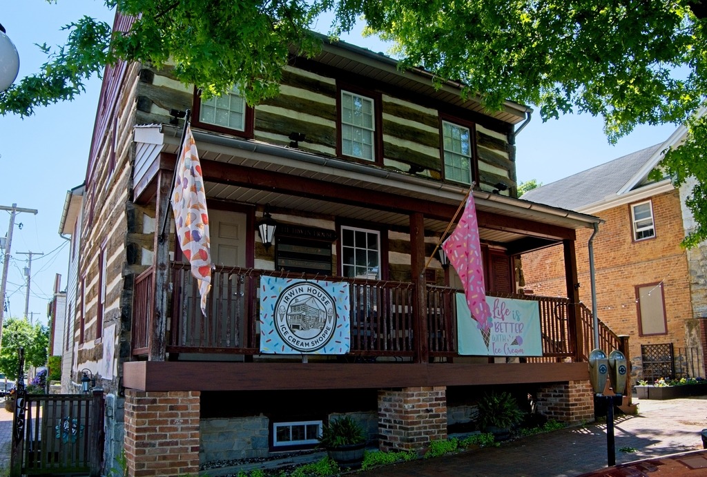
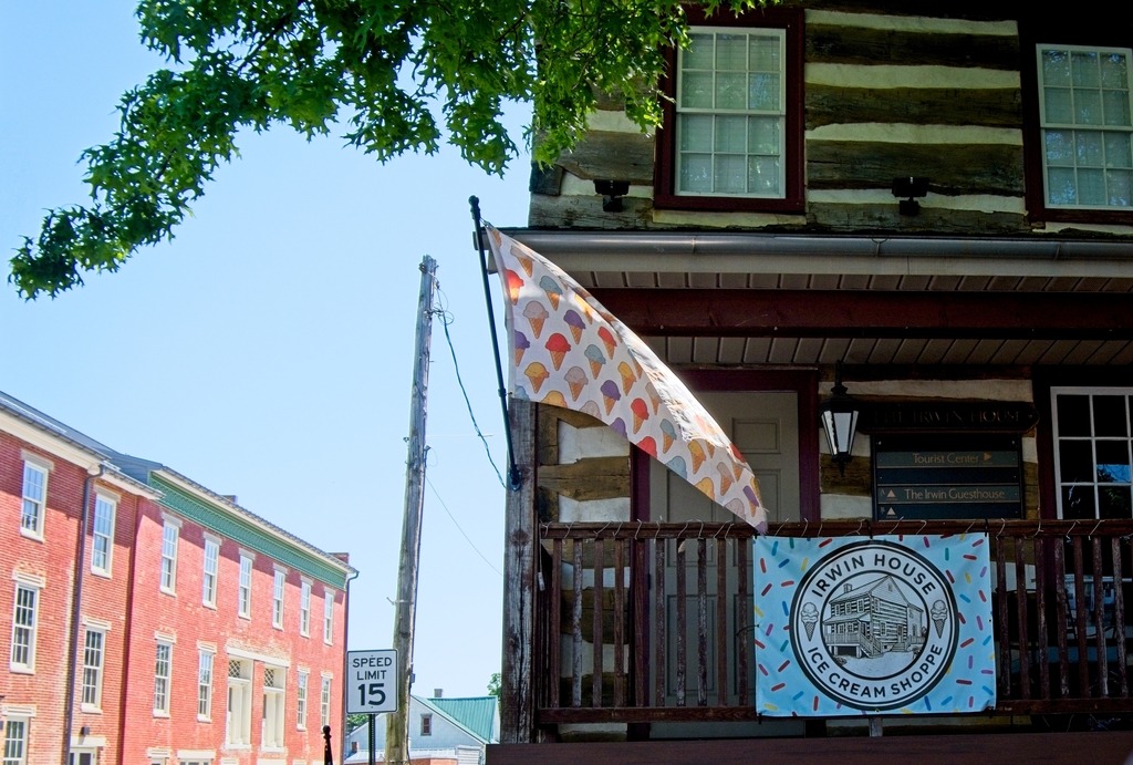
The Irwin House
On September 26, 2003, this corner property was destroyed by fire exposing this log house built in 1791-1792 by Archibald Irwin. Irwin’s granddaughter Jane married William Henry Harrison, Jr., and served as First Lady when her father-in-law, William Henry Harrison, Sr., was elected 9th President of the United States. Irwin’s granddaughter Elizabeth married John Scott Harrison and became the mother of Benjamin Harrison, who served as 23rd President of the United States.
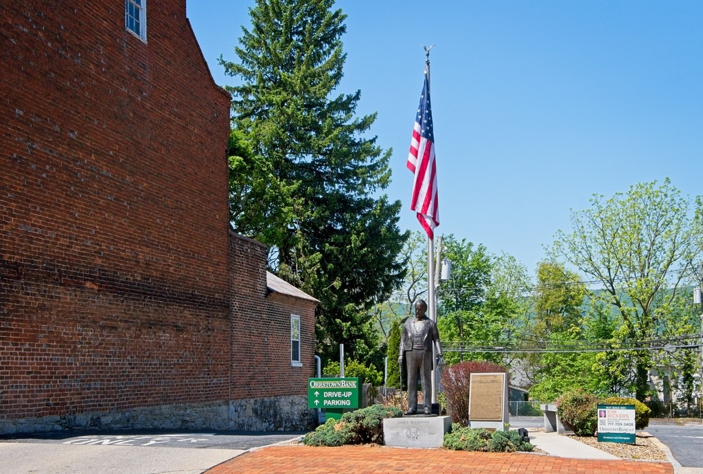
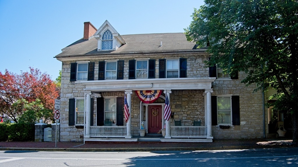
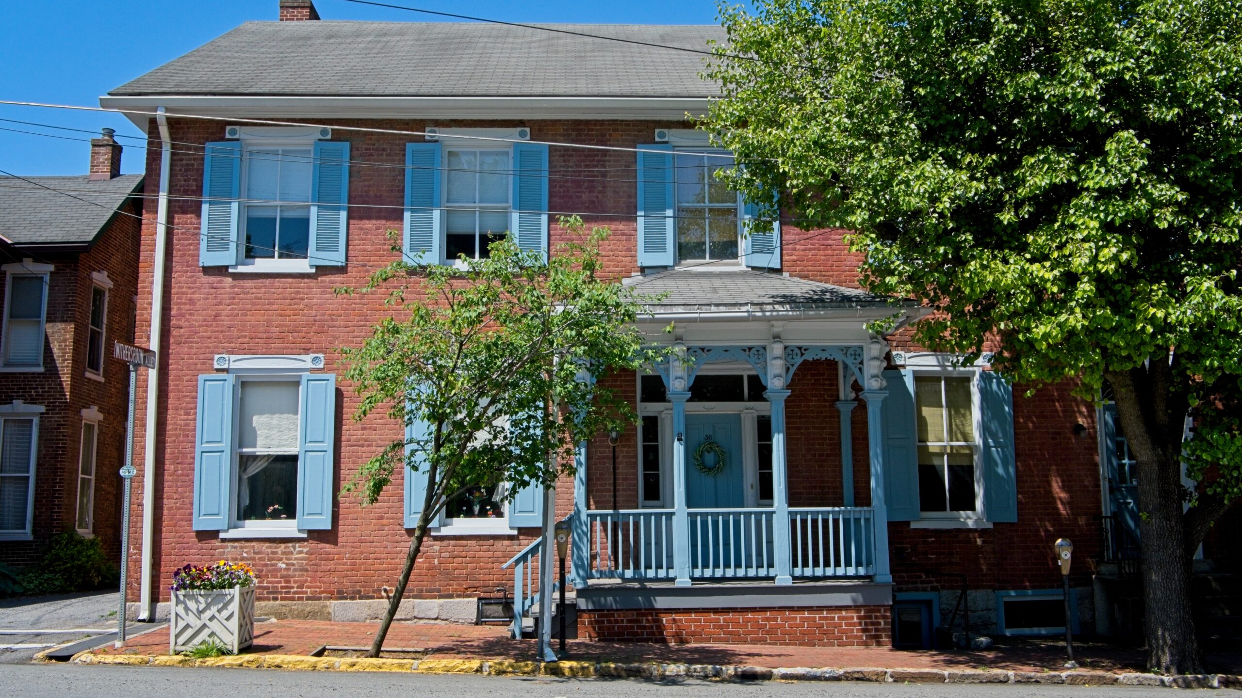
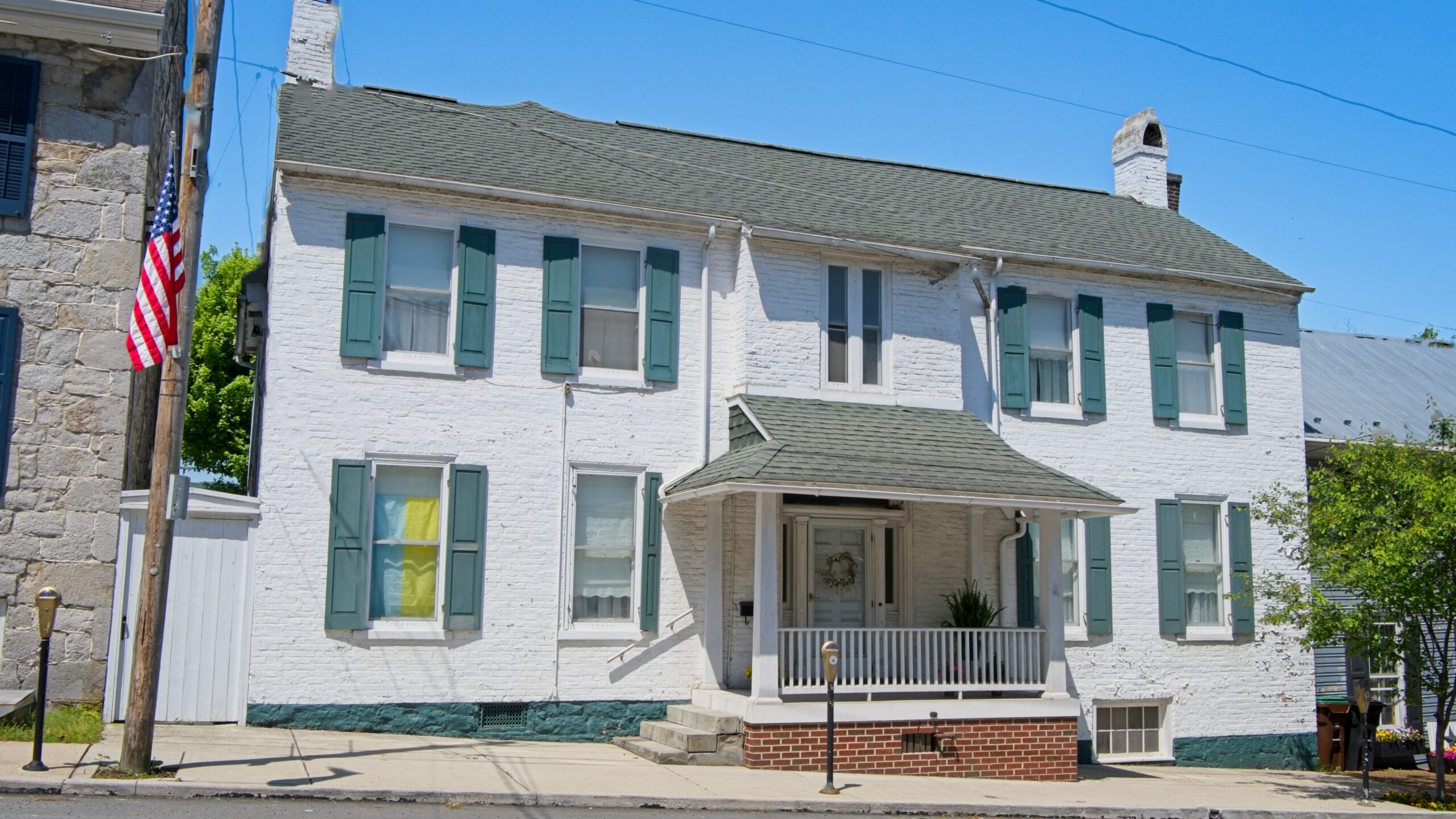
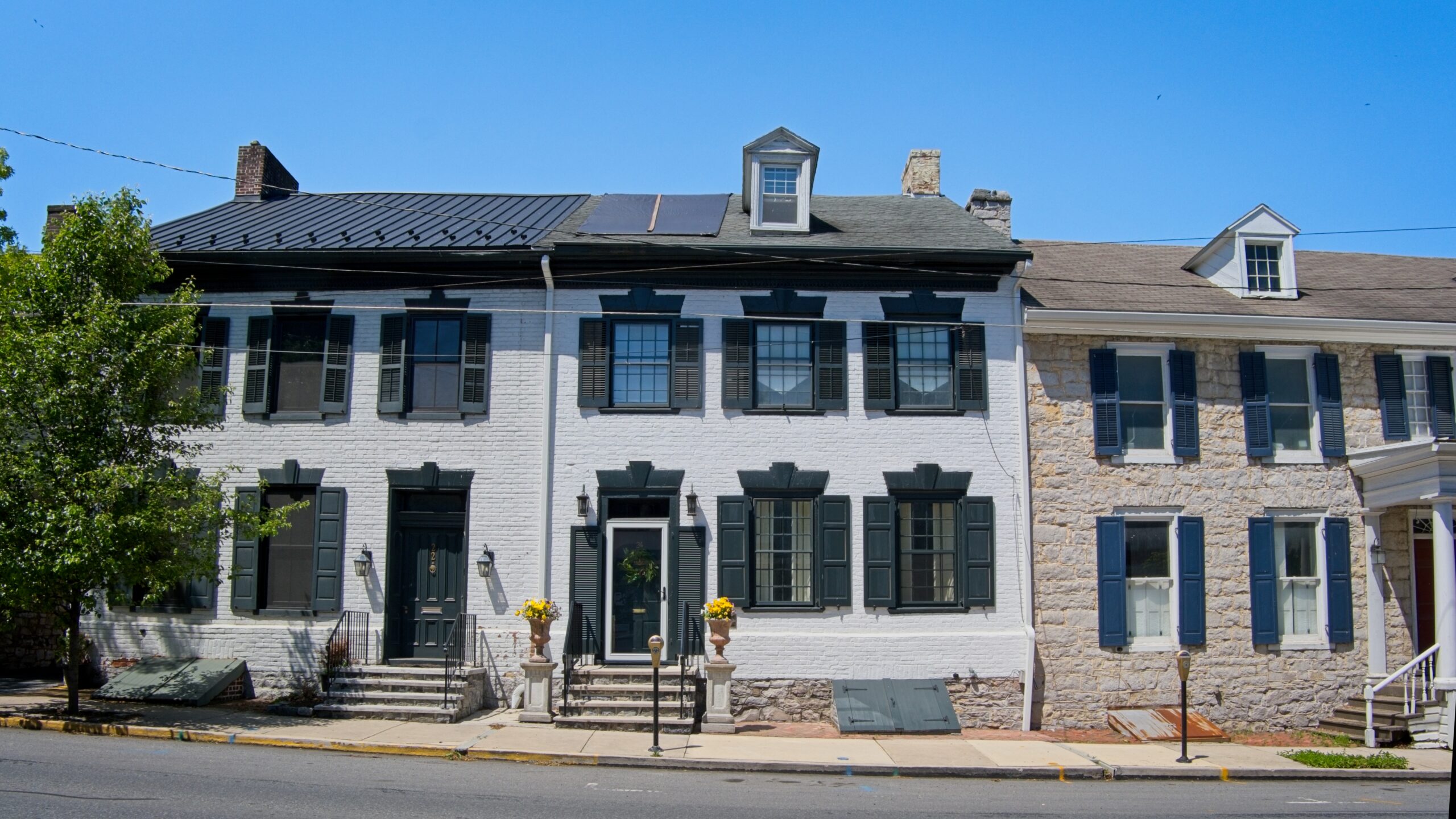
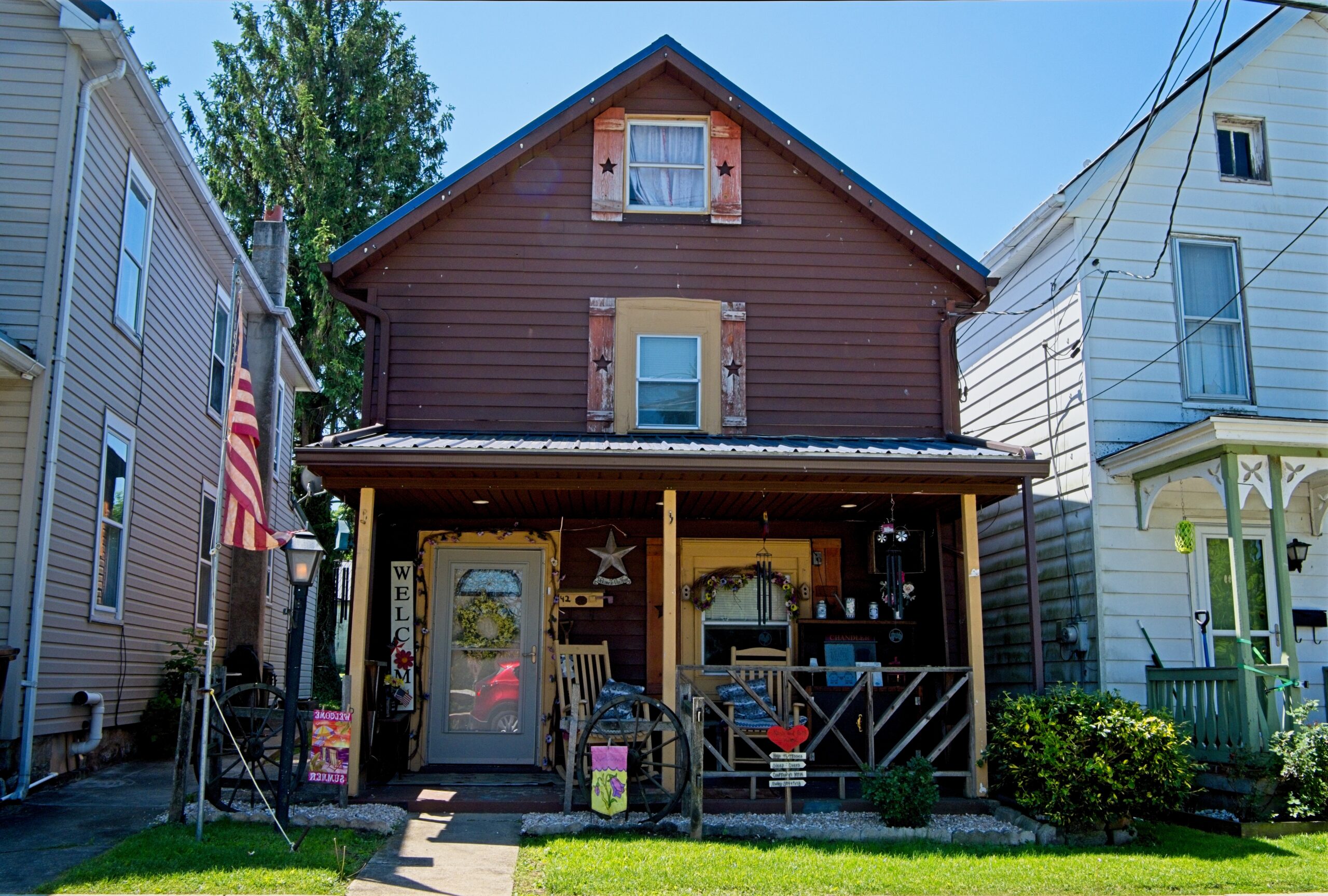
The statue if James Buchanan.Stoner’s Mansion HouseMany beautiful older properties around town.
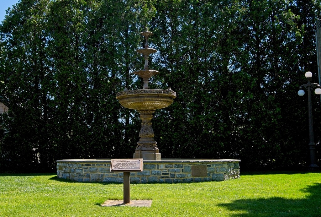
The Mercersburg Fountain is a beloved historical icon, originally placed in Center Square (The Diamond) in 1916. In 1915, the Woman’s Club of Mercersburg (now the Women’s Club) successfully raised money to install a fountain instead of a grass plot. The fountain stood in the Square until it was removed in 1959. After being lost for decades, it was purchased from an antique collector in 1991, restored, and rededicated to the Borough in 1994, finding a new home on North Fayette Street.
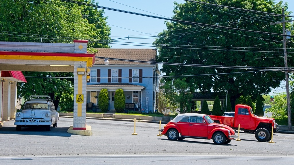
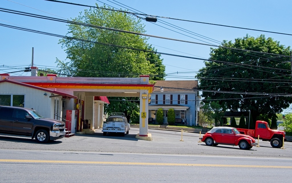
Probably the most interesting used car dealer I’ve ever seen.
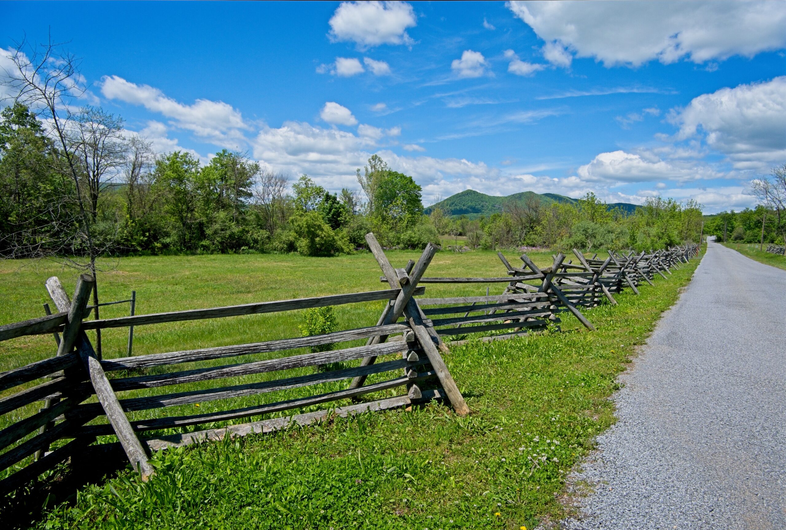
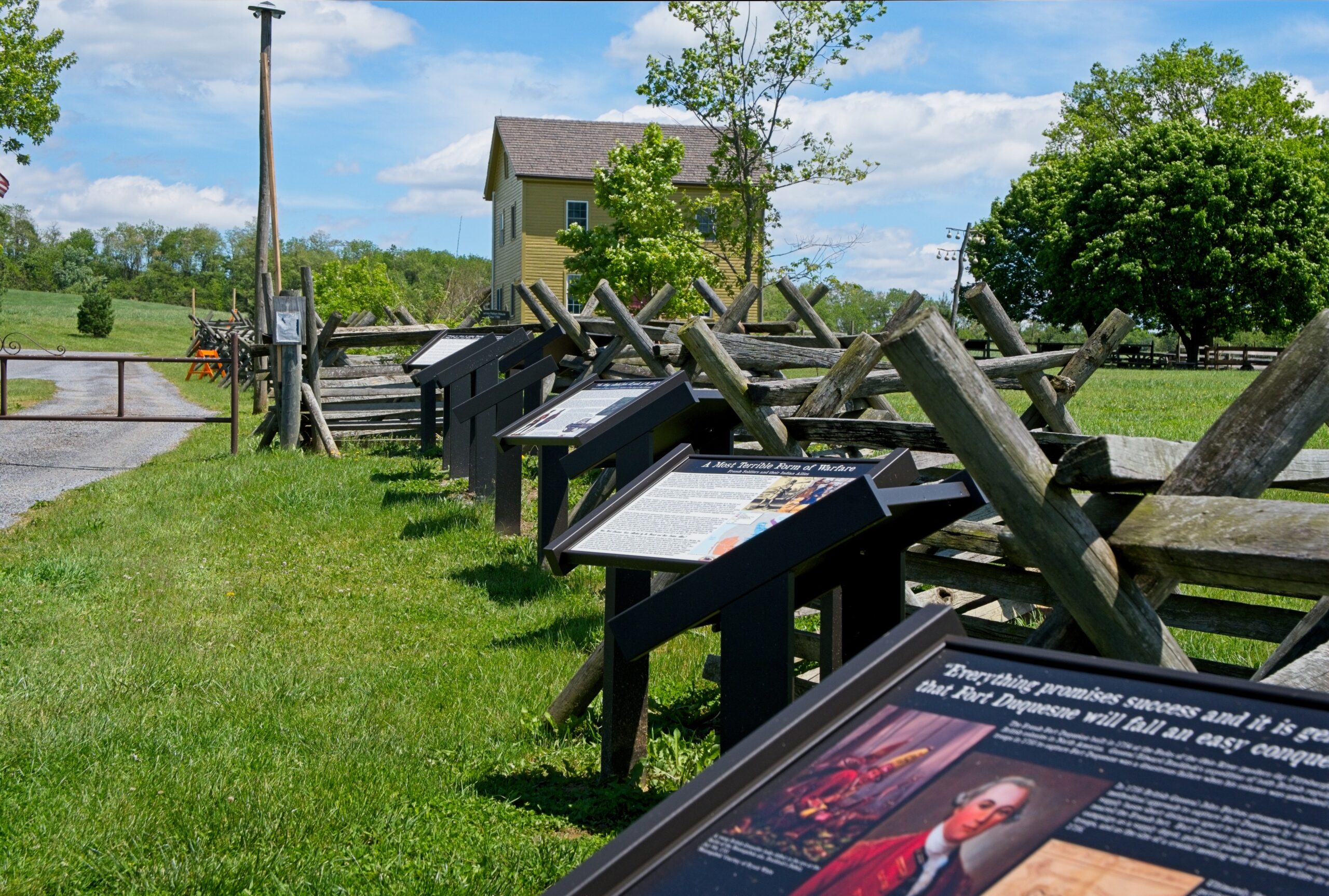
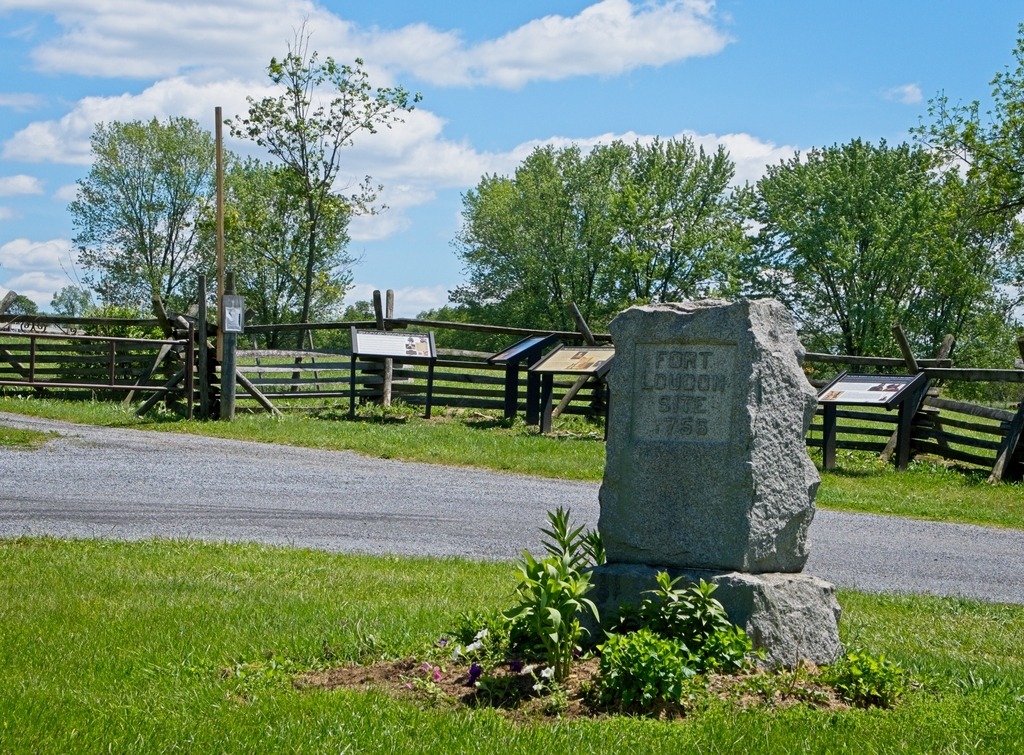
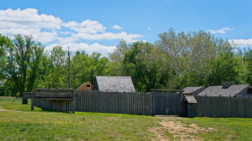
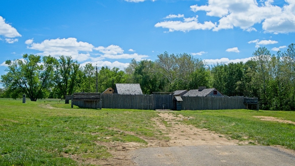
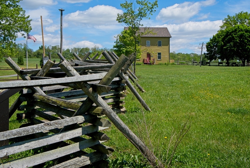
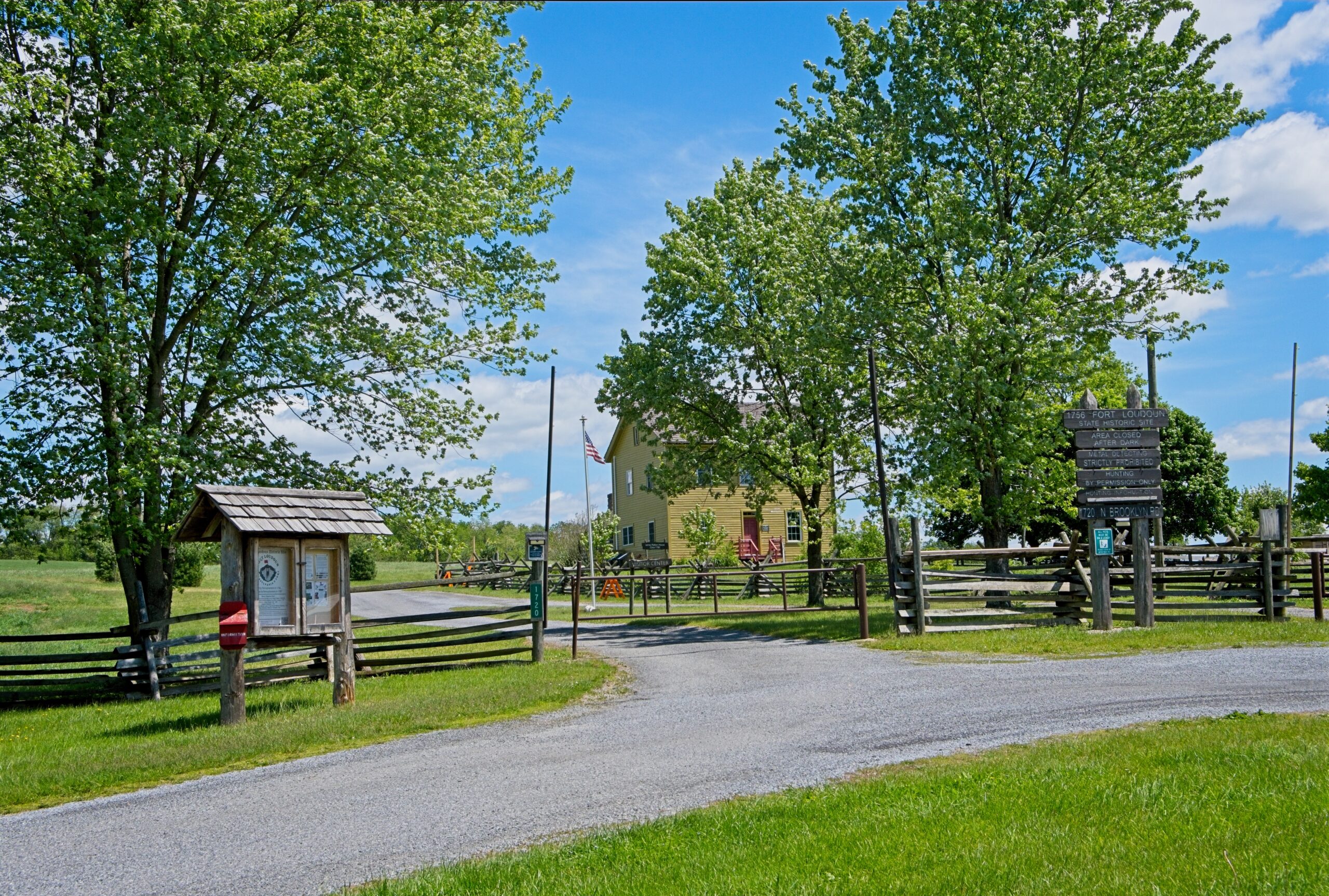
The colonial Fort Loudoun was built in 1756 during the French and Indian War as a supply depot. A replica of the fort, built in 1993, stands at the corner of US 30 and Brooklyn Road North, at the southeastern corner of the CDP. There are events anb workshops held at the site, although hours for tours can be variable. The exterior of the property and access to Conococheague Creek for fishing is available from sunup to sundown. Please check the fort’s website for more informaiton.
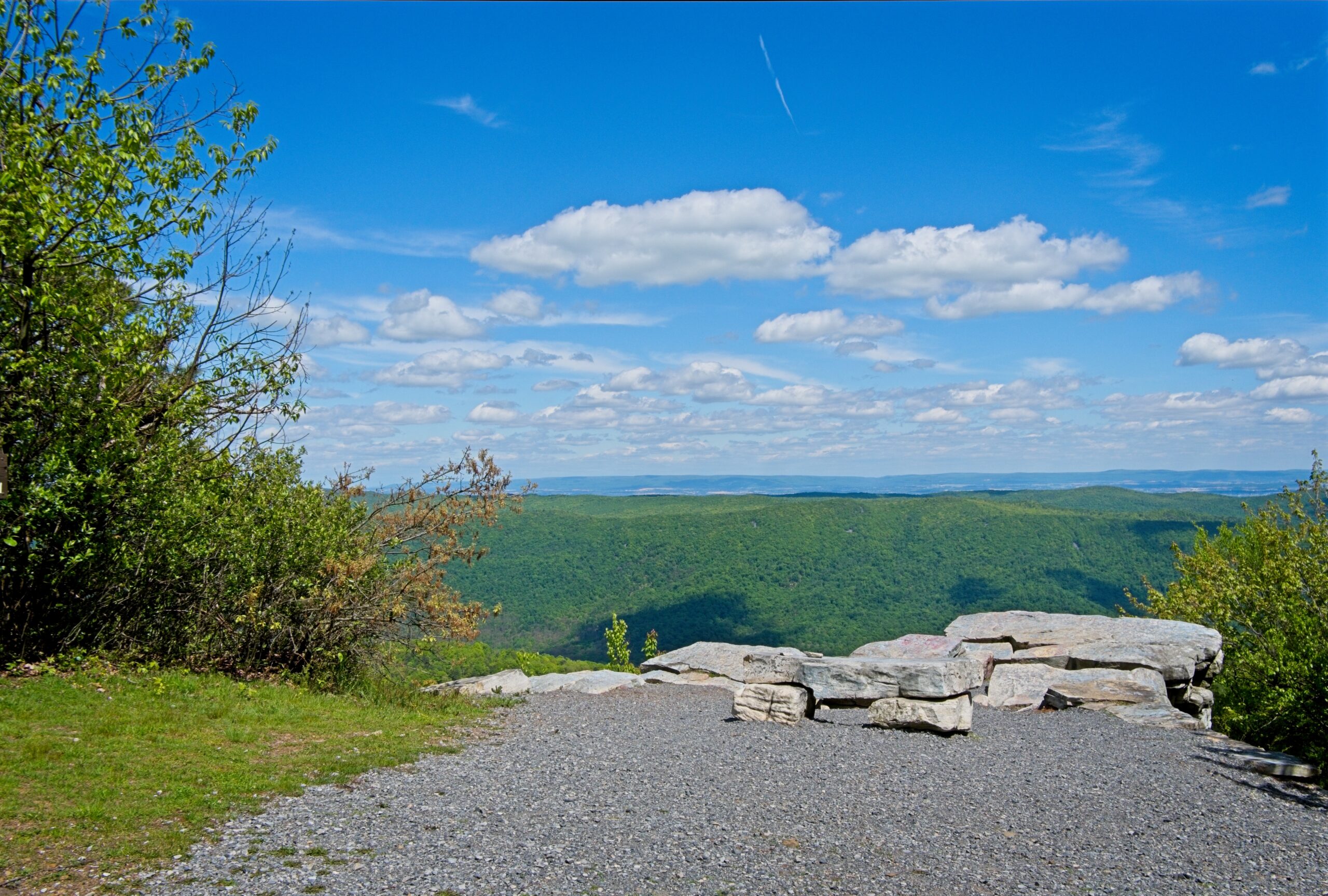
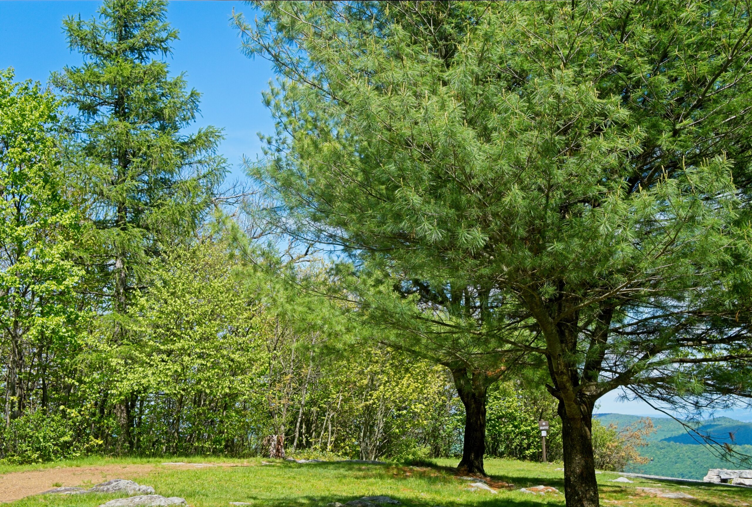
Big Mountain Overlook sits near the border of Franklin and Fulton counties. It makes for a nice, quick side trip from Route 30. It has spectacular views in the Autumn but is lovely an time of year. The Tuscarora Trail passes nearby,
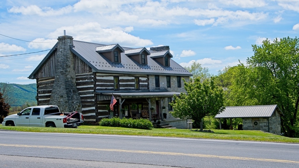
I first needed to make a quick pitstop for lunch and groceries in Spring Run after exting the turnpike at Willow Hill. This partial log cabin home was an interesting site nearby. I wonder if the log section is old.
The overlook was the first official stop on my trip. I had been on the access road before but managed to miss the overlook. This overlook it not to far from the parking area at the end of the cul de sac on Tower Road.
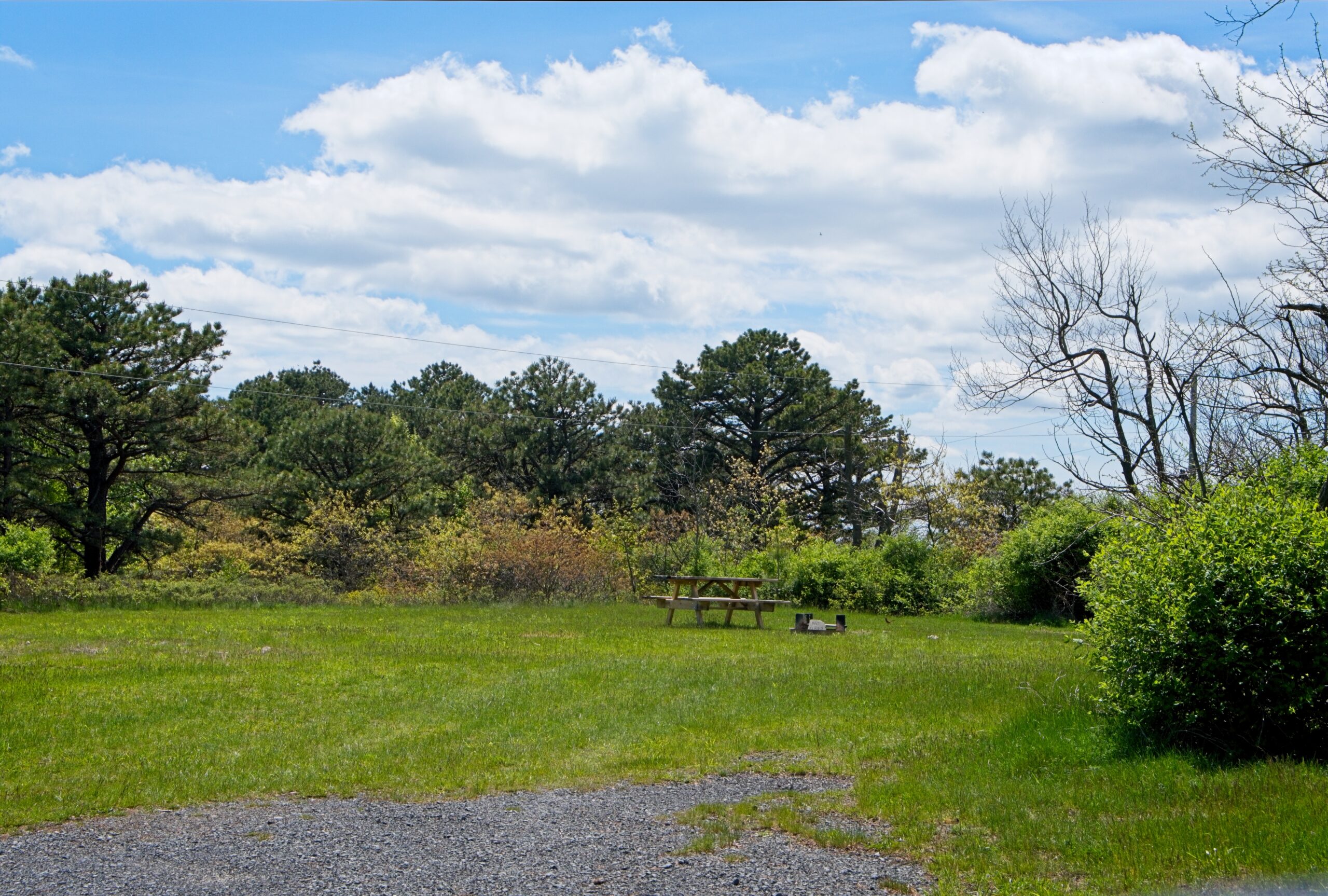
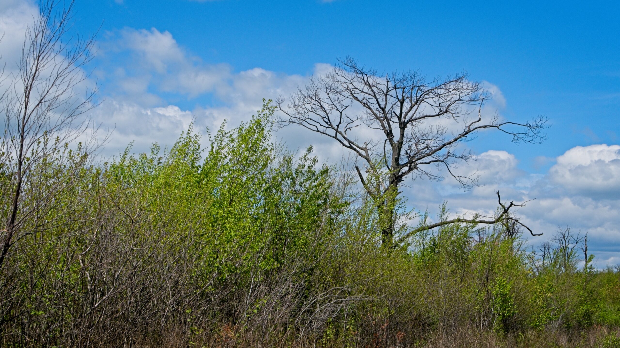
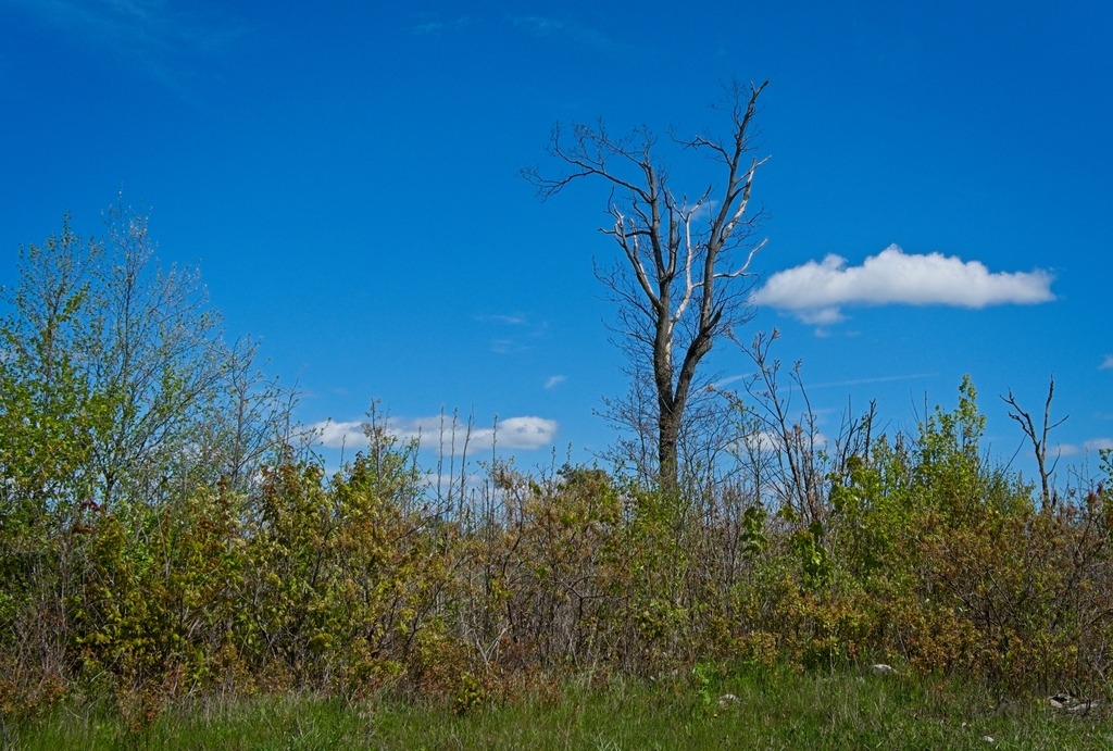
There are siome state forest camp sites along Tower Road.The vegetation along the road is unusually low.
Big Mountain Overlook, a short distance from the historic Lincoln Highway (US Route 30), is on the border of Franklin and Fulton Counties in Buchanan State Forest. On the ridge of Tuscarora Mountain near its summit, there are breathtaking views of the surrounding ridges to the east, and western views as you head up to the overlook. The overlook is at an elevation of 2458 feet. The lowest points in Path Valley are around 700 feet in elevation, giving views of roughly 1700 feet down into the valley, making this one of the biggest, if not the biggest, elevation differences between a summit overlook and the valley below within the state. On clear days, you can see about 100 miles out to Maryland, West Virginia, and Northern Virginia since this is gives a view beyond the end of the next ridges. The 252 mile long Tuscarora Trail, a spur route off of the Appalachian Trail, goes along the ridge.
I believe the outcropping provides a better view, but I had difficulty finding it when I visited, as it is not well marked.
Is this the way to the overlook?
On my travels, I came across some interesting barns in the nearby valleys. The first, and another like it not pictured here, is a brick construction with some beautiful detailing. I don’t remember coming barns like this in other parts of the state that I have visited.
I like the tile-like material on the silo and the steeples,
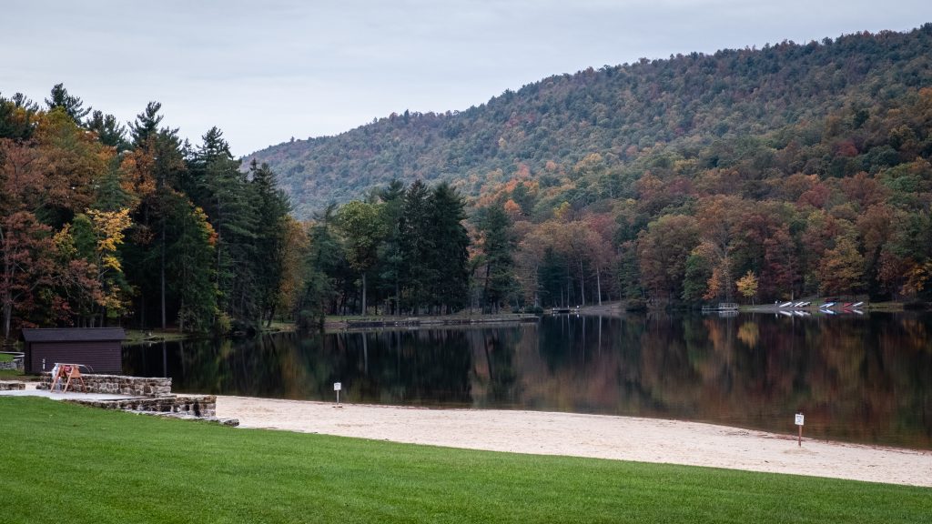
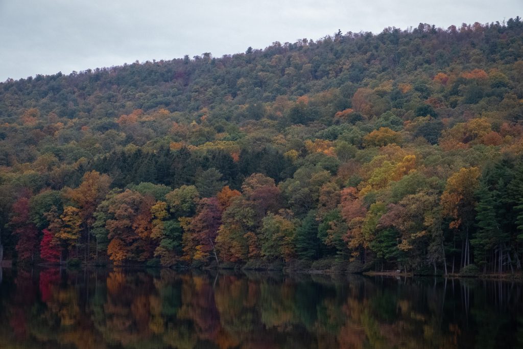
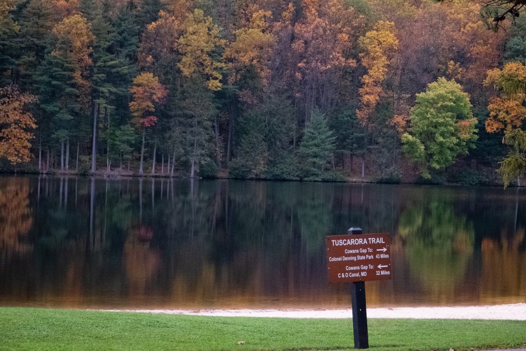
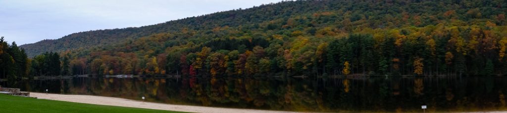
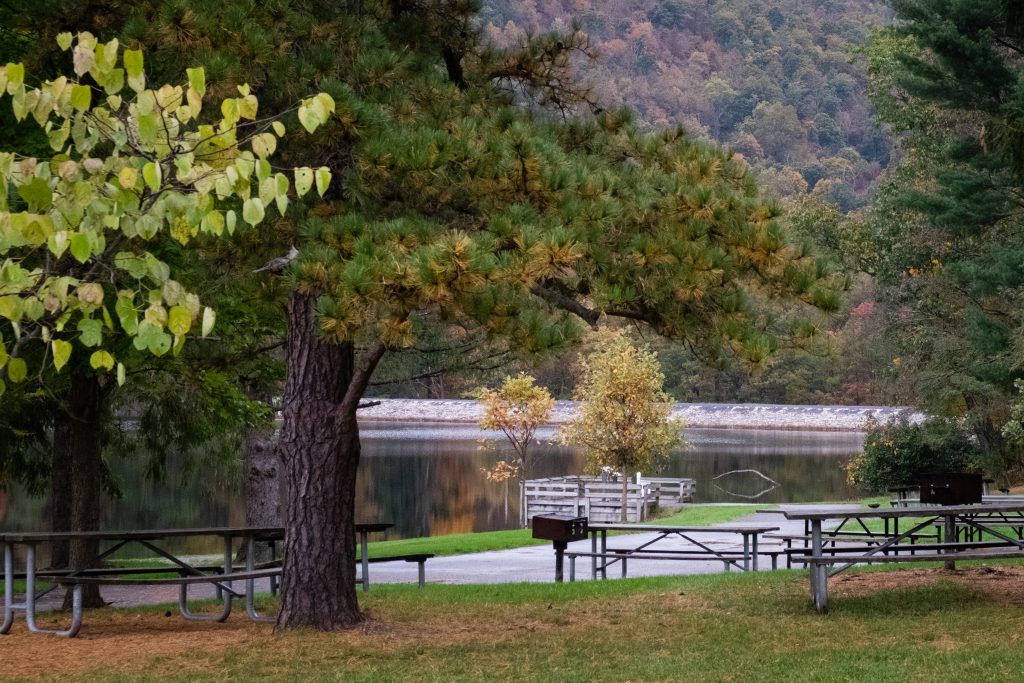
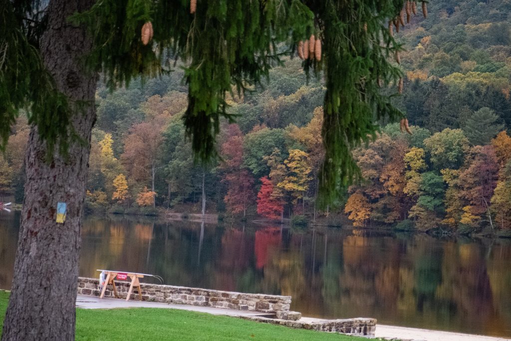
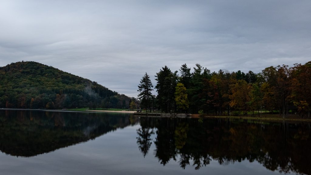
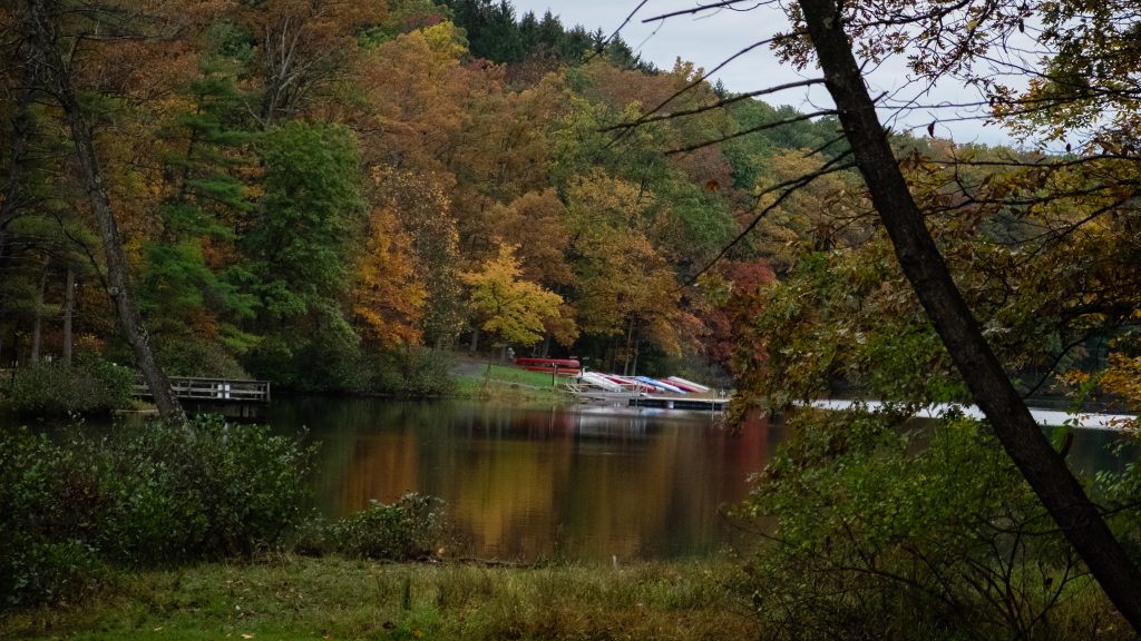
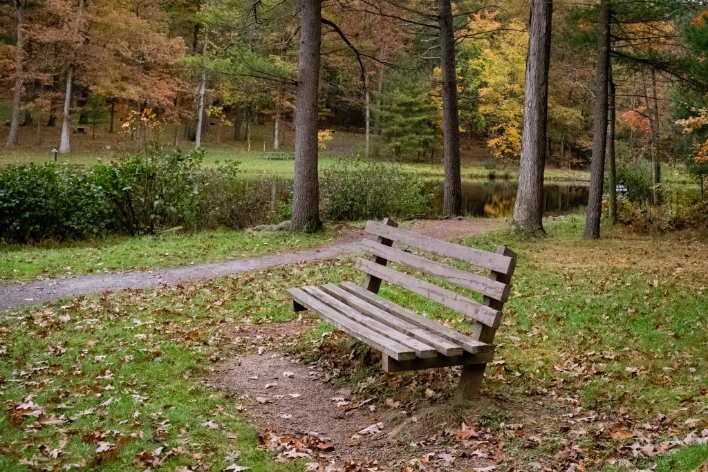
Cowans Gap State Park is a 1,085-acre park in the beautiful Allens Valley of Fulton County. A 42-acre lake, large campground, rustic cabins, and many hiking trails are prime attractions. The Buchanan State Forest surrounds the park, providing additional options for recreation and natural beauty in all seasons. The park features a full range of other activities such a fishing, boating, hunting, picnicking and swimming.
The beach in Autumn.It was a still day with great reflections on the water.A panoramic view.A dam and the fishing pier.Autumn silence.
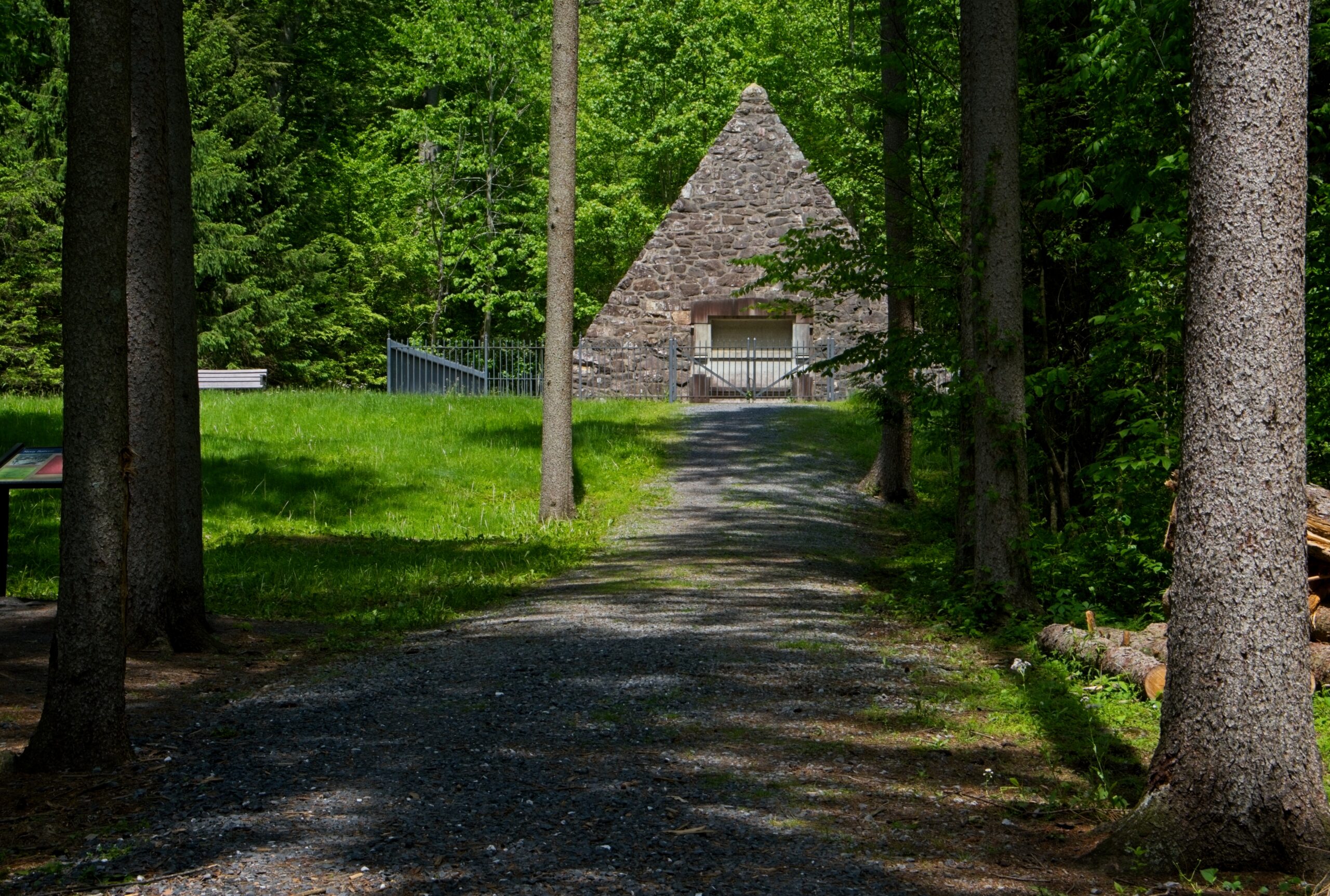
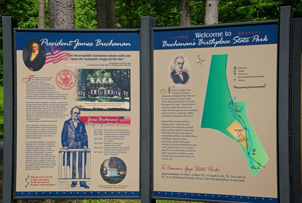
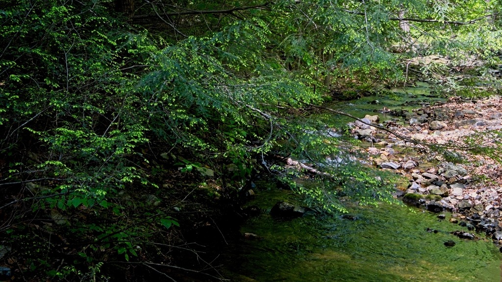
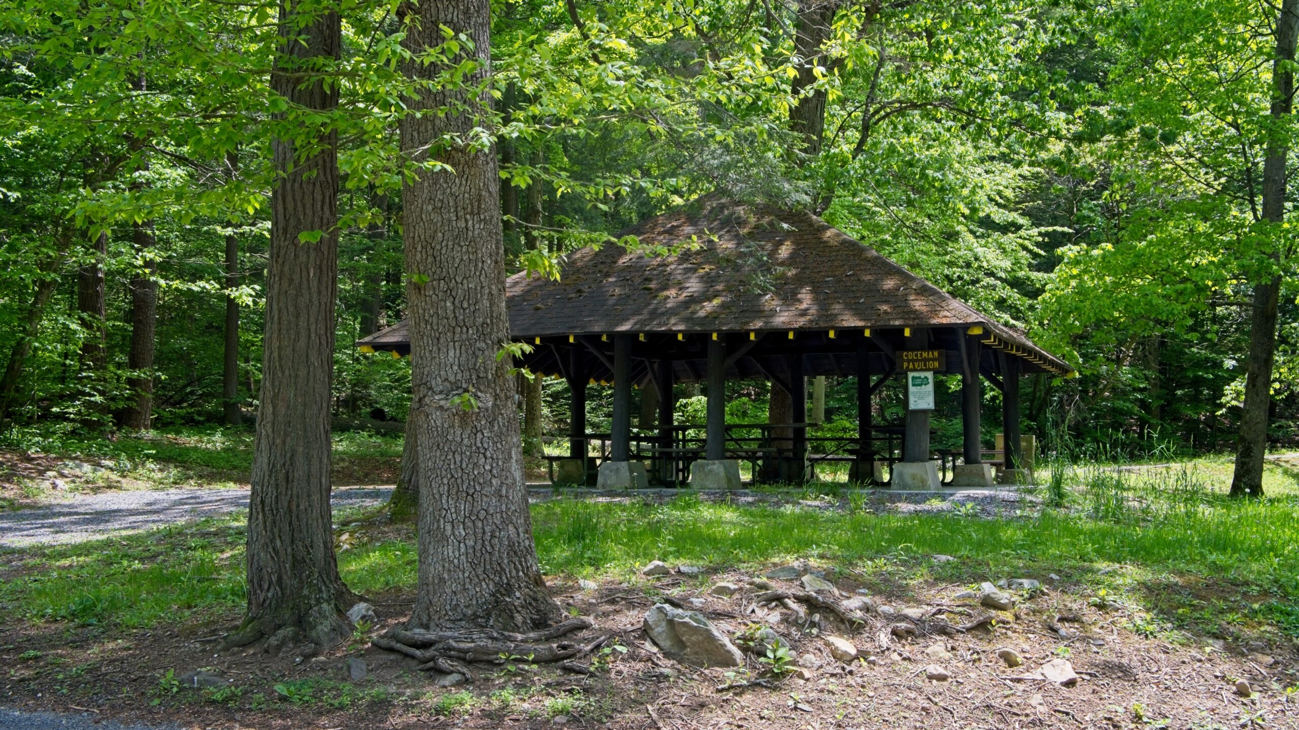
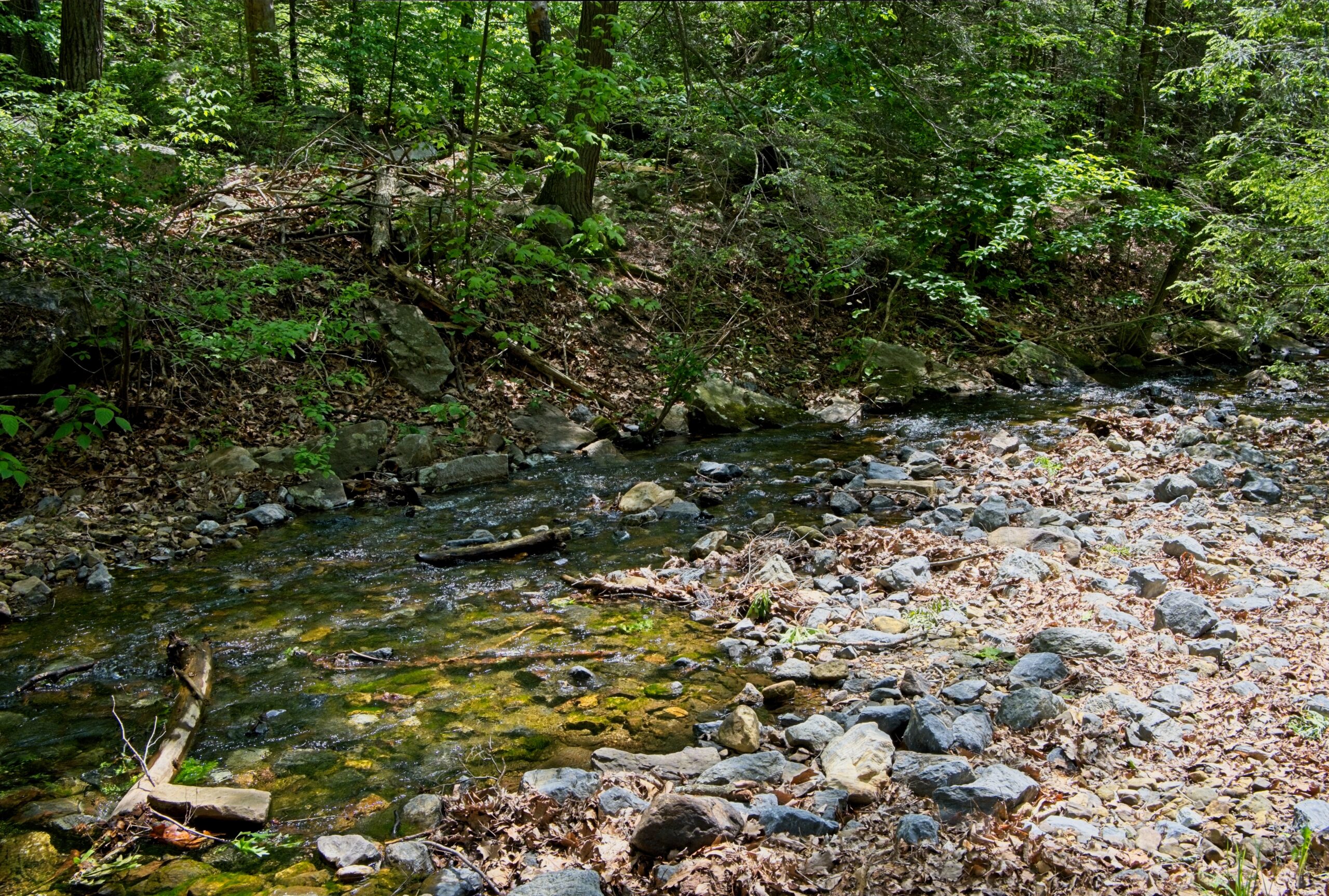
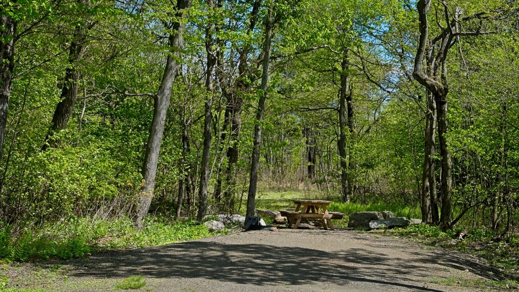
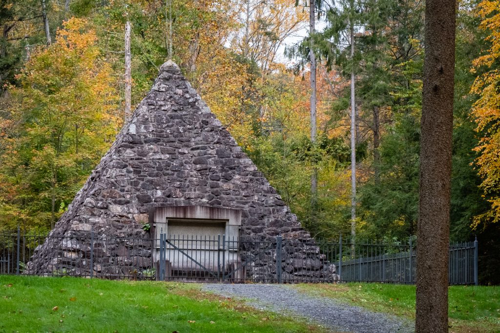
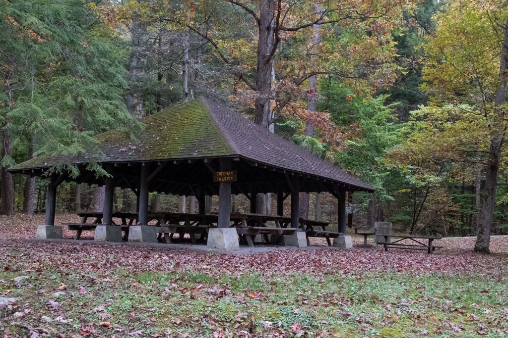
Buchanan’s Birthplace State Park is an 18.5-acre park nestled in a gap of Tuscarora Mountain in Franklin County. The park and the surrounding forested mountains offer an abundance of beauty throughout the year. In addition to President Buchanan’s memorial, there are picnic pavilions and picnic tables. Buck Run flows through the park and hosts a population of native trout.
James Buchanan Jr. was a lawyer and politician who served as the 15th president of the United States from 1857 to 1861. He previously served as secretary of state from 1845 to 1849 and represented Pennsylvania in both houses of the U.S. Congress.
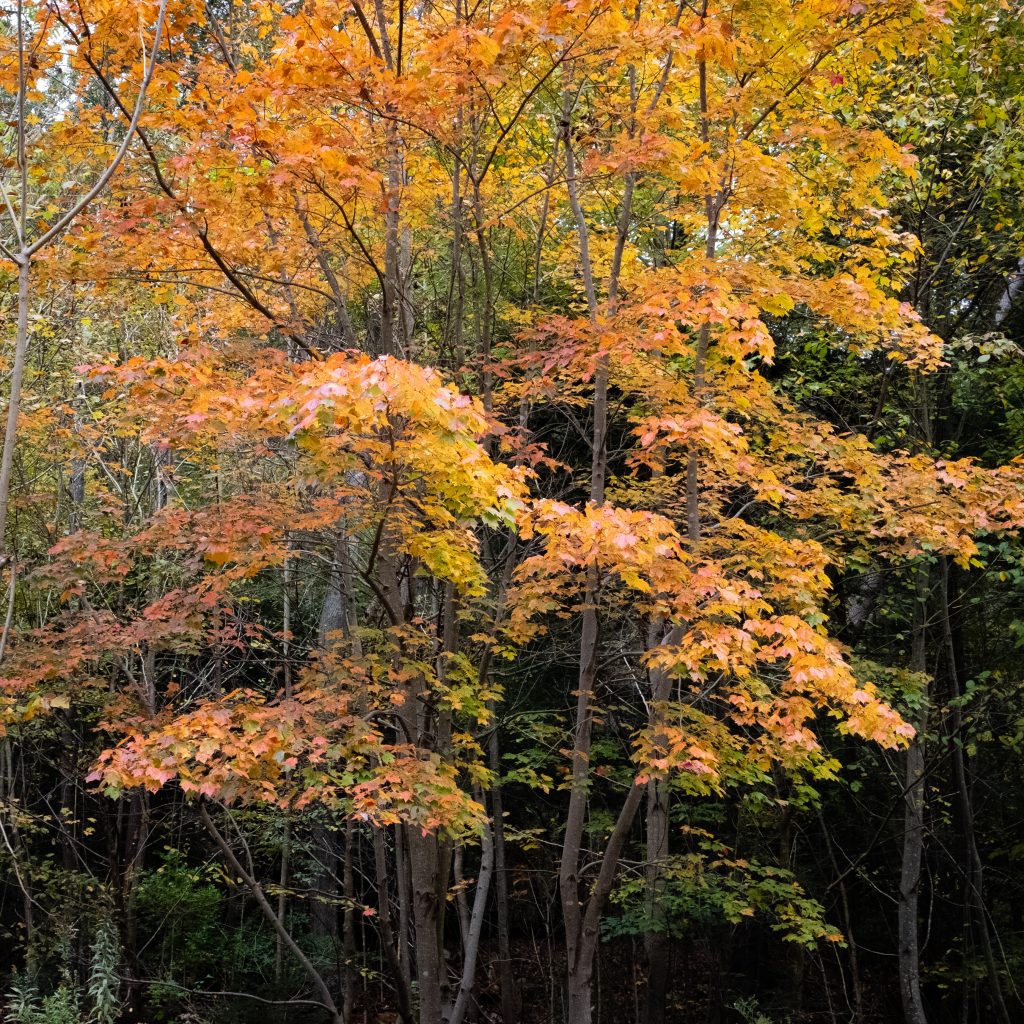
The memorial.Lovely fall colors.Picnic pavilion.Buck Run.
If you head west on Route 30 past Gettysburg, you will come across two state parks. The larger of the two is Caledonia State Park. The 1,125-acre park is in Adams and Franklin counties, between Chambersburg and Gettysburg along the Lincoln Highway (US 30). It is situated within South Mountain, the northern terminus of the well-known Blue Ridge Mountain of Maryland and Virginia. The soils on either side of South Mountain are ideal for fruit production, proven by the abundance of orchards in the surrounding area.
Some unique features at Caledonia are a golf course and the Totem Pole Playhouse. It also provides hiking, camping, and hunting and hosts the Pennsylvania Forest Heritage and Discovery Center.
Forest Heritage and Discovery CenterA spartan camp setup,Let’s enjoy some fall color …… in the nearby Michaux State Forest as well.
Nearby Mont Alto State Park is a quiet, 24-acre park which features a pavilion, picnicking, and trout fishing. Mont Alto is the oldest park still in the Pennsylvania state park system.
Franklin County, Pennsylvania is home to two covered bridges. It was great to seem them in the Autumn, which is the Commonwealth’s best season (in my opinion. of course).
First up is the Martins Mill or Shindle Bridge which is reported to be the longest remaining Town truss covered bridge in Pennsylvania. It was reconstructed after the Hurricane Agnes flood of 197, but it is now closed to all traffic. It is still open to foot and bike trail users. The bridge was built in 1839 by Jacob Shirk. The length is 207 ft. with a width of 16 ft.. it crosses Conococheague Creek in Franklin County.
One the way to this bridge, I spotted some interesting cattle:
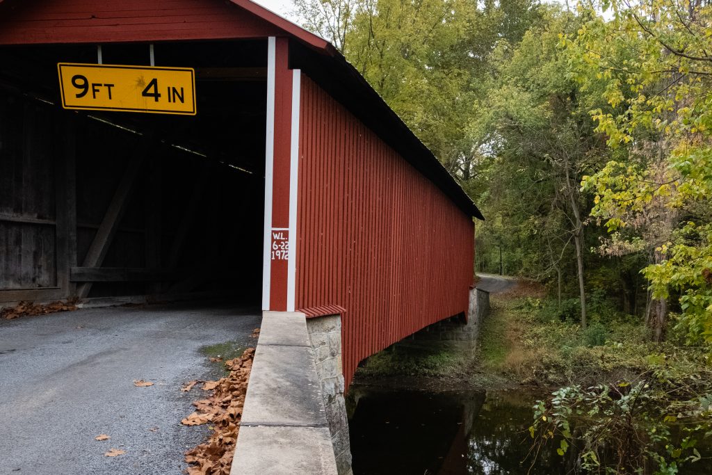
The Witherspoon Covered Bridge is the second covered bridge in Franklin County. The bridge was built in 1883 by S. Stouffer. It utilizes the Burr Truss in its construction. The bridge’s length is 87 ft., and the width is 14 ft. it crosses Licking Creek in Montgomery Township.