

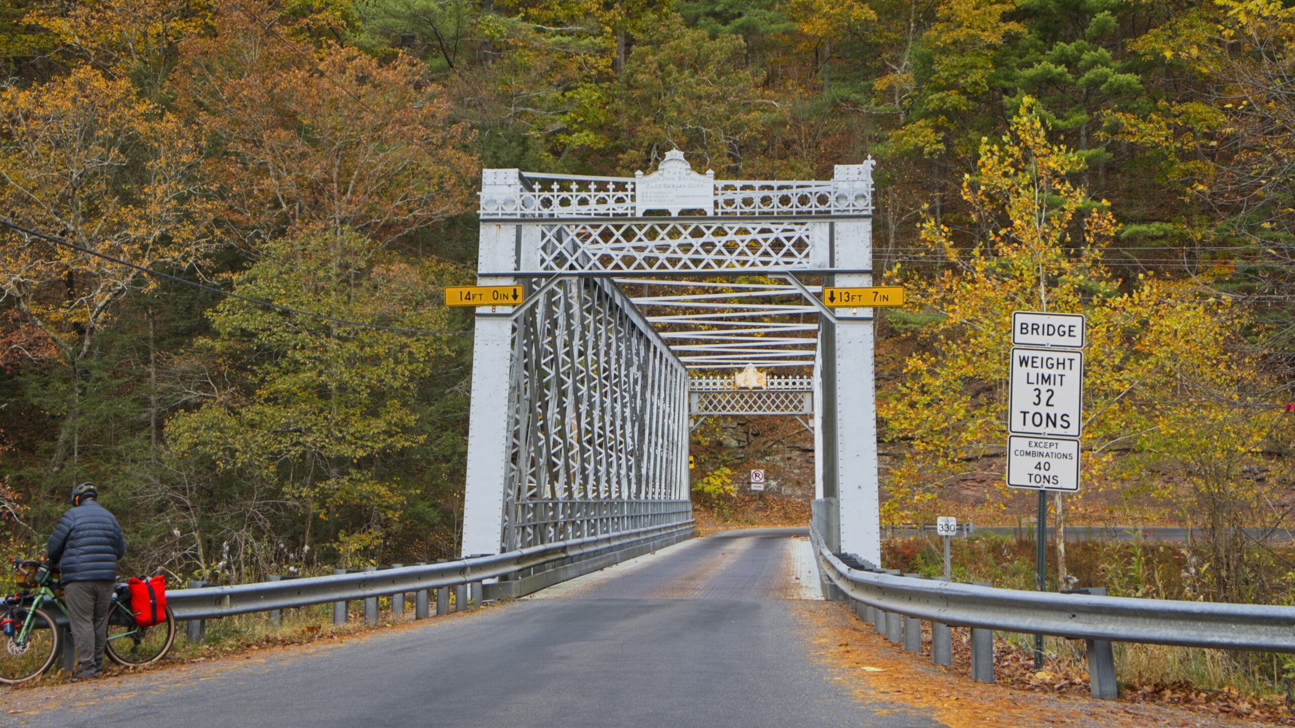
There is some lovely countryside the way to and from Leonard Harrison State Park in Tioga County.


There is some lovely countryside the way to and from Leonard Harrison State Park in Tioga County.
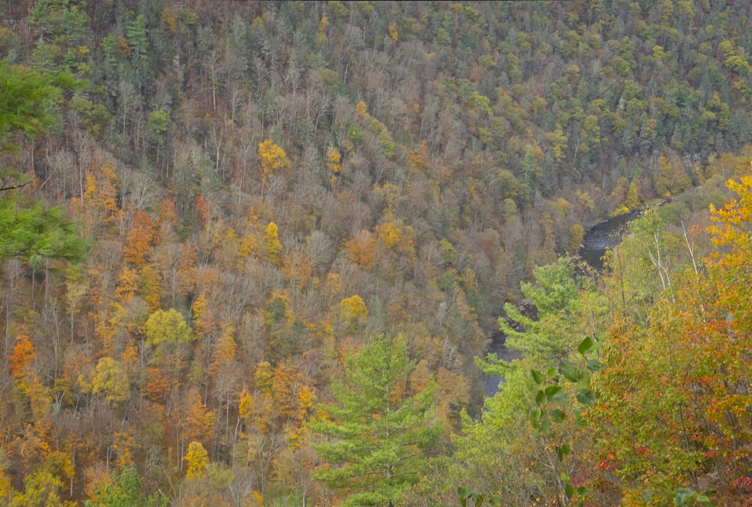
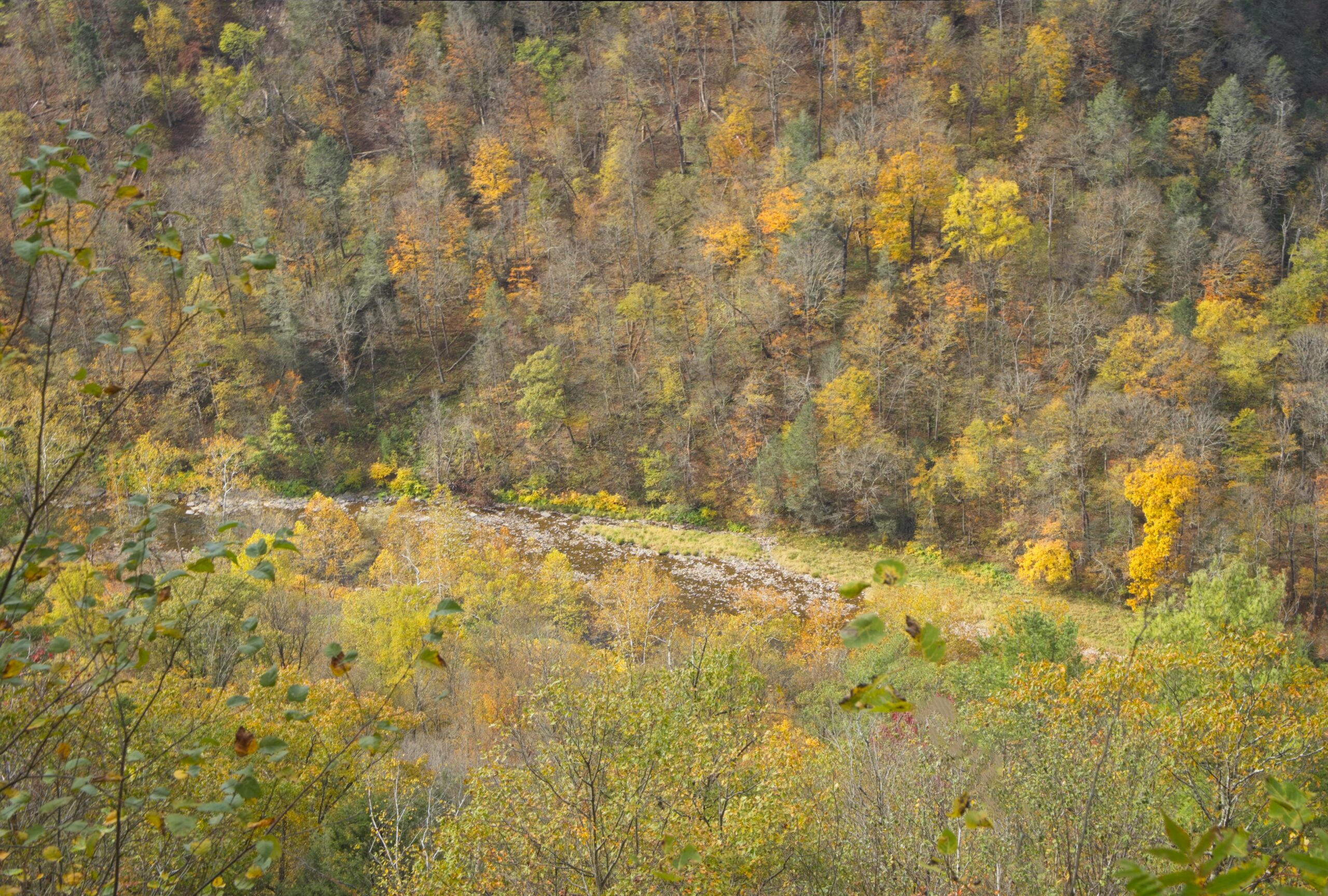
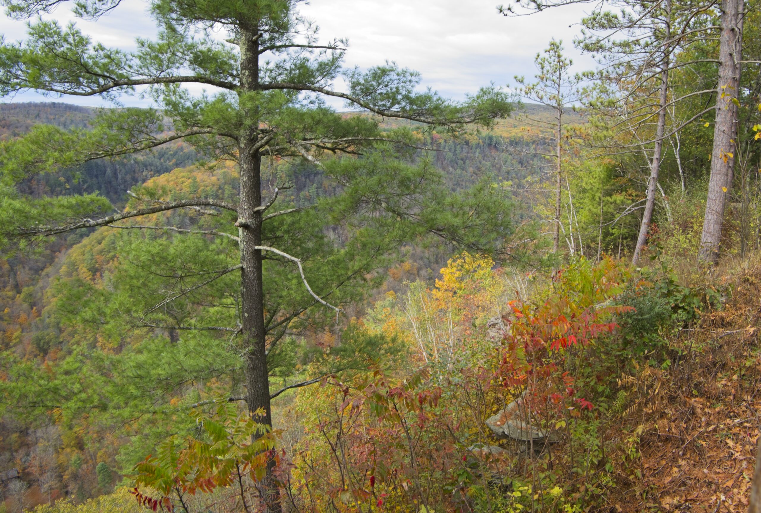
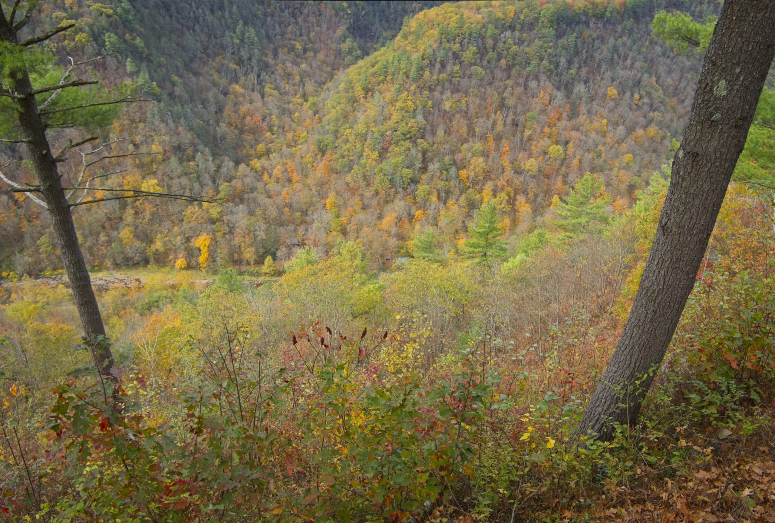
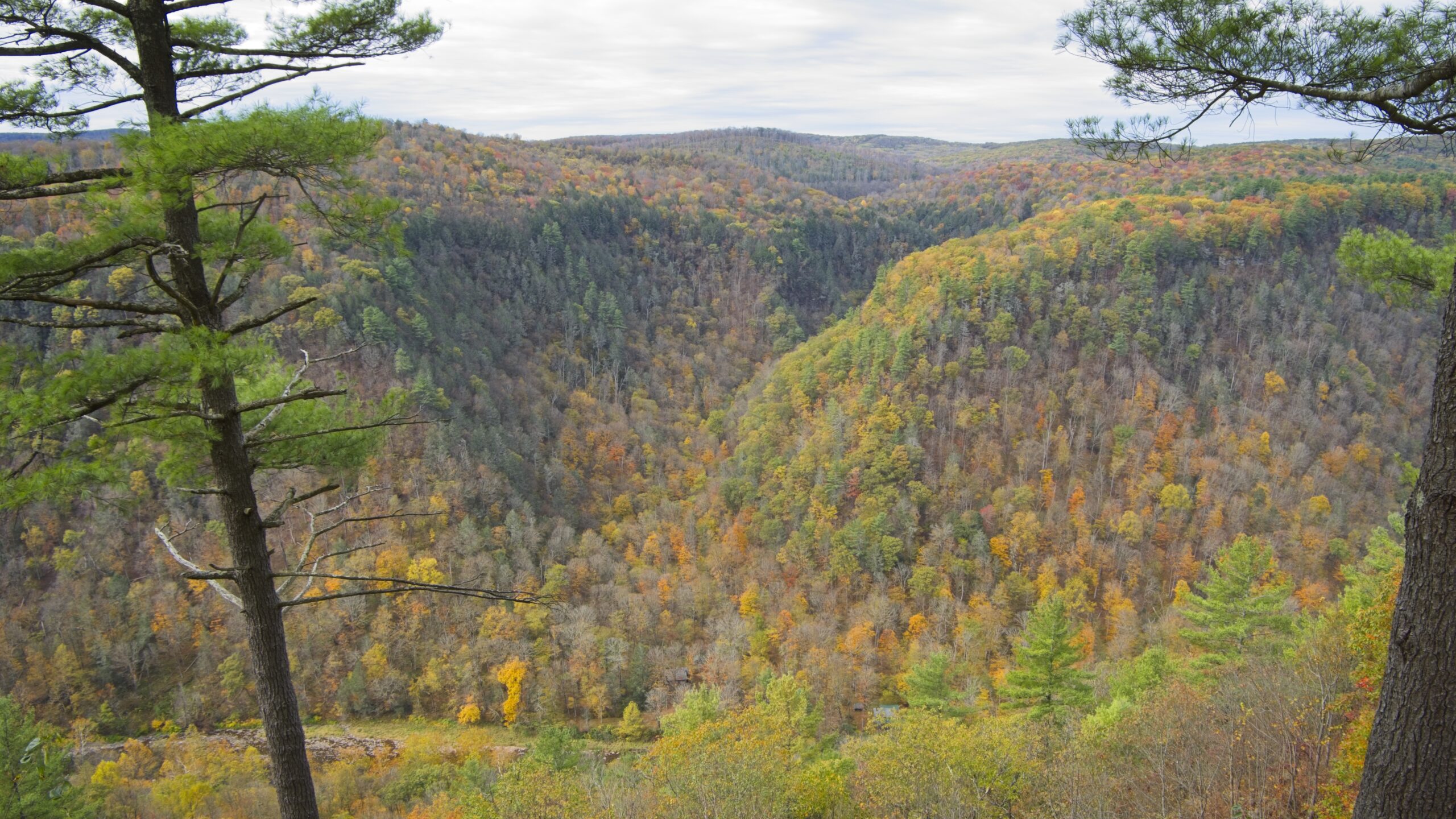
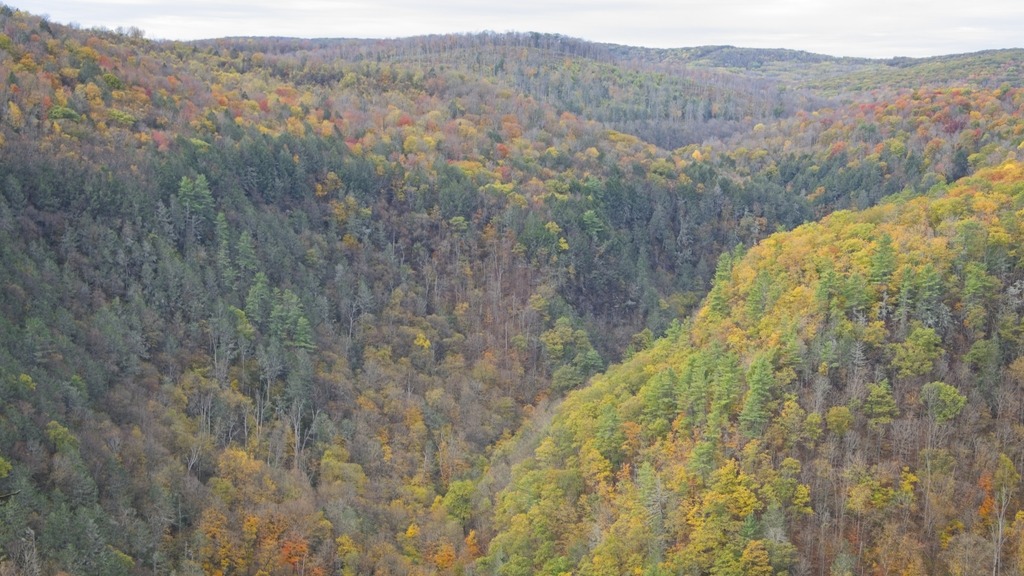
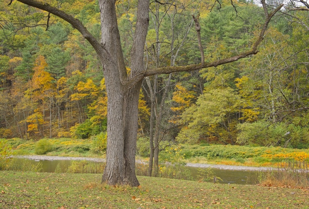
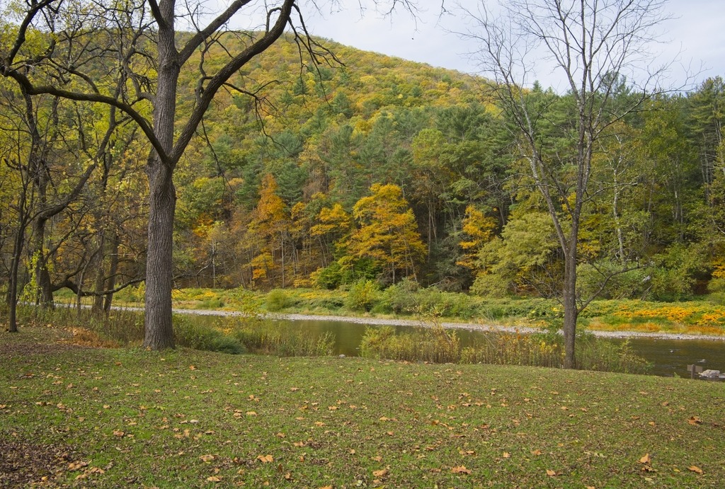
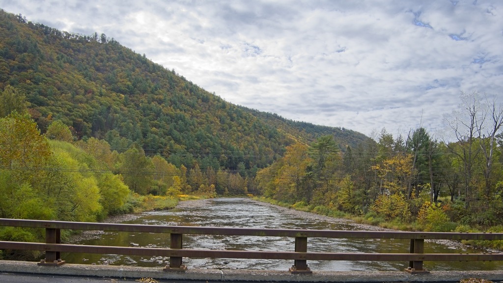
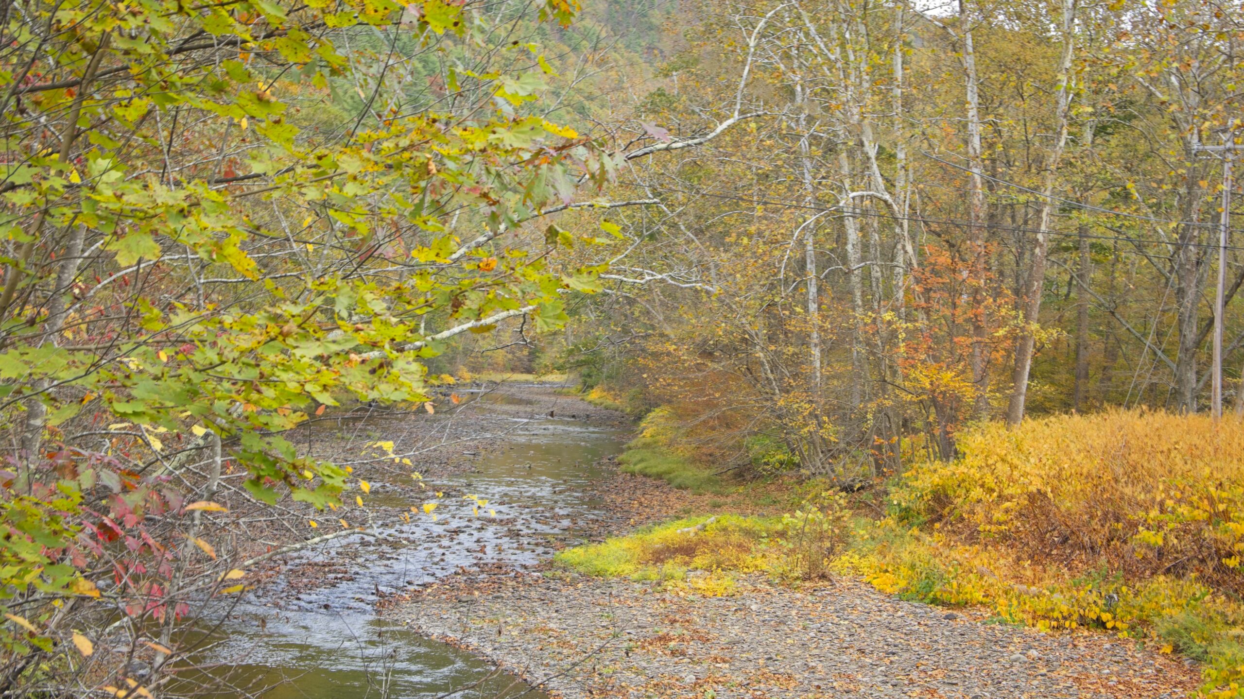
Pine Creek Gorge is a 47-mile (76 km) gorge carved into the Allegheny Plateau by Pine Creek in north-central Pennsylvania. It sits in about 160,000 acres (650 km2) of the Tioga State Forest. The gorge begins south of Ansonia, near Wellsboro, along U.S. Route 6 and continues south. Its deepest point is 1,450 feet (440 m) at Waterville, near the southern end.
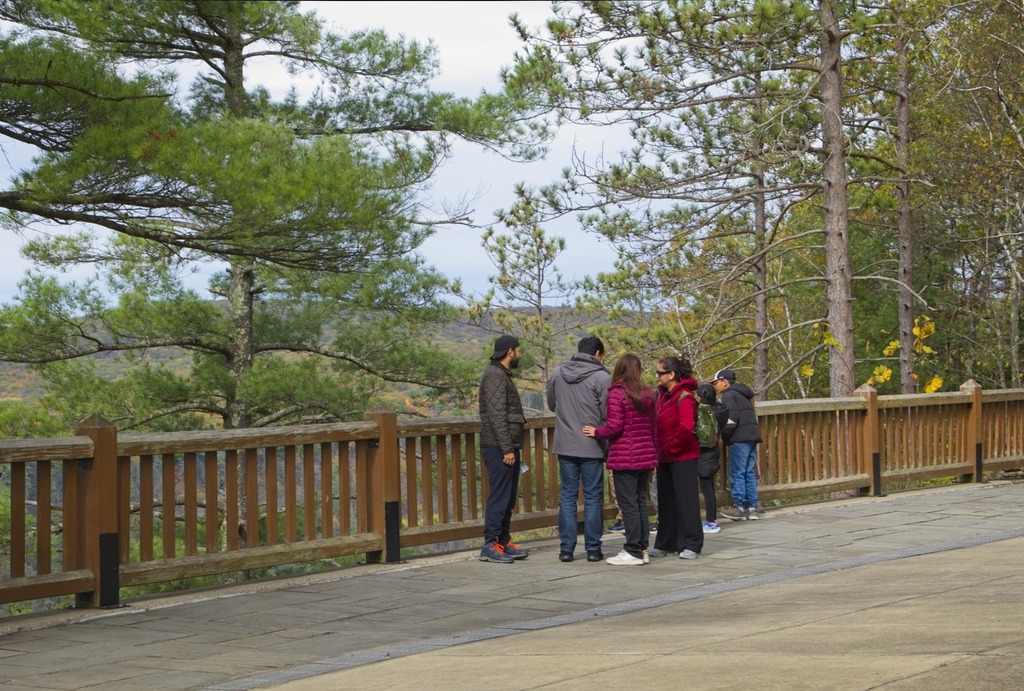
The Gorge has the unfortunate nickname of “The Grand Canyon of Pennsylvania.” Not only is this a wild exaggeration, but the area’s unique beauty deserves to stand on its own and does not require comparison. The area most associated with the Gorge is near Leonard Harrison and Colton Point State Parks, where it is more than 800 feet (240 m) deep and the distance rim-to-rim is about 4,000 feet (1,200 m). I visited Leonard Harrison in October.


Near Waterville, Route 414 turns north up the Pine Creek valley. The southern part of this valley feels wider and has more towns along the banks of the stream. Most of this area is still in Lycoming County until just south of Blackwell. The Pine Creek area was the site of major logging activity from the late 18th through early 20th century and is now a major hub for recreation. Much of the now second-growth forest is protected by a network of parks, state game lands and state forest,


The town of Wateville sits near the confluence of Pine and Little Pine Creeks in Lycoming County. It is a popular jumping off point for exploring the Pine Creek Valley and the Pine Creek Rail Trail, with a restaurant, bar, hotel and a convenience store with a gas station.


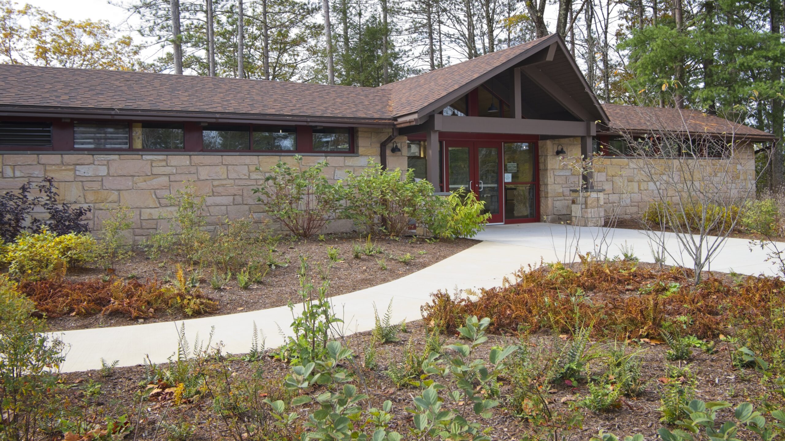
Up Route 44 from the town is the Tiadaghton Forest District Office. It is a large building with exhibits and the grounds are scenic. Though most of Tiadaghton State Forest’s 146,539 acres reside in Lycoming County, some tracts extend into Tioga County, Potter County, Clinton County and Union County. Tiadaghton’s forest features high-country flats bisected by clean, fast-moving mountain streams, including Pine Creek and Slate Run. It is one of eight state forests located in the Pennsylvania Wilds region.


Here are some photos of a recent trip to State Game Lands 110 and 211. SGL 110 is northwest of Hamburg. This game land runs along the top of a ridgeline on Blue Mountain. The Appalachian Trail also travels through this area. The leaves were starting to change color when I was there:


I next travelled into Dauphin and Lebanon Counties to visit State Game Land 211, the home of the Stony Valley trail, a former railroad bed belonging to the Dauphin and Susquehanna Railroad. This area was formerly the site of small towns supported by mining, timbering, ice harvesting and spring water bottling. The eastern end of the trail runs along side a well-known beaver pond.


On my travels I took a drive through the Allegheny National Forest on Route 59. I was particularly interested in the dam, which I did not remember viewing on a previous trip. Forest surrounds the 7,647-acre reservoir that spans the border between Pennsylvania and New York. In Pennsylvania, the reservoir is completely surrounded by the Allegheny National Forest, and in New York State by Allegany State Park and the Allegany Indian Reservation of the Seneca Nation. At normal summer pool level the reservoir is 27 miles long, 14 miles in Pennsylvania and 13 miles in New York, with 91 miles of shoreline, and a maximum depth of 130 feet.


The 862-acre Chapman State Park includes the 68-acre Chapman Lake on the West Branch of Tionesta Creek. Adjacent to state game lands and the Allegheny National Forest, Chapman is an oasis of recreational facilities in a vast area of wilderness. There is a lake with swimming, a campground and other activities available.


The Clarion River area is one of the most scenic in Pennsylvania. One of its jewels is a 13-mile stretch of the the river that flows through Cook Forest State Park and is popular for canoeing, kayaking, and tubing.
The 8,500-acre Cook Forest State Park and 3,136-acre Clarion River Lands lie in Clarion, Forest and Jefferson Counties. The Cook Forest Association was formed in the 1920s to save the few areas of surviving old growth timber. Endorsed by national natural resource groups and Governor Gifford Pinchot, the association raised $200,000, which helped the commonwealth purchase 6,055 acres from A. Cook Sons Company in 1927 for $640,000. Cook Forest became the first Pennsylvania state park acquired to preserve a natural area. It was later designated a National Natural Landmark.


I also visited Clear Creek State Park which is 11 miles from Cook Forest. The park encompasses 1,901 acres in Jefferson County and occupies a scenic portion of the Clear Creek Valley from PA 949 to the Clarion River. It has camping, rustic cabins, and Clarion River access for fishing and boating.
I left Austin and proceeded south to Sizerville State Park. This park reminds me of Hyner Run or Reeds Gap. It is a quiet park with a small campground and a pool. Alas, the pool at Reeds Gap is gone, but this type of park remains one of my favorites. The 368 acre Sizerville is surrounded by Elk State Forest and near large blocks of additional state forest land. If it wasn’t so far, I’d like to come back here.


I then made the long journey to Kettle Creek State Park. In retrospect, I should have done this the day before as continuation of my trip to Ole Bull, but now I know better. The park consists of 1,793 acres along Kettle Creek in western Clinton County. The park is in a valley surrounded by mountainous terrain and wilderness. Many of the existing recreational facilities arose from a joint flood control project developed by the U.S. Army Corps of Engineers and the former Pennsylvania Department of Environmental Resources. The park offers camping, boating, hunting, fishing, hiking, and other activities.


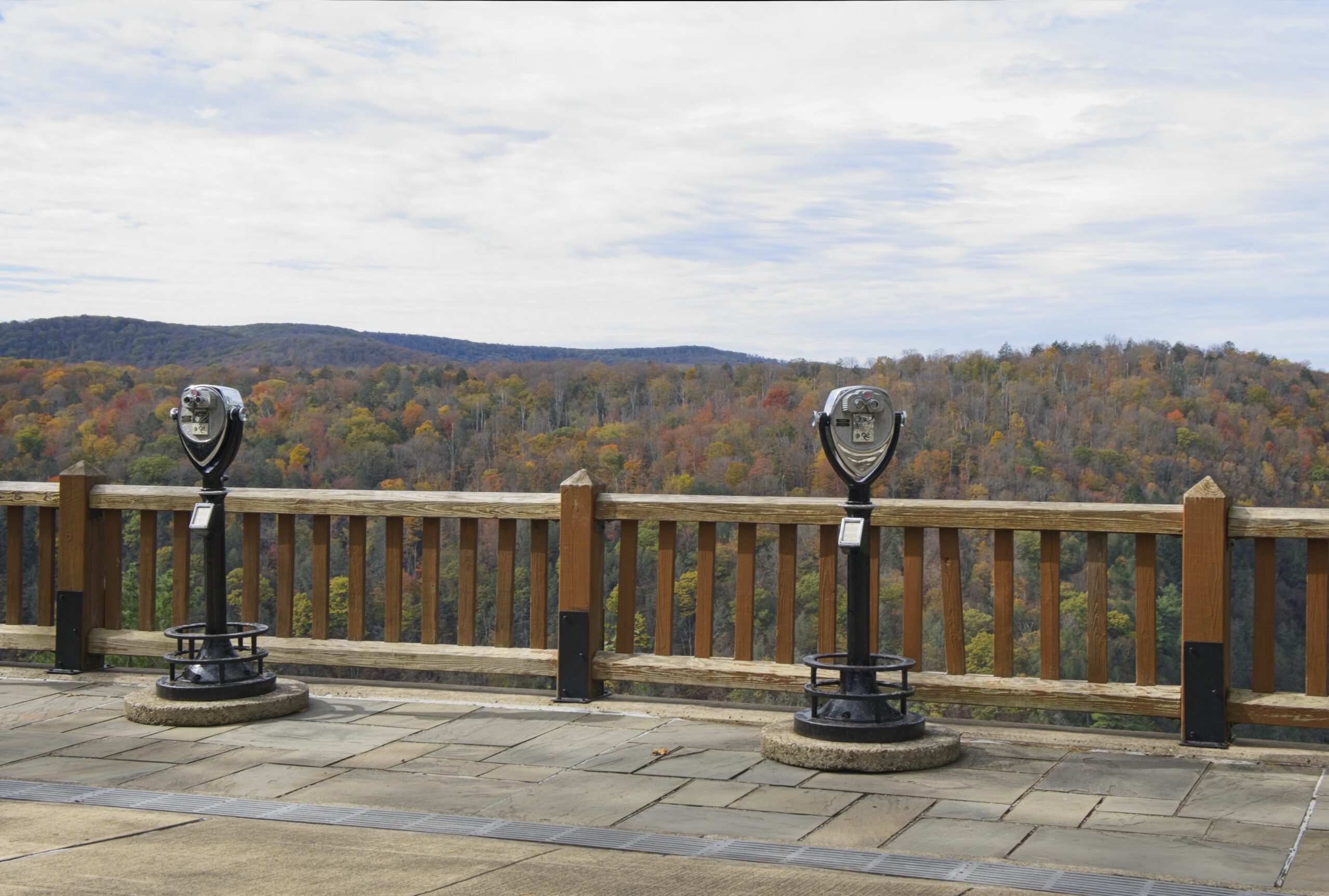
I thought I might be able to save some time getting to Sinnemahoning State Park by driving up to Kettle Creek Vista then cutting across the ridge and down the other side. Of course there were no roads down into the other valley, because there was another lake, with (you guessed it) another dam.

I made the trek back down the valley to highway north to Sinnemahoning State Park. The park, located near the center of the Pennsylvania Wilds’ scenic steep valleys region, encompasses 1,910 acres of beautiful scenery and outstanding wildlife habitat. Situated in Cameron and Potter counties, the park is nestled between the green-shouldered ridges of Pennsylvania’s Elk State Forest and Susquehannock State Forest. The park is long and narrow and includes lands on both sides of First Fork Sinnemahoning Creek — a major tributary to the Sinnemahoning Creek. At the southern end of the park, a 145-acre reservoir created by the George B. Stevenson dam provides fishing and boating opportunities. There is a campground and excellent wildlife viewing opportunities, including elk, bear, and large variety of birds.


The drive north on Route 44 continues with a visit to Patterson State Park. This park sits directly on Route 44 and provides picnicking and a few camping sites. The Susquehanock Trail System passes right near the park, which acts as a trailhead. The park would also be a good overnight camp spot for those doing the entire loop.


Next up was one of the most confounding parks in the entire system – Prouty Place State Park. The five-acre Prouty Place State Park is five miles southwest of PA 44 along Long Toe Road. This remote park offers access to hunting, fishing, and hiking within the surrounding Susquehannock State Forest. There is a grassy area and gazebo with a nonoperational water pump and a notice board. The park feels very remote, yet only a short distance down Long Toe Road were a few very substantial houses a large man-made pond.
Prouty Place was designated a Class “B” campground by the Pennsylvania Department of Forestry from 1922 to 1925. During the Great Depression, the Civilian Conservation Corps built a picnic area and campsites between 1935 and 1938. Prouty Place State Park officially became part of the Pennsylvania State Parks system in 1957. The park is a short distance from the Susquehannock Trail System, and is connected to it by a link trail. Prouty Place is tied for second smallest state park in Pennsylvania with Upper Pine Bottom State Park (which we visited in our last installment). Only Sand Bridge State Park (another picnic area) is smaller.


My trip on this Juneteenth weekend began in earnest when I turned left from Route 15 onto Route 44 in Lycoming County. I was soon at my first stop of the day.
Upper Pine Bottom State Park is one of the smallest parks in the state park system, measuring in at 5 acres. It provides picnic tables next to a stream and access to hunting and fishing. It also acts as an entry point for hiking and cross country skiing in the nearby Tiadaghton State Forest.


My next stop was Ole Bull State Park which lies off Route 44 and a short distance down Route 144. Ole Bull State Park consists of 132 acres along the Kettle Creek Valley in Potter County in an area called the Black Forest because of its dense tree cover, mountainous terrain, and wilderness habitat. The park has a fascinating history. It is named for Ole Bornemann Bull, the famous Norwegian violinist who toured the United States in the 1850s. In 1852, Ole Bull purchased a large tract of land in Potter County and attempted to develop a series of Norwegian settlements. He began construction of a home, at what now is called Ole Bull Vista, which has never finished. After a year of severe hardships, the majority of the colony disbanded and moved west into Michigan and Wisconsin.
The park has swimming in Kettle Creek, a campground, and the usual array of state park activities.


Lyman Run State Park was next on the list. One of several parks in this area with a dam, it has a 45 acre lake, swimming, camping, boating and other activities.


A daytime visit to Cherry Springs State Park followed. This park is well known for being one of the best spots on the east coast for dark nighttime skies and astronomical viewing. The park has a public astronomy field for short term viewing and an overnight field. There is also a campground and opportunities for hiking.


This park is beloved, but I have to admit I was a bit disappointed when I returned the following night. The weather was fairly clear with low humidity, and the moon was below the horizon. However, I didn’t feel that the number of visible stars was significantly better than what I could see an hour from home in southeastern Pennsylvania. I didn’t attempt to photograph any. I have seen much better displays of stars during my adulthood in the Florida Keys and on the eastern shore of Maryland.
Near the park is Cherry Springs Vista, which sits directly on Route 44.
