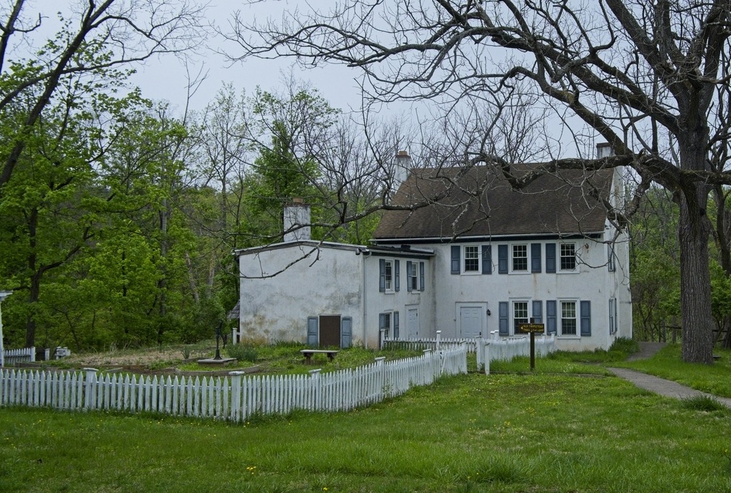
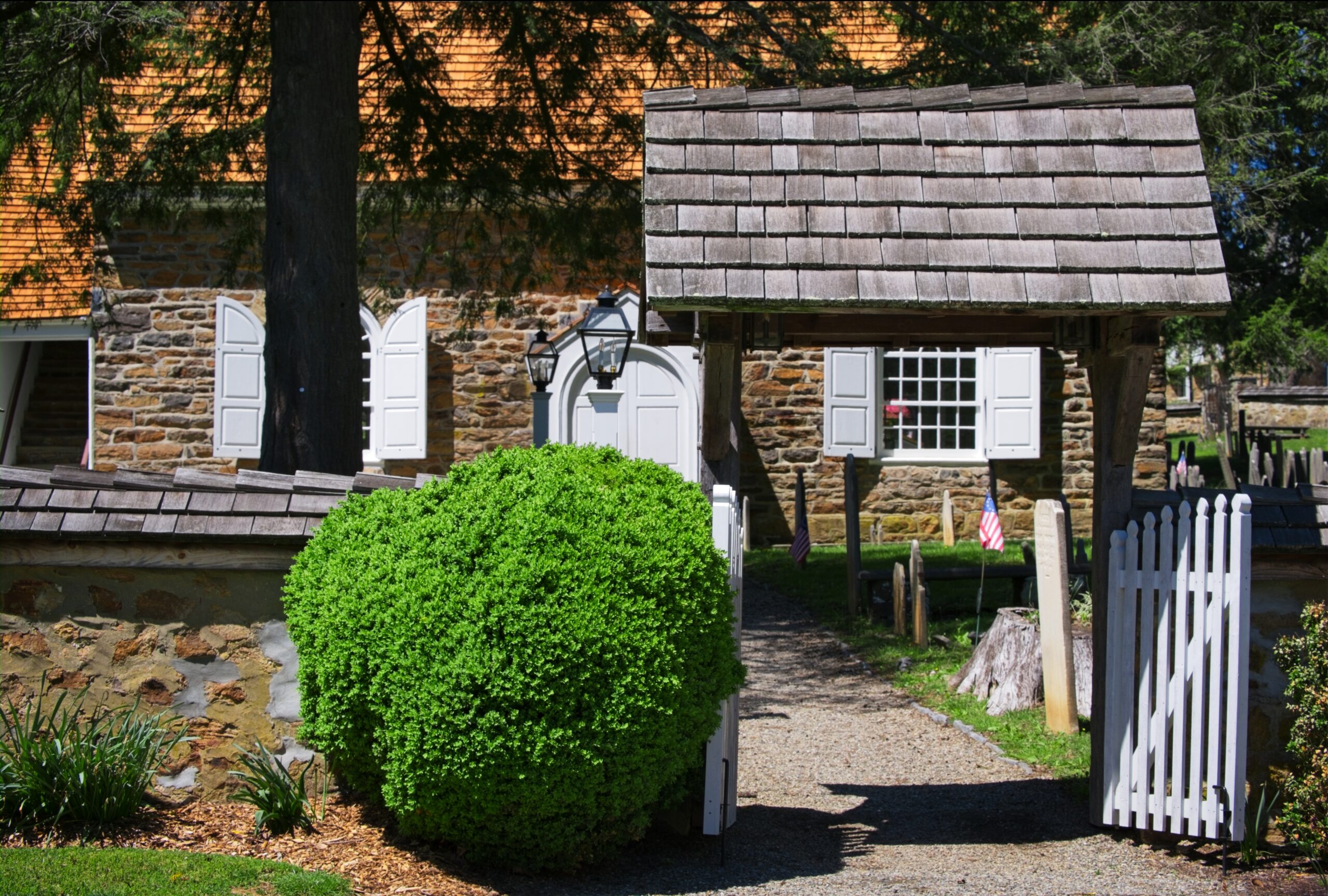
Kuster Mill, also known as Custer’s Fulling Mill and Skippack Creek Farm, is a historic fulling mill in Evansburg State Park on Skippack Creek in Montgomery County. The complex includes three contributing buildings and one contributing structure. They are the original mill, mill race, a stone house, and a Dutch bank barn. It was added to the National Register of Historic Places in 1971.
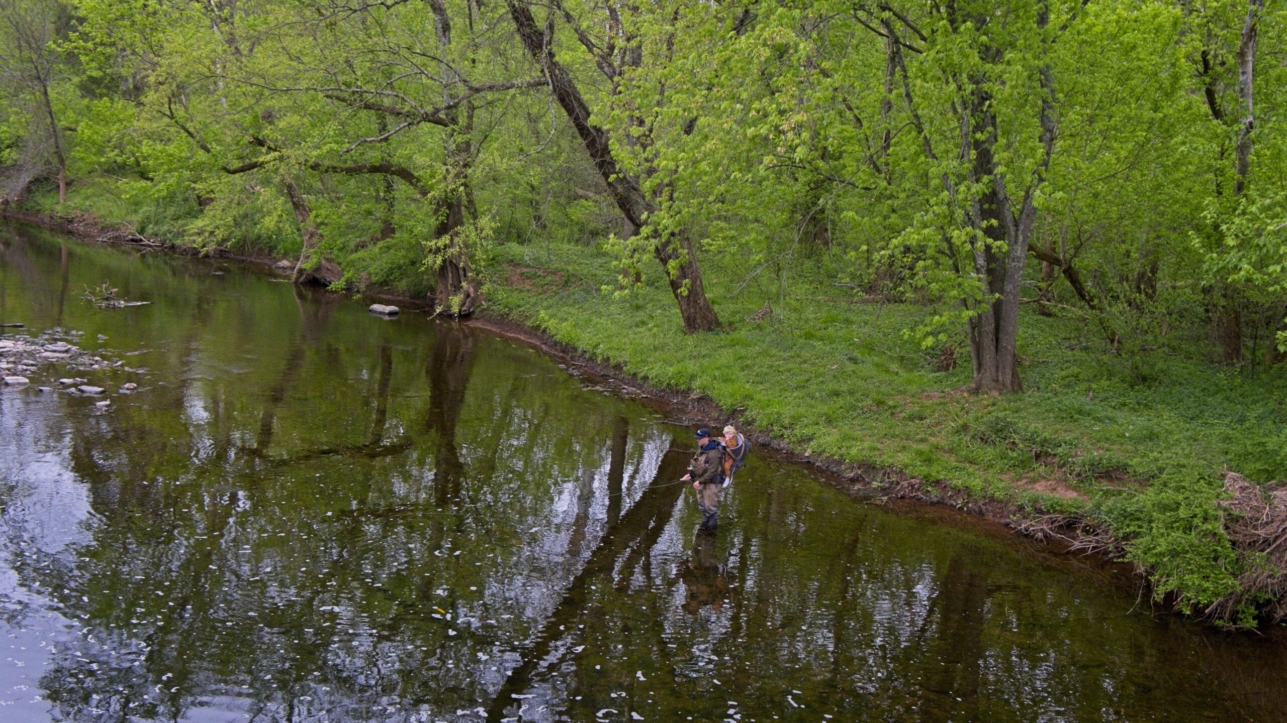
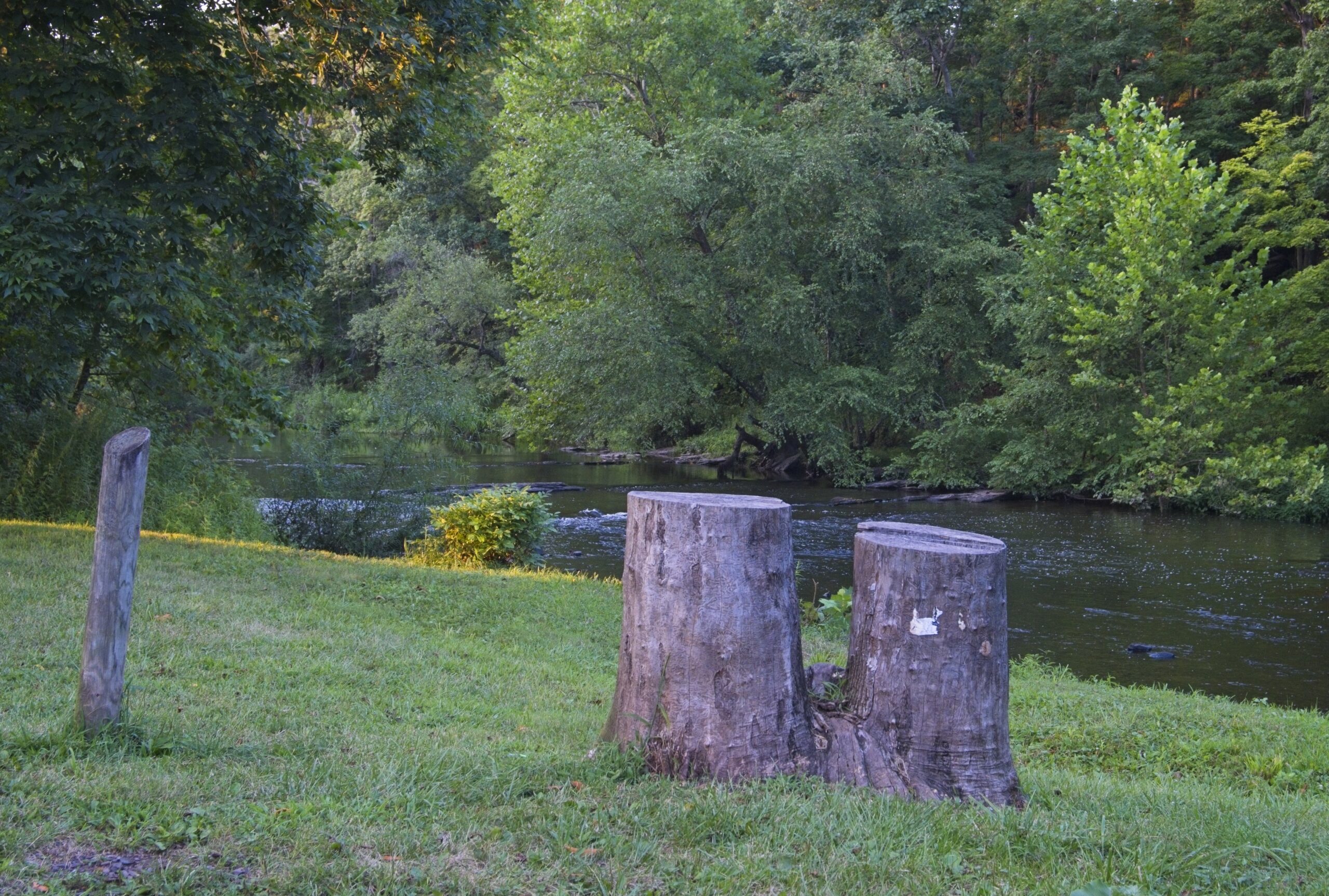
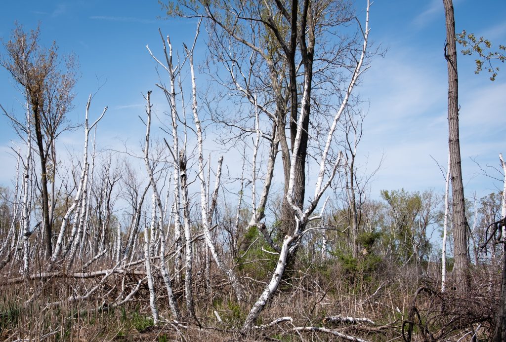
Today, the area is popular with fishermen and walkers in Evansburg State Park. I visited on a day in April when trout season was underway. The weather was grim, but that was not much of a deterrent to those enjoying the park.
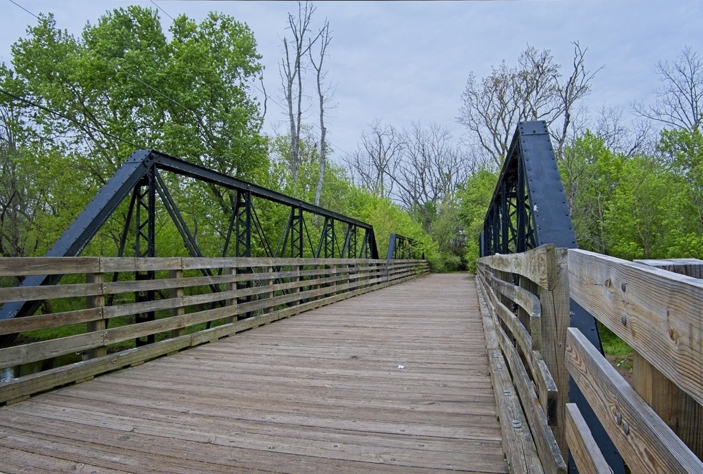
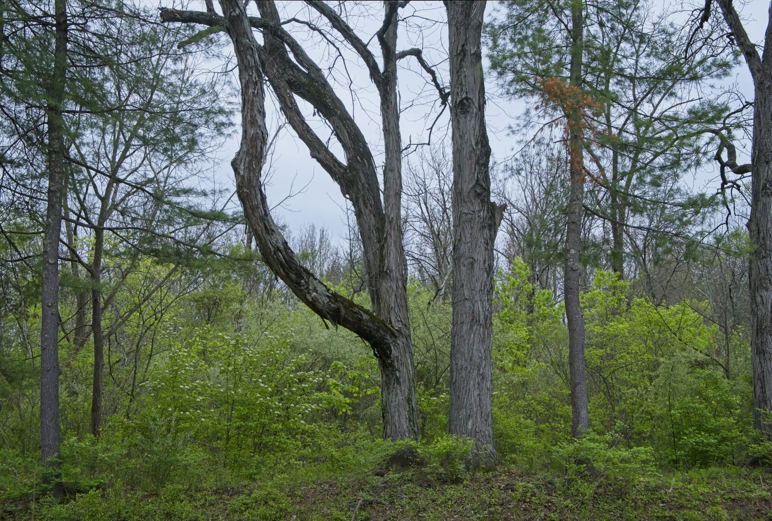
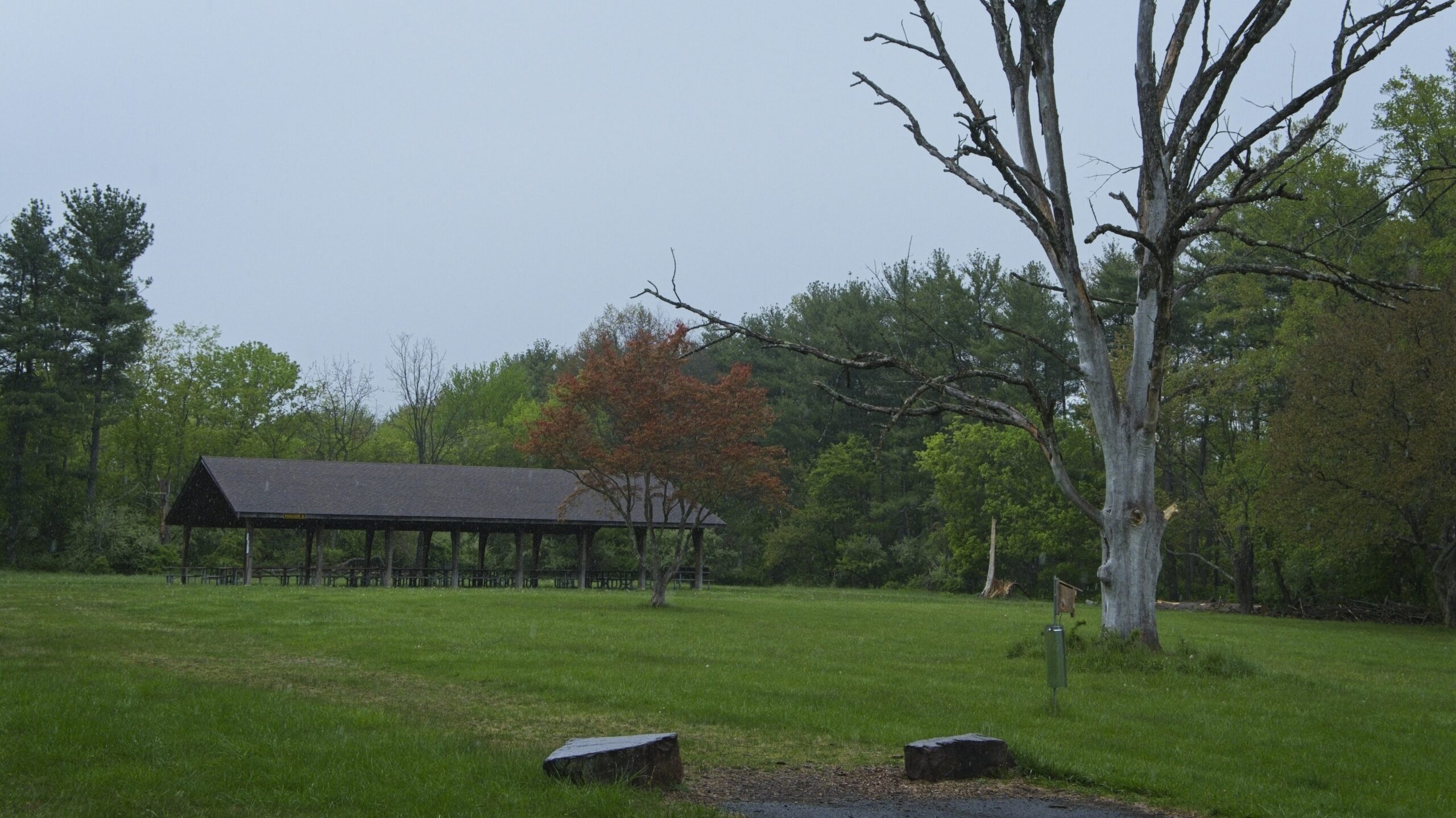
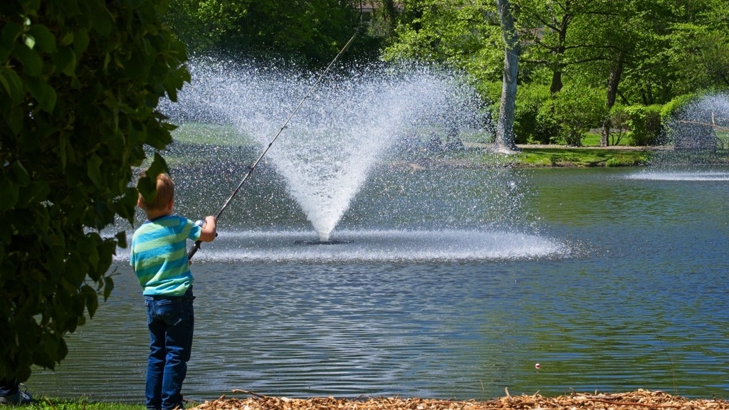
The pedestrian bridge.Fishing is family affair here.You have to wonder how trees get like this,The Friedt Visitor Center at Evansburg State Park.Along Arcola Road
A trip into Bucks County led me to several covered bridges. Near the Cabin Run Covered Bridge is Tohickon Valley Park, a pleasnt spot with parking, picnic tables and fishing access to the Tohickon Creek. It is close to several other county parks. The 612-acre Tohickon park also has playgrounds,hiking, ball fields, and a swimming pool in season. Overnight stays include group and family camping and cabins on 22 campsites. It is deceptively large, which is why I missed a portion of it when I was there.
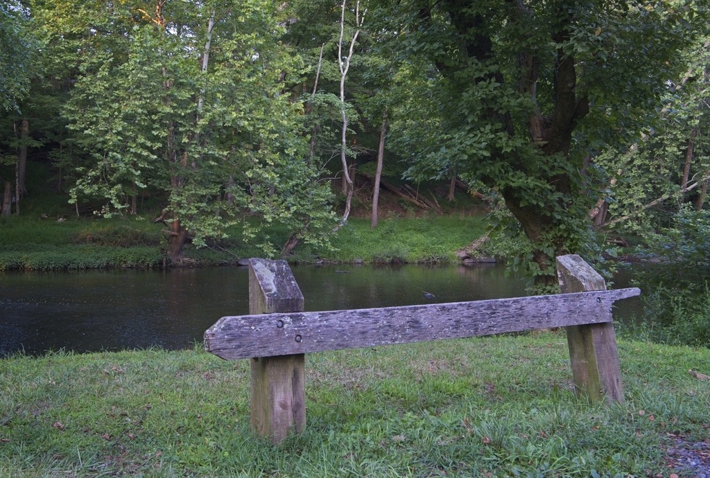
Views of Tohickon Creek.
Nockamixon State Park has been featured on this blog before.so I will not go into detail here. It is a large park in Bucks County with a lake, full service marina, hiking, picnicking, hunting and fishing. It is actually a decent location for astronomy close to the city of Philadelphia. The Tohickon boat launch area is used for astronomy and provides fairly open horizons and a 20.10 mag/arssec^2 sky.
The Willows Park Preserve in northwestern Delaware Country has been a popular spot for birding, fishing, picnicking and walking for decades. Built in 1910, the Willows Mansion is surrounded by 47.5 acres of public park with water, meadow, woodland and garden views. Closed for nearly a decade, the deteriorating mansion sits idle while park life carries on. However, efforts to restore the Mansion are ongoing. It was once a very popular wedding reception venue.
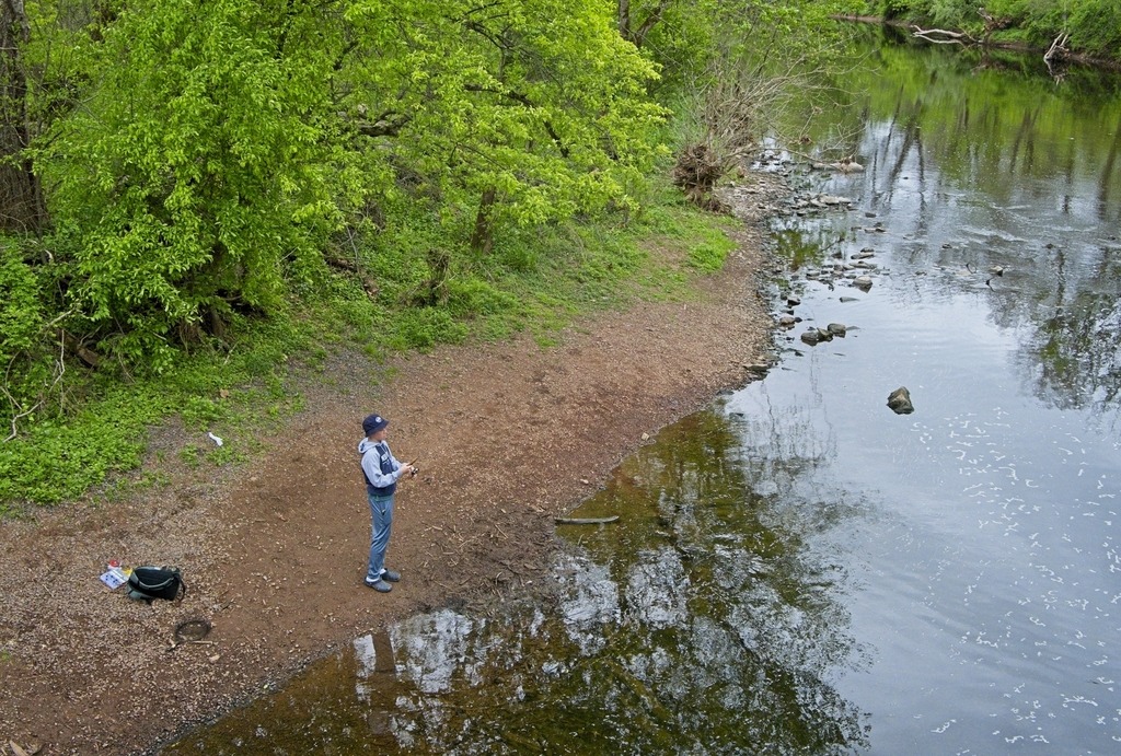
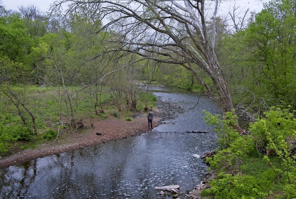
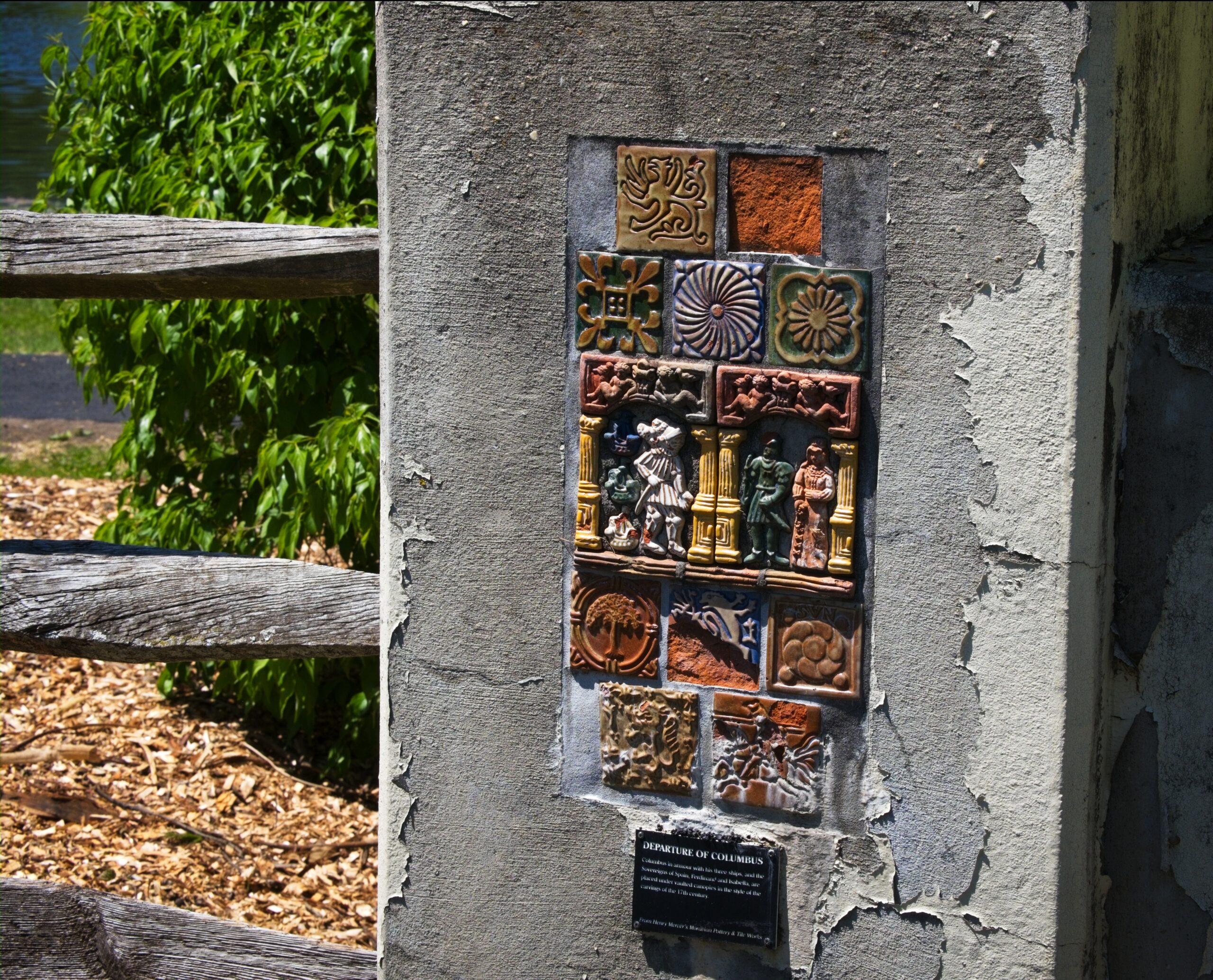
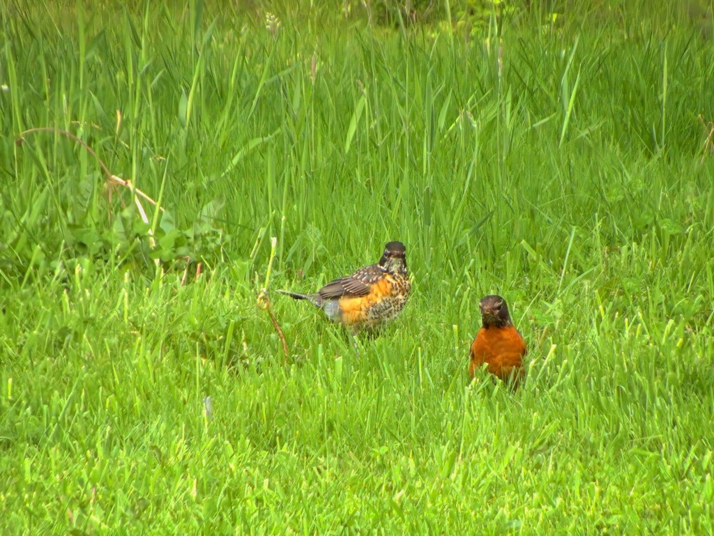
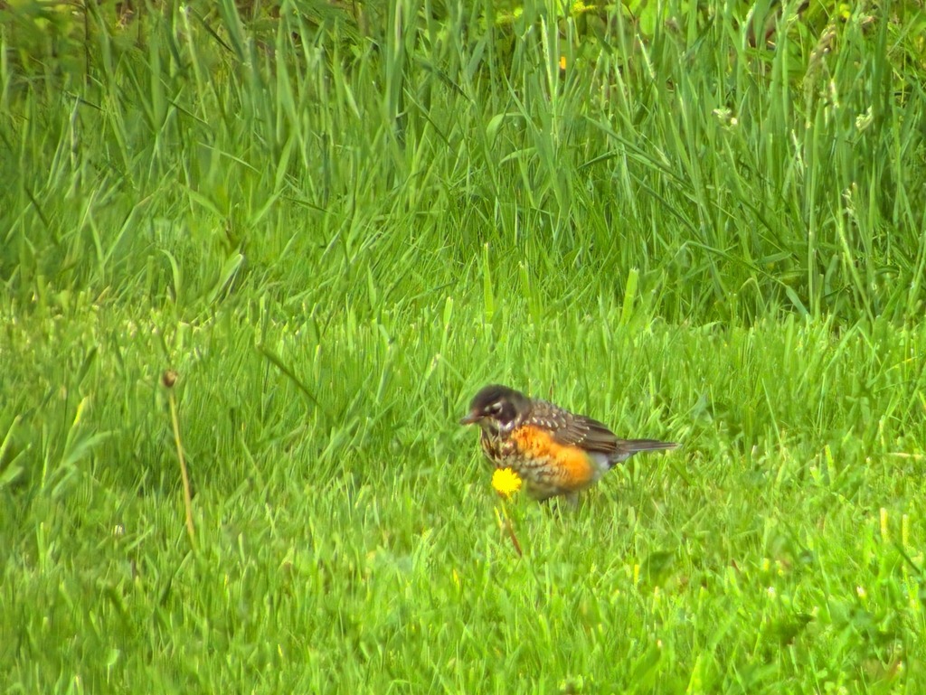
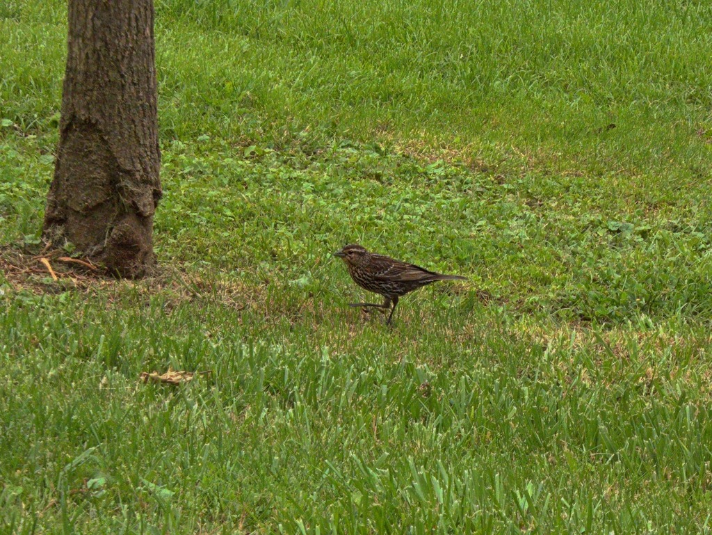
The pond, fed by Little Darby Creek, is popular with fisherman. The stream is stocked.Who you looking at?Some interesting tiles on the bridge over Little Darby.He’s behind me, right? Parent Robin pursued by begging fledgling.A good look at a fledgling robin.Looks like a female red-winged blackbird.
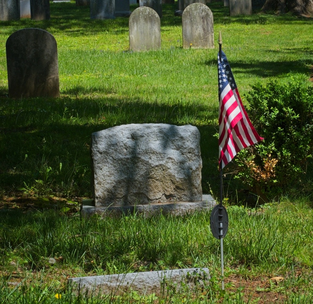
I made another stop that day at St. Davids Church, which lies mostly within Radnor Township, Delaware County. The parish is more than 300 years old. Toward the close of the seventeenth century, a hardy group of Welsh colonists settled in an area which became known as Radnor. In 1704, a 100-signature petition for Welsh prayer books and a Bible, but more particularly for a Welsh-speaking missionary, was dispatched to the Society for the Propagation of the Gospel in London. Ten years later, in return for this long-awaited recognition, the settlers “heartily engaged themselves to build a handsome stone church,” to be named after the Patron Saint of Wales. The cornerstone was laid on May 9, 1715.
With the coming of the Revolution in the colonies, a rapidly swelling wave of resentment against the Church of England arose among the patriots of the congregation. A leader of this opposition was Anthony Wayne, later appointed major general of the American forces, who is buried in St. David’s historic churchyard. The church building provided shelter for soldiers of both sides.
A view of the original church.The churchyard is a tranquil place.Some lovely color on these trees in late Spring.As an old church, there are some interesting mausoleums.
Lake Somerset is a 253-acre impoundment just north of Somerset (duh). It is owned by the Commonwealth of Pennsylvania and managed by the Fish and Boat Commission for public fishing and boating. The Commission’s Southwest Region Office is located at the lake. I stopped on a previous trip and couldn’t resist a return visit. It was great spot for some more Spring birding.
We will start at the north end and work our way south.A very nice fishing pier.These geese had several youngsters.
I made my way into Lycoming County back in September. Before we head there, here are some remaining shots of Sullivan County, featuring the town of Muncy Valley. This particular house, on a sharp turn on Route 42, is always decked out with lots of flowers, in season.
The view from the firehouse across the road.
I travelled into Lycoming County on this trip because I specifically wanted to see Rose Valley Lake, which is known as a birding area. The lake is a reservoir that covers 389 acres (1.57 km2) in Gamble Township. The three-hundred-and-sixty-acre artificial lake is owned by the Commonwealth of Pennsylvania, and was given its name, “Rose Valley Lake,” in May 1973 by the Pennsylvania Fish Commission, following approval by the commonwealth’s Geographic Names Committee. Created by the Pennsylvania Fish Commission, via the construction of a twenty-five-foot-high, four-hundred-and-ten-foot-long earthen dam on Mill Creek in Lycoming County, Pennsylvania, Rose Valley Lake is a three-hundred-and-sixty-acre artificial body of water. The most common game species of fish in the lake are largemouth bass, bluegill, black crappie, muskellunge, yellow perch, chain pickerel, pumpkinseed and walleye.
The area around the lake is quite scenic.A small church in Lycoming County.A valley farm.Another interesting old church.Mt. Zion Lutheran Church. A lot of ancestors and relatives are buried here.Eating lunch at the Lairdsville Cornerstone Restaurant.An interesting player piano.And an old stove.
Finally, the Lairdsville Covered Bridge is a wooden covered bridge over Little Muncy Creek in Moreland Township, Lycoming County. It was built in 1888 and placed on the National Register of Historic Places in 1980. It is also known as the Frazier Covered Bridge. The window with the exposed beams is a unique feature.
Located in Somerset County, Lake Somerset is a 253-acre impoundment owned by the Commonwealth of Pennsylvania and managed by the Fish and Boat Commission for public fishing and boating. The lake historically has stocked the lake with Channel Catfish, Muskellunge and Walleye fingerling. Fish habitat structures have been placed in the lake over the years a fish habitat improvement program. Boating is limited to boats powered by electric motors and un-powered boats. Two launch ramps are available along with associated parking facilities. Un-powered boats may be moored at the lake in accordance with Commission property regulations. The lake was extensively renovated beginning in 2017. The county has created a nature park around the lake. It seems like a lovely amenity for the region for birding and walking as well a boating and fishing.
There was a small boat concession operating at the lake.This fishing pier seemed quite popular.
Near the Pittsburgh metro area, Raccoon Creek State Park is one of Pennsylvania’s largest and most visited state parks. It began as a Recreational Demonstration Area operated by the National Park Service in the 1930s during the Civilian Conservation Corps (CCC) era. The park encompasses 7,572 acres and features the beautiful 101-acre Raccoon Lake. Facilities are a mix of modern and rustic with group camps from the CCC era.
I wonder if this guy will have better luck fishing.Some of the park cabins …
The nearby Hillman State Park is managed for hunting by the Pennsylvania Game Commission. Hiking trails are open to the public. Horseback riding, cycling and other activities are also available. The park also has a model airplane field, an unusual feature. I actually screwed up when visiting here. It looks like one of the main features of the park is a covered bridge, and I managed to miss it.
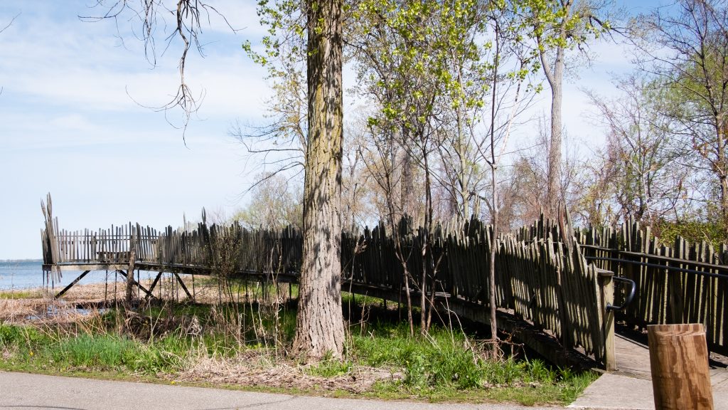
Presque Isle State Park is a 3,200-acre sandy peninsula that extends into Lake Erie and is the state’s only “seashore.” It offers a beautiful coastline and many year round recreational activities, including swimming, boating, fishing, hiking, bicycling, and in-line skating. It is a significant birding hotspot. The Tom Ridge Environmental Center is near the entrance to the park.
The neck of the peninsula is attached to the mainland four miles west of downtown Erie. The peninsula creates Presque Isle Bay, a wide and deep harbor for the city of Erie. The bay attracts many pleasure boats and worldwide freight traffic, making Erie an important Great Lakes shipping port.
A National Natural Landmark, Presque Isle is a favorite spot for migrating birds. Because of the many unique habitats, Presque Isle contains a greater number of the state’s endangered, threatened, and rare species than any other area of comparable size in Pennsylvania.
The North Pier Lighthouse.The Presque Isle Lighthouse.These structures take the term ‘houseboat” literally.The Perry MonumentSome views of wetland habitat that are so valuable for birds and other critters.
West along the shores of Lake Erie is the 587-acre Erie Bluffs State Park. The park offers one mile of shoreline, 90-foot bluffs overlooking Lake Erie, and access to Elk Creek, a shallow stream steelhead fishery. Significant natural features include several plant species of conservation concern, uncommon black oak woodland/savannah habitat, Great Lakes region sand barren ecosystems, and forested wetlands.
The Elk Creek access area provides fishing and boat launch areas.
My trip through western Pennsylvania led me through two parks with some of the largest lakes in the state.
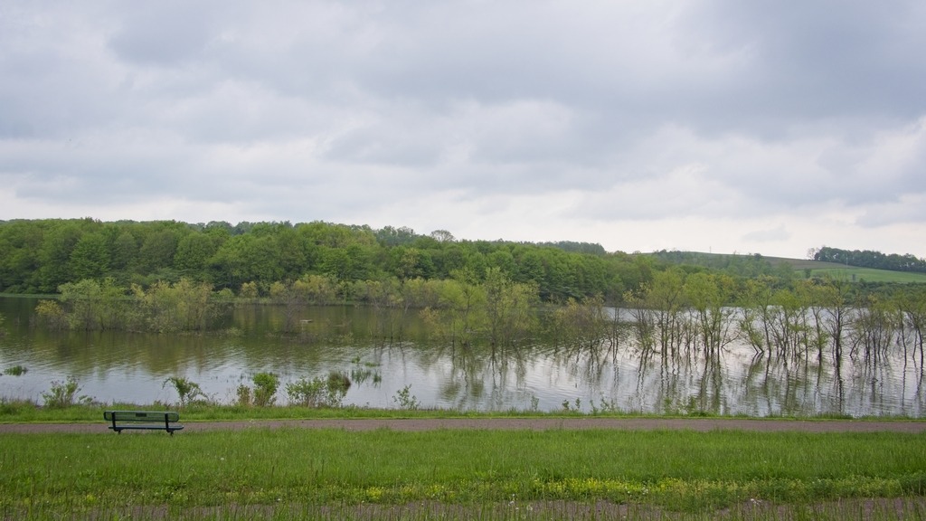
Maurice K. Goddard State Park in Mercer County contains the 1,680-acre Lake Wilhelm, which is popular with anglers and boaters. Many recreational activities, such as hiking, hunting, cycling, skating and picnicking, attract visitors in all seasons. The large lake, abundant wetlands, old fields, and mature forests provide a diversity of habitats for wildlife, especially waterfowl, eagle, and osprey.
Pymatuning State Park in Crawford County, at 16,892 acres, is one of the largest state parks. The 17,088-acre Pymatuning Reservoir (partially shared with Ohio) is the largest lake in the commonwealth. It is one of the most visited state parks in Pennsylvania. The many recreational opportunities include boating, fishing, swimming, and camping. In addition to the state park facilities, the Pennsylvania Fish and Boat Commission operates a fish hatchery and visitor center, and the Pennsylvania Game Commission has wildlife viewing areas.
My first stop was the dam at the southern end of the lake. It is the largest earthen dam that I have seen. The area around the lake is one of the few places that bald eagles nested continuously during their years of decline.
The 3,520-acre Swatara State Park consists of rolling fields and woodlands situated in the Swatara Valley, between Second and Blue mountains. Swatara Creek runs through the park and is surrounded by forests and wetlands that support an abundance of wildlife. The park is also a hotbed for fossil hunters.
In the past this landscape was dominated by a feeder branch of the Union Canal and then a railroad. Today, Swatara Park features a rail trail, hiking (including a few miles of the Appalachian Trail), fishing, hunting, cycling, horseback riding and kayaking.
The lovely rail trail.Off for a ride.The mountains are ablaze in Autumn.
Nearby Memorial Lake State Park consists of 230 acres at the the base of Blue Mountain in East Hanover Township, Lebanon County. The park is surrounded by Fort Indiantown Gap, the headquarters for the Pennsylvania Army and Air National Guard. The park is dominated by its lovely lake. It is a great spot for a picnic or some boating and fishing. There are also hiking trails at the park and and an exercise course.
Fort Indiantown Gap was named after the American Indian village known as Indiantown and the gap in the Blue Mountain where Indiantown was located. Indian artifacts found in the Lebanon and Swatara Valleys indicate a human presence as early as 2,500 BC.
Established in 1931, Fort Indiantown Gap was built as a National Guard training center. During World War II, it was used as a training site for seven Army divisions, and also as a demobilization site once the war was over. Memorial Lake was established in 1945 in memory of Pennsylvania National Guard soldiers who served in World War I and World War II. In 1955, Memorial Lake was transferred to the Pennsylvania Department of Conservation and Natural Resources and became Memorial Lake State Park.
I would love to have a canoe moored here.Done fishin’ for the day.A beutiful picnic spot.Let’s just enjoy the beauty of the lake.A great view of Memorial Lake.