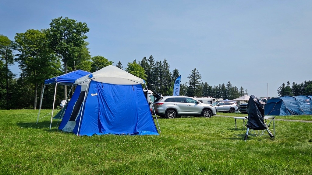
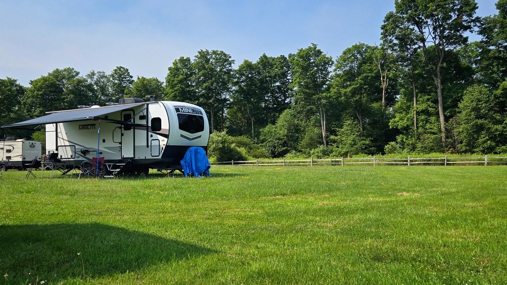
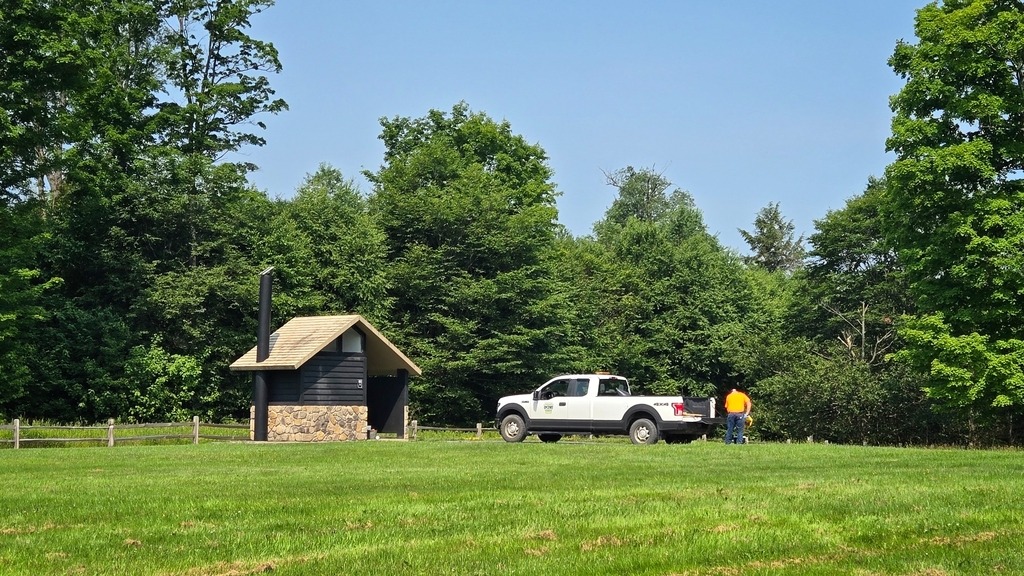
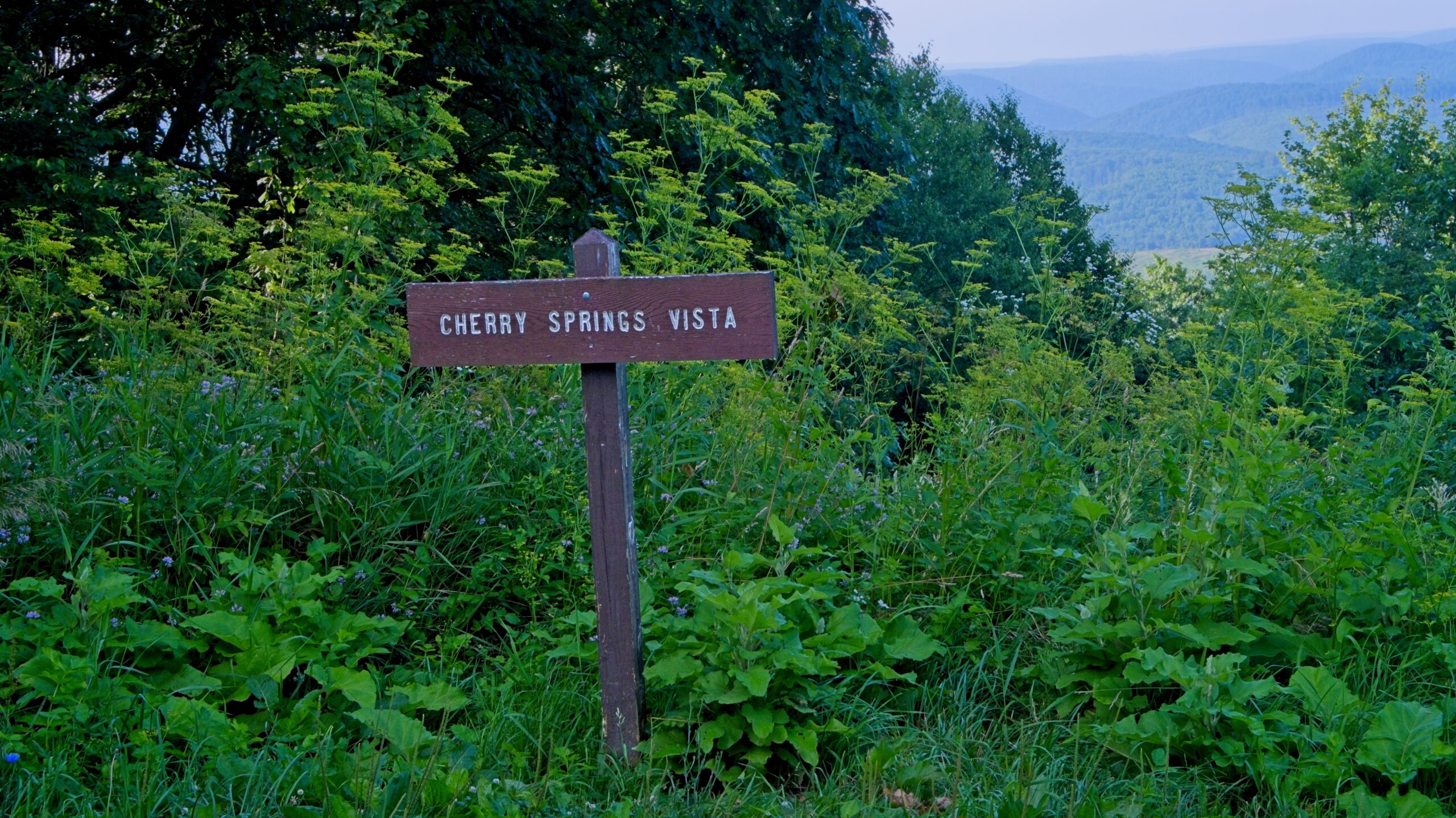
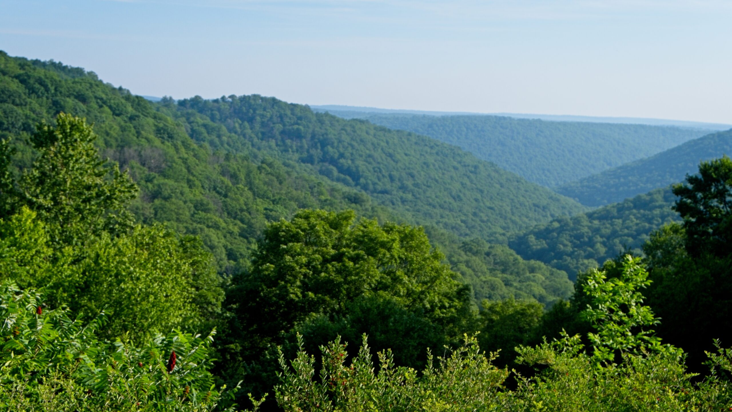
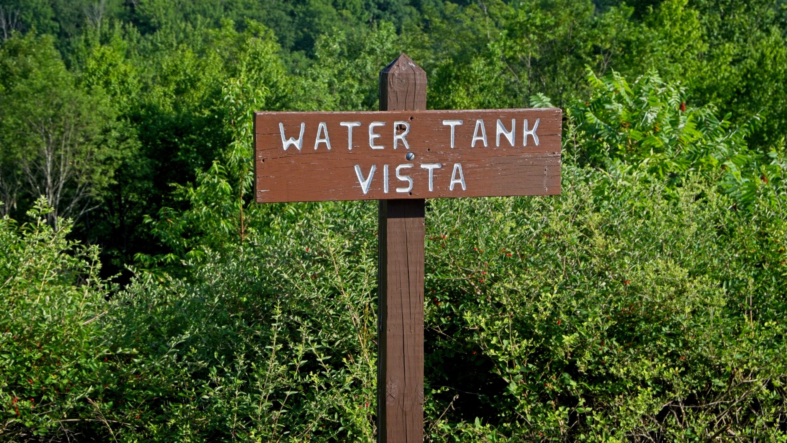
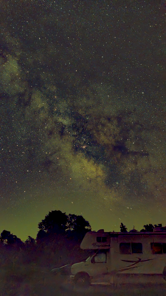
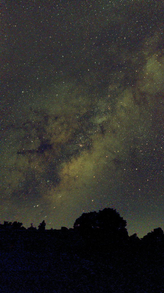
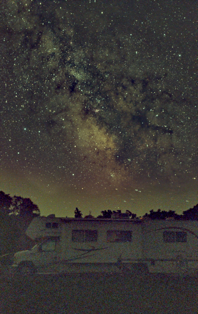
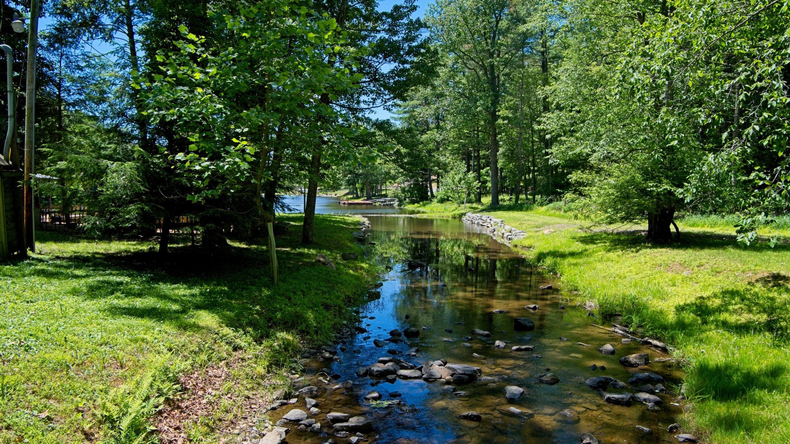
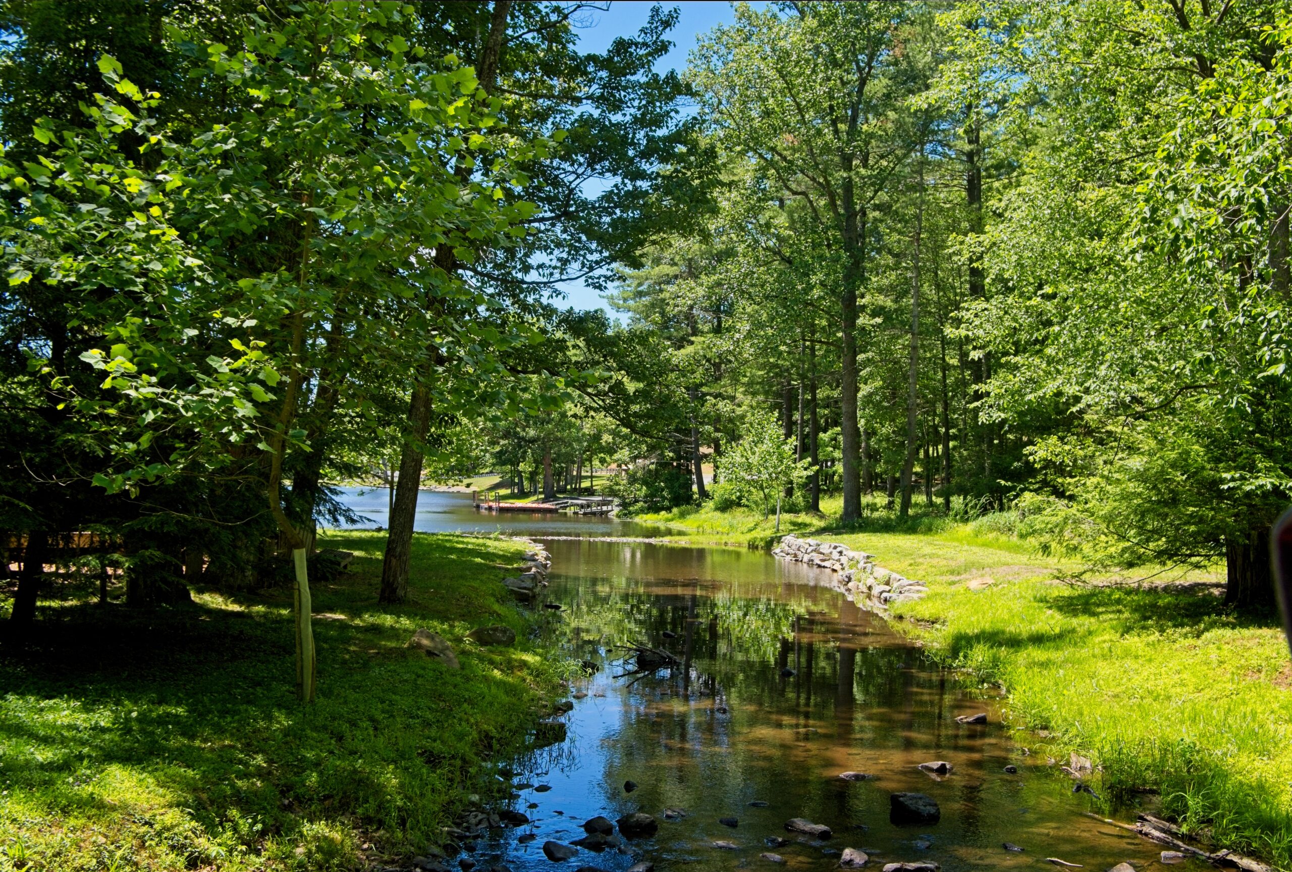
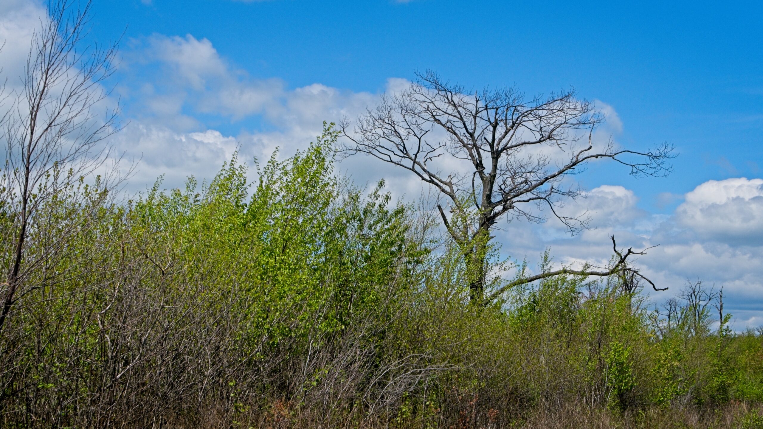
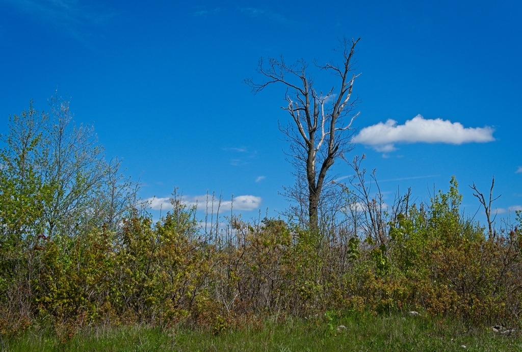
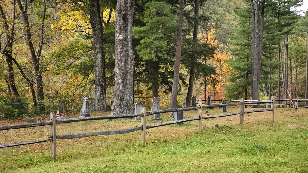
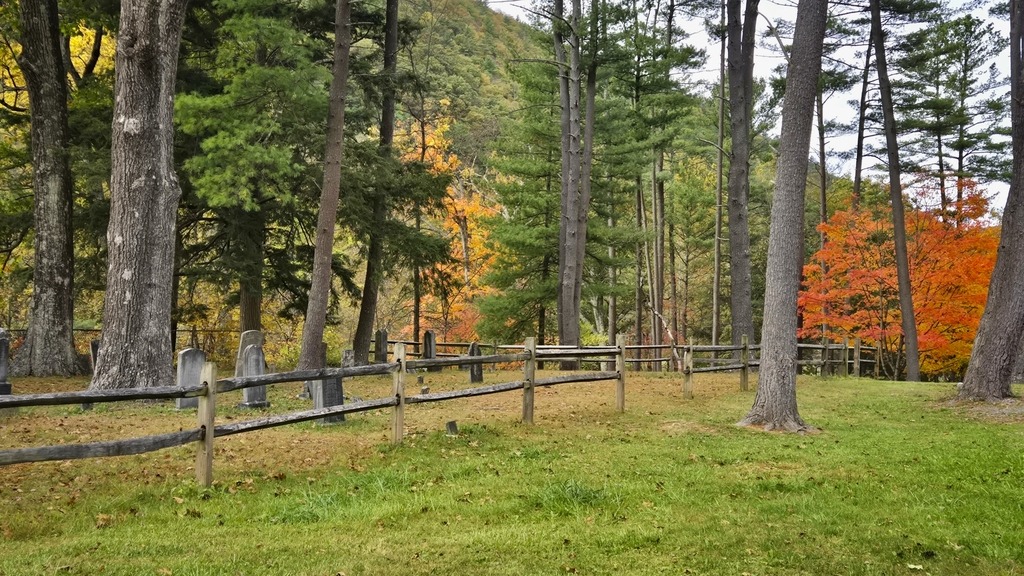
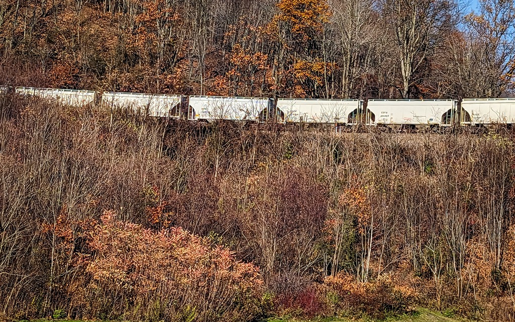
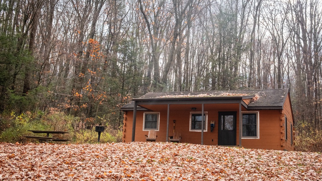
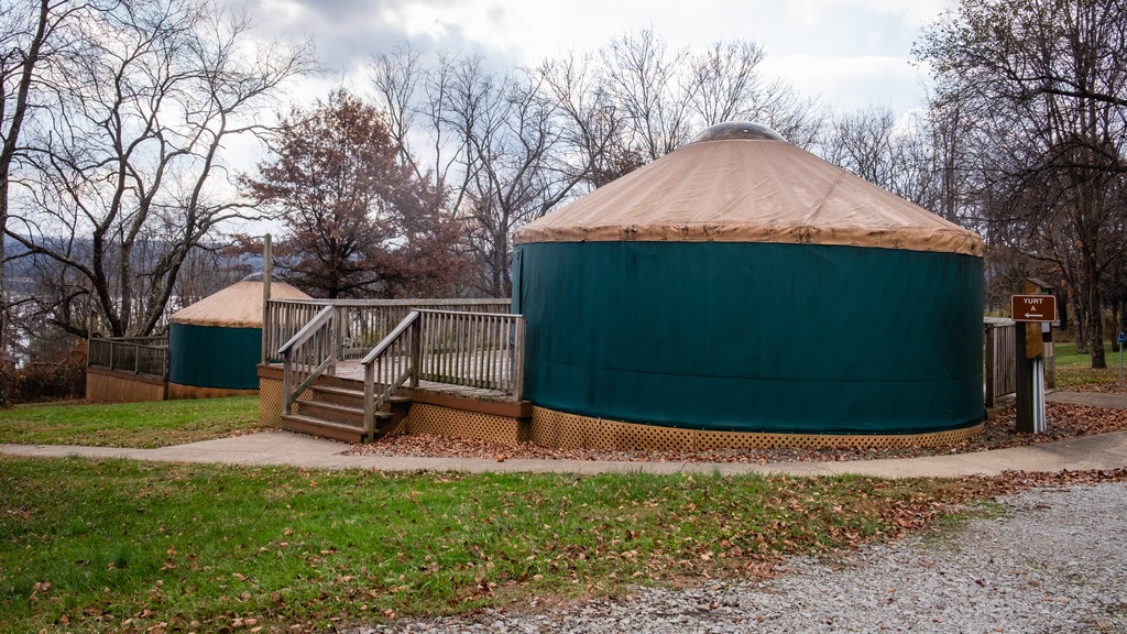
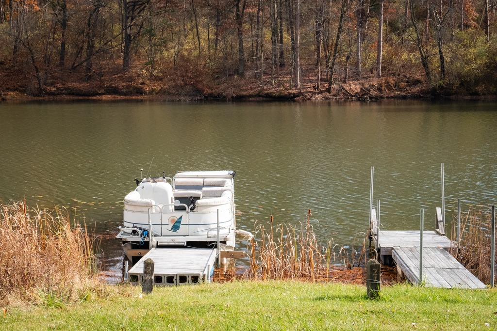
I am taking a few days to look back at some rare (for me) Summer trips taken this year. My first ever overnight camping trip to Cherry Springs State Park took place in July.
The weather was miserably hot and the astronomy field was sparsely populated mid-week.
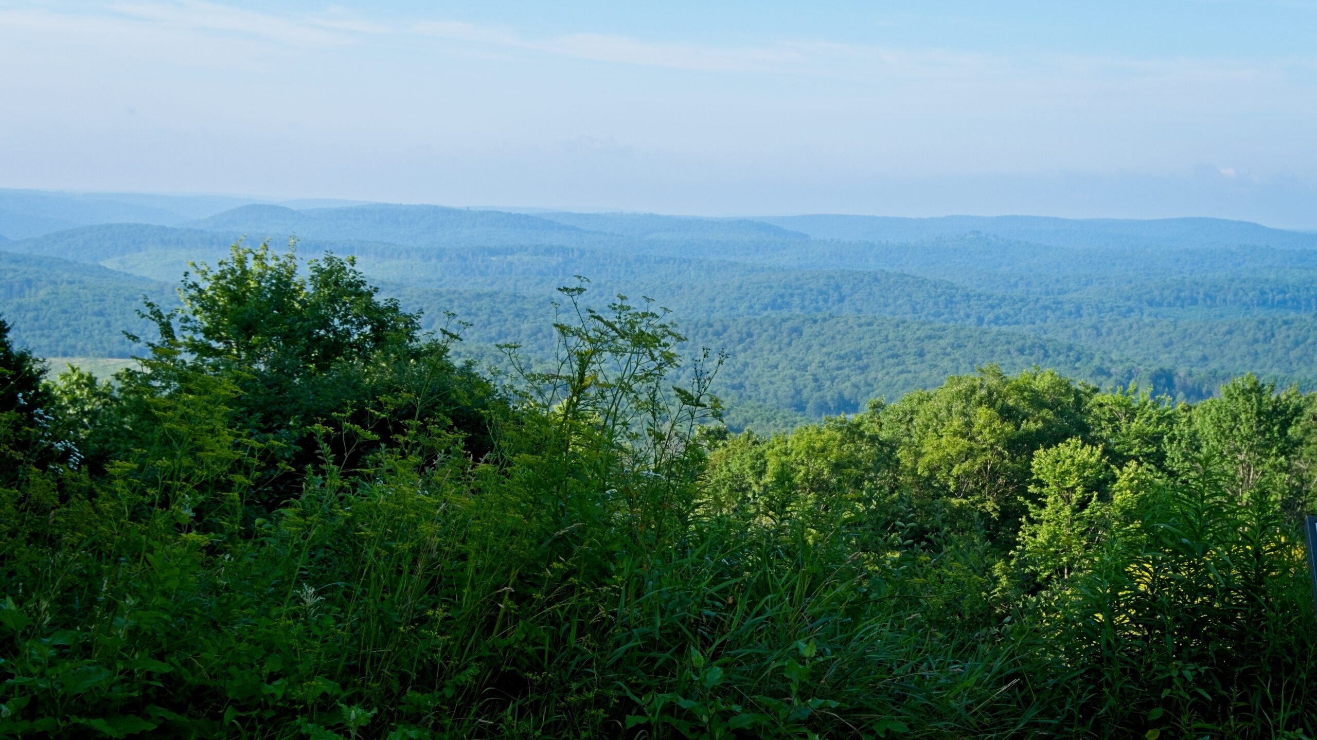
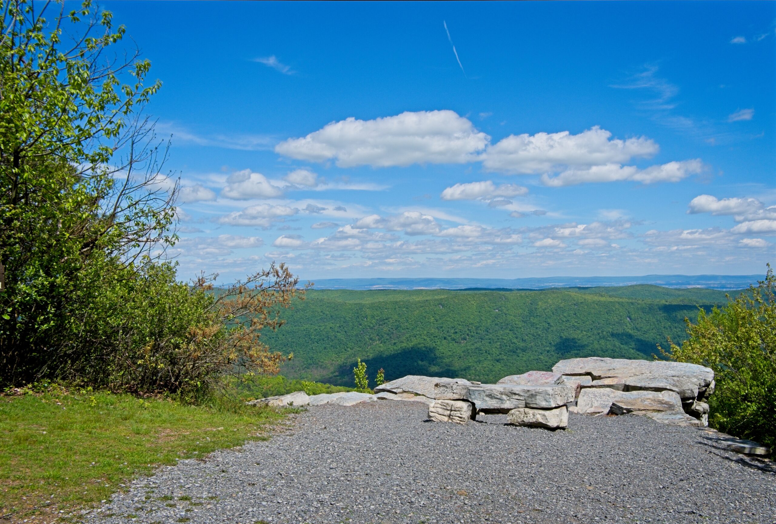
I stopped at a few scenic vistas along Route 44 on the way home.
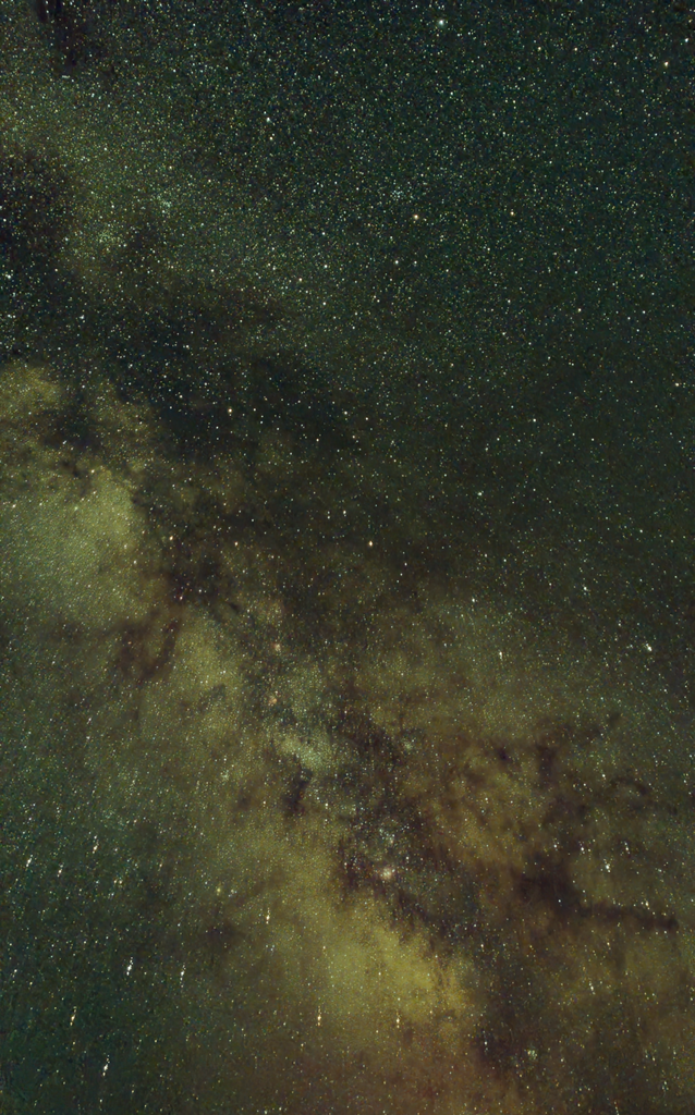
I did use my Seestar S30 Pro to try some Milky Way shots for the first time.
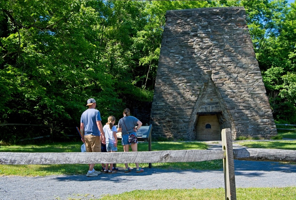
The 696-acre Pine Grove Furnace State Park is at the northern tip of the Blue Ridge Mountains, in an area known as South Mountain. Visitors enjoy many recreational opportunities, including two mountain lakes (Laurel Lake and Fuller Lake), hiking the Appalachian Trail, biking the rail trail, visiting the Appalachian Trail Museum, and viewing sites from when the park was a charcoal-fired iron furnace community
The park is surrounded by Michaux State Forest, which provides opportunities for exploring extensive public lands around South Mountain. The area is know for being close to the mid way point of the Appalachian Trail.
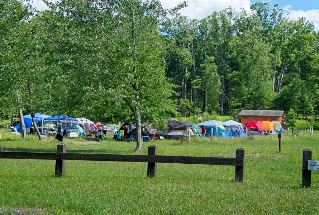
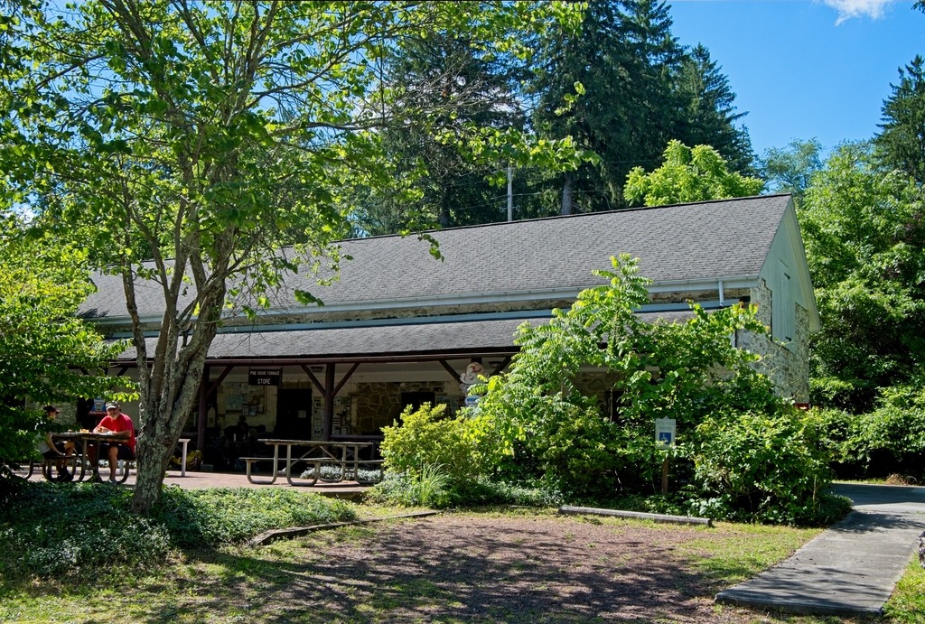
An old iron furnace.The group tent camping area.The Pine Grove Furnace General Store, home of the half gallon ice cream challenge.
I had previously visited Colonel Denning State park in Spring of 2020. The previous post can be found here. The Park, in north-central Cumberland County, has 273 acres of woodland and a 3.5-acre lake. It serves as a gateway to the 96,000-acre Tuscarora State Forest, which surrounds the park.These scenic and historic public lands are located in Doubling Gap, so named by the “S” turn where Blue Mountain doubles back on itself.
Although never a colonel, William Denning (1737-1830) served as a Revolutionary War sergeant from March 1778 to April 1780 in Nathaniel Irish’s Company of Artillery Artificers in Benjamin Flower’s Regiment. Stationed just outside of Carlisle at Washingtonburg Forge (now Carlisle Barracks), Denning earned his place in history making wrought iron cannons for the Continental Army. Unfortunately, none of Denning’s cannons survive today.
After the Revolution, William Denning lived out his life near Newville and is interred with his only son and daughter in the Big Spring Presbyterian Church cemetery in Newville. His monument reads, “The patriotic blacksmith and forger of wrought iron cannon during the Revolutionary War.” It is not known when or who added the “Colonel” to Sergeant William Denning’s name.
Colonel Denning State Park became a state recreational area around 1930, under the Pennsylvania Bureau of Forestry. It was developed formally in 1936 through the efforts of the Civilian Conservation Corps Camp S-111 in Perry County.
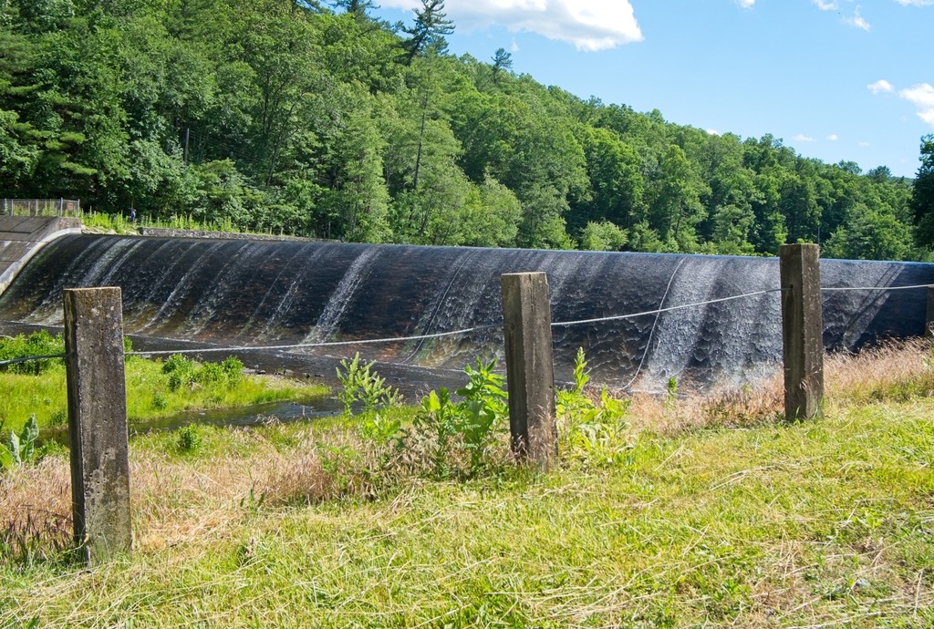
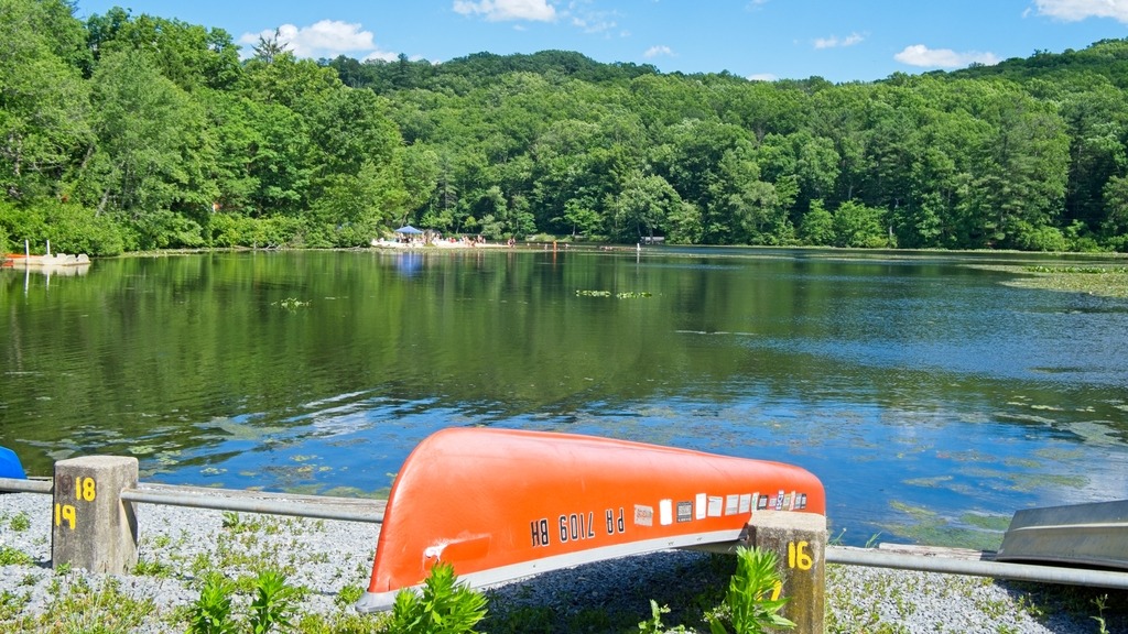
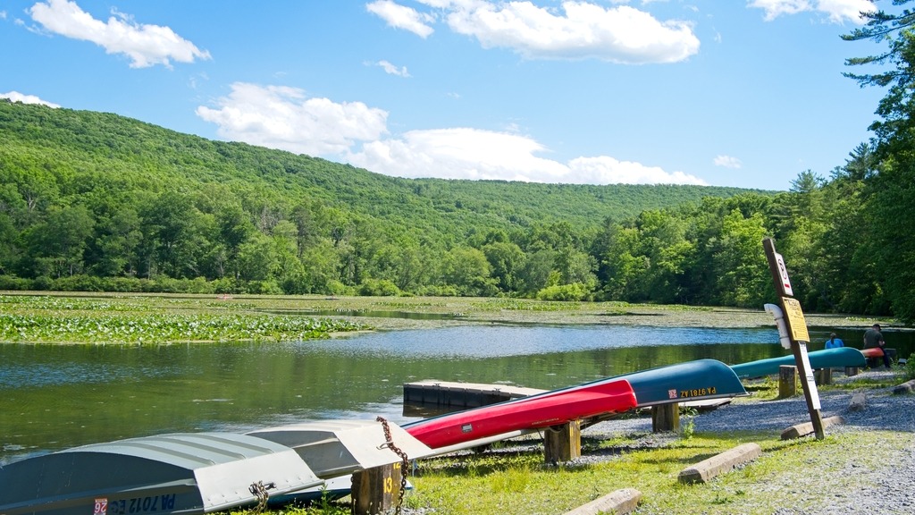
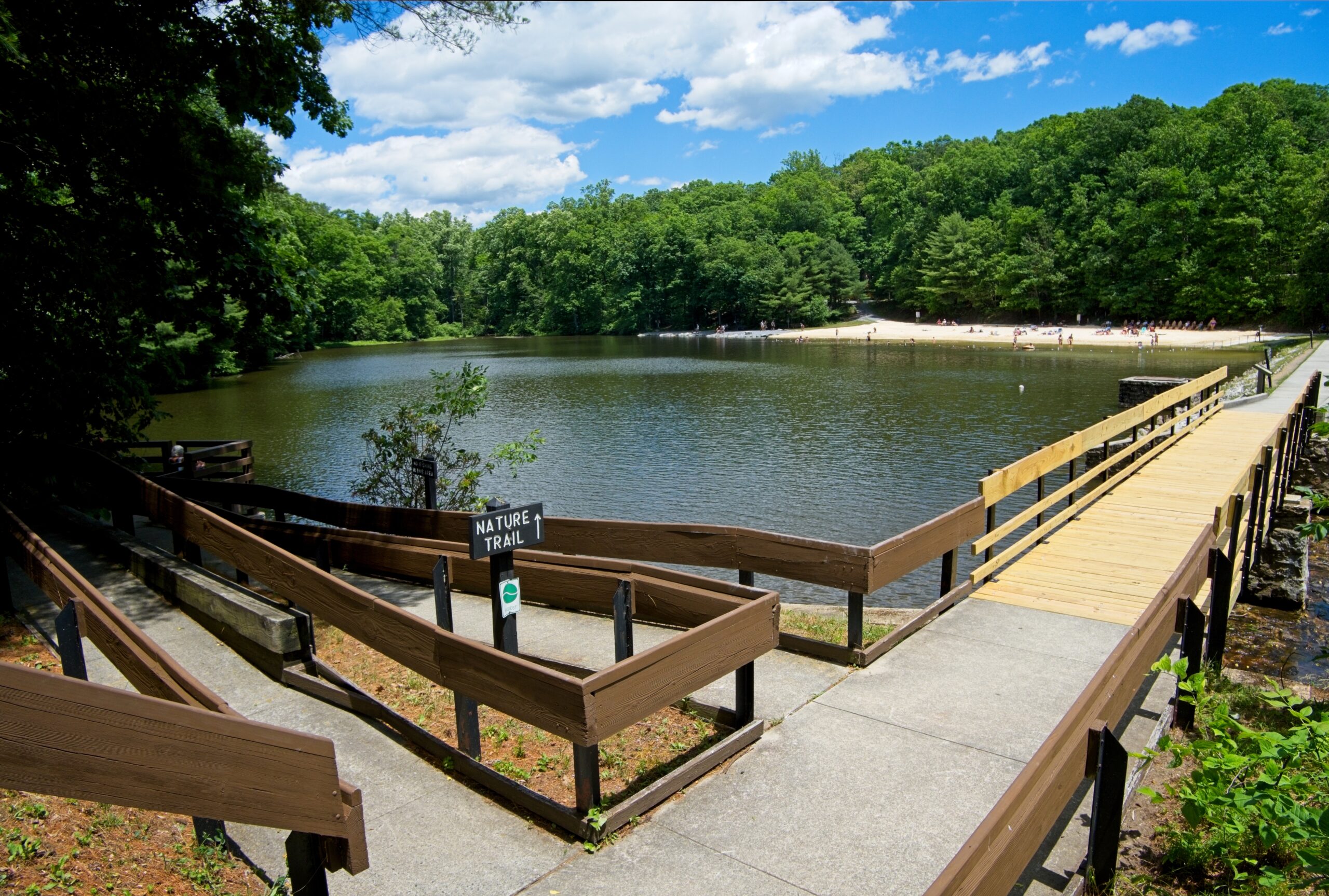
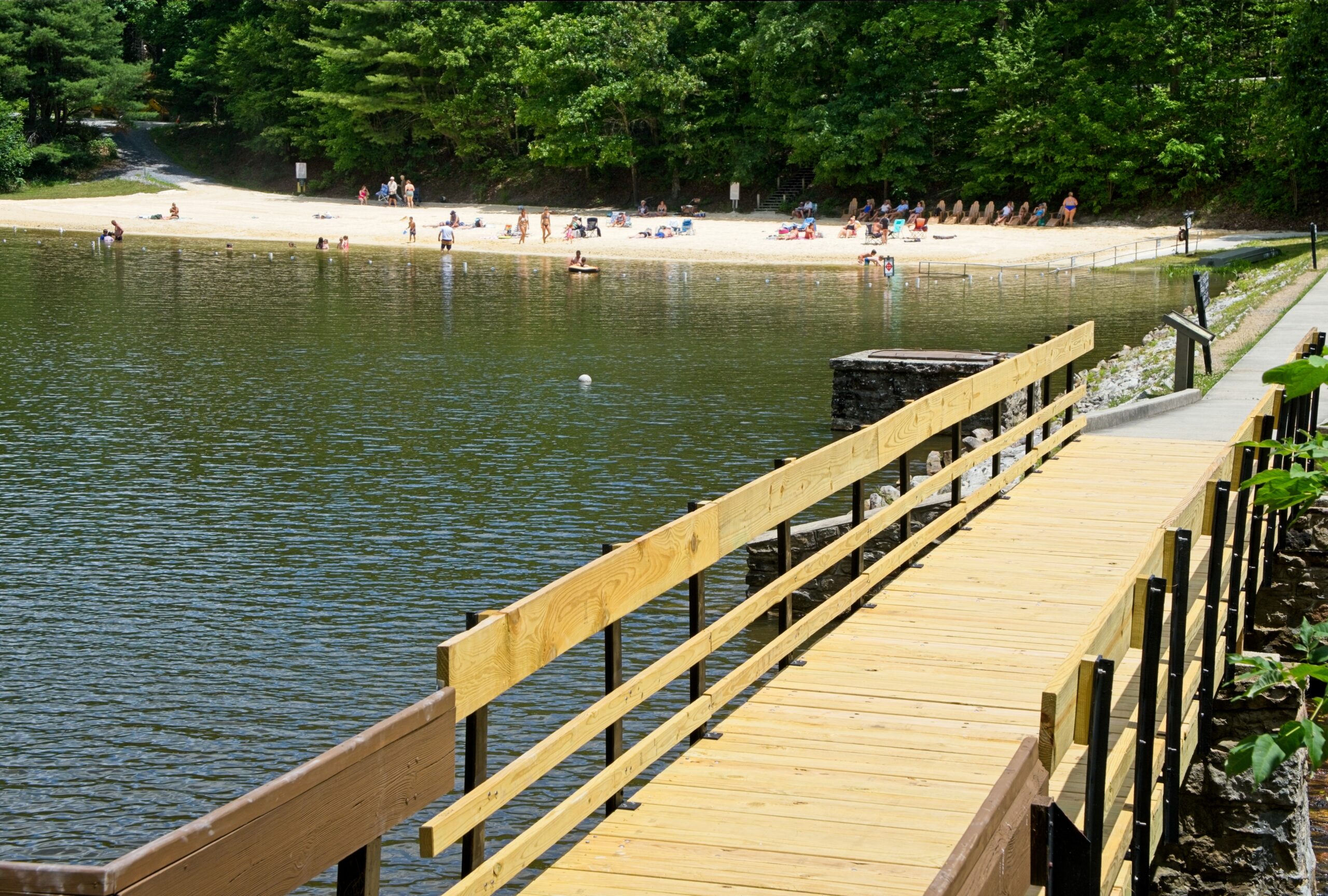
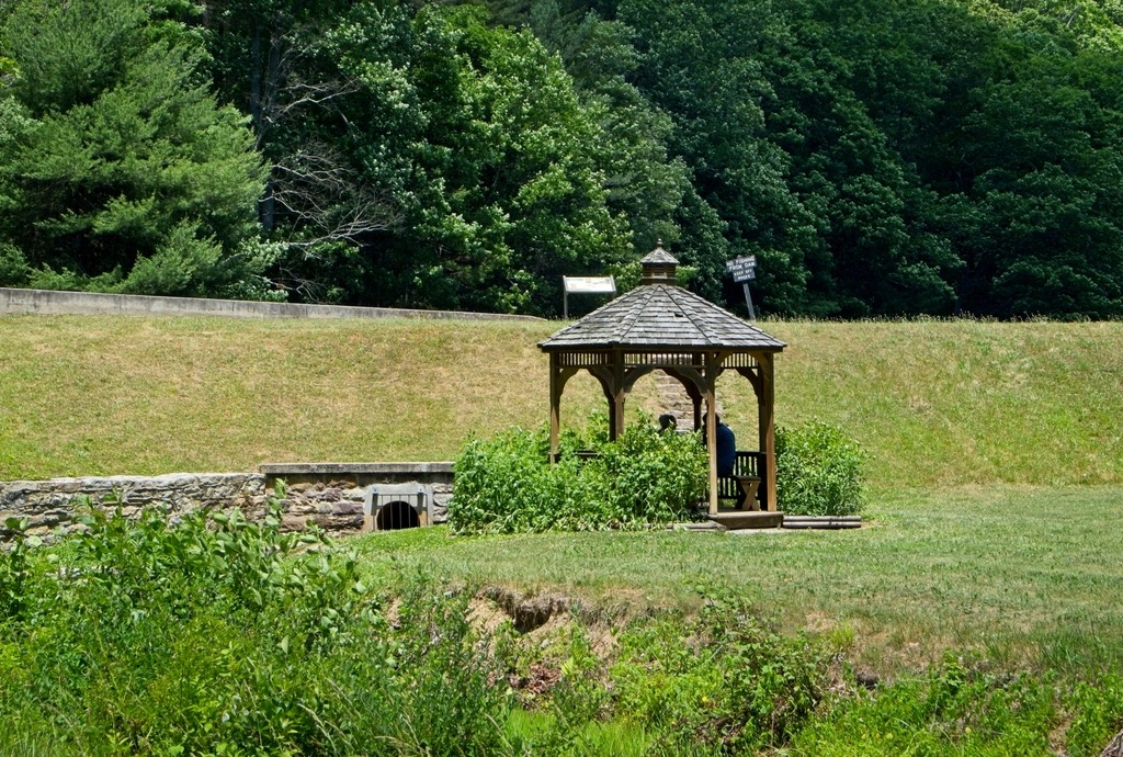
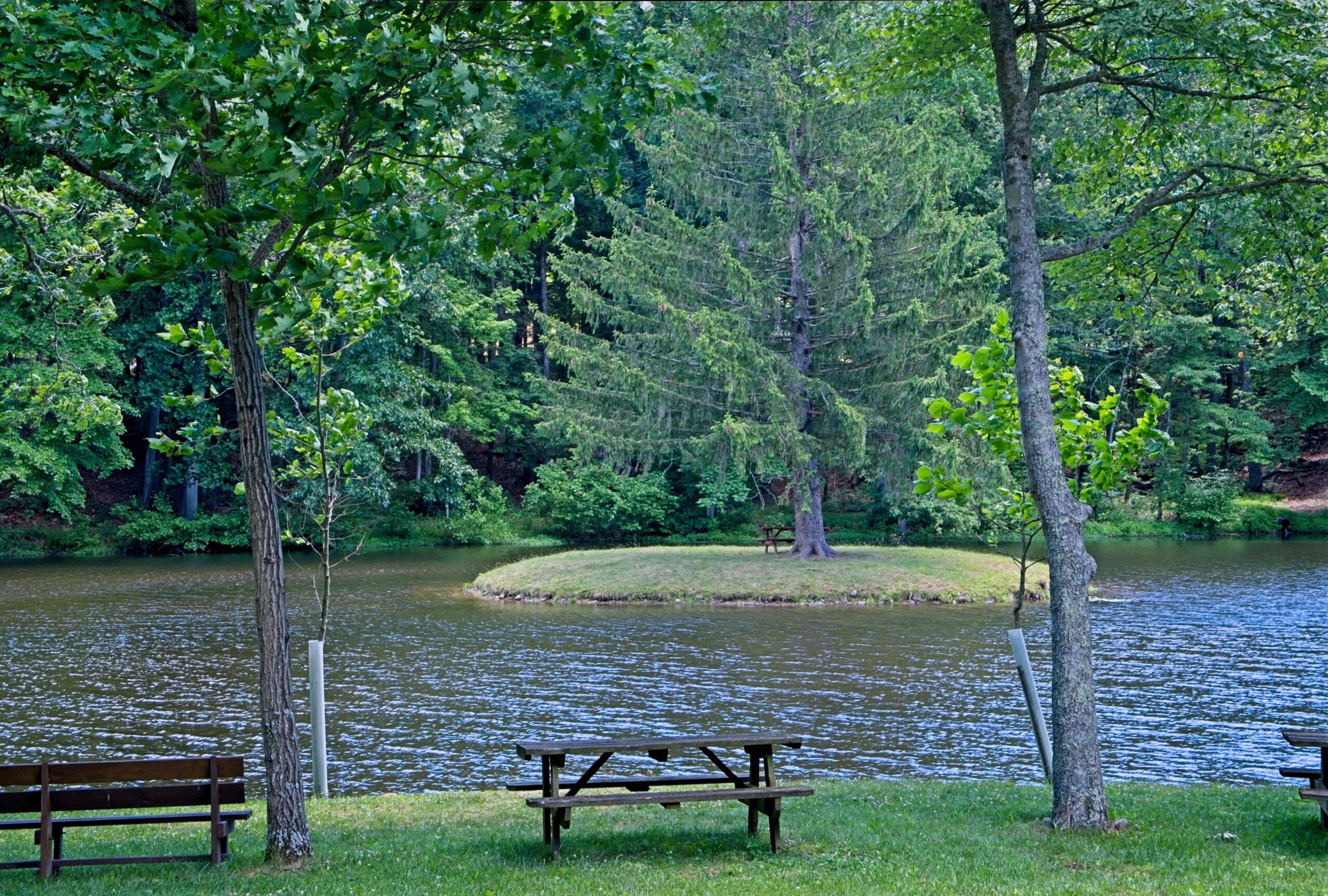
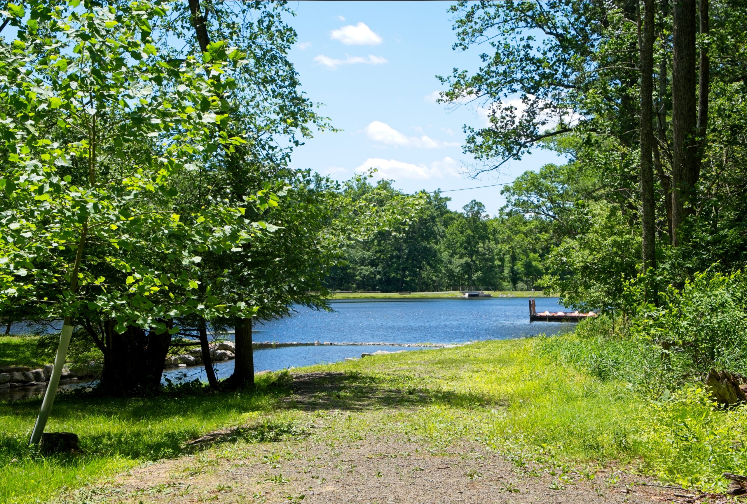
The lake and beach.A distinctive gazebo near the dam.
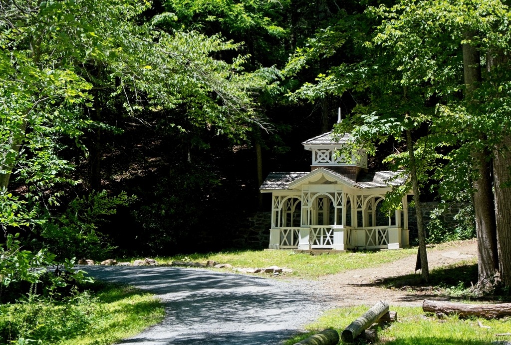
As a bonus, here are some looks at a nearby church camp known as Doubling Gap Center Camp YoliJwa.
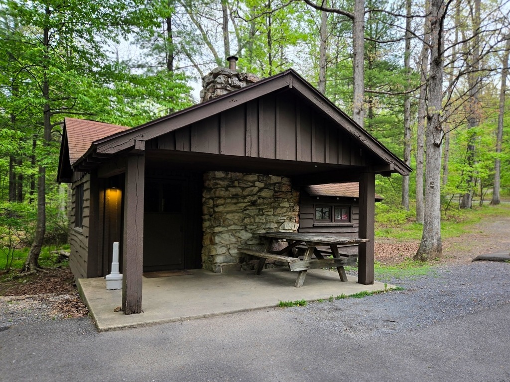
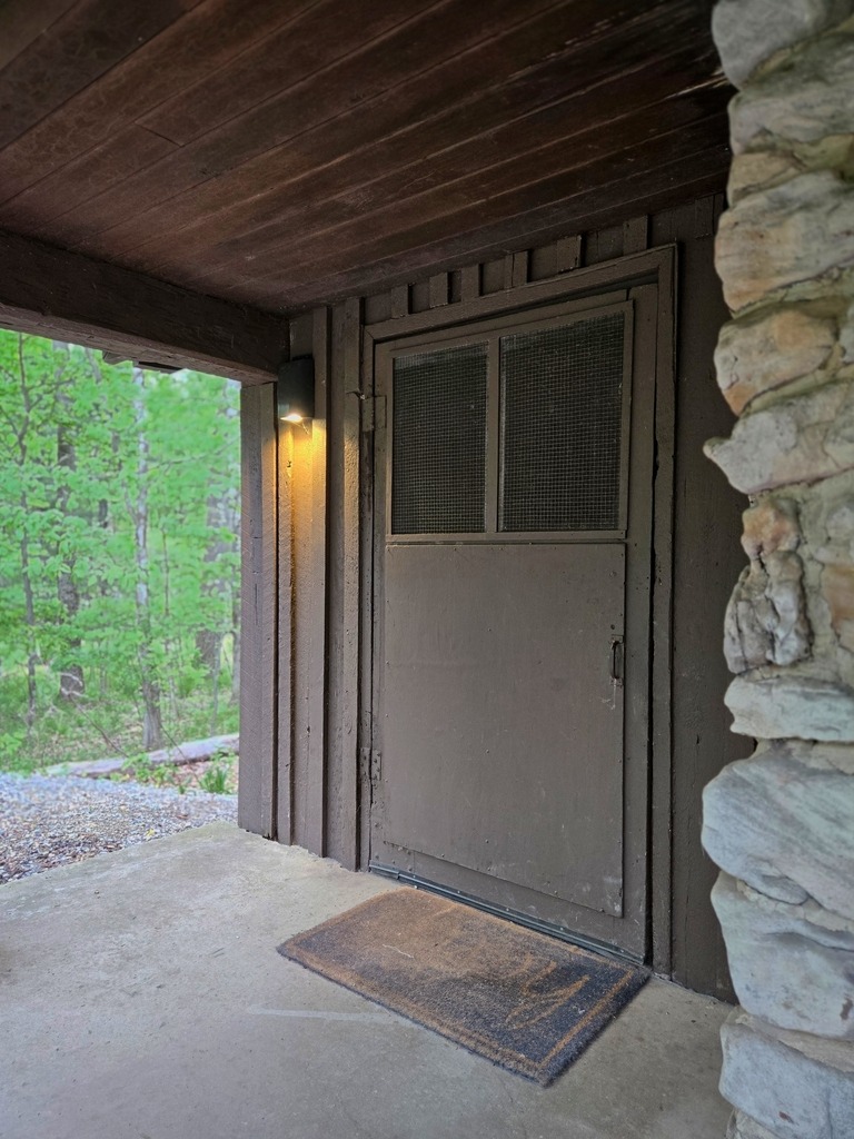
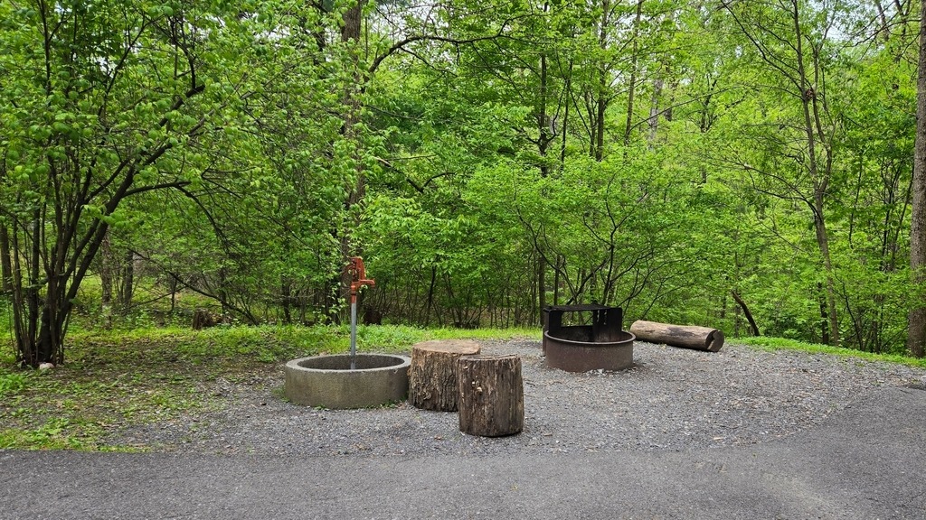
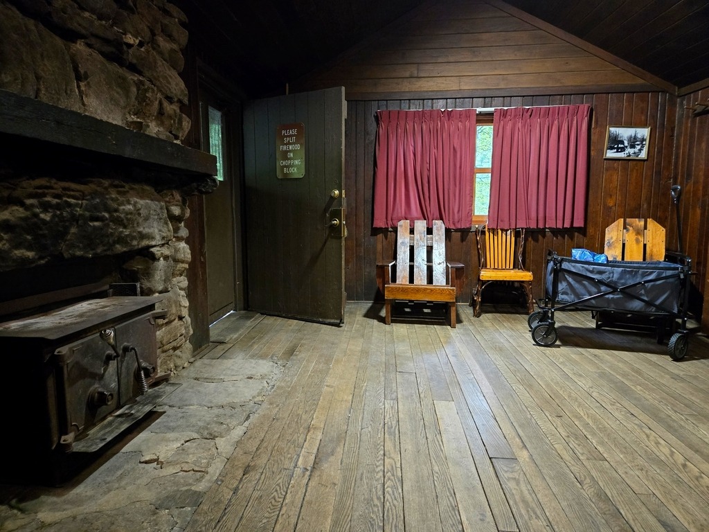
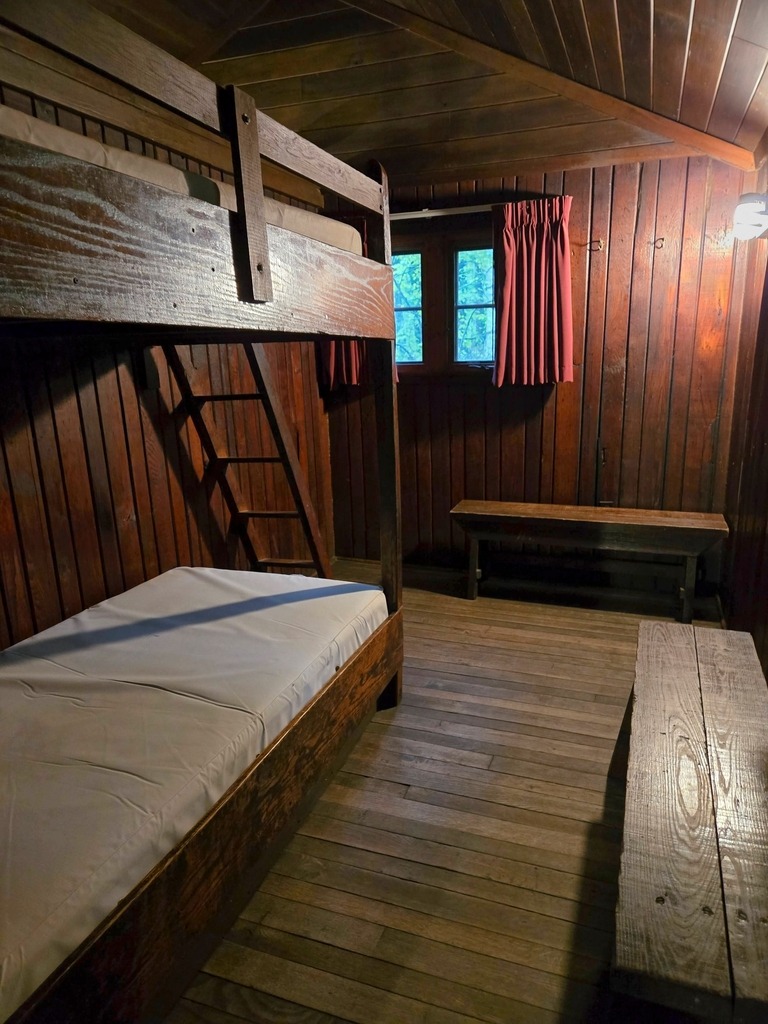
Cowans Gap State Park has 201 campsites in two loops. The camping area is open from mid-April until mid-December. The campsites can accommodate campers from a small tent to a large motor home, with seven walk-in tent sites are adjacent to Camping Area B. There is also a rutic cabin colony, built by the CCC. Here is a look at one of the cabins I stayed in.
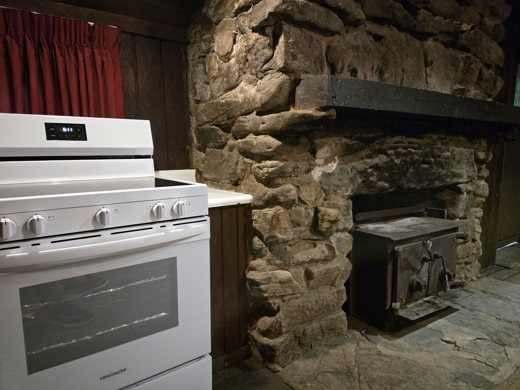
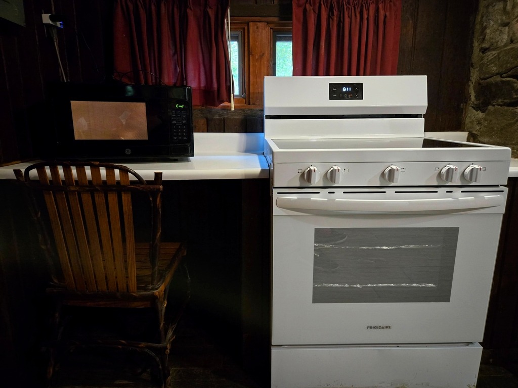
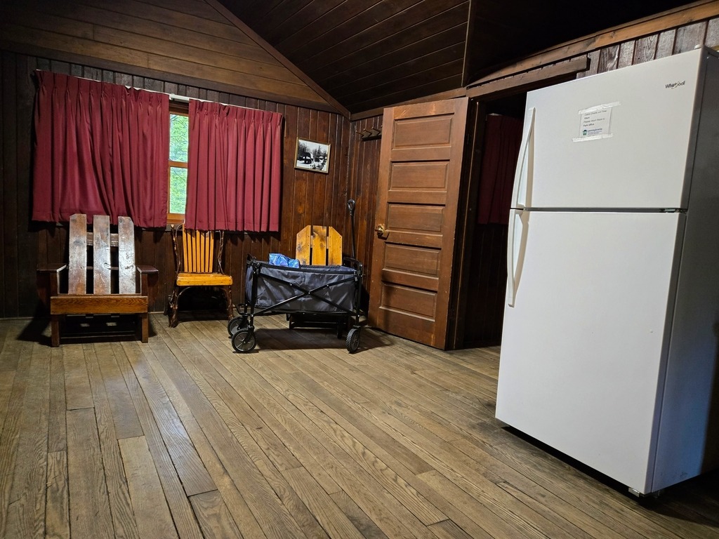
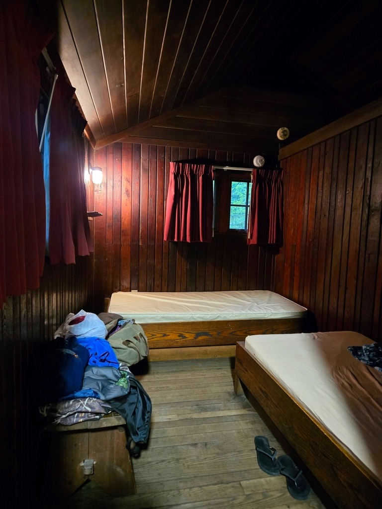
The fireplace, mantel, some of the chairs, benches and bunks seem to be original, in addition to the outer structure of the cabin. Forgive the sight of my stuff strewn around, I forgot to take photos first.
This cabin had an interior wall separating the sleeping area into two rooms.
Big Mountain Overlook sits near the border of Franklin and Fulton counties. It makes for a nice, quick side trip from Route 30. It has spectacular views in the Autumn but is lovely an time of year. The Tuscarora Trail passes nearby,
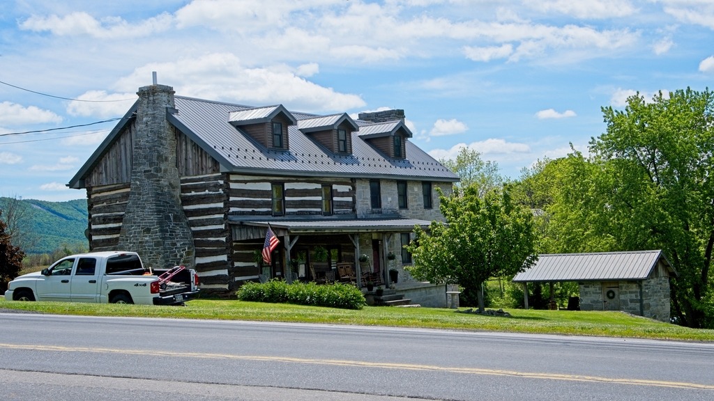
I first needed to make a quick pitstop for lunch and groceries in Spring Run after exting the turnpike at Willow Hill. This partial log cabin home was an interesting site nearby. I wonder if the log section is old.
The overlook was the first official stop on my trip. I had been on the access road before but managed to miss the overlook. This overlook it not to far from the parking area at the end of the cul de sac on Tower Road.
There are siome state forest camp sites along Tower Road.The vegetation along the road is unusually low.
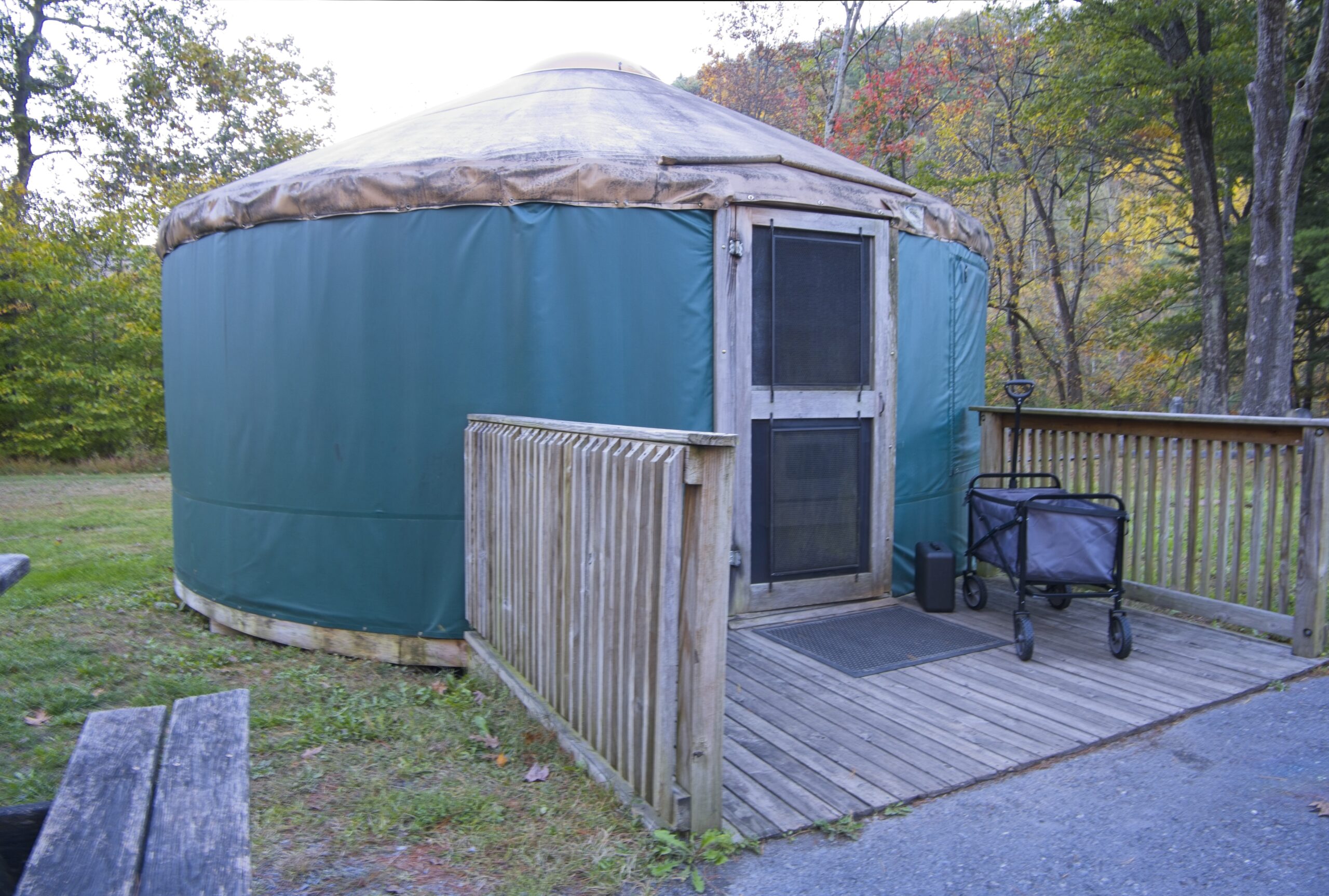
I was surprised to find a small cemetery next to my yurt at the Little Pine State Park campground.
It seems this cemetery was part of the town of English Mills. As is sadly the case with many large reservoirs and lakes in the state, communities are flooded to make way for them.
During 1782, the first American settlers in the Little Pine Valley were brothers John and James English. These brothers built two sawmills along Little Pine Creek in 1809, one of which was at the southern end of the present park boundary. The village of English Mills was established in 1816 and housed the families of the loggers, occupying what is now the park campground. The cemetery of English Mills is on a small knoll in the middle of the campground.
Another prominent name in local history is Robert Carson. He was the first of his line to settle in the Little Pine Valley, and his descendants, who made homes near his homestead, gave rise to the village of Carsontown. Robert Carson was one of the first farmers in the area, and also operated a sawmill. The Carsontown cemetery can be found at the northern end of the park.
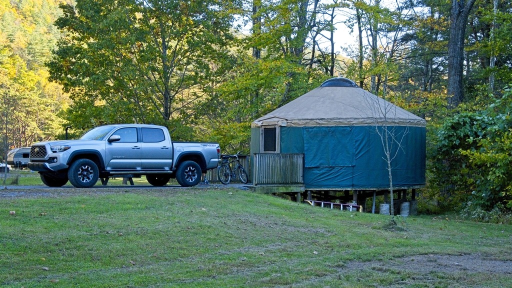
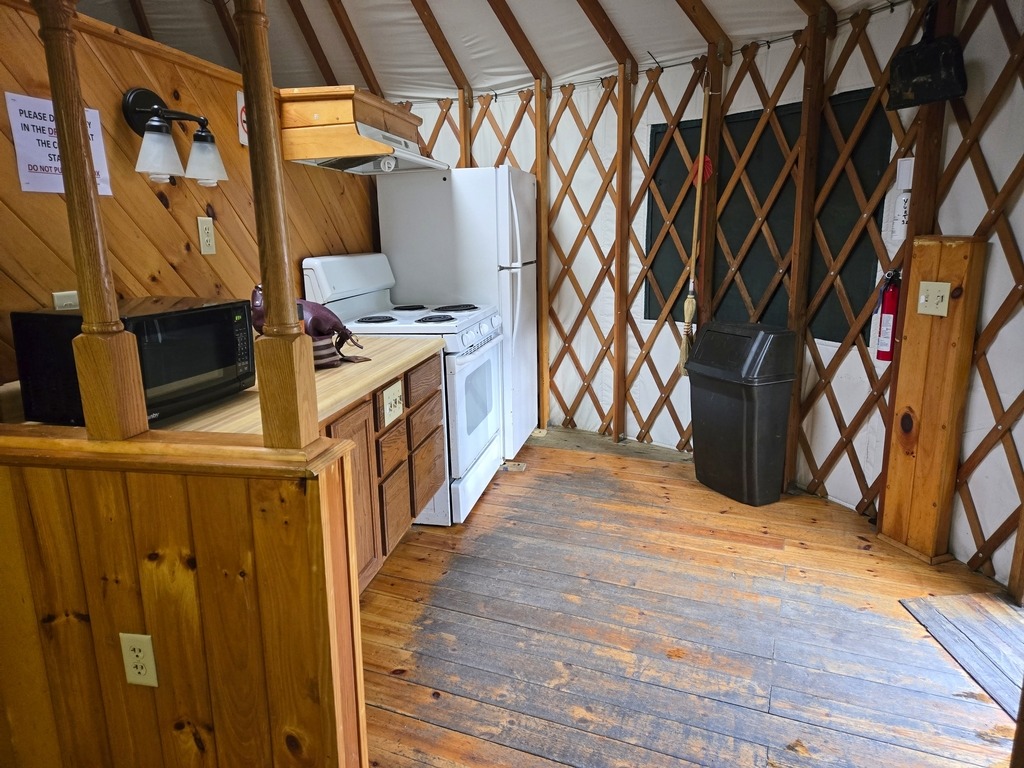
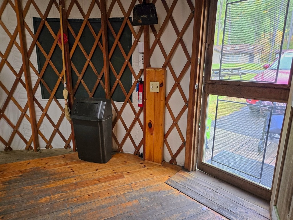
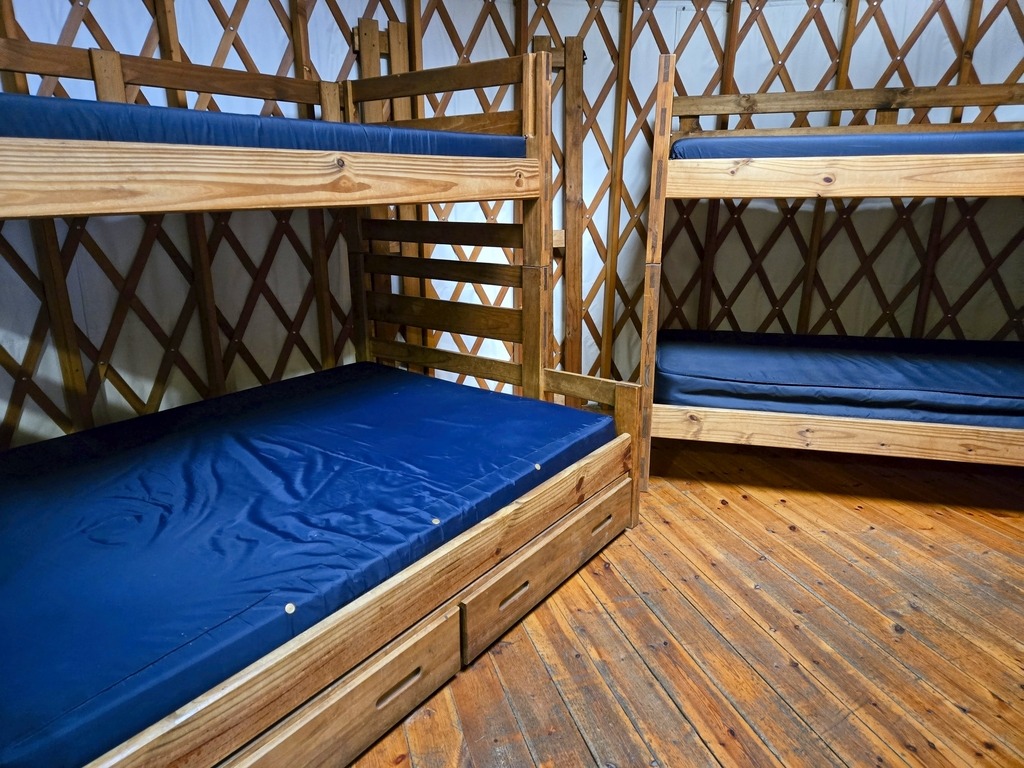
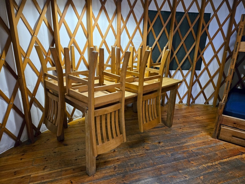
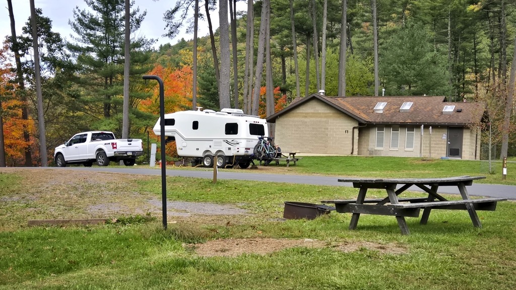
Some other views around the campground.These trees seem much taller than when I first visited the area and largely obscure the view of the dam from the campground.Views of the yurt and the interior (below).The neighbors.
My cabin rental at Linn Run State Park made for a special midweek escape. The rustic cabins provide beds, a kitchen table with benches, refrigerator, microwave, oven, a ceiling fan, woodstove and other amenities. There is no running water but bathrooms and a laundry and dishwashing area are nearby. The park does have one modern cabin with a bathroom.
Rustic cabins in the state parks are my favorite. These are particulalry lovely with their streamside setting. The rushing water will lull you to sleep at night.
Just west of Altoona, the Horseshoe Curve is a three-track railroad curve on Norfolk Southern Railway’s Pittsburgh Line in Blair County, Pennsylvania. The curve is roughly 2,375 feet (700 m) long and 1,300 feet (400 m) in diameter. Completed in 1854 by the Pennsylvania Railroad as a way to reduce the westbound grade to the summit of the Allegheny Mountains, it replaced the time-consuming Allegheny Portage Railroad, which was the only other route across the mountains for large vehicles. The curve was later owned and used by three Pennsylvania Railroad successors: Penn Central, Conrail, and Norfolk Southern.
Horseshoe Curve has long been a tourist attraction. A trackside observation park was completed in 1879. The park was renovated and a visitor center built in the early 1990s. The Railroaders Memorial Museum in Altoona manages the center, which has exhibits pertaining to the curve. The Horseshoe Curve was added to the National Register of Historic Places and designated as a National Historic Landmark in 1966. It became a National Historic Civil Engineering Landmark in 2004.
When I visited the curve, I was lucky to have a train passing. The building at the top of the funicular can be seen in front of the train.The Visitor Center complex.
Heading north from the Altoona area, Prince Gallitzin State Park sits in the forested hills of the Allegheny Plateau surrounding sprawling Glendale Lake. Vistas offer scenic views of the 1,635-acre lake with its 26 miles of shoreline, which is a favorite of anglers and boaters. Campers flock to the large campground and also enjoy hiking and other outdoor activities. The varied habitats of the park make it a home for many types of wildlife, and a rest stop in the spring and fall migrations. One of the more developed parks, it boasts a marina along with its other facilities. A state game lands is adjacent. Here I saw two clueless ring necked pheasants just standing there and enjoying the view of the traffic on Beaver Valley Road.
Some of the camping cottages.
The 2,981-acre Yellow Creek State Park is in Indiana County along one of the first “highways” in the state, the Kittanning Path. This trail was used by the Delaware and Shawnee nations and by early settlers. Today, visitors enjoy the sand beach, picnicking, and educational and recreational programs. The 720-acre Yellow Creek Lake is a destination for boaters and anglers. The lake and park are an important rest stop for migrating birds. The park is named for Yellow and Little Yellow creeks, which flow into the lake. Both creeks contain yellow clay in their banks and bottoms.
A great group of horses chilling after a ride.One of the state park yurts.
Ryerson Station State Park is in Greene County in the southwestern corner of Pennsylvania, near the West Virginia border. It seems to sit off by itself down in that corner. It is near Moundsville, WV, a place I have been to, but that is a story for another day. The 1,164-acre park features the fanciest state park swimming pool I have ever seen, campground, hiking, fishing, picnicking, and winter activities.
A lovely nearby home.And an interesting old barn.Here’s that swimming pool.
Next we have an interesting feature – the remains of an old reservoir. I don’t think I’ve ever seen one quite like this. You can see where the hole was created in the dam to allow the stream to run again. The lake appears to have been fairly shallow.
Near the Pittsburgh metro area, Raccoon Creek State Park is one of Pennsylvania’s largest and most visited state parks. It began as a Recreational Demonstration Area operated by the National Park Service in the 1930s during the Civilian Conservation Corps (CCC) era. The park encompasses 7,572 acres and features the beautiful 101-acre Raccoon Lake. Facilities are a mix of modern and rustic with group camps from the CCC era.
I wonder if this guy will have better luck fishing.Some of the park cabins …
The nearby Hillman State Park is managed for hunting by the Pennsylvania Game Commission. Hiking trails are open to the public. Horseback riding, cycling and other activities are also available. The park also has a model airplane field, an unusual feature. I actually screwed up when visiting here. It looks like one of the main features of the park is a covered bridge, and I managed to miss it.