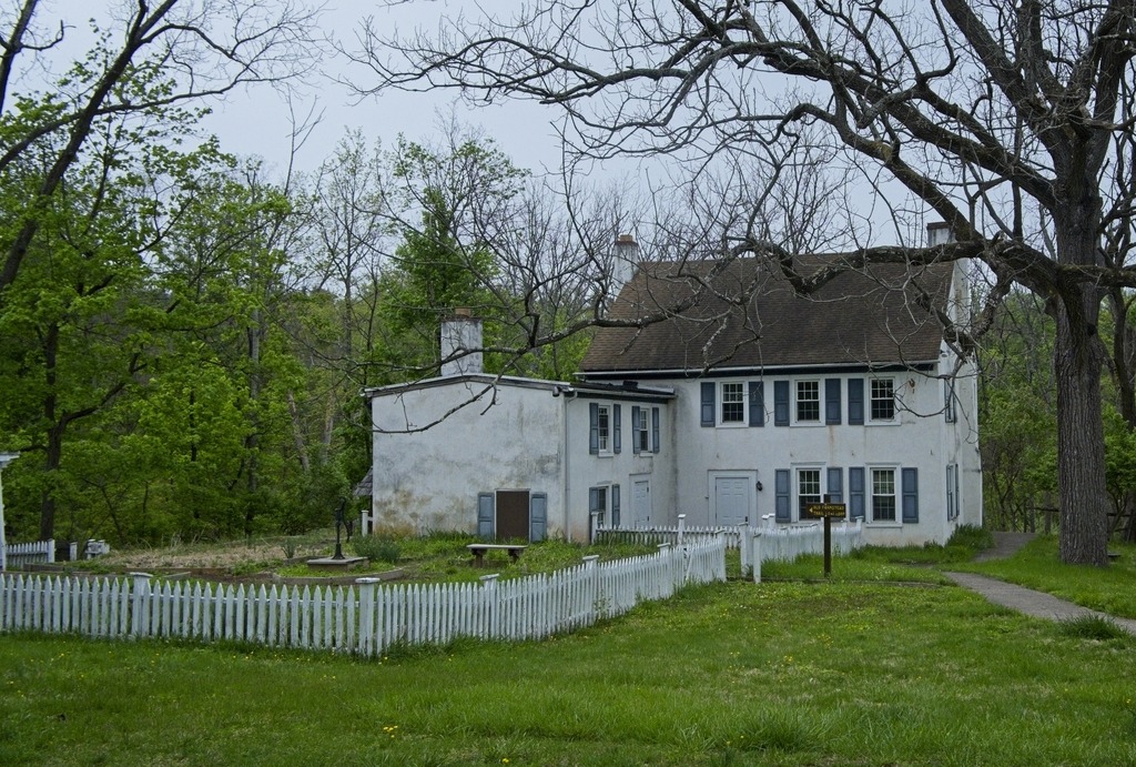
Kuster Mill, also known as Custer’s Fulling Mill and Skippack Creek Farm, is a historic fulling mill in Evansburg State Park on Skippack Creek in Montgomery County. The complex includes three contributing buildings and one contributing structure. They are the original mill, mill race, a stone house, and a Dutch bank barn. It was added to the National Register of Historic Places in 1971.
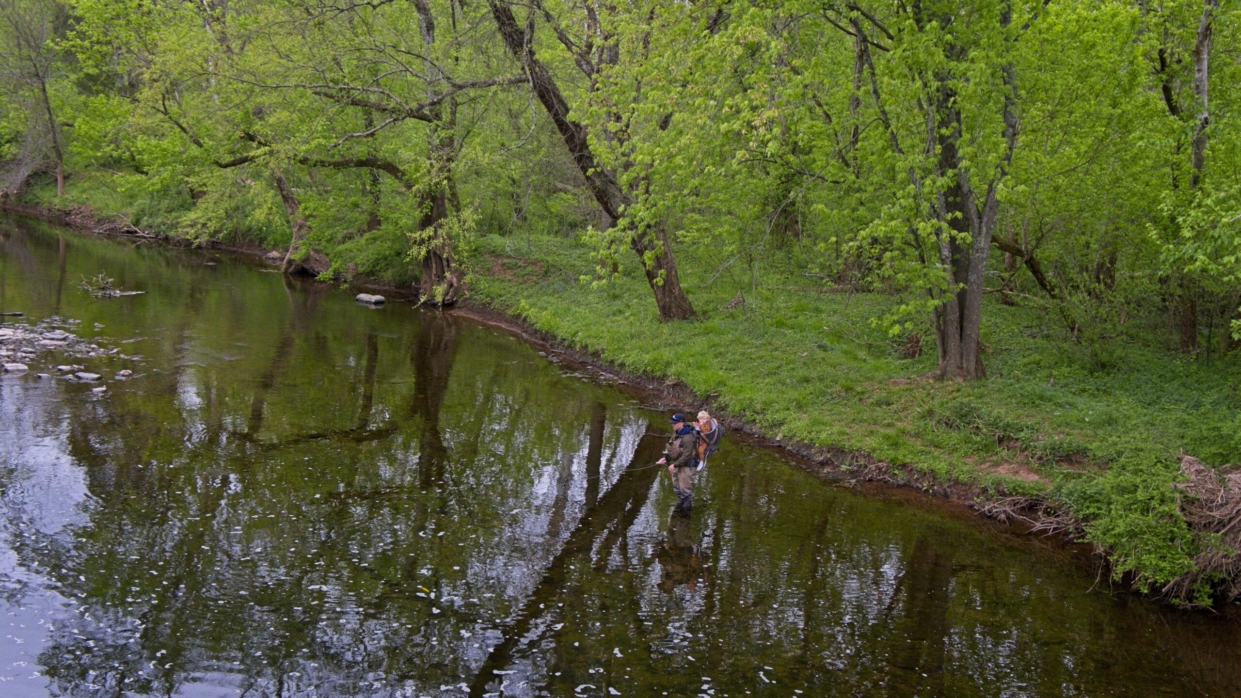
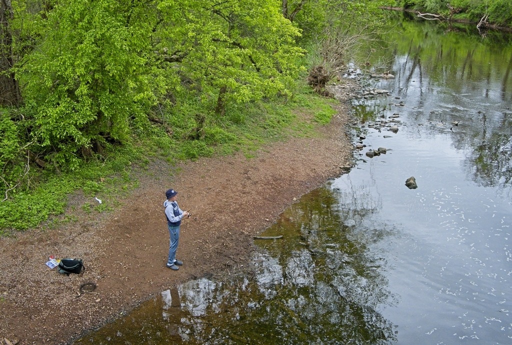
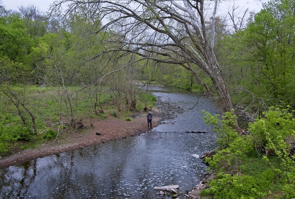
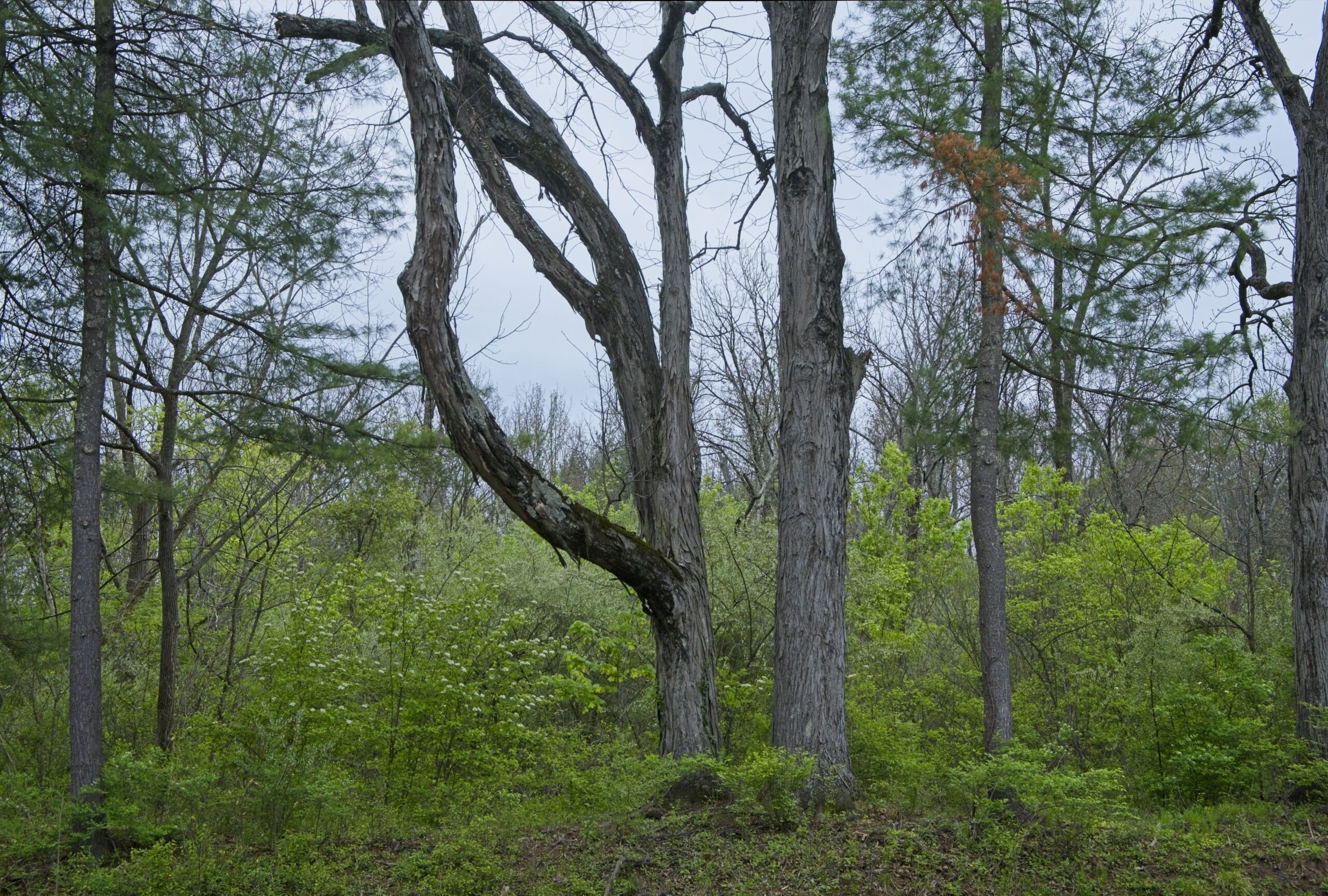
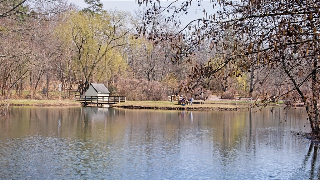
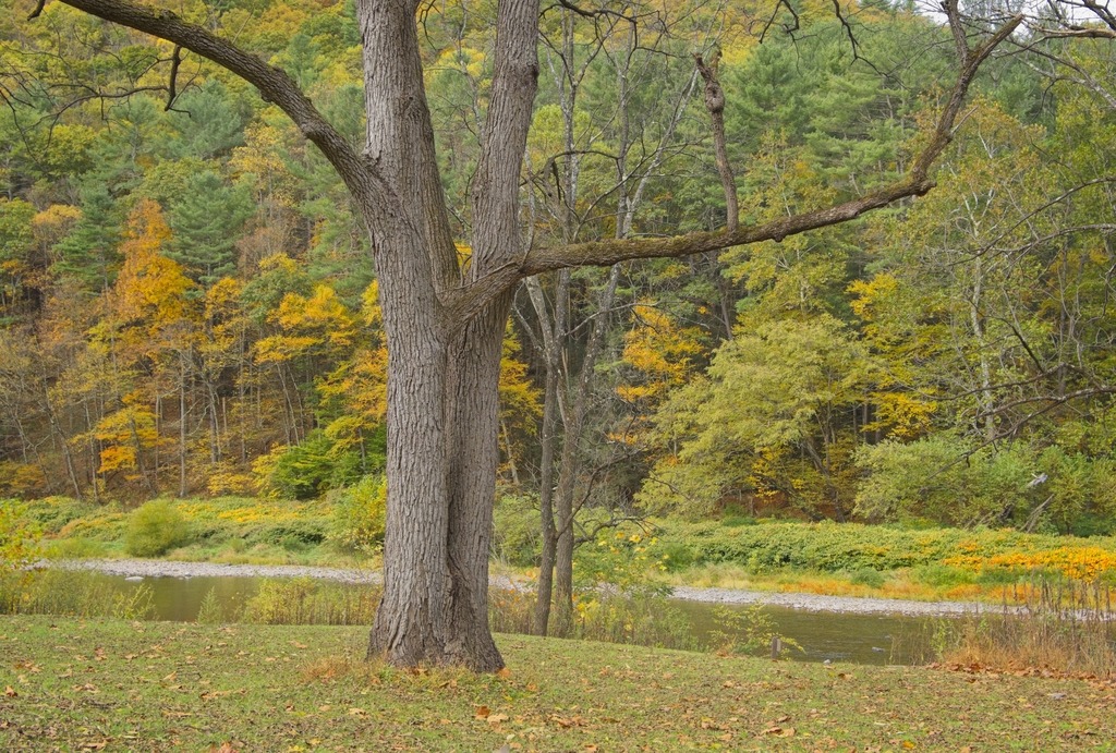
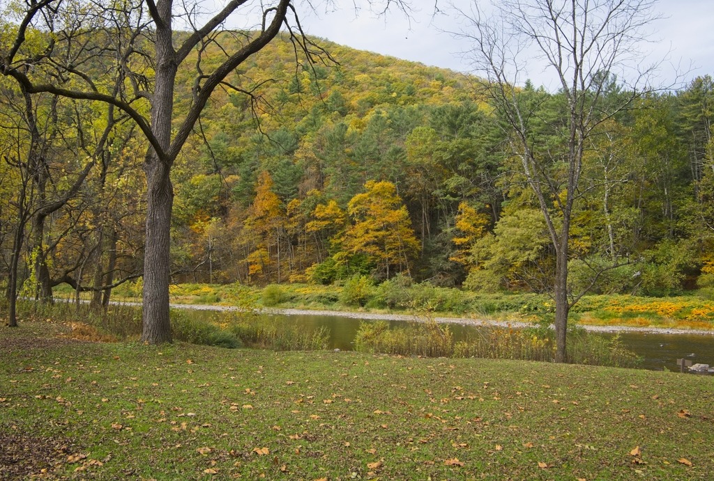
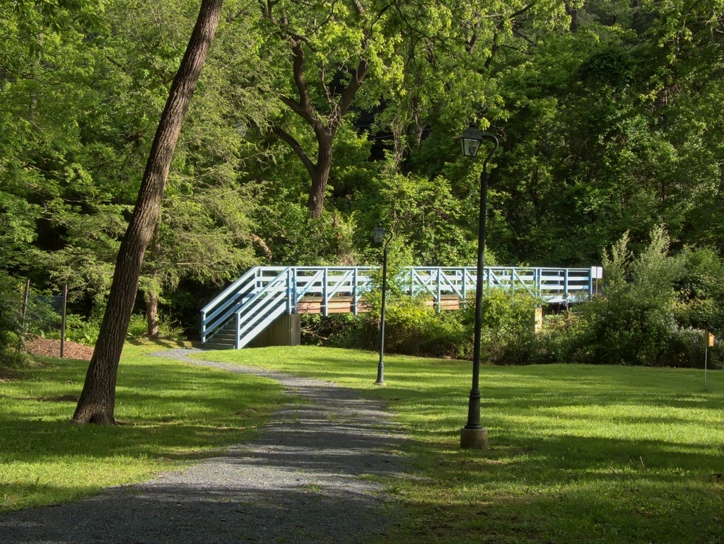
Today, the area is popular with fishermen and walkers in Evansburg State Park. I visited on a day in April when trout season was underway. The weather was grim, but that was not much of a deterrent to those enjoying the park.
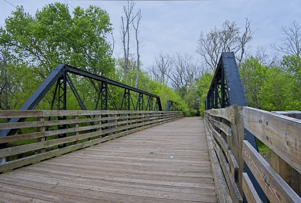
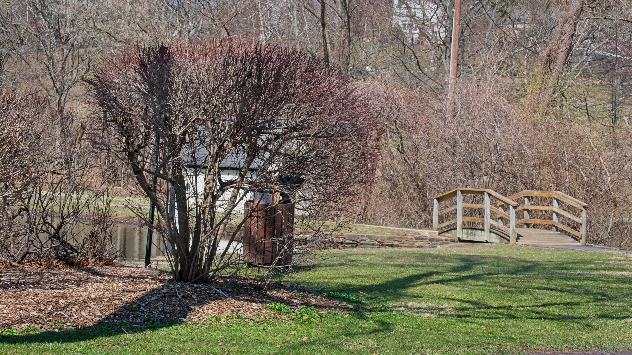
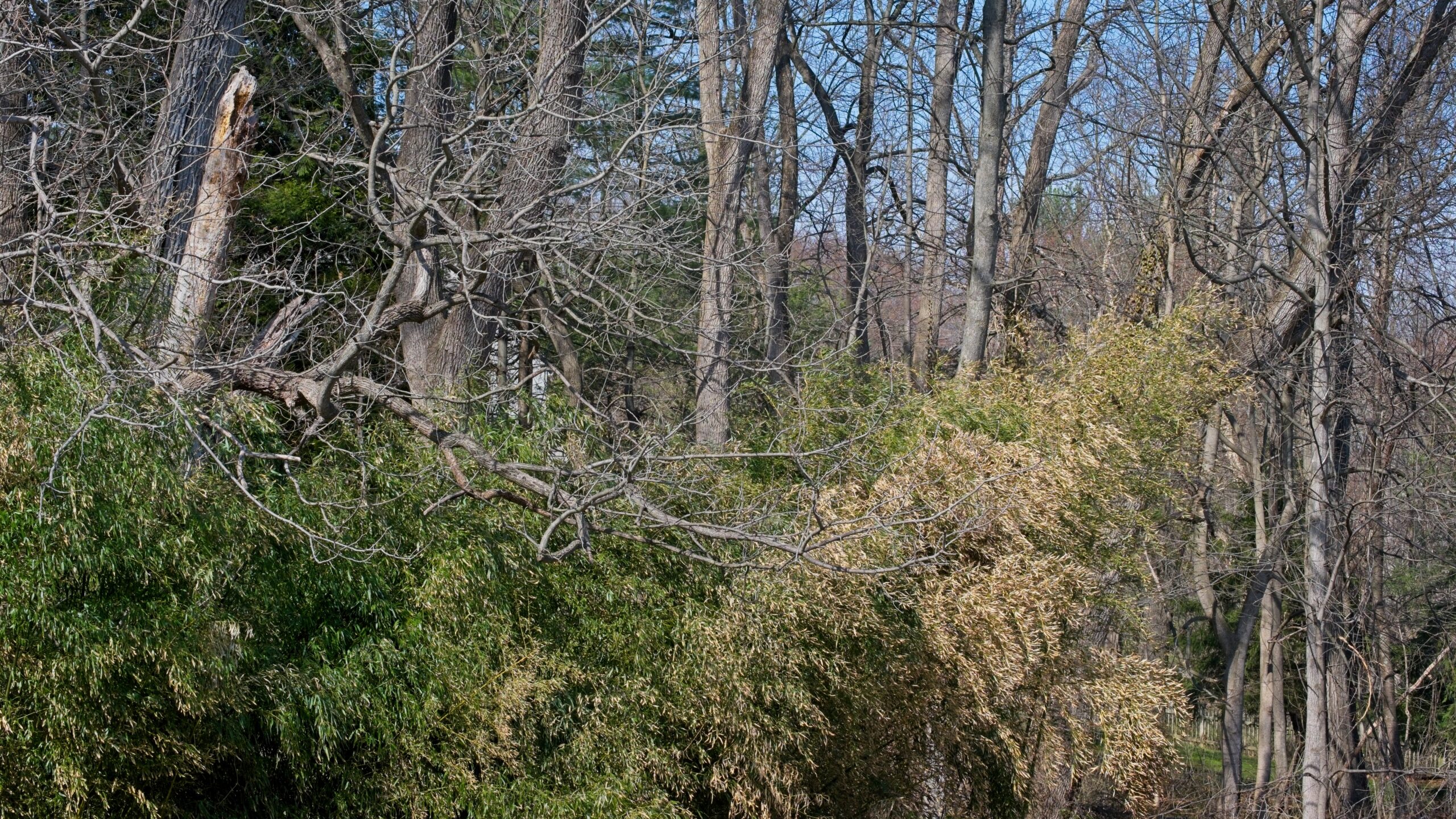
The pedestrian bridge.Fishing is family affair here.You have to wonder how trees get like this,The Friedt Visitor Center at Evansburg State Park.Along Arcola Road
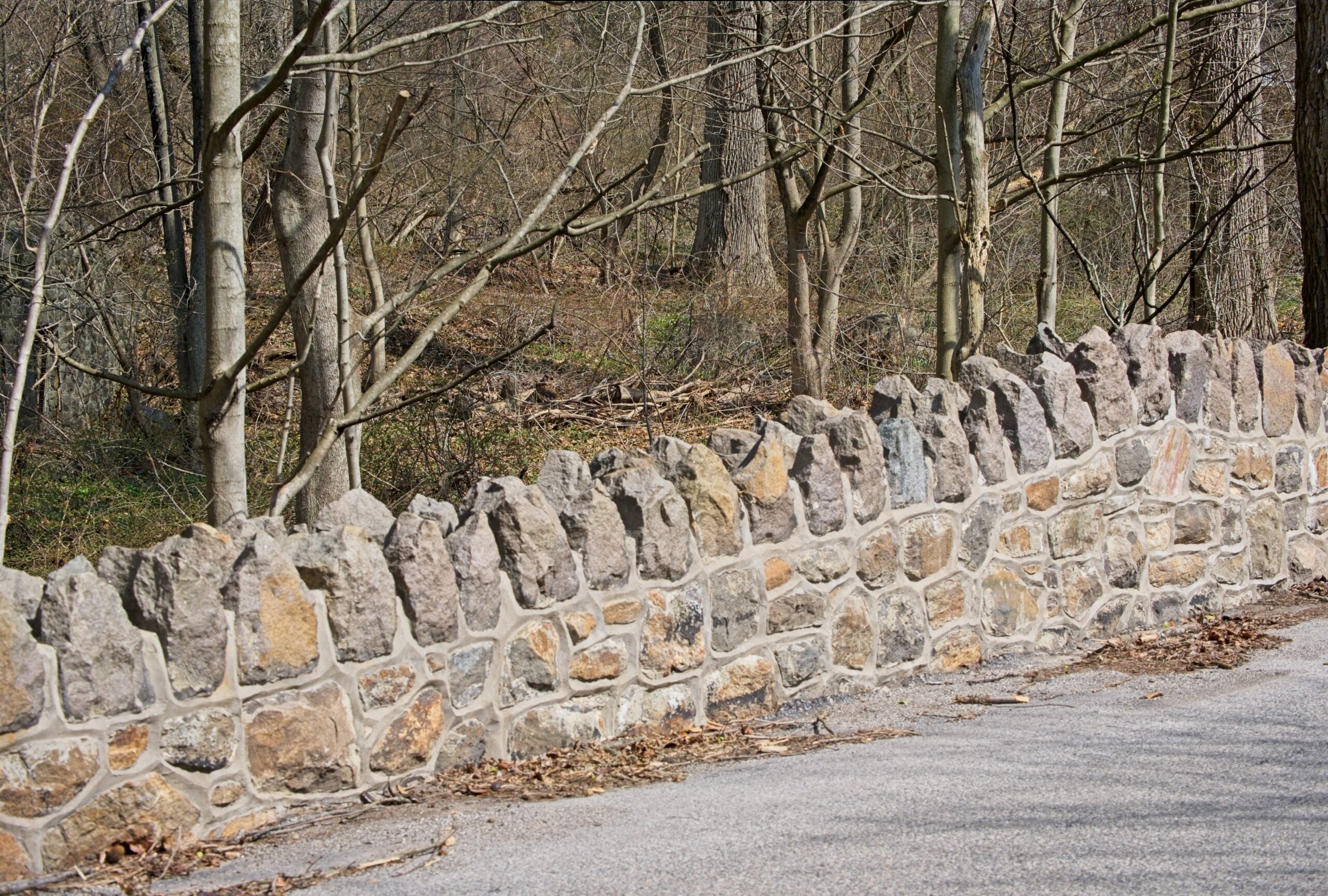
The Willows Park has been featured on this blog before. It is a 47.5-acre estate purchased by Radnor Township in 1973 from the Zantzinger family. Situated at the end of a long, winding driveway is a three-story mansion. The mansion was built in 1910 by John Sinnott Jr. for his wife, and referred to as Rose Garland. The mansion and 47.5 acres that now make up the park were purchased by Clarence Geist in 1937 as a wedding present for his daughter. The estate was then called Maral Brook, which was a combination of their first names, Mary and her husband, Alfred Zantzinger. The site was renamed The Willows because of the beautiful willow trees that surround the property.
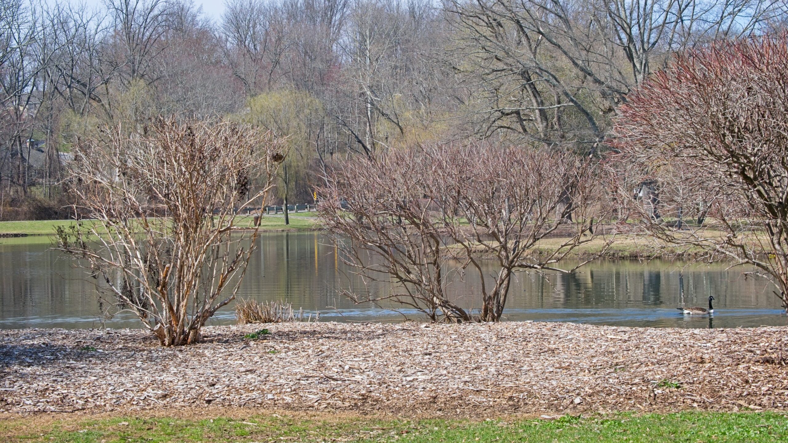
Little Darby Creek winds through the property and is dammed to form a small pond. I have been coming to the Willows for many years. The property has been a popular spot for birding, and migrating waterfowl can sometimes be seen on the pond. It is also a spot that has been stocked for the first day of trout season. Renovation work done to the pond quite a few years ago seems to have reduced the number of birds that use it and the nearby creek. Sadly, maintenance of the mansion and cottage is inadequate. The cottage no longer seems to be in use and is falling into disrepair. The mansion sat vacant for nearly a decade. It is currently being renovated and hosts limited events. It no longer appears to be available for weddings. It was once booked years in advance for weddings. It’s hard to understand why a financially productive property like this was allowed to sit vacant and fall into disrepair.
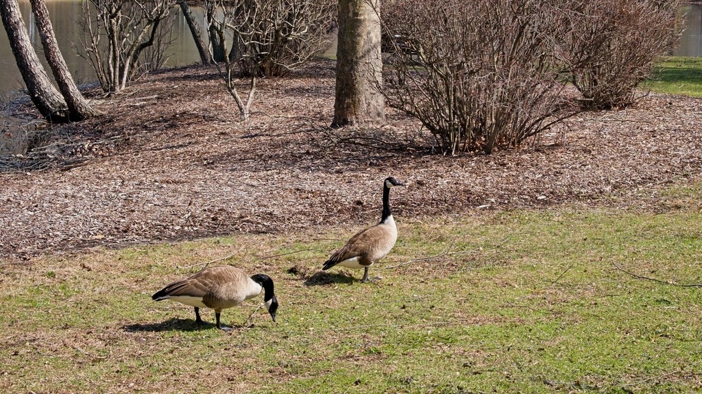
These geese have found some prime real estate for a nest.
A short distance away, on Church Road, sits one of two distinctive stone “Dragon Tooth” bridges over Darby Creek. The other is near the intersection of Sugartown and Church Roads.
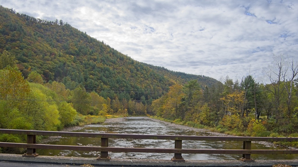
The grim winter weather continues in Chester County. I was able to get away on a Sunday to visit a few spots along French Creek.
Rapp’s Dam Covered bridge has been featured before on this blog. This bridge is a 105-foot-long (32 m), Burr truss bridge that was constructed in 1866 by Benjamin F. Hartman. It has fieldstone abutments, horizontal siding and boxed cornices with returns at its portals. It is one of three covered bridges that cross French Creek, the others being Hall’s Bridge and Kennedy Bridge. The Rapps Bridge was renovated in 1978 and again in 2011.
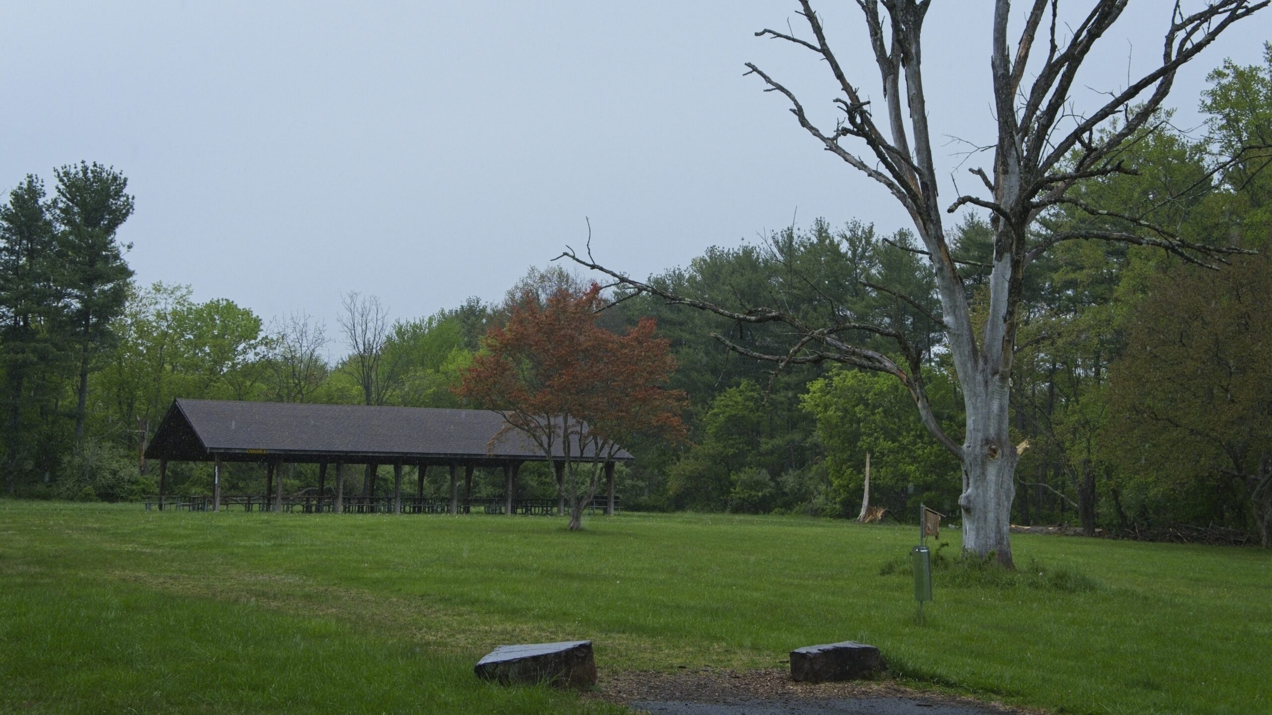
The bridge is adjacent to the French Creek Heritage Park which has picnic tables and access for the French Creek Trail.
Snyder’ s Mill also sits in the park. It was a linseed oil mill in the 1800s, and could be the graining mill of the 1775 Continental Powder Mill Complex. In recent years, Snyder’s Mill had been on the verge of total collapse. The East Pikeland Historical Commission has stabilized the mill and is working to promote the site as a heritage tourism destination.
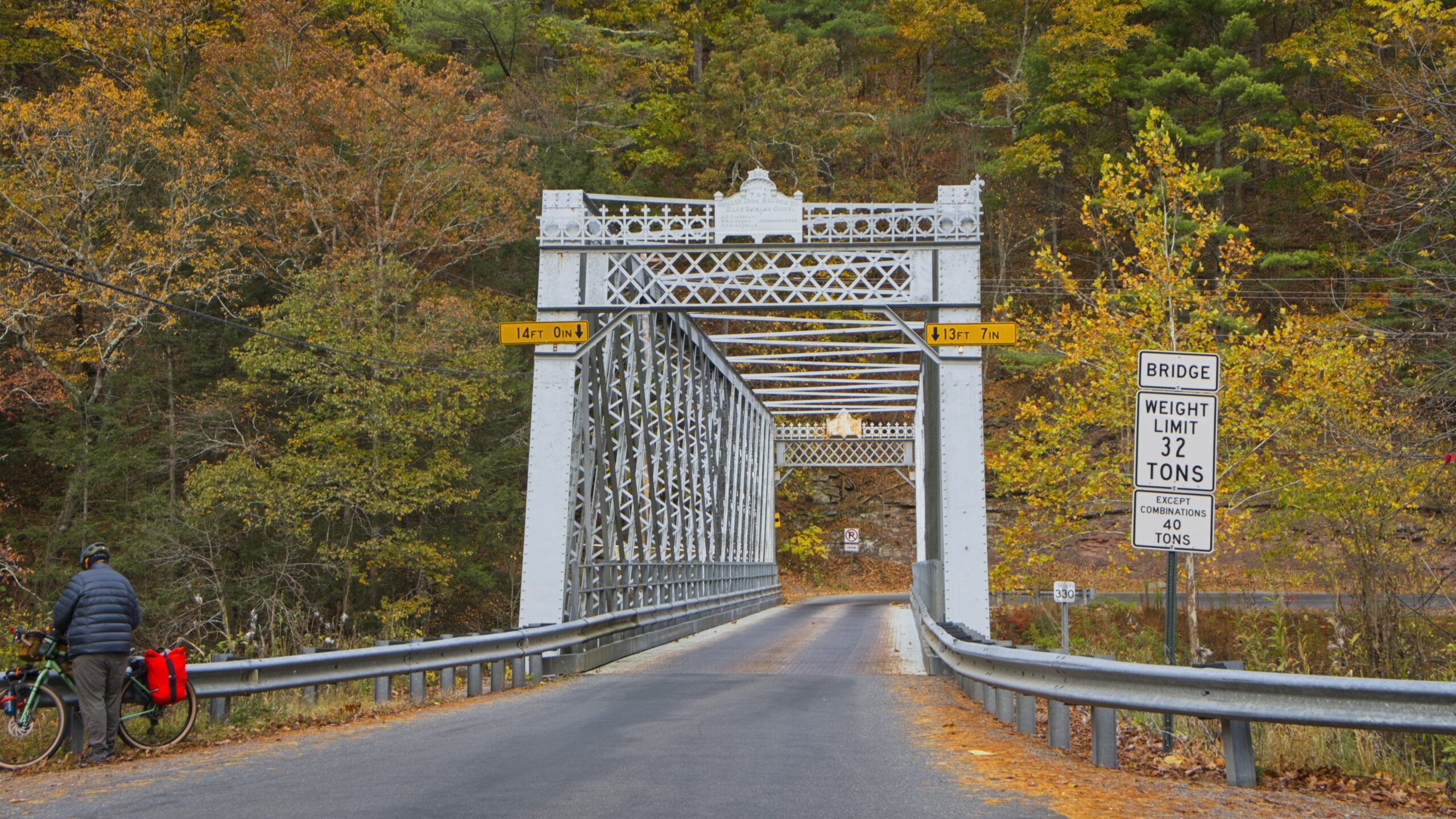
A short distance upstream is the Hares Hill Road Bridge, a single-span, wrought iron, bowstring-shaped lattice girder bridge. It was built in 1869 by Moseley Iron Bridge and Roof Company and is the only known surviving example of this kind.
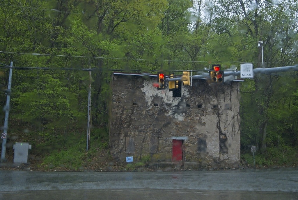
This building in the Kimberton area caught my attention.
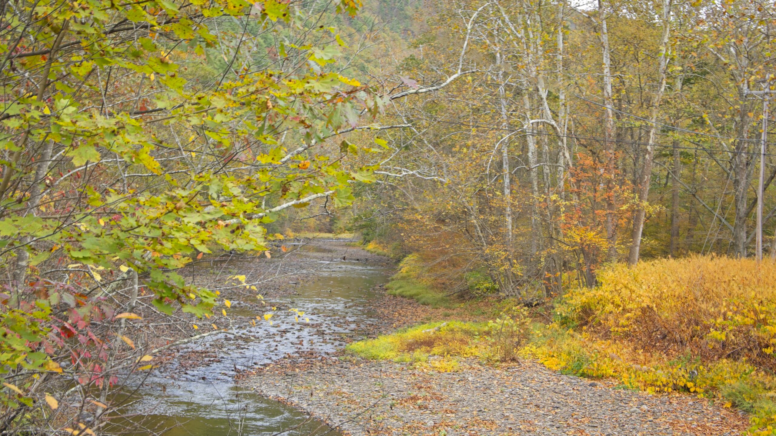
Near Waterville, Route 414 turns north up the Pine Creek valley. The southern part of this valley feels wider and has more towns along the banks of the stream. Most of this area is still in Lycoming County until just south of Blackwell. The Pine Creek area was the site of major logging activity from the late 18th through early 20th century and is now a major hub for recreation. Much of the now second-growth forest is protected by a network of parks, state game lands and state forest,
The aptly named “Bottom Lodge.”There are several points to launch small boats into Pine Creek and access the Rail Trail.From the bridge at Slate RunHilborn Iron Bridge
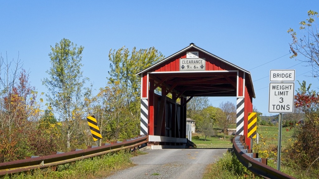
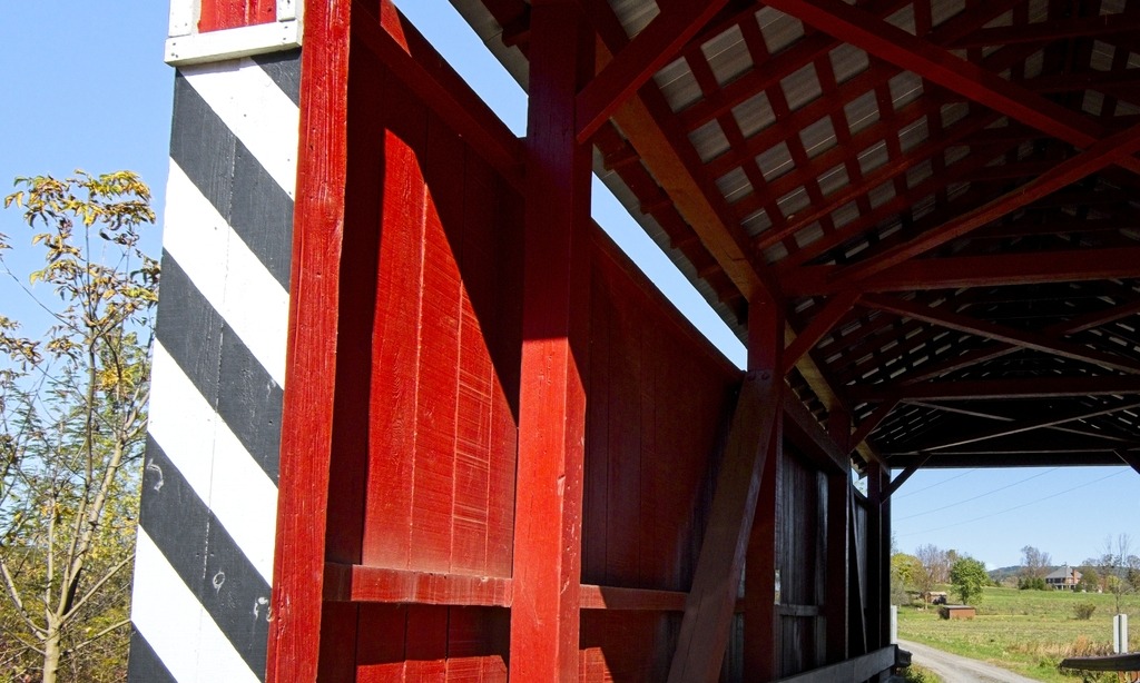
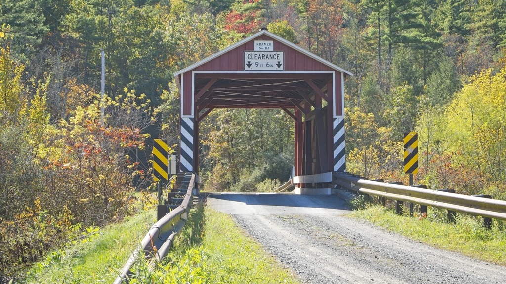
On my way to the Pine Creek area, I made a quick stop in Columbia County to view the Kramer Covered Bridge. I had somehow missed photographing this bridge, even though it is near where my relatives live.
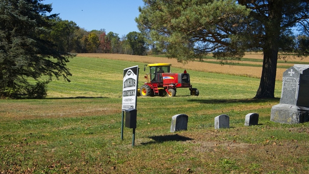
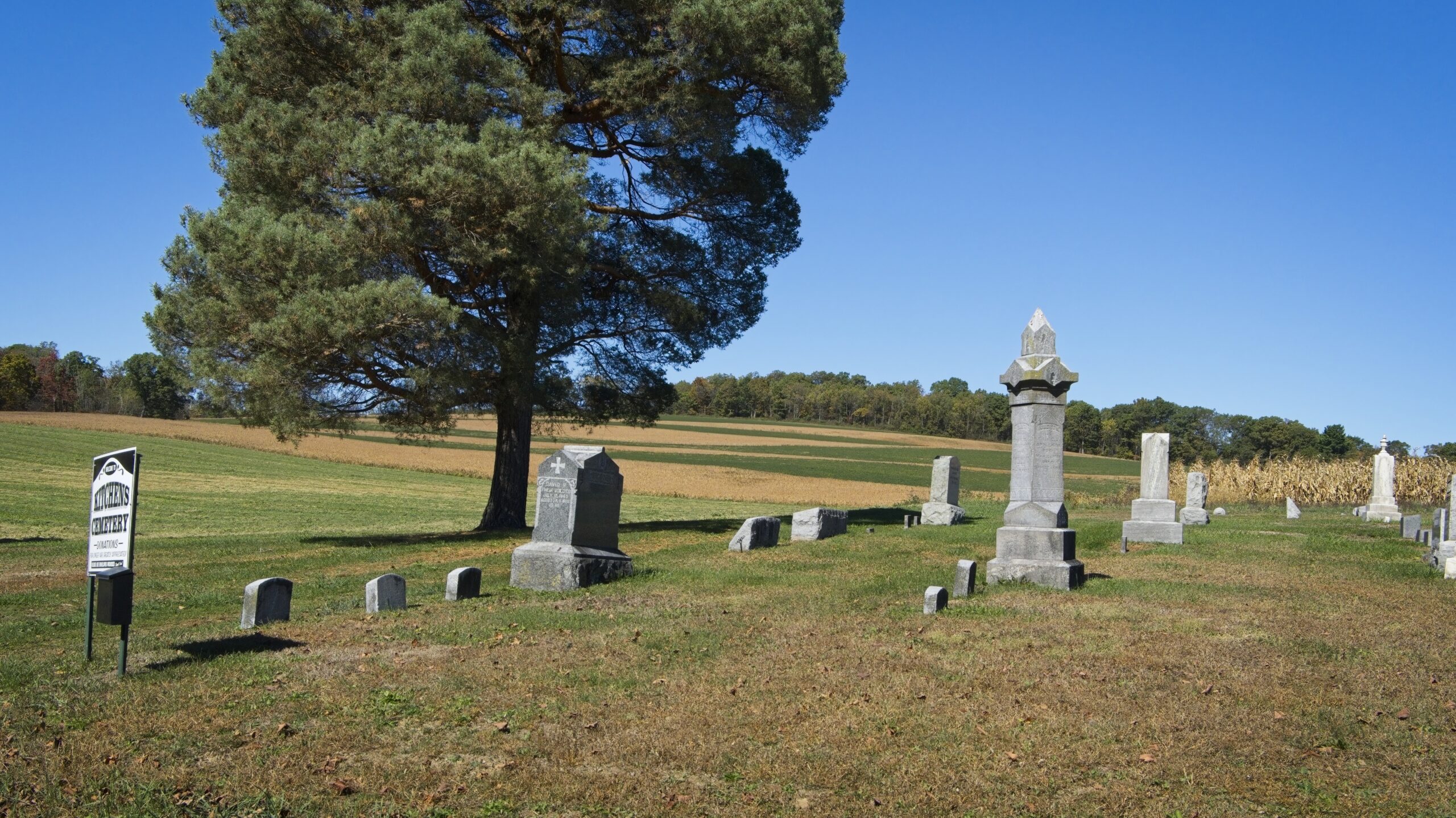
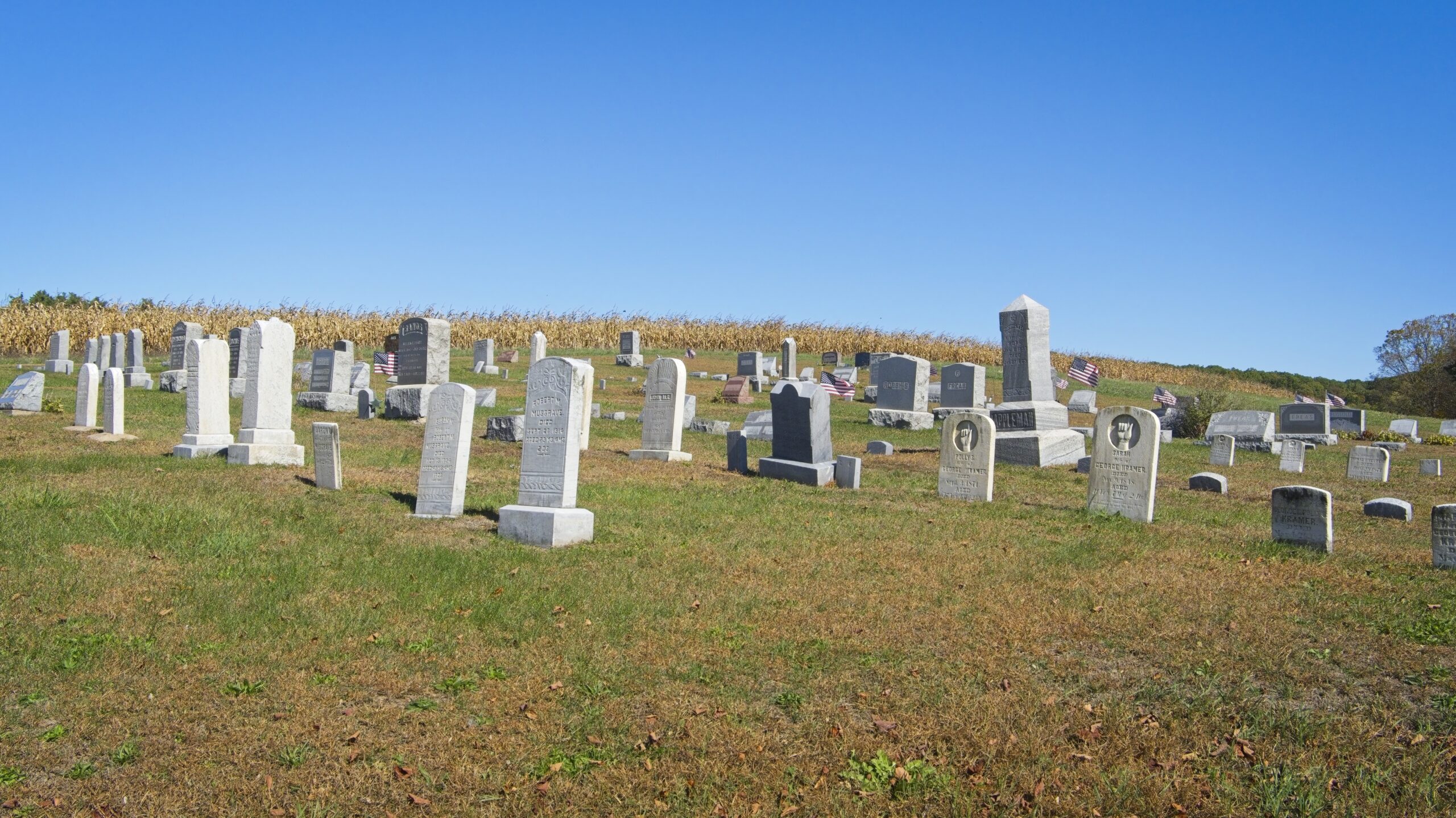
Showing signs of Autumn …A stop at Kitchens Cemerery where my grandparents are buried.
The Kramer Covered Bridge is a wooden covered bridge that is located in Greenwood Township. It crosses Mud Run. It was listed on the National Register of Historic Places in 1979. Built in 1881, this historic structure is a 50-foot-long (15 m), Queen Post Truss bridge with a metal roof constructed in 1881. It is one of twenty-eight historic covered bridges that are located in Columbia and Montour Counties.
As you begin to learn anything about photogrpaphy, the concept of “golden hour” (the hour right before sunset or after sunrise) will certainly come up. It is considered to be an ideal time to photograph because of the attractive soft light. In fact, you will often find advice that taking photos any other time is “wrong” and that you shouldn’t bother. I find that taking photos at this time to be quite tricky and that it doesn’t necessarily lead to better results. This is especially true if you shoot without a tripod or have limited choices in terms of angle and framing.
As you can see from the photos of covered bridges below. there is a dramatic difference in lighting between the photos taken from one side of the bridge compared to the other. However, I still like to document both sides of a bridge, if possible, so I am stuck with shots that really aren’t that great. If the subject is backlit, as it is here in some photos, it can look terrible. At golden hour you can be fighting low light, back-lighting (but with the foreground not usable as a silhouette), harsh light and long shadows.
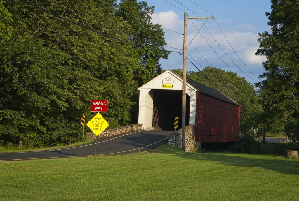
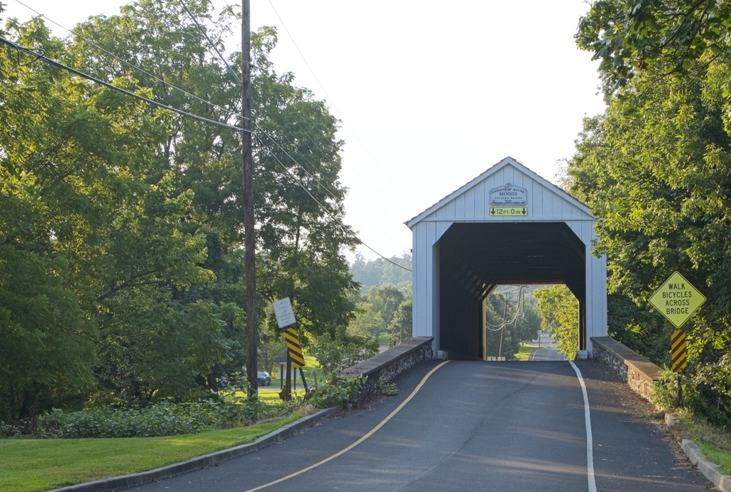
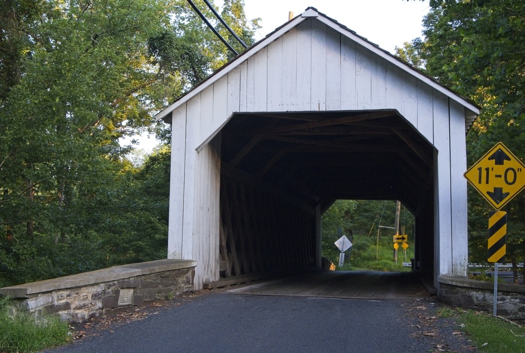
Rant over. I don’t get into Bucks County as often as I should. I took the opportunity of a trip to Nockamixon State Park for a star party to visit some covered bridges in the area. The first stop was Mood’s Covered Bridge, a historic covered bridge located in East Rockhill Township. It crosses the East Branch Perkiomen Creek.
Built in 1874 and designed in the town truss style, the bridge was 120 feet long and 15 feet wide. It was added to the National Register of Historic Places on December 1, 1980. It was destroyed by arson on June 22, 2004,and subsequently removed from the National Register of Historic Places. The wooden cover was subsequently rebuilt and the bridge reopened on February 15, 2008. It is an example of a one-way bridge and is open to vehicle traffic.
Moods Covered Briidge. Clearly one-way only.Moods Covered Bridge. Here is a photo froom the other side. See how washed out the sky is by comparison.
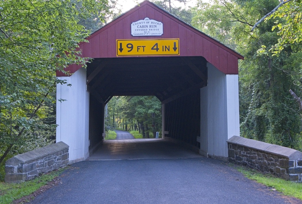
Below we have the all-white Loux Covered Bridge. A historic wooden covered bridge located on Wismer Road crossing Cabin Run upstream from the Cabin Run Covered Bridge in Bedminster Township and Plumstead Township. It was built in 1874 by David Sutton out of hemlock in the Town Truss style. This is one of the shorter covered bridges in Bucks County at only 60 feet (18 m) long. The bridge was added to the National Register of Historic Places on December 1, 1980. Bucks County obviously does not go for a uniform look for their covered bridges.
Loux Covered BridgeLoux Covered Bridge
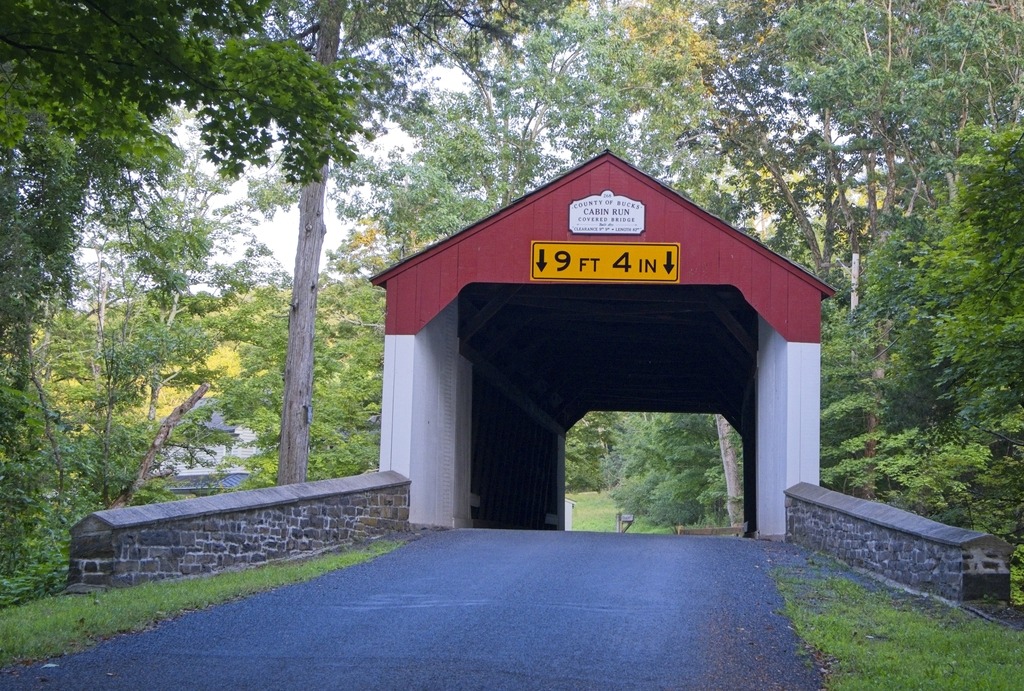
The Cabin Run Covered Bridge has a distinctive look. It is alsoo a historic covered bridge located in Point Pleasant, Plumstead Township. The bridge was built in 1871, and is 15 feet (4.6 m) wide and has a length of 82 feet (25 m). The Town truss bridge crosses Cabin Run (creek) downstream from the Loux Covered Bridge. It was added to the National Register of Historic Places on December 1, 1980. Together with the Loux Bridge, it is an example of a cluster or pair of bridges built over the same stream, as is found elsewhere in Pennsylvania.
Cabin Run Covered BridgeCabin Run Covered BridgeThis property is unusually close. You can even see the approach railing.Cabin Run Covered Bridge
The Paper Mill Museum is a historic three story stone building along Darby Creek in Newtown Township, Delaware County that contains an 1850’s era general store, and three levels of a local history museum containing artifacts representing the history of Newtown Township. The original building was constructed in 1828 to house four families that worked at the local mills along the Darby Creek. An addition was built in 1845 to contain a general store that served the community that grew up around the mills. In the immediate area of the site were the William Crosley Woolen Mill (1828-1861) and Casper S. Garrett’s Union Paper Mill (1869-1889). The building overlooks the creek and a stone bridge that carries St. David’s Road over the creek. A modern wooden pedestrian bridge over the creek connects the building to the parking area for the site.
Along the creek in the area are archeological remains of both old mills, including building foundations, the millrace, and other traces of the mill activity. The site was recognized as historically significant in 2002 when it was placed on the National Register of Historic Places.
The structure stood in ruins in the early 1980’s, without a roof, without a use, and destined for demolition. However, the history of the building and the site was recognized by a small handful of civic minded Newtown residents, and through their efforts and those of many other volunteers, the building was acquired by the Township, and then enclosed to protect it from the elements. Over the last 25 years, the Building has been restored, inside and out, and now houses a recreated general store from the mid-19th century, and a museum containing artifacts collected and donated by Newtown residents that represent some of the history of the Township and its people.
Here are some views of the exterior and the grounds:
Not far away sits Bartram’s Covered Bridge, which spans the county line between Delaware and Chester Counties over Crum Creek in Newtown Square. As such, it is the last covered bridge remaining in Delaware County, a county which once had over 30 covered bridges. The bridge has unique slanted plank portals, the only bridge in Pennsylvania with this unusual design.
Built in 1860 by Ferdinand Wood, who designed the portals to be “Hi and Wide as a Load of Hay,” the bridge is 80 feet long by 13 feet wide. The original cost of $1,133 to build the bridge was shared by Delaware and Chester Counties. It is named for Mordecai Bartram, an adjacent landowner. The bridge design, pioneered by Theodore Burr, features the Burr Truss, commonly found in Pennsylvania covered bridges of the time. At one time, the words “LINCOLN, Save Union and Congress” were still visibly painted inside the bridge. The last traces of this old graffiti from 1860 are believed to have been lost during the last restoration of the bridge in 1995.
The bridge closed to traffic in 1941. The bridge was first rehabilitated in the 1960’s (at the time by the Marple Newtown Historical Society). After years of neglect, the bridge was restored in 1995, funded by a combination of donations, grants and fundraising. The bridge is on the National Register of Historic Places.
The bridge appears to have had some additional work since I last visited. There is now a gravel parking area on the west side of the bridge, in addition to on street parking on a side street to the east.
The Ashland Covered Bridge, also known as Ashland Bridge or Barley Mill Road Covered Bridge, is a covered bridge over Red Clay Creek on Barley Mill Road (near the junction of Brackenville Road) in Ashland in New Castle County, Delaware. It was added to the National Register of Historic Places in 1973.
It is a Town lattice truss bridge following a design of Ithiel Town, built about 1860. It is almost identical to the Wooddale Bridge. It adjoins the Ashland Nature Center and is one of the last remaining covered bridges in Delaware..
The Town lattice truss.I loved the Kingfisher on this building at the Ashland Nature Center.A stream at the Nature Center.
Here is a look at the Rex Covered Bridge, a historic wooden covered bridge located in North Whitehall Township in Lehigh County. It is a 150-foot-long (46 m), Burr Truss bridge, constructed in 1858. It has narrow horizontal siding and a gable roof. It crosses Jordan Creek. It was listed on the National Register of Historic Places in 1980.
Tuscarora State Park sits in a valley north of Blue Mountain near coal mining regions of Pennsylvania. It is a lovely park, but one which has serious problems in terms of ADA access, especially to the lake and beach.
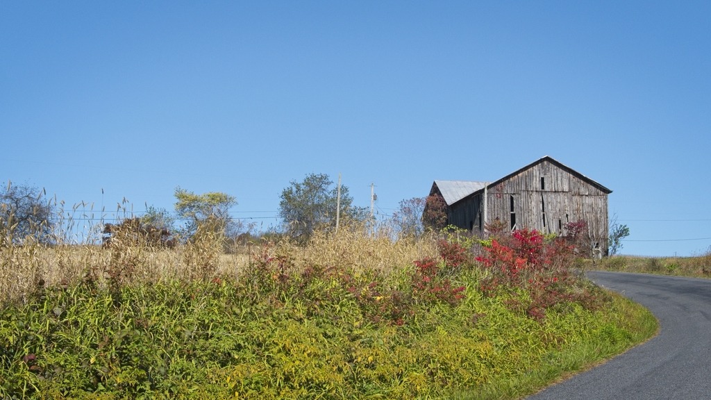
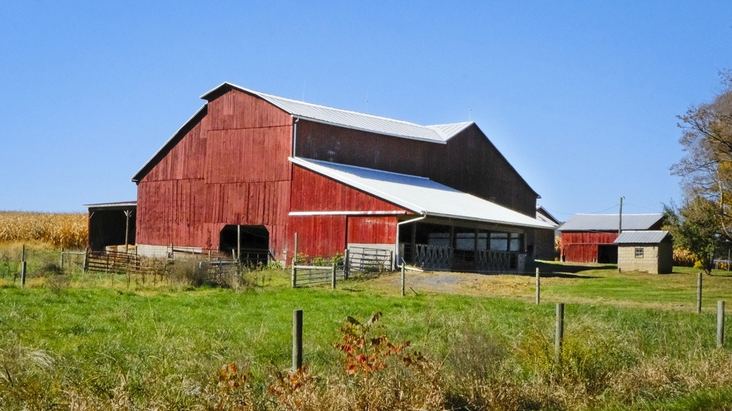
I passed this farm on my way to my next location.
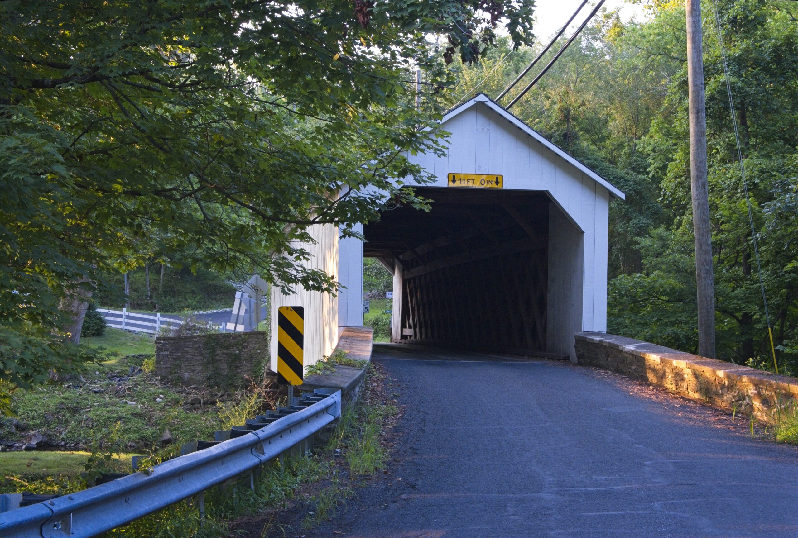
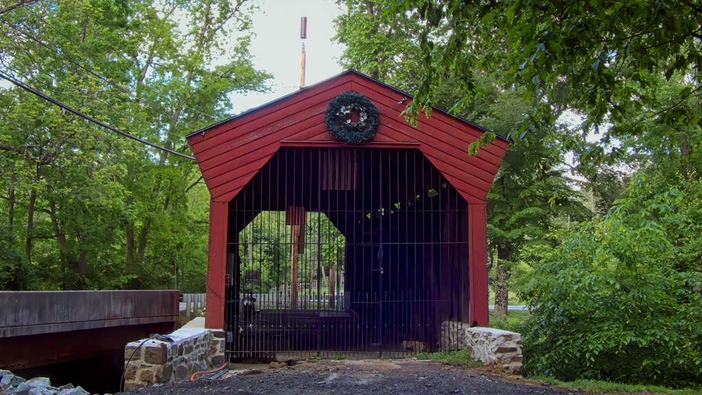
It was then on to Beltzville State Park to view a covered bridge I only recently realized was there.
The Harrity Covered Bridge.The dam is run by the Army Corps of Engineers.