Autumn is my favorite time of year and probably the most photogenic time in Pennsylvania. Here is a look back at some fall foliage in northwestern Chester County.
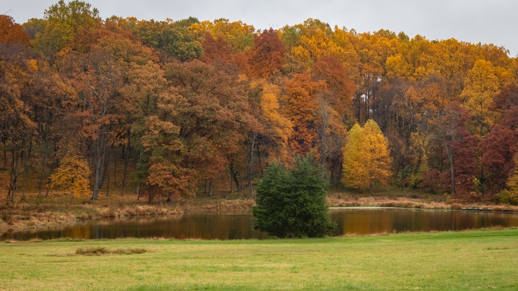


Gunkle Spring Mill is a historic American gristmill complex constructed in 1793. It is located in East Whiteland Township, Chester County and was listed on the National Register of Historic Places in 1978. The mill was built in 1793 by Michael and Chatharina Gunkle. It is a 2 1⁄2-story, banked stone structure with a gable roof. Also located on the property are a 2 1⁄2-story, stuccoed stone miller’s house, a one-story stone spring house, a one-story stone smokehouse, and a one-story stone carriage house.
Gunkle was a German immigrant from Philadelphia who purchased 974 acres (394 ha) in 1792 in East Whiteland, where he constructed and operated the gristmill, along with a saw mill and a fulling mill. By 1872 the mill processed 1,800 short tons (1,600 t) of flour, feed, corn, and oats yearly. At the peak of its productivity, the mill ran 18 hours a day. The mill remained in continuous operation into the 1940s.


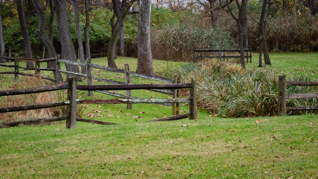
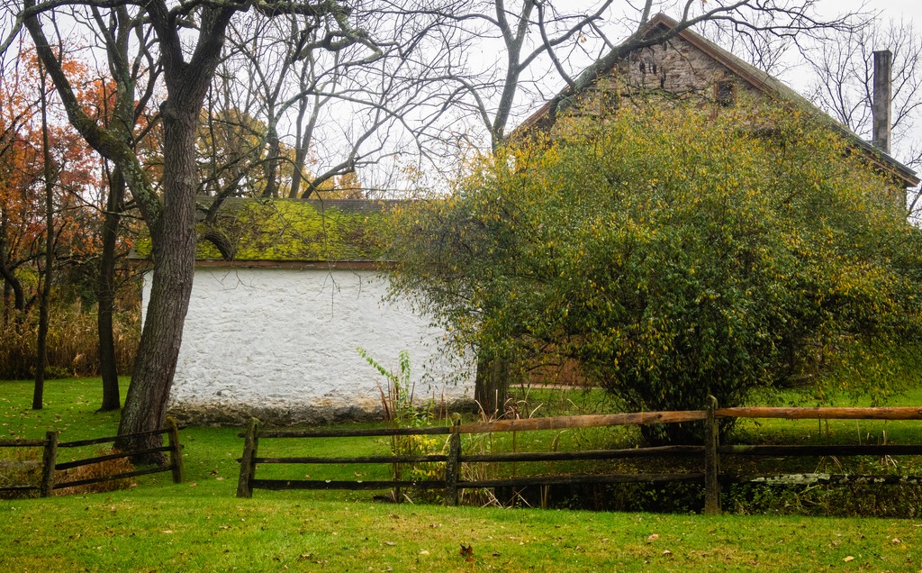

Christiana is a borough in Lancaster County, Pennsylvania, United States. Present-day Christiana was once known as Nobleville. The present name is after Christiana Noble, the wife of a first settler. It is notable as the site of the Christiana railroad depot, constructed by the Pennsylvania Railroad.


In 1851, the town was the site of the Battle of Christiana, also called the Christiana riot. On September 11, 1851, Christiana was the site of the Battle of Christiana (also called the Christiana Riot), in which the local residents defended with firearms a fugitive slave, killing the slaveowner. Southerners demanded the hanging of those responsible, who were accused of treason and making war on the United States, but after the first defendant was acquitted, the government dropped the case. The trial was the first nationally covered challenge to the Fugitive Slave Act of 1850. Today, the town is the sight of the Christiana Underground Railway Center.

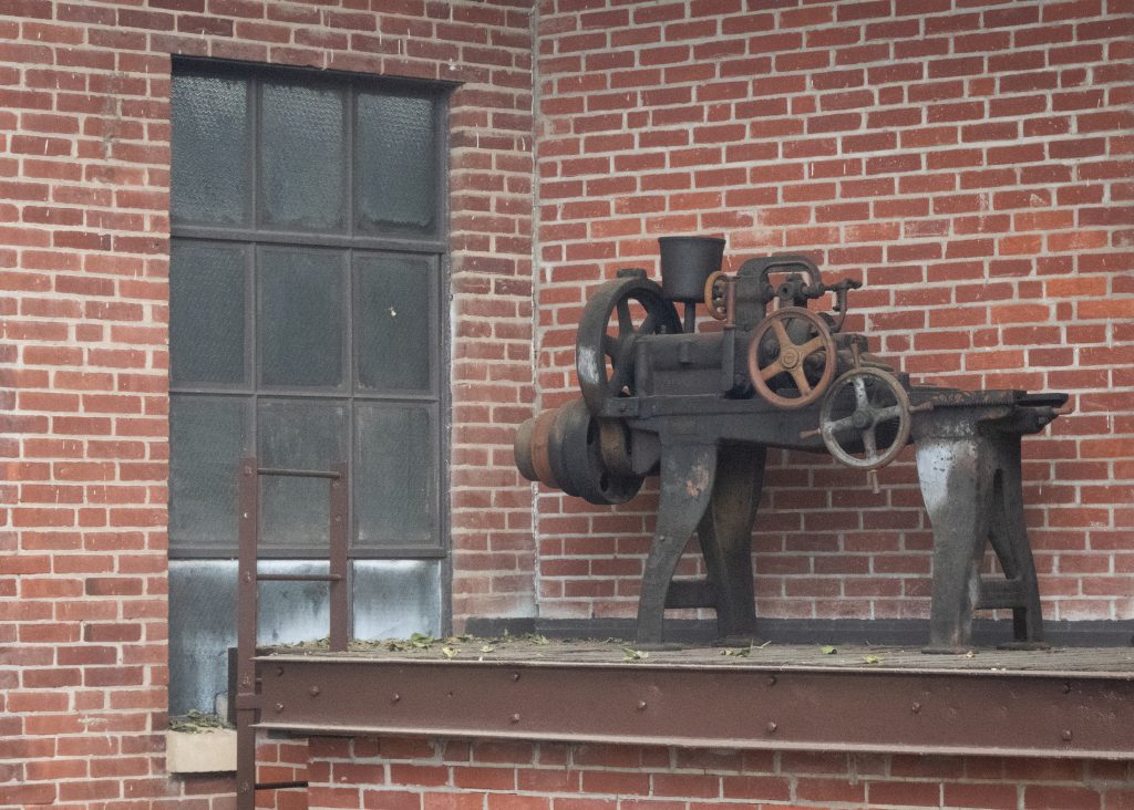
Some other views from the town and the surrounding area:


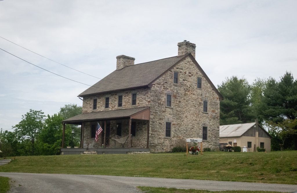

A trip to Middle Creek in late summer led to some unexpected viewing. I went in search of a Hudsonian Godwit, but found something else entirely. First up was this group of horses, hitched to a fence with no riders in sight:


I then spied this wedding party (perhaps Mennonite?) near the visitors center.


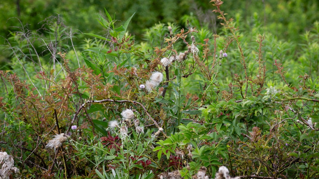
An finally, that Hudsonian Godwit and some Canada Geese with an interloper Great Egret.


Pennsylvania recently announced the designation of three new state parks. As facilities at these parks are still under development, we will take a brief look at two of them here.
The 1,700-acre Big Elk Creek State Park in southern Chester County. The majority of the park consists of lovely farmlands and forest. The park acts as a wildlife corridor and provides refuge for an array of threatened and endangered species. The park’s namesake, Big Elk Creek, traverses the park and is a high-quality stream. Visitors currently may access passive recreational activities, including trail hiking, bird watching, horseback riding, fishing, and hunting.


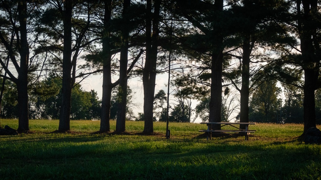

The 1,044-acres of Susquehanna Riverlands State Park lie in York County, along the confluence of Codorus Creek with the beautiful Susquehanna River. It is nearly six miles northwest of Wrightsville, Pennsylvania. The park features multiple rock outcrop vistas over the river and nearly a mile of riverfront along the Susquehanna with 1.5 miles along Codorus Creek. An approximately 2.75-mile-long portion of the Mason-Dixon Trail traverses the park. This 200-mile-long trail connects the Appalachian Trail at Whiskey Springs in Cumberland County with Chadds Ford along the Brandywine River. The cliffs overlooking the river are also popular for rock climbing.

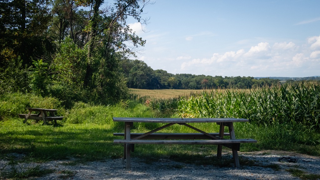
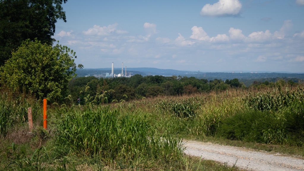

Codorus Furnace is a reconstructed iron furnace that is very close to Susquehanna Riverlands State Park and makes a nice stop if you are visiting the park. Erected in 1765, the Codorus Furnace was once owned by James Smith of York, a signer of the Declaration of Independence. Cannon balls were cast in the original furnace during the Revolutionary War and the War of 1812. In 1837, iron was floated downstream to Philadelphia and Baltimore to service early manufacturing. The furnace ceased operations in 1850. The Codorus Furnace is currently owned and maintained by the Conservation Society of York County.


I would like to wish one and all a very Merry Christmas and remind you that peace and tolerance will not continue to flourish if good people do nothing and allow evil and greed to go unchecked.
Next weekend the blog will be taking the weekend off for the holiday. In the meantime, have a look at my town, which has some of the best Christmas lights in eastern Chester County and has been previously featured here. I’ve added some new shots this year.


The trek around Lancaster County’s to view its covered bridges continues. This post will contain looks at quite a few of the bridges in the western part of the county with some nearby views. First are pair of bridges that are quite close to each other.
Forry’s Mill Covered Bridge is a covered bridge that spans Chiques Creek in West Hempfield. A county-owned and maintained bridge, its official designation is the Big Chiques #7 Bridge. The bridge has a single span, wooden, double Burr arch trusses design with the addition of steel hanger rods. The deck is made from oak planks. The bridge’s WGCB Number is 38-36-28. In 1980 it was added to the National Register of Historic Places as structure number 80003512. Forry’s Mill Covered Bridge was originally built in 1869 by Elias McMellen for a cost of $2969. The bridge required repairs in 1925 to its sides and floor.


Its partner is Seigrist’s Mill Covered Bridge, an 88-foot (27 m), Burr Arch Truss covered bridge over Chiques Creek between Rapho and West Hempfield Townships. Owned and maintained by the county, its official designation is the Big Chiques #6 Bridge. The bridge’s World Guide to Covered Bridges Number is 38-36-37. It was listed on the National Register of Historic Places as structure number 80003513 in 1980. The bridge is less than a mile away from the Forry’s Mill Covered Bridge. The bridge was built in 1885 by James C. Carpenter. It was named after the Siegrist family who lived nearby.


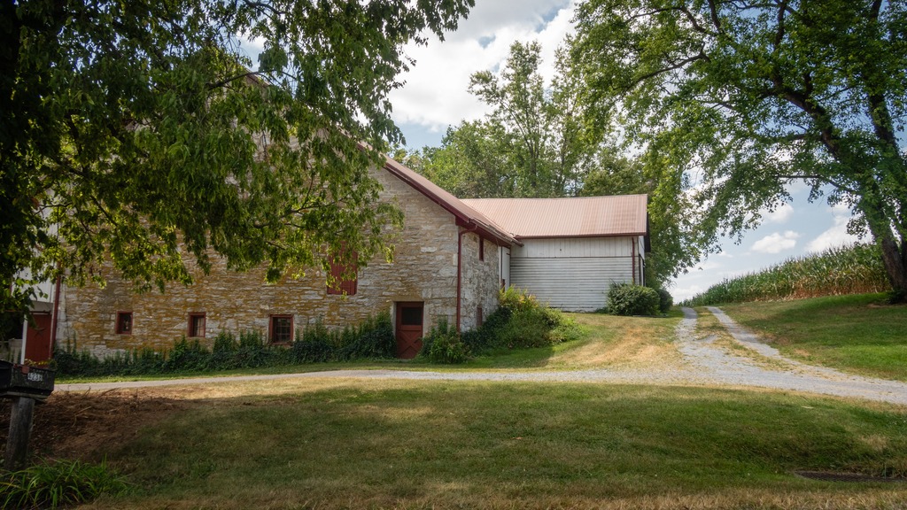

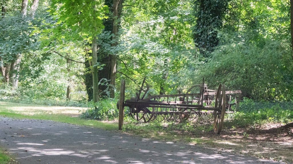
Heading farther south, we come across a trio of bridges on Pequea Creek. The Colemanville Covered Bridge spans the Creek. After Hunsecker’s Mill Covered Bridge, it is Lancaster County’s second-longest single-span covered bridge still in use. It is also referred to as the Martic Forge Covered Bridge and Pequea #12 Bridge. The bridge has a single span, wooden, double Burr arch trusses design with the addition of steel hanger rods. The deck is made from oak planks. The bridge’s WGCB Number is 38-36-26. In 1980, it was added to the National Register of Historic Places as structure number 80003534. The Colemanville Covered Bridge was originally built in 1856 by James C. Carpenter at a cost of $2,244. After being damaged twice by flooding, it was partially rebuilt in 1938 by Edmund Gardner and in 1973 by David Esh. Lancaster county completely rebuilt the bridge in 1992 for $350,000. During the restoration process the bridge was raised by 6 feet (1.8 m) and moved west a few feet to protect it from damage in potential future flooding.


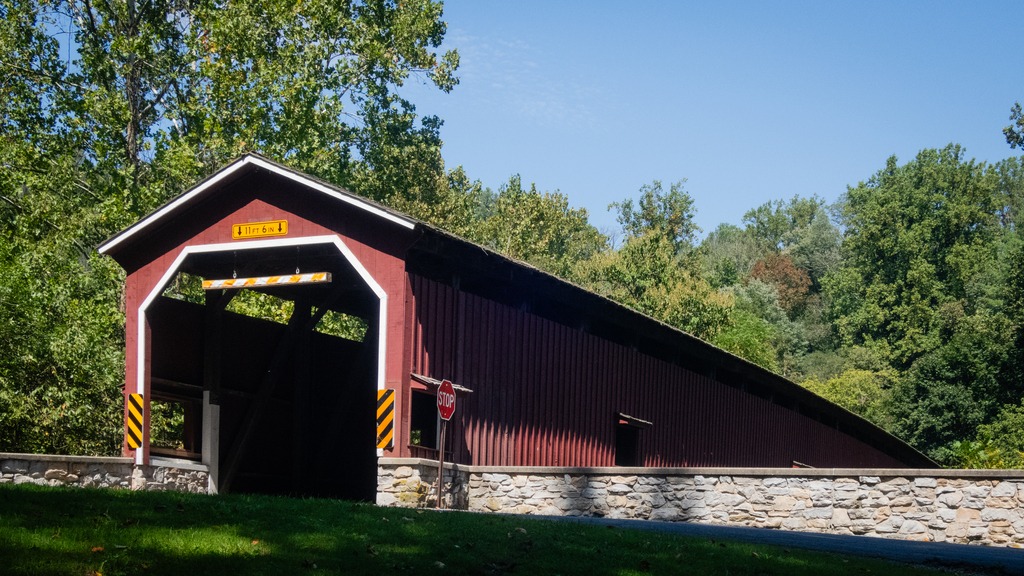
Baumgardener’s Covered Bridge is a covered bridge that also spans Pequea Creek. A county-owned and maintained bridge, its official designation is the Pequea #10 Bridge. The bridge has a single span, wooden, double Burr arch trusses design with the addition of steel hanger rods. The deck is made from oak planks. The bridge’s WGCB Number is 38-36-25. It was listed on the National Register of Historic Places on December 11, 1980. Baumgardener’s Covered Bridge was built in 1860 by Davis Kitch at a cost of $1,284. In 1987 the bridge was restored after it was damaged in a flood the previous year. During this restoration process, which cost $200,000, the bridge was raised by 4 feet (1.2 m) and lengthened by 9 feet (2.7 m) to protect it from damage in potential future flooding.
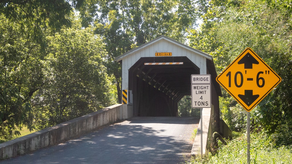


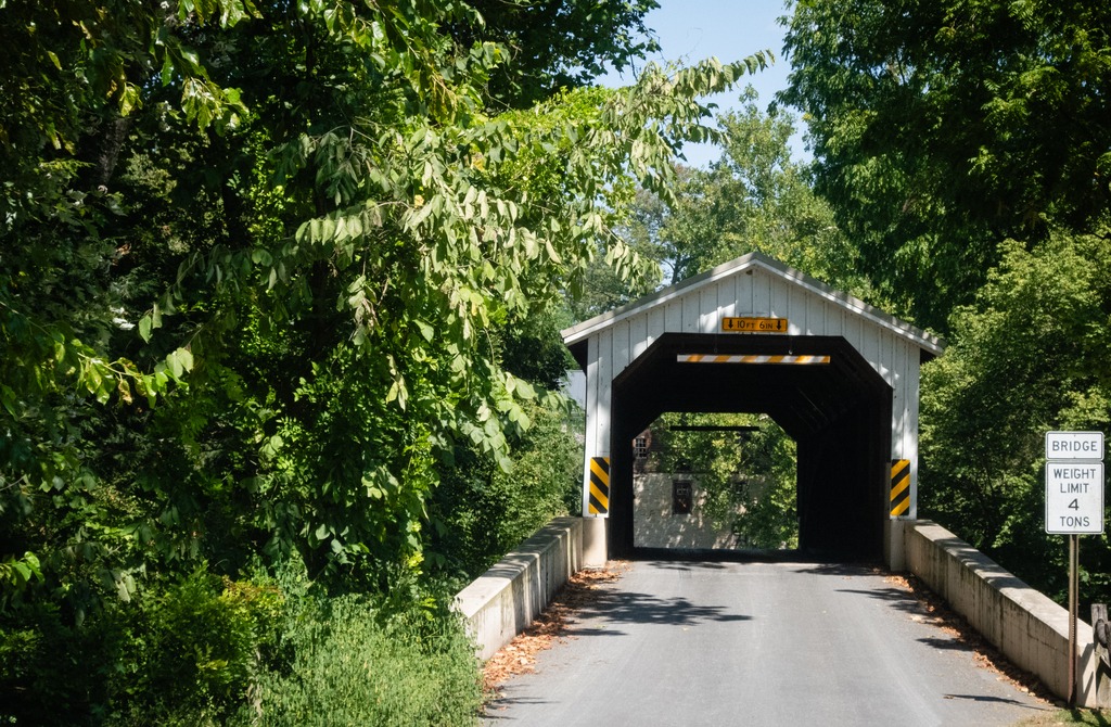
Finally, we come to Lime Valley Covered Bridge, which spans Pequea Creek. A county-owned and maintained bridge, its official designation is the Pequea #8 Bridge. The bridge has a single span, wooden, double Burr arch trusses design with the addition of steel hanger rods. The deck is made from oak planks.
The bridge’s WGCB Number is 38-36-23. Added in 1980, it is listed on the National Register of Historic Places as structure number 80003535. It was built in 1871 by either Joseph Cramer or Elias McMellen at a cost of $3,500. The bridge was a twin to another covered bridge built in 1857 by Silas Wolverton that was located 200 ft (61 m) to the west of the Lime Valley Covered Bridge.


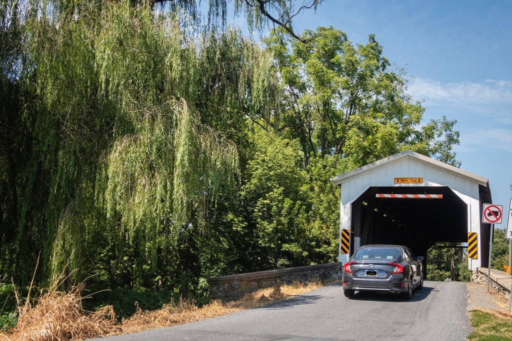

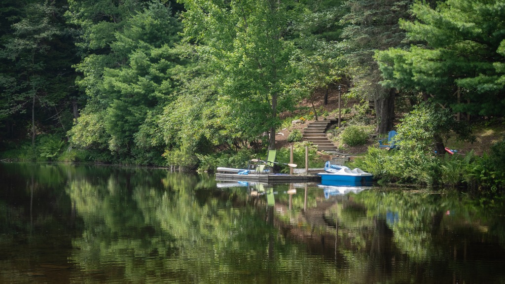
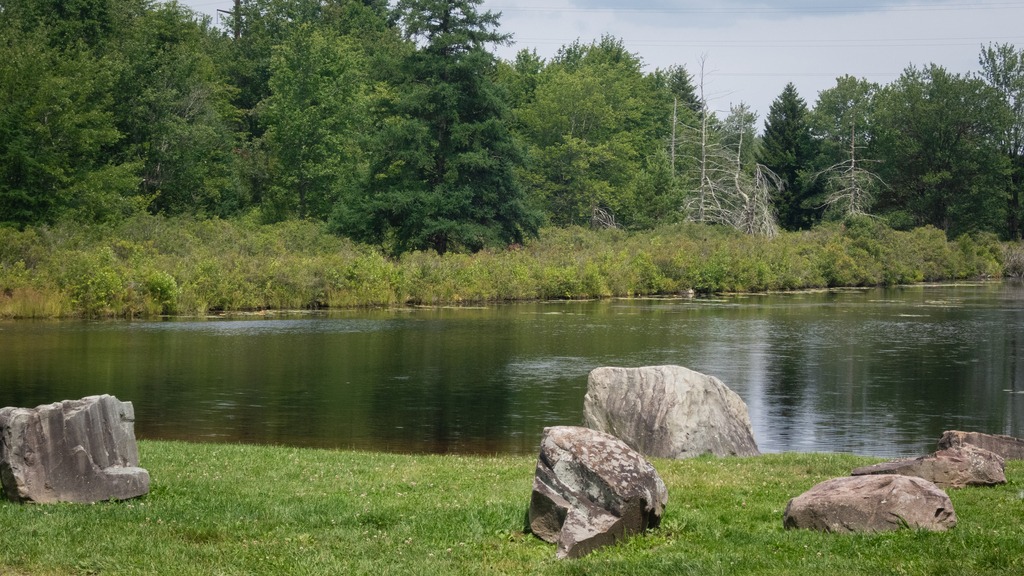
My annual trip to Lake Naomi in the Poconos with some friends occurred back in August. I took the opportunity to stop at a few locations along the way.
My first stop was the Little Gap Covered Bridge. The bridge was built around 1860, and the structure is a seventy-three-foot, Burr truss-span that crosses the Aquashicola Creek. The bridge incorporated elements of the Howe truss in its construction. A nearby restaurant, the “Covered Bridge Inn,” takes its name from the bridge. In 2011, the bridge was damaged by a hit and run driver.


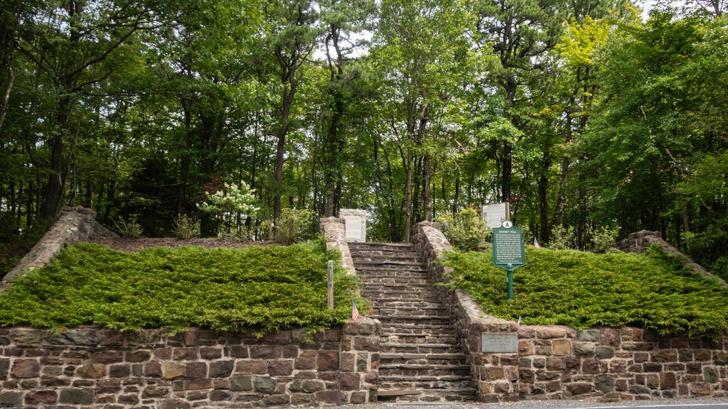
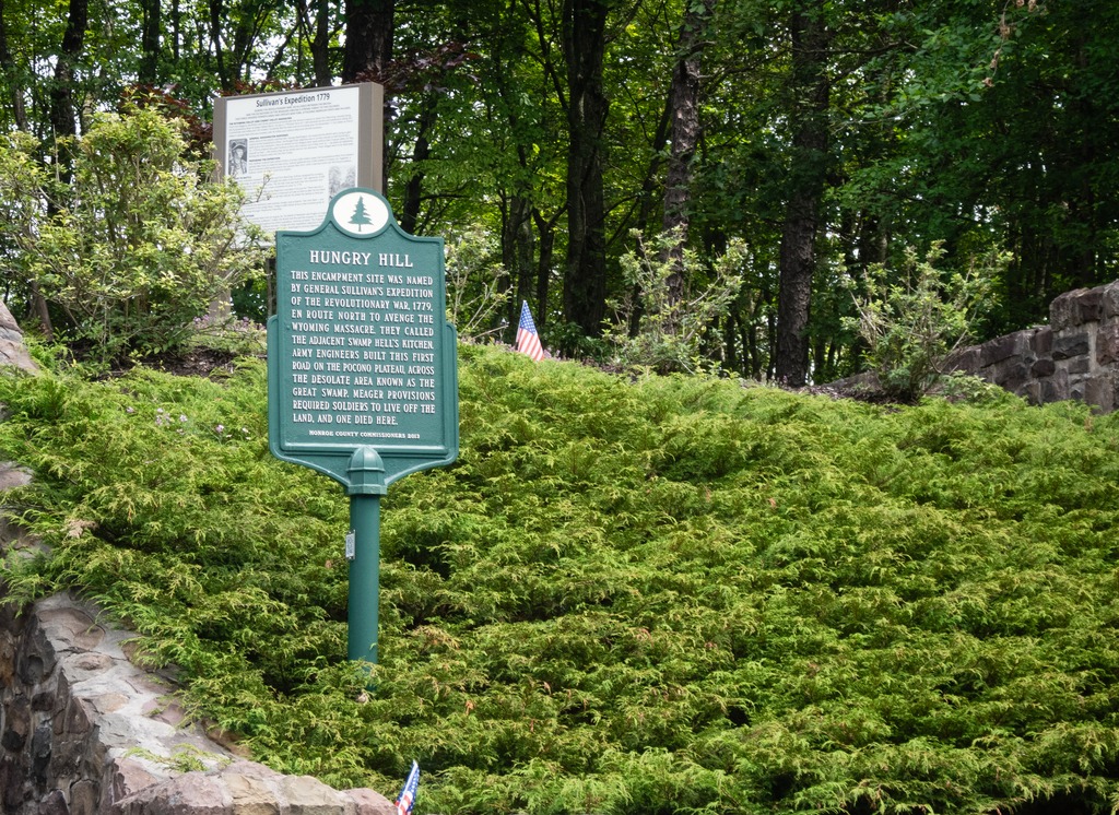
A second stop, very close to Lake Naomi, is the Hungry Hill historic site on the Sullivan Trail. The site is a Revolutionary War memorial and gravesite of an unknown soldier of the Revolutionary War.
The inscription on the plaque reads:
“This encampment site was named by General Sullivan’s expedition of the Revolutionary War, 1779, en route north to avenge the Wyoming Massacre. They called the adjacent swamp Hell’s Kitchen. Army engineers built this first road on the Pocono Plateau, across the desolate area known as the Great Swamp. Meager provisions required the soldiers to live off the land, and one died here.”


And, finally, some shots from around Lake Naomi.

Latest Posts
Search
Feels like: 57°F
Wind: 14mph W
Humidity: 38%
Pressure: 29.77"Hg
UV index: 3