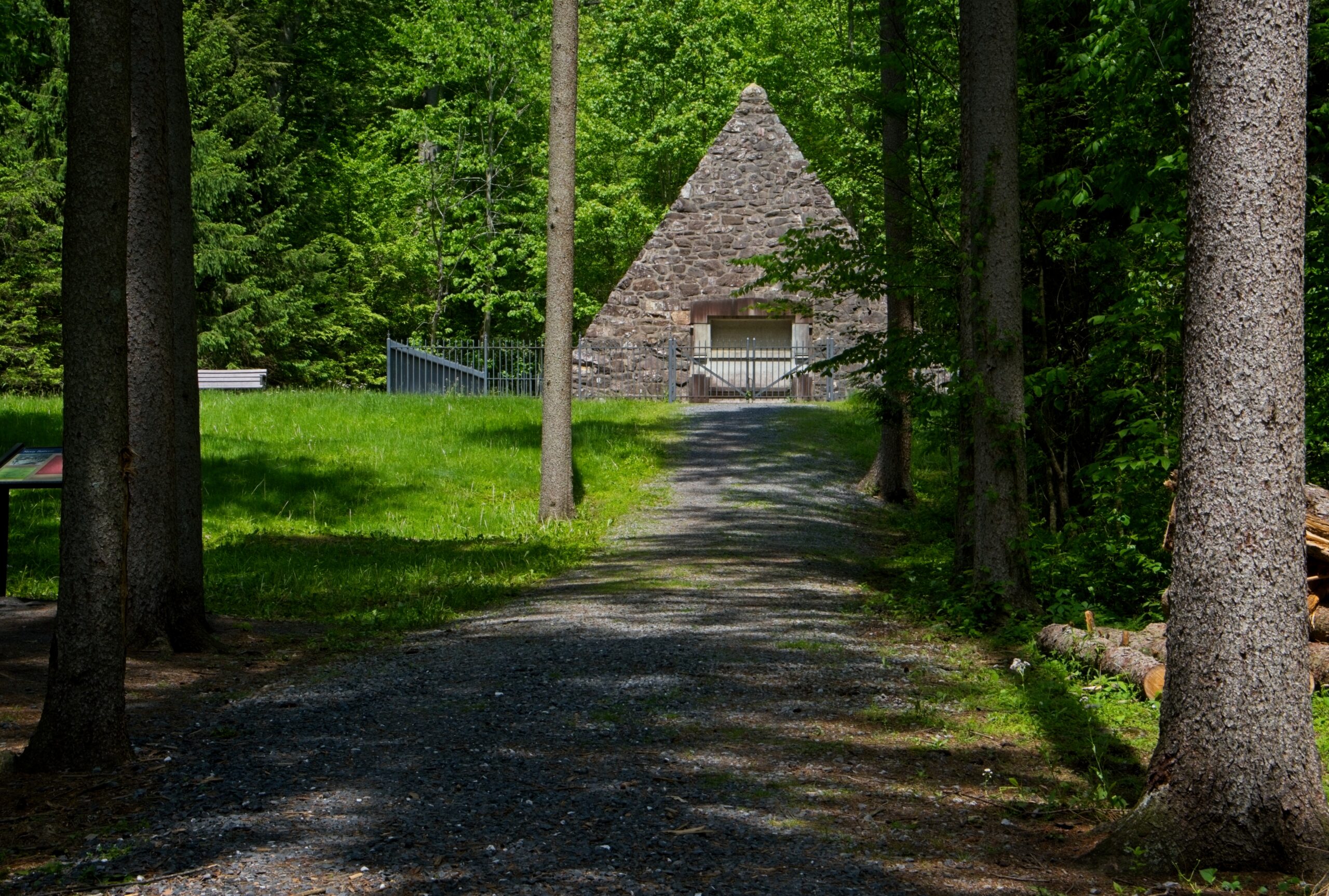
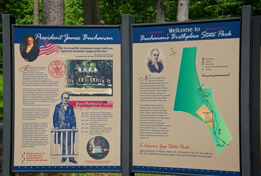
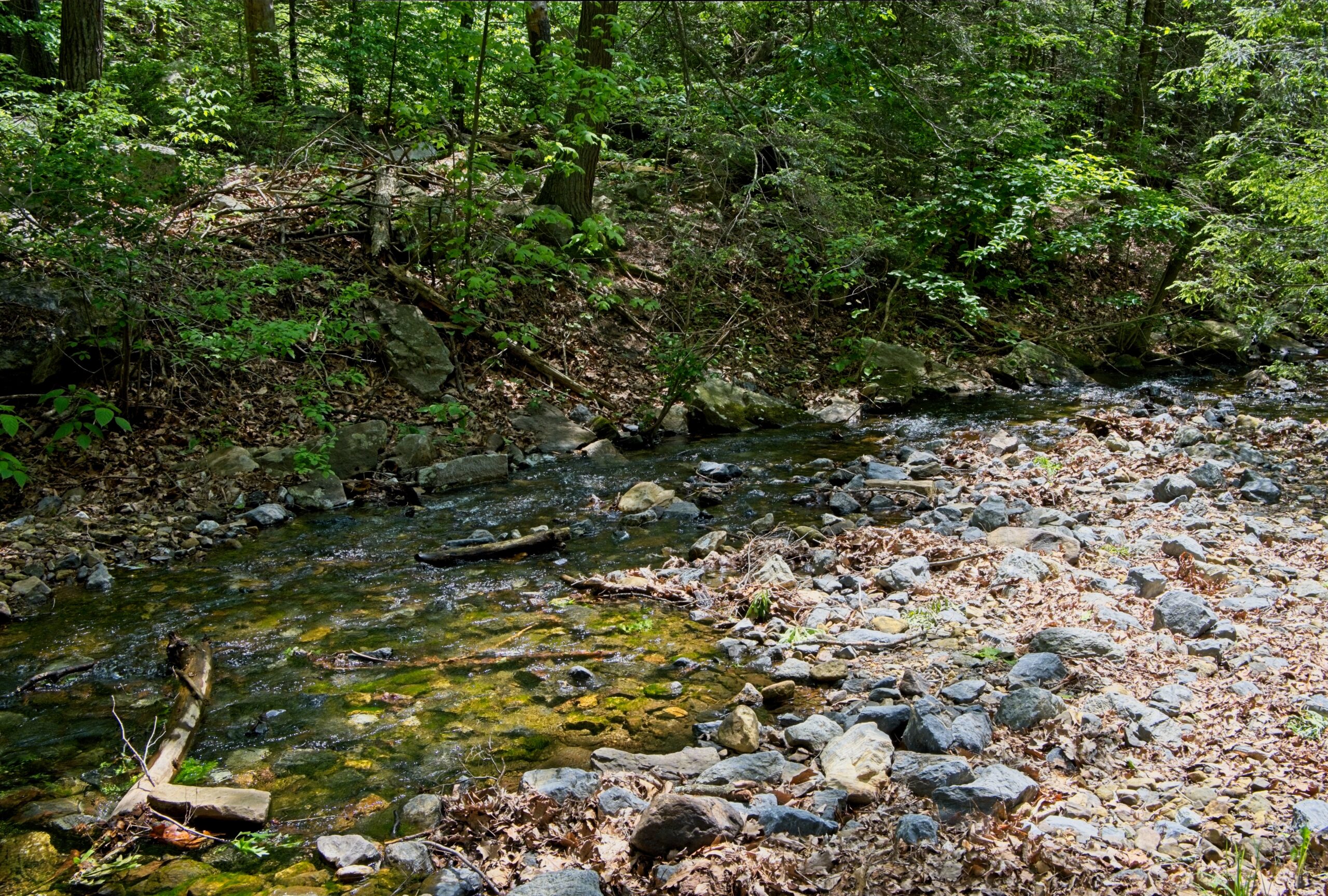
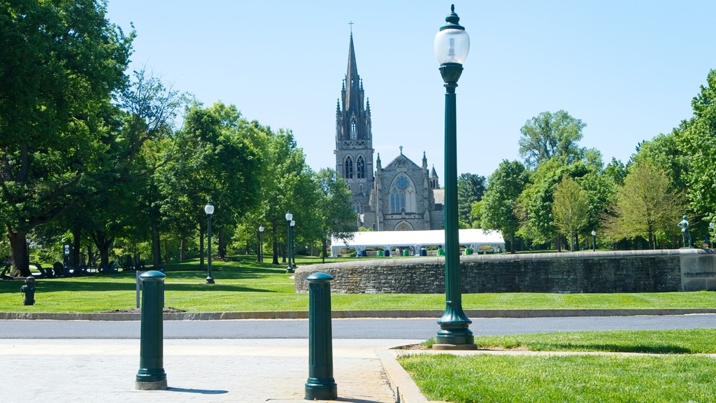
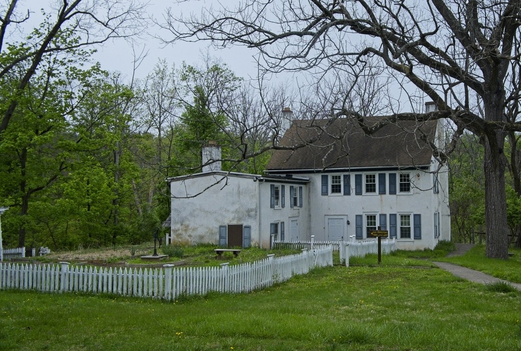
Buchanan’s Birthplace State Park is an 18.5-acre park nestled in a gap of Tuscarora Mountain in Franklin County. Today, the area is still a quiet place, but on April 23, 1791, at the time of James Buchanan’s birth, Cove Gap was on the western edge of civilization — a place alive with the sights and sounds of a center of commerce. Although the surrounding Allegheny Mountains provided a formidable barrier to those seeking the way to the west, Cove Gap cut through two of the three parallel mountains, making the westward journey a little easier. During those days, anyone seeking a route west passed through this gap and by the last mercantile store for many miles.
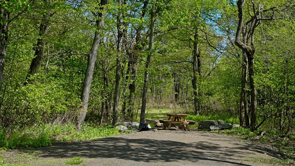
The park today provides historical interpretive signage and opportunities for picnicking and fishing. I previously visited the park, which is featured in this post.
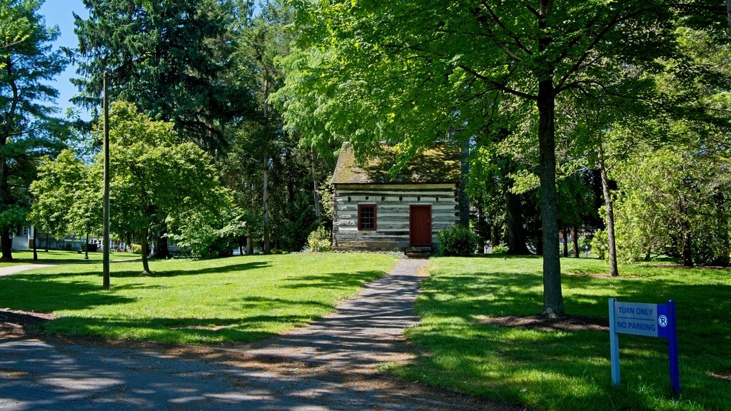
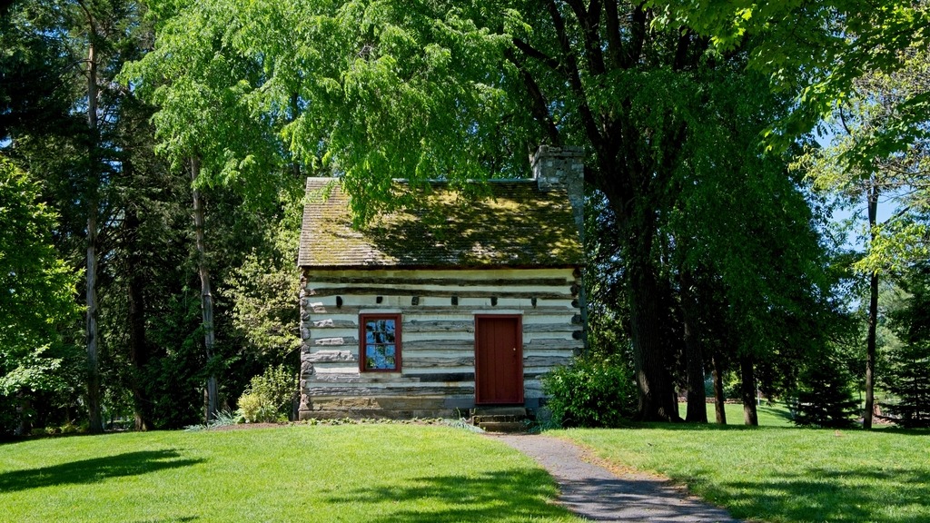
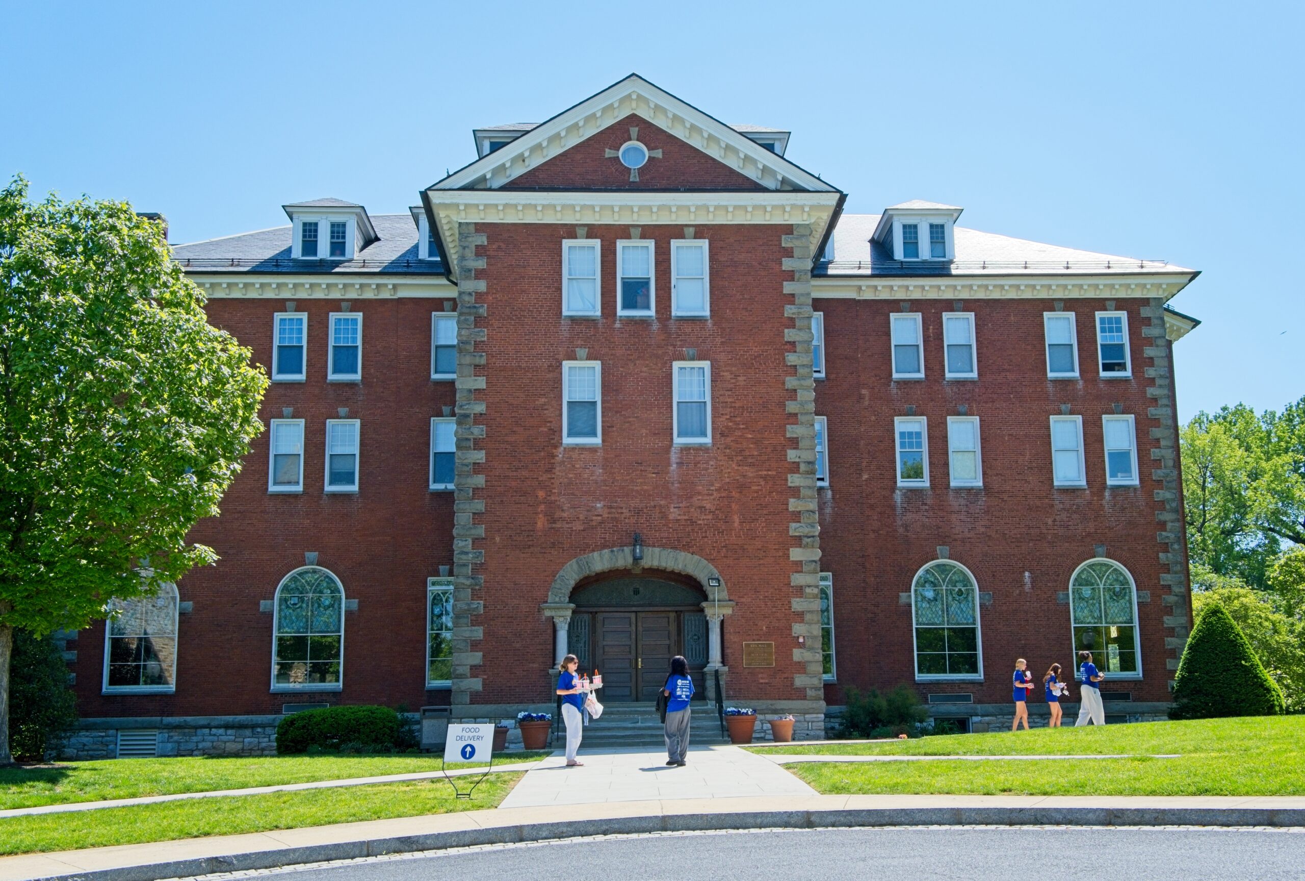
The James Buchanan Cabin (believed to be the birthplace of the first Pennsylvanian to be elected president of the United States) was originally located at the site. It was erected sometime before 1791. The cabin was moved to Chambersburg, where it served various uses. To ensure that the cabin would be adequately stored and maintained, Mercersburg Academy purchased it in 1953 and placed it near Nolde Gymnasium on campus.
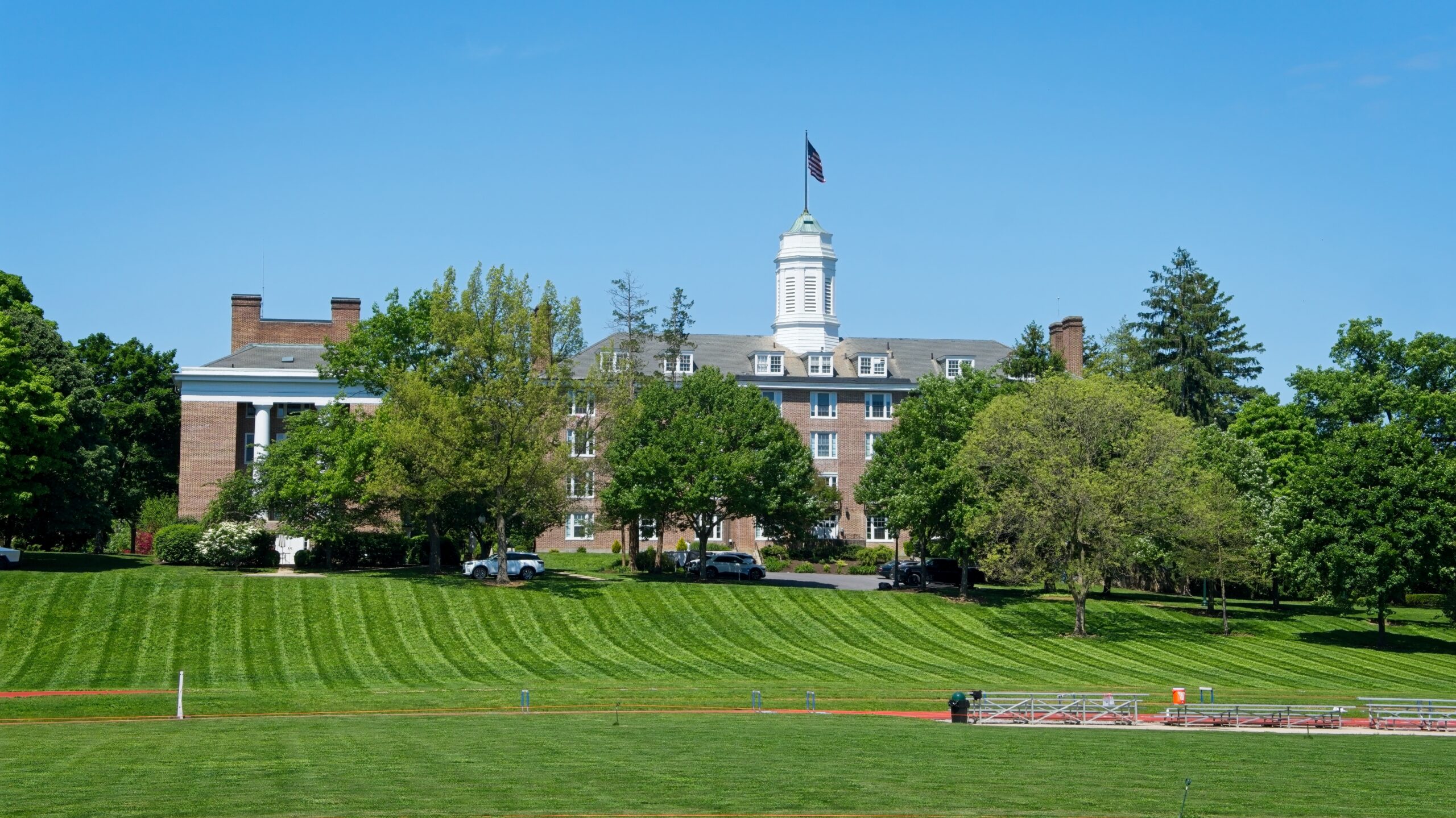
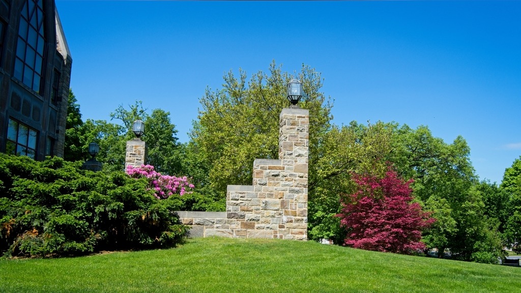
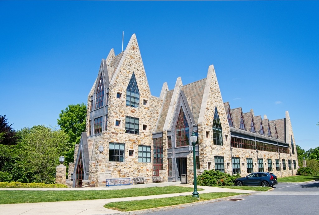
Mercersburg Academy (formerly Marshall College and Mercersburg College) is an independent college-preparatory boarding and day high school. Founded in 1893, the school enrolls approximately 447 students in grades 9 through 12, including postgraduates. Among its illustrious alumni are James Stewart anb Benicio del Toro. It has a lovely and impressive campus.
Mercersburg is a borough in Franklin County that is 72 miles (116 km) southwest of Harrisburg. As of the 2020 census, Mercersburg had a population of 1,507. The land currently known as Mercersburg was previously territory of the Massawomeck people who were part of the Iroquois Nation.
Due to its location in a rural area, it had a relatively large percentage of African-American workers who had been enslaved from the Revolution. It was called “Black Town” in the early 19th century before incorporation under its current name. Refugee African Americans escaping from slavery in the South also settled here, and the area was known as “Little Africa”.
Mercersburg was platted in 1780. The borough was named after Hugh Mercer, a general and hero in the American Revolutionary War. A post office has been in operation at Mercersburg since 1812.
Located near the southern border of Pennsylvania, the rural community became a place of refuge during the antebellum years for escaped African Americans who had been enslaved in the South. Some came to the area via the Underground Railroad. After the American Revolution, Pennsylvania had abolished slavery. In this area were communities of free African Americans who had worked in agriculture. It was relatively easy for refugees to join their communities after passing over the border of Maryland. In later years, black people moved away from here as they were at risk from slavecatchers, especially after passage of the Fugitive Slave Act in 1850, which had more stringent rules against free states. Many African Americans moved to Philadelphia, which had a large and free black community, which helped new arrivals get settled.
The Mercersburg Historic District, Lane House, and Mercersburg Academy are listed on the National Register of Historic Places.
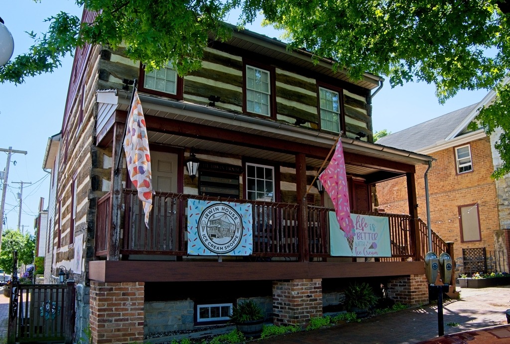
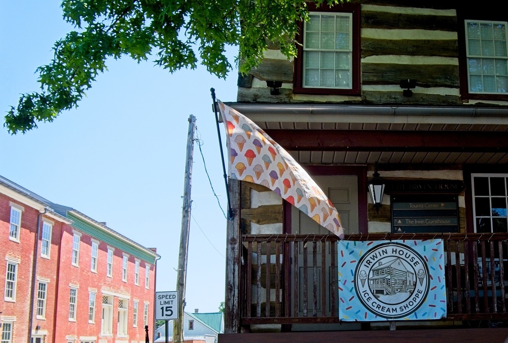
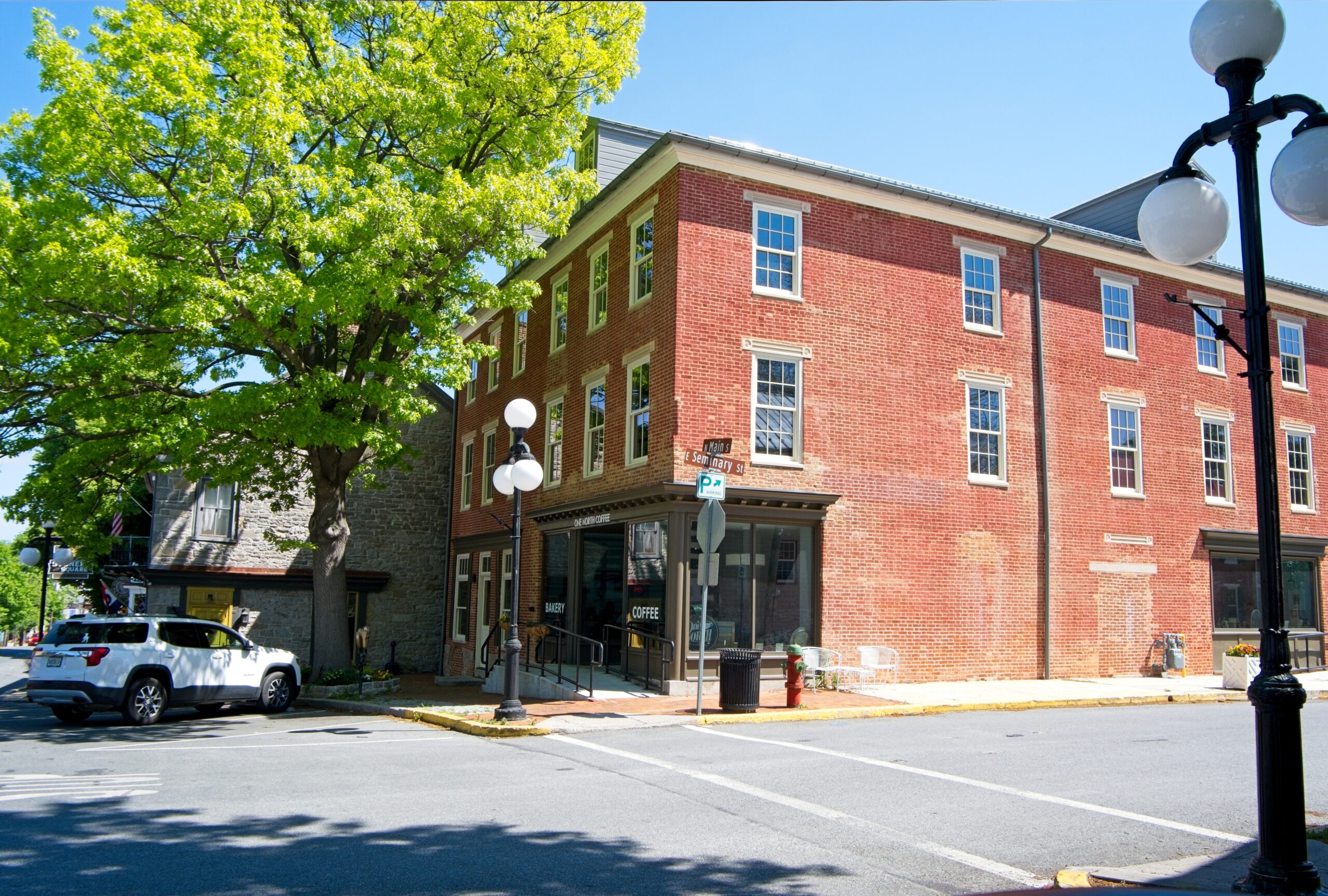
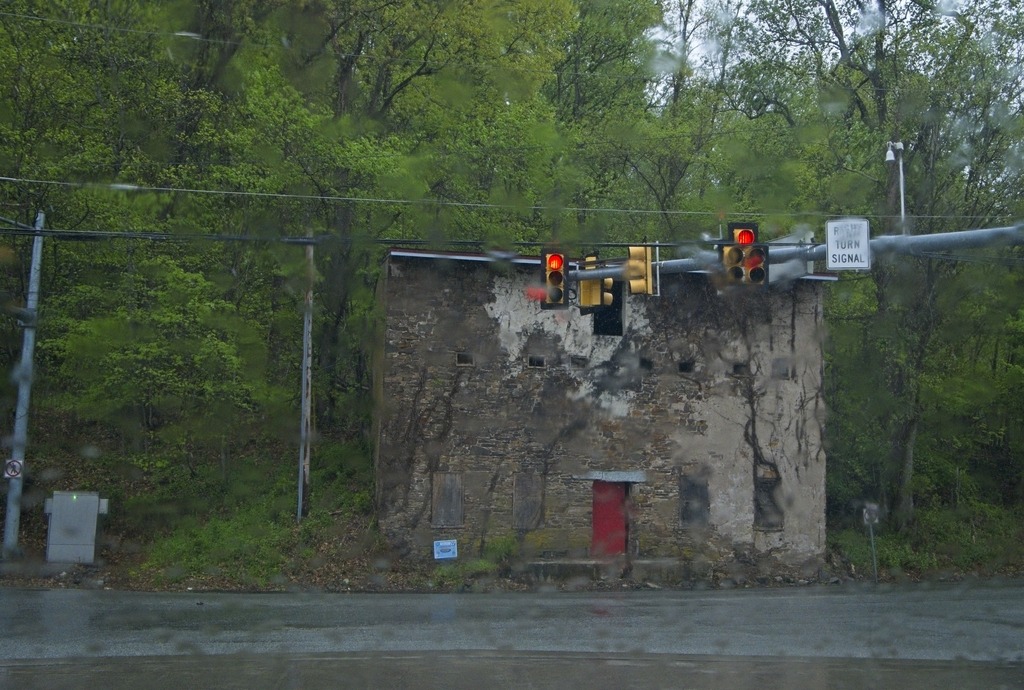
The Irwin House
On September 26, 2003, this corner property was destroyed by fire exposing this log house built in 1791-1792 by Archibald Irwin. Irwin’s granddaughter Jane married William Henry Harrison, Jr., and served as First Lady when her father-in-law, William Henry Harrison, Sr., was elected 9th President of the United States. Irwin’s granddaughter Elizabeth married John Scott Harrison and became the mother of Benjamin Harrison, who served as 23rd President of the United States.
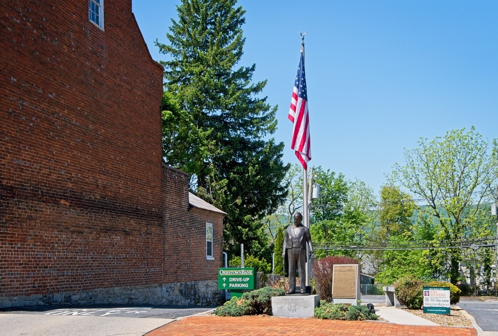
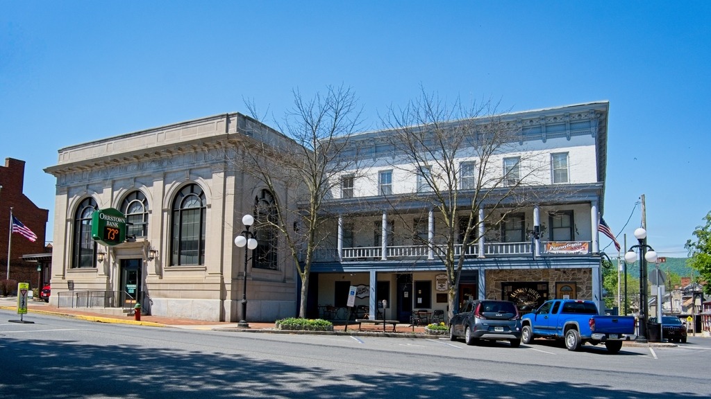
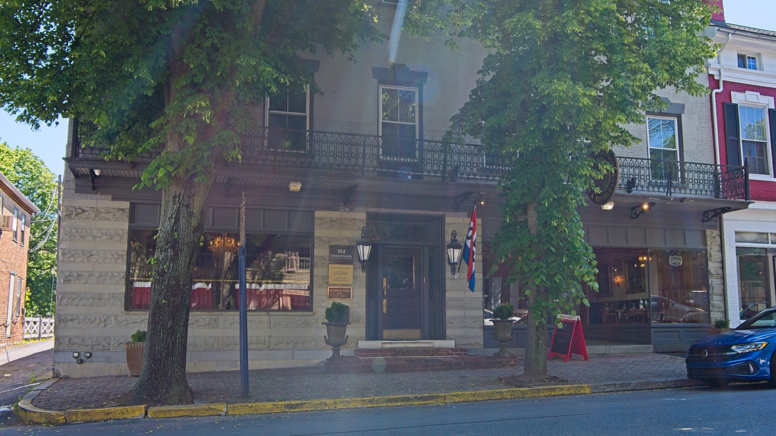
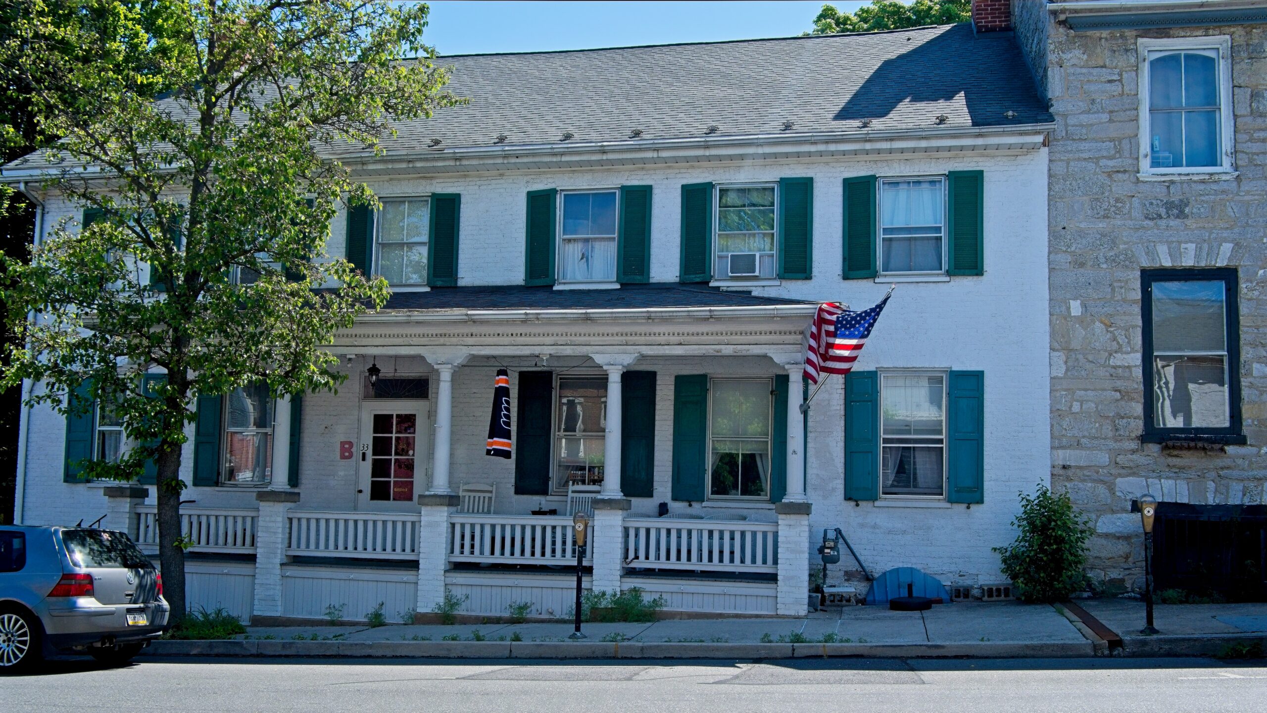
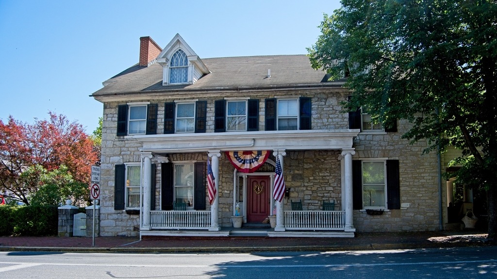
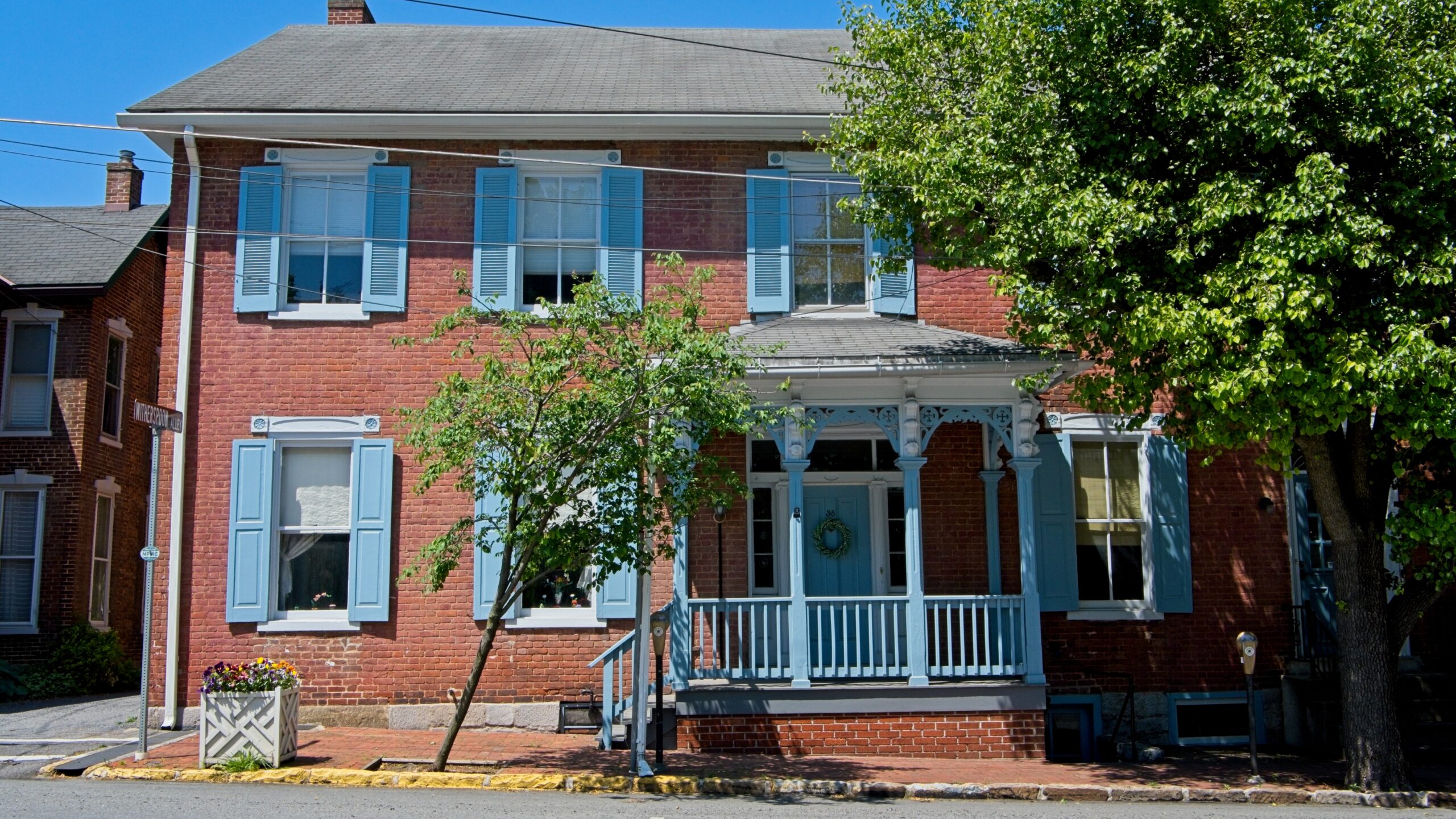
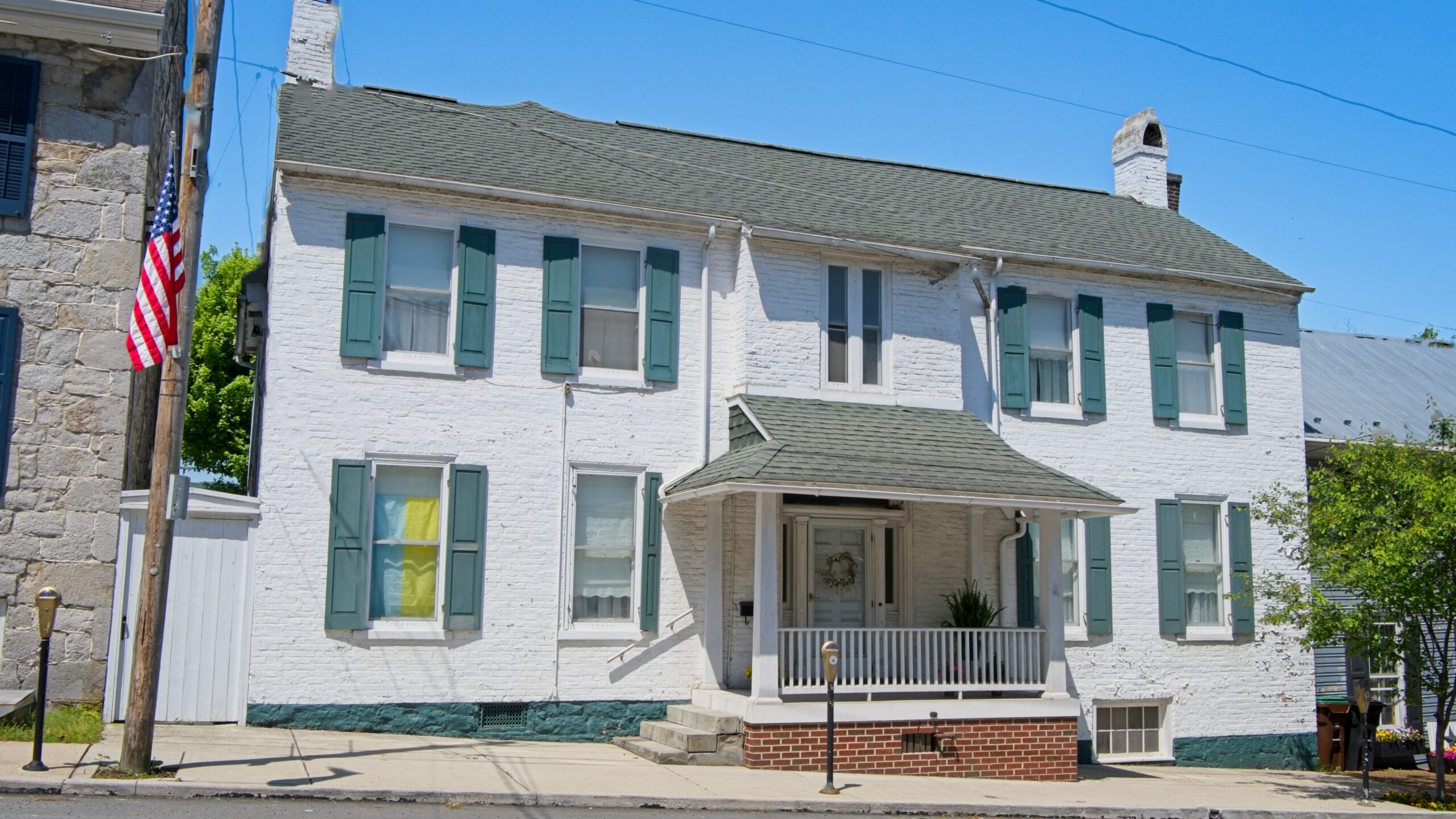
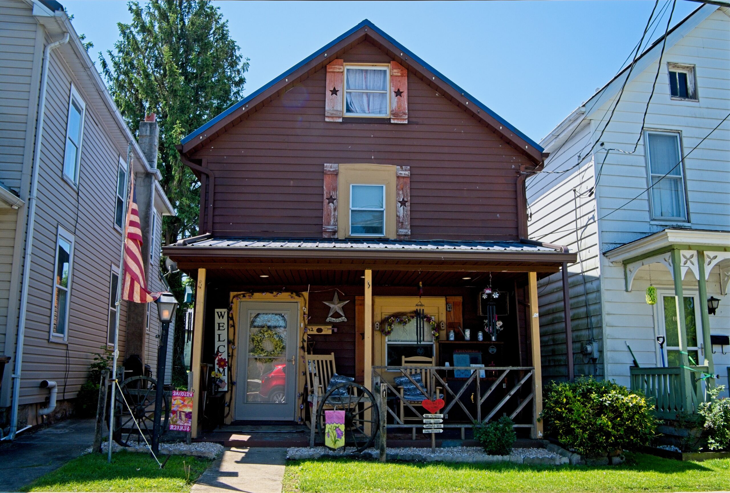
The statue if James Buchanan.Stoner’s Mansion HouseMany beautiful older properties around town.
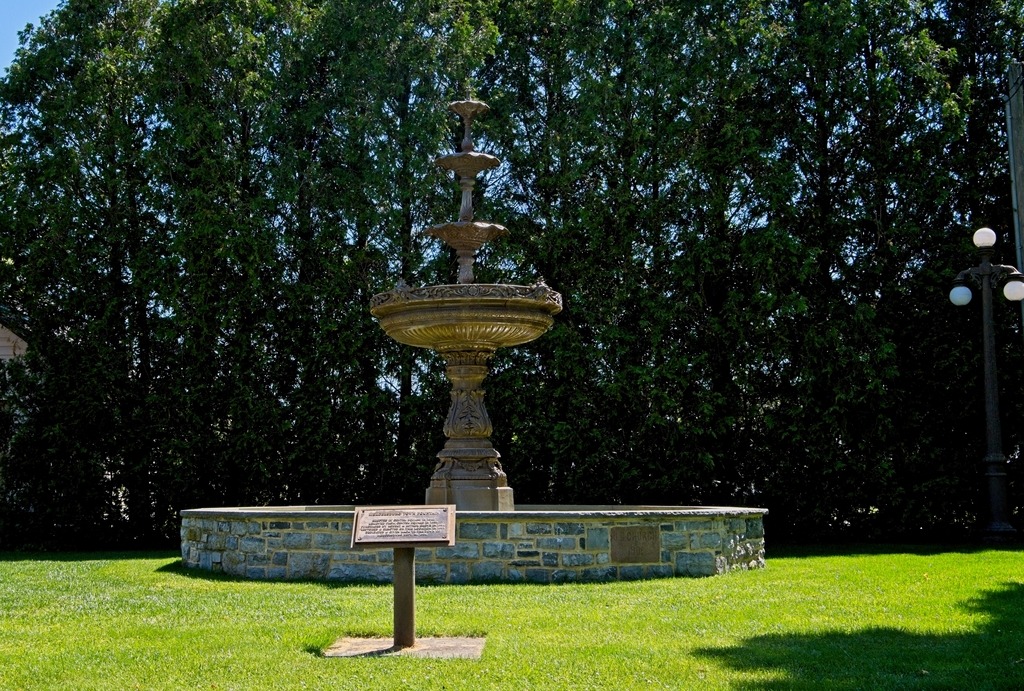
The Mercersburg Fountain is a beloved historical icon, originally placed in Center Square (The Diamond) in 1916. In 1915, the Woman’s Club of Mercersburg (now the Women’s Club) successfully raised money to install a fountain instead of a grass plot. The fountain stood in the Square until it was removed in 1959. After being lost for decades, it was purchased from an antique collector in 1991, restored, and rededicated to the Borough in 1994, finding a new home on North Fayette Street.
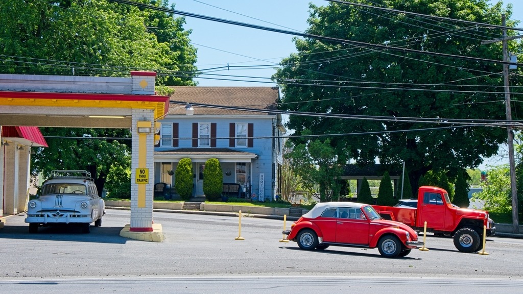
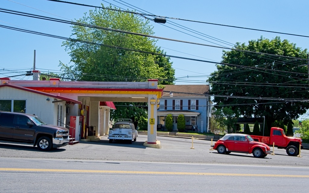
Probably the most interesting used car dealer I’ve ever seen.
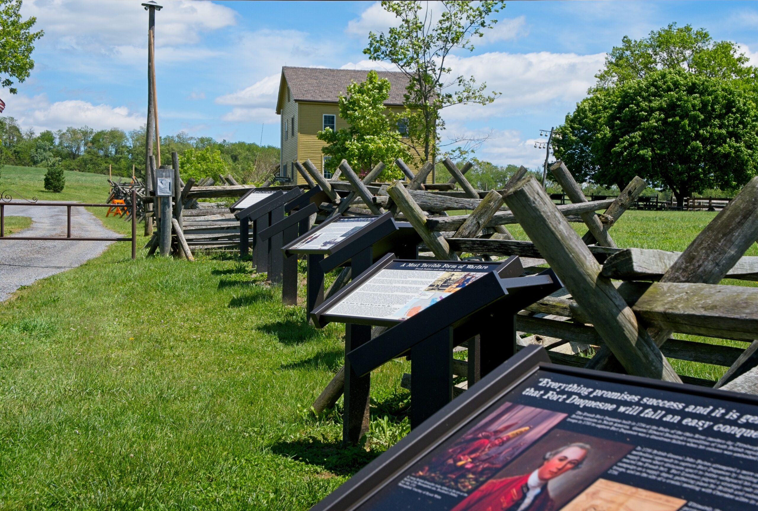
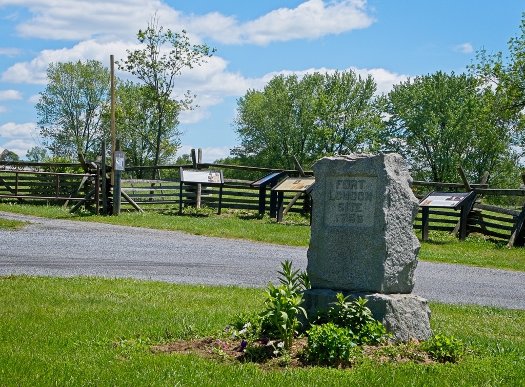
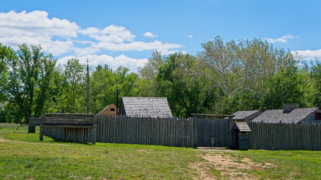
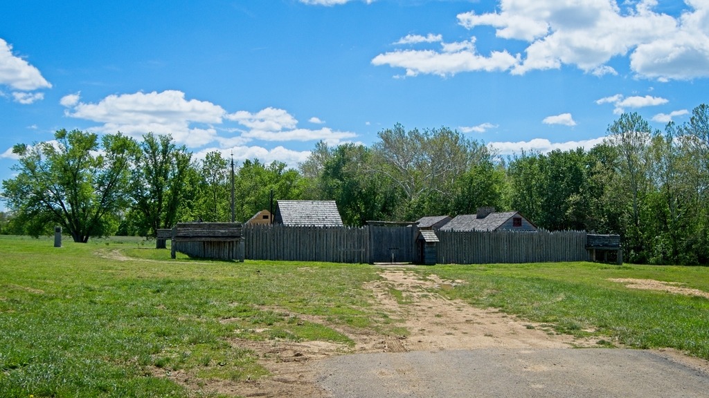
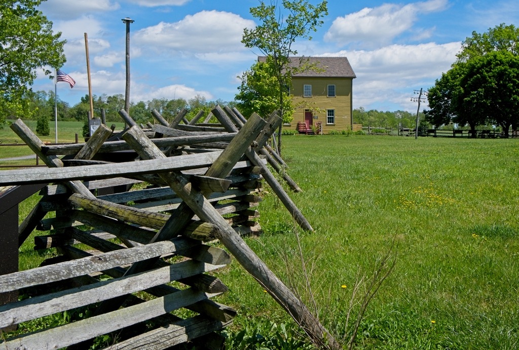
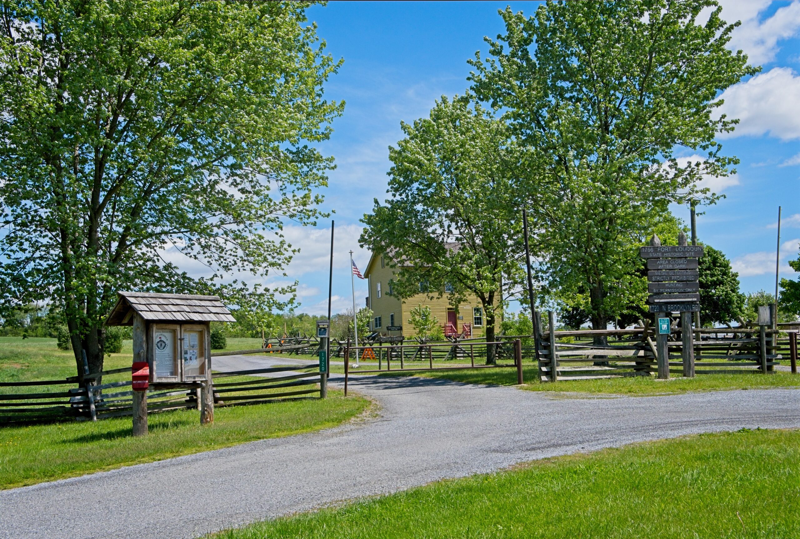
The colonial Fort Loudoun was built in 1756 during the French and Indian War as a supply depot. A replica of the fort, built in 1993, stands at the corner of US 30 and Brooklyn Road North, at the southeastern corner of the CDP. There are events anb workshops held at the site, although hours for tours can be variable. The exterior of the property and access to Conococheague Creek for fishing is available from sunup to sundown. Please check the fort’s website for more informaiton.
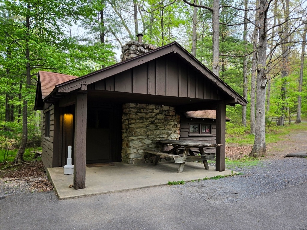
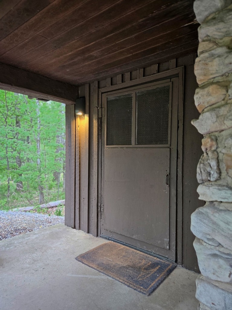
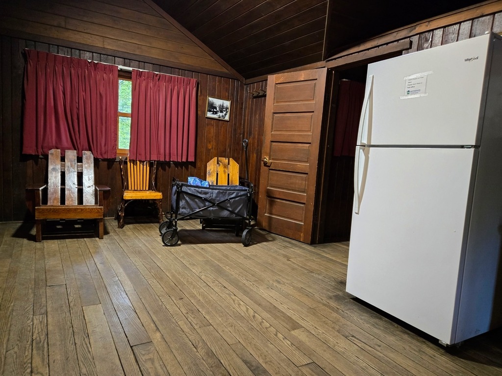
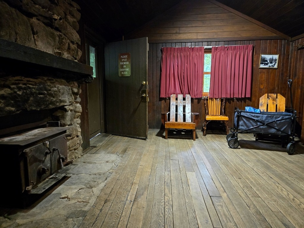
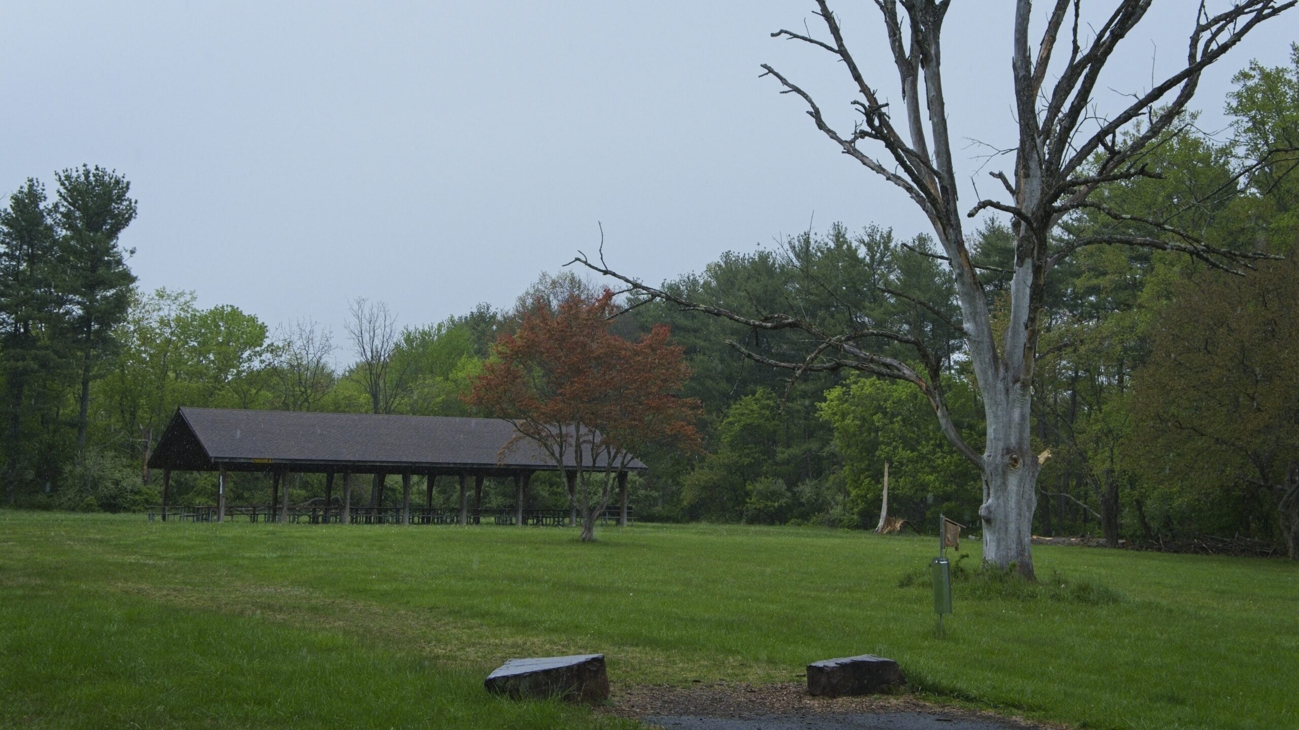
Cowans Gap State Park has 201 campsites in two loops. The camping area is open from mid-April until mid-December. The campsites can accommodate campers from a small tent to a large motor home, with seven walk-in tent sites are adjacent to Camping Area B. There is also a rutic cabin colony, built by the CCC. Here is a look at one of the cabins I stayed in.
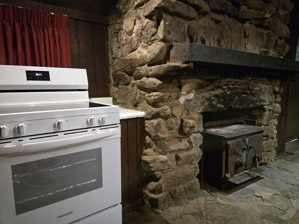
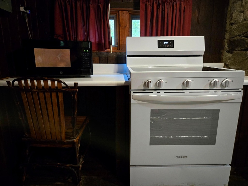
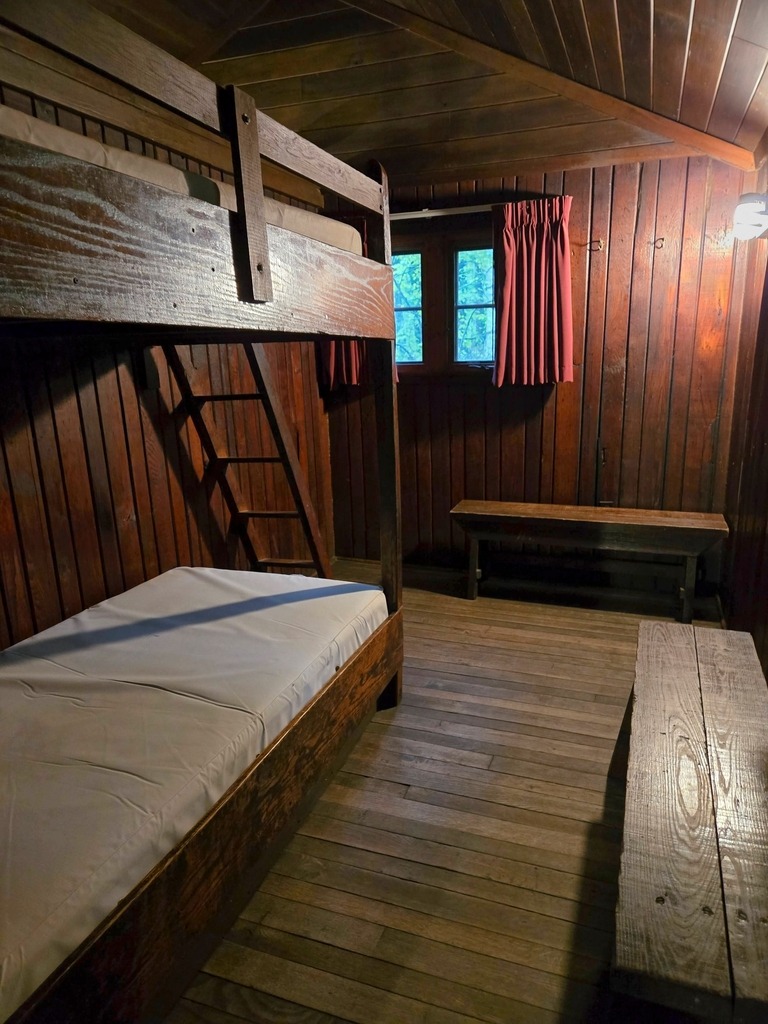
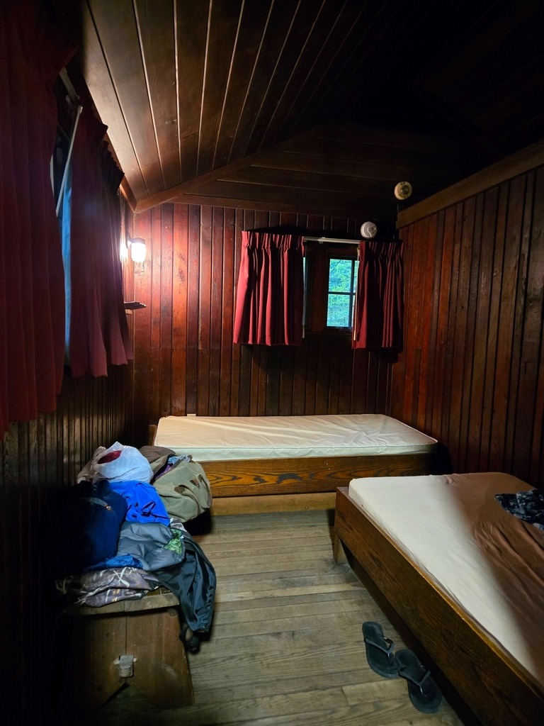
The fireplace, mantel, some of the chairs, benches and bunks seem to be original, in addition to the outer structure of the cabin. Forgive the sight of my stuff strewn around, I forgot to take photos first.
This cabin had an interior wall separating the sleeping area into two rooms.
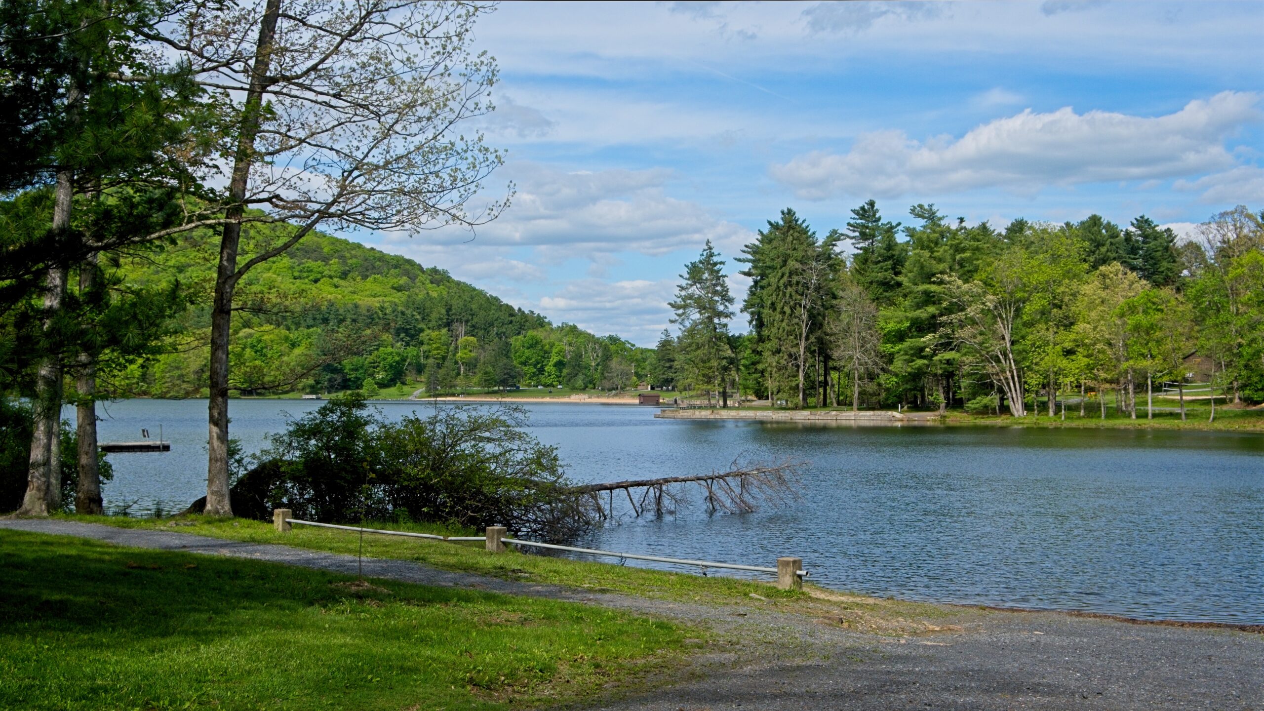
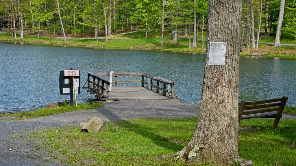
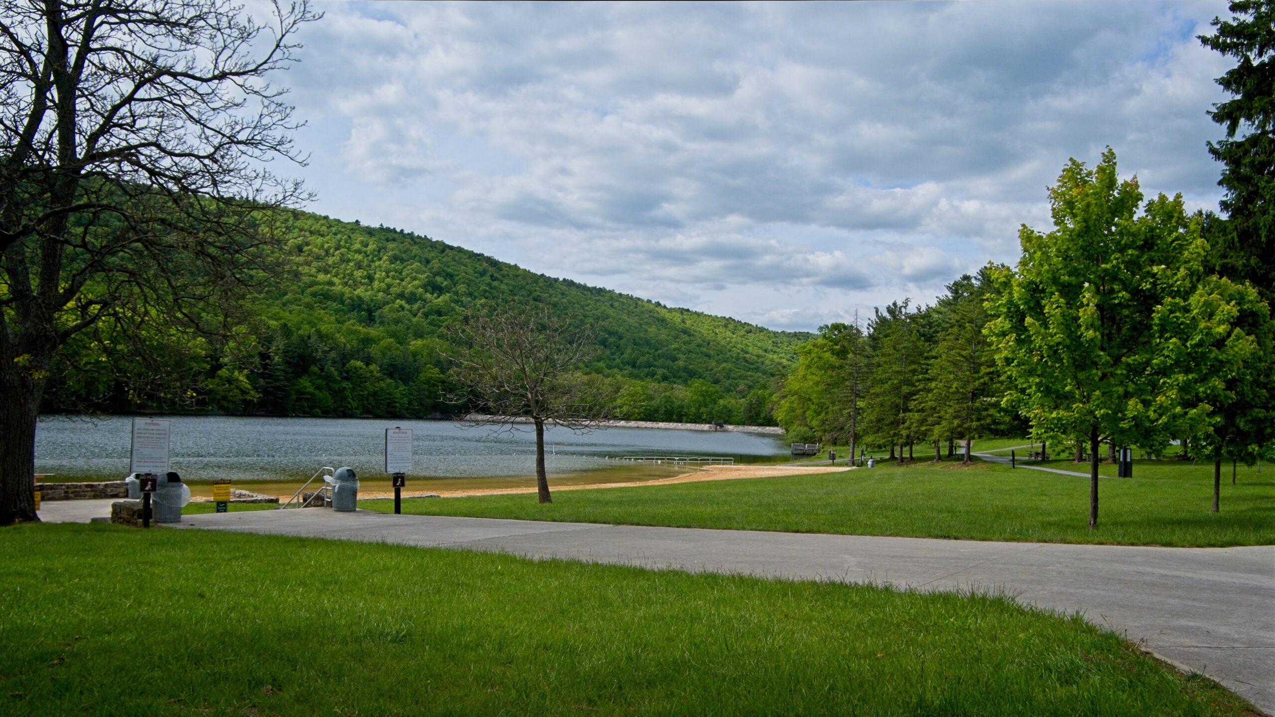
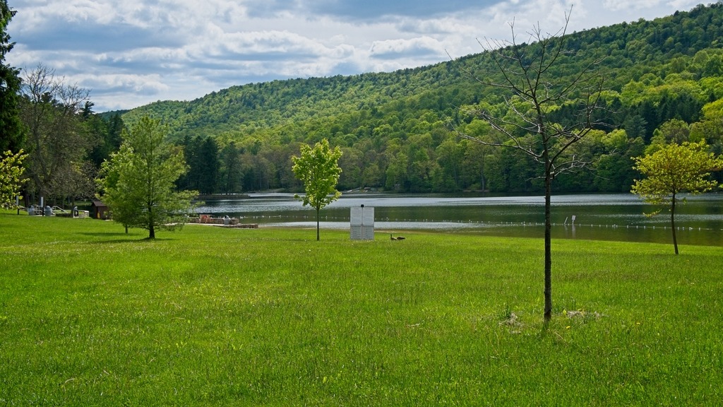
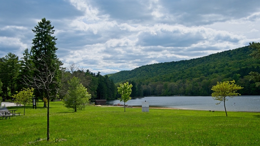
Cowans Gap State Park is a 1,085-acre (439 ha) Pennsylvania state park in Fulton County. The park is largely surrounded by Buchanan State Forest in Allens Valley just off Pennsylvania Route 75 near Fort Loudon. The park is lovely, and although I have visited before, I was happy to be back.
A boat access for the lake.The swimming beach at the day use area.
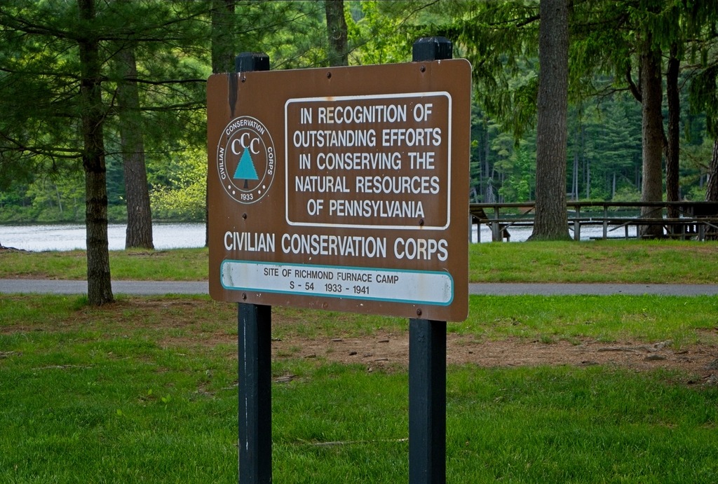
The Civilian Conservation Corps provided work for the unemployed from throughout the United States. A CCC camp, Richmond Furnace Camp PA-SP-54, was built at the site of Cowans Gap State Park. At first the young men lived in tents, but they soon built cabins (which are still in use at the park). The young men of the CCC also planted thousands of acres of new trees, built four bridges, 30 miles (48 km) of state roads, 32 miles (51 km) of fire trails, and 11 miles (18 km) of telephone lines. In addition, the CCC also cleared the forests and streams of brush, built pavilions, and constructed the dam that created Cowans Gap Lake. The park opened to the public in 1937.
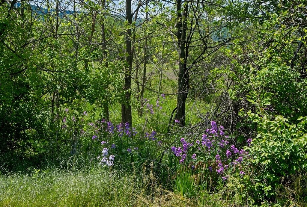
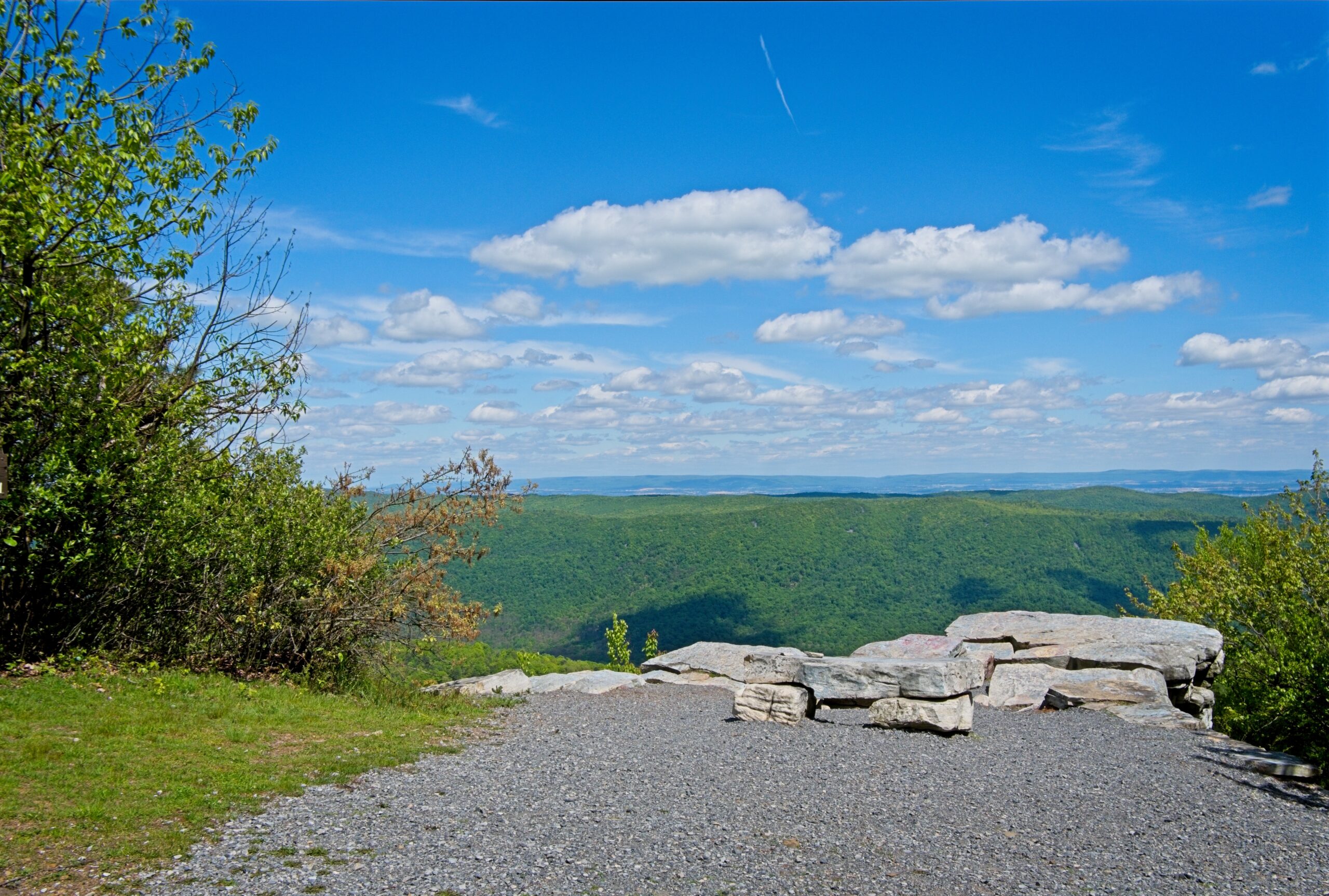
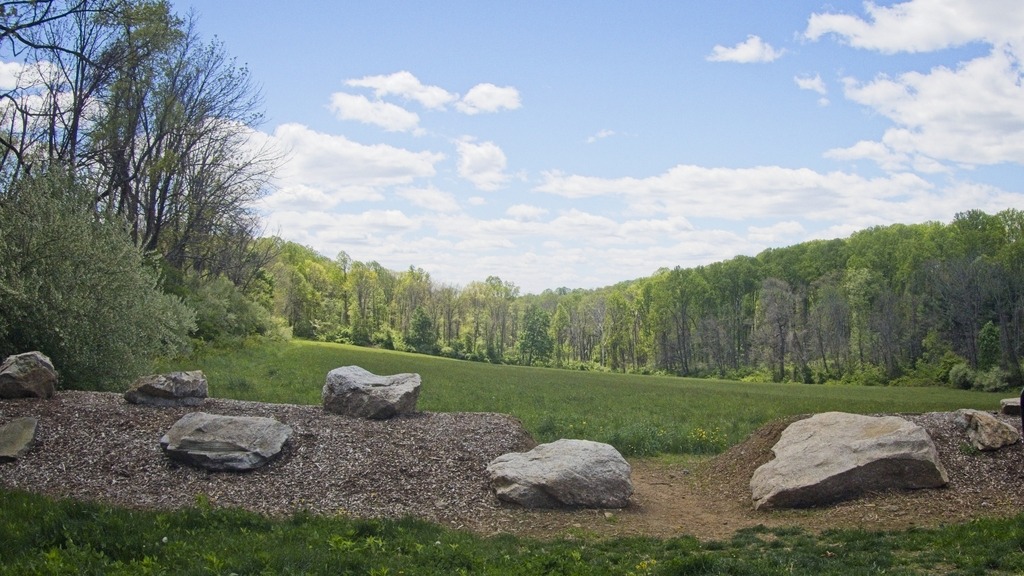
Big Mountain Overlook sits near the border of Franklin and Fulton counties. It makes for a nice, quick side trip from Route 30. It has spectacular views in the Autumn but is lovely an time of year. The Tuscarora Trail passes nearby,
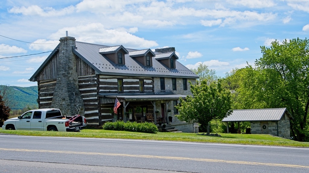
I first needed to make a quick pitstop for lunch and groceries in Spring Run after exting the turnpike at Willow Hill. This partial log cabin home was an interesting site nearby. I wonder if the log section is old.
The overlook was the first official stop on my trip. I had been on the access road before but managed to miss the overlook. This overlook it not to far from the parking area at the end of the cul de sac on Tower Road.
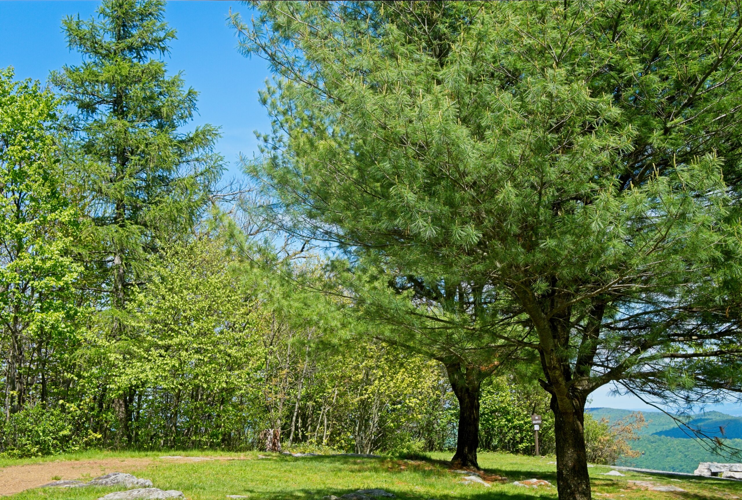
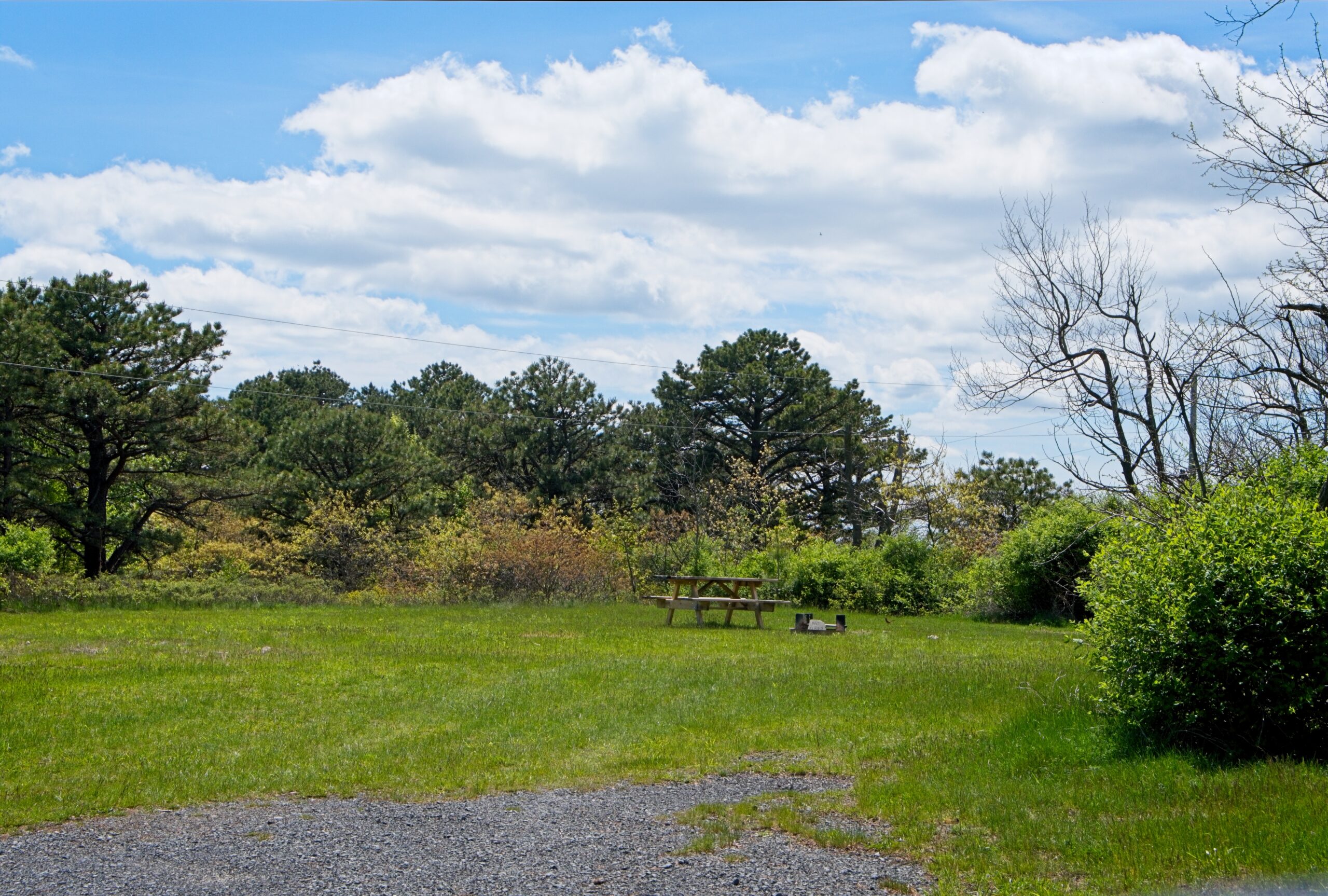
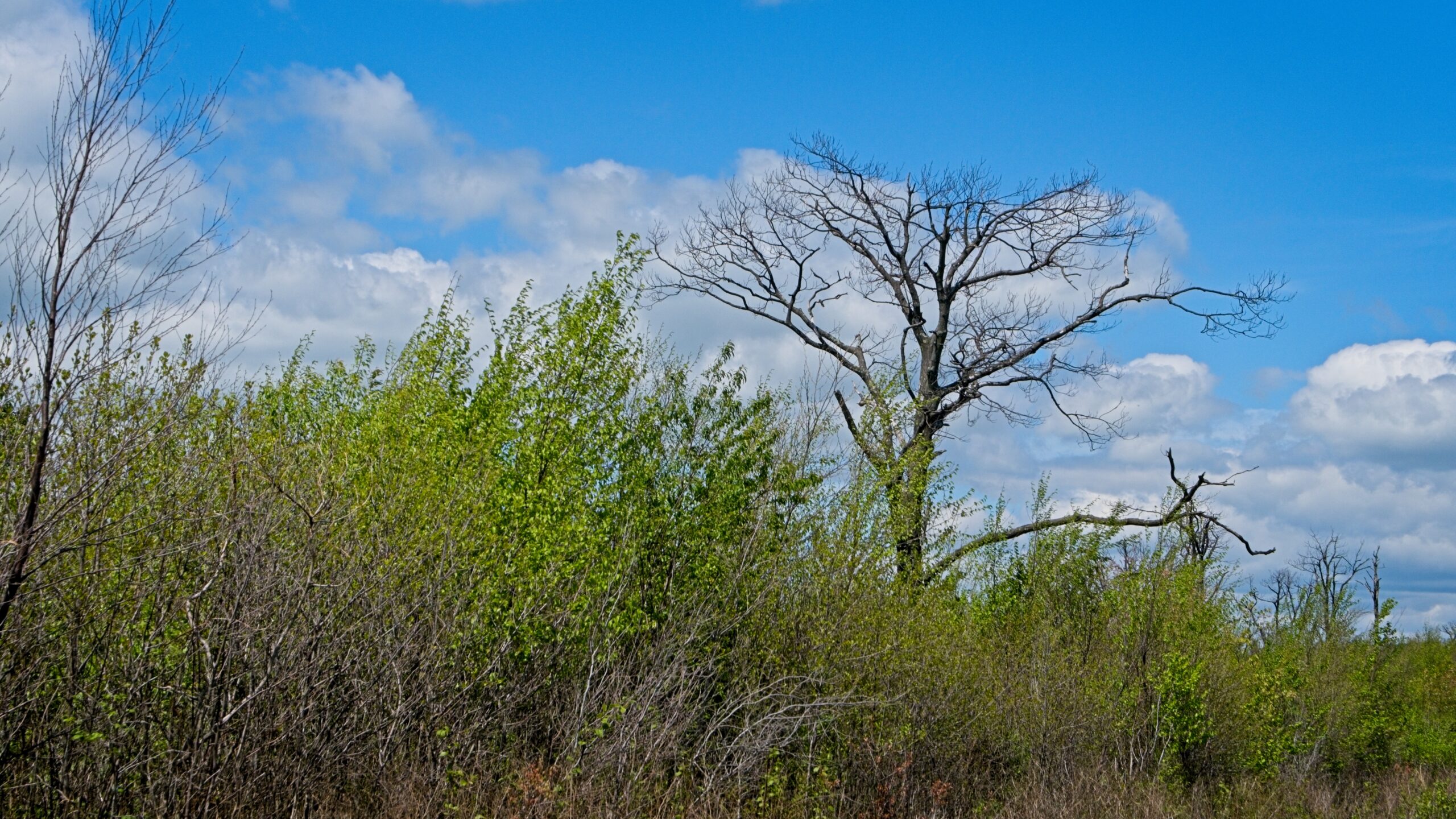
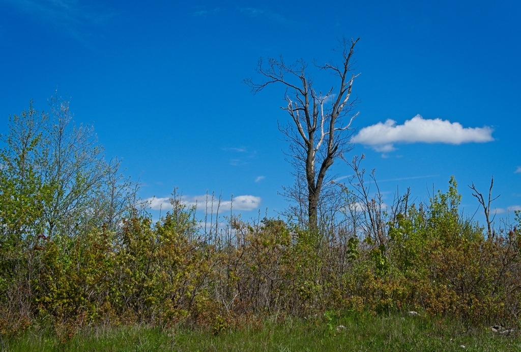
There are siome state forest camp sites along Tower Road.The vegetation along the road is unusually low.
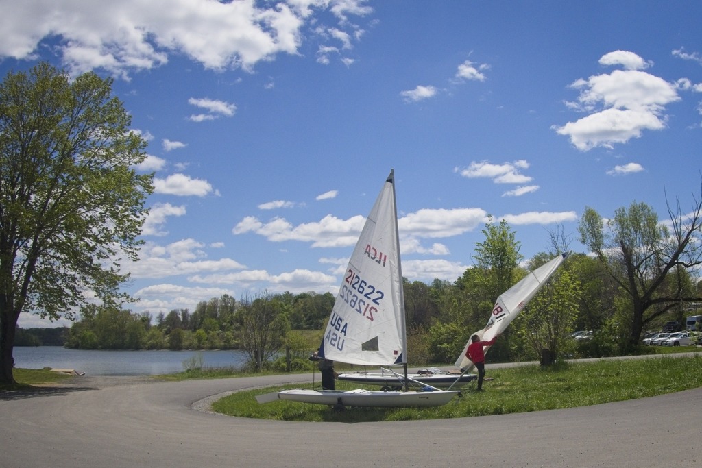
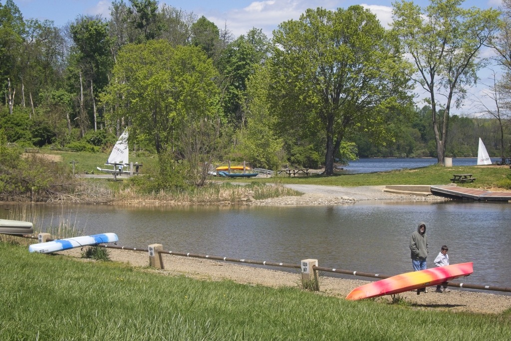
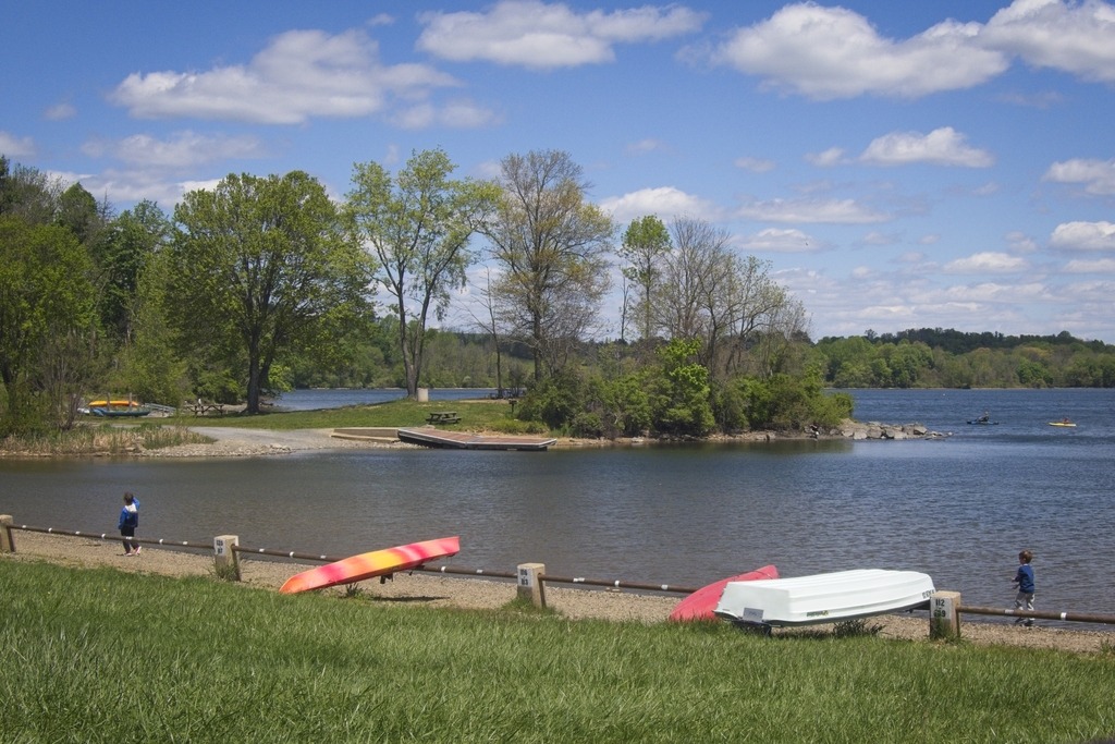
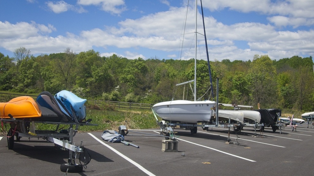
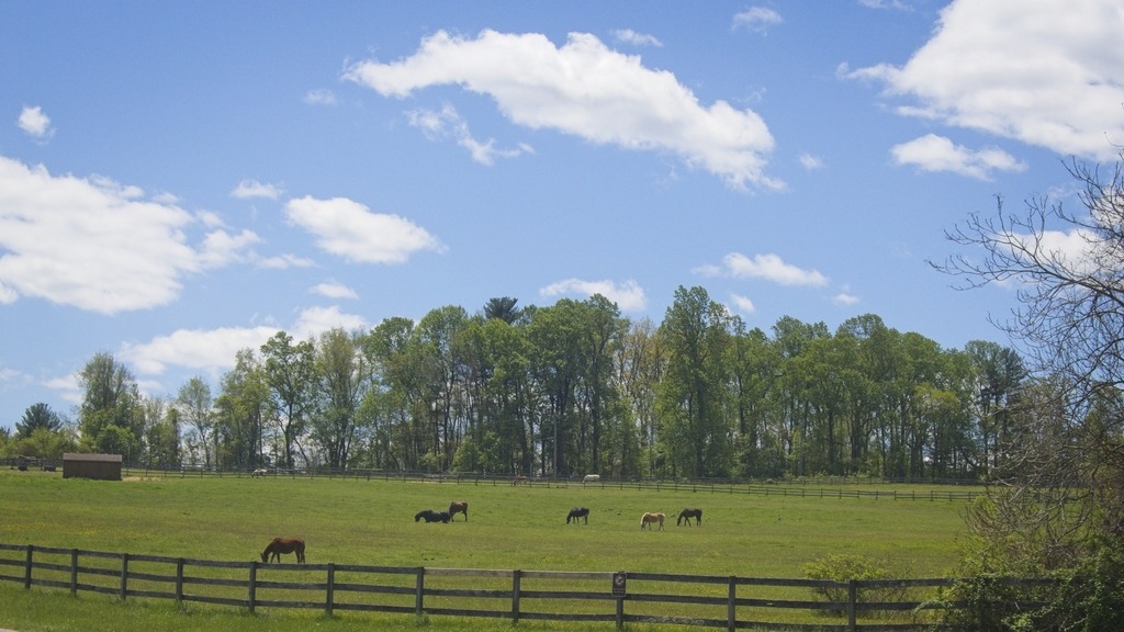
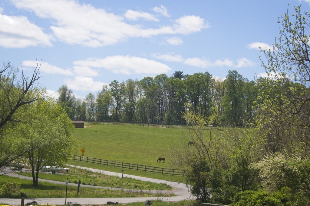
The Spring birding season led to another trip to Marsh Creek State Park in Chester County. The park was active with boaters getting ready for the season in relatively nice weather for May.
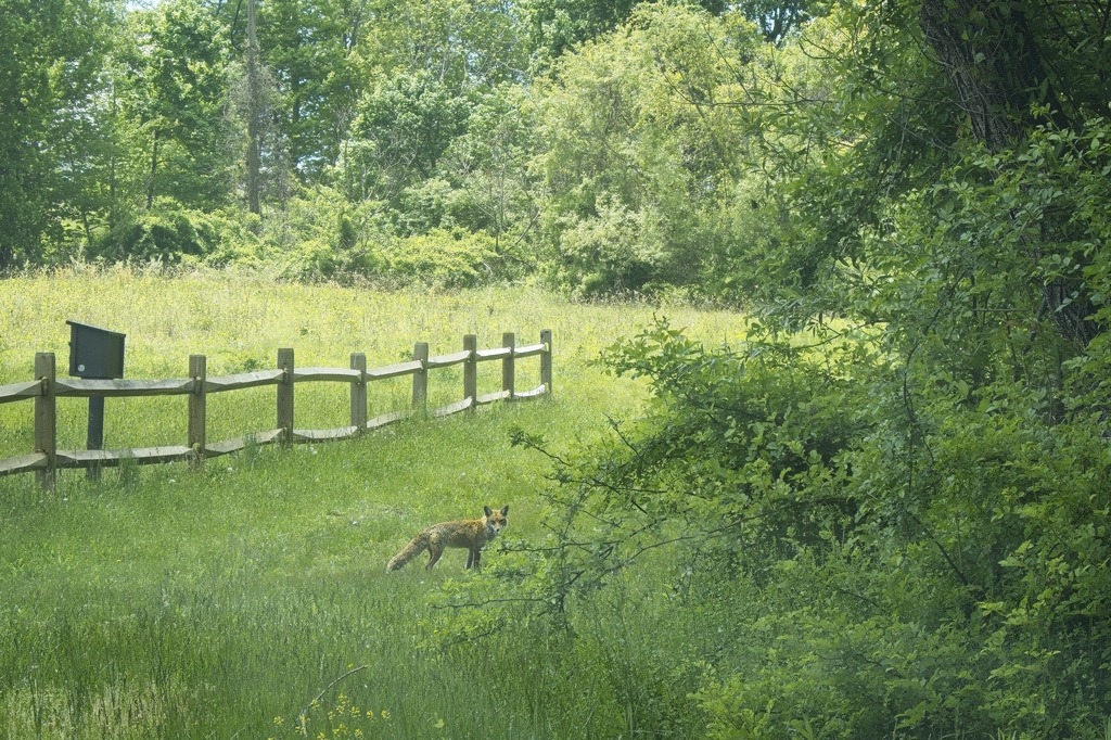
At the west boat launch.This fox was out enjoying the sun.More horses than unusual out in the pasture.The new access point off Chalfont Road.
Kuster Mill, also known as Custer’s Fulling Mill and Skippack Creek Farm, is a historic fulling mill in Evansburg State Park on Skippack Creek in Montgomery County. The complex includes three contributing buildings and one contributing structure. They are the original mill, mill race, a stone house, and a Dutch bank barn. It was added to the National Register of Historic Places in 1971.
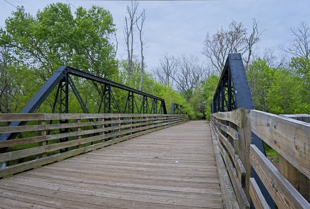
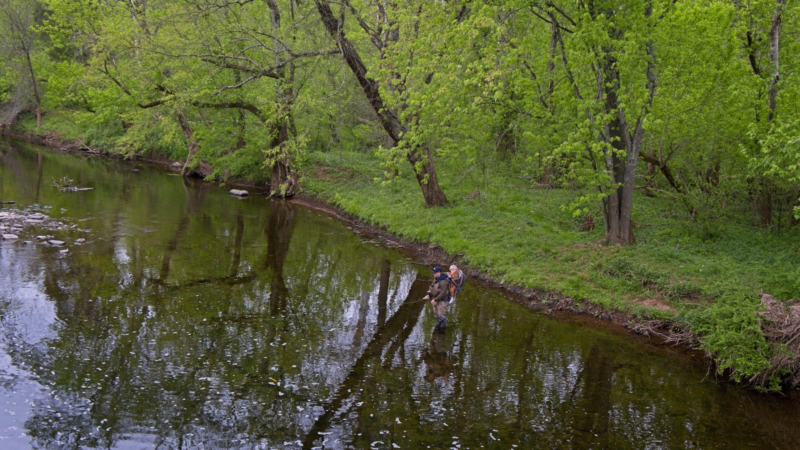
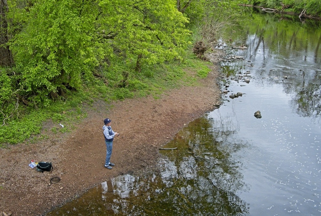
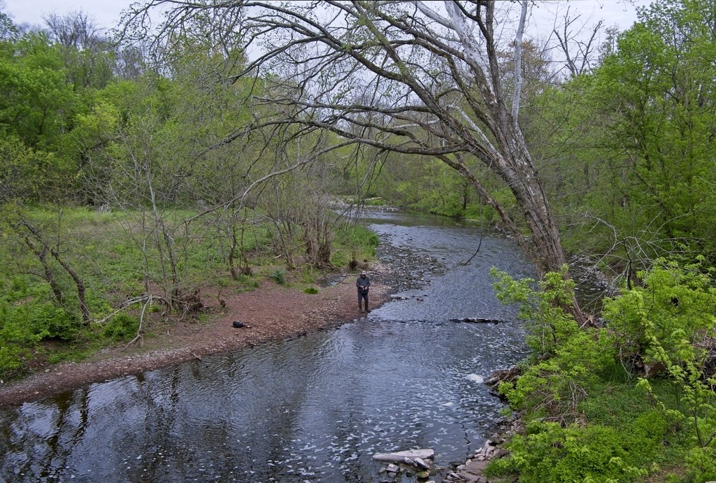
Today, the area is popular with fishermen and walkers in Evansburg State Park. I visited on a day in April when trout season was underway. The weather was grim, but that was not much of a deterrent to those enjoying the park.
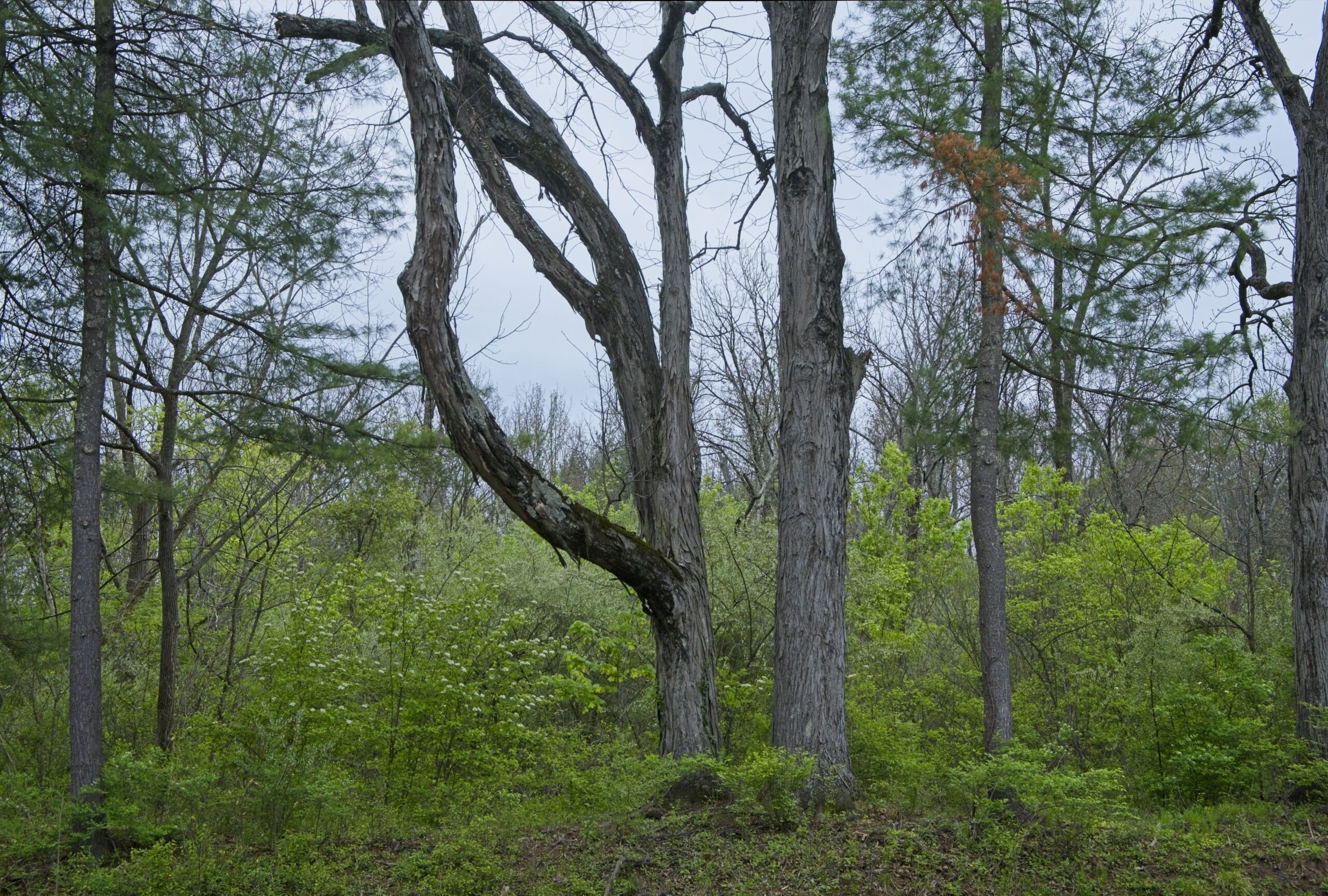
The pedestrian bridge.Fishing is family affair here.You have to wonder how trees get like this,The Friedt Visitor Center at Evansburg State Park.Along Arcola Road
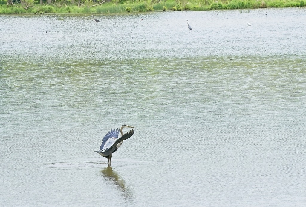
The great blue heron is one of my favorite birds, due in no small part to the fact there is a rookery near where I live. Here is a shot of one in action at the Octoraro Lake in Chester County. Note the bonus great blues in the background, as well as a faint great egret.
The great blue heron (Ardea herodias) is a large wading bird in the heron family (Ardeidae), common near shores of open water and wetlands over most of North and Central America, as well as Northwestern South America, the Caribbean, and the Galápagos Islands. It is occasionally found in the Azores and is a rare vagrant to Europe.
They are fairly easy to find in Pennsylvania if you know where to look. Coupled with their majestic, but positively prehistoric looks, the great blues are a favorite.